Union Point is a city in Greene County, Georgia, United States. As of the 2020 census, the city population was 1,597.
| Name: | Union Point city |
|---|---|
| LSAD Code: | 25 |
| LSAD Description: | city (suffix) |
| State: | Georgia |
| County: | Greene County |
| Elevation: | 673 ft (205 m) |
| Total Area: | 2.00 sq mi (5.19 km²) |
| Land Area: | 1.97 sq mi (5.11 km²) |
| Water Area: | 0.03 sq mi (0.08 km²) |
| Total Population: | 1,597 |
| Population Density: | 809.84/sq mi (312.61/km²) |
| ZIP code: | 30669 |
| Area code: | 706 |
| FIPS code: | 1378380 |
| GNISfeature ID: | 0356607 |
| Website: | www.unionpointga.org |
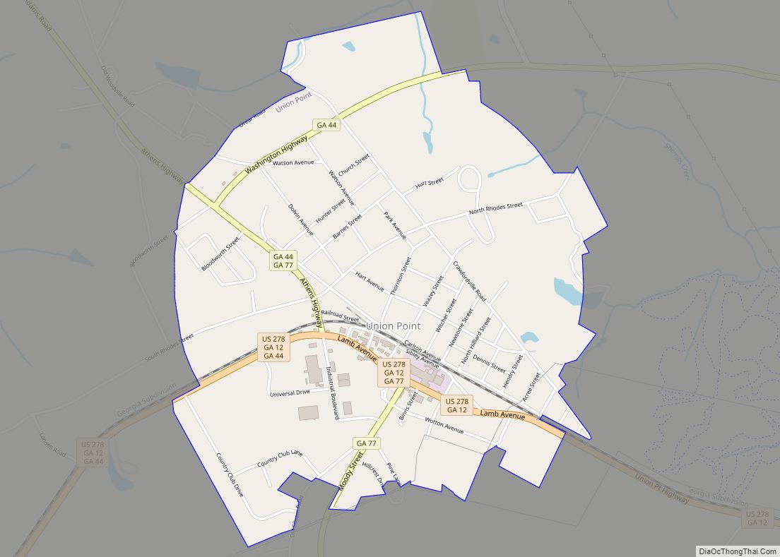
Online Interactive Map
Click on ![]() to view map in "full screen" mode.
to view map in "full screen" mode.
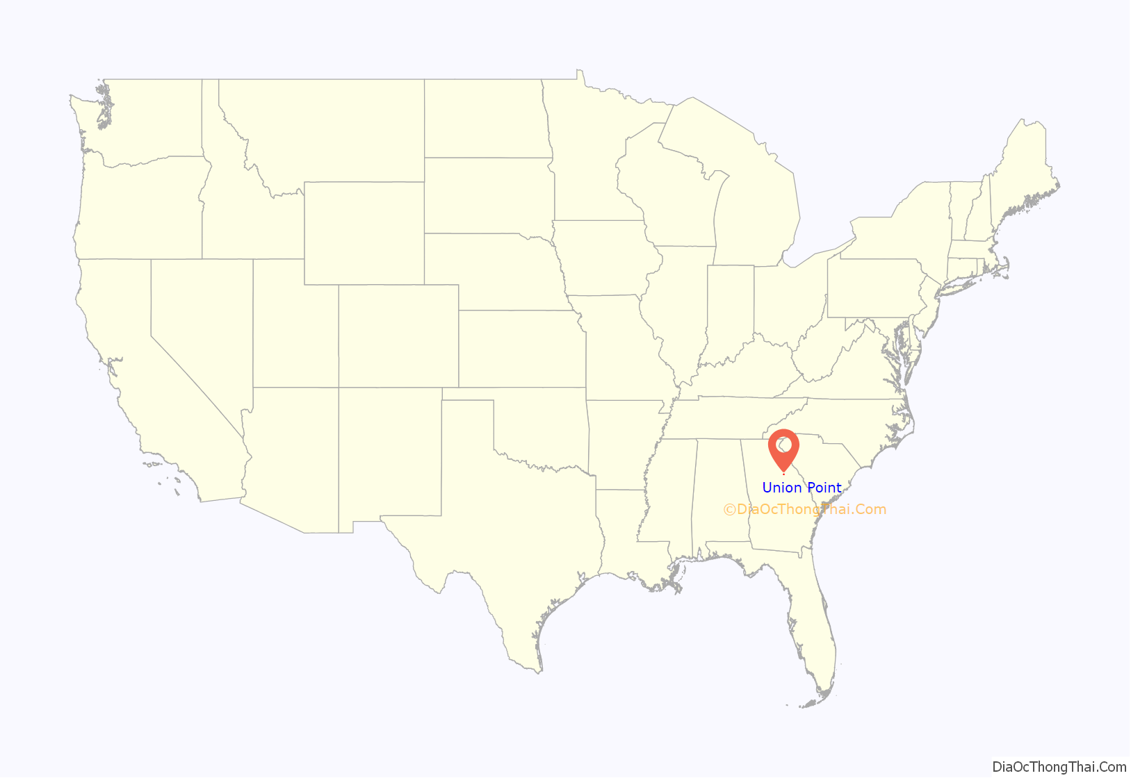
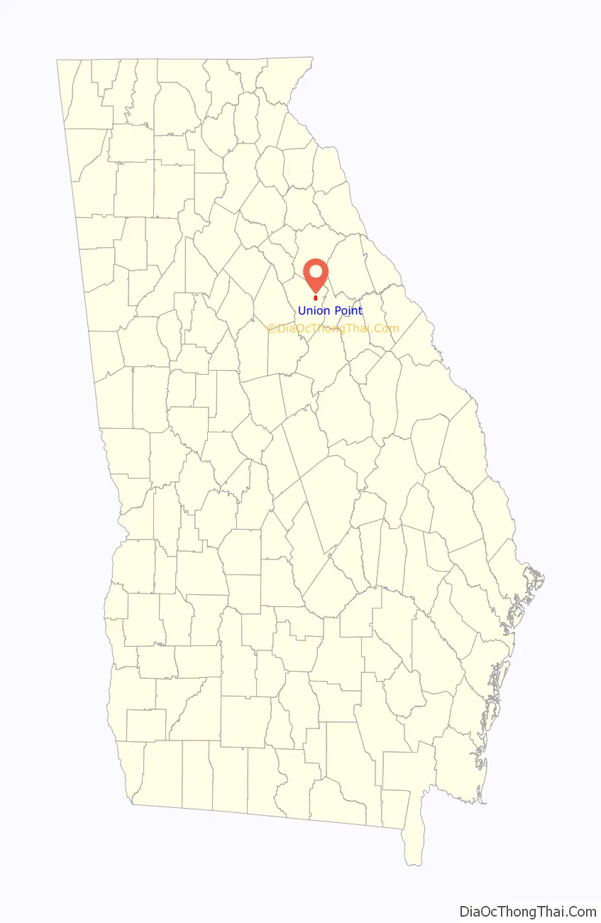
Union Point location map. Where is Union Point city?
History
Union Point was laid out in 1834, when the railroad was extended to that point. The name “Union Point” reflects the fact a railroad junction (“union” of rails) met at the site.
The Georgia General Assembly incorporated Union Point as a city in 1904.
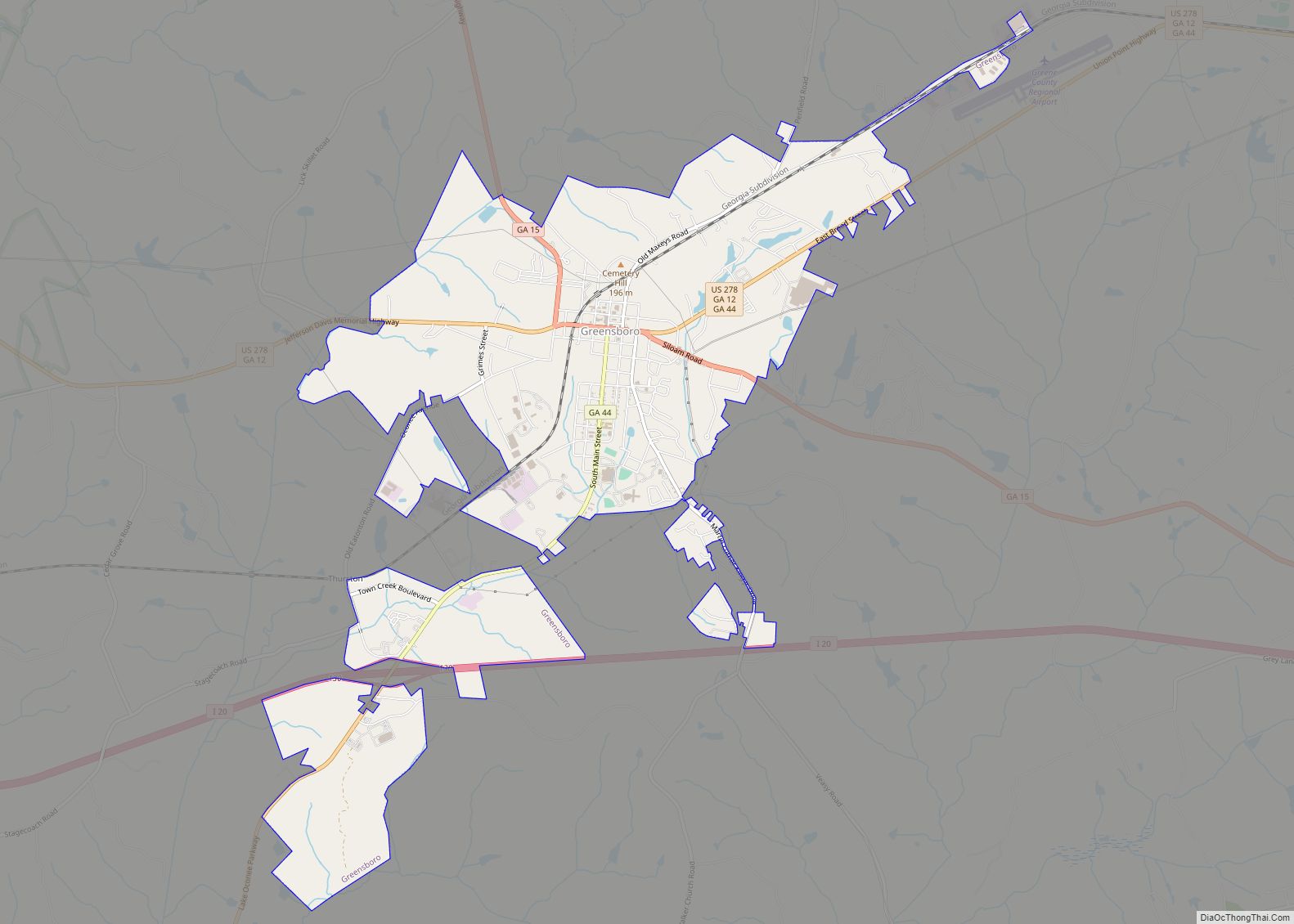
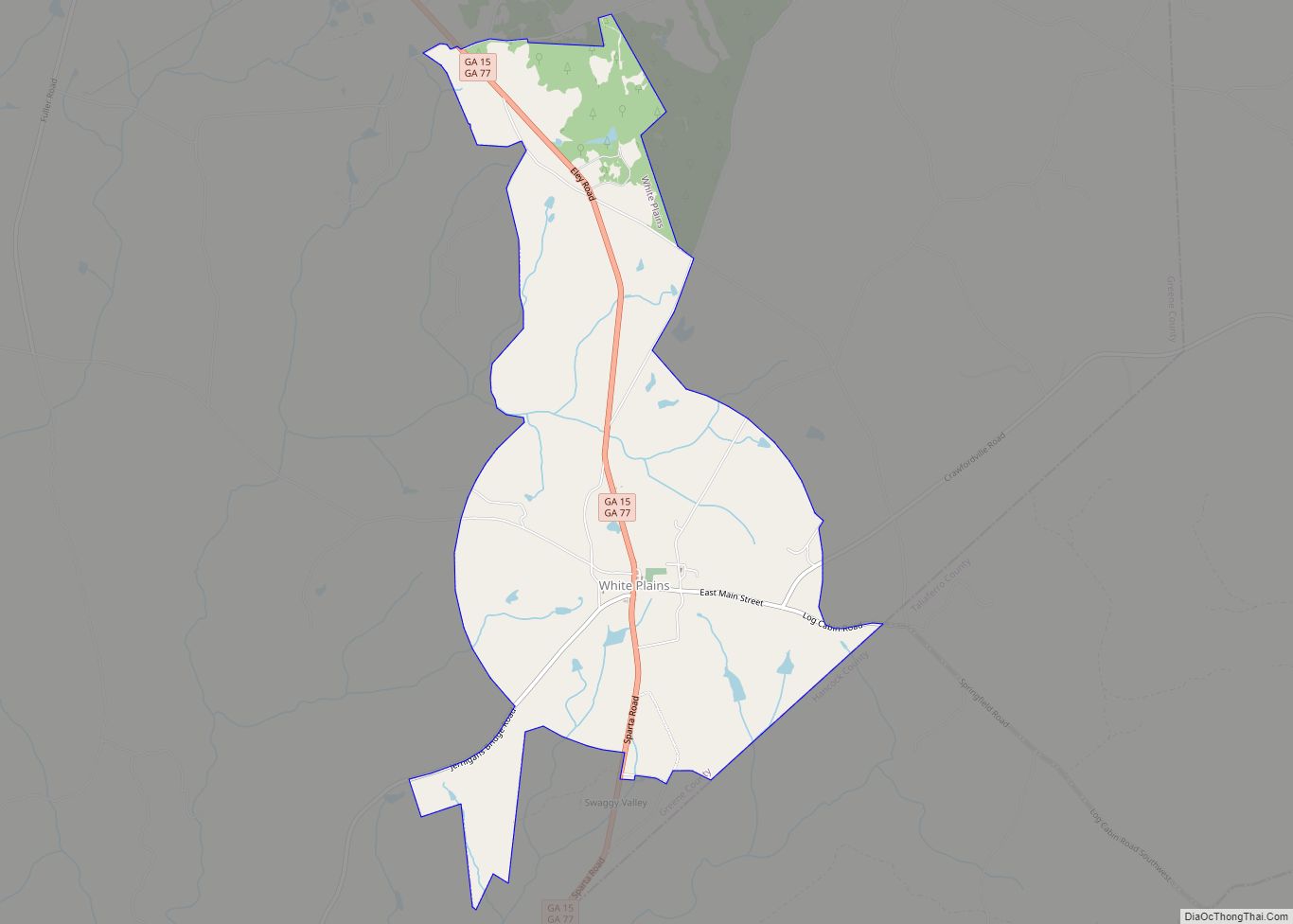
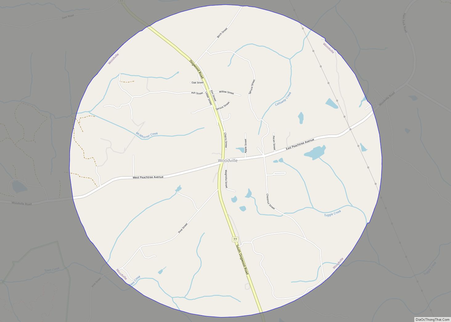
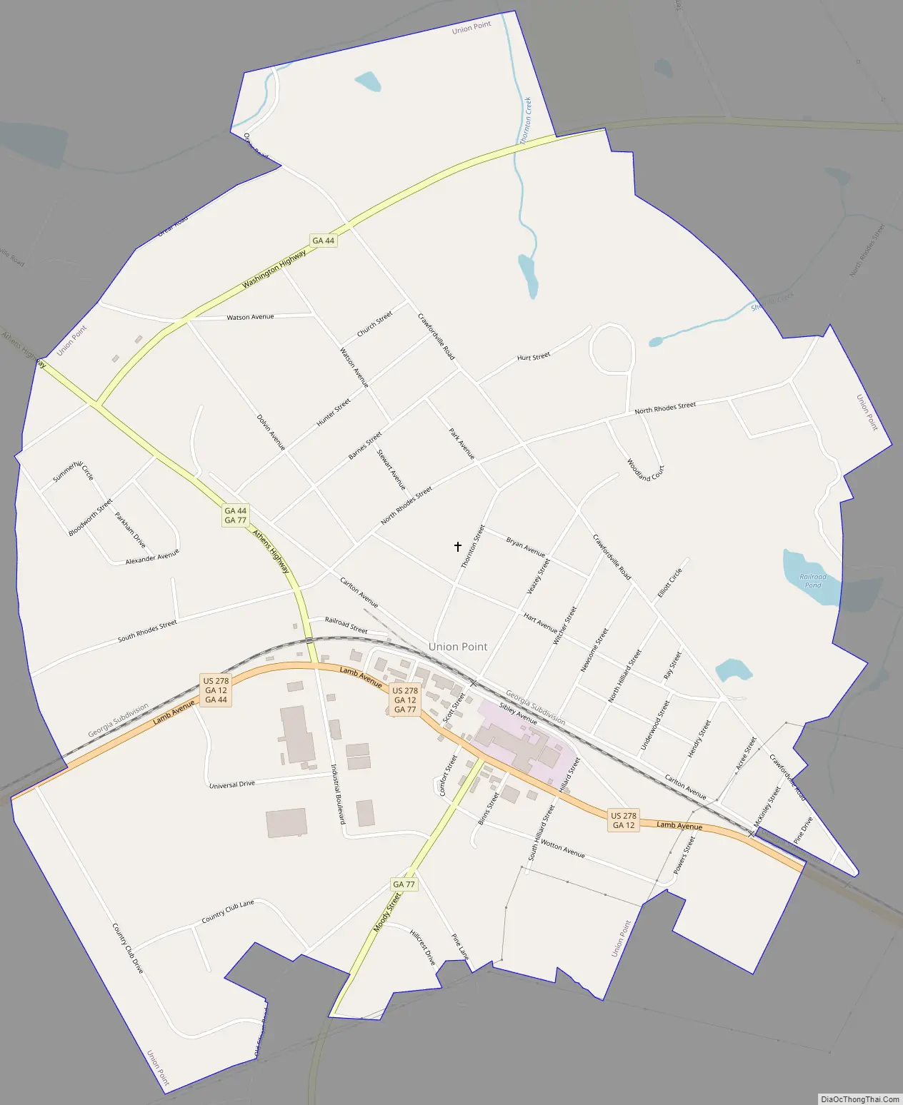
Union Point Road Map
Union Point city Satellite Map

Geography
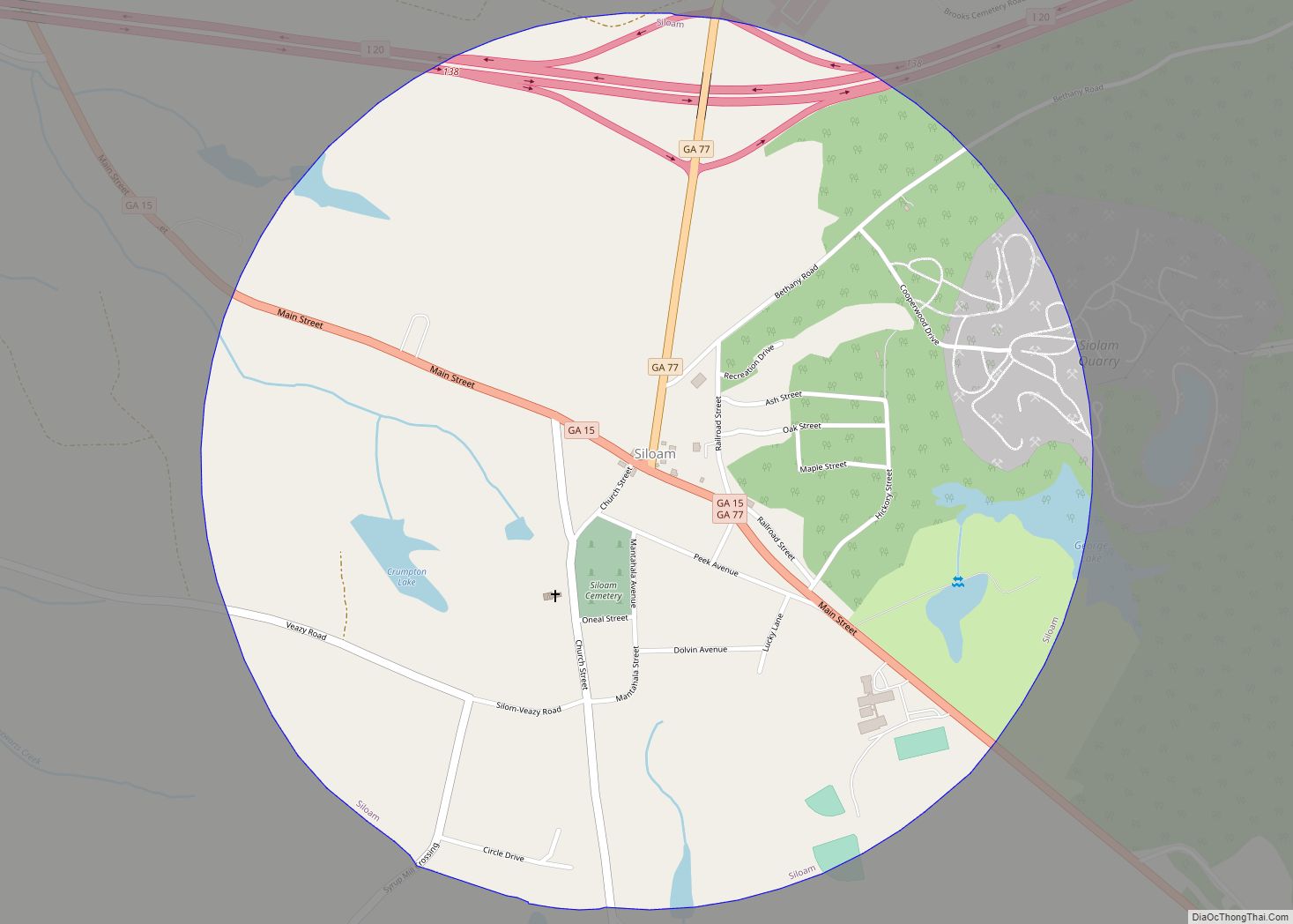
Union Point is located in eastern Greene County at 33°36′59″N 83°4′26″W / 33.61639°N 83.07389°W / 33.61639; -83.07389 (33.616263, -83.073905). U.S. Route 278 passes through the city as Lamb Avenue, leading east 11 miles (18 km) to Crawfordville and west 7 miles (11 km) to Greensboro, the Greene County seat. Georgia State Route 77 leads north 23 miles (37 km) to Lexington and south 5 miles (8 km) to Interstate 20 at Siloam, and State Route 44 leads northeast 22 miles (35 km) to Washington.
According to the United States Census Bureau, Union Point has a total area of 1.9 square miles (5.0 km), of which 0.03 square miles (0.07 km), or 1.34%, is water.
See also
Map of Georgia State and its subdivision:- Appling
- Atkinson
- Bacon
- Baker
- Baldwin
- Banks
- Barrow
- Bartow
- Ben Hill
- Berrien
- Bibb
- Bleckley
- Brantley
- Brooks
- Bryan
- Bulloch
- Burke
- Butts
- Calhoun
- Camden
- Candler
- Carroll
- Catoosa
- Charlton
- Chatham
- Chattahoochee
- Chattooga
- Cherokee
- Clarke
- Clay
- Clayton
- Clinch
- Cobb
- Coffee
- Colquitt
- Columbia
- Cook
- Coweta
- Crawford
- Crisp
- Dade
- Dawson
- Decatur
- DeKalb
- Dodge
- Dooly
- Dougherty
- Douglas
- Early
- Echols
- Effingham
- Elbert
- Emanuel
- Evans
- Fannin
- Fayette
- Floyd
- Forsyth
- Franklin
- Fulton
- Gilmer
- Glascock
- Glynn
- Gordon
- Grady
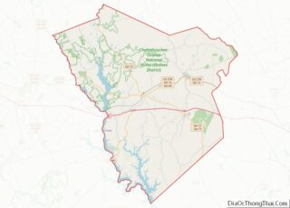
- Greene
- Gwinnett
- Habersham
- Hall
- Hancock
- Haralson
- Harris
- Hart
- Heard
- Henry
- Houston
- Irwin
- Jackson
- Jasper
- Jeff Davis
- Jefferson
- Jenkins
- Johnson
- Jones
- Lamar
- Lanier
- Laurens
- Lee
- Liberty
- Lincoln
- Long
- Lowndes
- Lumpkin
- Macon
- Madison
- Marion
- McDuffie
- McIntosh
- Meriwether
- Miller
- Mitchell
- Monroe
- Montgomery
- Morgan
- Murray
- Muscogee
- Newton
- Oconee
- Oglethorpe
- Paulding
- Peach
- Pickens
- Pierce
- Pike
- Polk
- Pulaski
- Putnam
- Quitman
- Rabun
- Randolph
- Richmond
- Rockdale
- Schley
- Screven
- Seminole
- Spalding
- Stephens
- Stewart
- Sumter
- Talbot
- Taliaferro
- Tattnall
- Taylor
- Telfair
- Terrell
- Thomas
- Tift
- Toombs
- Towns
- Treutlen
- Troup
- Turner
- Twiggs
- Union
- Upson
- Walker
- Walton
- Ware
- Warren
- Washington
- Wayne
- Webster
- Wheeler
- White
- Whitfield
- Wilcox
- Wilkes
- Wilkinson
- Worth
- Alabama
- Alaska
- Arizona
- Arkansas
- California
- Colorado
- Connecticut
- Delaware
- District of Columbia
- Florida
- Georgia
- Hawaii
- Idaho
- Illinois
- Indiana
- Iowa
- Kansas
- Kentucky
- Louisiana
- Maine
- Maryland
- Massachusetts
- Michigan
- Minnesota
- Mississippi
- Missouri
- Montana
- Nebraska
- Nevada
- New Hampshire
- New Jersey
- New Mexico
- New York
- North Carolina
- North Dakota
- Ohio
- Oklahoma
- Oregon
- Pennsylvania
- Rhode Island
- South Carolina
- South Dakota
- Tennessee
- Texas
- Utah
- Vermont
- Virginia
- Washington
- West Virginia
- Wisconsin
- Wyoming