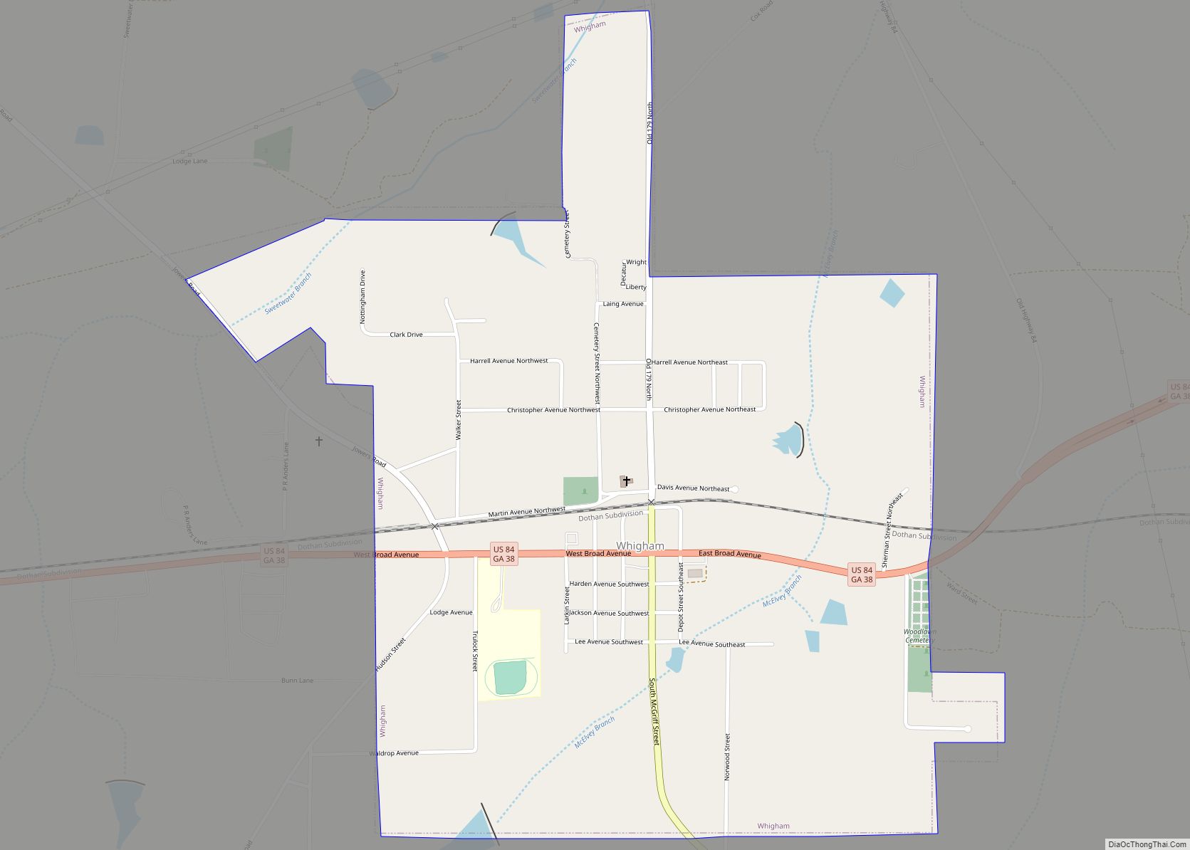
Whigham is a city in Grady County, Georgia, United States. The population was 471 at the 2010 census, down from 631 in 2000. Whigham city overview: Name: Whigham city LSAD Code: 25 LSAD Description: city (suffix) State: Georgia County: Grady County Elevation: 282 ft (86 m) Total Area: 1.19 sq mi (3.07 km²) Land Area: 1.17 sq mi (3.04 km²) Water Area: 0.01 sq mi ... Read more
Georgia Cities and Places
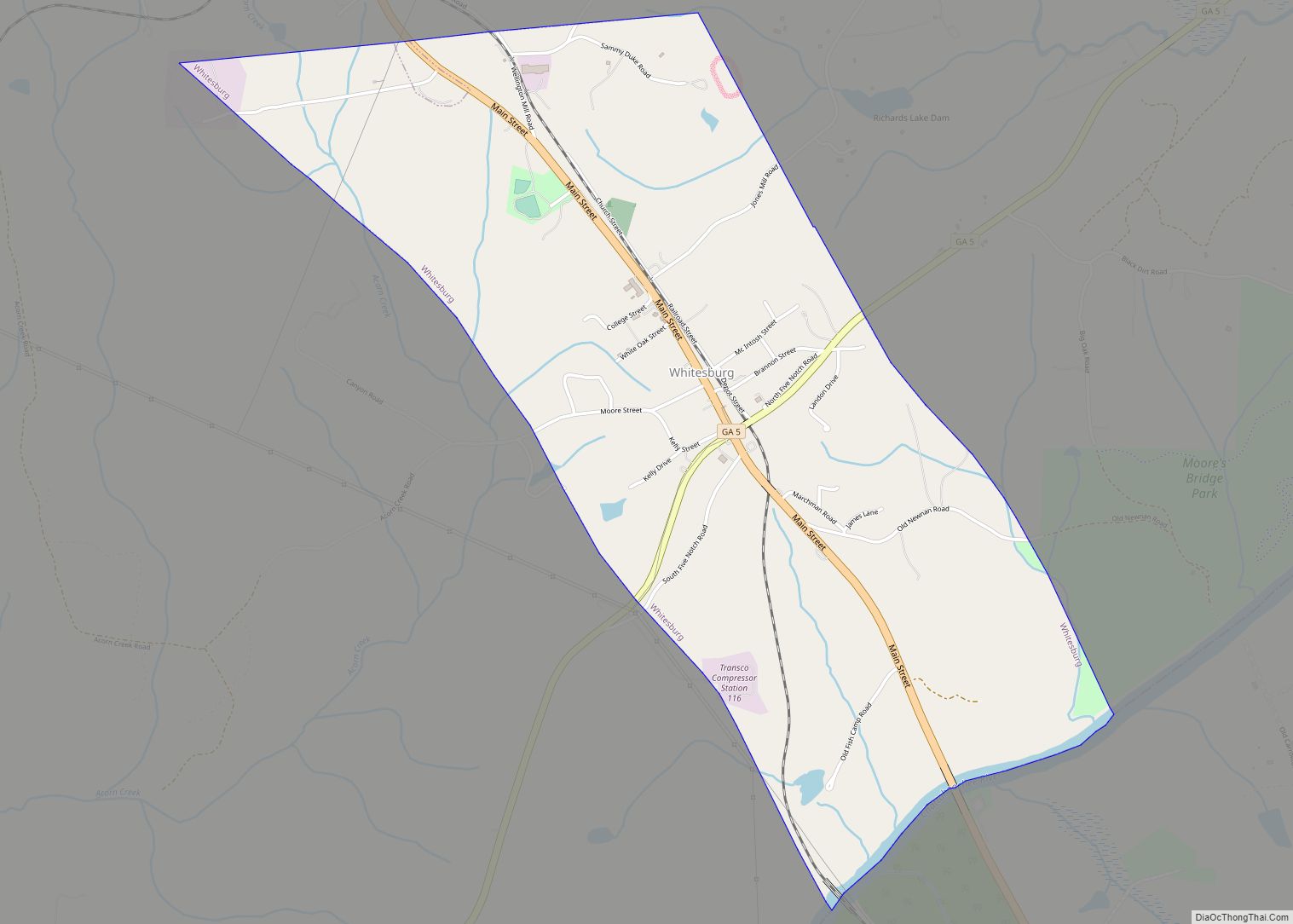
Whitesburg is a town in Carroll County, Georgia, United States. The population was 588 at the 2010 census. The McIntosh Reserve here is the former plantation of Chief William McIntosh, a prominent leader of the Lower Towns of the Creek Confederacy. He was executed at his home in 1825 on order of the National Council ... Read more
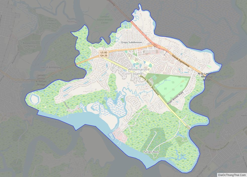
Whitemarsh Island (/ˈhwɪtmɑːrʃ/; WHIT-marsh) is a census-designated place (CDP) in Chatham County, Georgia, United States. The population was 6,983 at the 2020 U.S Census. It is part of the Savannah Metropolitan Statistical Area. The communities of Whitemarsh Island are a relatively affluent suburb of Savannah. Whitemarsh Island CDP overview: Name: Whitemarsh Island CDP LSAD Code: ... Read more
White is a city in Bartow County, Georgia, United States. The population was 661 at the 2020 census. White is located along U.S. Highway 411, 3 miles (5 km) north of Interstate 75. It is a bedroom community of Cartersville which is located 9 miles (14 km) to the south, but they are connected by a chain ... Read more
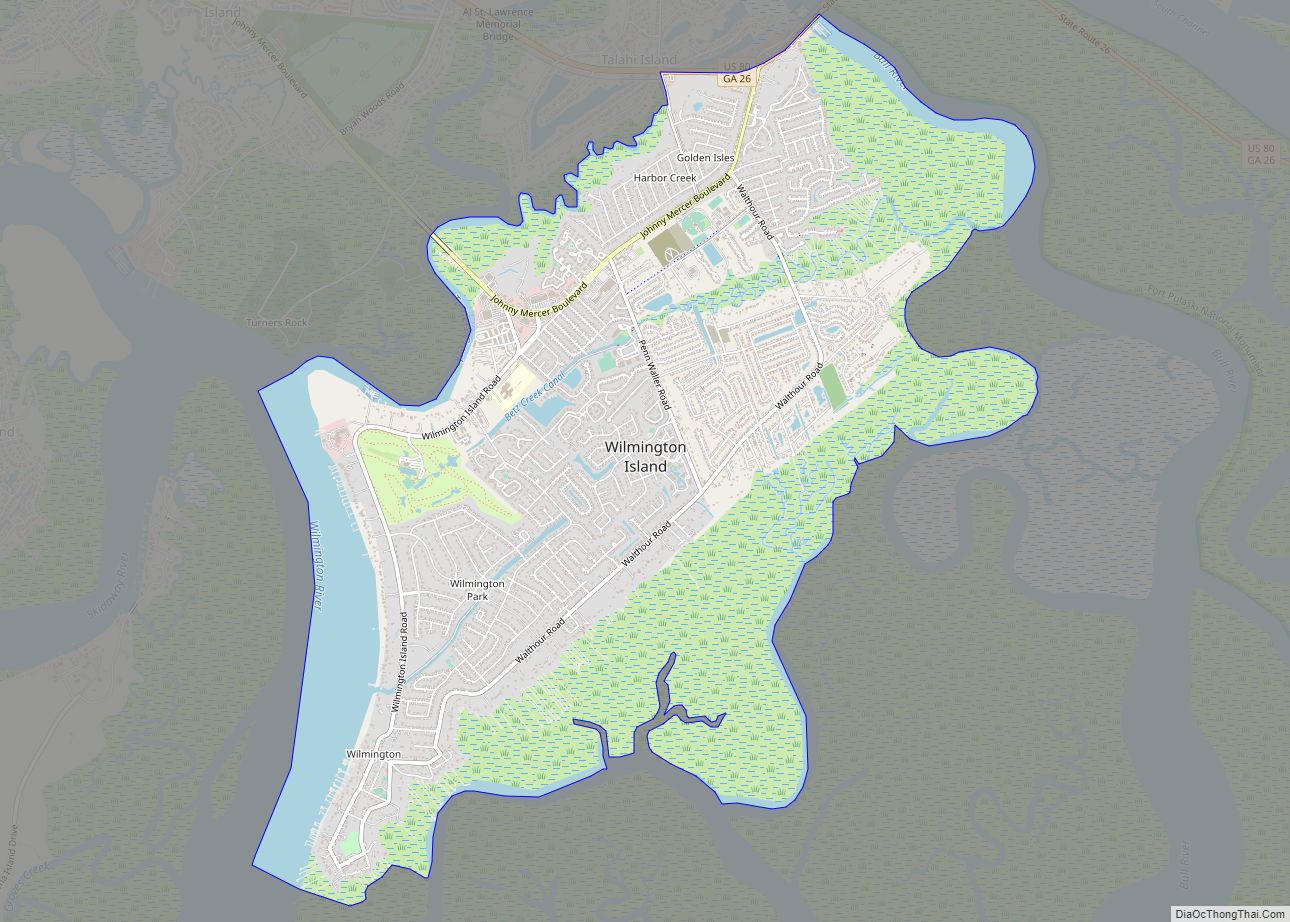
Wilmington Island is a census-designated place (CDP) in Chatham County, Georgia. The population was 15,129 at the time of the 2020 U.S. Census. It is part of the Savannah metropolitan area. The communities of Wilmington Island form a large and affluent suburb of Savannah, where most residents work. The island lies east of Savannah between ... Read more
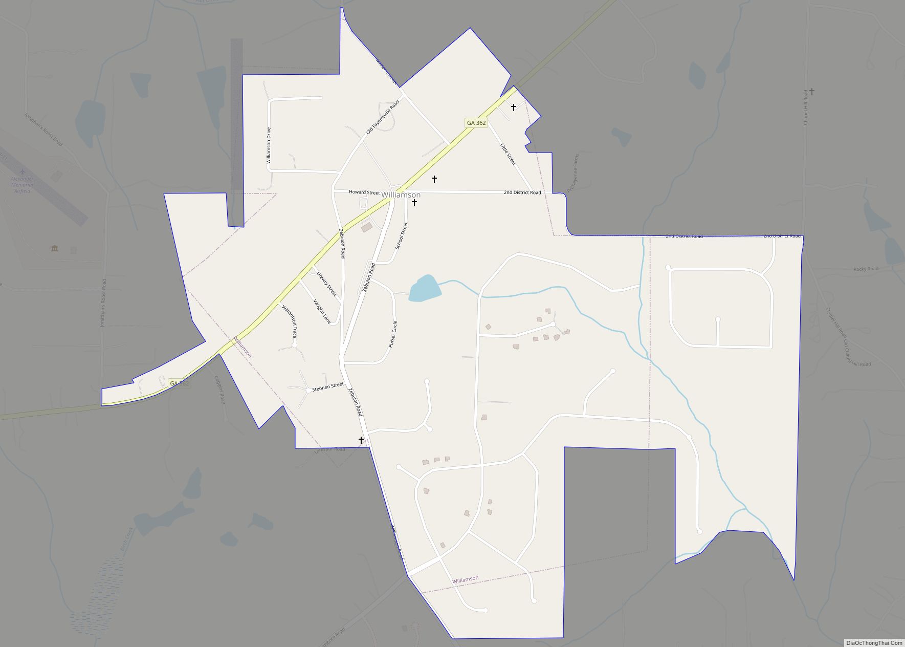
Williamson is a city in Pike County, Georgia, United States. The population was 352 at the 2010 census. Williamson city overview: Name: Williamson city LSAD Code: 25 LSAD Description: city (suffix) State: Georgia County: Pike County Elevation: 922 ft (281 m) Total Area: 1.31 sq mi (3.40 km²) Land Area: 1.31 sq mi (3.39 km²) Water Area: 0.00 sq mi (0.01 km²) Total Population: 681 Population ... Read more
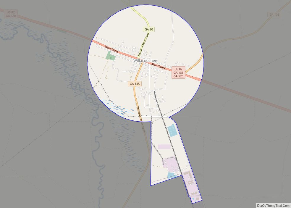
Willacoochee is a city in Atkinson County, Georgia, United States, along the Alapaha River. The population was 1,391 at the 2010 census. Willacoochee city overview: Name: Willacoochee city LSAD Code: 25 LSAD Description: city (suffix) State: Georgia County: Atkinson County Incorporated: November 12, 1889 Elevation: 240 ft (73 m) Total Area: 3.82 sq mi (9.90 km²) Land Area: 3.82 sq mi (9.89 km²) ... Read more
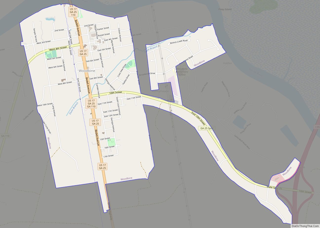
Woodbine is a city in and the county seat of Camden County, Georgia, United States, an original county established when the state constitution was adopted in 1777. The population was 1,412 at the 2010 census. The East Coast Greenway, a 3,000 mile long system of trails connecting Maine to Florida, runs along the Woodbine Riverwalk. ... Read more
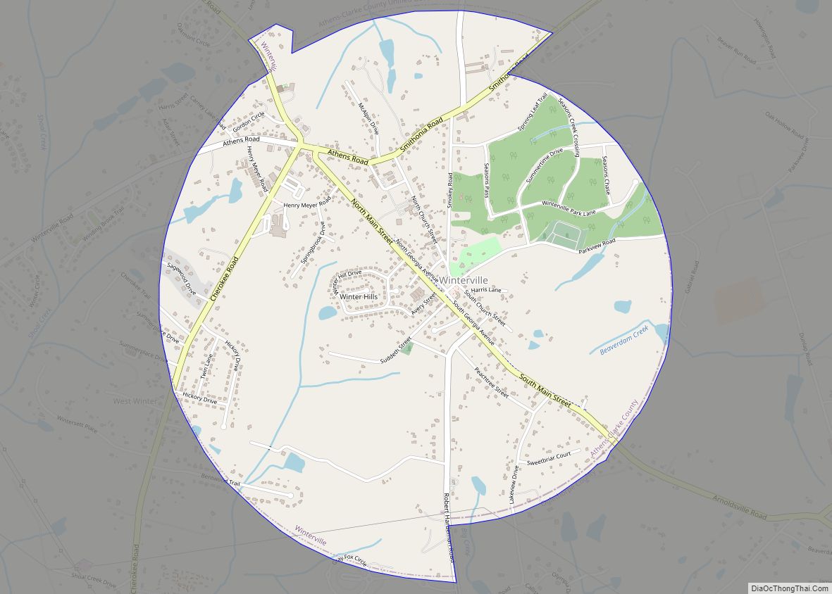
Winterville is a city in Clarke County, Georgia, United States. The population was 1,122 at the 2010 census. Winterville city overview: Name: Winterville city LSAD Code: 25 LSAD Description: city (suffix) State: Georgia County: Clarke County Incorporated: 1904 Elevation: 797 ft (243 m) Total Area: 2.65 sq mi (6.85 km²) Land Area: 2.62 sq mi (6.78 km²) Water Area: 0.03 sq mi (0.07 km²) Total Population: ... Read more
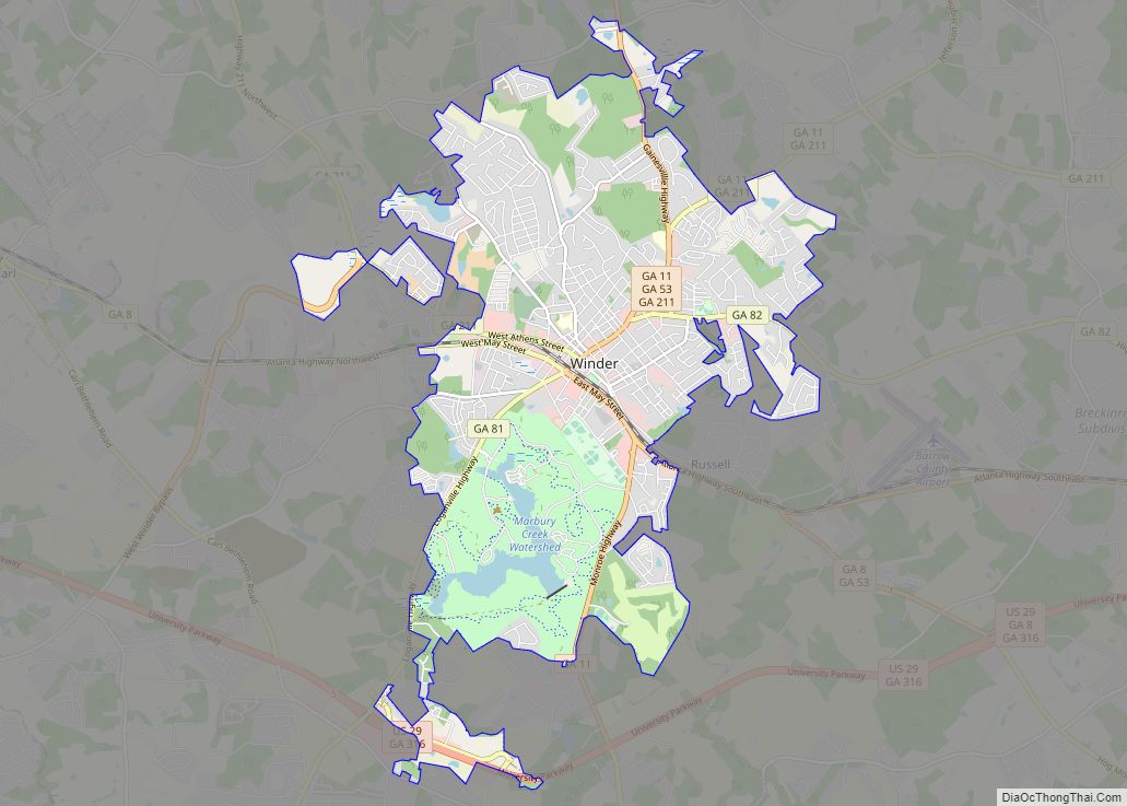
Winder (pronounced WINE-der) is a city and the county seat of Barrow County, Georgia, United States. It is located east of Atlanta and is part of the Atlanta metropolitan area. The population was 18,338 at the 2020 census. Winder city overview: Name: Winder city LSAD Code: 25 LSAD Description: city (suffix) State: Georgia County: Barrow ... Read more
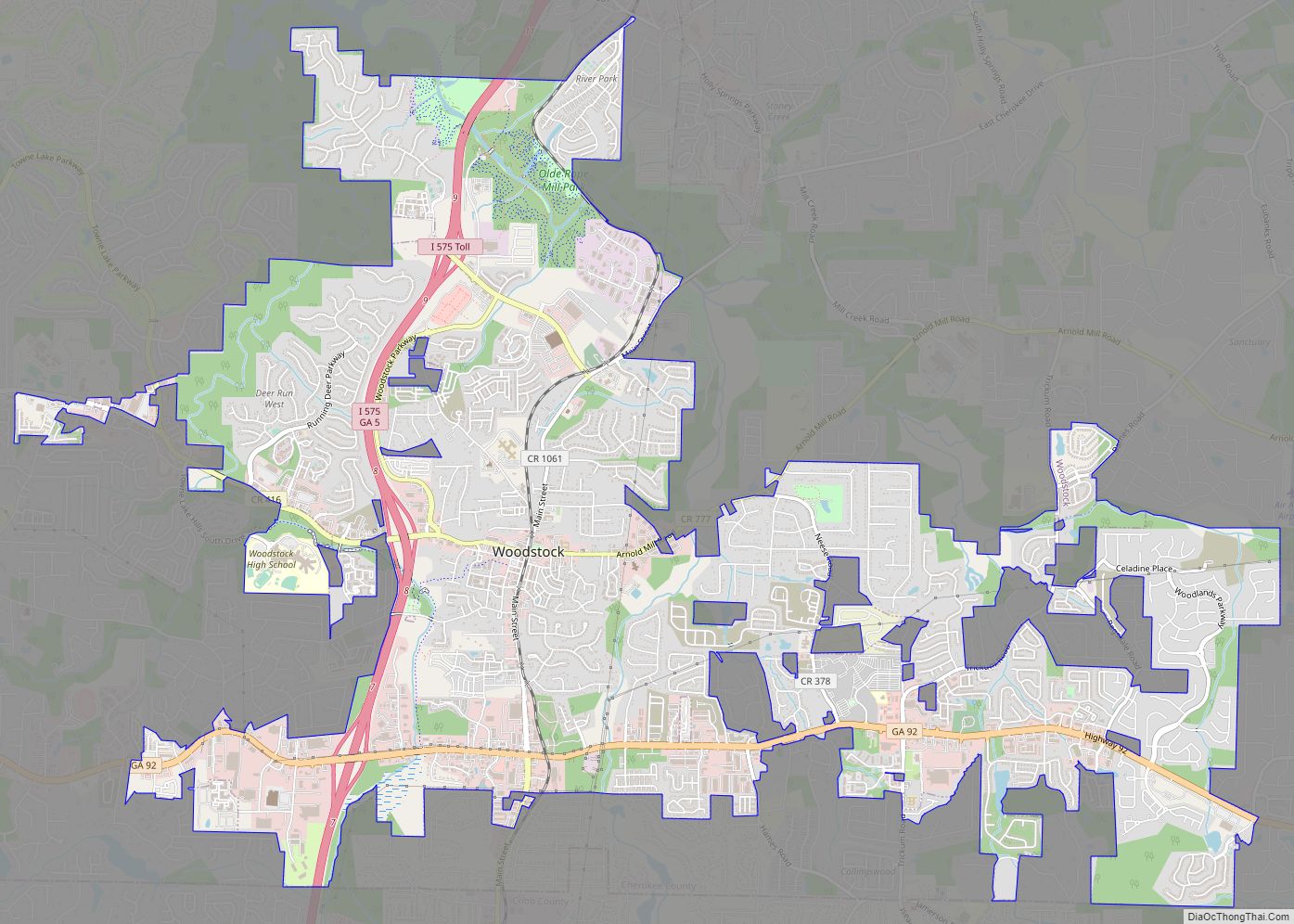
Woodstock is a city in Cherokee County, Georgia, United States. The population was 33,039 as of 2019 according to the US Census Bureau. Originally a stop on the Louisville and Nashville Railroad, Woodstock is part of the Atlanta metropolitan area. The city was the tenth fastest-growing suburb in the United States in 2007. Woodstock city ... Read more
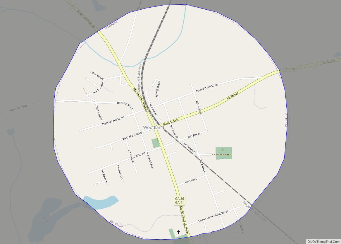
Woodland is a city in Talbot County, Georgia, United States. The population was 408 at the 2010 census. Woodland city overview: Name: Woodland city LSAD Code: 25 LSAD Description: city (suffix) State: Georgia County: Talbot County Elevation: 791 ft (241 m) Total Area: 0.79 sq mi (2.05 km²) Land Area: 0.79 sq mi (2.03 km²) Water Area: 0.01 sq mi (0.01 km²) Total Population: 305 Population ... Read more
