Winder (pronounced WINE-der) is a city and the county seat of Barrow County, Georgia, United States. It is located east of Atlanta and is part of the Atlanta metropolitan area. The population was 18,338 at the 2020 census.
| Name: | Winder city |
|---|---|
| LSAD Code: | 25 |
| LSAD Description: | city (suffix) |
| State: | Georgia |
| County: | Barrow County |
| Elevation: | 988 ft (301 m) |
| Total Area: | 14.17 sq mi (36.70 km²) |
| Land Area: | 13.69 sq mi (35.44 km²) |
| Water Area: | 0.48 sq mi (1.26 km²) |
| Total Population: | 18,338 |
| Population Density: | 1,340.01/sq mi (517.36/km²) |
| ZIP code: | 30680 |
| Area code: | 470/678/770 |
| FIPS code: | 1383420 |
| GNISfeature ID: | 0325442 |
| Website: | www.cityofwinder.com |
Online Interactive Map
Click on ![]() to view map in "full screen" mode.
to view map in "full screen" mode.
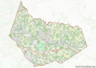
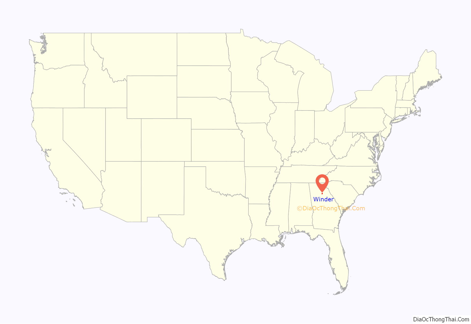
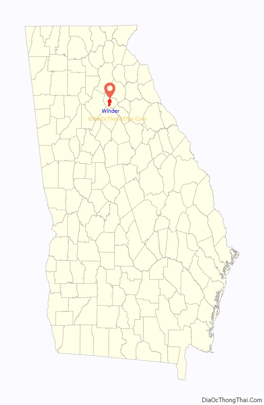
Winder location map. Where is Winder city?
History
The Georgia General Assembly incorporated Winder in 1893. The community was named after John H. Winder, a railroad builder, and not the John H. Winder who served as a General in the Confederate Army. Before Winder was named Winder it was originally named Jug Tavern.
The first hotel of the Jameson Inn chain opened in Winder in 1987.
The first Doctors’ Day observance was March 28, 1933, in Winder. This first observance included the mailing of cards to the physicians and their wives, flowers placed on graves of deceased doctors, including Dr. Long, and a formal dinner in the home of Dr. and Mrs. William T. Randolph. After the Barrow County Alliance adopted Mrs. Almond’s resolution to pay tribute to the doctors, the plan was presented to the Georgia State Medical Alliance in 1933 by Mrs. E. R. Harris of Winder, president of the Barrow County Alliance. On May 10, 1934, the resolution was adopted at the annual state meeting in Augusta, Georgia. The resolution was introduced to the Women’s Alliance of the Southern Medical Association at its 29th annual meeting held in St. Louis, Missouri, November 19–22, 1935, by the Alliance president, Mrs. J. Bonar White. Since then, Doctors’ Day has become an integral part of and synonymous with, the Southern Medical Association Alliance.
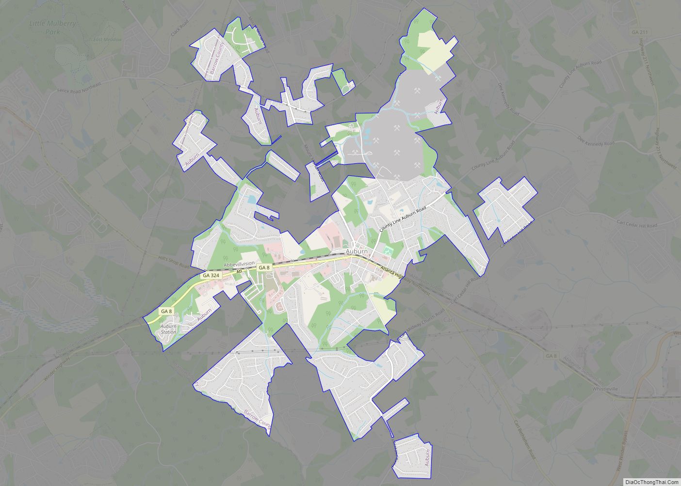
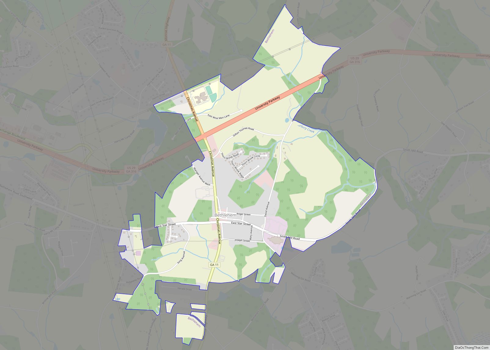
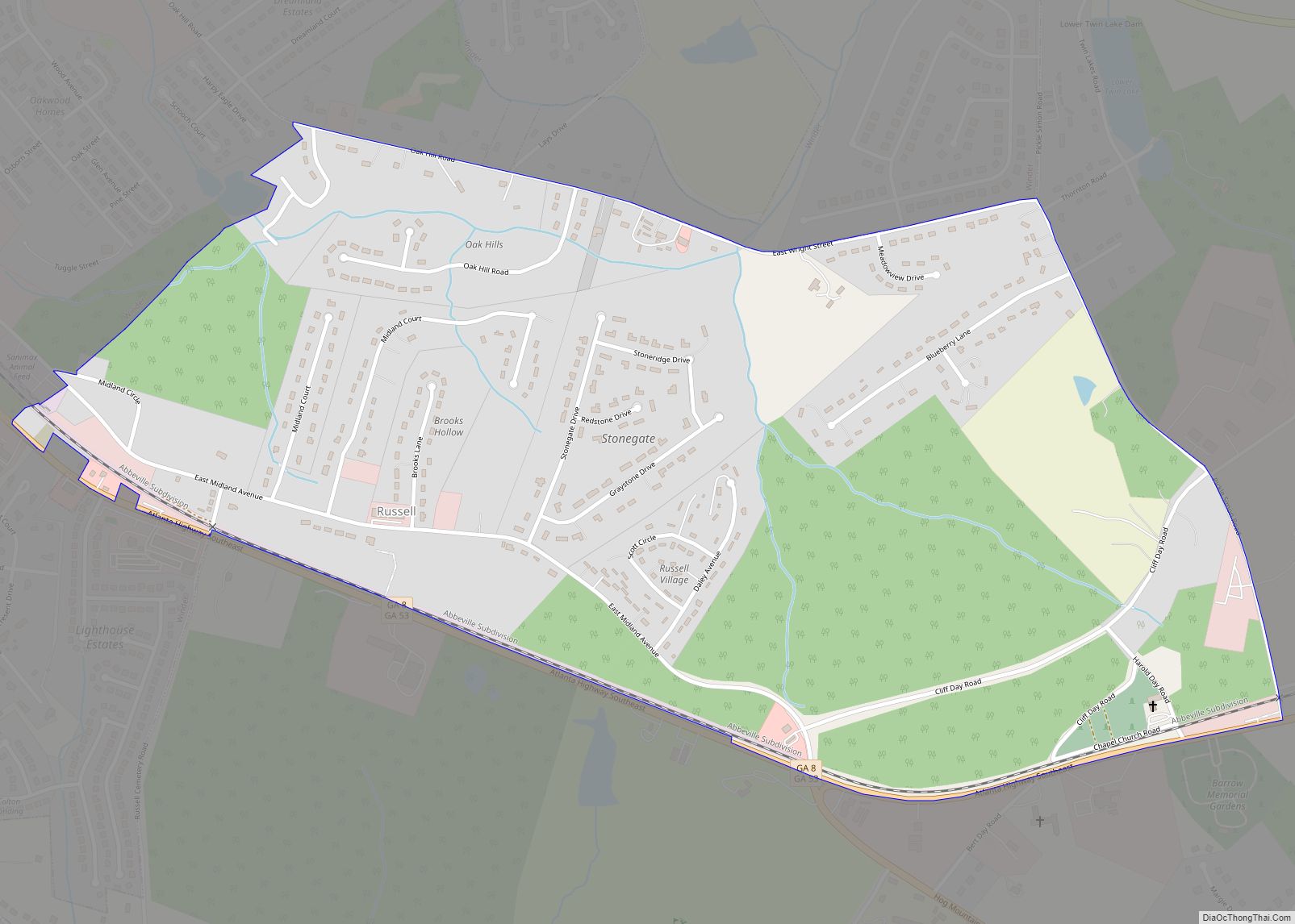
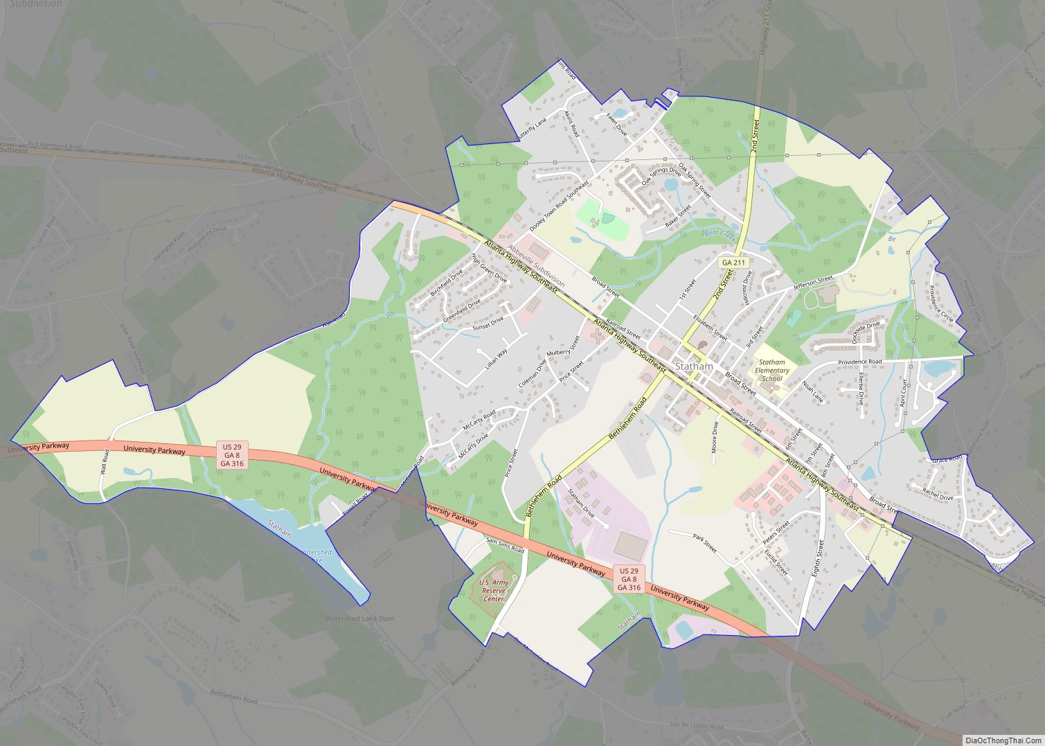
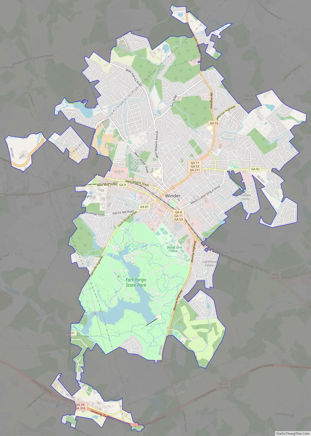
Winder Road Map
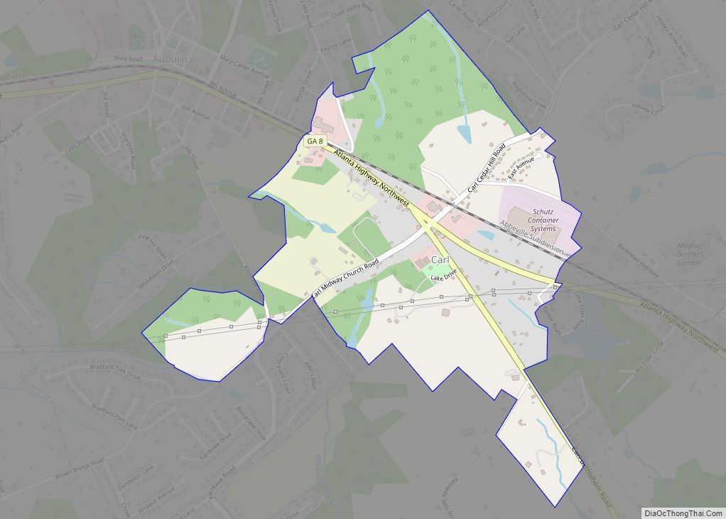
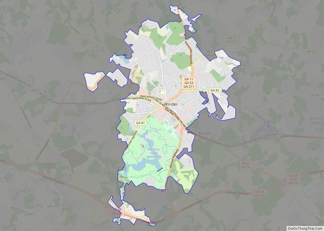
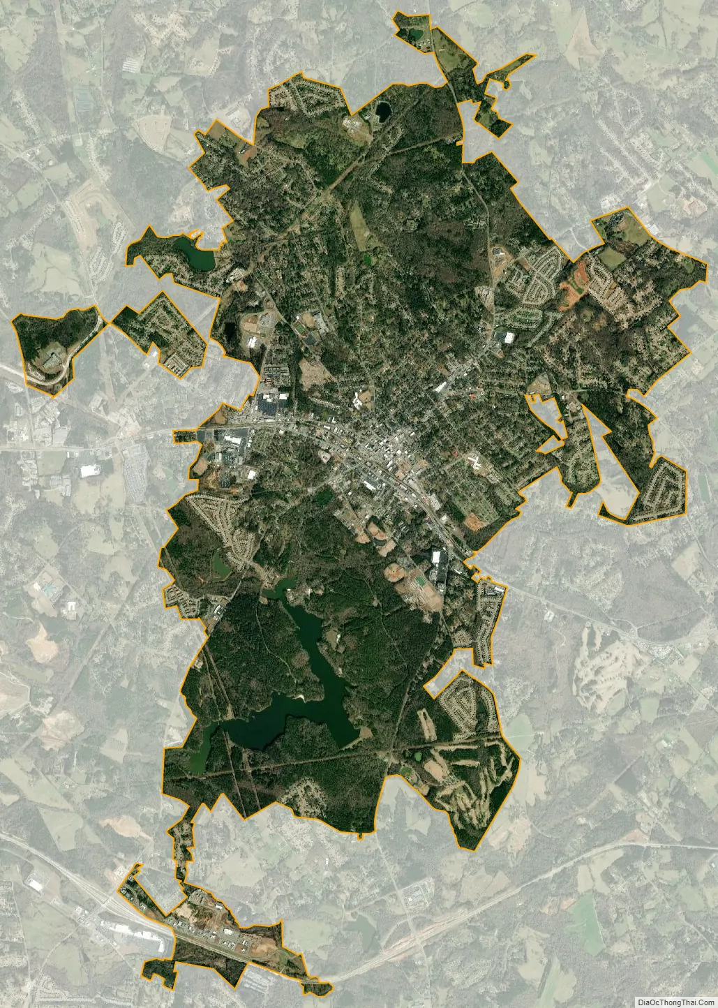
Winder city Satellite Map
Geography
Winder is located in central Barrow County at 33°59′47″N 83°43′15″W / 33.99639°N 83.72083°W / 33.99639; -83.72083 (33.996495, -83.720873). It is 20 miles (32 km) west of Athens and 50 miles (80 km) northeast of downtown Atlanta.
According to the United States Census Bureau, the city has a total area of 12.9 square miles (33.5 km), of which 12.4 square miles (32.2 km) is land and 0.50 square miles (1.3 km), or 3.97%, is water.
See also
Map of Georgia State and its subdivision:- Appling
- Atkinson
- Bacon
- Baker
- Baldwin
- Banks
- Barrow
- Bartow
- Ben Hill
- Berrien
- Bibb
- Bleckley
- Brantley
- Brooks
- Bryan
- Bulloch
- Burke
- Butts
- Calhoun
- Camden
- Candler
- Carroll
- Catoosa
- Charlton
- Chatham
- Chattahoochee
- Chattooga
- Cherokee
- Clarke
- Clay
- Clayton
- Clinch
- Cobb
- Coffee
- Colquitt
- Columbia
- Cook
- Coweta
- Crawford
- Crisp
- Dade
- Dawson
- Decatur
- DeKalb
- Dodge
- Dooly
- Dougherty
- Douglas
- Early
- Echols
- Effingham
- Elbert
- Emanuel
- Evans
- Fannin
- Fayette
- Floyd
- Forsyth
- Franklin
- Fulton
- Gilmer
- Glascock
- Glynn
- Gordon
- Grady
- Greene
- Gwinnett
- Habersham
- Hall
- Hancock
- Haralson
- Harris
- Hart
- Heard
- Henry
- Houston
- Irwin
- Jackson
- Jasper
- Jeff Davis
- Jefferson
- Jenkins
- Johnson
- Jones
- Lamar
- Lanier
- Laurens
- Lee
- Liberty
- Lincoln
- Long
- Lowndes
- Lumpkin
- Macon
- Madison
- Marion
- McDuffie
- McIntosh
- Meriwether
- Miller
- Mitchell
- Monroe
- Montgomery
- Morgan
- Murray
- Muscogee
- Newton
- Oconee
- Oglethorpe
- Paulding
- Peach
- Pickens
- Pierce
- Pike
- Polk
- Pulaski
- Putnam
- Quitman
- Rabun
- Randolph
- Richmond
- Rockdale
- Schley
- Screven
- Seminole
- Spalding
- Stephens
- Stewart
- Sumter
- Talbot
- Taliaferro
- Tattnall
- Taylor
- Telfair
- Terrell
- Thomas
- Tift
- Toombs
- Towns
- Treutlen
- Troup
- Turner
- Twiggs
- Union
- Upson
- Walker
- Walton
- Ware
- Warren
- Washington
- Wayne
- Webster
- Wheeler
- White
- Whitfield
- Wilcox
- Wilkes
- Wilkinson
- Worth
- Alabama
- Alaska
- Arizona
- Arkansas
- California
- Colorado
- Connecticut
- Delaware
- District of Columbia
- Florida
- Georgia
- Hawaii
- Idaho
- Illinois
- Indiana
- Iowa
- Kansas
- Kentucky
- Louisiana
- Maine
- Maryland
- Massachusetts
- Michigan
- Minnesota
- Mississippi
- Missouri
- Montana
- Nebraska
- Nevada
- New Hampshire
- New Jersey
- New Mexico
- New York
- North Carolina
- North Dakota
- Ohio
- Oklahoma
- Oregon
- Pennsylvania
- Rhode Island
- South Carolina
- South Dakota
- Tennessee
- Texas
- Utah
- Vermont
- Virginia
- Washington
- West Virginia
- Wisconsin
- Wyoming