Woodbine is a city in and the county seat of Camden County, Georgia, United States, an original county established when the state constitution was adopted in 1777. The population was 1,412 at the 2010 census.
The East Coast Greenway, a 3,000 mile long system of trails connecting Maine to Florida, runs along the Woodbine Riverwalk. Spaceport Camden is being developed adjacent to the city.
| Name: | Woodbine city |
|---|---|
| LSAD Code: | 25 |
| LSAD Description: | city (suffix) |
| State: | Georgia |
| County: | Camden County |
| Elevation: | 13 ft (4 m) |
| Total Area: | 2.61 sq mi (6.76 km²) |
| Land Area: | 2.54 sq mi (6.59 km²) |
| Water Area: | 0.07 sq mi (0.17 km²) |
| Total Population: | 1,062 |
| Population Density: | 417.45/sq mi (161.20/km²) |
| ZIP code: | 31569 |
| Area code: | 912 |
| FIPS code: | 1383868 |
| GNISfeature ID: | 0325526 |
| Website: | woodbinegeorgia.net |
Online Interactive Map
Click on ![]() to view map in "full screen" mode.
to view map in "full screen" mode.
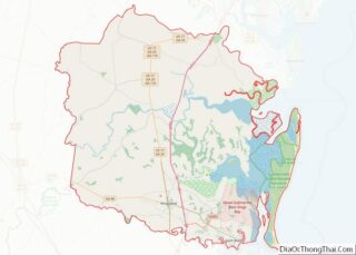
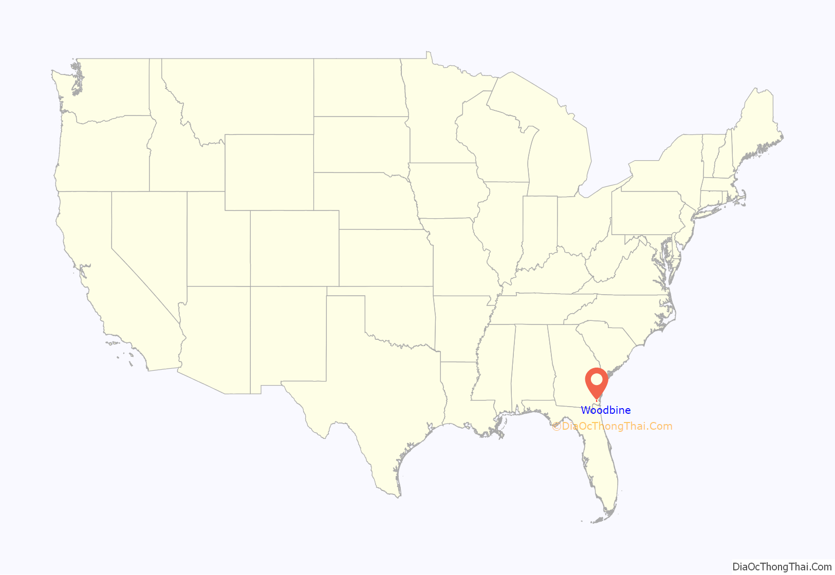
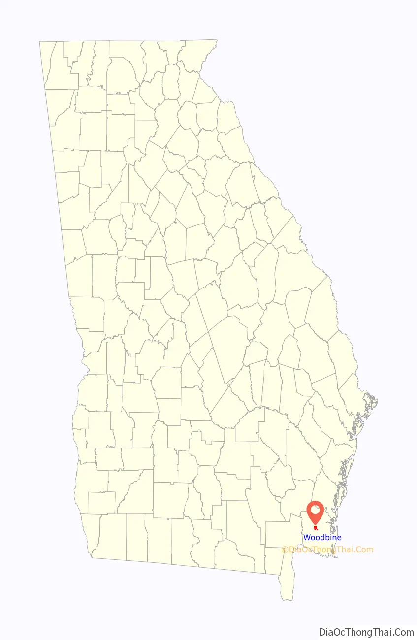
Woodbine location map. Where is Woodbine city?
History
Records in 1765 show that John Brown, John McGillvary, William Molyneaux and William Trowin petitioned English authorities for 1,400 acres (570 ha) south of the Satilla River. They were granted the land named Pile’s Bluff, which historians believe to be near Woodbine.
A tract of land was granted to Anton Cunning by the state in 1808. It became known as the Woodbine Plantation. Luke John Bailey purchased it in 1835 and held it through the Civil War, during which the house was burned by Union troops. James King Bedell acquired the property, constructed a new house, and restored the plantation. The railroad entered Camden County in 1893, and Bedell sold a right-of-way across his land, but required that the first rail community be named “Woodbine”.
Woodbine was incorporated as a town on August 13, 1908, and the word is the common English name for the honeysuckle, Lonicera. The town grew more after the Atlantic Coastal Highway was constructed during 1927 and the county seat relocated there the following year. Woodbine re-incorporated as a city in 1953.
On the morning of February 3, 1971 the Thiokol Chemical Corporation, a factory that made flares for soldiers fighting in Vietnam, exploded. Twenty-eight employees of the factory, predominantly Black women, were killed after a flame in a small building, according to court records, triggered a massive explosion. The blast blew pieces of the building almost a mile away, left more than 50 other people injured.
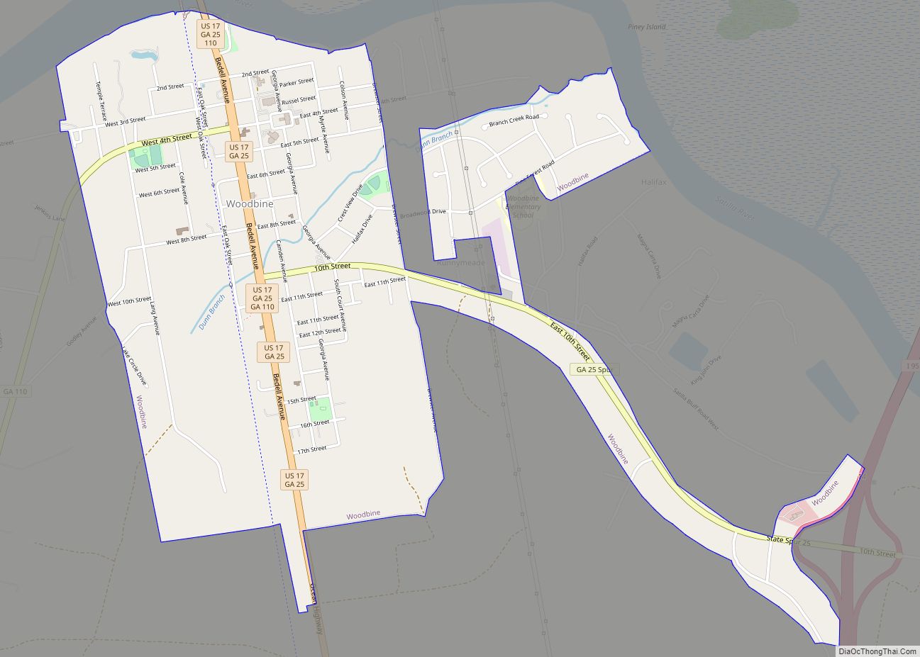
Woodbine Road Map
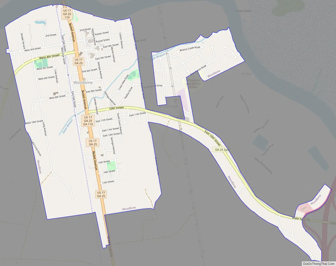
Woodbine city Satellite Map
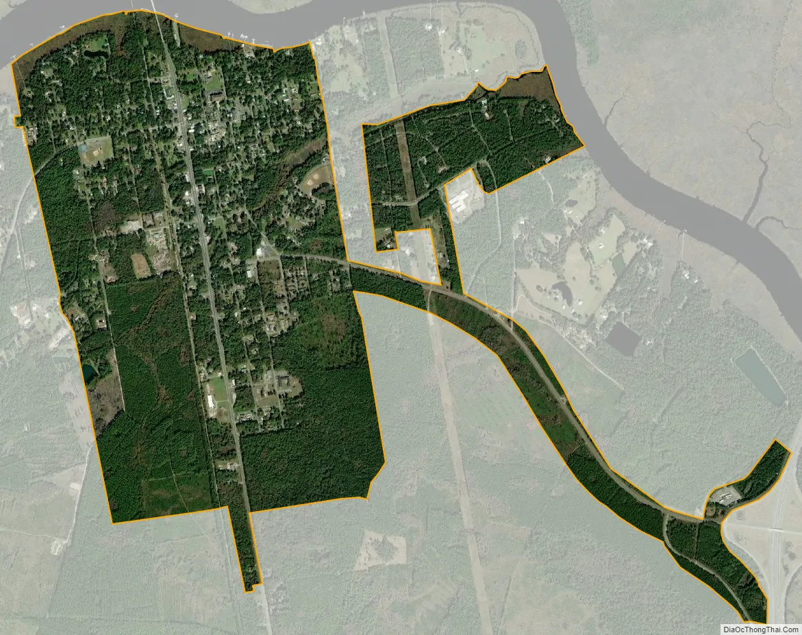
Geography
The city is situated near the center of the county, which is located in the southeast corner of the state near the Florida border. It is located on the south bank of the Satilla River near the head of its tidal extent. U.S. Route 17 (Ocean Highway) passes through the center of the city, leading northeast 29 miles (47 km) to Brunswick and south 11 miles (18 km) to Kingsland. The city has extended its borders 2 miles (3 km) east along 10th Street to reach Interstate 95 at its Exit 14.
Woodbine is located at 30°57′43″N 81°43′12″W / 30.96194°N 81.72000°W / 30.96194; -81.72000 (30.961869, -81.720017).
According to the United States Census Bureau, the city has a total area of 2.6 square miles (6.7 km), of which 2.5 square miles (6.5 km) is land and 0.08 square miles (0.2 km), or 2.37%, is water.
See also
Map of Georgia State and its subdivision:- Appling
- Atkinson
- Bacon
- Baker
- Baldwin
- Banks
- Barrow
- Bartow
- Ben Hill
- Berrien
- Bibb
- Bleckley
- Brantley
- Brooks
- Bryan
- Bulloch
- Burke
- Butts
- Calhoun
- Camden
- Candler
- Carroll
- Catoosa
- Charlton
- Chatham
- Chattahoochee
- Chattooga
- Cherokee
- Clarke
- Clay
- Clayton
- Clinch
- Cobb
- Coffee
- Colquitt
- Columbia
- Cook
- Coweta
- Crawford
- Crisp
- Dade
- Dawson
- Decatur
- DeKalb
- Dodge
- Dooly
- Dougherty
- Douglas
- Early
- Echols
- Effingham
- Elbert
- Emanuel
- Evans
- Fannin
- Fayette
- Floyd
- Forsyth
- Franklin
- Fulton
- Gilmer
- Glascock
- Glynn
- Gordon
- Grady
- Greene
- Gwinnett
- Habersham
- Hall
- Hancock
- Haralson
- Harris
- Hart
- Heard
- Henry
- Houston
- Irwin
- Jackson
- Jasper
- Jeff Davis
- Jefferson
- Jenkins
- Johnson
- Jones
- Lamar
- Lanier
- Laurens
- Lee
- Liberty
- Lincoln
- Long
- Lowndes
- Lumpkin
- Macon
- Madison
- Marion
- McDuffie
- McIntosh
- Meriwether
- Miller
- Mitchell
- Monroe
- Montgomery
- Morgan
- Murray
- Muscogee
- Newton
- Oconee
- Oglethorpe
- Paulding
- Peach
- Pickens
- Pierce
- Pike
- Polk
- Pulaski
- Putnam
- Quitman
- Rabun
- Randolph
- Richmond
- Rockdale
- Schley
- Screven
- Seminole
- Spalding
- Stephens
- Stewart
- Sumter
- Talbot
- Taliaferro
- Tattnall
- Taylor
- Telfair
- Terrell
- Thomas
- Tift
- Toombs
- Towns
- Treutlen
- Troup
- Turner
- Twiggs
- Union
- Upson
- Walker
- Walton
- Ware
- Warren
- Washington
- Wayne
- Webster
- Wheeler
- White
- Whitfield
- Wilcox
- Wilkes
- Wilkinson
- Worth
- Alabama
- Alaska
- Arizona
- Arkansas
- California
- Colorado
- Connecticut
- Delaware
- District of Columbia
- Florida
- Georgia
- Hawaii
- Idaho
- Illinois
- Indiana
- Iowa
- Kansas
- Kentucky
- Louisiana
- Maine
- Maryland
- Massachusetts
- Michigan
- Minnesota
- Mississippi
- Missouri
- Montana
- Nebraska
- Nevada
- New Hampshire
- New Jersey
- New Mexico
- New York
- North Carolina
- North Dakota
- Ohio
- Oklahoma
- Oregon
- Pennsylvania
- Rhode Island
- South Carolina
- South Dakota
- Tennessee
- Texas
- Utah
- Vermont
- Virginia
- Washington
- West Virginia
- Wisconsin
- Wyoming