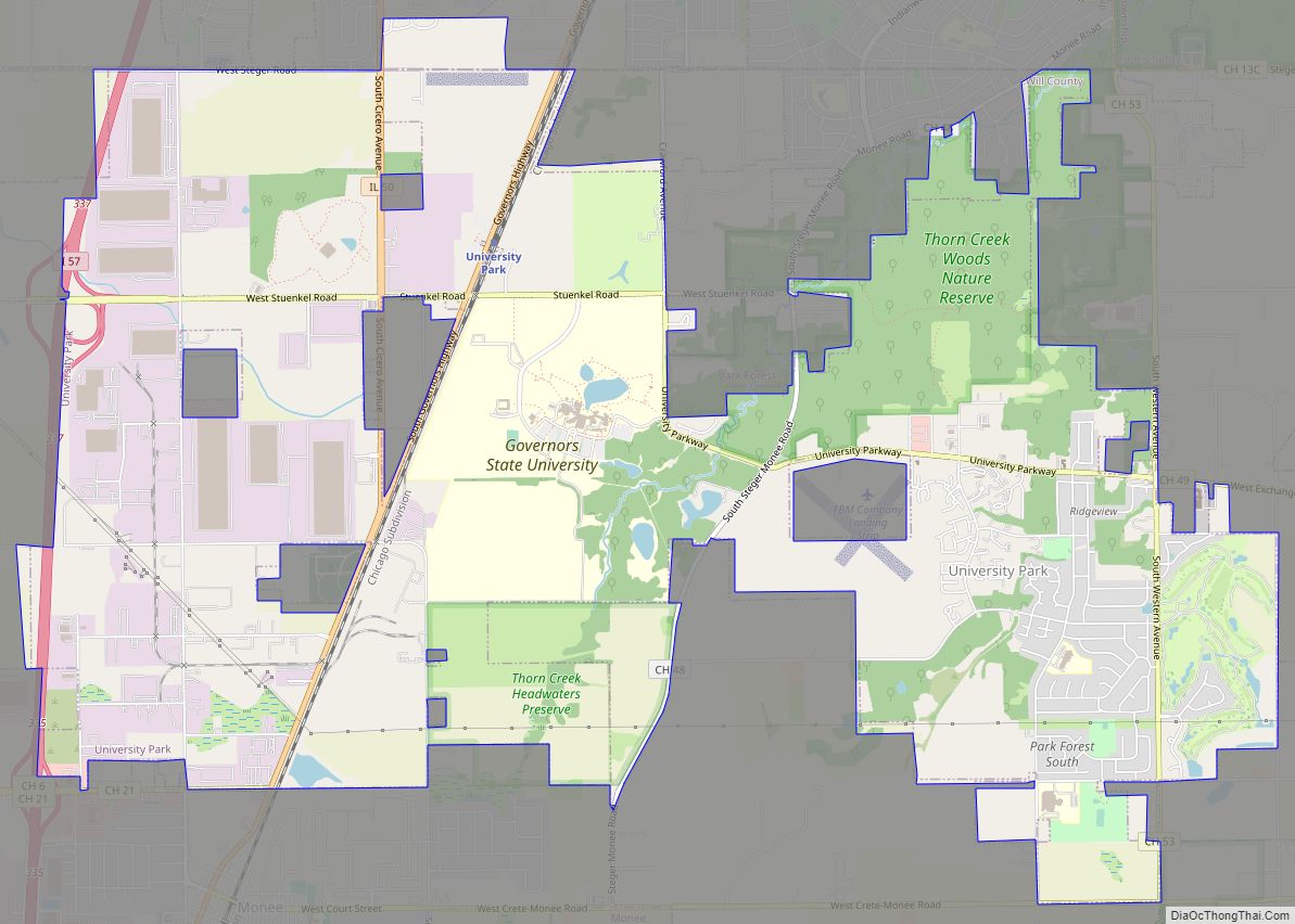
University Park is a village in Will County with a small portion in Cook County in the U.S. state of Illinois. It is a south suburb of Chicago. The village is one of the region’s few planned communities; it was developed in the 1960s as Wood Hill, then Park Forest South, and finally University Park. ... Read more
Illinois Cities and Places
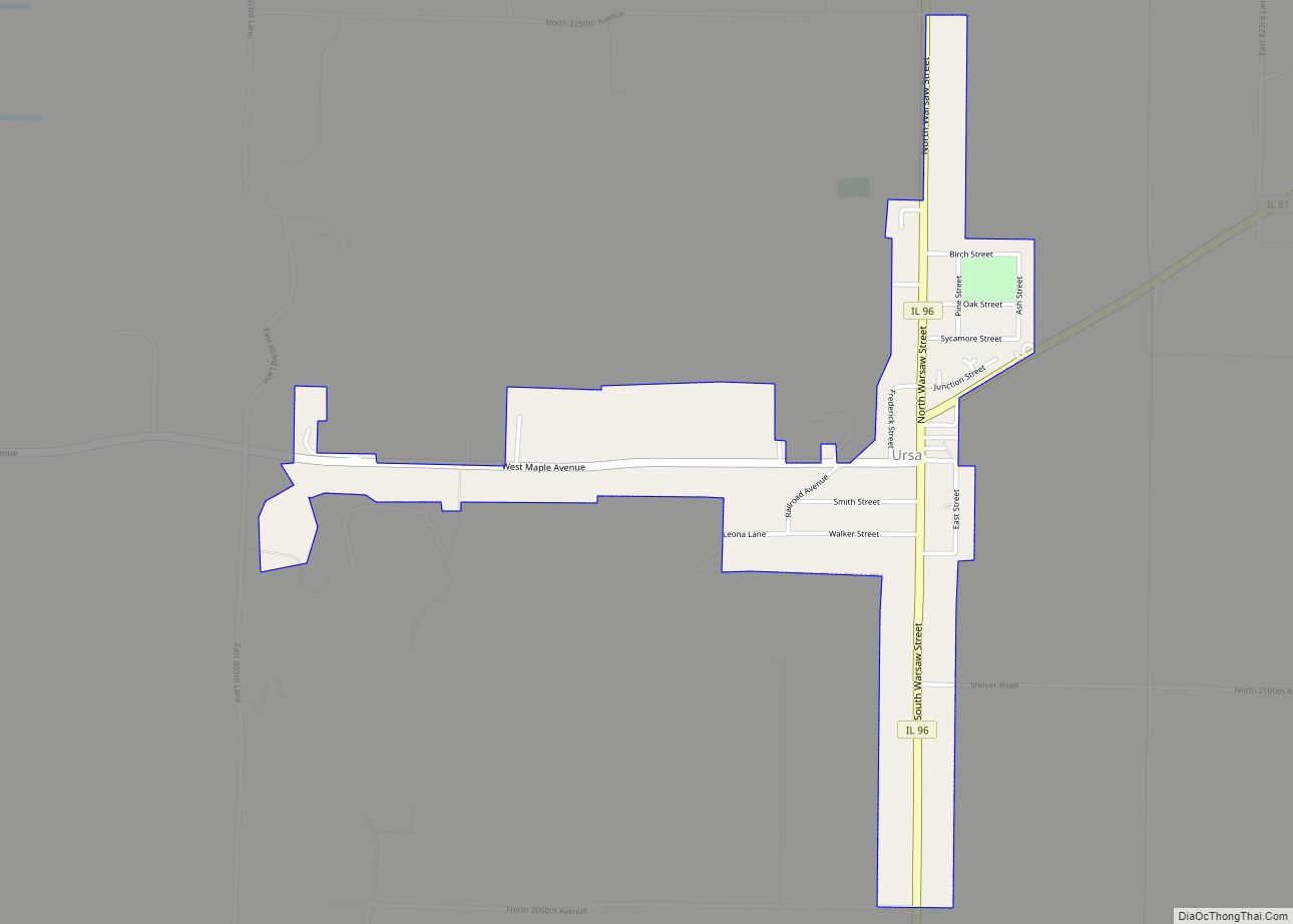
Ursa is a village in Adams County, Illinois, United States. The population was 609 at the 2020 census. It is part of the Quincy, IL–MO Micropolitan Statistical Area. Ursa village overview: Name: Ursa village LSAD Code: 47 LSAD Description: village (suffix) State: Illinois County: Adams County Elevation: 587 ft (179 m) Total Area: 0.69 sq mi (1.79 km²) Land Area: ... Read more
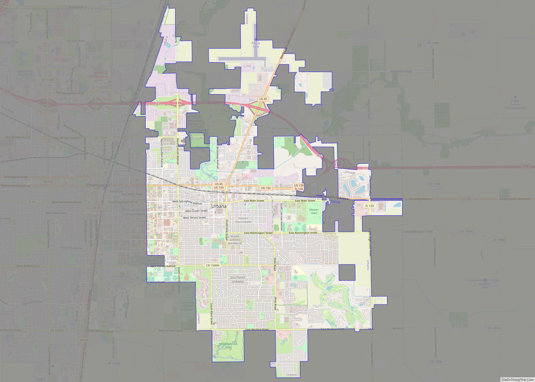
Urbana (/ɜːrˈbænə/ ur-BAN-ə) is a city in and the county seat of Champaign County, Illinois, United States. As of the 2020 census, Urbana had a population of 38,336. As of the 2010 United States Census, Urbana is the 38th-most populous municipality in Illinois. It is included in the Champaign–Urbana metropolitan area. Urbana is notable for ... Read more
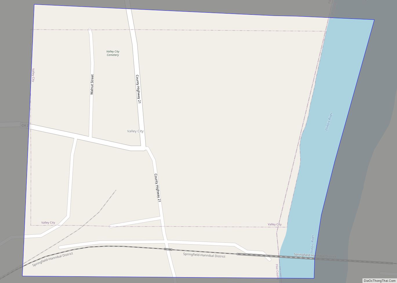
Valley City is a village in Pike County, Illinois, United States. The population was 14 at the 2020 census, making Valley City the smallest incorporated place in Illinois in terms of population. In late December 2015 and early January 2016 the village had flooded, leaving many roads underwater. Valley City village overview: Name: Valley City ... Read more
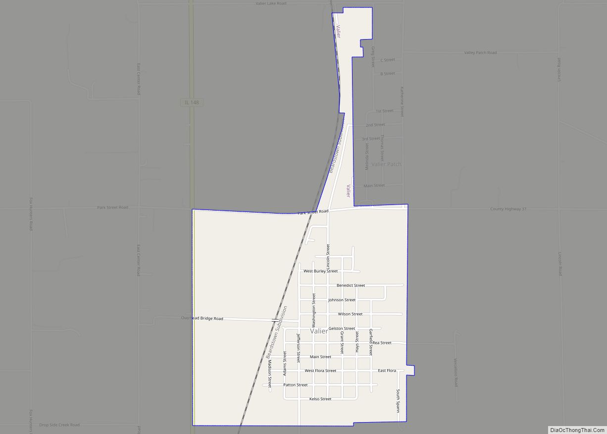
Valier is a village in Franklin County, Illinois, United States. The population was 669 at the 2010 census. Valier village overview: Name: Valier village LSAD Code: 47 LSAD Description: village (suffix) State: Illinois County: Franklin County Elevation: 456 ft (139 m) Total Area: 1.13 sq mi (2.93 km²) Land Area: 1.12 sq mi (2.91 km²) Water Area: 0.01 sq mi (0.02 km²) Total Population: 554 Population ... Read more
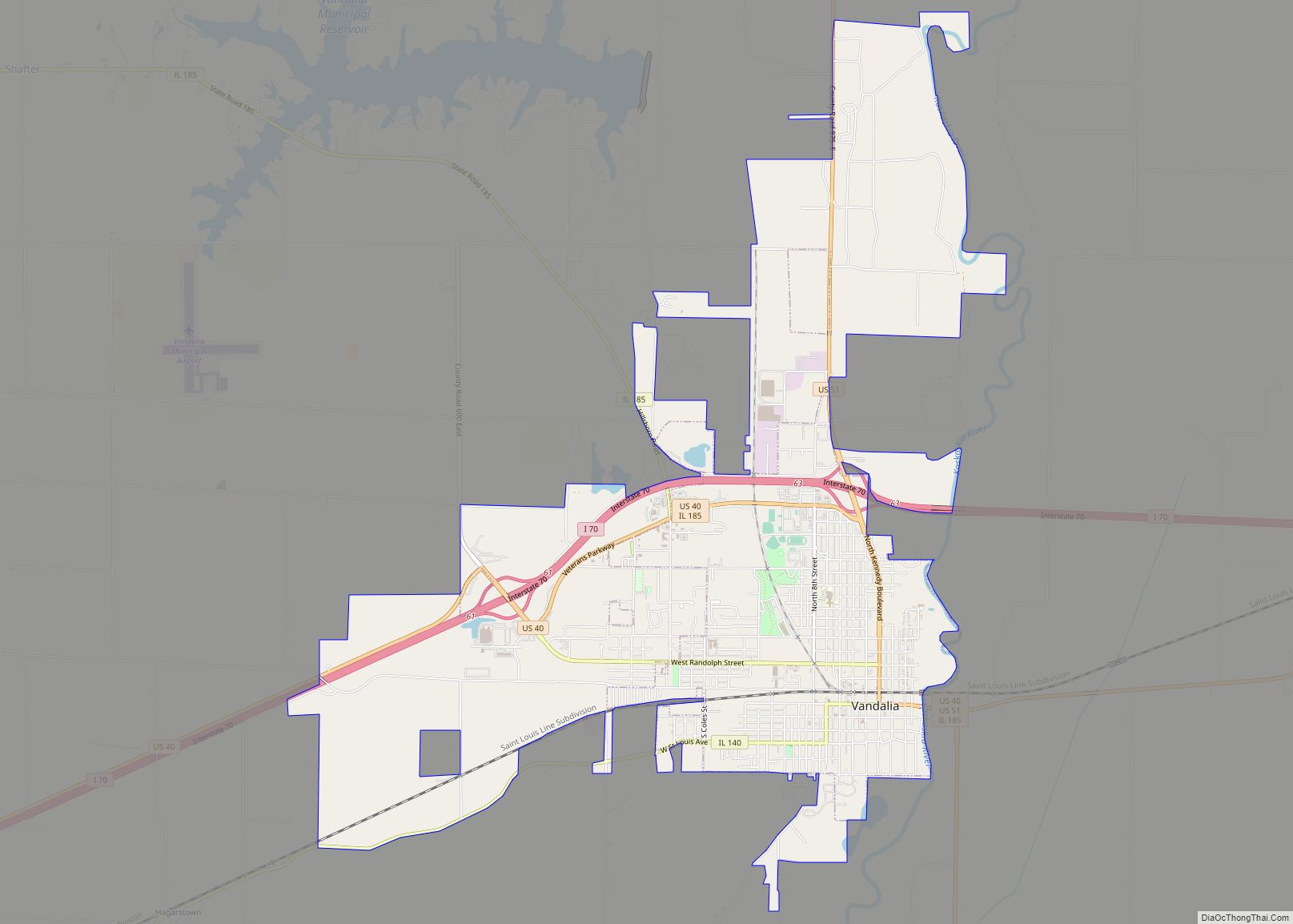
Vandalia is a city in and the county seat of Fayette County, Illinois, United States. At the 2020 Census, the population was 7,458. Vandalia is 69 miles (111 km) northeast of St. Louis, on the Kaskaskia River. It served as the state capital of Illinois from 1819 until 1839, when the seat of state government moved ... Read more
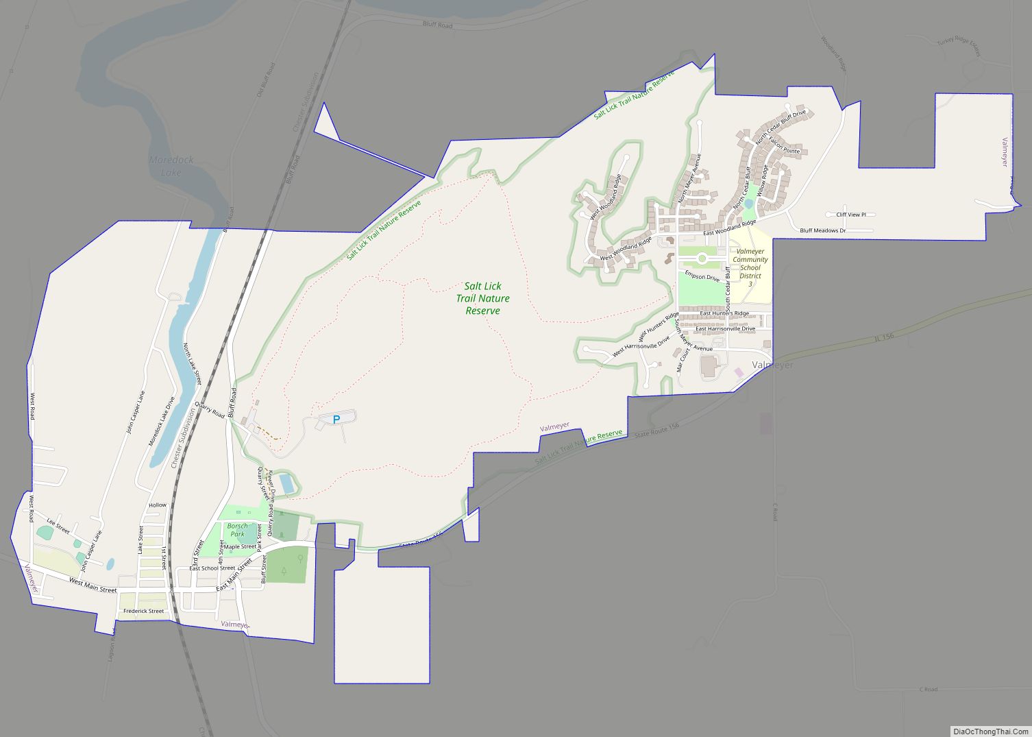
Valmeyer is a village in Monroe County, Illinois, United States. The population was 1,233 at the 2020 census. It was originally located in the American Bottom floodplain of the Mississippi River but now occupies higher land to the east. Valmeyer village overview: Name: Valmeyer village LSAD Code: 47 LSAD Description: village (suffix) State: Illinois County: ... Read more
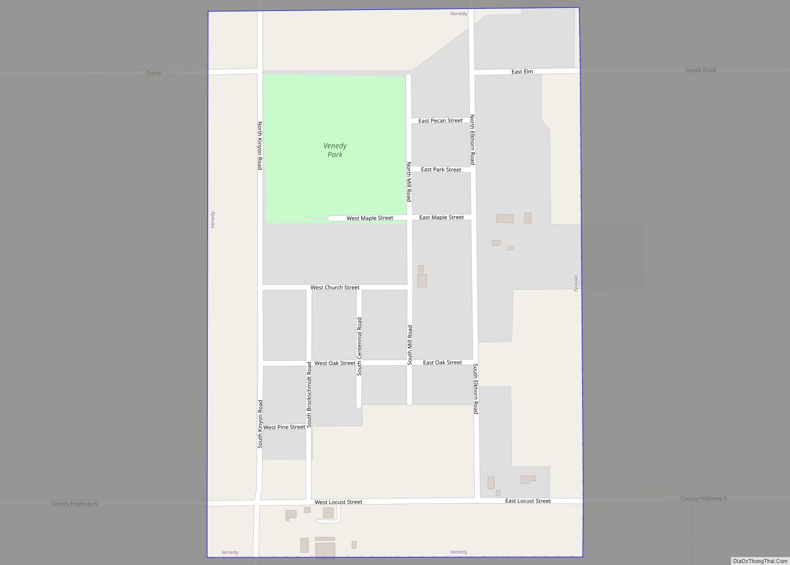
Venedy is a village in Washington County, Illinois, United States. The population was 138 at the 2010 census. Venedy village overview: Name: Venedy village LSAD Code: 47 LSAD Description: village (suffix) State: Illinois County: Washington County Elevation: 453 ft (138 m) Total Area: 0.28 sq mi (0.73 km²) Land Area: 0.28 sq mi (0.73 km²) Water Area: 0.00 sq mi (0.00 km²) Total Population: 121 Population ... Read more
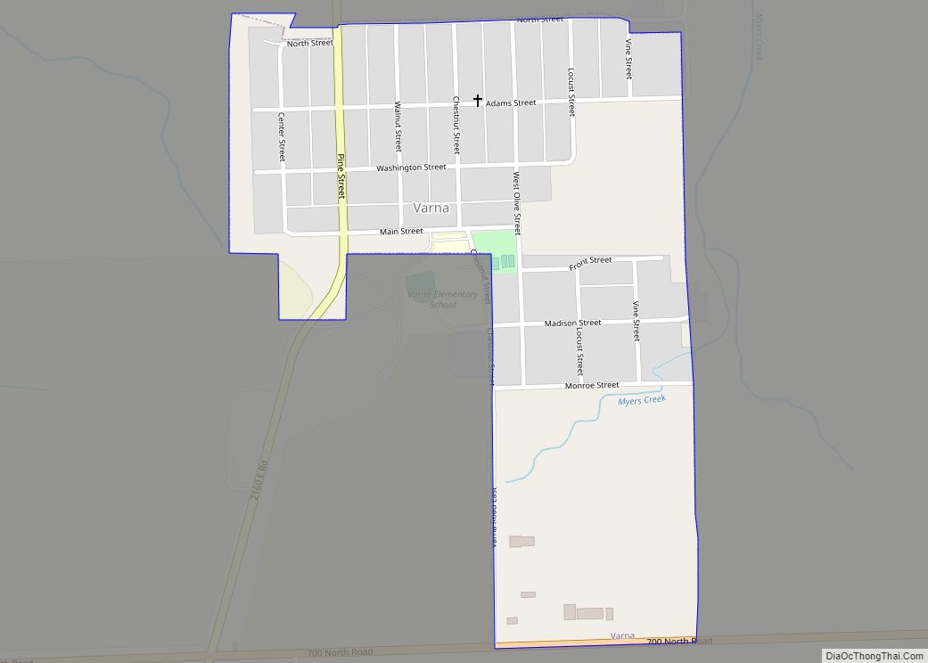
Varna is a village in Marshall County, Illinois, United States. The population was 375 at the 2020 census. It is part of the Peoria Metropolitan Statistical Area. The village was named for Varna, Bulgaria. Varna village overview: Name: Varna village LSAD Code: 47 LSAD Description: village (suffix) State: Illinois County: Marshall County Elevation: 720 ft (220 m) ... Read more
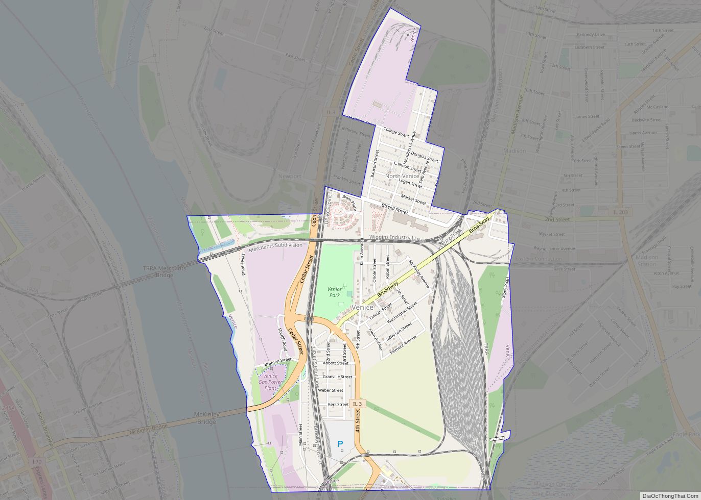
Venice is a city in Madison County, Illinois, United States. The population was 1,498 at the 2020 census, down from 1,890 in 2010. Venice city overview: Name: Venice city LSAD Code: 25 LSAD Description: city (suffix) State: Illinois County: Madison County Elevation: 413 ft (126 m) Total Area: 1.85 sq mi (4.79 km²) Land Area: 1.85 sq mi (4.79 km²) Water Area: 0.00 sq mi ... Read more
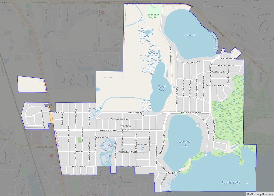
Venetian Village is a census-designated place (CDP) in Lake County, Illinois, United States. Per the 2020 census, the population was 2,761. Venetian Village CDP overview: Name: Venetian Village CDP LSAD Code: 57 LSAD Description: CDP (suffix) State: Illinois County: Lake County Total Area: 2.38 sq mi (6.17 km²) Land Area: 1.77 sq mi (4.59 km²) Water Area: 0.61 sq mi (1.58 km²) Total Population: ... Read more
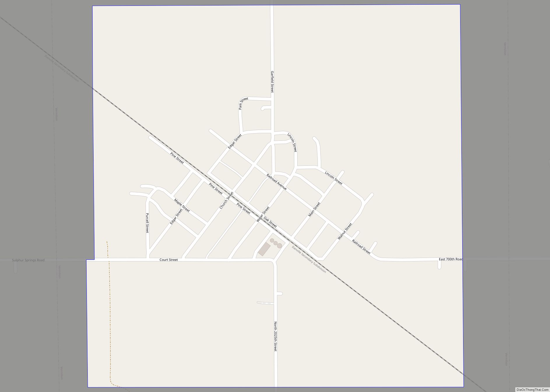
Vermilion is a village in Stratton and Elbridge Township townships, Edgar County, Illinois, United States. The population was 203 at the 2020 census. Vermilion village overview: Name: Vermilion village LSAD Code: 47 LSAD Description: village (suffix) State: Illinois County: Edgar County Elevation: 673 ft (205 m) Total Area: 0.55 sq mi (1.41 km²) Land Area: 0.55 sq mi (1.41 km²) Water Area: 0.00 sq mi ... Read more
