Urbana (/ɜːrˈbænə/ ur-BAN-ə) is a city in and the county seat of Champaign County, Illinois, United States. As of the 2020 census, Urbana had a population of 38,336. As of the 2010 United States Census, Urbana is the 38th-most populous municipality in Illinois. It is included in the Champaign–Urbana metropolitan area.
Urbana is notable for sharing the campus of the University of Illinois Urbana–Champaign with its twin city of Champaign.
| Name: | Urbana city |
|---|---|
| LSAD Code: | 25 |
| LSAD Description: | city (suffix) |
| State: | Illinois |
| County: | Champaign County |
| Founded: | 1833 |
| Elevation: | 732 ft (223 m) |
| Land Area: | 11.83 sq mi (30.64 km²) |
| Water Area: | 0.07 sq mi (0.19 km²) |
| Population Density: | 3,240.57/sq mi (1,251.15/km²) |
| FIPS code: | 1777005 |
| Website: | urbanaillinois.us |
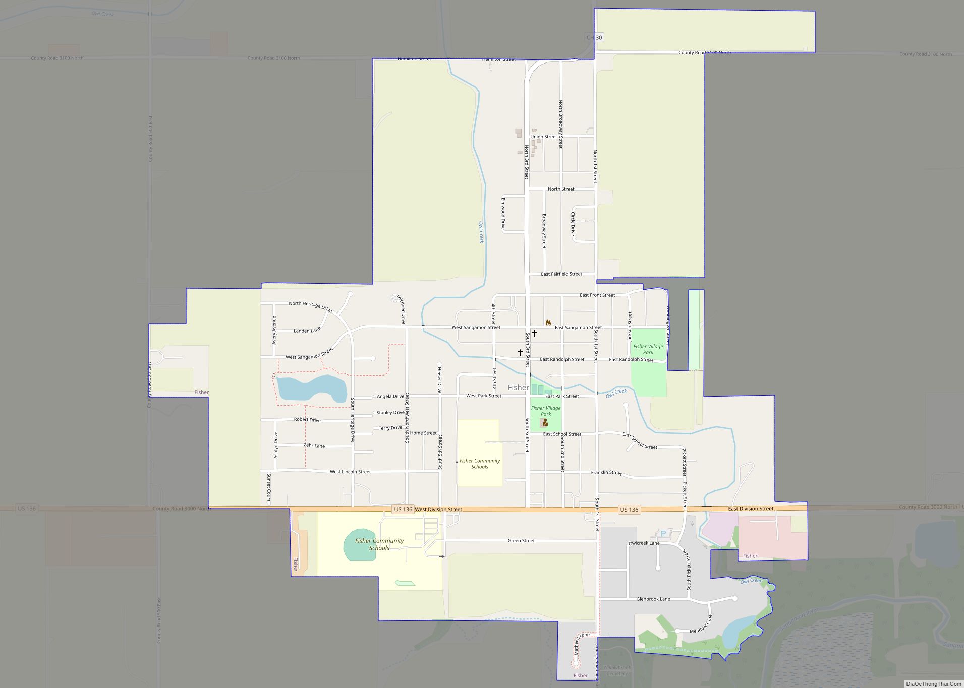
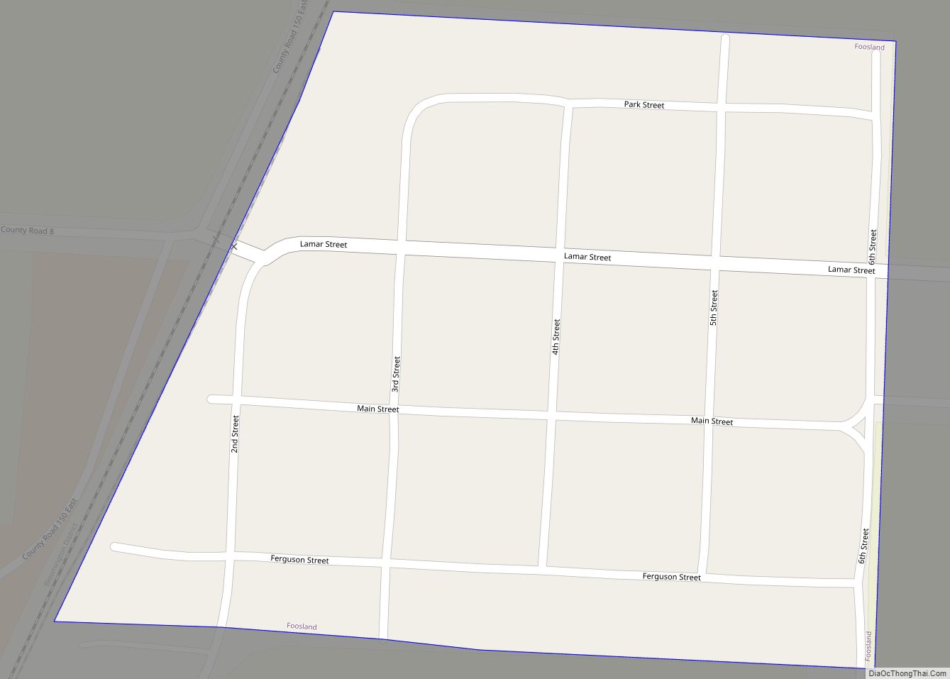
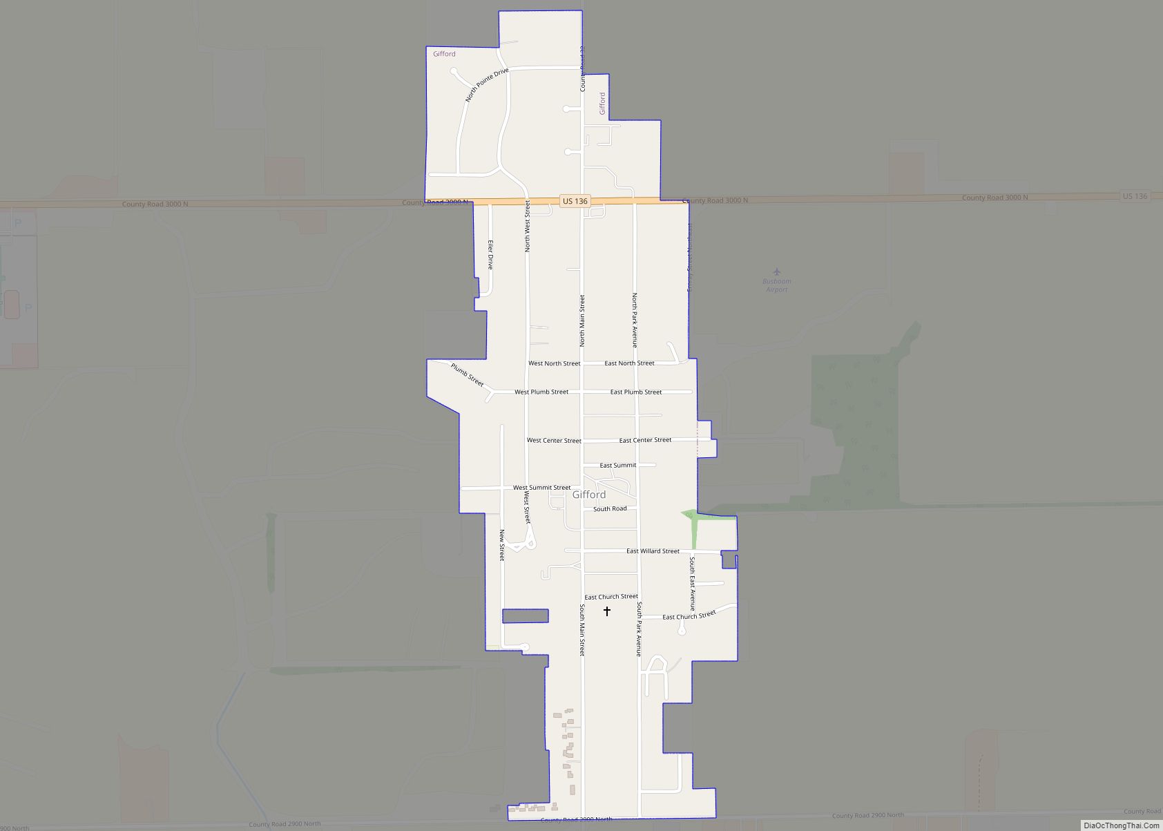
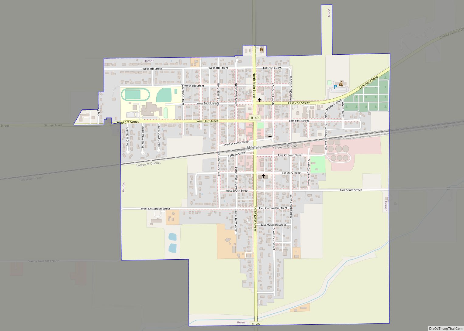
Online Interactive Map
Click on ![]() to view map in "full screen" mode.
to view map in "full screen" mode.
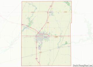
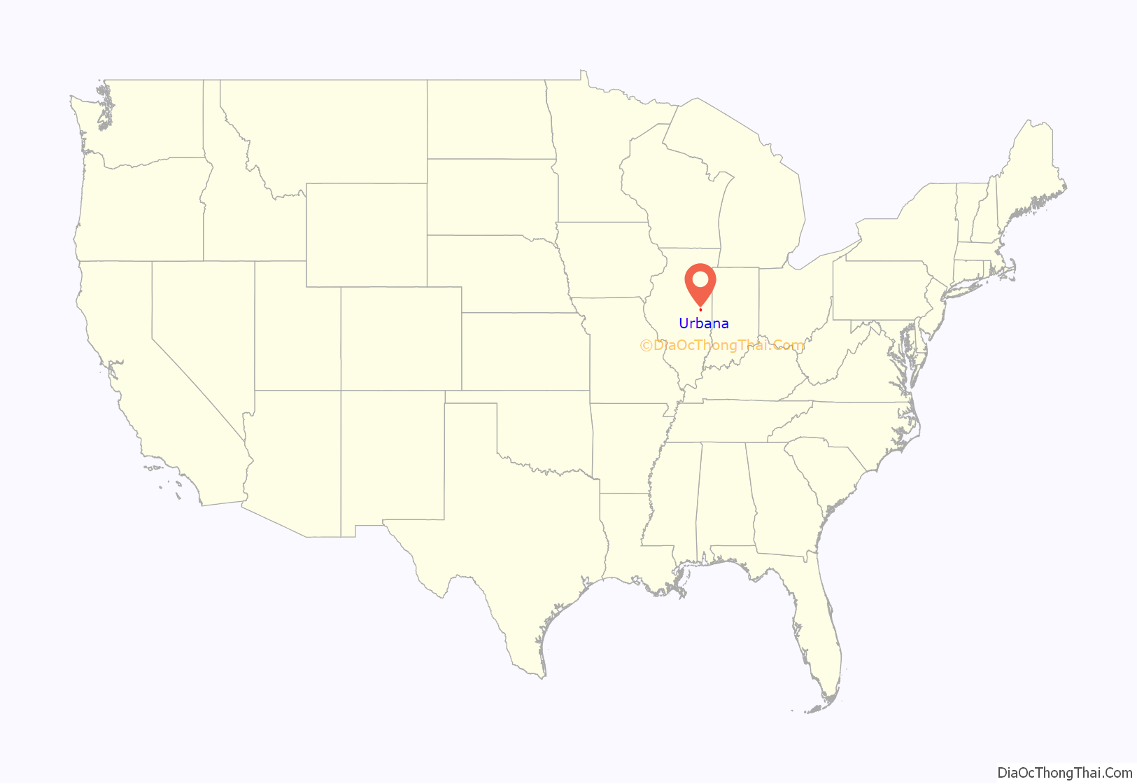
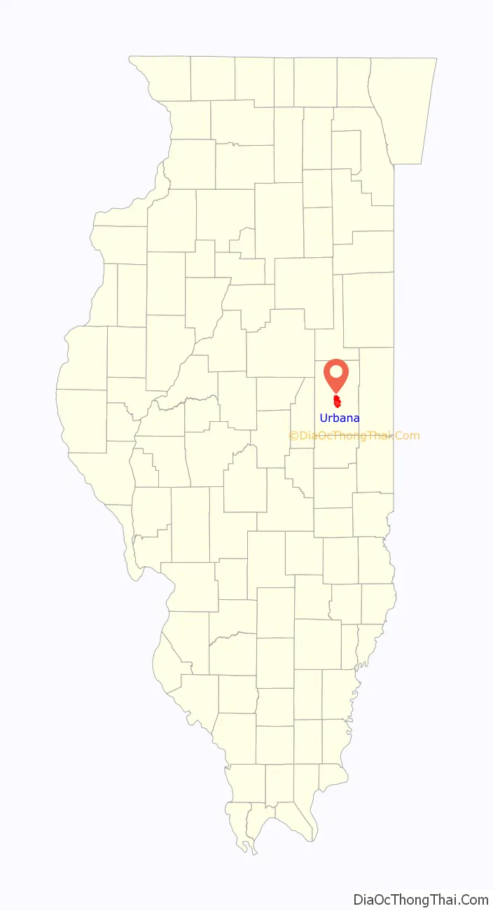
Urbana location map. Where is Urbana city?
History
The Urbana area was first settled by Europeans in 1822, when it was called “Big Grove”. When the county of Champaign was organized in 1833, the county seat was located on 40 acres of land, 20 acres donated by William T. Webber and 20 acres by M. W. Busey, considered to be the city’s founder, and the name “Urbana” was adopted after Urbana, Ohio, the hometown of State Senator John W. Vance, who authored the Enabling Act creating Champaign County. The creation of the new town was celebrated for the first time on July 4, 1833.
Stores began opening in 1834. The first mills were founded in c.1838-50. The town’s first church, the Methodist Episcopal Church, and the parsonage, was built in 1840 by the Rev. A. Bradshaw, with the Baptist Church following in 1855. The Presbyterian Church was founded in 1856. The city’s first school was built in 1854.
Urbana suffered a setback when the Chicago branch of the Illinois Central Railroad, which had been expected to pass through town, was instead laid down two miles west, where the land was flatter. The town of West Urbana grew up around the train depot built there in 1854, and in 1861 its name was changed to Champaign. The competition between the two cities provoked Urbana to tear down the ten-year-old County Courthouse and replace it with a much larger and fancier structure, to ensure that the county seat would remain in Urbana.
Champaign-Urbana was selected as the site for a new state agricultural school, thanks to the efforts of Clark Griggs. Illinois Industrial University, which would evolve into the University of Illinois Urbana-Champaign, opened in 1868 with 77 students.
A number of efforts to merge Urbana and Champaign have failed at the polls.
On October 9, 1871 a fire burned much of downtown Urbana. Children playing with matches started the fire. (It is unrelated to the Great Chicago Fire of the same day, though both fires occurred during severe drought and were spread by high winds.)
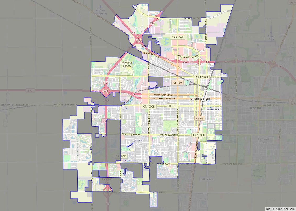
Urbana Road Map
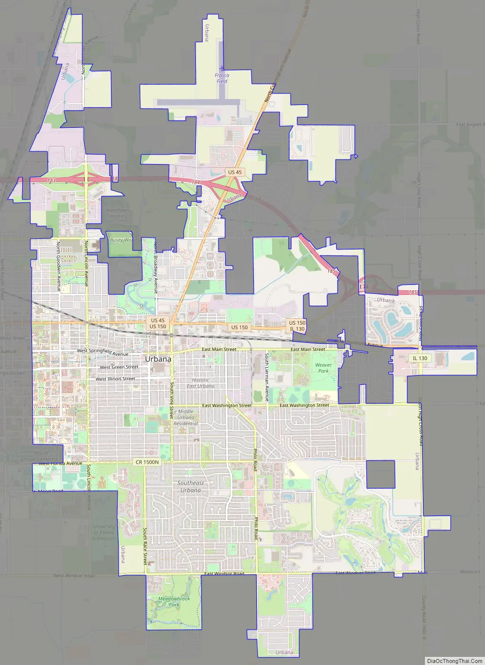
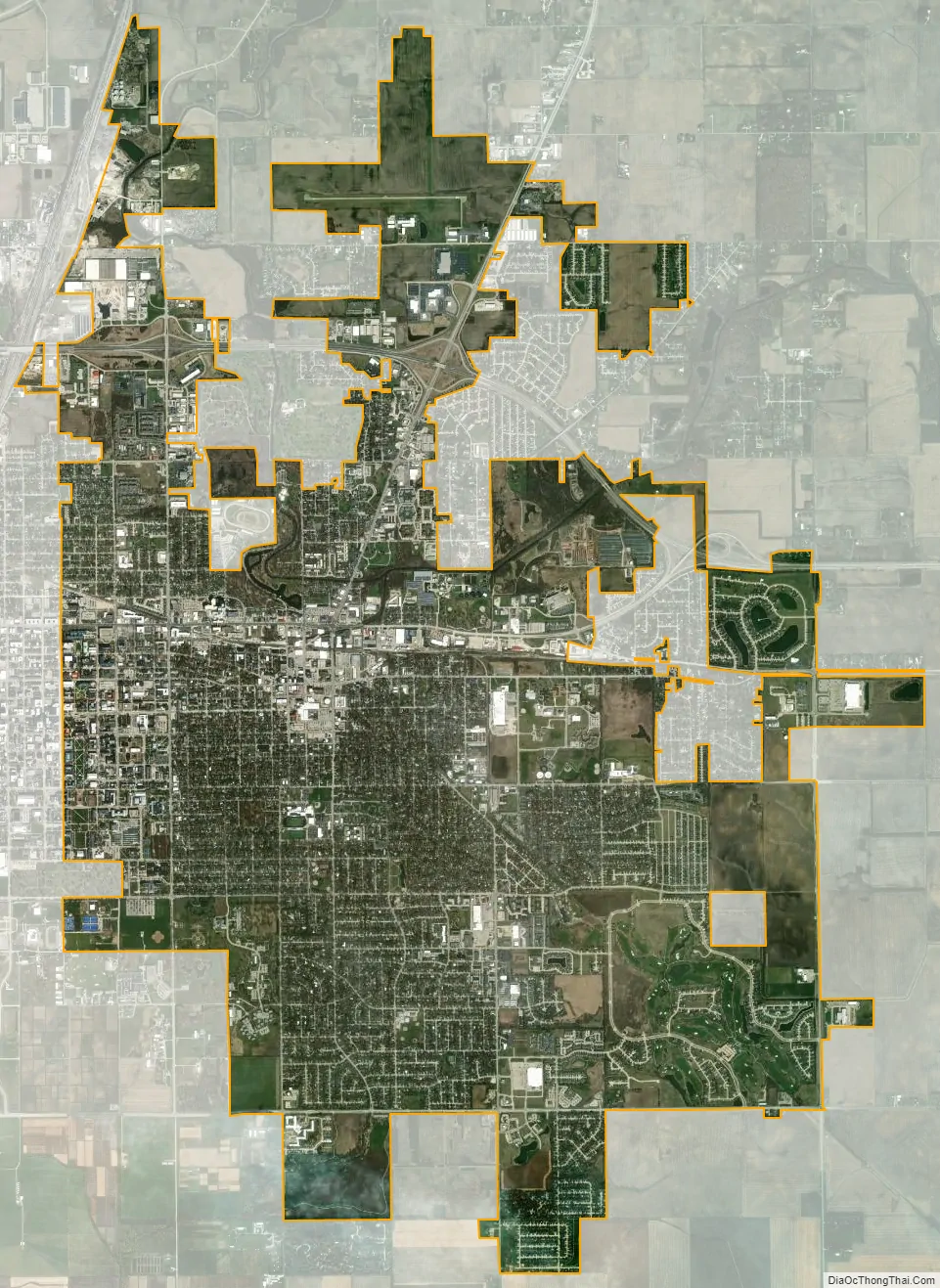
Urbana city Satellite Map
Geography
According to the 2021 census gazetteer files, Urbana has a total area of 11.90 square miles (30.82 km), of which 11.83 square miles (30.64 km) (or 99.40%) is land and 0.07 square miles (0.18 km) (or 0.60%) is water.
Urbana borders the city of Champaign. The main campus of the University of Illinois is situated on this border. Together, these two cities are often referred to as Urbana-Champaign (the designation used by the University) or Champaign-Urbana (the more common usage, due to the larger size of Champaign). With the nearby village of Savoy they form the Champaign–Urbana metropolitan area.
See also
Map of Illinois State and its subdivision:- Adams
- Alexander
- Bond
- Boone
- Brown
- Bureau
- Calhoun
- Carroll
- Cass
- Champaign
- Christian
- Clark
- Clay
- Clinton
- Coles
- Cook
- Crawford
- Cumberland
- De Kalb
- De Witt
- Douglas
- Dupage
- Edgar
- Edwards
- Effingham
- Fayette
- Ford
- Franklin
- Fulton
- Gallatin
- Greene
- Grundy
- Hamilton
- Hancock
- Hardin
- Henderson
- Henry
- Iroquois
- Jackson
- Jasper
- Jefferson
- Jersey
- Jo Daviess
- Johnson
- Kane
- Kankakee
- Kendall
- Knox
- La Salle
- Lake
- Lake Michigan
- Lawrence
- Lee
- Livingston
- Logan
- Macon
- Macoupin
- Madison
- Marion
- Marshall
- Mason
- Massac
- McDonough
- McHenry
- McLean
- Menard
- Mercer
- Monroe
- Montgomery
- Morgan
- Moultrie
- Ogle
- Peoria
- Perry
- Piatt
- Pike
- Pope
- Pulaski
- Putnam
- Randolph
- Richland
- Rock Island
- Saint Clair
- Saline
- Sangamon
- Schuyler
- Scott
- Shelby
- Stark
- Stephenson
- Tazewell
- Union
- Vermilion
- Wabash
- Warren
- Washington
- Wayne
- White
- Whiteside
- Will
- Williamson
- Winnebago
- Woodford
- Alabama
- Alaska
- Arizona
- Arkansas
- California
- Colorado
- Connecticut
- Delaware
- District of Columbia
- Florida
- Georgia
- Hawaii
- Idaho
- Illinois
- Indiana
- Iowa
- Kansas
- Kentucky
- Louisiana
- Maine
- Maryland
- Massachusetts
- Michigan
- Minnesota
- Mississippi
- Missouri
- Montana
- Nebraska
- Nevada
- New Hampshire
- New Jersey
- New Mexico
- New York
- North Carolina
- North Dakota
- Ohio
- Oklahoma
- Oregon
- Pennsylvania
- Rhode Island
- South Carolina
- South Dakota
- Tennessee
- Texas
- Utah
- Vermont
- Virginia
- Washington
- West Virginia
- Wisconsin
- Wyoming