Valmeyer is a village in Monroe County, Illinois, United States. The population was 1,233 at the 2020 census. It was originally located in the American Bottom floodplain of the Mississippi River but now occupies higher land to the east.
| Name: | Valmeyer village |
|---|---|
| LSAD Code: | 47 |
| LSAD Description: | village (suffix) |
| State: | Illinois |
| County: | Monroe County |
| Total Area: | 3.50 sq mi (9.08 km²) |
| Land Area: | 3.45 sq mi (8.93 km²) |
| Water Area: | 0.06 sq mi (0.14 km²) |
| Total Population: | 1,233 |
| Population Density: | 357.49/sq mi (138.04/km²) |
| FIPS code: | 1777265 |
| Website: | www.valmeyerillinois.com |
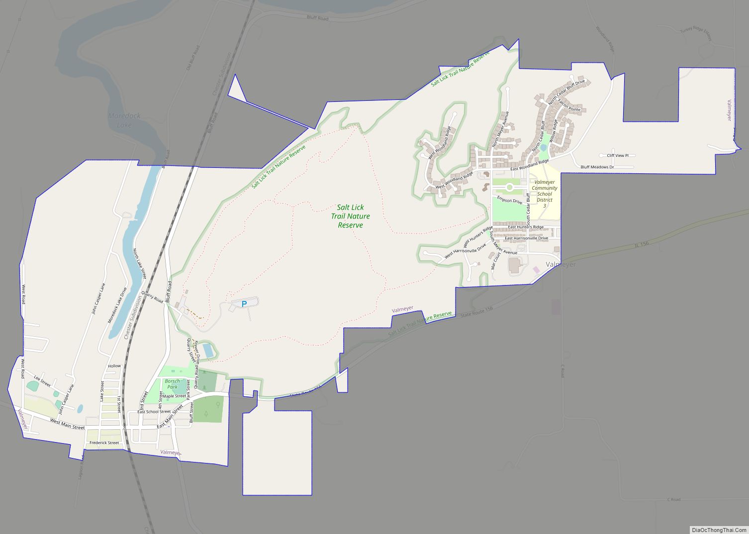
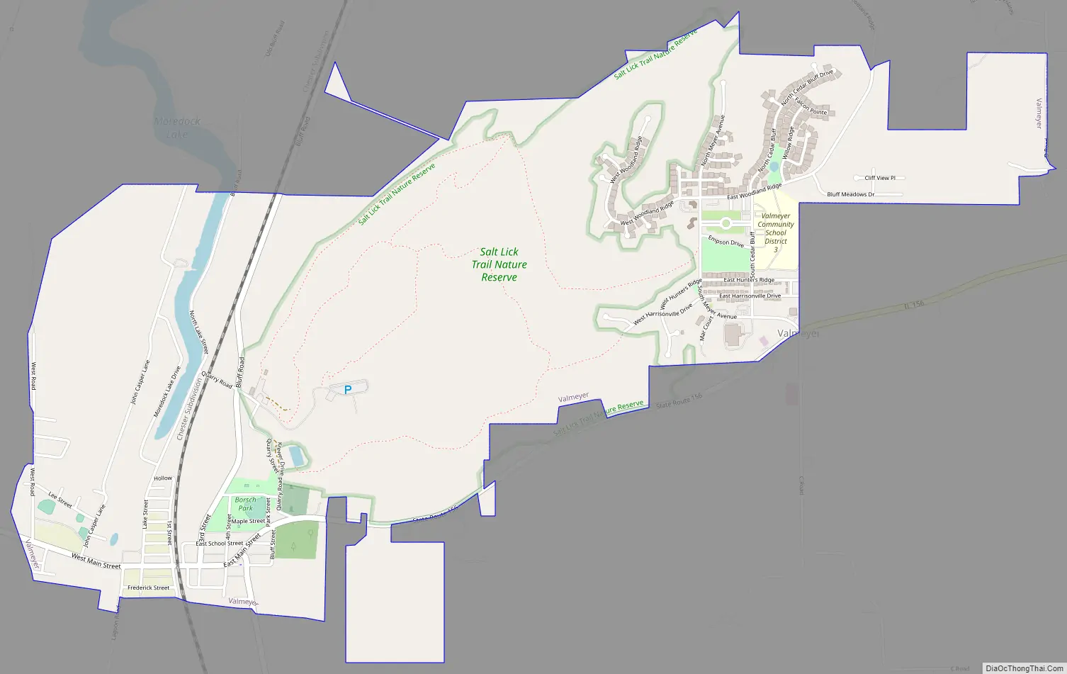
Online Interactive Map
Click on ![]() to view map in "full screen" mode.
to view map in "full screen" mode.
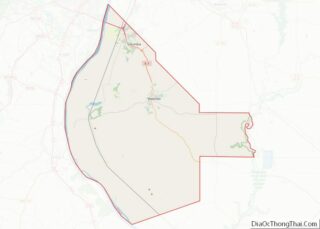
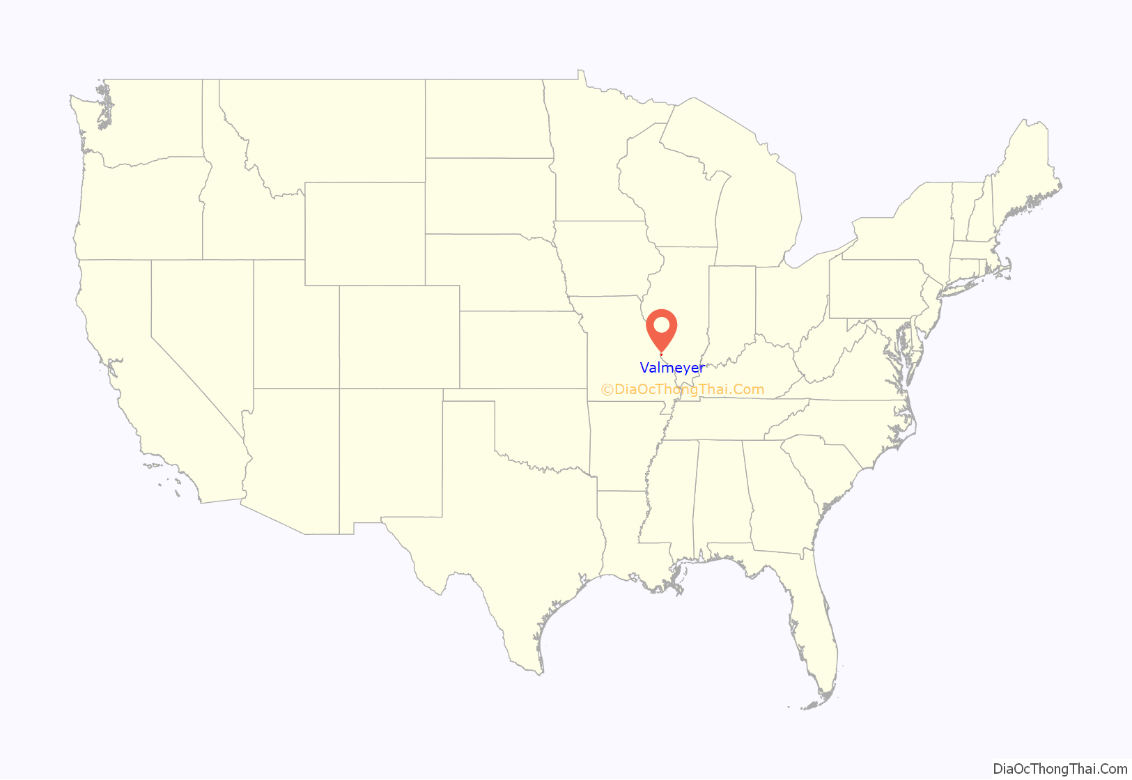
Valmeyer location map. Where is Valmeyer village?
History
After the Great Flood of 1993 the residents of Valmeyer decided to relocate the town 2 miles (3 km) to the east, on land that is more than 300 feet (91 m) higher than the floodplain. The town was rebuilt with financial assistance from the Federal Emergency Management Agency. The old townsite has been described as a ghost town with few inhabitants but still an important traffic artery. Valmeyer’s successful relocation is seen as a potential model for other localities retreating from sea level rise.
Valmeyer Road Map
Valmeyer city Satellite Map

Geography
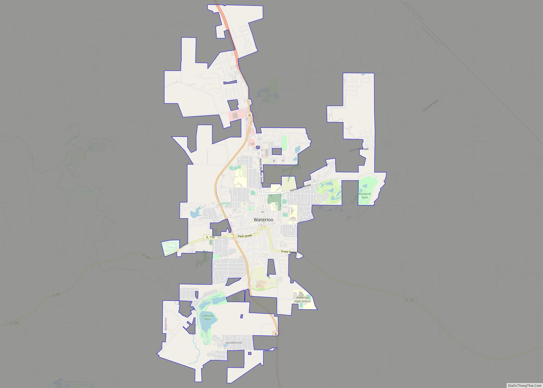
Valmeyer is located in western Monroe County at 38°18′00″N 90°18′30″W / 38.299904°N 90.308334°W / 38.299904; -90.308334. Illinois Route 156 runs along the southern edge of the new village and passes through the center of the old village. IL 156 leads east 7 miles (11 km) to Waterloo, the county seat, and west 5 miles (8 km) to its terminus at Harrisonville, 1 mile (1.6 km) east of the Mississippi River.
According to the U.S. Census Bureau, Valmeyer has a total area of 3.45 square miles (8.9 km), of which 3.42 square miles (8.9 km) are land and 0.054 square miles (0.14 km), or 1.56%, are water.
See also
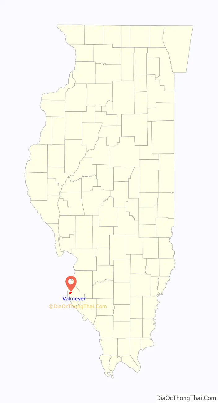
Map of Illinois State and its subdivision:- Adams
- Alexander
- Bond
- Boone
- Brown
- Bureau
- Calhoun
- Carroll
- Cass
- Champaign
- Christian
- Clark
- Clay
- Clinton
- Coles
- Cook
- Crawford
- Cumberland
- De Kalb
- De Witt
- Douglas
- Dupage
- Edgar
- Edwards
- Effingham
- Fayette
- Ford
- Franklin
- Fulton
- Gallatin
- Greene
- Grundy
- Hamilton
- Hancock
- Hardin
- Henderson
- Henry
- Iroquois
- Jackson
- Jasper
- Jefferson
- Jersey
- Jo Daviess
- Johnson
- Kane
- Kankakee
- Kendall
- Knox
- La Salle
- Lake
- Lake Michigan
- Lawrence
- Lee
- Livingston
- Logan
- Macon
- Macoupin
- Madison
- Marion
- Marshall
- Mason
- Massac
- McDonough
- McHenry
- McLean
- Menard
- Mercer
- Monroe
- Montgomery
- Morgan
- Moultrie
- Ogle
- Peoria
- Perry
- Piatt
- Pike
- Pope
- Pulaski
- Putnam
- Randolph
- Richland
- Rock Island
- Saint Clair
- Saline
- Sangamon
- Schuyler
- Scott
- Shelby
- Stark
- Stephenson
- Tazewell
- Union
- Vermilion
- Wabash
- Warren
- Washington
- Wayne
- White
- Whiteside
- Will
- Williamson
- Winnebago
- Woodford
- Alabama
- Alaska
- Arizona
- Arkansas
- California
- Colorado
- Connecticut
- Delaware
- District of Columbia
- Florida
- Georgia
- Hawaii
- Idaho
- Illinois
- Indiana
- Iowa
- Kansas
- Kentucky
- Louisiana
- Maine
- Maryland
- Massachusetts
- Michigan
- Minnesota
- Mississippi
- Missouri
- Montana
- Nebraska
- Nevada
- New Hampshire
- New Jersey
- New Mexico
- New York
- North Carolina
- North Dakota
- Ohio
- Oklahoma
- Oregon
- Pennsylvania
- Rhode Island
- South Carolina
- South Dakota
- Tennessee
- Texas
- Utah
- Vermont
- Virginia
- Washington
- West Virginia
- Wisconsin
- Wyoming