Vandalia is a city in and the county seat of Fayette County, Illinois, United States. At the 2020 Census, the population was 7,458. Vandalia is 69 miles (111 km) northeast of St. Louis, on the Kaskaskia River. It served as the state capital of Illinois from 1819 until 1839, when the seat of state government moved to the current capital of Springfield. Vandalia was for years the western terminus of the National Road. From 1836 onward, Vandalia is the home of the Vandalia State House State Historic Site.
| Name: | Vandalia city |
|---|---|
| LSAD Code: | 25 |
| LSAD Description: | city (suffix) |
| State: | Illinois |
| County: | Fayette County |
| Founded: | 1819 |
| Elevation: | 518 ft (158 m) |
| Total Area: | 8.16 sq mi (21.14 km²) |
| Land Area: | 8.15 sq mi (21.10 km²) |
| Water Area: | 0.02 sq mi (0.04 km²) |
| Total Population: | 7,458 |
| Population Density: | 915.43/sq mi (353.46/km²) |
| ZIP code: | 62471 |
| Area code: | 618 |
| FIPS code: | 1777317 |
| GNISfeature ID: | 2397119 |
| Website: | vandaliaillinois.com |
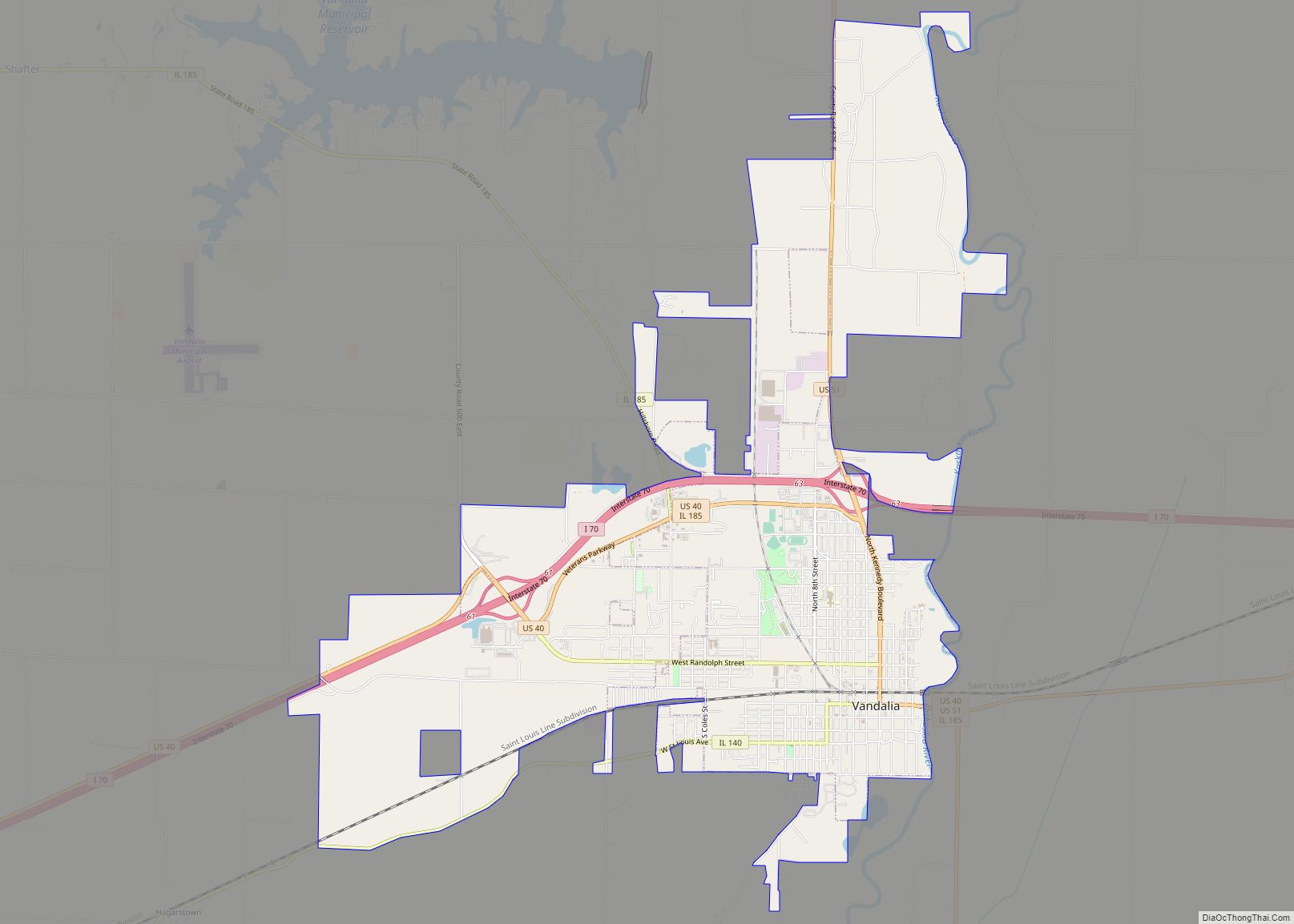
Online Interactive Map
Click on ![]() to view map in "full screen" mode.
to view map in "full screen" mode.
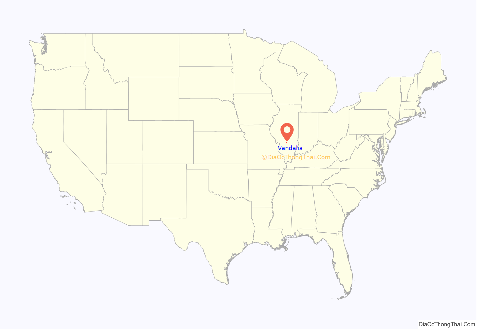
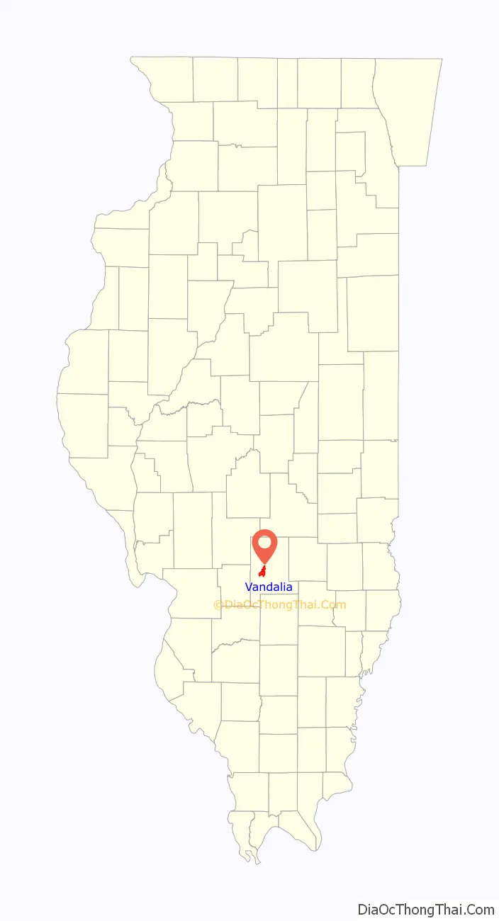
Vandalia location map. Where is Vandalia city?
History
Vandalia was founded in 1819 as a new capital city for Illinois. The previous capital, Kaskaskia, was unsuitable because it was under the constant threat of flooding. The townsite, located in Bond County at the time, was hastily prepared for the 1820 meeting of the Illinois General Assembly. In 1821, Fayette County was created, including Vandalia.
The history of the name Vandalia is uncertain. Different theories can be found in almost all of the books written about Vandalia over the years. In her book Vandalia: Wilderness Capital of Lincoln’s Land, Mary Burtschi tells of a conversation between one of the original surveyors of the town and a Vandalia resident. The surveyor, Colonel Greenup, explained that Van was suggested by one of the men. He recommended this as an abbreviation to the word vanguard meaning the forefront of an advancing movement. Another suggestion was made for the term dalia, derived from the Anglo-Saxon word dale which means a valley between hills. Greenup takes credit in the conversation for connecting the two terms to form the name Vandalia.
Another possible source of the name is the Vandalia colony, a failed attempt to establish a fourteenth colony in part of what is now West Virginia and Kentucky. The Vandalia colony was named in honor of Queen Charlotte, who claimed descent from the Wendish tribe of Obodrites, also called the Vandals.
Another theory put forth is that Vandalia was named by those who located the state capital in the town; according to the story, they mistakenly thought the Vandals were a brave Native American tribe, rather than of Germanic origins.
The law under which Vandalia was founded included a provision that the capital would not be moved for twenty years. Even before the end of this period, the population center of the state had shifted far north of Vandalia. In 1837, the General Assembly voted to move the capital to Springfield.
On November 21, 1915, the Liberty Bell passed through Vandalia on its nationwide tour, while being returned to Philadelphia, Pennsylvania from the Panama-Pacific International Exposition in San Francisco.
In the early 1960s the sociologist Joseph Lyford examined the social structure of Vandalia in a book-length study that revealed the essentially corporatist nature of decision-making in the city; this work was recently revisited by the Economist newspaper.
Population trends
In 1900, 2,665 people lived in Vandalia; in 1910, 2,974; and in 1940, 5,288. The population was 6,975 at the 2000 census.
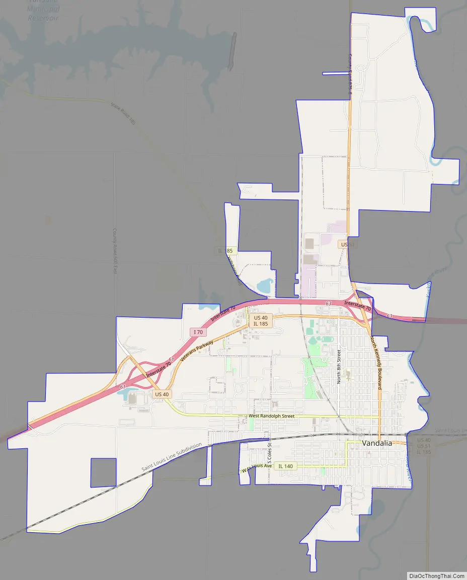
Vandalia Road Map
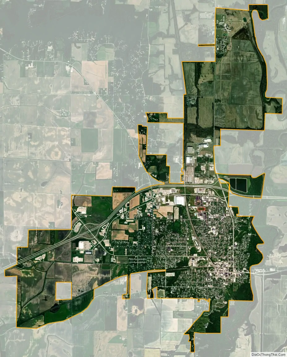
Vandalia city Satellite Map
Geography
According to the 2010 census, Vandalia has a total area of 8.116 square miles (21.02 km), of which 8.1 square miles (20.98 km) (or 99.8%) is land and 0.016 square miles (0.04 km) (or 0.2%) is water.
Vandalia is situated on Interstate 70, U.S. Route 40 (the National Road) and U.S. Route 51.
Climate
See also
Map of Illinois State and its subdivision:- Adams
- Alexander
- Bond
- Boone
- Brown
- Bureau
- Calhoun
- Carroll
- Cass
- Champaign
- Christian
- Clark
- Clay
- Clinton
- Coles
- Cook
- Crawford
- Cumberland
- De Kalb
- De Witt
- Douglas
- Dupage
- Edgar
- Edwards
- Effingham
- Fayette
- Ford
- Franklin
- Fulton
- Gallatin
- Greene
- Grundy
- Hamilton
- Hancock
- Hardin
- Henderson
- Henry
- Iroquois
- Jackson
- Jasper
- Jefferson
- Jersey
- Jo Daviess
- Johnson
- Kane
- Kankakee
- Kendall
- Knox
- La Salle
- Lake
- Lake Michigan
- Lawrence
- Lee
- Livingston
- Logan
- Macon
- Macoupin
- Madison
- Marion
- Marshall
- Mason
- Massac
- McDonough
- McHenry
- McLean
- Menard
- Mercer
- Monroe
- Montgomery
- Morgan
- Moultrie
- Ogle
- Peoria
- Perry
- Piatt
- Pike
- Pope
- Pulaski
- Putnam
- Randolph
- Richland
- Rock Island
- Saint Clair
- Saline
- Sangamon
- Schuyler
- Scott
- Shelby
- Stark
- Stephenson
- Tazewell
- Union
- Vermilion
- Wabash
- Warren
- Washington
- Wayne
- White
- Whiteside
- Will
- Williamson
- Winnebago
- Woodford
- Alabama
- Alaska
- Arizona
- Arkansas
- California
- Colorado
- Connecticut
- Delaware
- District of Columbia
- Florida
- Georgia
- Hawaii
- Idaho
- Illinois
- Indiana
- Iowa
- Kansas
- Kentucky
- Louisiana
- Maine
- Maryland
- Massachusetts
- Michigan
- Minnesota
- Mississippi
- Missouri
- Montana
- Nebraska
- Nevada
- New Hampshire
- New Jersey
- New Mexico
- New York
- North Carolina
- North Dakota
- Ohio
- Oklahoma
- Oregon
- Pennsylvania
- Rhode Island
- South Carolina
- South Dakota
- Tennessee
- Texas
- Utah
- Vermont
- Virginia
- Washington
- West Virginia
- Wisconsin
- Wyoming