Map of Camargo village, Illinois
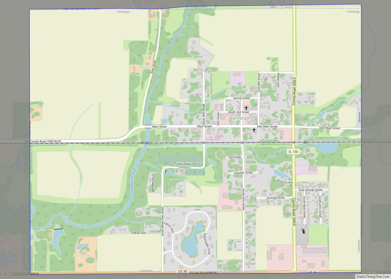
Camargo is a village in Douglas County, Illinois, United States. The population was 452 at the 2020 census. Camargo is at the intersection of Illinois Route 130 and U.S. Route 36. Camargo is the oldest township in Douglas County. In 2006, the first annual Camargo Woolly Worm Festival was launched during the first weekend in ... Read more
Map of Camargo village, Illinois
Map of Calumet Park village
Calumet Park (formerly DeYoung) is a village in Cook County, Illinois. The population was 7,025 at the 2020 census. On May 13, 2010, Mayor Joseph DuPar and the Village Board approved renaming 127th Street as Obama Drive, in honor of the 44th President of the United States. On August 21, 2010, State Senator Emil Jones ... Read more
Map of Calumet Park village
Map of Calumet City
Calumet City (/ˌkæljʊˈmɛt/ KAL-yuu-MET) is a city in Cook County, Illinois, United States. The population was 36,033 at the 2020 census, a decline of 2.7% from 37,042 in 2010. The ZIP code is 60409. Calumet City city overview: Name: Calumet City city LSAD Code: 25 LSAD Description: city (suffix) State: Illinois County: Cook County Total ... Read more
Map of Calumet City
Map of Calhoun village, Illinois
Calhoun is a village in Richland County, Illinois, United States. The population was 222 at the 2000 census. Calhoun village overview: Name: Calhoun village LSAD Code: 47 LSAD Description: village (suffix) State: Illinois County: Richland County Elevation: 545 ft (166 m) Total Area: 0.91 sq mi (2.36 km²) Land Area: 0.91 sq mi (2.36 km²) Water Area: 0.00 sq mi (0.00 km²) Total Population: 164 Population ... Read more
Map of Calhoun village, Illinois
Map of Caledonia village, Illinois
Caledonia is a village in Caledonia Township, Boone County, Illinois, United States. It is part of the Rockford, Illinois Metropolitan Statistical Area. The population was 183 at the 2020 census. Caledonia village overview: Name: Caledonia village LSAD Code: 47 LSAD Description: village (suffix) State: Illinois County: Boone County Total Area: 1.03 sq mi (2.68 km²) Land Area: 1.03 sq mi ... Read more
Map of Caledonia village, Illinois
Map of Cairo city, Illinois
Cairo (/ˈkɛəroʊ/ KAIR-oh) is the southernmost city in Illinois and the county seat of Alexander County. The city is located at the confluence of the Ohio and Mississippi rivers. Fort Defiance, a Civil War camp, was built here in 1862 by Union General Ulysses S. Grant to control strategic access to the rivers, and launch ... Read more
Map of Cairo city, Illinois
Map of Cahokia village
Cahokia was a village in St. Clair County, Illinois, United States. It was located east of the Mississippi River in the Greater St. Louis metropolitan area. As of the 2010 census, 15,241 people lived in the village, a decline from 16,391 in 2000. On May 6, 2021, the village ceased to exist, being incorporated into ... Read more
Map of Cahokia village
Map of Canton city, Illinois
Canton is the largest city in Fulton County, Illinois, United States. The population was 14,704 at the 2010 census, down from 15,288 as of the 2000 census. The Canton Micropolitan Statistical Area covers all of Fulton County; it is in turn, part of the wider Peoria-Canton, IL Combined Statistical Area (CSA). Canton city overview: Name: ... Read more
Map of Canton city, Illinois
Map of Candlewick Lake CDP
Candlewick Lake CDP overview: Name: Candlewick Lake CDP LSAD Code: 57 LSAD Description: CDP (suffix) State: Illinois FIPS code: 1710936 Online Interactive Map Candlewick Lake online map. Source: Basemap layers from Google Map, Open Street Map (OSM), Arcgisonline, Wmflabs. Boundary Data from Database of Global Administrative Areas. Candlewick Lake location map. Where is Candlewick Lake ... Read more
Map of Candlewick Lake CDP
Map of Campus village
Campus is a village in Round Grove and Broughton townships, Livingston County, Illinois. The population was 166 at the 2010 census. Campus village overview: Name: Campus village LSAD Code: 47 LSAD Description: village (suffix) State: Illinois County: Livingston County Elevation: 658 ft (201 m) Total Area: 0.09 sq mi (0.24 km²) Land Area: 0.09 sq mi (0.24 km²) Water Area: 0.00 sq mi (0.00 km²) Total ... Read more
Map of Campus village
Map of Campton Hills village
Campton Hills is a village in Kane County, Illinois and is a western suburb of Chicago. The population of the village is 11,131 per the 2010 US Census. The village was established on May 14, 2007, by incorporating 20.3 square miles of Campton and Plato townships, including the unincorporated community of Wasco. The incorporation followed ... Read more
Map of Campton Hills village
Map of Campbell Hill village
Campbell Hill is a village in Jackson County, Illinois, United States. The population was 309 at the 2020 census. Campbell Hill village overview: Name: Campbell Hill village LSAD Code: 47 LSAD Description: village (suffix) State: Illinois County: Jackson County Elevation: 558 ft (170 m) Total Area: 0.46 sq mi (1.20 km²) Land Area: 0.46 sq mi (1.20 km²) Water Area: 0.00 sq mi (0.00 km²) Total ... Read more
Map of Campbell Hill village