Canton is the largest city in Fulton County, Illinois, United States. The population was 14,704 at the 2010 census, down from 15,288 as of the 2000 census. The Canton Micropolitan Statistical Area covers all of Fulton County; it is in turn, part of the wider Peoria-Canton, IL Combined Statistical Area (CSA).
| Name: | Canton city |
|---|---|
| LSAD Code: | 25 |
| LSAD Description: | city (suffix) |
| State: | Illinois |
| County: | Fulton County |
| Founded: | 1825 |
| Incorporated: | 1837 |
| Elevation: | 640 ft (200 m) |
| Total Area: | 8.01 sq mi (20.76 km²) |
| Land Area: | 7.86 sq mi (20.35 km²) |
| Water Area: | 0.16 sq mi (0.41 km²) |
| Total Population: | 13,242 |
| Population Density: | 1,685.16/sq mi (650.62/km²) |
| ZIP code: | 61520 |
| Area code: | 309 |
| FIPS code: | 1711007 |
| Website: | www.cantonillinois.org |
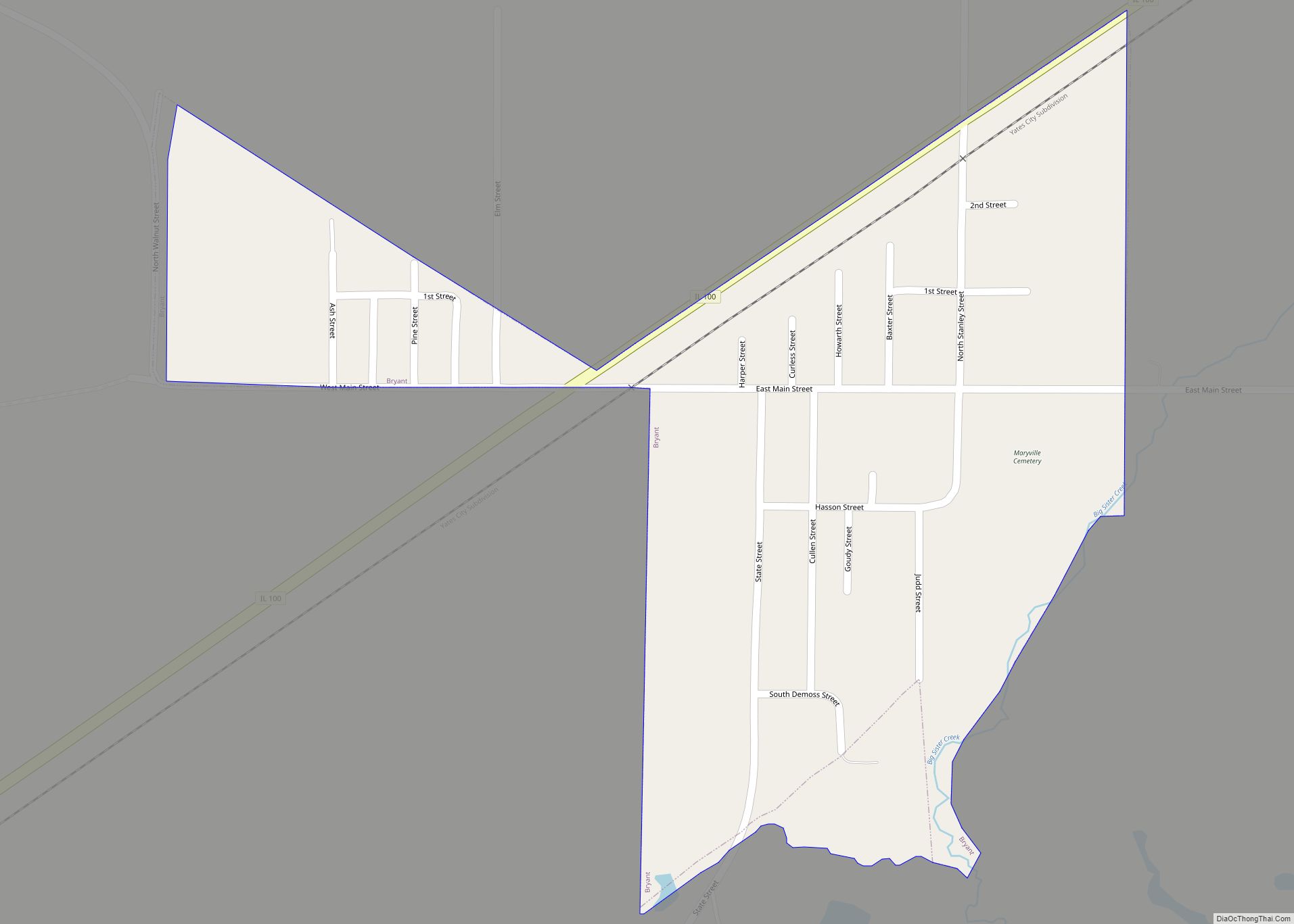
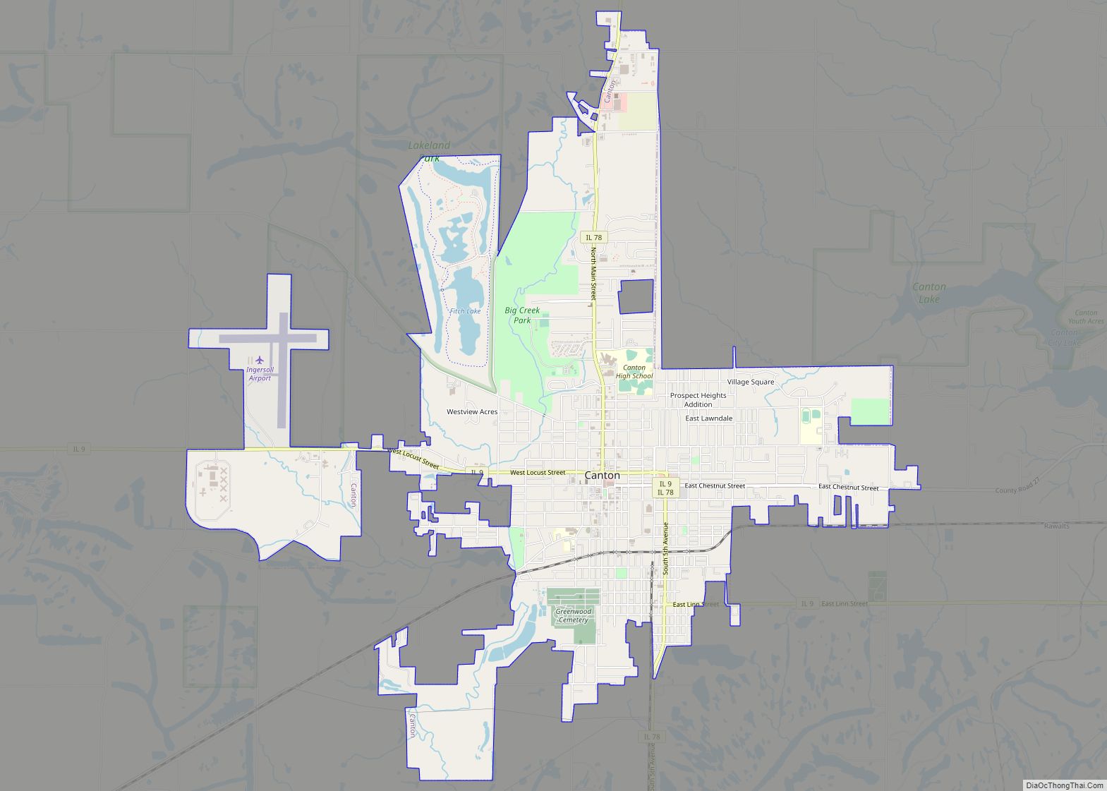
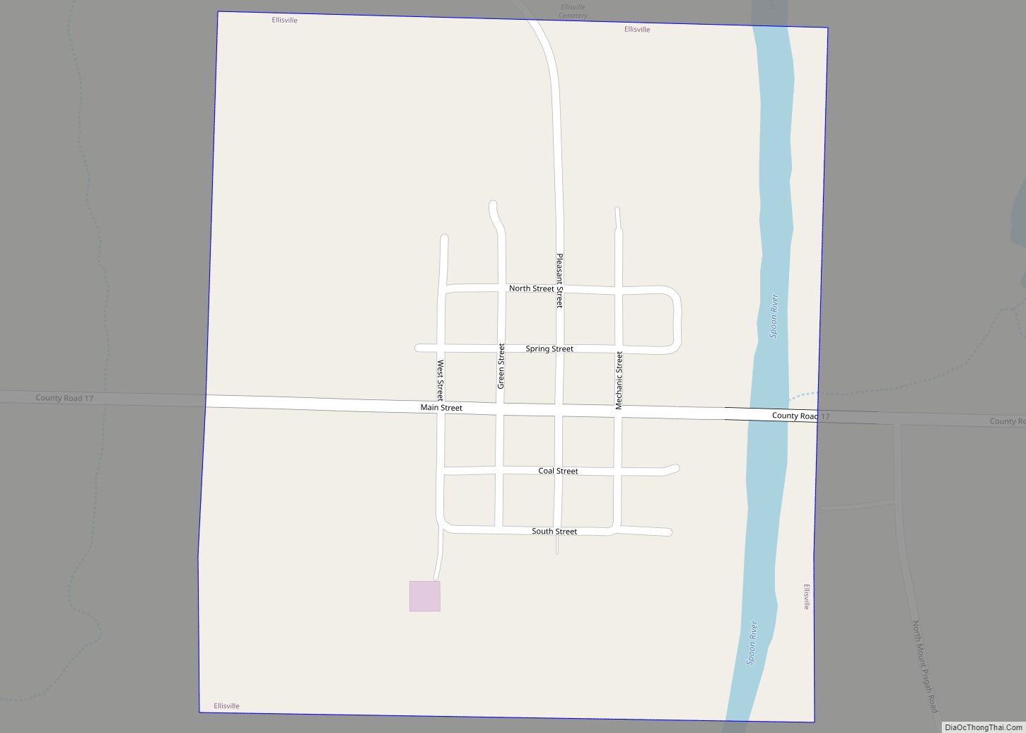
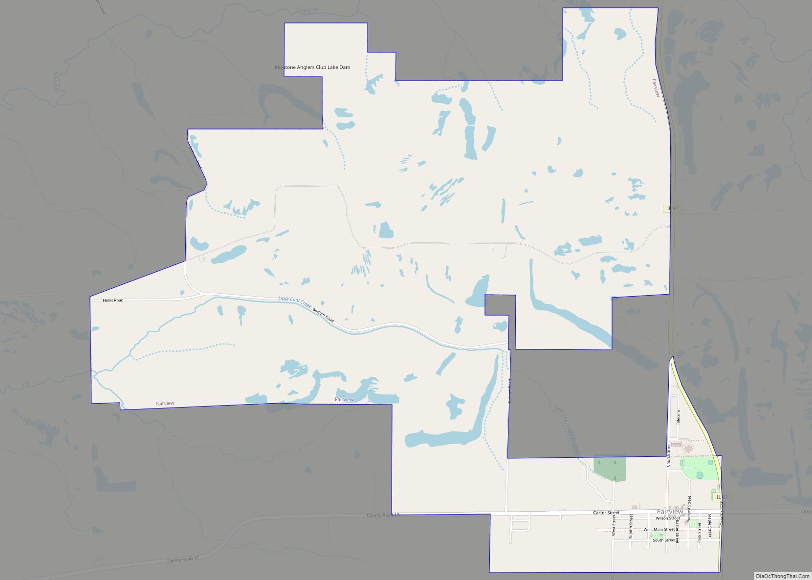
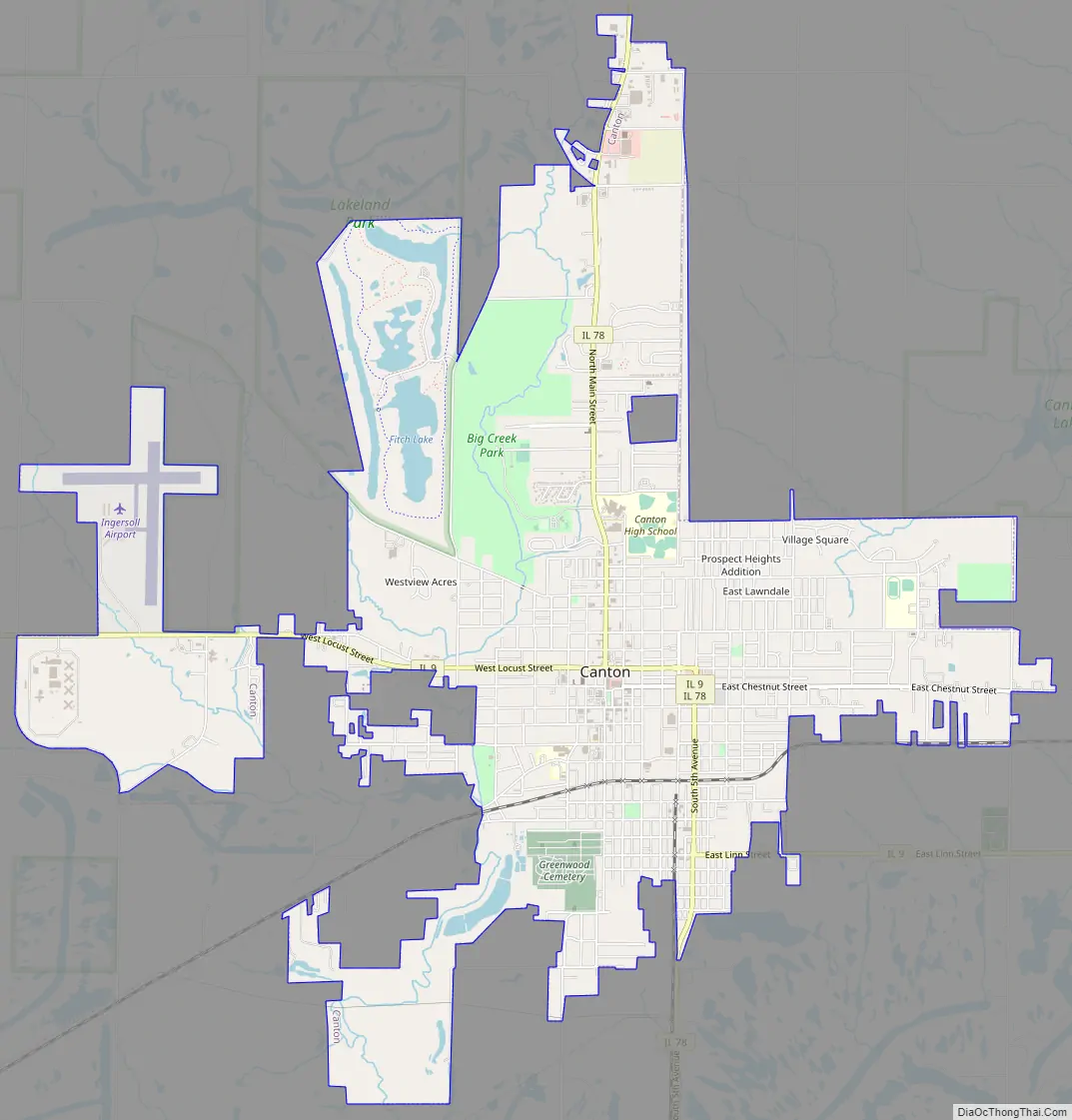
Online Interactive Map
Click on ![]() to view map in "full screen" mode.
to view map in "full screen" mode.
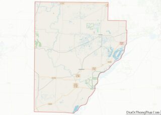
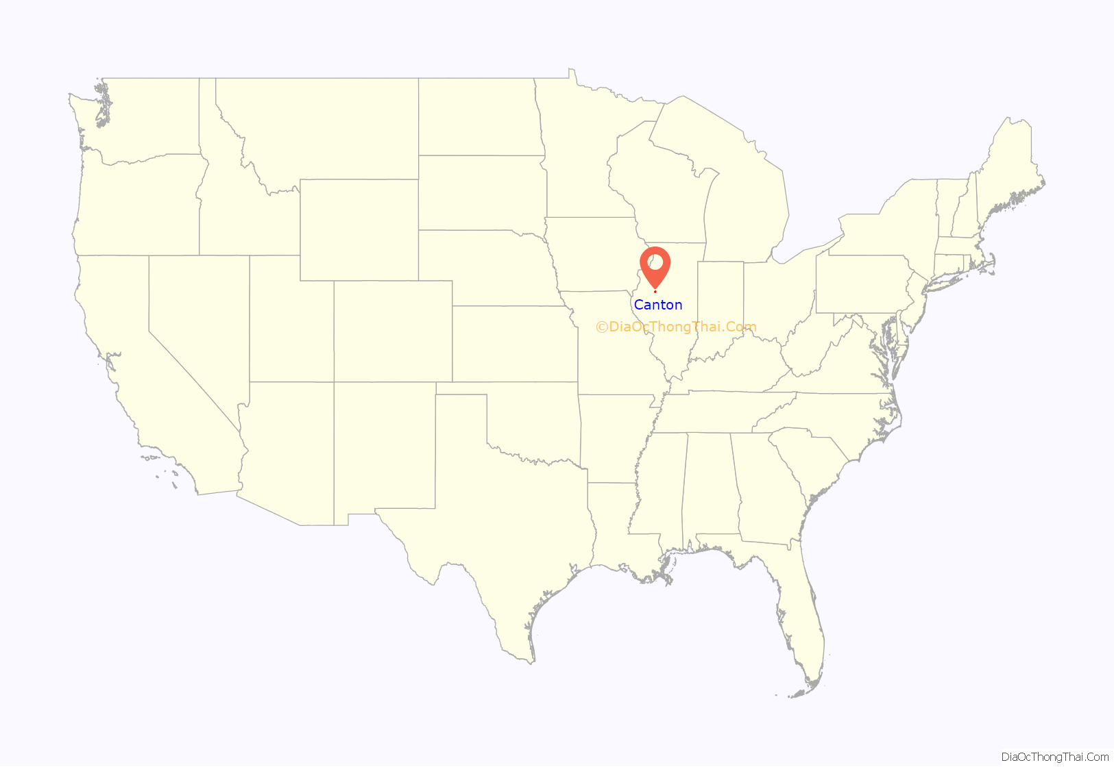
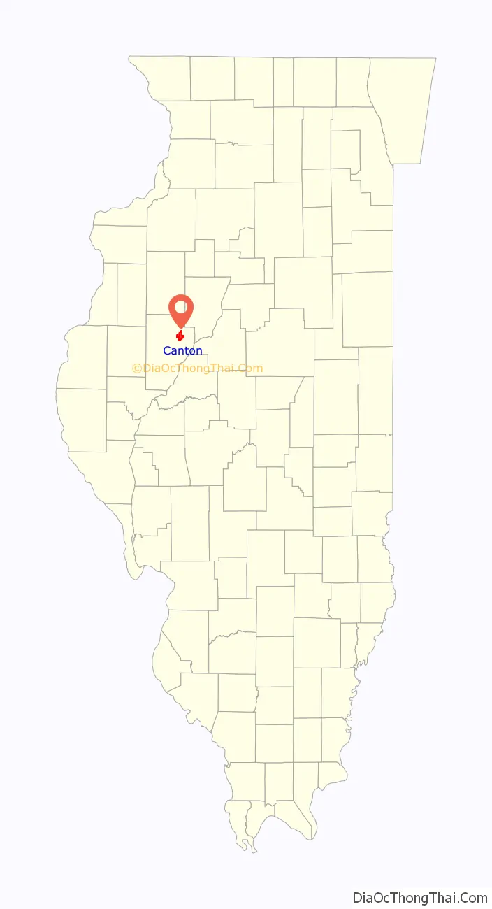
Canton location map. Where is Canton city?
History
Canton was founded in 1825 by settler Isaac Swan, who believed his new town and Canton, China, were antipodes. Abundant coal and labor, and the proximity of railroads and the Illinois River made Canton a factory town. The major manufacturing plant in town was P&O (Parlin & Orendorff) Plow Works, later International Harvester, which closed in 1983. In 1997, the 30-acre (120,000 m) plant was destroyed by an arson fire, leaving the former industrial heart of the city a smoldering ruin, which has since been leveled. The town’s employers now include the Illinois state prison named the Illinois River Correctional Center, the city’s Graham Hospital, Cook Medical, Spoon River College and retail stores.
Tragically, founder Isaac Swan, his infant child, and three other people died in the devastating tornado of June 1835. “Isaac Swan and his child were found in the wreckage of their cabin, the baby dying in its mother’s arms,” leading some to conclude that the tornado represented divine retribution for the city allowing a circus performance the previous week. The city was hit by a F-3 tornado on July 23, 1975. Two people were killed, and the storm caused major damage to the downtown area. A circus had visited the city just one week prior, the first circus to entertain in Canton since 1835. In November, 1975, the Canton City Council passed an ordinance banning circuses within the city limits in perpetuity.
Much of the city, particularly the northern portion, has been undermined by room and pillar extraction of coal that took place in the 1800s. Sinkholes occasionally have occurred, leading to loss of property, but no documented injuries or deaths. Areas afflicted by mine subsidence have been cleverly redeveloped as parkland and recreational lakes.
Central Illinois Energy, a locally financed cooperative, began planning for a corn-fermentation ethanol plant in 2002. Construction and finance delays resulted in its opening in 2007, approximately 4 miles (6 km) south of the city. Beset by financial problems and construction delays on the plant, the cooperative declared bankruptcy. Central Illinois Energy’s assets were bought by a private company. Construction was completed, and the plant began production in the summer of 2008. It was renamed Riverland Biofuels. The plant was shuttered again in 2010, and its facilities purchased by Aventine Renewable Energy. High grain prices have led to its continued idling, although production could be restarted on short notice.
In December 2008, Cook Medical announced that it would open a new medical device factory at the old International Harvester site. Company owner William “Bill” Cook had grown up in Canton and wanted to do something to help revitalize his home town community. Some of the costs related to Cook Medical were planned to be paid for with state funds: a $750,000 Community Development Assistance Program grant from the Illinois Department of Commerce and Economic Opportunity and a $1.1 million grant from the Illinois Department of Transportation for infrastructure improvements near the plant. Scott Eells, the chief operating officer for Cook Group, has said that the factory will eventually be 45,000 square feet (4,200 m), with more than 300 employees. Bill Cook had previously announced he was buying and renovating several old Canton buildings, including the 1883 Randolph Building on the town square. Cook purchased four buildings in downtown Canton, a shopping center, the site where the International Harvester plant was located as well as constructing the brand new Canton Harvester Inn boutique hotel and another factory—COOK Polymer. The Lewis Pharmacy Building was purchased and restored. The Randolph Building is another Canton purchase made by Cook. The main floor offers store fronts and there are apartments for rent on the second level. Also purchased is the Fulton Square Shopping Center.
On November 16, 2016, A gas explosion killed an Ameren worker who was fixing a gas leak, sent 12 to the local hospital, and demolished an adjacent building on 1st Avenue that was attached to the Opera House. The next day the Opera House and two other buildings were declared beyond repair and condemned, an additional building declared uninhabitable until repaired, and 48 other buildings noted as damaged but repairable.
Canton Road Map
Canton city Satellite Map

Geography
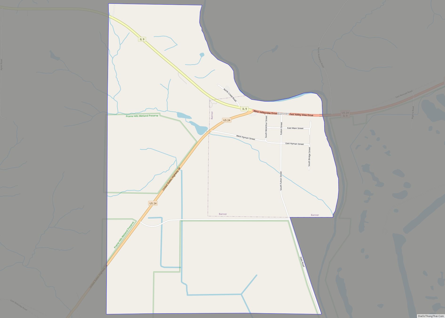
Canton is located in northeastern Fulton County at 40°33′28″N 90°02′03″W / 40.557737°N 90.034264°W / 40.557737; -90.034264. Illinois Routes 9 and 78 pass through the downtown together. IL 9 leads east 8 miles (13 km) to Banner near the Illinois River and west 27 miles (43 km) to Bushnell, while IL 78 leads north 10 miles (16 km) to Farmington and south 11 miles (18 km) to Little America in the Illinois River valley.
According to the 2010 census, Canton has a total area of 8.063 square miles (20.88 km), of which 7.9 square miles (20.46 km) (or 97.98%) is land and 0.163 square miles (0.42 km) (or 2.02%) is water.
See also
Map of Illinois State and its subdivision:- Adams
- Alexander
- Bond
- Boone
- Brown
- Bureau
- Calhoun
- Carroll
- Cass
- Champaign
- Christian
- Clark
- Clay
- Clinton
- Coles
- Cook
- Crawford
- Cumberland
- De Kalb
- De Witt
- Douglas
- Dupage
- Edgar
- Edwards
- Effingham
- Fayette
- Ford
- Franklin
- Fulton
- Gallatin
- Greene
- Grundy
- Hamilton
- Hancock
- Hardin
- Henderson
- Henry
- Iroquois
- Jackson
- Jasper
- Jefferson
- Jersey
- Jo Daviess
- Johnson
- Kane
- Kankakee
- Kendall
- Knox
- La Salle
- Lake
- Lake Michigan
- Lawrence
- Lee
- Livingston
- Logan
- Macon
- Macoupin
- Madison
- Marion
- Marshall
- Mason
- Massac
- McDonough
- McHenry
- McLean
- Menard
- Mercer
- Monroe
- Montgomery
- Morgan
- Moultrie
- Ogle
- Peoria
- Perry
- Piatt
- Pike
- Pope
- Pulaski
- Putnam
- Randolph
- Richland
- Rock Island
- Saint Clair
- Saline
- Sangamon
- Schuyler
- Scott
- Shelby
- Stark
- Stephenson
- Tazewell
- Union
- Vermilion
- Wabash
- Warren
- Washington
- Wayne
- White
- Whiteside
- Will
- Williamson
- Winnebago
- Woodford
- Alabama
- Alaska
- Arizona
- Arkansas
- California
- Colorado
- Connecticut
- Delaware
- District of Columbia
- Florida
- Georgia
- Hawaii
- Idaho
- Illinois
- Indiana
- Iowa
- Kansas
- Kentucky
- Louisiana
- Maine
- Maryland
- Massachusetts
- Michigan
- Minnesota
- Mississippi
- Missouri
- Montana
- Nebraska
- Nevada
- New Hampshire
- New Jersey
- New Mexico
- New York
- North Carolina
- North Dakota
- Ohio
- Oklahoma
- Oregon
- Pennsylvania
- Rhode Island
- South Carolina
- South Dakota
- Tennessee
- Texas
- Utah
- Vermont
- Virginia
- Washington
- West Virginia
- Wisconsin
- Wyoming