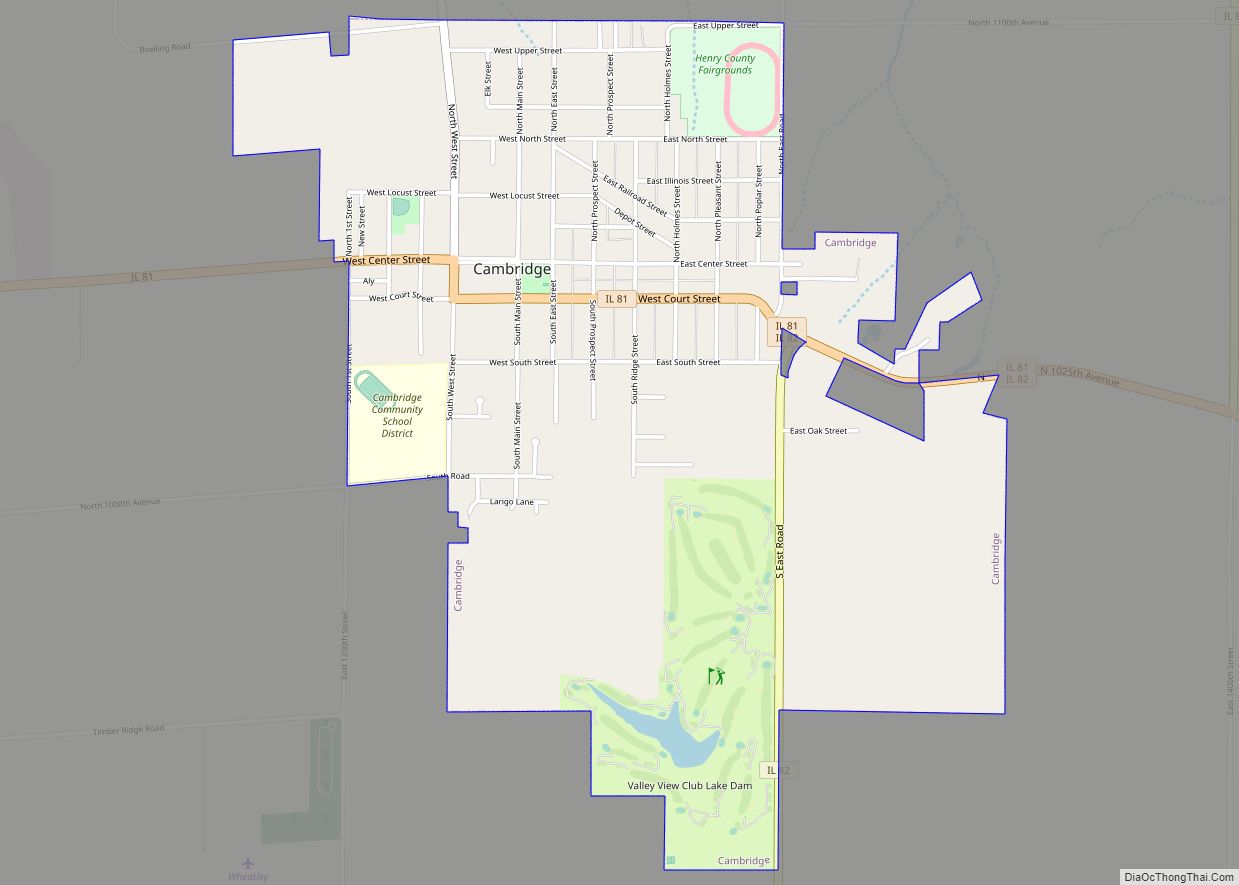
Cambridge is a village and the county seat of Henry County, Illinois, United States. The population was 2,160 at the 2010 census, down from 2,180 in 2000.
| Name: | Cambridge village |
|---|---|
| LSAD Code: | 47 |
| LSAD Description: | village (suffix) |
| State: | Illinois |
| County: | Henry County |
| Total Area: | 2.00 sq mi (5.19 km²) |
| Land Area: | 1.99 sq mi (5.16 km²) |
| Water Area: | 0.01 sq mi (0.04 km²) |
| Total Population: | 2,086 |
| Population Density: | 1,047.71/sq mi (404.43/km²) |
| ZIP code: | 61238 |
| Area code: | 309 |
| FIPS code: | 1710643 |
| Website: | www.cambridgeil.org |
Online Interactive Map
Click on ![]() to view map in "full screen" mode.
to view map in "full screen" mode.
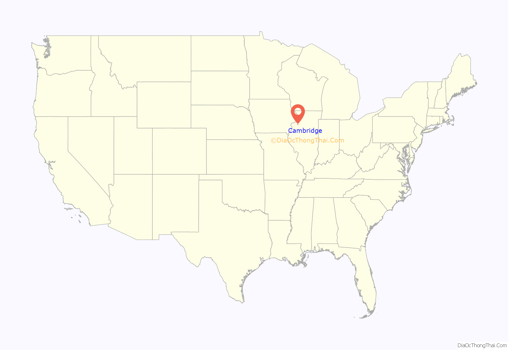
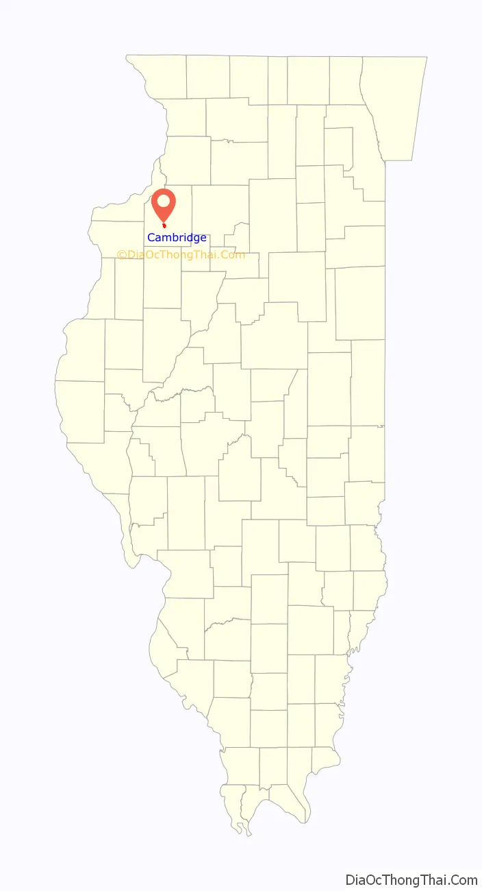
Cambridge location map. Where is Cambridge village?
History
Before 1843, the land where Cambridge is currently located was the private property of a man named Rev. Ithamar Pillsbury, who was very well known amongst the Yankee settlers (migrants from New England and upstate New York who were descended from the English Puritans who settled New England in the 1600s) who were moving to Henry County in large numbers at that time. Reverend Pillsbury deeded a large portion of his land to the town council and they immediately agreed it was a good place to lay out a town. Lots were sold to incoming migrants and on June 9 of 1843 (after some quarreling among the town founders about how to finance it) construction began on the town. Roads were laid out, post routes established, public buildings erected and people were invited to move there. The original settlers were entirely of New England origins or were Yankees from upstate New York whose families had moved to that place from New England only one generation earlier, in the aftermath of the Revolutionary War. This resulted in Henry County being culturally very contiguous with early New England culture.
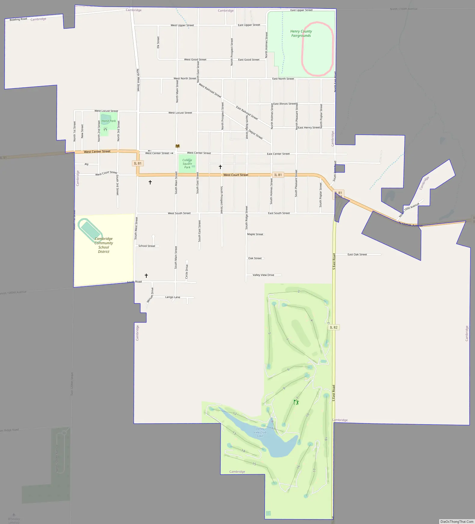
Cambridge Road Map
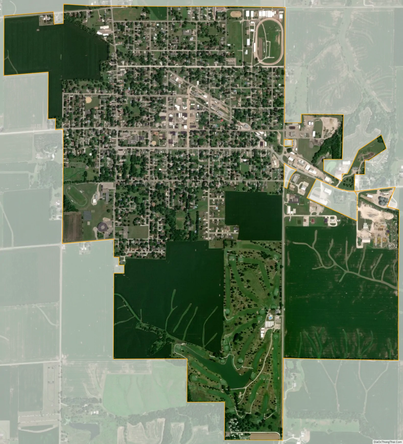
Cambridge city Satellite Map
Geography
According to the 2010 census, Cambridge has a total area of 2.154 square miles (5.58 km), of which 2.14 square miles (5.54 km) (or 99.35%) is land and 0.014 square miles (0.04 km) (or 0.65%) is water.
See also
Map of Illinois State and its subdivision:- Adams
- Alexander
- Bond
- Boone
- Brown
- Bureau
- Calhoun
- Carroll
- Cass
- Champaign
- Christian
- Clark
- Clay
- Clinton
- Coles
- Cook
- Crawford
- Cumberland
- De Kalb
- De Witt
- Douglas
- Dupage
- Edgar
- Edwards
- Effingham
- Fayette
- Ford
- Franklin
- Fulton
- Gallatin
- Greene
- Grundy
- Hamilton
- Hancock
- Hardin
- Henderson
- Henry
- Iroquois
- Jackson
- Jasper
- Jefferson
- Jersey
- Jo Daviess
- Johnson
- Kane
- Kankakee
- Kendall
- Knox
- La Salle
- Lake
- Lake Michigan
- Lawrence
- Lee
- Livingston
- Logan
- Macon
- Macoupin
- Madison
- Marion
- Marshall
- Mason
- Massac
- McDonough
- McHenry
- McLean
- Menard
- Mercer
- Monroe
- Montgomery
- Morgan
- Moultrie
- Ogle
- Peoria
- Perry
- Piatt
- Pike
- Pope
- Pulaski
- Putnam
- Randolph
- Richland
- Rock Island
- Saint Clair
- Saline
- Sangamon
- Schuyler
- Scott
- Shelby
- Stark
- Stephenson
- Tazewell
- Union
- Vermilion
- Wabash
- Warren
- Washington
- Wayne
- White
- Whiteside
- Will
- Williamson
- Winnebago
- Woodford
- Alabama
- Alaska
- Arizona
- Arkansas
- California
- Colorado
- Connecticut
- Delaware
- District of Columbia
- Florida
- Georgia
- Hawaii
- Idaho
- Illinois
- Indiana
- Iowa
- Kansas
- Kentucky
- Louisiana
- Maine
- Maryland
- Massachusetts
- Michigan
- Minnesota
- Mississippi
- Missouri
- Montana
- Nebraska
- Nevada
- New Hampshire
- New Jersey
- New Mexico
- New York
- North Carolina
- North Dakota
- Ohio
- Oklahoma
- Oregon
- Pennsylvania
- Rhode Island
- South Carolina
- South Dakota
- Tennessee
- Texas
- Utah
- Vermont
- Virginia
- Washington
- West Virginia
- Wisconsin
- Wyoming