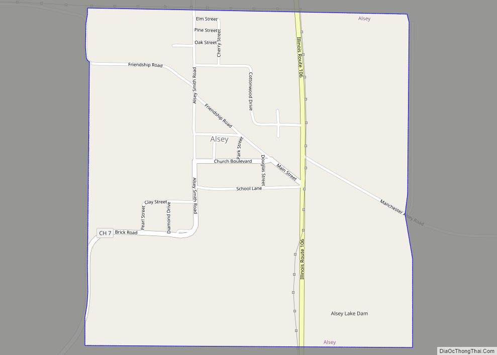
Alsey is a village in Scott County, Illinois, USA. The population was 246 at the 2000 census. It is part of the Jacksonville Micropolitan Statistical Area. Alsey village overview: Name: Alsey village LSAD Code: 47 LSAD Description: village (suffix) State: Illinois County: Scott County Elevation: 630 ft (190 m) Total Area: 0.56 sq mi (1.45 km²) Land Area: 0.55 sq mi (1.42 km²) ... Read more
Illinois Cities and Places
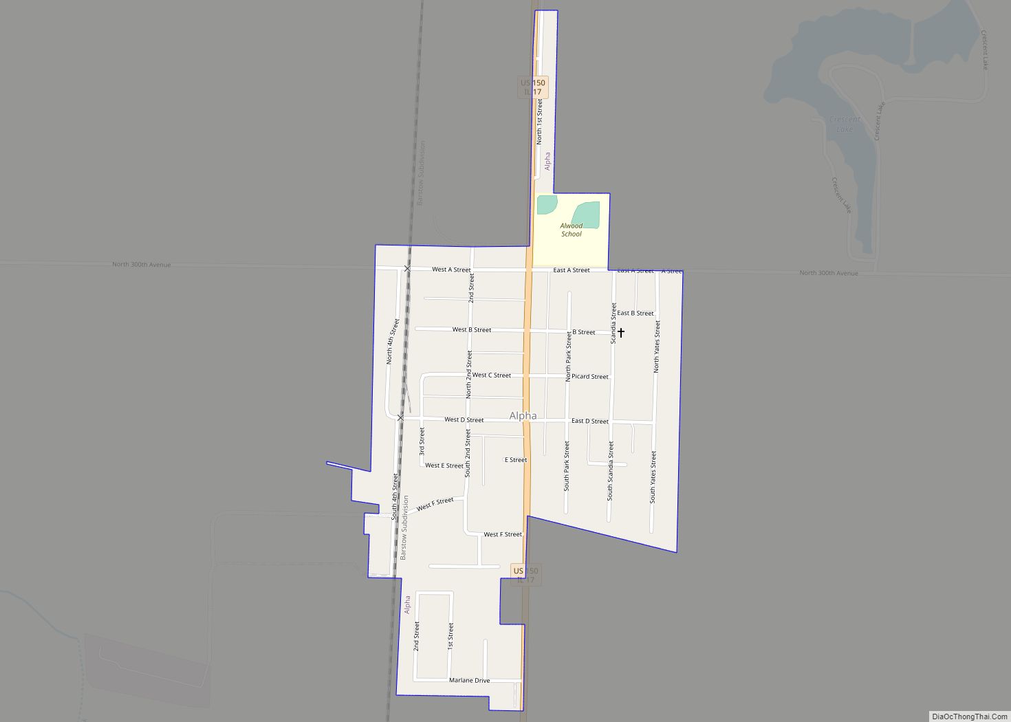
Alpha is a village in Henry County, Illinois, United States. The population was 671 at the 2010 census, down from 726 in 2000. Alpha village overview: Name: Alpha village LSAD Code: 47 LSAD Description: village (suffix) State: Illinois County: Henry County Total Area: 0.31 sq mi (0.81 km²) Land Area: 0.31 sq mi (0.81 km²) Water Area: 0.00 sq mi (0.00 km²) Total Population: ... Read more
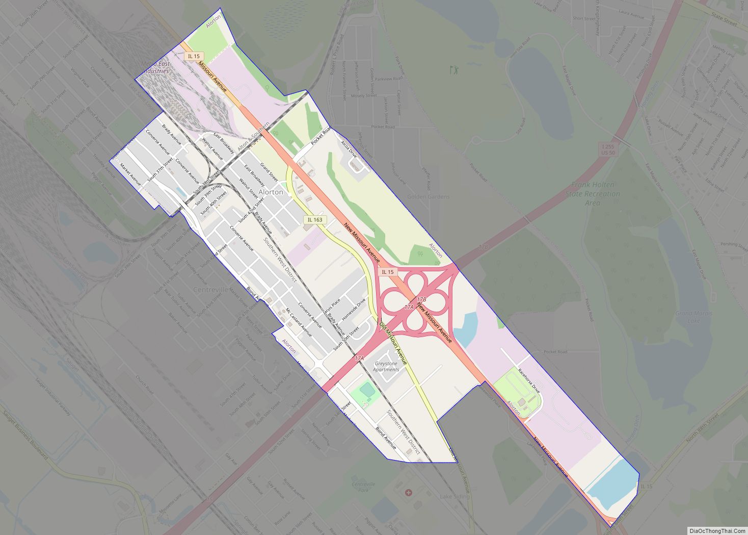
Alorton (formerly Alcoa) was a village in St. Clair County, Illinois, United States. Incorporated in 1944, it was one of three municipalities that merged to form the city of Cahokia Heights on May 6, 2021; the other two were the village of Cahokia and the city of Centreville. Prior to merger, Alorton had a population ... Read more
Andover is a village in Henry County, Illinois, United States. The population was 578 at the 2010 census, down from 594 in 2000. Andover village overview: Name: Andover village LSAD Code: 47 LSAD Description: village (suffix) State: Illinois County: Henry County Total Area: 0.99 sq mi (2.57 km²) Land Area: 0.99 sq mi (2.57 km²) Water Area: 0.00 sq mi (0.00 km²) Total Population: ... Read more
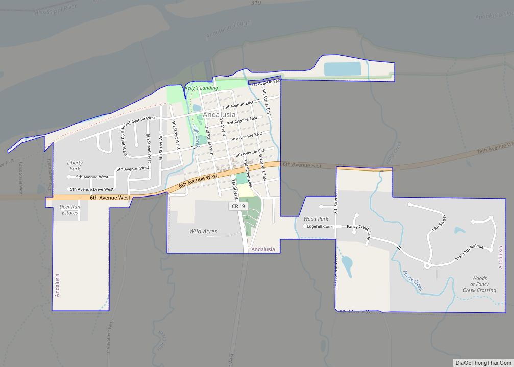
Andalusia is a village in Rock Island County, Illinois, United States. The population was 1,178 at the 2010 census, an increase from 1,050 in 2000. Andalusia village overview: Name: Andalusia village LSAD Code: 47 LSAD Description: village (suffix) State: Illinois County: Rock Island County Total Area: 1.18 sq mi (3.04 km²) Land Area: 1.18 sq mi (3.04 km²) Water Area: 0.00 sq mi ... Read more
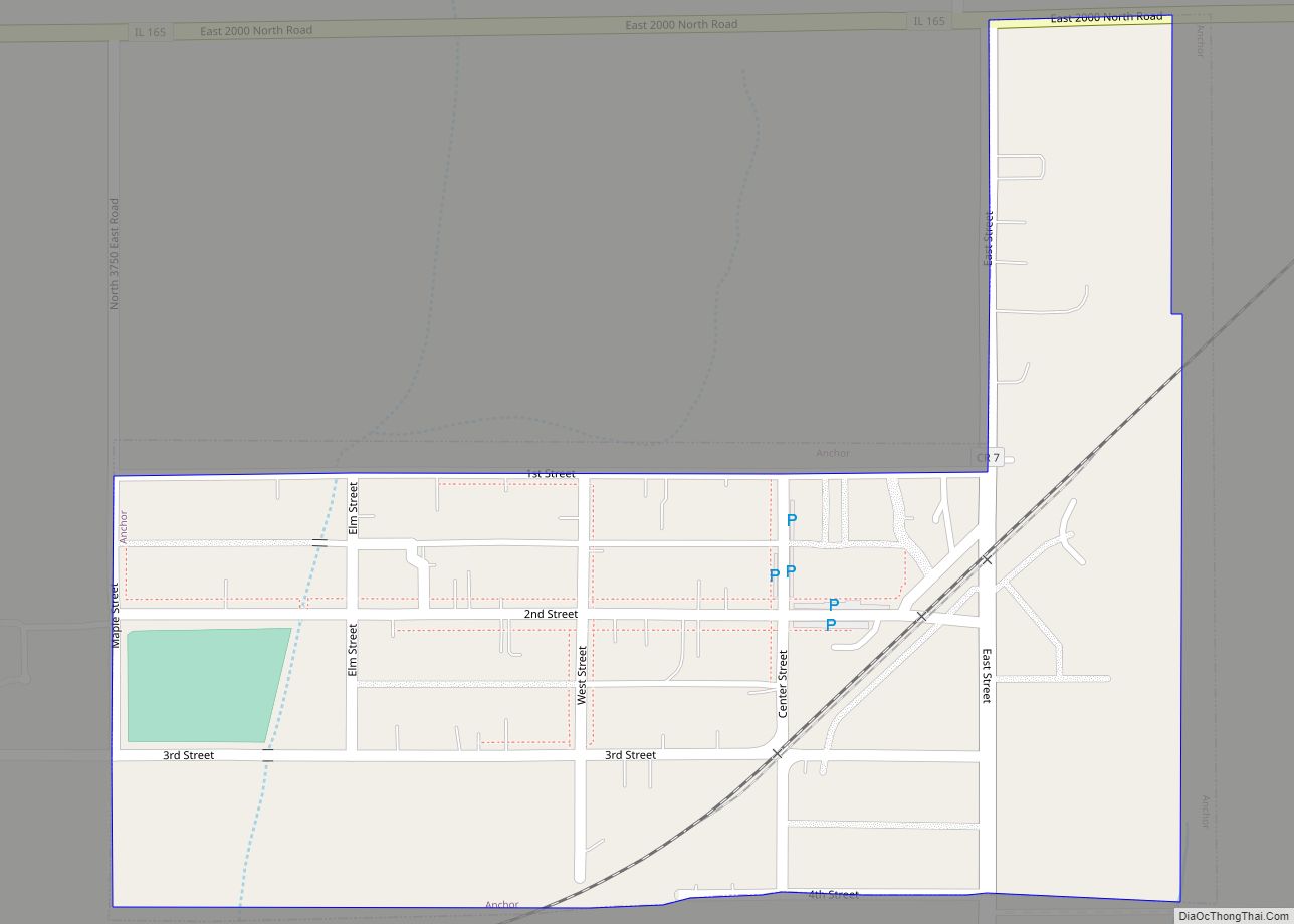
Anchor is a village in McLean County, Illinois, United States. The population was 163 at the 2020 census. It is part of the Bloomington–Normal Metropolitan Statistical Area. Anchor village overview: Name: Anchor village LSAD Code: 47 LSAD Description: village (suffix) State: Illinois County: McLean County Elevation: 774 ft (236 m) Total Area: 0.17 sq mi (0.44 km²) Land Area: 0.17 sq mi ... Read more
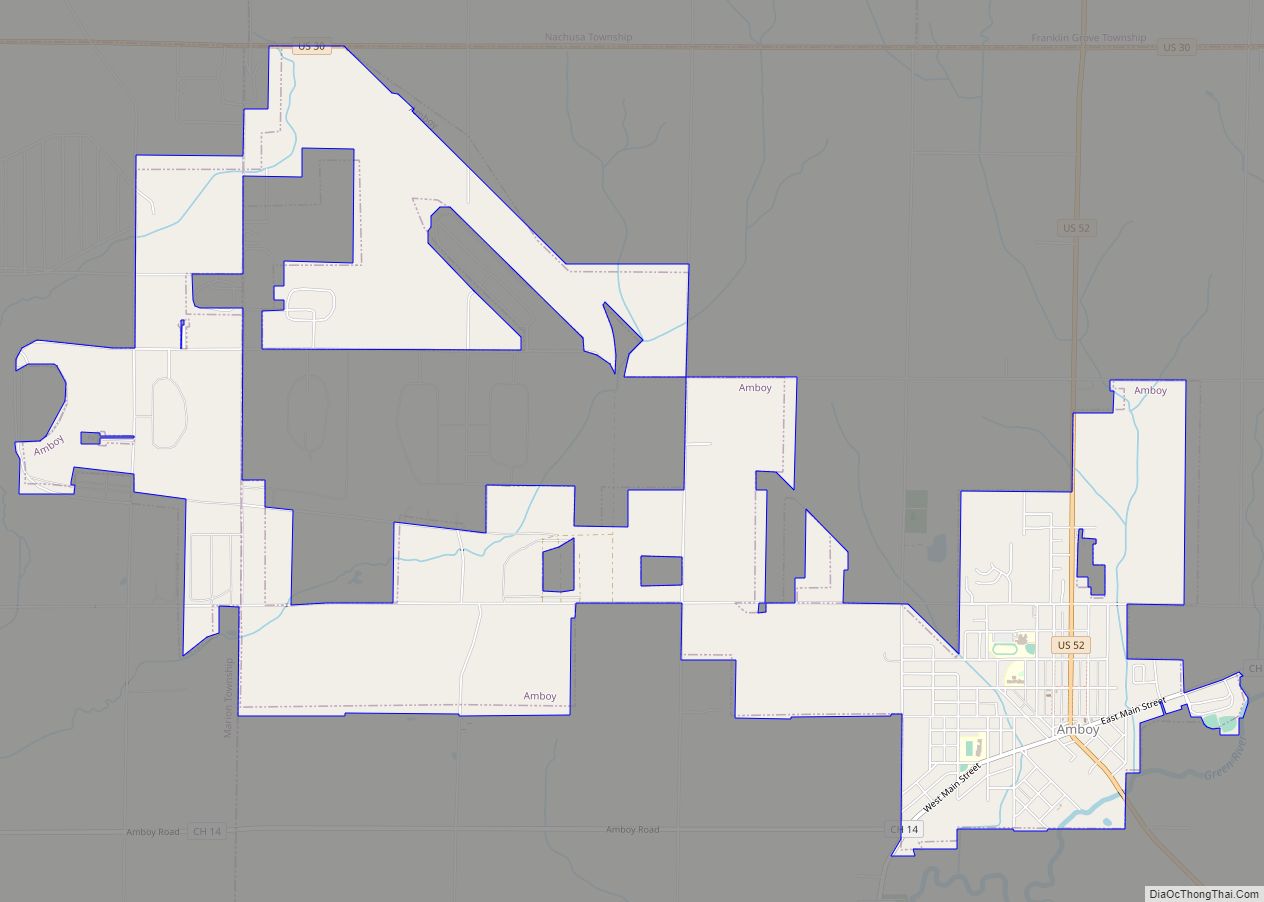
Amboy is a city in Lee County, Illinois, United States, along the Green River. The population was 2,500 at the 2010 census. The chain of Carson Pirie Scott & Co. began in Amboy when Samuel Carson opened his first dry goods store there in 1854. The Christian denomination Community of Christ, formerly the Reorganized Church ... Read more
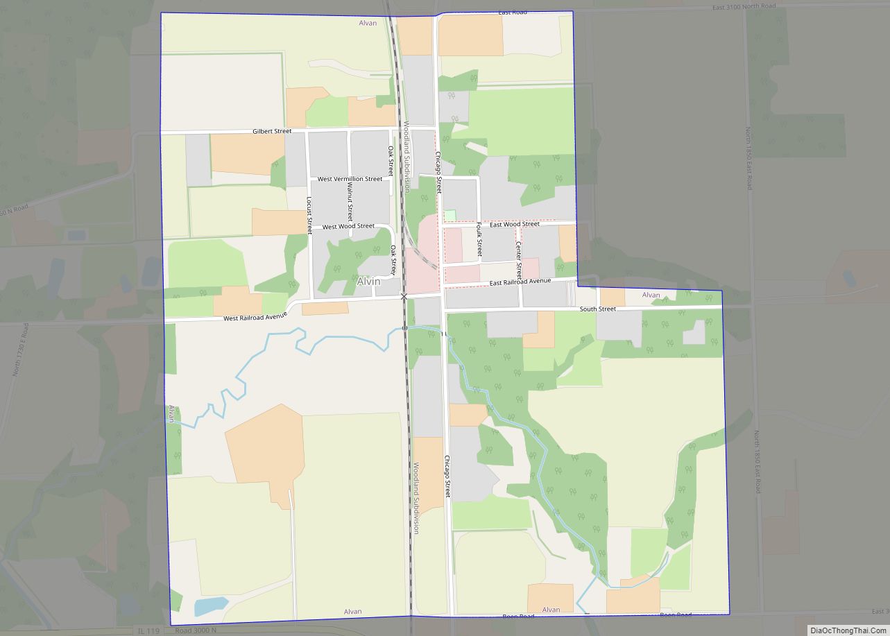
Alvan village overview: Name: Alvan village LSAD Code: 47 LSAD Description: village (suffix) State: Illinois County: Vermilion County FIPS code: 1701242 Online Interactive Map Alvan online map. Source: Basemap layers from Google Map, Open Street Map (OSM), Arcgisonline, Wmflabs. Boundary Data from Database of Global Administrative Areas. Alvan location map. Where is Alvan village? Alvan ... Read more
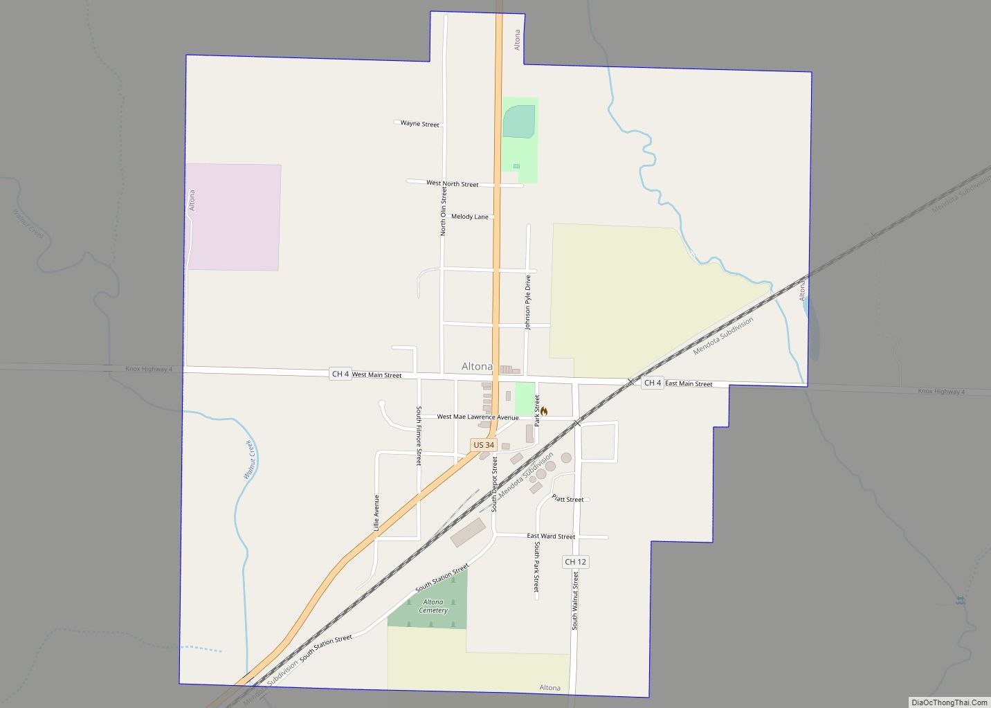
Altona (formerly LaPier & Walnut Grove) is a village in Knox County, Illinois, United States. The population was 531 at the 2010 census, down from 570 in 2000. It is part of the Galesburg Micropolitan Statistical Area. Altona village overview: Name: Altona village LSAD Code: 47 LSAD Description: village (suffix) State: Illinois County: Knox County ... Read more
Alton (/ˈɔːltən/ AWL-tən) is a city on the Mississippi River in Madison County, Illinois, United States, about 18 miles (29 km) north of St. Louis, Missouri. The population was 25,676 at the 2020 census. It is a part of the River Bend area in the Metro-East region of the Greater St. Louis metropolitan area. It is ... Read more
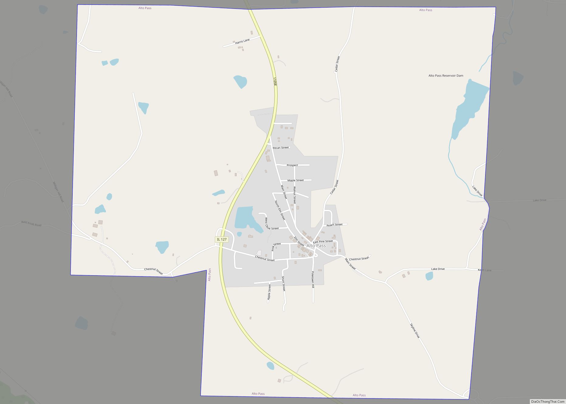
Alto Pass is a village in Union County, Illinois, United States. The population was 391 at the 2010 census, an increase from 388 in 2000. The Bald Knob Cross and Bald Knob Wilderness are nearby. Alto Pass lies roughly 5.1 miles to the northwest of downtown Cobden, Illinois. Alto Pass village overview: Name: Alto Pass ... Read more
Altamont is a city in Effingham County, Illinois, United States. The population was 2,216 at the 2020 census. Altamont is part of the Effingham, Illinois Micropolitan Statistical Area. Altamont city overview: Name: Altamont city LSAD Code: 25 LSAD Description: city (suffix) State: Illinois County: Effingham County Elevation: 617 ft (188 m) Total Area: 1.49 sq mi (3.86 km²) Land Area: ... Read more
