Altamont is a city in Effingham County, Illinois, United States. The population was 2,216 at the 2020 census. Altamont is part of the Effingham, Illinois Micropolitan Statistical Area.
| Name: | Altamont city |
|---|---|
| LSAD Code: | 25 |
| LSAD Description: | city (suffix) |
| State: | Illinois |
| County: | Effingham County |
| Elevation: | 617 ft (188 m) |
| Total Area: | 1.49 sq mi (3.86 km²) |
| Land Area: | 1.49 sq mi (3.86 km²) |
| Water Area: | 0.00 sq mi (0.00 km²) |
| Total Population: | 2,216 |
| Population Density: | 1,488.25/sq mi (574.71/km²) |
| Area code: | 618 |
| FIPS code: | 1701049 |
| Website: | www.altamontil.net |
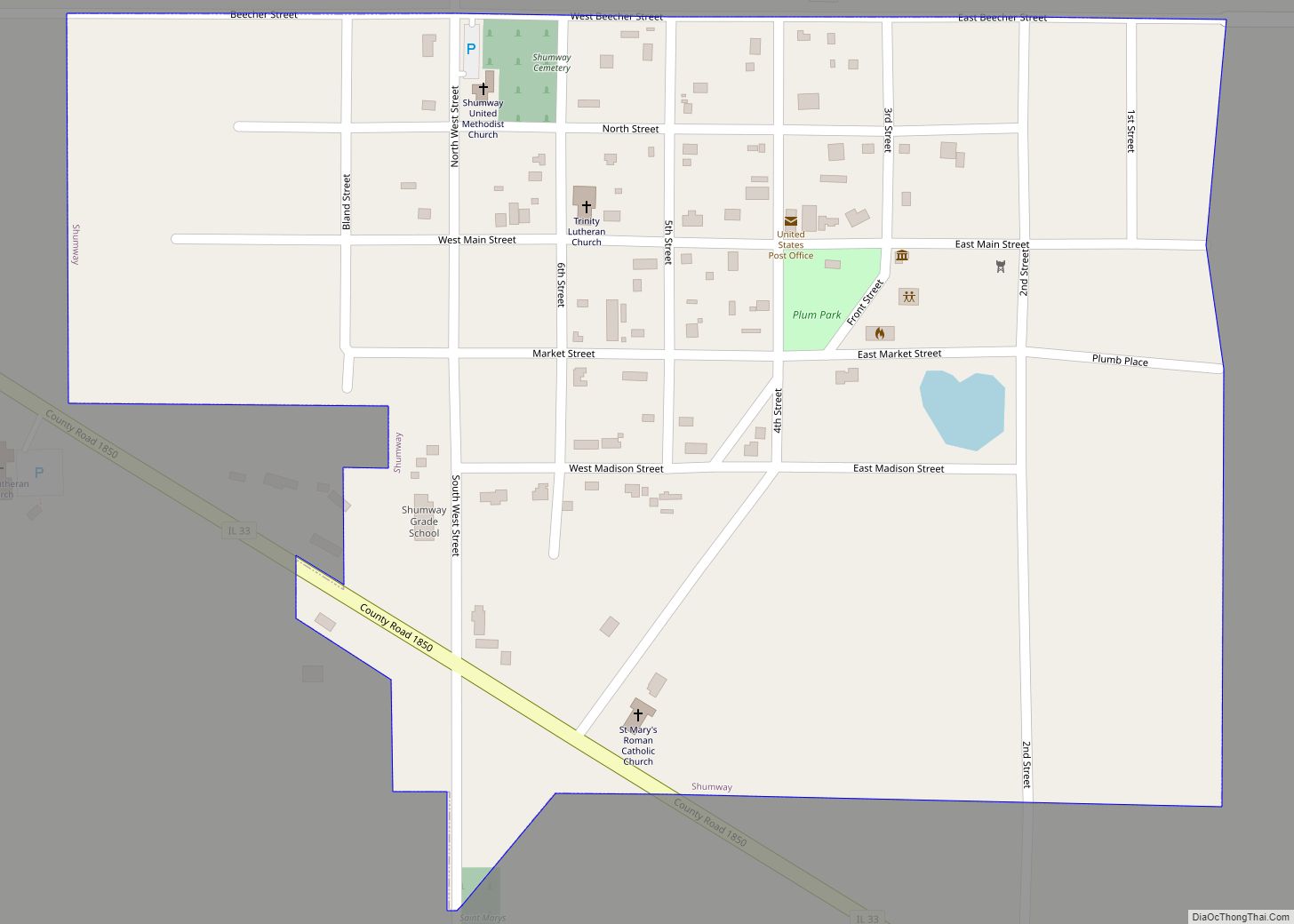
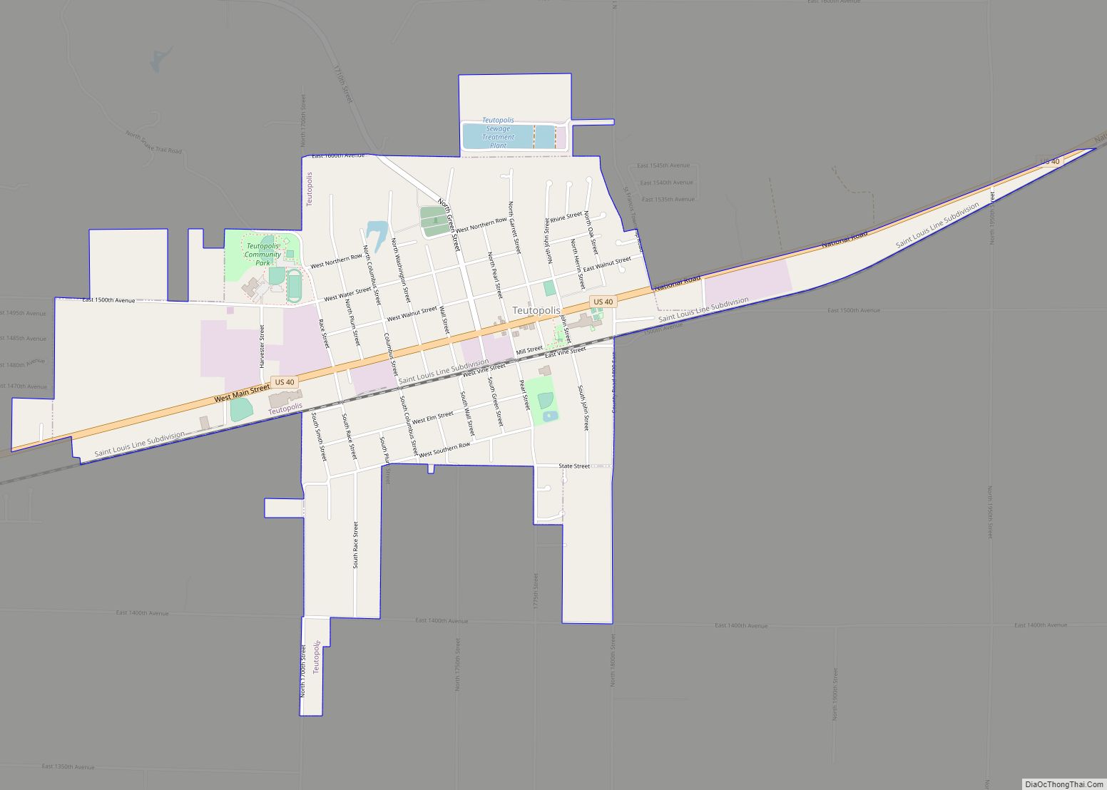
Online Interactive Map
Click on ![]() to view map in "full screen" mode.
to view map in "full screen" mode.
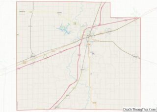
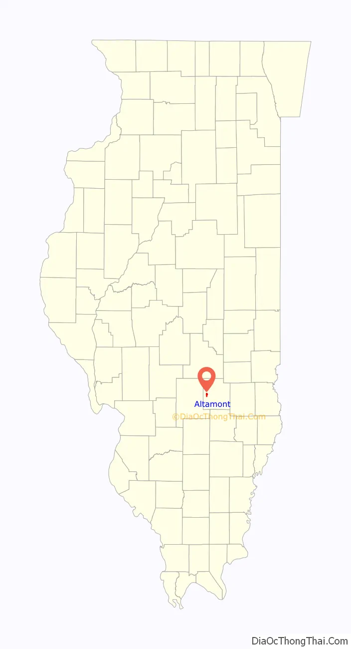
Altamont location map. Where is Altamont city?

History
Legend says Griffin Tipsword came to live with the Kickapoo Indians, who were indifferent to the coming of a Caucasian man. Tipsword was white by birth and Native American by adoption. He was a pioneer, a missionary preacher, hunter and medicine man among the Native Americans. Tipsword’s family name was Sowards. He called himself Tipsword after coming to Illinois. Tipsword was a veteran of the Revolutionary War, first fighting at Ramsour’s Mill in the Carolinas. Griffin died in 1845 and was buried on the banks of Wolff Creek (Tipsword family cemetery, Effingham), leaving three sons, John, Isaac, and Thomas, who left many descendants in the area.
Altamont, the “City of Plain”, was laid out in Mound Township, considered the richest and best township in Effingham County – being mostly prairies and farm ground – slightly rolling along Big Creek, Coon Creek, and Second Creek. Mound Township was settled early by German immigrants from the Rhine by way of Pennsylvania and Ohio.
The name “Altamont”, like “Mound Township”, was bestowed by J.W. Conlogue because of the elevation or “mound” to the northwest. The first part of the word means altitude, the second mount or mound. Conlogue was a romantic, naming his town from Latin.
In History of Effingham County, editor William Henry Perrin wrote in 1883: “The name of Mound Township was bestowed upon it in consequence of what is known as the neighborhood of Blue Mound, a slight elevation of Section 8, which is nearly all a kind of mound, the apex being in the center of the section, and having an altitude of seventy-eight feet above the bed of the Vandalia Railroad, which passes near it. Recently, the Government has erected a signal observatory upon it, some seventy-five to one hundred feet in height, from the top of which one may look across the States of Missouri and Arkansas and see the cowboys watching their herds on the prairies of Texas.”
There had been a trading center called Montville on the bank of the creek south of what is now Altamont (Southmore Heights). The postmaster was G.H. Milleville and in 1871 the post office moved to this new place called Altamont. Altamont was organized as a town in 1871.
On August 8, 1872, Altamont adopted the village form of government, with a mayor and four council members. On April 16, 1901, the voters adopted a city form of government and became the City of Altamont.
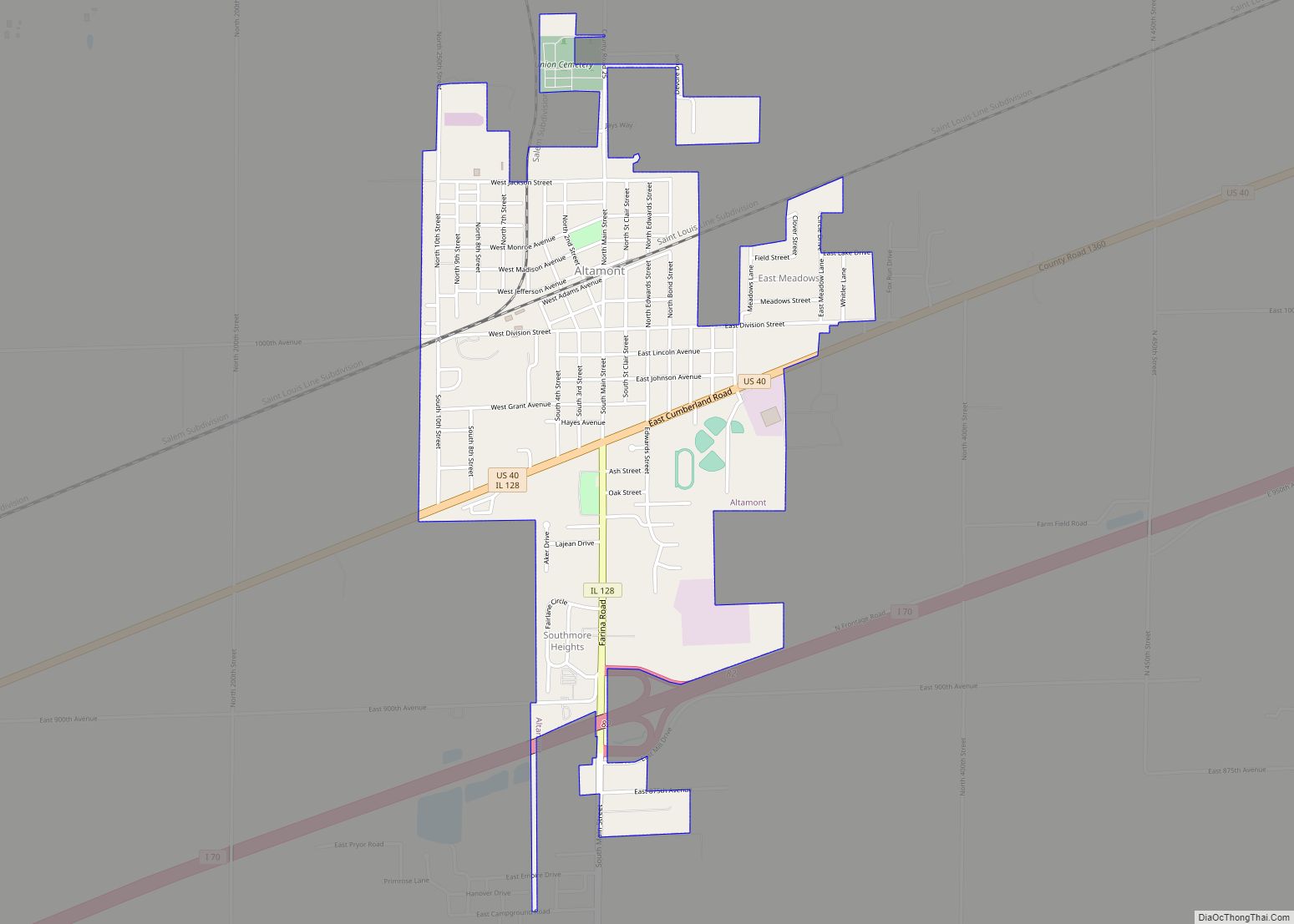
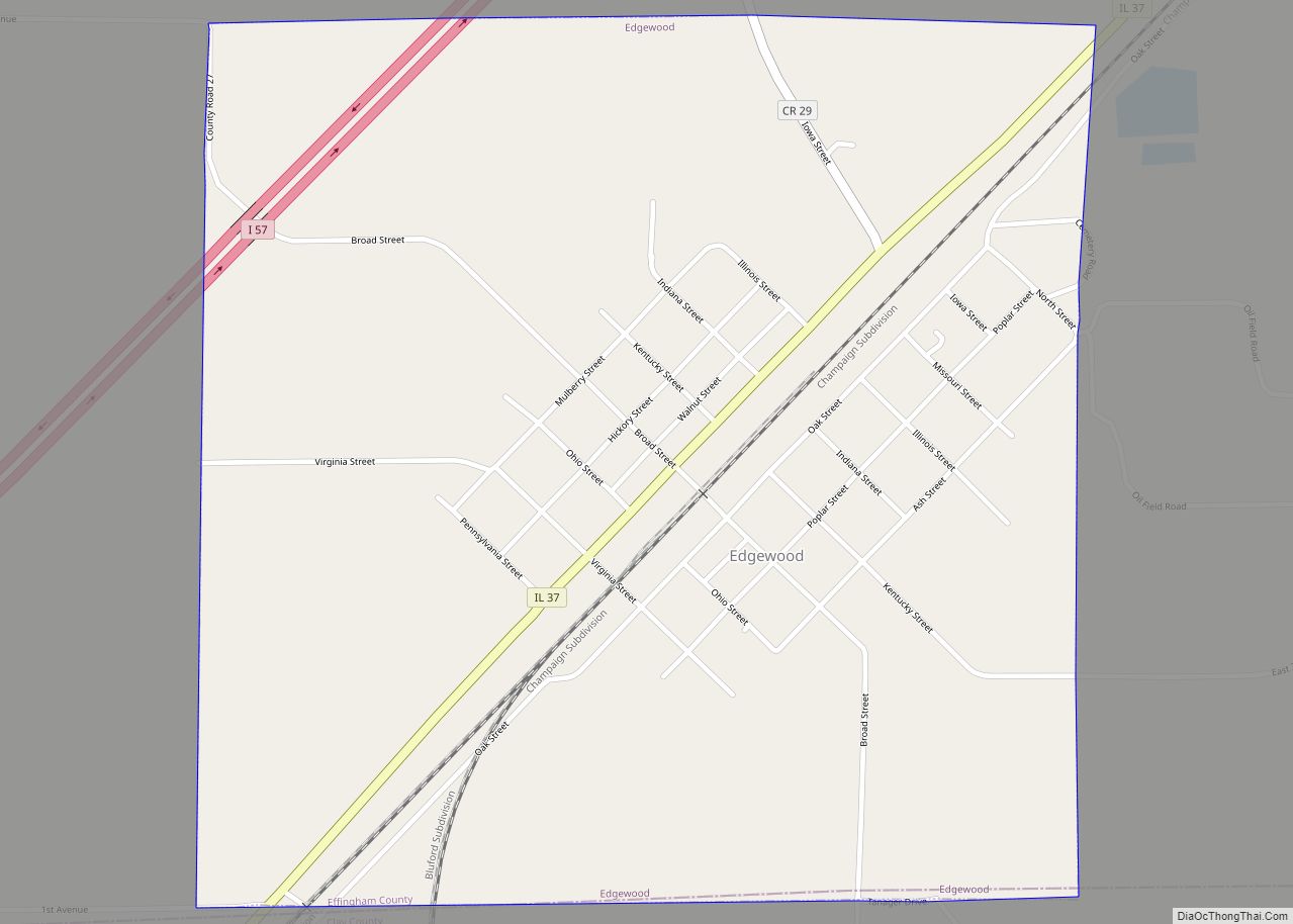
Altamont Road Map
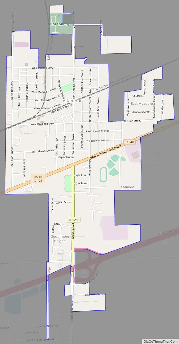
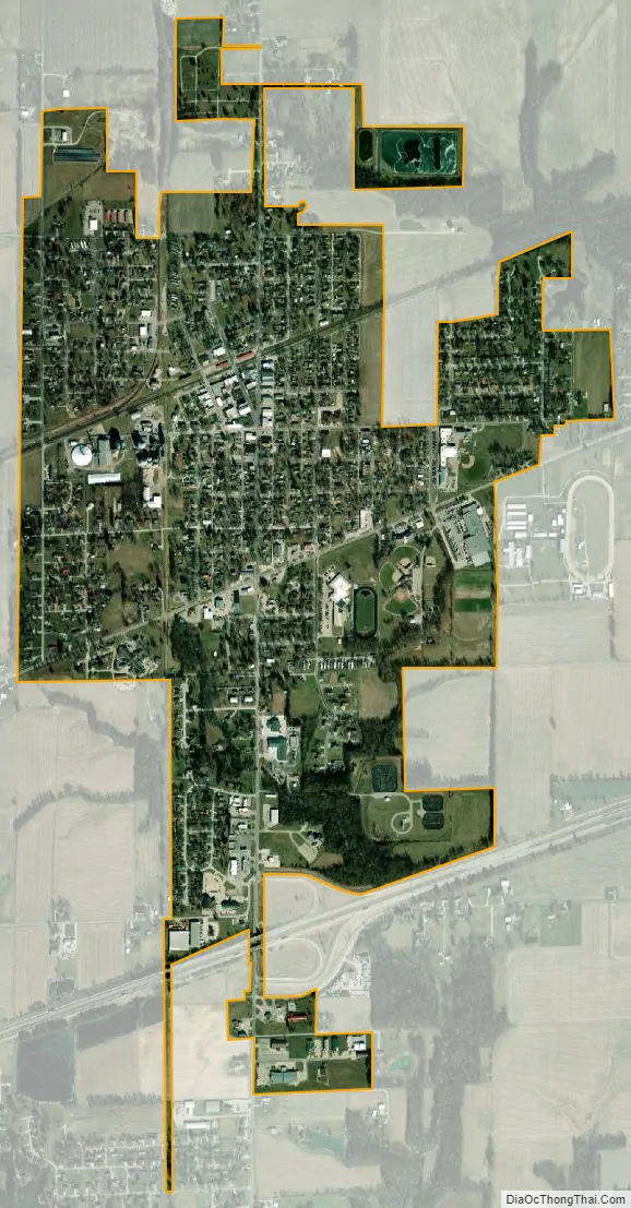
Altamont city Satellite Map
Geography
Altamont is at 39°3′25″N 88°44′51″W / 39.05694°N 88.74750°W / 39.05694; -88.74750 (39.0569861, -88.7474670 ). According to the 2010 census, Altamont has a total area of 1.41 square miles (3.65 km), all land.
See also
Map of Illinois State and its subdivision:- Adams
- Alexander
- Bond
- Boone
- Brown
- Bureau
- Calhoun
- Carroll
- Cass
- Champaign
- Christian
- Clark
- Clay
- Clinton
- Coles
- Cook
- Crawford
- Cumberland
- De Kalb
- De Witt
- Douglas
- Dupage
- Edgar
- Edwards
- Effingham
- Fayette
- Ford
- Franklin
- Fulton
- Gallatin
- Greene
- Grundy
- Hamilton
- Hancock
- Hardin
- Henderson
- Henry
- Iroquois
- Jackson
- Jasper
- Jefferson
- Jersey
- Jo Daviess
- Johnson
- Kane
- Kankakee
- Kendall
- Knox
- La Salle
- Lake
- Lake Michigan
- Lawrence
- Lee
- Livingston
- Logan
- Macon
- Macoupin
- Madison
- Marion
- Marshall
- Mason
- Massac
- McDonough
- McHenry
- McLean
- Menard
- Mercer
- Monroe
- Montgomery
- Morgan
- Moultrie
- Ogle
- Peoria
- Perry
- Piatt
- Pike
- Pope
- Pulaski
- Putnam
- Randolph
- Richland
- Rock Island
- Saint Clair
- Saline
- Sangamon
- Schuyler
- Scott
- Shelby
- Stark
- Stephenson
- Tazewell
- Union
- Vermilion
- Wabash
- Warren
- Washington
- Wayne
- White
- Whiteside
- Will
- Williamson
- Winnebago
- Woodford
- Alabama
- Alaska
- Arizona
- Arkansas
- California
- Colorado
- Connecticut
- Delaware
- District of Columbia
- Florida
- Georgia
- Hawaii
- Idaho
- Illinois
- Indiana
- Iowa
- Kansas
- Kentucky
- Louisiana
- Maine
- Maryland
- Massachusetts
- Michigan
- Minnesota
- Mississippi
- Missouri
- Montana
- Nebraska
- Nevada
- New Hampshire
- New Jersey
- New Mexico
- New York
- North Carolina
- North Dakota
- Ohio
- Oklahoma
- Oregon
- Pennsylvania
- Rhode Island
- South Carolina
- South Dakota
- Tennessee
- Texas
- Utah
- Vermont
- Virginia
- Washington
- West Virginia
- Wisconsin
- Wyoming