Map of Gorham village

Map of Gorham village, Illinois

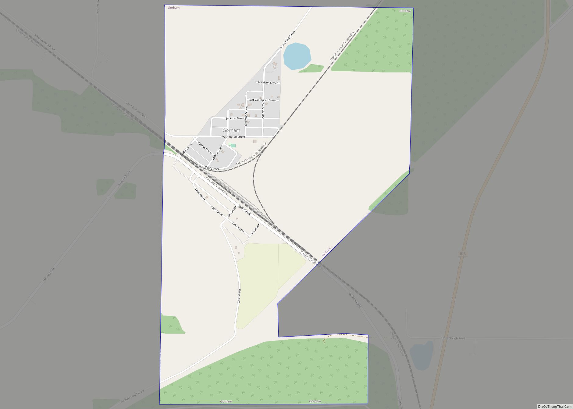
Gorham is a village in Jackson County, Illinois, United States. The population was 236 at the 2010 census. It is known locally for its near-annihilation during the deadly Tri-State Tornado of 1925. Gorham village overview: Name: Gorham village LSAD Code: 47 LSAD Description: village (suffix) State: Illinois County: Jackson County Elevation: 364 ft (111 m) Total Area: … Read more

Map of Grand Ridge village, Illinois

Map of Grand Ridge village, Illinois

Grand Ridge is a village in LaSalle County, Illinois, United States. The population was 515 at the 2020 census, down from 560 in 2010. It is part of the Ottawa Micropolitan Statistical Area. Grand Ridge village overview: Name: Grand Ridge village LSAD Code: 47 LSAD Description: village (suffix) State: Illinois County: LaSalle County Elevation: 650 ft … Read more

Map of Grand Detour CDP

Map of Grand Detour CDP

Grand Detour is an unincorporated census-designated place in Ogle County, Illinois, United States. As of the 2010 census, its population was 429. The village is named after an odd turn in the Rock River, which flows north past the village, rather than its normal southwestern course. John Deere invented the steel plow in Grand Detour, … Read more

Map of Grandview village, Illinois

Map of Grandview village, Illinois

Grandview is a village in Sangamon County, Illinois, United States. The population was 1,441 at the 2010 census. It is part of the Springfield, Illinois Metropolitan Statistical Area. Grandview village overview: Name: Grandview village LSAD Code: 47 LSAD Description: village (suffix) State: Illinois County: Sangamon County Total Area: 0.34 sq mi (0.87 km²) Land Area: 0.34 sq mi (0.87 km²) Water … Read more

Map of Grand Tower city

Map of Grand Tower city

Grand Tower is a city in Jackson County, Illinois, United States. The population was 605 at the 2010 census. The town gets its name from Tower Rock, a landmark island in the Mississippi River. Grand Tower city overview: Name: Grand Tower city LSAD Code: 25 LSAD Description: city (suffix) State: Illinois County: Jackson County Elevation: … Read more

Map of Granite City city

Map of Granite City

Granite City is a city in Madison County, Illinois, United States, within the Greater St. Louis metropolitan area. The population was 27,549 at the 2020 census, making it the third-largest city in the Metro East and Southern Illinois regions, behind Belleville and O’Fallon. Officially founded in 1896, Granite City was named by the Niedringhaus brothers, … Read more

Map of Grandwood Park CDP

Map of Grandwood Park CDP

Grandwood Park CDP overview: Name: Grandwood Park CDP LSAD Code: 57 LSAD Description: CDP (suffix) State: Illinois County: Lake County FIPS code: 1730900 Online Interactive Map Grandwood Park online map. Source: Basemap layers from Google Map, Open Street Map (OSM), Arcgisonline, Wmflabs. Boundary Data from Database of Global Administrative Areas. Grandwood Park location map. Where … Read more

Map of Grantfork village

Map of Grantfork village

Grantfork is a village in Madison County, Illinois, United States. The population was 341 as of the 2020 census. It is part of the St. Louis Metropolitan Area. Grantfork village overview: Name: Grantfork village LSAD Code: 47 LSAD Description: village (suffix) State: Illinois County: Madison County Elevation: 535 ft (163 m) Total Area: 0.38 sq mi (0.97 km²) Land Area: … Read more

Map of Grant Park village

Map of Grant Park village

Grant Park is a village in northeastern Kankakee County, Illinois, United States. Grant Park was incorporated in 1883. In 2010, Grant Park had a population of 1,331. It is part of the Kankakee–Bradley Metropolitan Statistical Area. Much of the town was destroyed by a cyclone in 1912, according to Frank Leslie’s Weekly magazine, which ran … Read more

Map of Grayslake village

Map of Grayslake village

Grayslake is a village in Lake County, Illinois, United States. It is located in the Chicago metropolitan area, about 40 miles (64 km) north of Chicago’s downtown, 14 miles (23 km) west of Lake Michigan, and 15 miles (24 km) south of the Wisconsin border. The village’s population at the 2020 census was 21,248. Grayslake is home to … Read more

Map of Granville village, Illinois

Map of Granville village, Illinois

Granville is a village in Putnam County, Illinois, United States. The population was 1,427 at the 2010 census, up from 1,414 in 2000, making it the largest community in Putnam County. It is part of the Ottawa Micropolitan Statistical Area. Granville village overview: Name: Granville village LSAD Code: 47 LSAD Description: village (suffix) State: Illinois … Read more

Map of Green Oaks village

Map of Green Oaks village

Green Oaks is a village in Libertyville Township, Lake County, Illinois, United States. Per the 2020 census, the population was 4,128. Green Oaks village overview: Name: Green Oaks village LSAD Code: 47 LSAD Description: village (suffix) State: Illinois County: Lake County Total Area: 4.10 sq mi (10.61 km²) Land Area: 3.99 sq mi (10.34 km²) Water Area: 0.10 sq mi (0.27 km²) Total Population: … Read more