Green Oaks is a village in Libertyville Township, Lake County, Illinois, United States. Per the 2020 census, the population was 4,128.
| Name: | Green Oaks village |
|---|---|
| LSAD Code: | 47 |
| LSAD Description: | village (suffix) |
| State: | Illinois |
| County: | Lake County |
| Total Area: | 4.10 sq mi (10.61 km²) |
| Land Area: | 3.99 sq mi (10.34 km²) |
| Water Area: | 0.10 sq mi (0.27 km²) |
| Total Population: | 4,128 |
| Population Density: | 1,034.33/sq mi (399.36/km²) |
| Area code: | 847 |
| FIPS code: | 1731446 |
| Website: | www.greenoaks.org |
Online Interactive Map
Click on ![]() to view map in "full screen" mode.
to view map in "full screen" mode.
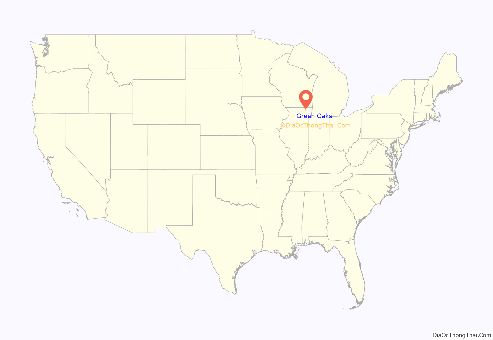
Green Oaks location map. Where is Green Oaks village?
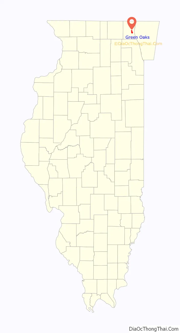
Green Oaks Road Map

Green Oaks city Satellite Map

Geography
Green Oaks is located at 42°17′20″N 87°54′41″W / 42.28889°N 87.91139°W / 42.28889; -87.91139 (42.289106, -87.911499).
According to the 2010 census, Green Oaks has a total area of 4.123 square miles (10.68 km), of which 4.02 square miles (10.41 km) (or 97.5%) is land and 0.103 square miles (0.27 km) (or 2.5%) is water.
Major streets
- Tri-State Tollway
- Buckley Road
- Park Avenue/Rockland Road
- O’Plaine Road
- St. Mary’s Road
- Bradley Road
- Atkinson Road
Public schools serving Green Oaks
- Rondout School District 72
- Oak Grove School District 68
- Libertyville High School (District 128)
See also
Map of Illinois State and its subdivision:- Adams
- Alexander
- Bond
- Boone
- Brown
- Bureau
- Calhoun
- Carroll
- Cass
- Champaign
- Christian
- Clark
- Clay
- Clinton
- Coles
- Cook
- Crawford
- Cumberland
- De Kalb
- De Witt
- Douglas
- Dupage
- Edgar
- Edwards
- Effingham
- Fayette
- Ford
- Franklin
- Fulton
- Gallatin
- Greene
- Grundy
- Hamilton
- Hancock
- Hardin
- Henderson
- Henry
- Iroquois
- Jackson
- Jasper
- Jefferson
- Jersey
- Jo Daviess
- Johnson
- Kane
- Kankakee
- Kendall
- Knox
- La Salle
- Lake
- Lake Michigan
- Lawrence
- Lee
- Livingston
- Logan
- Macon
- Macoupin
- Madison
- Marion
- Marshall
- Mason
- Massac
- McDonough
- McHenry
- McLean
- Menard
- Mercer
- Monroe
- Montgomery
- Morgan
- Moultrie
- Ogle
- Peoria
- Perry
- Piatt
- Pike
- Pope
- Pulaski
- Putnam
- Randolph
- Richland
- Rock Island
- Saint Clair
- Saline
- Sangamon
- Schuyler
- Scott
- Shelby
- Stark
- Stephenson
- Tazewell
- Union
- Vermilion
- Wabash
- Warren
- Washington
- Wayne
- White
- Whiteside
- Will
- Williamson
- Winnebago
- Woodford
- Alabama
- Alaska
- Arizona
- Arkansas
- California
- Colorado
- Connecticut
- Delaware
- District of Columbia
- Florida
- Georgia
- Hawaii
- Idaho
- Illinois
- Indiana
- Iowa
- Kansas
- Kentucky
- Louisiana
- Maine
- Maryland
- Massachusetts
- Michigan
- Minnesota
- Mississippi
- Missouri
- Montana
- Nebraska
- Nevada
- New Hampshire
- New Jersey
- New Mexico
- New York
- North Carolina
- North Dakota
- Ohio
- Oklahoma
- Oregon
- Pennsylvania
- Rhode Island
- South Carolina
- South Dakota
- Tennessee
- Texas
- Utah
- Vermont
- Virginia
- Washington
- West Virginia
- Wisconsin
- Wyoming


