Map of Mahomet village

Map of Mahomet village

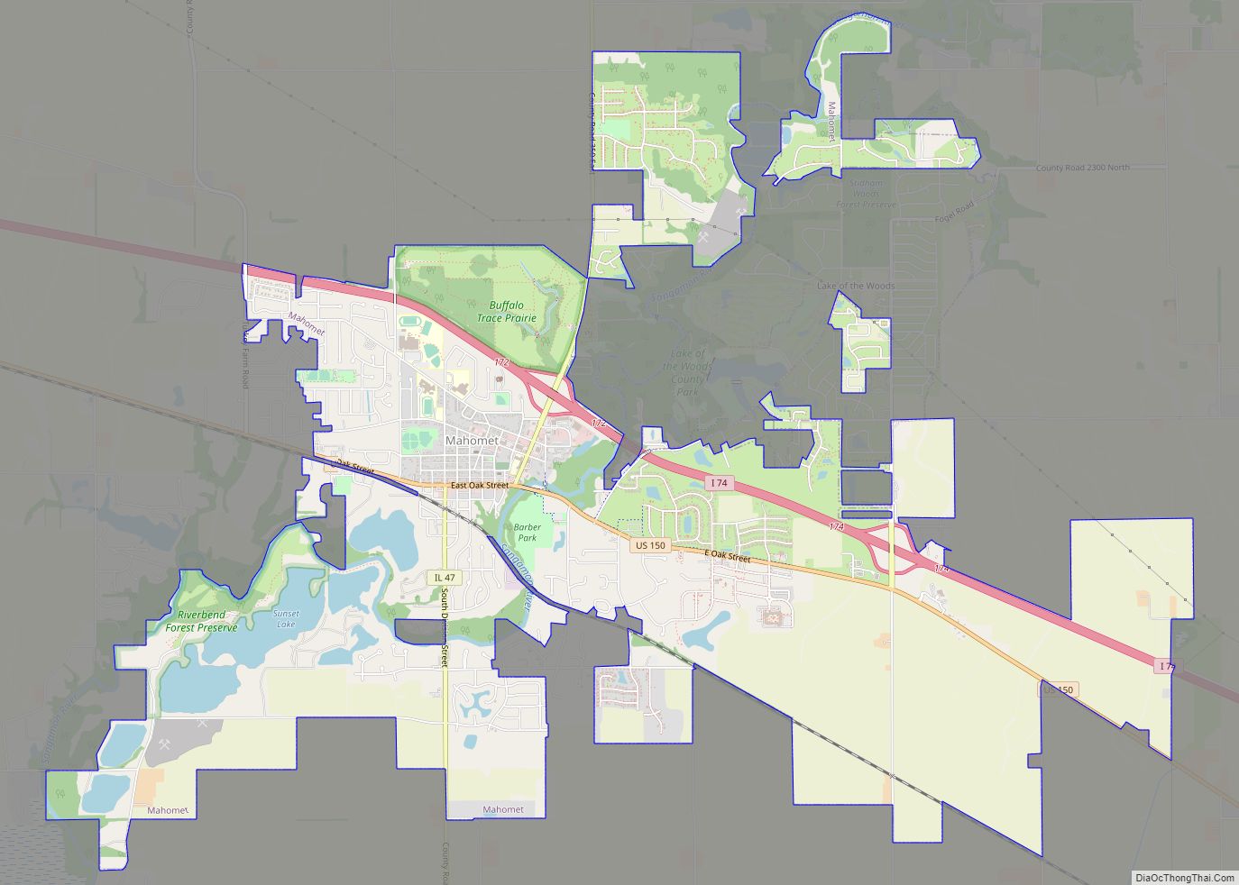
Mahomet (/məˈhɒmɪt/) is a village in Champaign County, Illinois, United States. The population was 9,434 at the 2020 census. Mahomet is located approximately 10 miles northwest of Champaign at the junction of Interstate 74 and IL 47. Mahomet village overview: Name: Mahomet village LSAD Code: 47 LSAD Description: village (suffix) State: Illinois County: Champaign County … Read more

Map of Malta village, Illinois

Map of Malta village, Illinois

Malta is a village in DeKalb County, Illinois, United States. The population was 1,143 at the 2020 census. Malta village overview: Name: Malta village LSAD Code: 47 LSAD Description: village (suffix) State: Illinois County: DeKalb County Total Area: 0.64 sq mi (1.65 km²) Land Area: 0.61 sq mi (1.59 km²) Water Area: 0.02 sq mi (0.06 km²) Total Population: 1,143 Population Density: 1,858.54/sq mi (717.59/km²) … Read more

Map of Malden village

Map of Malden village, Illinois

Malden is a village in Bureau County, Illinois, United States. The population was 318 at the 2010 census. It is part of the Ottawa Micropolitan Statistical Area. Malden village overview: Name: Malden village LSAD Code: 47 LSAD Description: village (suffix) State: Illinois County: Bureau County Total Area: 0.27 sq mi (0.71 km²) Land Area: 0.27 sq mi (0.71 km²) Water Area: … Read more

Map of Manhattan village

Map of Manhattan village, Illinois

Manhattan (/mænˈhætən/MANN-haton) is a village in Will County, Illinois. The population was 9,385 at the time of the 2020 census. The U.S. Census Bureau estimates the population to be 10,037 As of July 2021. The community is located in northeastern Illinois approximately 50 miles (80 km) southwest of Chicago. Manhattan village overview: Name: Manhattan village LSAD Code: … Read more

Map of Manchester village, Illinois

Map of Manchester village, Illinois

Manchester is a village in southeast Scott County, Illinois, United States. As of the 2000 census, the village population was 354. It is part of the Jacksonville Micropolitan Statistical Area. Manchester village overview: Name: Manchester village LSAD Code: 47 LSAD Description: village (suffix) State: Illinois County: Scott County Elevation: 682 ft (208 m) Total Area: 1.06 sq mi (2.75 km²) … Read more

Map of Manlius village

Map of Manlius village, Illinois

Manlius is a village in Bureau County, Illinois, United States. The population was 359 at the 2010 census. It is part of the Ottawa Micropolitan Statistical Area. Manlius village overview: Name: Manlius village LSAD Code: 47 LSAD Description: village (suffix) State: Illinois County: Bureau County Total Area: 0.32 sq mi (0.83 km²) Land Area: 0.32 sq mi (0.83 km²) Water Area: … Read more

Map of Manito village

Map of Manito village

Manito is a village in Mason County, Illinois, United States. The population was 1,552 at the 2020 census, down from 1,642 in 2010. In 2023 a EFU tornado struck NW of the village in the 2023 March 31st-April 1st tornado outbreak Manito village overview: Name: Manito village LSAD Code: 47 LSAD Description: village (suffix) State: … Read more

Map of Manteno village

Map of Manteno village

Manteno is a village in Kankakee County, Illinois, United States. The population was 9,210 at the 2020 census. It is part of the Kankakee-Bourbonnais-Bradley Metropolitan Statistical Area. Manteno village overview: Name: Manteno village LSAD Code: 47 LSAD Description: village (suffix) State: Illinois County: Kankakee County Elevation: 688 ft (210 m) Total Area: 5.38 sq mi (13.9 km²) Land Area: 5.34 sq mi … Read more

Map of Mansfield village, Illinois

Map of Mansfield village, Illinois

Mansfield is a village in Piatt County, Illinois in the United States. The population was 906 at the 2010 census. Mansfield village overview: Name: Mansfield village LSAD Code: 47 LSAD Description: village (suffix) State: Illinois County: Piatt County Elevation: 725 ft (221 m) Total Area: 0.54 sq mi (1.39 km²) Land Area: 0.51 sq mi (1.31 km²) Water Area: 0.03 sq mi (0.07 km²) Total Population: … Read more

Map of Mapleton village, Illinois

Map of Mapleton village, Illinois

Mapleton is a small village in Peoria County, Illinois, United States. The population was 227 at the 2000 census. Mapleton is part of the Peoria, Illinois Metropolitan Statistical Area. There are four different plants in Mapleton, all located along U.S. Route 24: an Evonik chemical plant, a Lonza Group plant, a Caterpillar Inc. foundry, and … Read more

Map of Maple Park village

Map of Maple Park village

Maple Park is a village in DeKalb and Kane counties in the U.S. state of Illinois. The population was 1,433 at the 2020 census, up from 1,310 at the 2010 census. Maple Park was formerly known as Lodi. Maple Park village overview: Name: Maple Park village LSAD Code: 47 LSAD Description: village (suffix) State: Illinois … Read more

Map of Marengo city, Illinois

Map of Marengo city, Illinois

Marengo is a city in McHenry County, Illinois, United States on the Kishwaukee River. It lies approximately 60 miles west northwest of Chicago. Per the 2020 census, the population was 7,568. Marengo city overview: Name: Marengo city LSAD Code: 25 LSAD Description: city (suffix) State: Illinois County: McHenry County Founded: 1835 Elevation: 833 ft (254 m) Total … Read more