Malta is a village in DeKalb County, Illinois, United States. The population was 1,143 at the 2020 census.
| Name: | Malta village |
|---|---|
| LSAD Code: | 47 |
| LSAD Description: | village (suffix) |
| State: | Illinois |
| County: | DeKalb County |
| Total Area: | 0.64 sq mi (1.65 km²) |
| Land Area: | 0.61 sq mi (1.59 km²) |
| Water Area: | 0.02 sq mi (0.06 km²) |
| Total Population: | 1,143 |
| Population Density: | 1,858.54/sq mi (717.59/km²) |
| Area code: | 815 |
| FIPS code: | 1746279 |
| Website: | https://www.villageofmaltail.com/ |
Online Interactive Map
Click on ![]() to view map in "full screen" mode.
to view map in "full screen" mode.
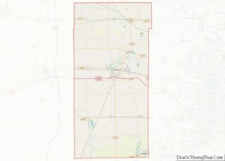
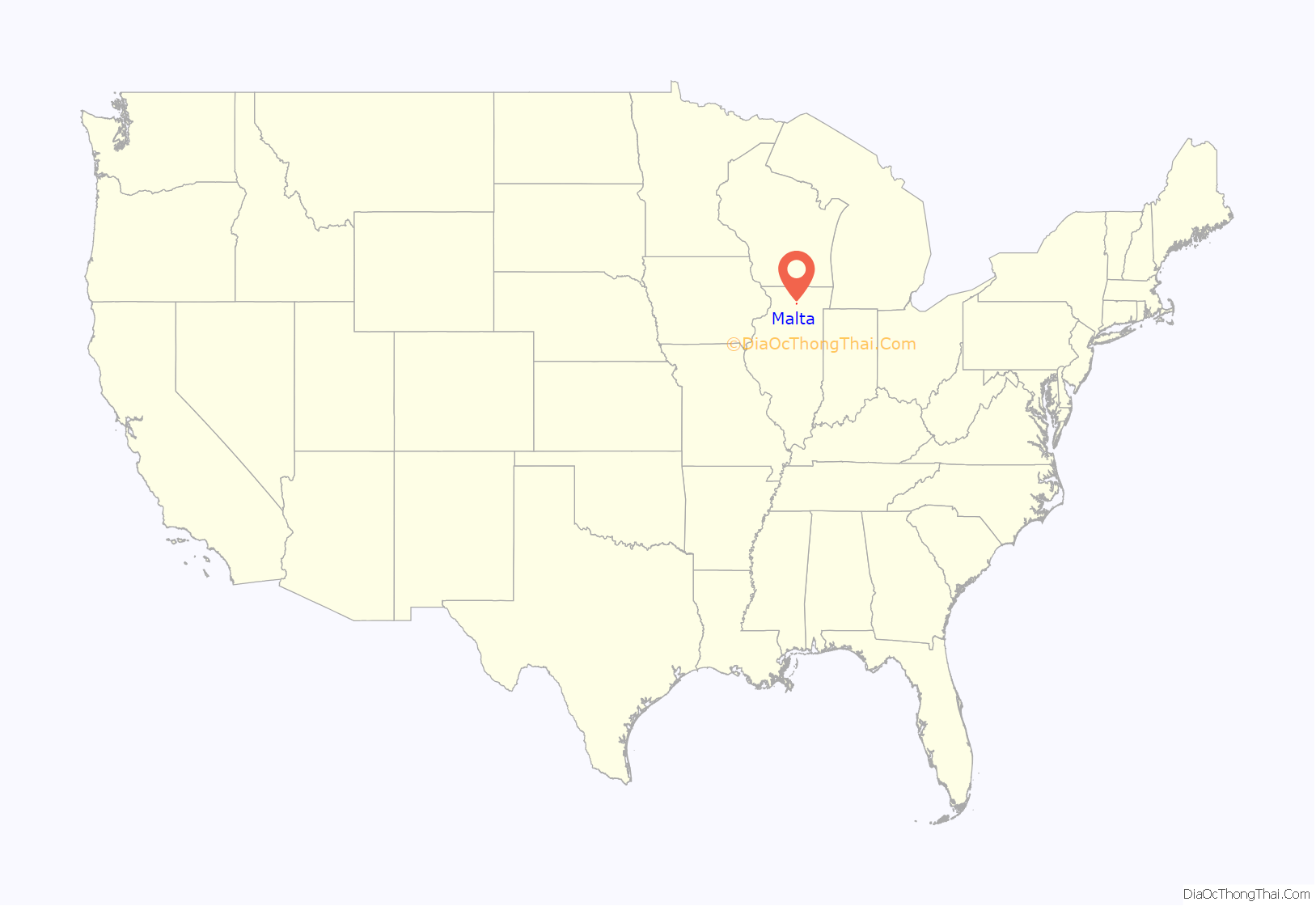
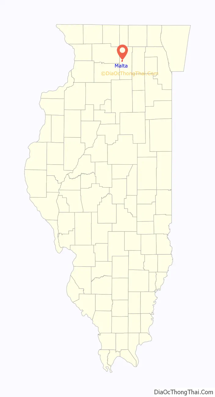
Malta location map. Where is Malta village?
History
Malta was founded in 1855, under the name of Milton. Shortly afterwards, the name was changed to Etna, then Malta after the Galena Railway station that served the village. The present name is after the island of Malta.
Malta was the site of the first “seedling mile” of concrete pavement for the transcontinental Lincoln Highway in 1914. Seedling miles were built to demonstrate construction techniques and generate support for the highway. The pavement extended from the Malta cemetery at the west edge of town to near the present location of Kishwaukee College.
Malta struggled financially until the end of World War I, when an influx of new residents to the area arrived. Currently, Malta is a farming community and also supports nearby Kishwaukee College.
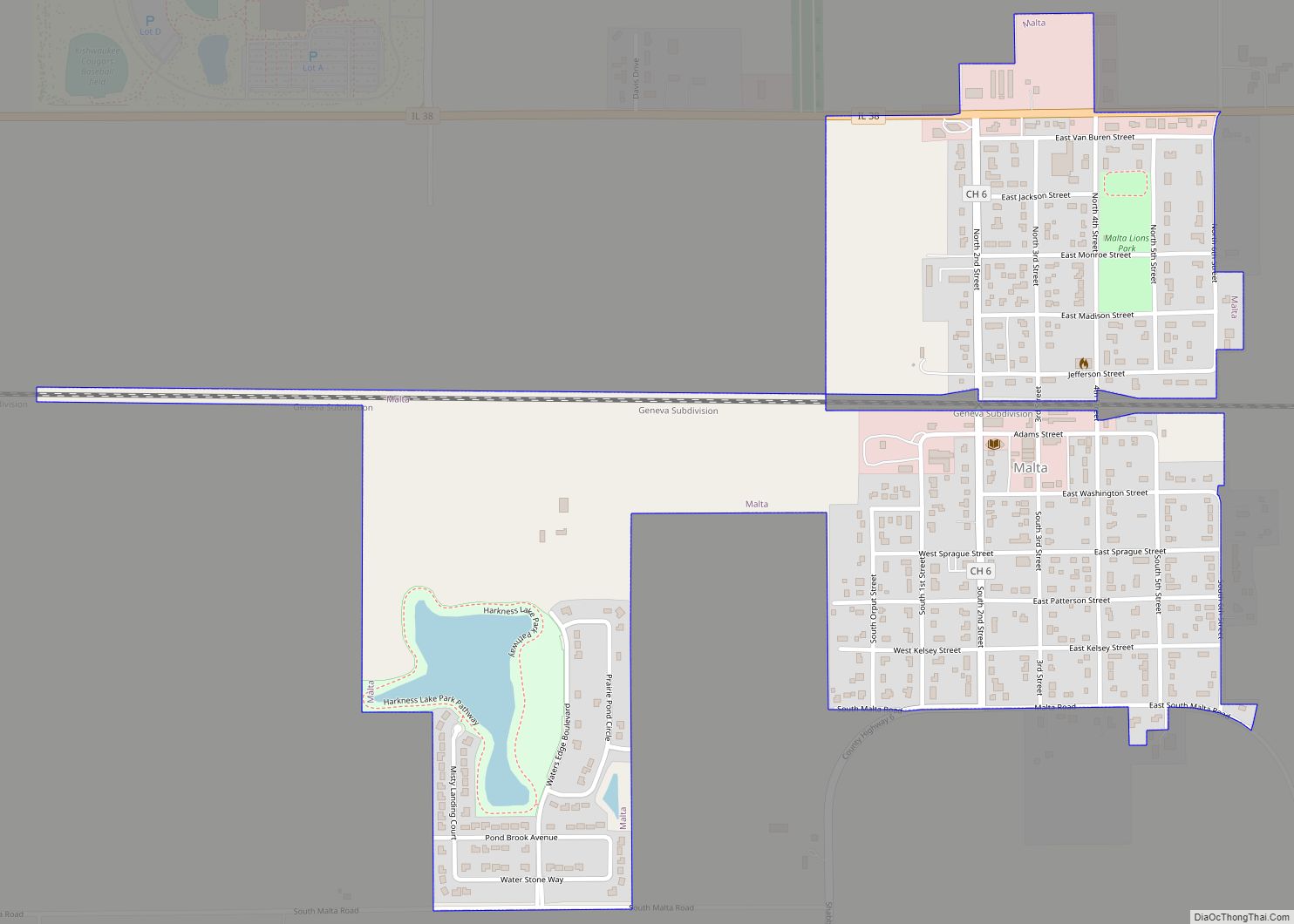
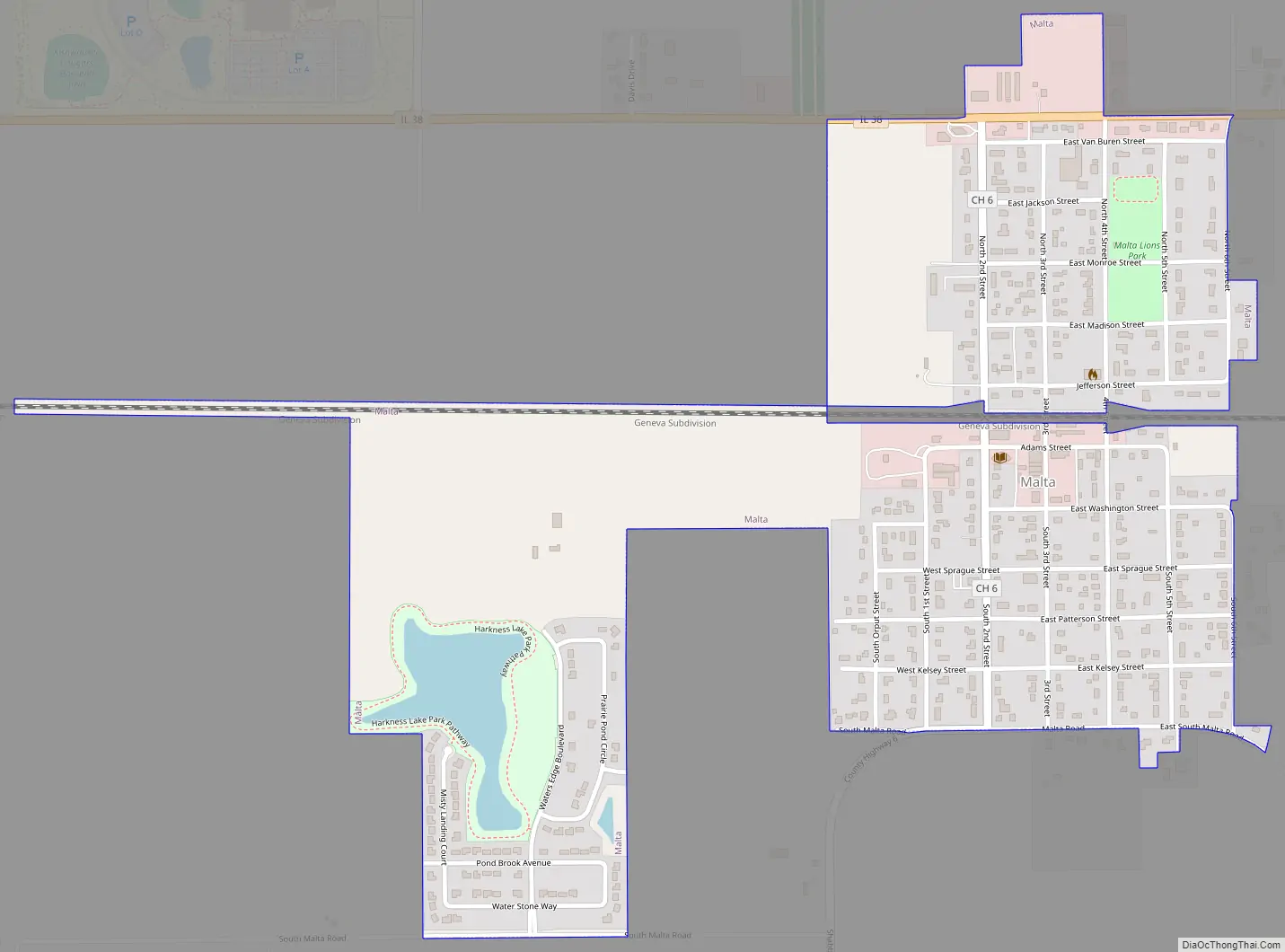
Malta Road Map
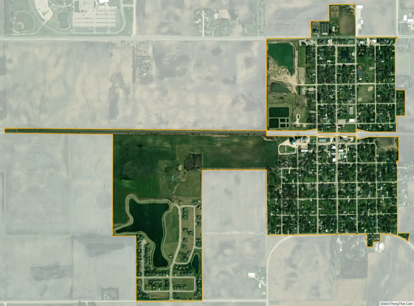
Malta city Satellite Map
Geography
Malta is located at 41°55′45″N 88°51′42″W / 41.92917°N 88.86167°W / 41.92917; -88.86167 (41.929243, -88.861743).
According to the 2021 census gazetteer files, Malta has a total area of 0.64 square miles (1.66 km), of which 0.62 square miles (1.61 km) (or 96.39%) is land and 0.02 square miles (0.05 km) (or 3.61%) is water.
See also
Map of Illinois State and its subdivision:- Adams
- Alexander
- Bond
- Boone
- Brown
- Bureau
- Calhoun
- Carroll
- Cass
- Champaign
- Christian
- Clark
- Clay
- Clinton
- Coles
- Cook
- Crawford
- Cumberland
- De Kalb
- De Witt
- Douglas
- Dupage
- Edgar
- Edwards
- Effingham
- Fayette
- Ford
- Franklin
- Fulton
- Gallatin
- Greene
- Grundy
- Hamilton
- Hancock
- Hardin
- Henderson
- Henry
- Iroquois
- Jackson
- Jasper
- Jefferson
- Jersey
- Jo Daviess
- Johnson
- Kane
- Kankakee
- Kendall
- Knox
- La Salle
- Lake
- Lake Michigan
- Lawrence
- Lee
- Livingston
- Logan
- Macon
- Macoupin
- Madison
- Marion
- Marshall
- Mason
- Massac
- McDonough
- McHenry
- McLean
- Menard
- Mercer
- Monroe
- Montgomery
- Morgan
- Moultrie
- Ogle
- Peoria
- Perry
- Piatt
- Pike
- Pope
- Pulaski
- Putnam
- Randolph
- Richland
- Rock Island
- Saint Clair
- Saline
- Sangamon
- Schuyler
- Scott
- Shelby
- Stark
- Stephenson
- Tazewell
- Union
- Vermilion
- Wabash
- Warren
- Washington
- Wayne
- White
- Whiteside
- Will
- Williamson
- Winnebago
- Woodford
- Alabama
- Alaska
- Arizona
- Arkansas
- California
- Colorado
- Connecticut
- Delaware
- District of Columbia
- Florida
- Georgia
- Hawaii
- Idaho
- Illinois
- Indiana
- Iowa
- Kansas
- Kentucky
- Louisiana
- Maine
- Maryland
- Massachusetts
- Michigan
- Minnesota
- Mississippi
- Missouri
- Montana
- Nebraska
- Nevada
- New Hampshire
- New Jersey
- New Mexico
- New York
- North Carolina
- North Dakota
- Ohio
- Oklahoma
- Oregon
- Pennsylvania
- Rhode Island
- South Carolina
- South Dakota
- Tennessee
- Texas
- Utah
- Vermont
- Virginia
- Washington
- West Virginia
- Wisconsin
- Wyoming