Manteno is a village in Kankakee County, Illinois, United States. The population was 9,210 at the 2020 census. It is part of the Kankakee-Bourbonnais-Bradley Metropolitan Statistical Area.
| Name: | Manteno village |
|---|---|
| LSAD Code: | 47 |
| LSAD Description: | village (suffix) |
| State: | Illinois |
| County: | Kankakee County |
| Elevation: | 688 ft (210 m) |
| Total Area: | 5.38 sq mi (13.9 km²) |
| Land Area: | 5.34 sq mi (13.8 km²) |
| Water Area: | 0.03 sq mi (0.08 km²) 0.63% |
| Total Population: | 9,210 |
| Population Density: | 1,700/sq mi (660/km²) |
| ZIP code: | 60950 |
| Area code: | 815 and 779 |
| FIPS code: | 1746500 |
| Website: | www.villageofmanteno.com |
Online Interactive Map
Click on ![]() to view map in "full screen" mode.
to view map in "full screen" mode.
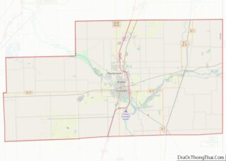
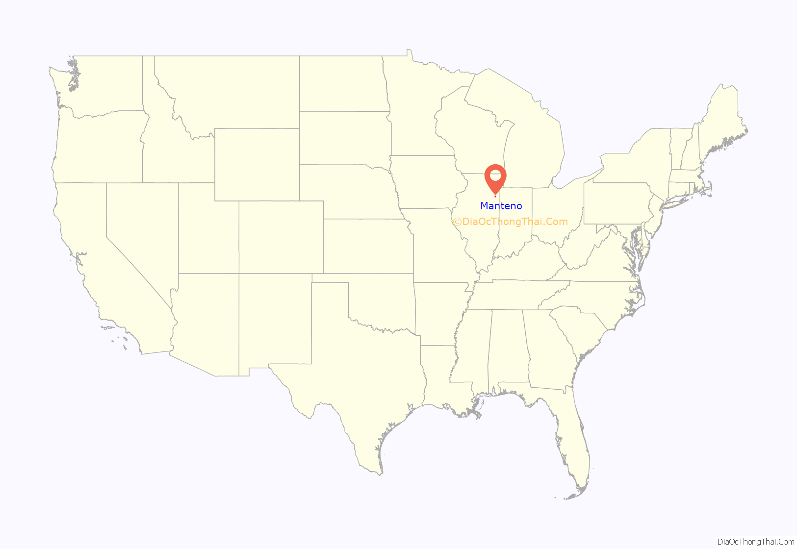
Manteno location map. Where is Manteno village?

History
Origins of village name
Manteno was named after Manteno (Mawteno), a daughter of Francois Bourbonnais, Jr. (thus her grandfather was the man for whom the city of Bourbonnais was named) and his Potawatomi wife. A Potawatomi name, it is a possible anglicization of manito or manitou, a Potawatomi word for “spirit”. Oliver W. Barnard, an early settler in this area, spelled her name “Mantenau” in a poem, romanticizing the Potawatomi maiden. Other 19th century books spell it “Mawteno” and “Manteno”.
Because she was of Potawatomi descent, Mawteno (spelled phonetically in the treaty, “Maw-te-no”) was given a section of land, now part of Kankakee County, near Soldier Creek, by the treaty of Treaty of Tippecanoe of 1832.
Incorporation
Both Kankakee and Iroquois counties were part of Will County, Illinois, before the State Legislature granted a plea of Kankakee’s citizens and permitted them to incorporate in 1853.
The present township of Manteno was then the east half of the township of Rockville. On March 12, 1855, the town’s petition that the area become the township of Manteno was granted by the county’s board of supervisors.
The village was incorporated in 1869.
Manteno Road Map

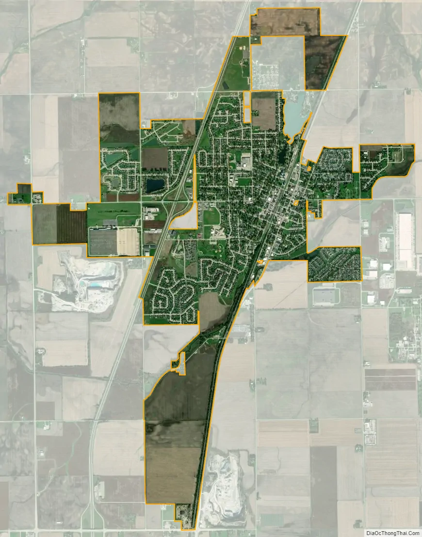
Manteno city Satellite Map
Geography
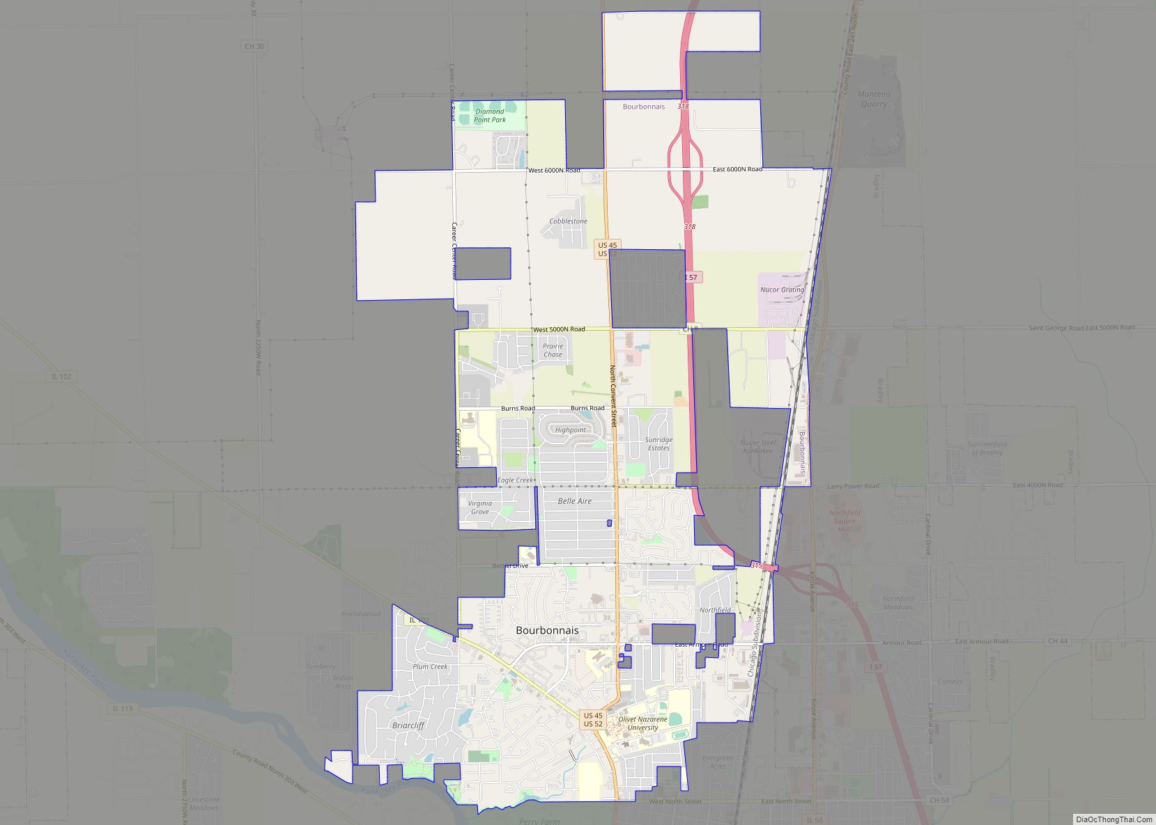
Manteno is located in northern Kankakee County at 41°15′0″N 87°50′18″W / 41.25000°N 87.83833°W / 41.25000; -87.83833 (41.250129, -87.838282). It is bordered to the south by the village of Bourbonnais. The average elevation is 675 ft (206 m).
Interstate 57 passes through the west side of the village, with access from Exit 322. I-57 leads south 10 miles (16 km) to Kankakee, the county seat, and north 47 miles (76 km) to Chicago. Illinois Route 50 passes through the center of Manteno as Locust Street and leads north 6 miles (10 km) to Peotone and south 8 miles (13 km) to Bradley.
According to the 2021 census gazetteer files, Manteno has a total area of 5.38 square miles (13.93 km), of which 5.34 square miles (13.83 km) (or 99.37%) is land and 0.03 square miles (0.08 km) (or 0.63%) is water.
See also
Map of Illinois State and its subdivision:- Adams
- Alexander
- Bond
- Boone
- Brown
- Bureau
- Calhoun
- Carroll
- Cass
- Champaign
- Christian
- Clark
- Clay
- Clinton
- Coles
- Cook
- Crawford
- Cumberland
- De Kalb
- De Witt
- Douglas
- Dupage
- Edgar
- Edwards
- Effingham
- Fayette
- Ford
- Franklin
- Fulton
- Gallatin
- Greene
- Grundy
- Hamilton
- Hancock
- Hardin
- Henderson
- Henry
- Iroquois
- Jackson
- Jasper
- Jefferson
- Jersey
- Jo Daviess
- Johnson
- Kane
- Kankakee
- Kendall
- Knox
- La Salle
- Lake
- Lake Michigan
- Lawrence
- Lee
- Livingston
- Logan
- Macon
- Macoupin
- Madison
- Marion
- Marshall
- Mason
- Massac
- McDonough
- McHenry
- McLean
- Menard
- Mercer
- Monroe
- Montgomery
- Morgan
- Moultrie
- Ogle
- Peoria
- Perry
- Piatt
- Pike
- Pope
- Pulaski
- Putnam
- Randolph
- Richland
- Rock Island
- Saint Clair
- Saline
- Sangamon
- Schuyler
- Scott
- Shelby
- Stark
- Stephenson
- Tazewell
- Union
- Vermilion
- Wabash
- Warren
- Washington
- Wayne
- White
- Whiteside
- Will
- Williamson
- Winnebago
- Woodford
- Alabama
- Alaska
- Arizona
- Arkansas
- California
- Colorado
- Connecticut
- Delaware
- District of Columbia
- Florida
- Georgia
- Hawaii
- Idaho
- Illinois
- Indiana
- Iowa
- Kansas
- Kentucky
- Louisiana
- Maine
- Maryland
- Massachusetts
- Michigan
- Minnesota
- Mississippi
- Missouri
- Montana
- Nebraska
- Nevada
- New Hampshire
- New Jersey
- New Mexico
- New York
- North Carolina
- North Dakota
- Ohio
- Oklahoma
- Oregon
- Pennsylvania
- Rhode Island
- South Carolina
- South Dakota
- Tennessee
- Texas
- Utah
- Vermont
- Virginia
- Washington
- West Virginia
- Wisconsin
- Wyoming