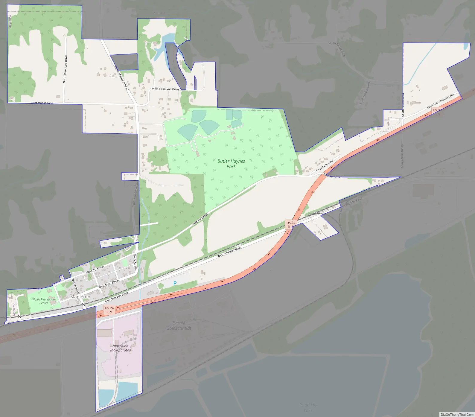
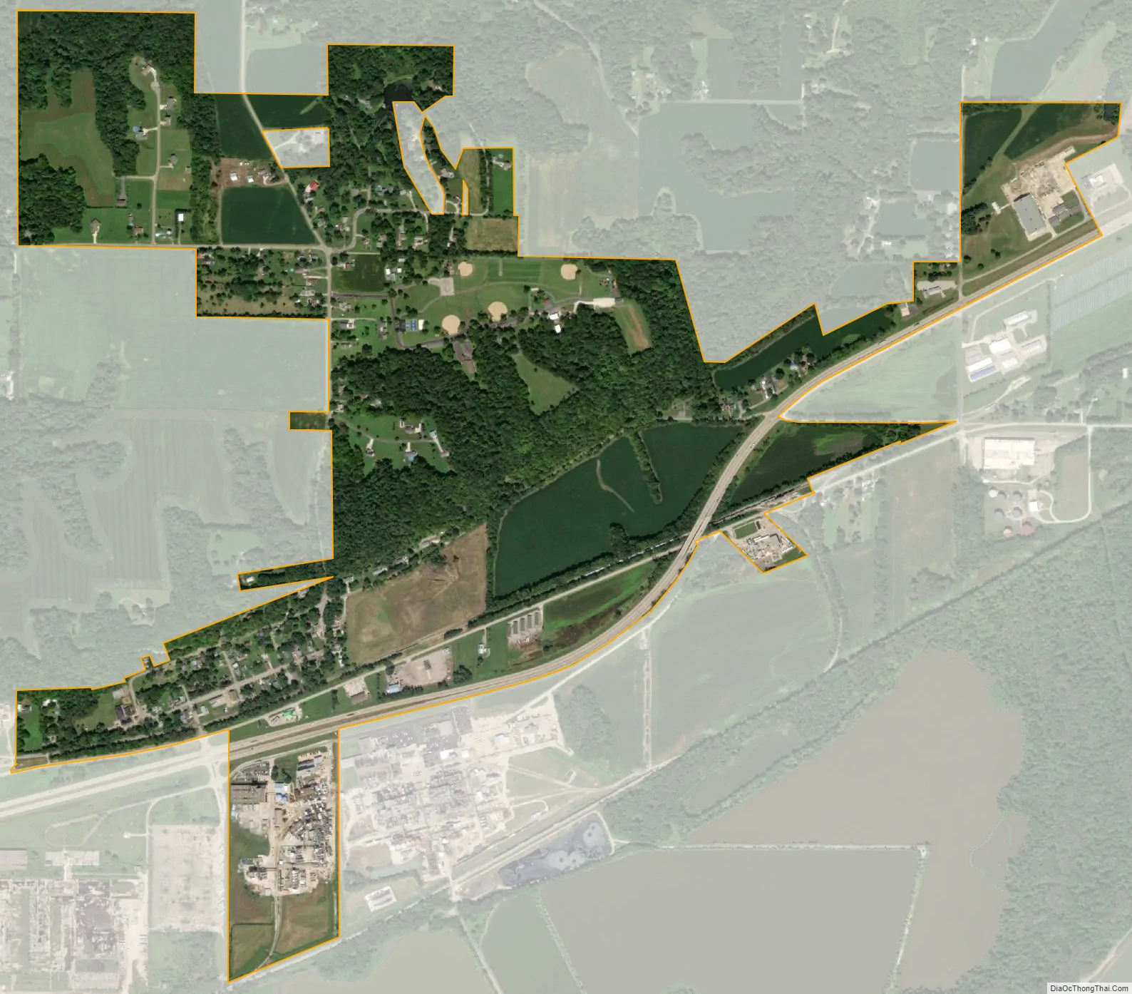
Mapleton is a small village in Peoria County, Illinois, United States. The population was 227 at the 2000 census. Mapleton is part of the Peoria, Illinois Metropolitan Statistical Area. There are four different plants in Mapleton, all located along U.S. Route 24: an Evonik chemical plant, a Lonza Group plant, a Caterpillar Inc. foundry, and an Ingredion facility; together, the large industrial complex forms one of Mapleton’s (and the wider Peoria area’s) most significant employers and a good source of skilled employees and good jobs.
| Name: | Mapleton village |
|---|---|
| LSAD Code: | 47 |
| LSAD Description: | village (suffix) |
| State: | Illinois |
| County: | Peoria County |
| Total Area: | 0.89 sq mi (2.29 km²) |
| Land Area: | 0.89 sq mi (2.29 km²) |
| Water Area: | 0.00 sq mi (0.00 km²) |
| Total Population: | 261 |
| Population Density: | 294.92/sq mi (113.82/km²) |
| Area code: | 309 |
| FIPS code: | 1746643 |
| Website: | www.mapletonillinois.com |
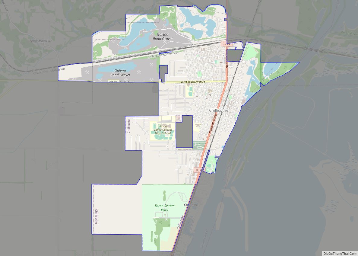
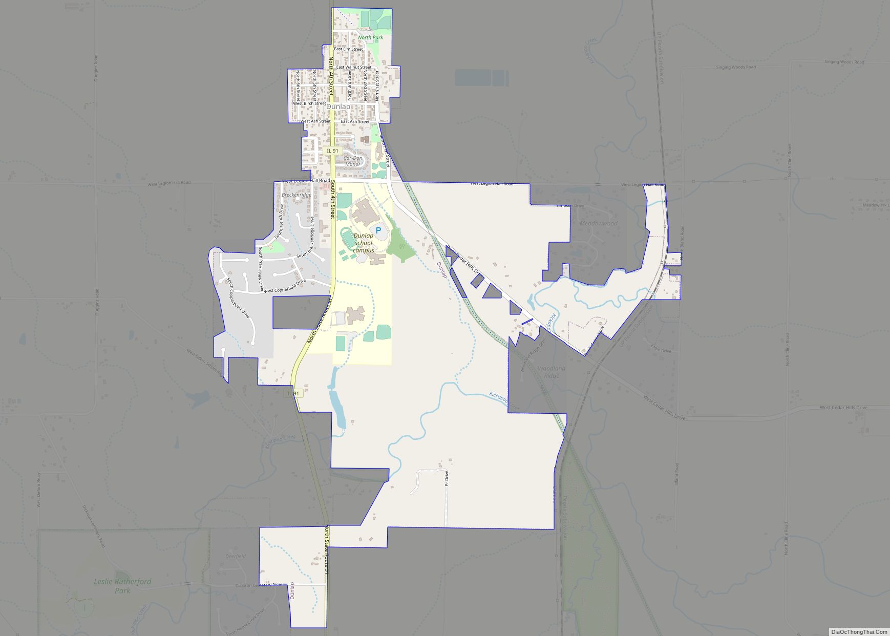
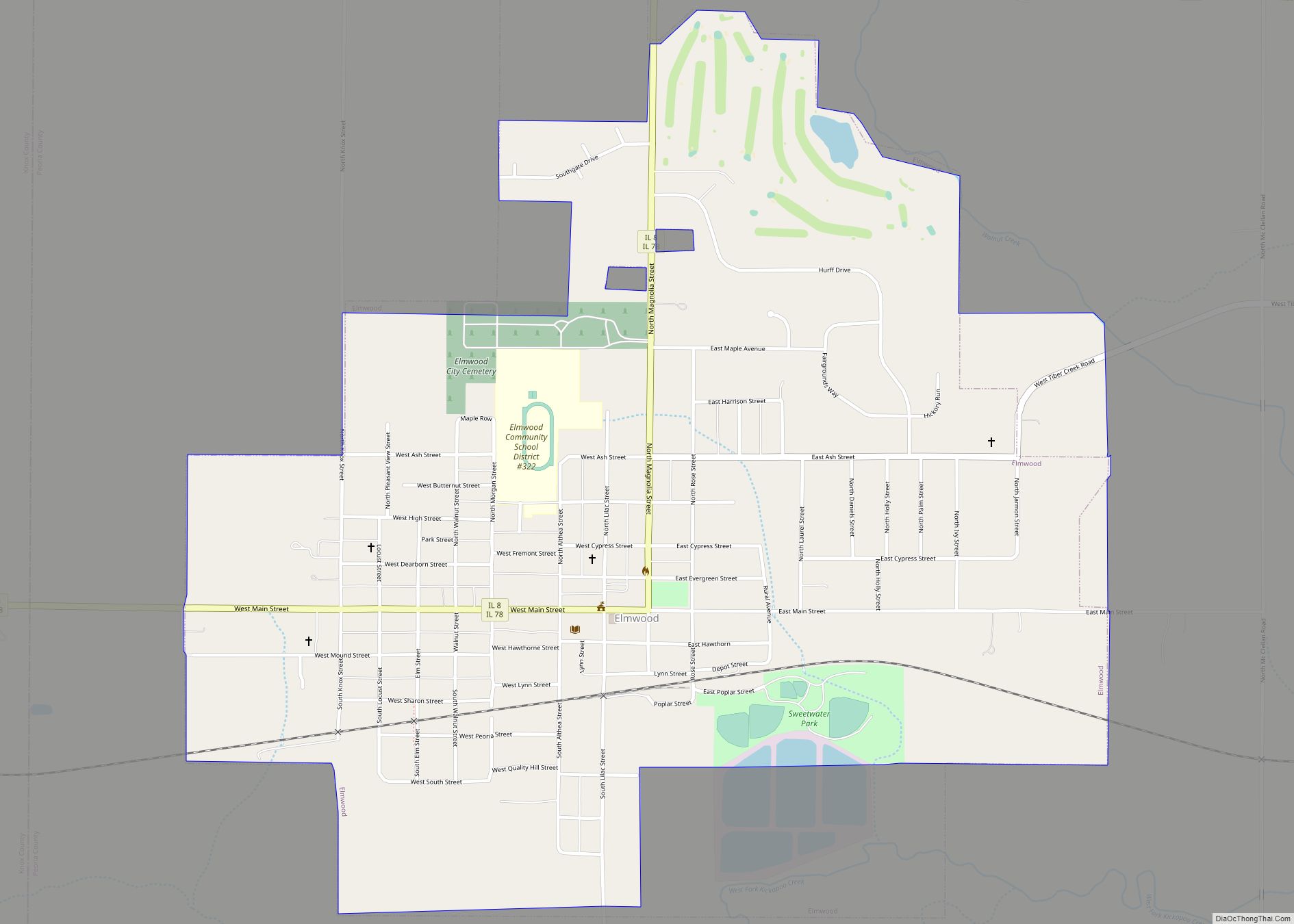
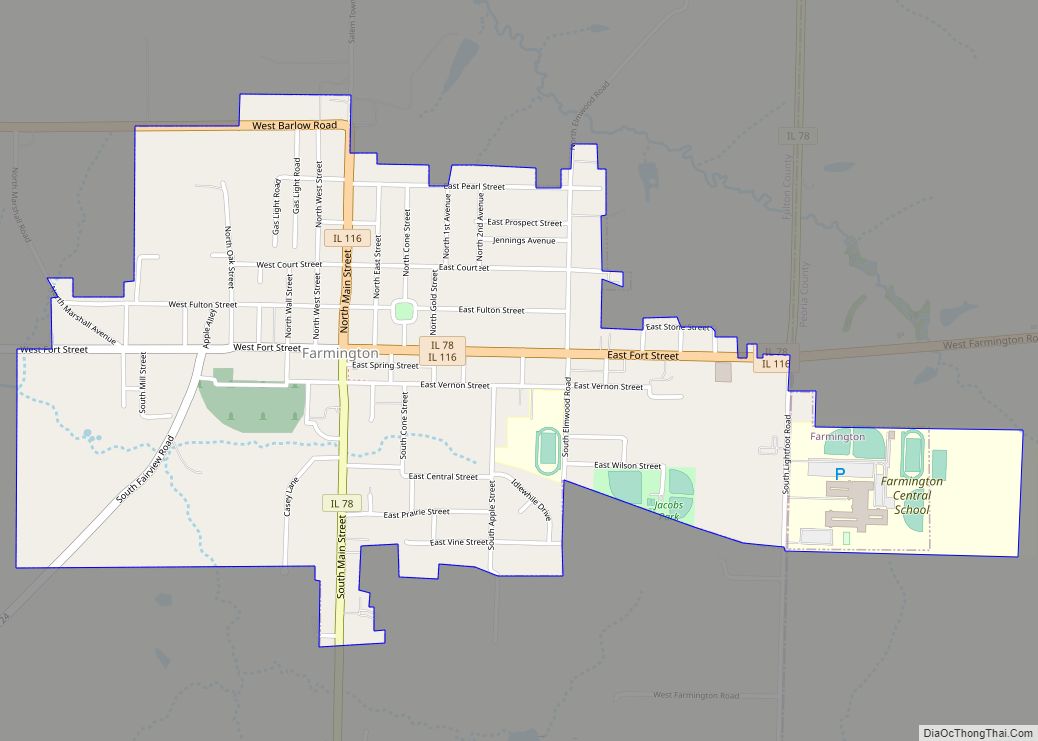
Online Interactive Map
Click on ![]() to view map in "full screen" mode.
to view map in "full screen" mode.
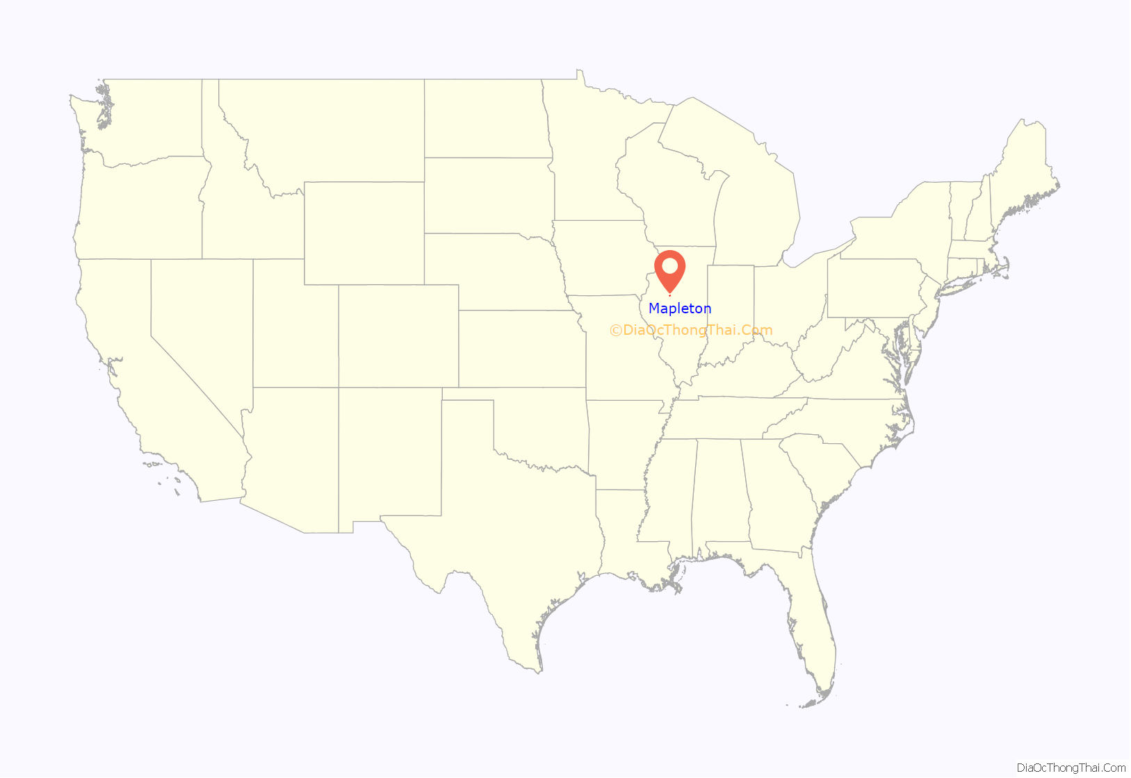
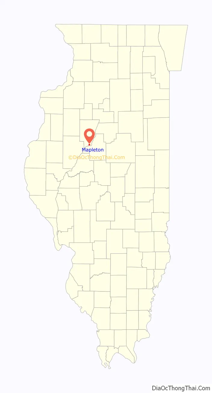
Mapleton location map. Where is Mapleton village?
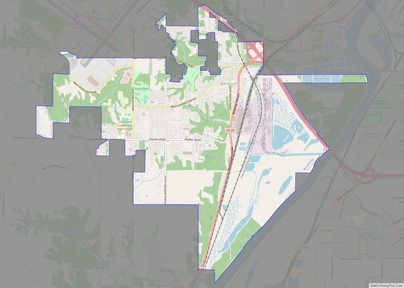
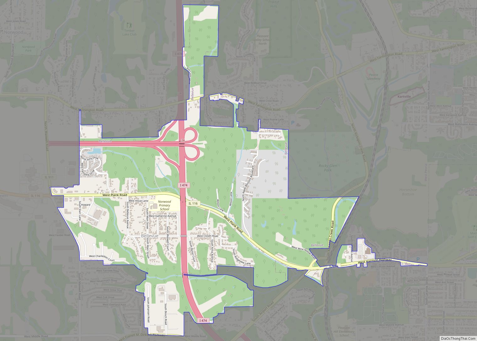
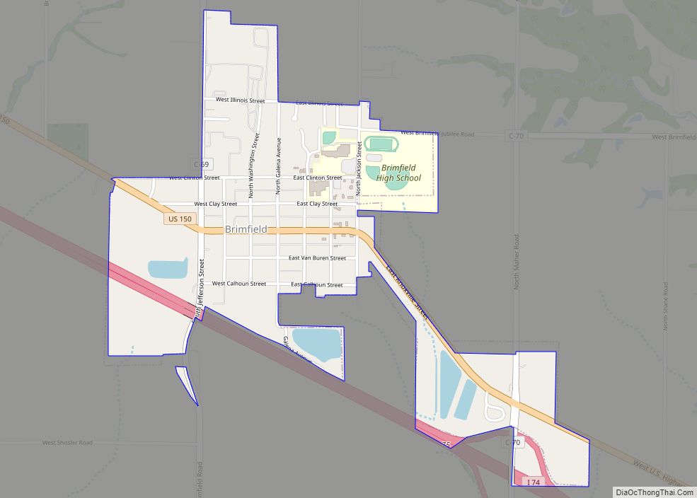
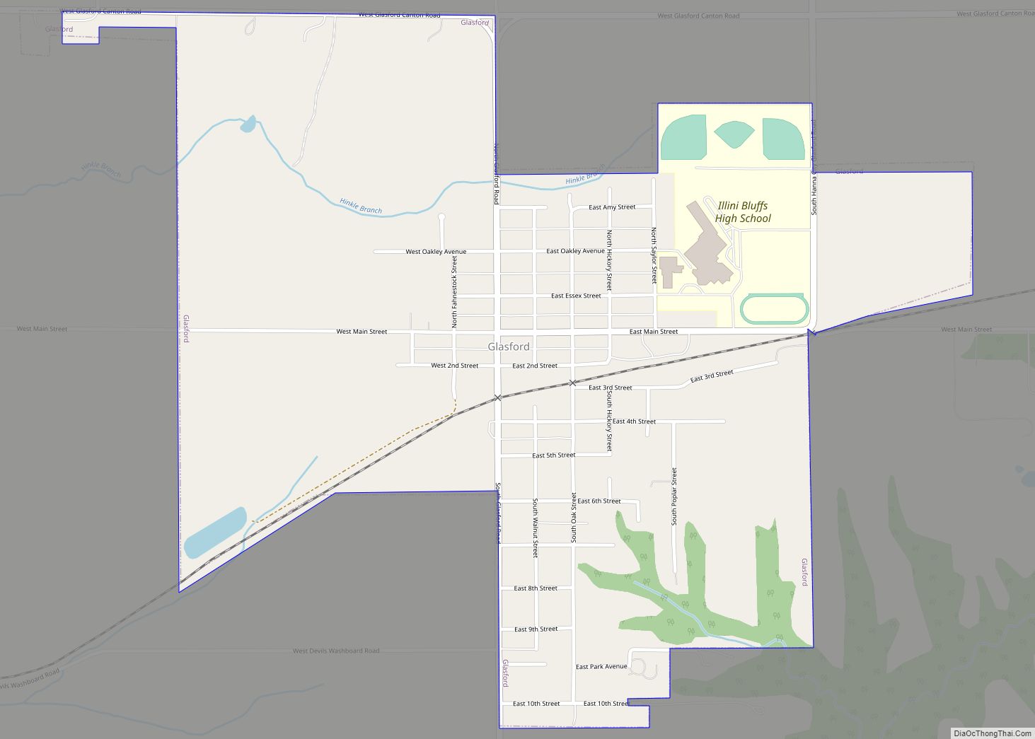
Mapleton Road Map
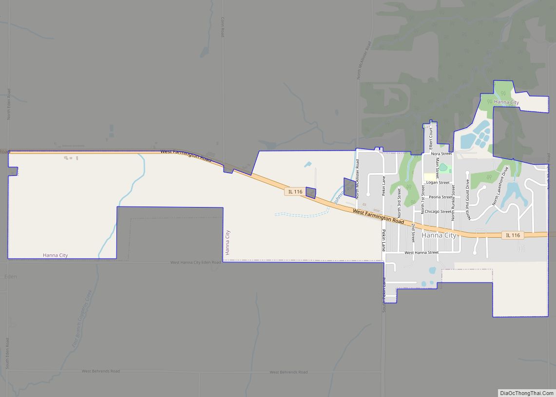
Mapleton city Satellite Map
Geography
Mapleton is located at 40°34′22″N 89°43′42″W / 40.572758°N 89.728249°W / 40.572758; -89.728249.
According to the 2010 census, Mapleton has a total area of 0.91 square miles (2.36 km), all land.
See also
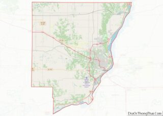
Map of Illinois State and its subdivision:- Adams
- Alexander
- Bond
- Boone
- Brown
- Bureau
- Calhoun
- Carroll
- Cass
- Champaign
- Christian
- Clark
- Clay
- Clinton
- Coles
- Cook
- Crawford
- Cumberland
- De Kalb
- De Witt
- Douglas
- Dupage
- Edgar
- Edwards
- Effingham
- Fayette
- Ford
- Franklin
- Fulton
- Gallatin
- Greene
- Grundy
- Hamilton
- Hancock
- Hardin
- Henderson
- Henry
- Iroquois
- Jackson
- Jasper
- Jefferson
- Jersey
- Jo Daviess
- Johnson
- Kane
- Kankakee
- Kendall
- Knox
- La Salle
- Lake
- Lake Michigan
- Lawrence
- Lee
- Livingston
- Logan
- Macon
- Macoupin
- Madison
- Marion
- Marshall
- Mason
- Massac
- McDonough
- McHenry
- McLean
- Menard
- Mercer
- Monroe
- Montgomery
- Morgan
- Moultrie
- Ogle
- Peoria
- Perry
- Piatt
- Pike
- Pope
- Pulaski
- Putnam
- Randolph
- Richland
- Rock Island
- Saint Clair
- Saline
- Sangamon
- Schuyler
- Scott
- Shelby
- Stark
- Stephenson
- Tazewell
- Union
- Vermilion
- Wabash
- Warren
- Washington
- Wayne
- White
- Whiteside
- Will
- Williamson
- Winnebago
- Woodford
- Alabama
- Alaska
- Arizona
- Arkansas
- California
- Colorado
- Connecticut
- Delaware
- District of Columbia
- Florida
- Georgia
- Hawaii
- Idaho
- Illinois
- Indiana
- Iowa
- Kansas
- Kentucky
- Louisiana
- Maine
- Maryland
- Massachusetts
- Michigan
- Minnesota
- Mississippi
- Missouri
- Montana
- Nebraska
- Nevada
- New Hampshire
- New Jersey
- New Mexico
- New York
- North Carolina
- North Dakota
- Ohio
- Oklahoma
- Oregon
- Pennsylvania
- Rhode Island
- South Carolina
- South Dakota
- Tennessee
- Texas
- Utah
- Vermont
- Virginia
- Washington
- West Virginia
- Wisconsin
- Wyoming