Map of Panola village, Illinois

Map of Panola village, Illinois

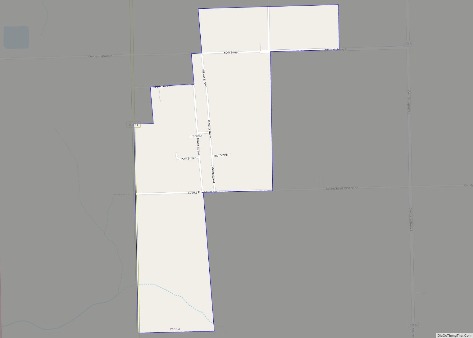
Panola is a village in Woodford County, Illinois, United States. The population was 45 at the 2010 census. It is part of the Peoria, Illinois Metropolitan Statistical Area. Panola is one of the smallest communities in Illinois today. It is located about 2 miles (3.2 km) north of El Paso, along Illinois Route 251 (next to … Read more

Map of Park City city

Map of Park City, Illinois

Park City is a small city located in the Warren and Waukegan townships of Lake County, Illinois, United States, on the northern end of the Chicago metropolitan area. Per the 2020 census, the population was 7,885. Park City city overview: Name: Park City city LSAD Code: 25 LSAD Description: city (suffix) State: Illinois County: Lake … Read more

Map of Paris city, Illinois

Map of Paris city, Illinois

Paris is a city in Edgar County, Illinois, 165 miles (266 km) south of Chicago and 90 miles (140 km) west of Indianapolis. The population was 8,291 at the 2020 census. It is the county seat and largest city of Edgar County. Paris city overview: Name: Paris city LSAD Code: 25 LSAD Description: city (suffix) State: Illinois … Read more

Map of Park Ridge city

Map of Park Ridge city, Illinois

Park Ridge is a city in Cook County, Illinois, United States, and a Chicago suburb. Per the 2020 census, the population was 39,656. It is located 15 miles (24 km) northwest of downtown Chicago. It is close to O’Hare International Airport, major expressways, and rail transportation. It is a part of the Chicago metropolitan area, bordering … Read more

Map of Park Forest village

Map of Park Forest village

Park Forest is a village located south of Chicago in Cook County, Illinois, with a small southern portion in Will County, Illinois, United States. The village was originally designed as a planned community for veterans returning from World War II. As of the 2020 census, the village had a population of 21,687. Park Forest has … Read more

Map of Patoka village

Map of Patoka village, Illinois

Patoka is a village in Marion County, Illinois, United States. The population was 525 at the 2020 census. Patoka village overview: Name: Patoka village LSAD Code: 47 LSAD Description: village (suffix) State: Illinois County: Marion County Elevation: 505 ft (154 m) Total Area: 1.11 sq mi (2.89 km²) Land Area: 1.11 sq mi (2.89 km²) Water Area: 0.00 sq mi (0.00 km²) Total Population: 525 Population … Read more

Map of Parkersburg village, Illinois

Map of Parkersburg village, Illinois

Parkersburg is a village in Richland County, Illinois, United States. As of the 2000 census, the village population was 234. Parkersburg village overview: Name: Parkersburg village LSAD Code: 47 LSAD Description: village (suffix) State: Illinois County: Richland County Elevation: 482 ft (147 m) Total Area: 0.83 sq mi (2.14 km²) Land Area: 0.83 sq mi (2.14 km²) Water Area: 0.00 sq mi (0.00 km²) Total Population: … Read more

Map of Pawnee village

Map of Pawnee village, Illinois

Pawnee is a village in Sangamon County, Illinois, United States. Its population was 2,739 at the 2010 census, and 2,651 at a 2018 estimate. It is part of the Springfield, Illinois Metropolitan Statistical Area. Pawnee village overview: Name: Pawnee village LSAD Code: 47 LSAD Description: village (suffix) State: Illinois County: Sangamon County Elevation: 603 ft (184 m) … Read more

Map of Paw Paw village

Map of Paw Paw village, Illinois

Paw Paw is a village in Lee County in the U.S. state of Illinois. As of the 2020 census, the village was home to 830 people, down from 870 at the 2010 census. It was settled in the mid 19th century and by 1878 the village had a railroad connection. Paw Paw is home to … Read more

Map of Payson village, Illinois

Map of Payson village, Illinois

Payson is a village in Adams County, Illinois, United States. The population was 1,025 at the 2020 census. It is part of the Quincy, IL–MO Micropolitan Statistical Area. Payson village overview: Name: Payson village LSAD Code: 47 LSAD Description: village (suffix) State: Illinois County: Adams County Elevation: 745 ft (227 m) Total Area: 1.17 sq mi (3.03 km²) Land Area: … Read more

Map of Paxton city, Illinois

Map of Paxton city, Illinois

Paxton is a city in Ford County, Illinois, United States. The population was 4,473 at the 2010 census. It is the county seat of Ford County. Paxton city overview: Name: Paxton city LSAD Code: 25 LSAD Description: city (suffix) State: Illinois County: Ford County Elevation: 798 ft (243 m) Total Area: 3.04 sq mi (7.88 km²) Land Area: 3.04 sq mi (7.86 km²) … Read more

Map of Pearl village

Map of Pearl village, Illinois

Pearl is a village in Pike County, Illinois, United States. The population was 138 at the 2010 census, a decline from 187 in 2000. The village, settled in the late 19th century, is named after pearl buttons drilled from the large supply of native mussels that once lived in the nearby Illinois River. Pearl village … Read more