Port Byron is a village in Rock Island County, Illinois, United States and part of the Quad Cities Metropolitan Area. The population was 1,647 at the 2010 census. Port Byron village overview: Name: Port Byron village LSAD Code: 47 LSAD Description: village (suffix) State: Illinois County: Rock Island County Founded: 1828 Total Area: 2.48 sq mi (6.43 km²) ... Read more
Illinois Cities and Places
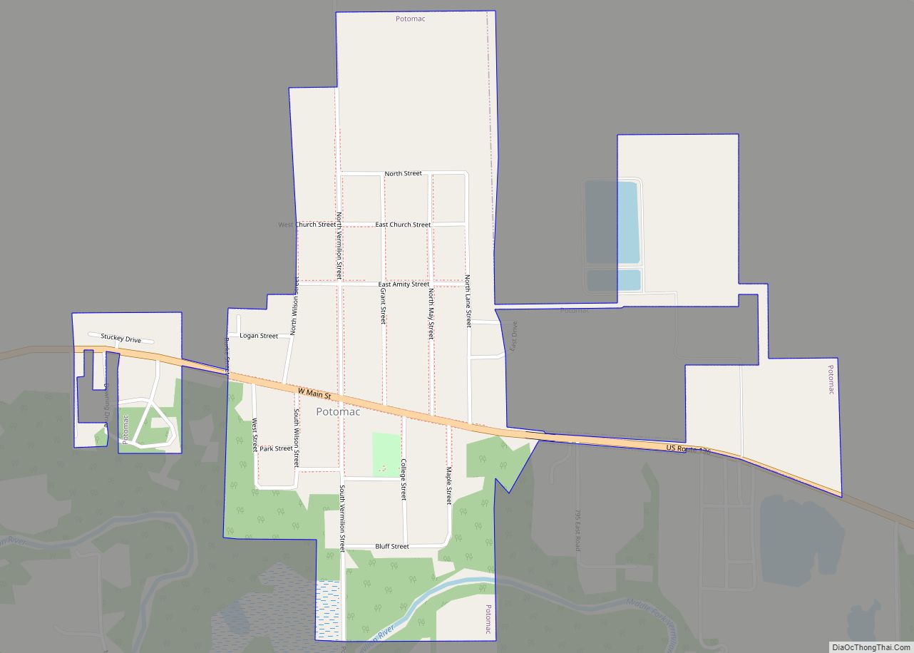
Potomac (listen (help·info)) is a village in Vermilion County, Illinois, United States. It is part of the Danville, Illinois Metropolitan Statistical Area. The population was 750 at the 2010 census. Potomac village overview: Name: Potomac village LSAD Code: 47 LSAD Description: village (suffix) State: Illinois County: Vermilion County Elevation: 669 ft (204 m) Total Area: 0.49 sq mi (1.26 km²) Land ... Read more
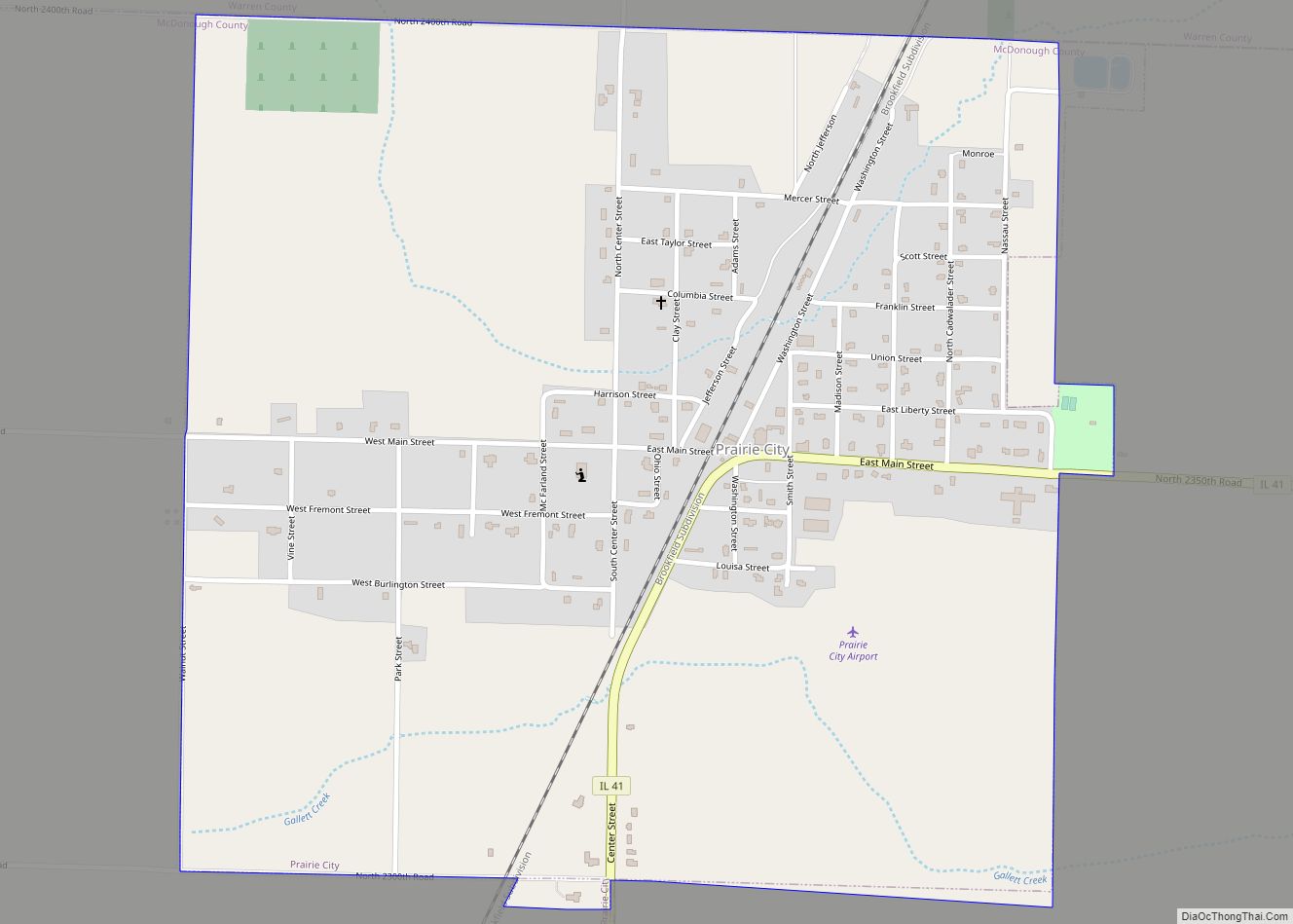
Prairie City is a village in McDonough County, Illinois, United States. The population was 407 at the 2020 census. Prairie City village overview: Name: Prairie City village LSAD Code: 47 LSAD Description: village (suffix) State: Illinois County: McDonough County Elevation: 667 ft (203 m) Total Area: 1.01 sq mi (2.61 km²) Land Area: 1.01 sq mi (2.61 km²) Water Area: 0.00 sq mi (0.00 km²) Total ... Read more
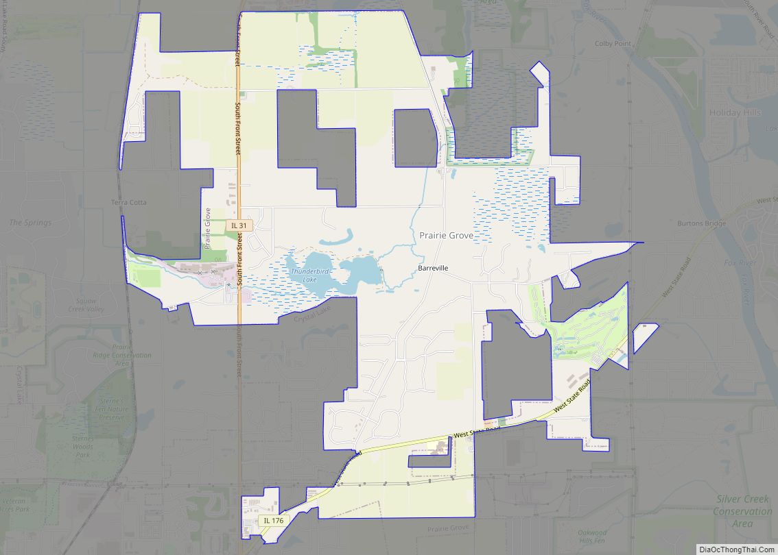
Prairie Grove is a village in McHenry County, Illinois, United States, first incorporated in 1973. Per the 2020 census, the population was 1,963. Prairie Grove village overview: Name: Prairie Grove village LSAD Code: 47 LSAD Description: village (suffix) State: Illinois County: McHenry County Founded: 1973 Elevation: 751 ft (229 m) Total Area: 5.68 sq mi (14.71 km²) Land Area: 5.68 sq mi ... Read more
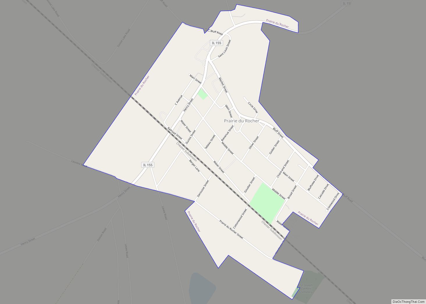
Prairie du Rocher (“The Rock Prairie” in French) is a village in Randolph County, Illinois, United States. Founded in the French colonial period in the American Midwest, the community is located near bluffs that flank the east side of the Mississippi River along the floodplain often called the “American Bottom”. The population was 502 at ... Read more
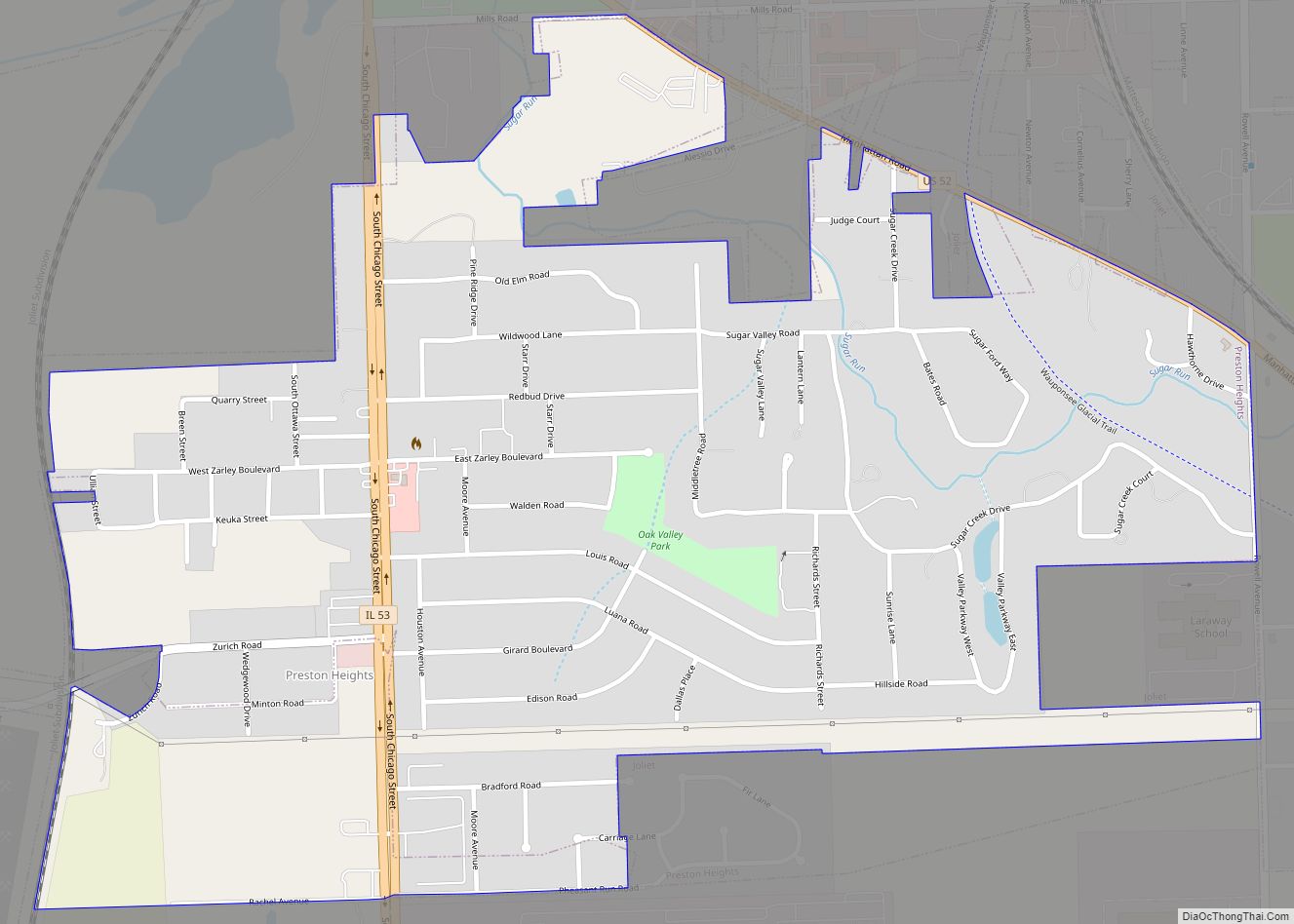
Preston Heights is a census-designated place (CDP) in Will County, Illinois, United States. As of the 2020 census, the CDP population was 2,898. Preston Heights CDP overview: Name: Preston Heights CDP LSAD Code: 57 LSAD Description: CDP (suffix) State: Illinois County: Will County Elevation: 617 ft (188 m) Total Area: 1.21 sq mi (3.13 km²) Land Area: 1.21 sq mi (3.13 km²) Water ... Read more
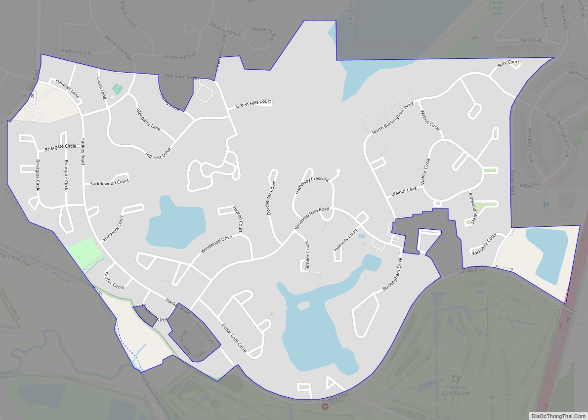
Prestbury is a census-designated place in Kane County, Illinois, United States. Per the 2020 census, the population was 1,657. Prestbury CDP overview: Name: Prestbury CDP LSAD Code: 57 LSAD Description: CDP (suffix) State: Illinois County: Kane County Elevation: 686 ft (209 m) Total Area: 0.66 sq mi (1.71 km²) Land Area: 0.63 sq mi (1.62 km²) Water Area: 0.04 sq mi (0.09 km²) Total Population: 1,657 ... Read more
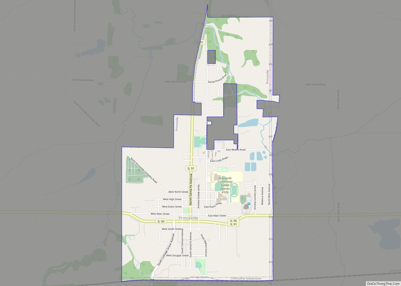
Princeville is a village in Peoria County, Illinois, United States. The population was 1,738 at the 2010 census, up from 1,621 in 2000. It is part of the Peoria, Illinois Metropolitan Statistical Area. Princeville village overview: Name: Princeville village LSAD Code: 47 LSAD Description: village (suffix) State: Illinois County: Peoria County Total Area: 1.69 sq mi (4.39 km²) ... Read more
Princeton is a city in and the county seat of Bureau County, Illinois, United States. The population was 7,832 at the 2020 census. Princeton is part of the Ottawa Micropolitan Statistical Area. Due to its location where Interstate 80 meets the Amtrak system, as well as its well-preserved main street and historic housing stock, Princeton ... Read more
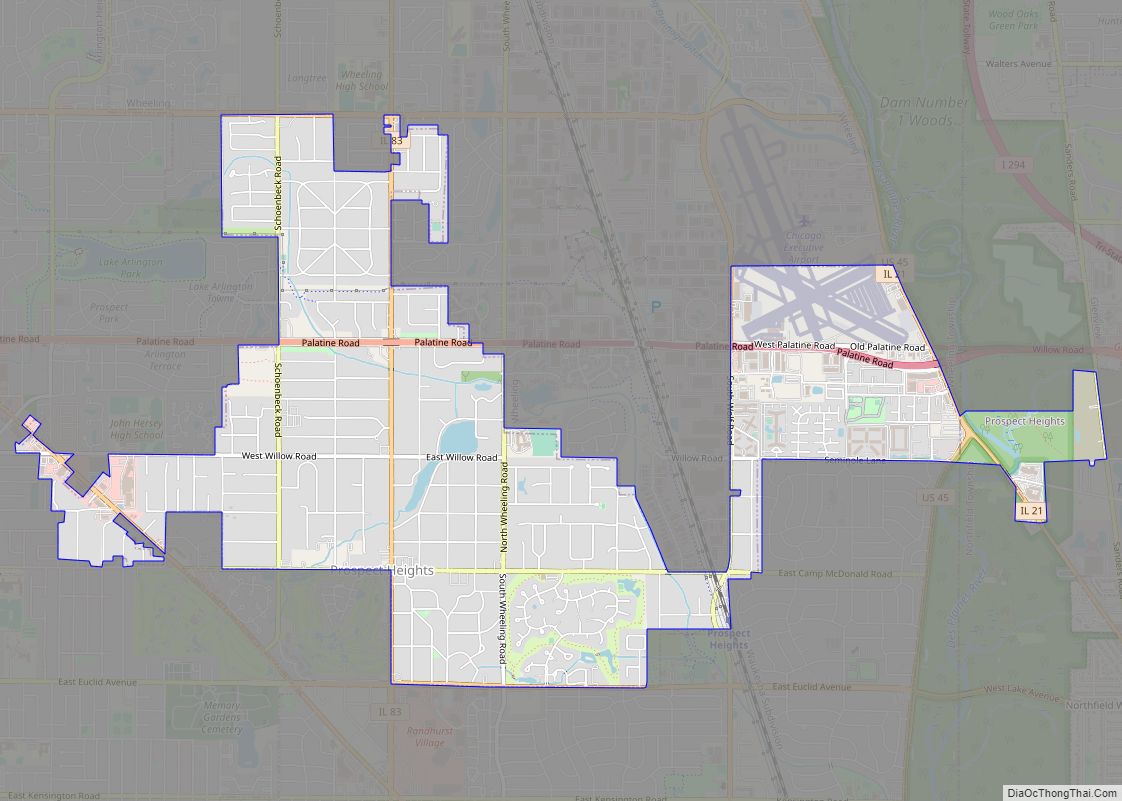
Prospect Heights is a city in Cook County, Illinois, United States and is a suburb of Chicago. Per the 2020 census, the population was 16,058. Prospect Heights city overview: Name: Prospect Heights city LSAD Code: 25 LSAD Description: city (suffix) State: Illinois County: Cook County Total Area: 4.29 sq mi (11.10 km²) Land Area: 4.26 sq mi (11.02 km²) Water Area: ... Read more
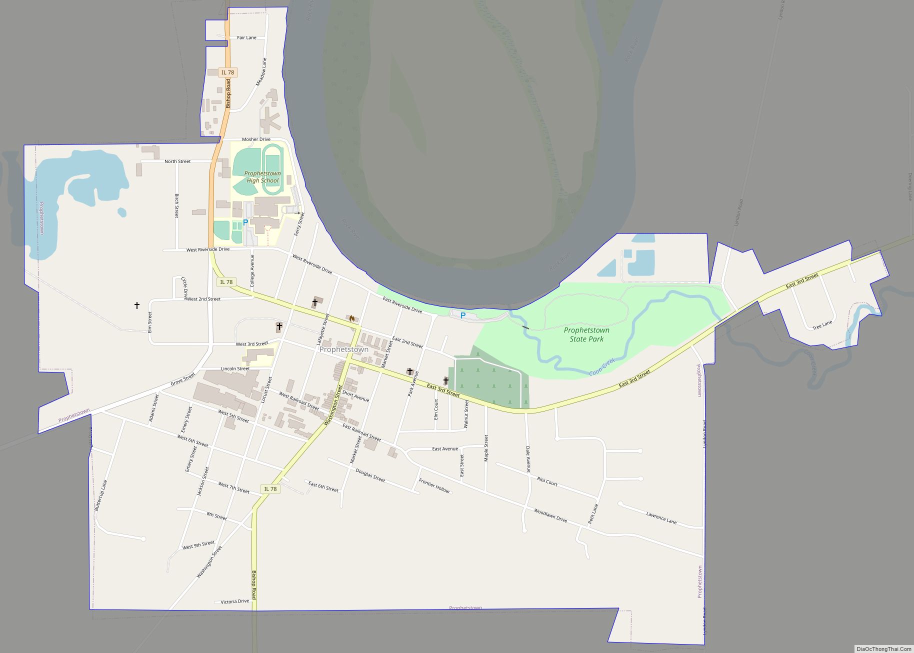
Prophetstown is a city in Whiteside County, Illinois, United States. The population was 2,080 at the 2010 census, up from 2,023 in 2000. Prophetstown city overview: Name: Prophetstown city LSAD Code: 25 LSAD Description: city (suffix) State: Illinois County: Whiteside County Total Area: 1.37 sq mi (3.54 km²) Land Area: 1.34 sq mi (3.47 km²) Water Area: 0.03 sq mi (0.07 km²) Total Population: ... Read more
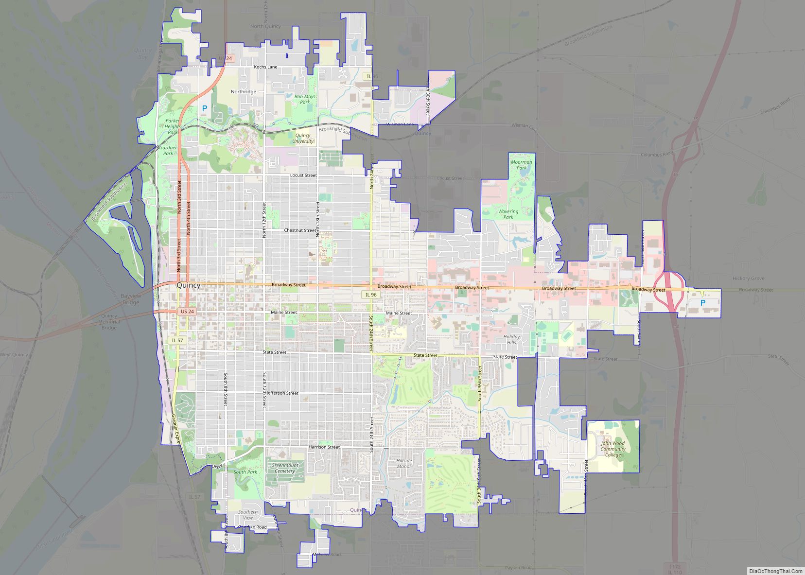
Quincy (/ˈkwɪnsi/ KWIN-see), known as Illinois‘s “Gem City”, is a city in and the county seat of Adams County, Illinois, United States, located on the Mississippi River. The 2020 census counted a population of 39,463 in the city itself, down from 40,633 in 2010. As of July 1, 2015, the Quincy Micro Area had an ... Read more

