Princeton is a city in and the county seat of Bureau County, Illinois, United States. The population was 7,832 at the 2020 census.
Princeton is part of the Ottawa Micropolitan Statistical Area. Due to its location where Interstate 80 meets the Amtrak system, as well as its well-preserved main street and historic housing stock, Princeton has become a popular satellite town for Chicago and the Quad Cities.
| Name: | Princeton city |
|---|---|
| LSAD Code: | 25 |
| LSAD Description: | city (suffix) |
| State: | Illinois |
| County: | Bureau County |
| Elevation: | 780 ft (240 m) |
| Total Area: | 8.24 sq mi (21.34 km²) |
| Land Area: | 8.24 sq mi (21.34 km²) |
| Water Area: | 0.00 sq mi (0.00 km²) 0% |
| Total Population: | 7,832 |
| Population Density: | 950.49/sq mi (367.00/km²) |
| Area code: | 815 |
| FIPS code: | 1761899 |
| Website: | www.princeton-il.com |
Online Interactive Map
Click on ![]() to view map in "full screen" mode.
to view map in "full screen" mode.
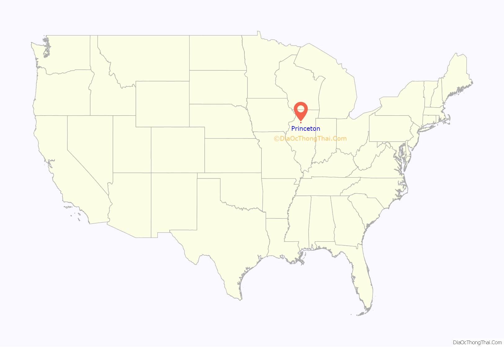
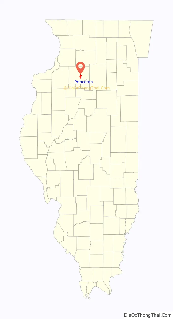
Princeton location map. Where is Princeton city?
History
Bureau County was a New England settlement. The original founders of Princeton consisted entirely of settlers from New England. These people were “Yankees,” descended from the English Puritans who settled New England in the 1600s. They were part of a wave of New England farmers who headed west into what was then the wilds of the Northwest Territory during the early 1800s. Most of them arrived as a result of the completion of the Erie Canal. When they arrived in what is now Bureau County there was nothing but a virgin forest and wild prairie; the New Englanders laid out farms, constructed roads, erected government buildings and established post routes. They brought with them many of their Yankee New England values, such as a passion for education, fueling the establishment of many schools, as well as staunch support for abolitionism. They were mostly members of the Congregationalist Church though some were Episcopalian.
Culturally Bureau County, like much of northern Illinois, would be culturally very continuous with early New England culture for most of its history. During the time of slavery, it was a stop on the Underground Railroad at the home of Owen Lovejoy.
The name of Princeton was supposedly determined by drawing from a hat:
Princeton’s former nickname was “The City of Elms” because of the large number of elm trees the city had during the middle of the 20th century. However, an epidemic struck the elm trees of Princeton in the mid-1960’s and killed off almost every elm. Soon after, Princeton’s slogan was changed to “Where Tradition Meets Progress”.
Now, the slogan is “A Short Drive that Takes you Far.”
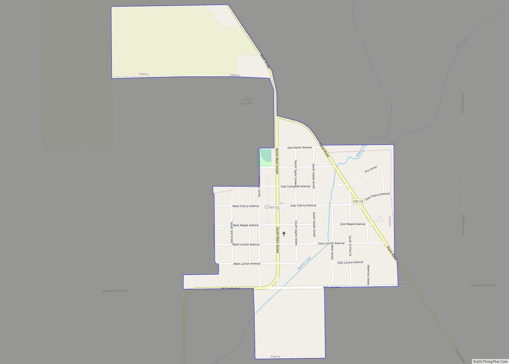
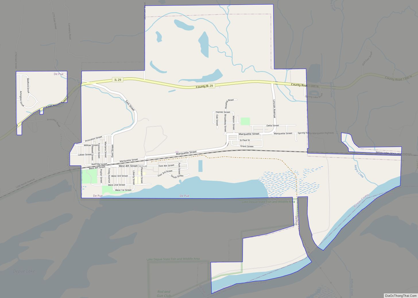
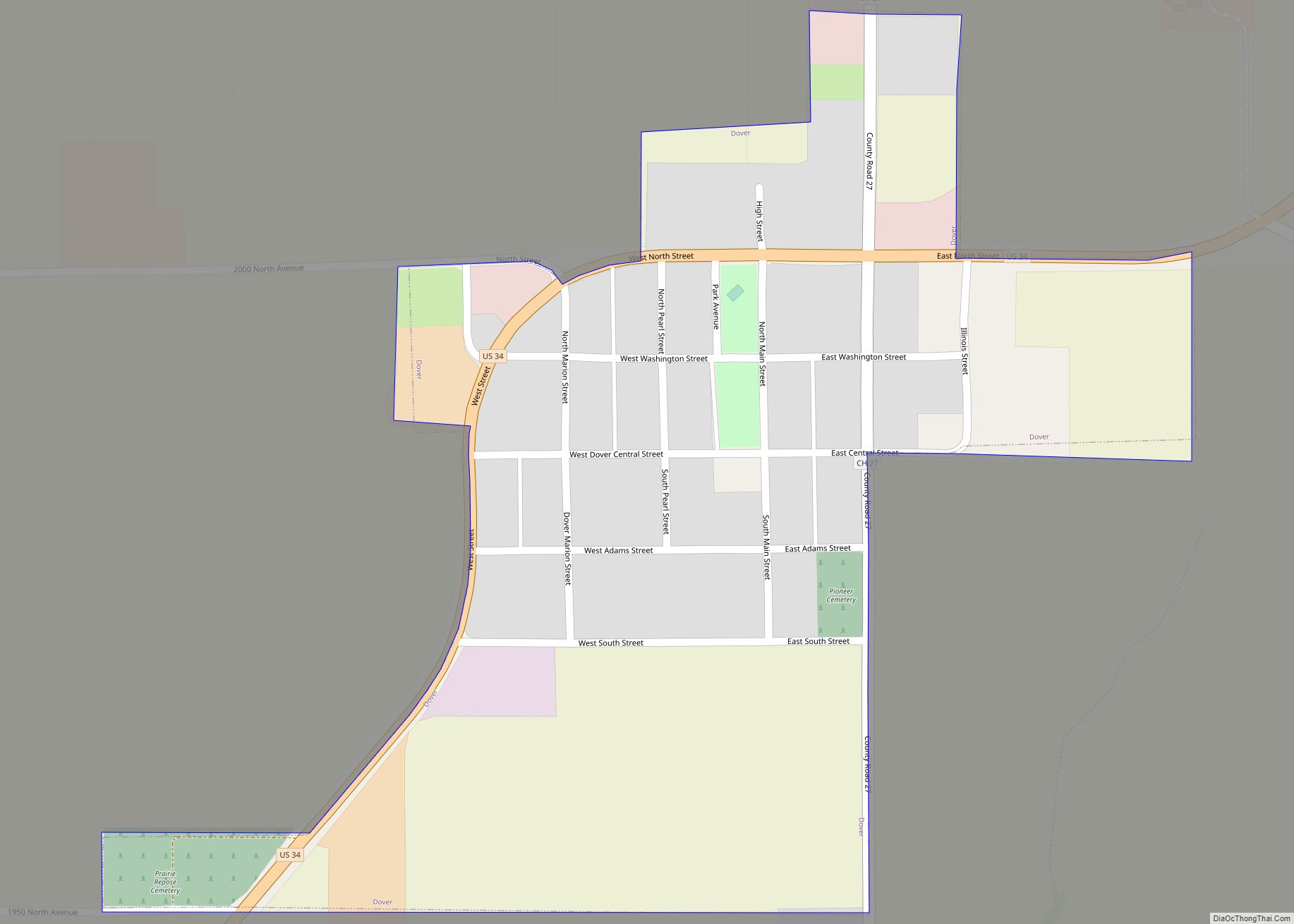
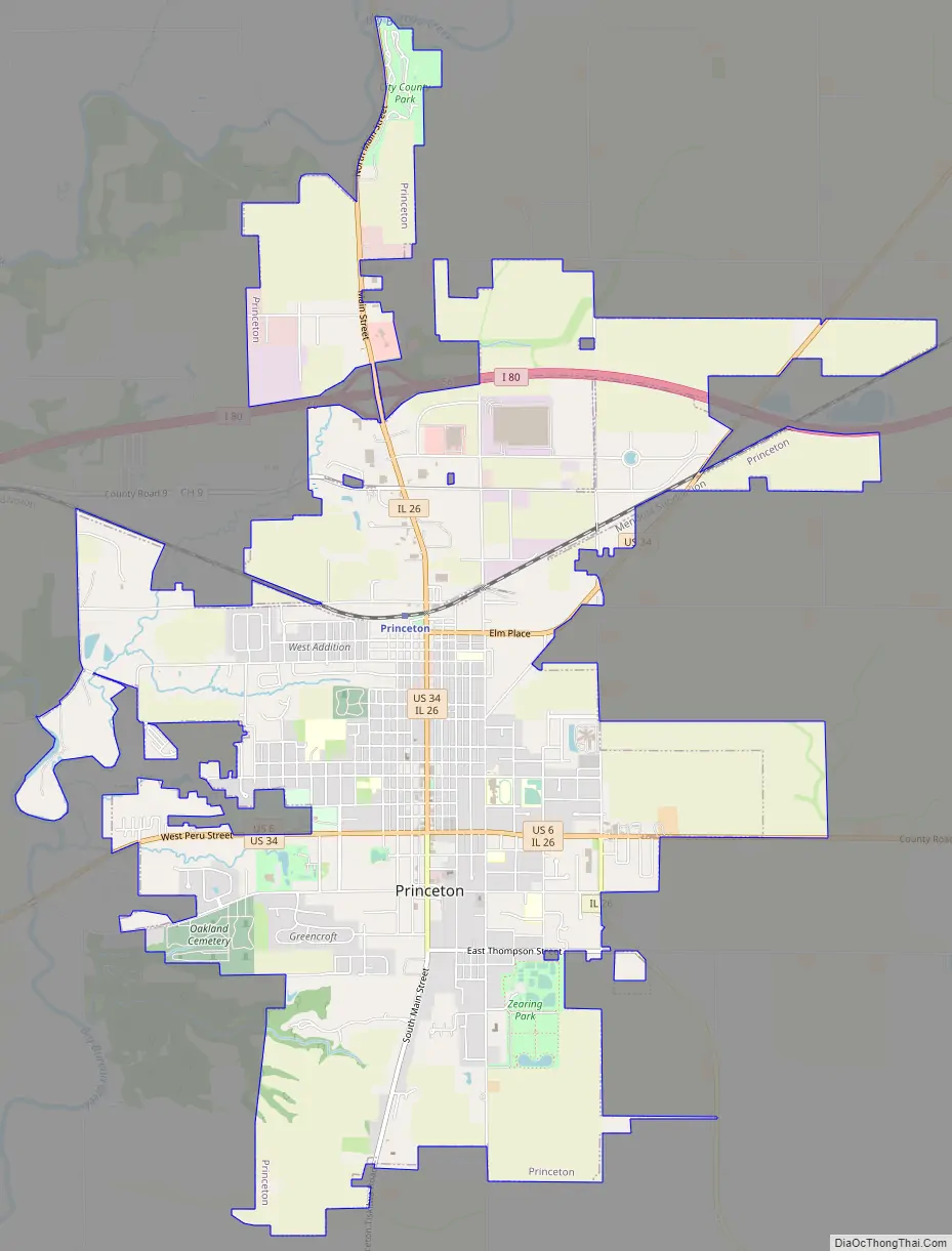
Princeton Road Map
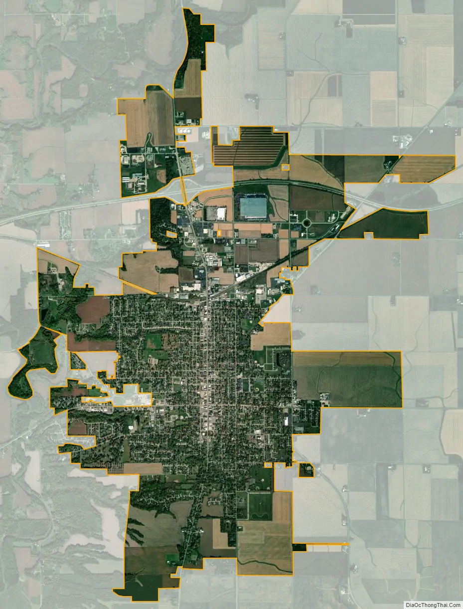
Princeton city Satellite Map
Geography
Princeton is located at 41°22′43″N 89°28′1″W / 41.37861°N 89.46694°W / 41.37861; -89.46694 (41.378481, −89.466924).
According to the 2021 census gazetteer files, Princeton has a total area of 8.24 square miles (21.34 km), all land.
Climate
See also
Map of Illinois State and its subdivision:- Adams
- Alexander
- Bond
- Boone
- Brown
- Bureau
- Calhoun
- Carroll
- Cass
- Champaign
- Christian
- Clark
- Clay
- Clinton
- Coles
- Cook
- Crawford
- Cumberland
- De Kalb
- De Witt
- Douglas
- Dupage
- Edgar
- Edwards
- Effingham
- Fayette
- Ford
- Franklin
- Fulton
- Gallatin
- Greene
- Grundy
- Hamilton
- Hancock
- Hardin
- Henderson
- Henry
- Iroquois
- Jackson
- Jasper
- Jefferson
- Jersey
- Jo Daviess
- Johnson
- Kane
- Kankakee
- Kendall
- Knox
- La Salle
- Lake
- Lake Michigan
- Lawrence
- Lee
- Livingston
- Logan
- Macon
- Macoupin
- Madison
- Marion
- Marshall
- Mason
- Massac
- McDonough
- McHenry
- McLean
- Menard
- Mercer
- Monroe
- Montgomery
- Morgan
- Moultrie
- Ogle
- Peoria
- Perry
- Piatt
- Pike
- Pope
- Pulaski
- Putnam
- Randolph
- Richland
- Rock Island
- Saint Clair
- Saline
- Sangamon
- Schuyler
- Scott
- Shelby
- Stark
- Stephenson
- Tazewell
- Union
- Vermilion
- Wabash
- Warren
- Washington
- Wayne
- White
- Whiteside
- Will
- Williamson
- Winnebago
- Woodford
- Alabama
- Alaska
- Arizona
- Arkansas
- California
- Colorado
- Connecticut
- Delaware
- District of Columbia
- Florida
- Georgia
- Hawaii
- Idaho
- Illinois
- Indiana
- Iowa
- Kansas
- Kentucky
- Louisiana
- Maine
- Maryland
- Massachusetts
- Michigan
- Minnesota
- Mississippi
- Missouri
- Montana
- Nebraska
- Nevada
- New Hampshire
- New Jersey
- New Mexico
- New York
- North Carolina
- North Dakota
- Ohio
- Oklahoma
- Oregon
- Pennsylvania
- Rhode Island
- South Carolina
- South Dakota
- Tennessee
- Texas
- Utah
- Vermont
- Virginia
- Washington
- West Virginia
- Wisconsin
- Wyoming