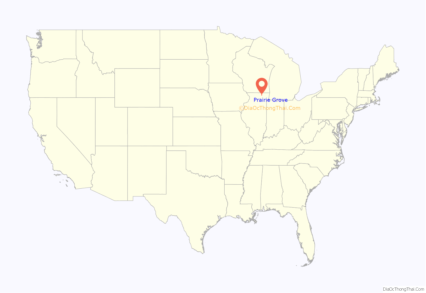
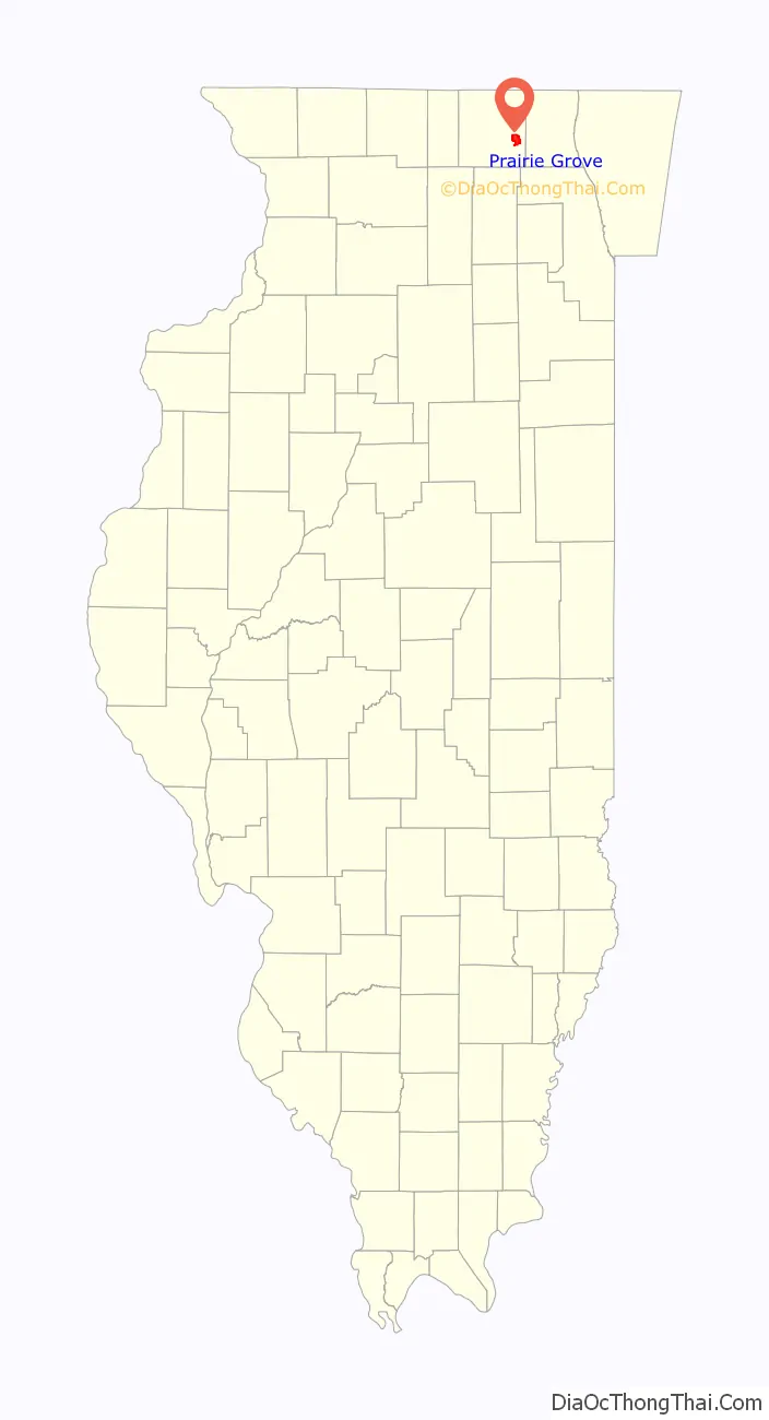
Prairie Grove is a village in McHenry County, Illinois, United States, first incorporated in 1973. Per the 2020 census, the population was 1,963.
| Name: | Prairie Grove village |
|---|---|
| LSAD Code: | 47 |
| LSAD Description: | village (suffix) |
| State: | Illinois |
| County: | McHenry County |
| Founded: | 1973 |
| Elevation: | 751 ft (229 m) |
| Total Area: | 5.68 sq mi (14.71 km²) |
| Land Area: | 5.68 sq mi (14.70 km²) |
| Water Area: | 0.00 sq mi (0.01 km²) |
| Total Population: | 1,963 |
| Population Density: | 345.78/sq mi (133.51/km²) |
| ZIP code: | 60012, 60014 |
| FIPS code: | 1761678 |
| Website: | https://www.prairiegrove.org/ |
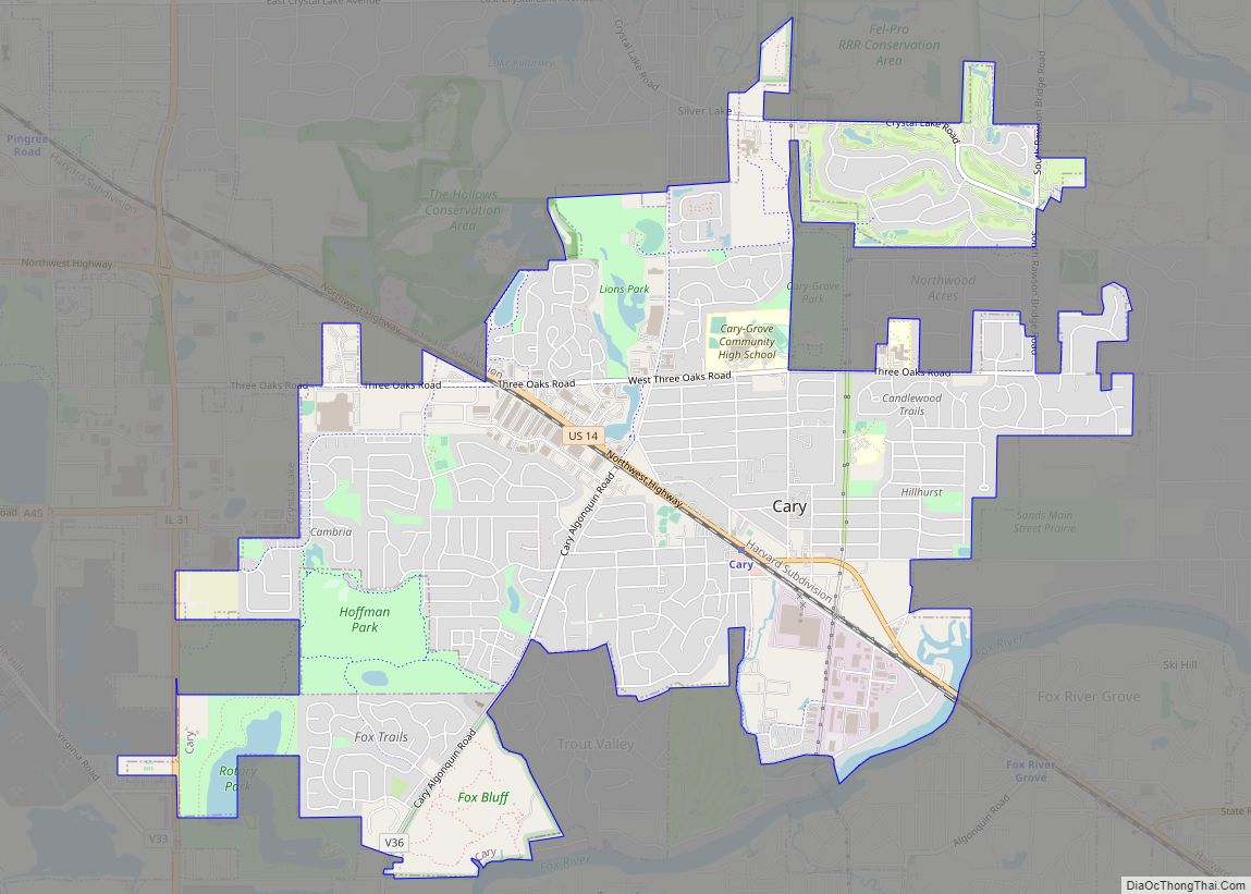
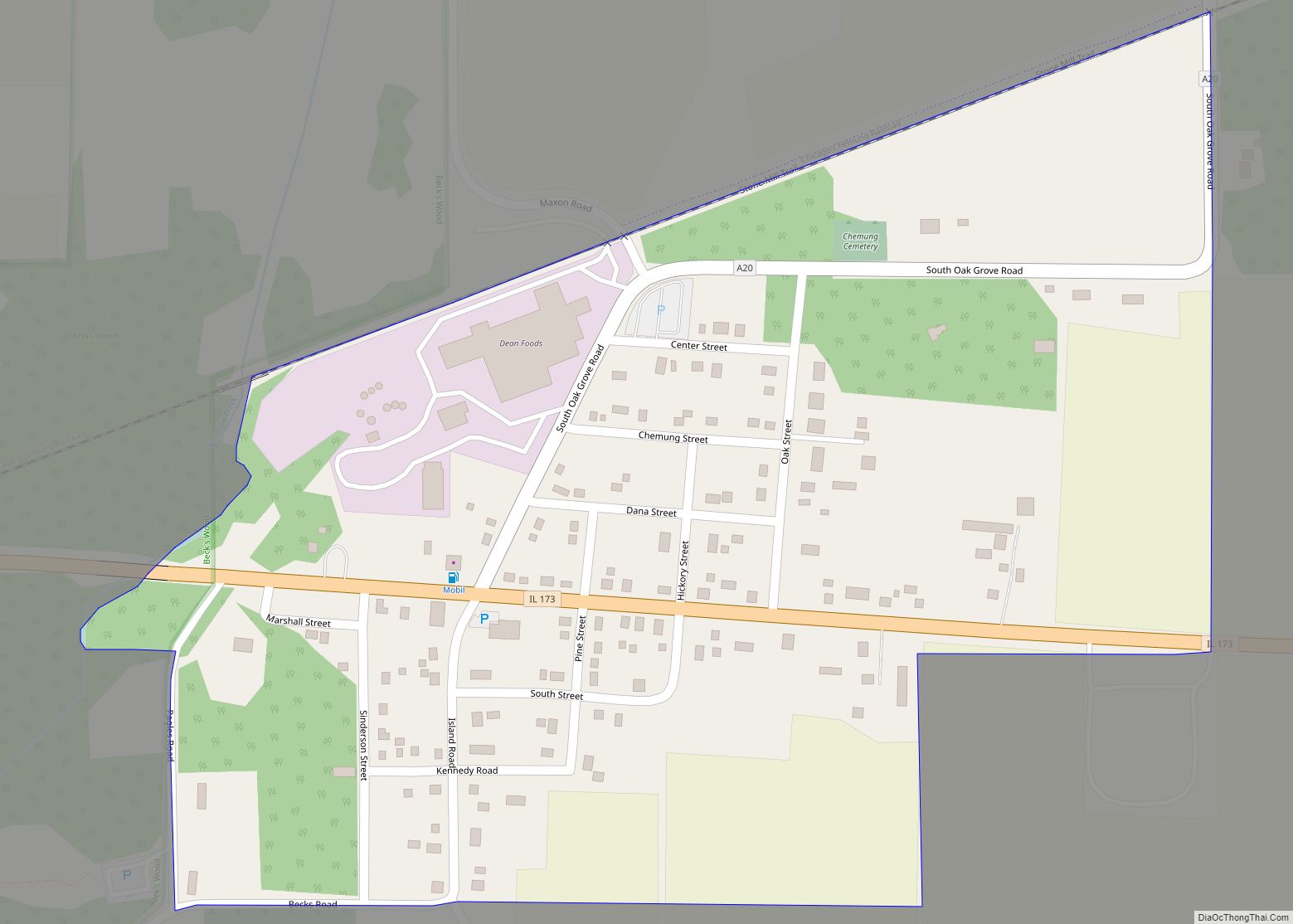
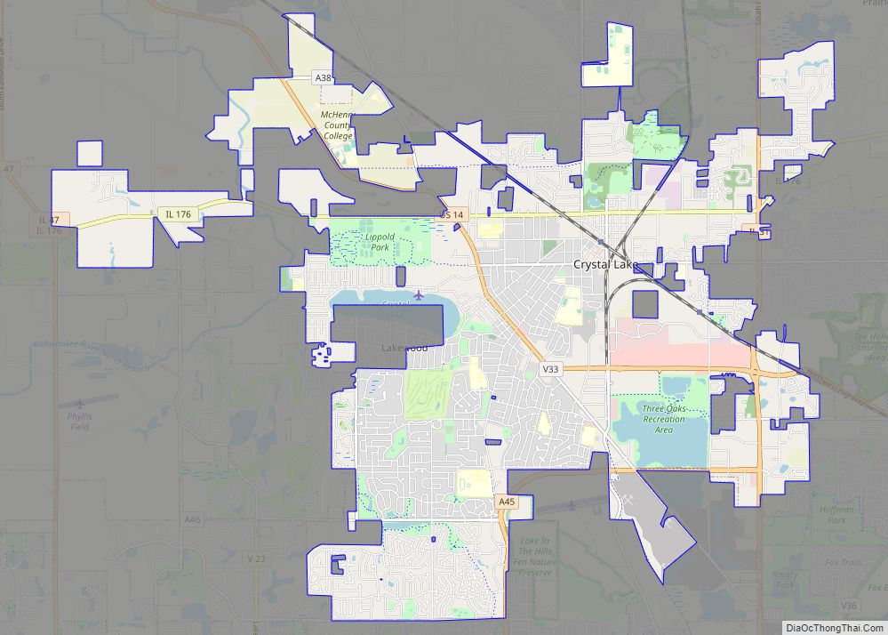
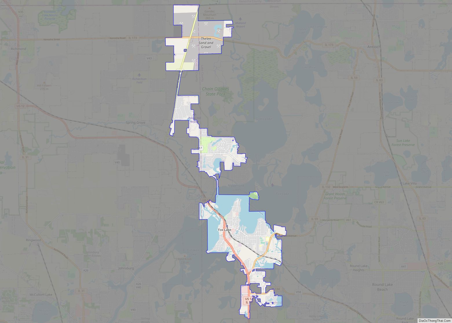
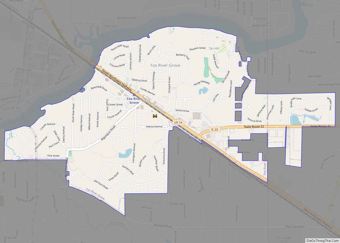
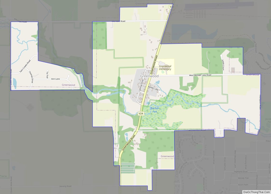
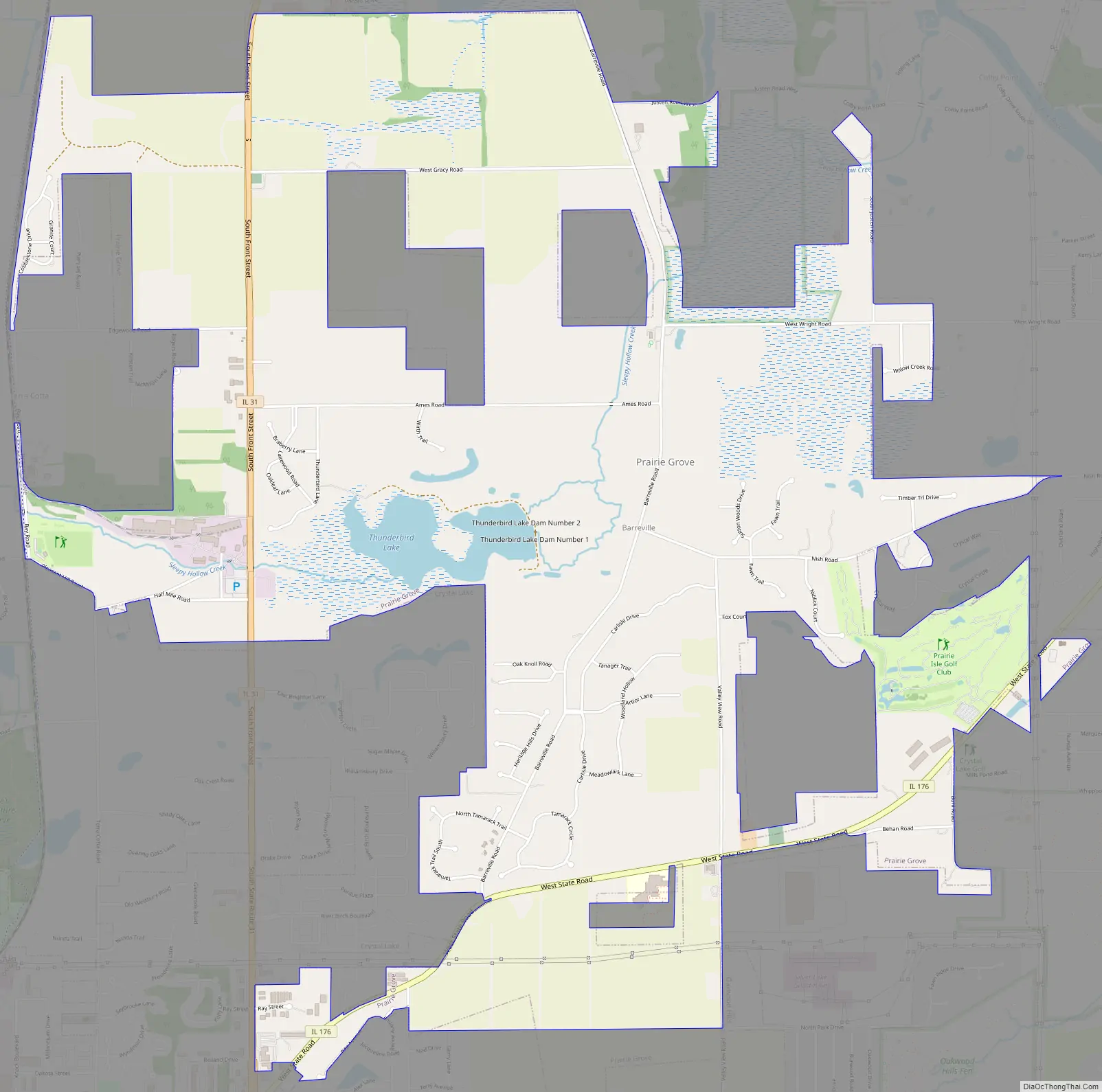
Online Interactive Map
Click on ![]() to view map in "full screen" mode.
to view map in "full screen" mode.
Prairie Grove location map. Where is Prairie Grove village?
History
Though Prairie Grove had been inhabited by settlers since the early 19th century in an area known as Barreville, the Village of Prairie Grove was incorporated in 1973. Since 2004, Prairie Grove has been a home rule community.
Prairie Grove Road Map
Prairie Grove city Satellite Map

Geography
Prairie Grove is located at 42°16′37″N 88°16′10″W / 42.27694°N 88.26944°W / 42.27694; -88.26944 (42.2768346, -88.2693750). According to the 2010 census, Prairie Grove has a total area of 5.714 square miles (14.80 km), of which 5.71 square miles (14.79 km) (or 99.93%) is land and 0.004 square miles (0.01 km) (or 0.07%) is water.
See also
Map of Illinois State and its subdivision:- Adams
- Alexander
- Bond
- Boone
- Brown
- Bureau
- Calhoun
- Carroll
- Cass
- Champaign
- Christian
- Clark
- Clay
- Clinton
- Coles
- Cook
- Crawford
- Cumberland
- De Kalb
- De Witt
- Douglas
- Dupage
- Edgar
- Edwards
- Effingham
- Fayette
- Ford
- Franklin
- Fulton
- Gallatin
- Greene
- Grundy
- Hamilton
- Hancock
- Hardin
- Henderson
- Henry
- Iroquois
- Jackson
- Jasper
- Jefferson
- Jersey
- Jo Daviess
- Johnson
- Kane
- Kankakee
- Kendall
- Knox
- La Salle
- Lake
- Lake Michigan
- Lawrence
- Lee
- Livingston
- Logan
- Macon
- Macoupin
- Madison
- Marion
- Marshall
- Mason
- Massac
- McDonough
- McHenry
- McLean
- Menard
- Mercer
- Monroe
- Montgomery
- Morgan
- Moultrie
- Ogle
- Peoria
- Perry
- Piatt
- Pike
- Pope
- Pulaski
- Putnam
- Randolph
- Richland
- Rock Island
- Saint Clair
- Saline
- Sangamon
- Schuyler
- Scott
- Shelby
- Stark
- Stephenson
- Tazewell
- Union
- Vermilion
- Wabash
- Warren
- Washington
- Wayne
- White
- Whiteside
- Will
- Williamson
- Winnebago
- Woodford
- Alabama
- Alaska
- Arizona
- Arkansas
- California
- Colorado
- Connecticut
- Delaware
- District of Columbia
- Florida
- Georgia
- Hawaii
- Idaho
- Illinois
- Indiana
- Iowa
- Kansas
- Kentucky
- Louisiana
- Maine
- Maryland
- Massachusetts
- Michigan
- Minnesota
- Mississippi
- Missouri
- Montana
- Nebraska
- Nevada
- New Hampshire
- New Jersey
- New Mexico
- New York
- North Carolina
- North Dakota
- Ohio
- Oklahoma
- Oregon
- Pennsylvania
- Rhode Island
- South Carolina
- South Dakota
- Tennessee
- Texas
- Utah
- Vermont
- Virginia
- Washington
- West Virginia
- Wisconsin
- Wyoming