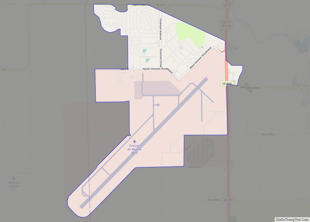
Grissom AFB CDP overview: Name: Grissom AFB CDP LSAD Code: 57 LSAD Description: CDP (suffix) State: Indiana County: Cass County, Miami County FIPS code: 1830060 Online Interactive Map Grissom AFB online map. Source: Basemap layers from Google Map, Open Street Map (OSM), Arcgisonline, Wmflabs. Boundary Data from Database of Global Administrative Areas. Grissom AFB location ... Read more
Indiana Cities and Places
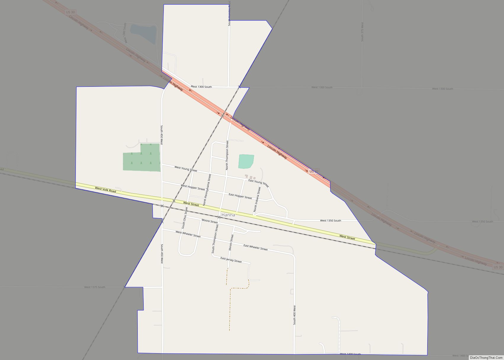
Hanna is an unincorporated community and census-designated place in Hanna Township, LaPorte County, Indiana, United States. It had a population of 463 at the 2010 census. Hanna CDP overview: Name: Hanna CDP LSAD Code: 57 LSAD Description: CDP (suffix) State: Indiana County: LaPorte County Elevation: 709 ft (216 m) Total Area: 0.98 sq mi (2.53 km²) Land Area: 0.98 sq mi (2.53 km²) ... Read more
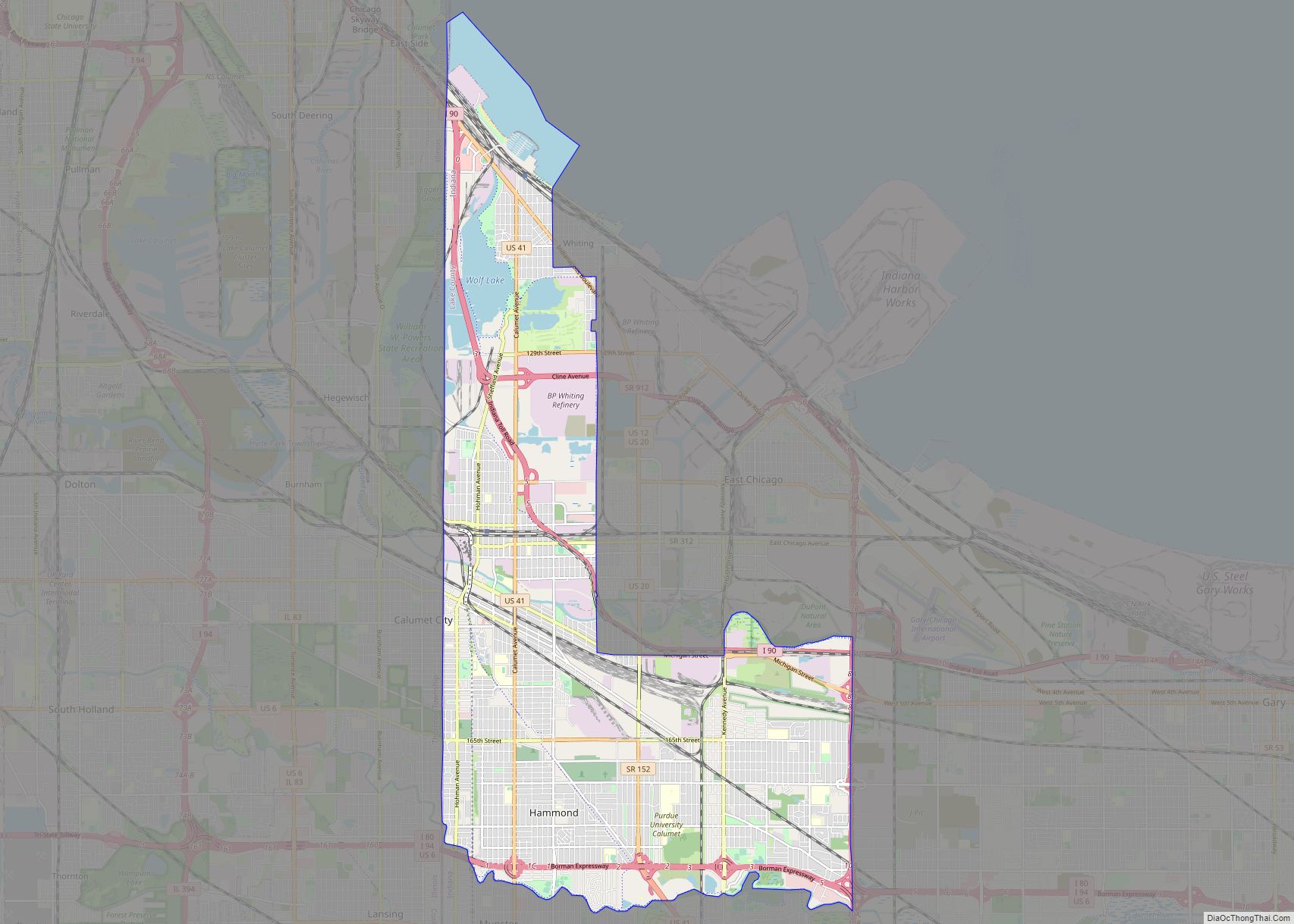
Hammond (/ˈhæmənd/ HAM-ənd) is a city in Lake County, Indiana, United States. It is part of the Chicago metropolitan area, and the only city in Indiana to border Chicago. First settled in the mid-19th century, it is one of the oldest cities of northern Lake County. As of the 2020 United States census, it is ... Read more
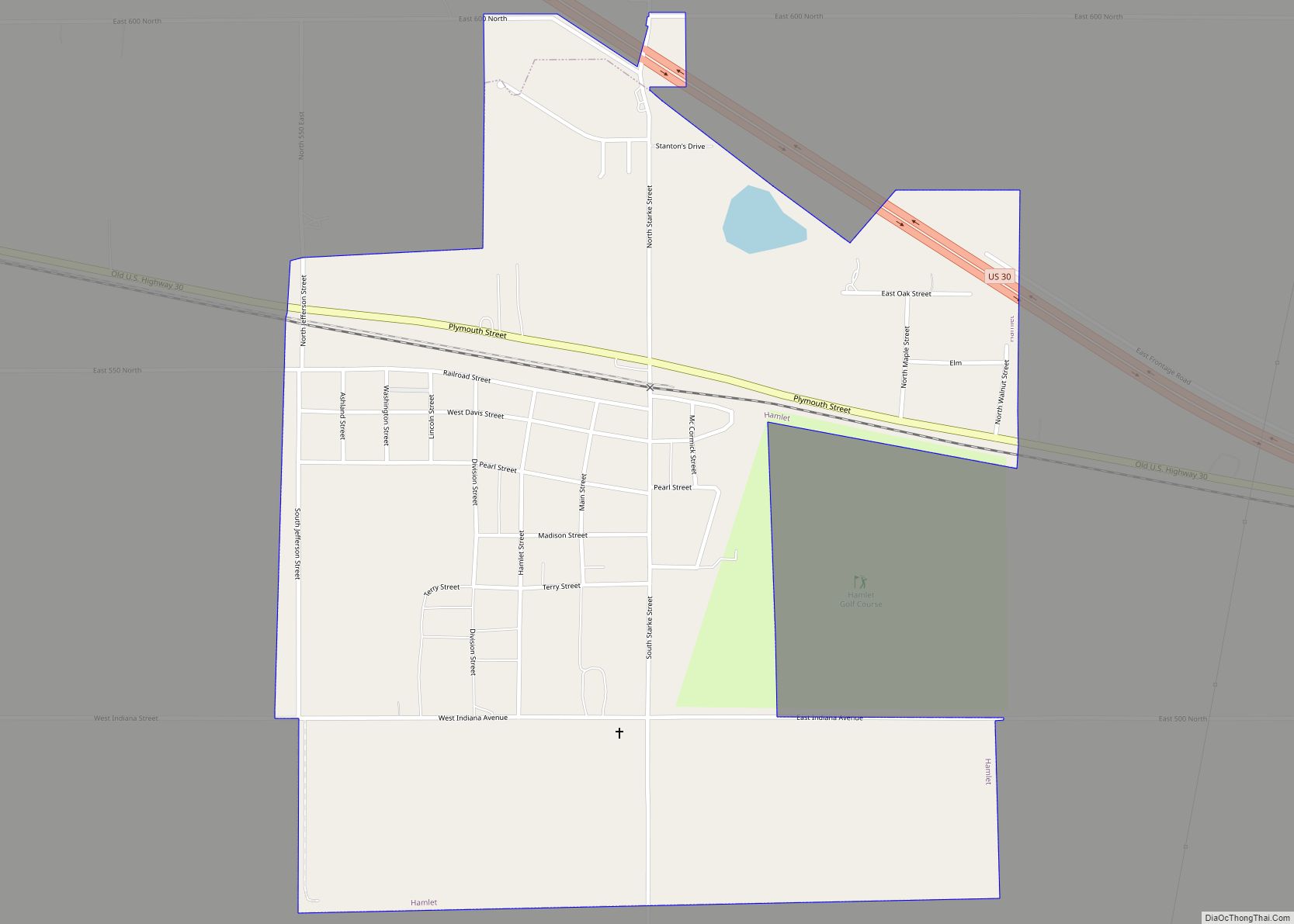
Hamlet is a town in Davis and Oregon Townships, Starke County, in the U.S. state of Indiana. The population was 800 as of the 2010 census. Hamlet town overview: Name: Hamlet town LSAD Code: 43 LSAD Description: town (suffix) State: Indiana County: Starke County Elevation: 705 ft (215 m) Total Area: 0.97 sq mi (2.53 km²) Land Area: 0.96 sq mi (2.50 km²) ... Read more
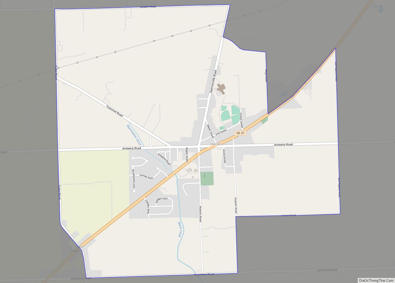
Harlan is an unincorporated census-designated place (CDP) in Springfield Township, Allen County, in the U.S. state of Indiana. As of the 2010 census, Harlan had a population of 1,634. Harlan CDP overview: Name: Harlan CDP LSAD Code: 57 LSAD Description: CDP (suffix) State: Indiana County: Allen County Elevation: 784 ft (239 m) Total Area: 3.10 sq mi (8.04 km²) Land ... Read more
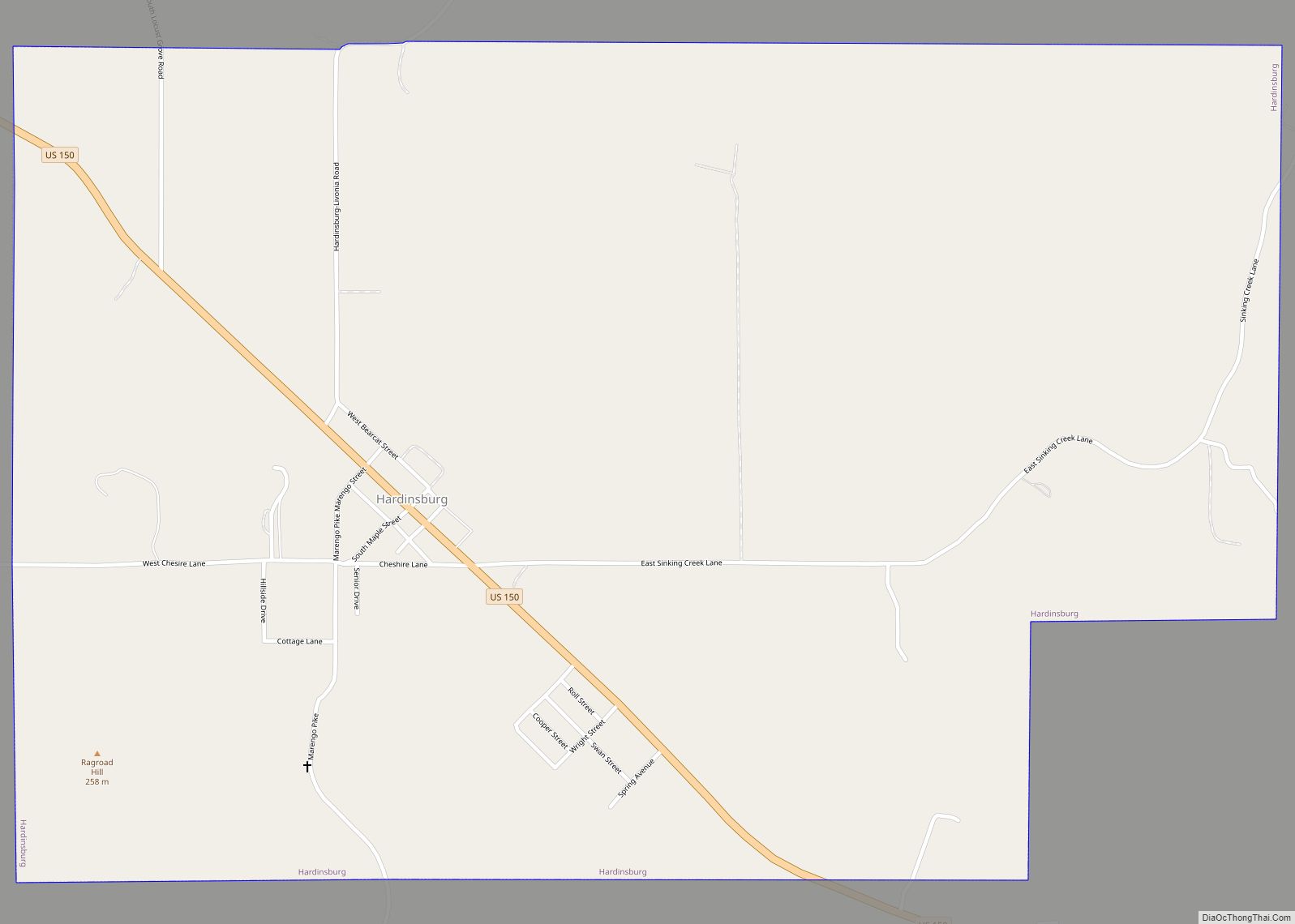
Hardinsburg is a town in Posey Township, Washington County, in the U.S. state of Indiana. The population was 248 at the 2010 census. Hardinsburg town overview: Name: Hardinsburg town LSAD Code: 43 LSAD Description: town (suffix) State: Indiana County: Washington County Elevation: 689 ft (210 m) Total Area: 2.04 sq mi (5.28 km²) Land Area: 2.04 sq mi (5.27 km²) Water Area: 0.00 sq mi ... Read more
Hanover is a town in Hanover Township, Jefferson County, southeast Indiana, along the Ohio River. The population was 3,546 at the 2010 census. Hanover is the home of Hanover College, a small Presbyterian liberal arts college. The “Point,” located on the campus of Hanover College, is the only place along the Ohio River that three ... Read more
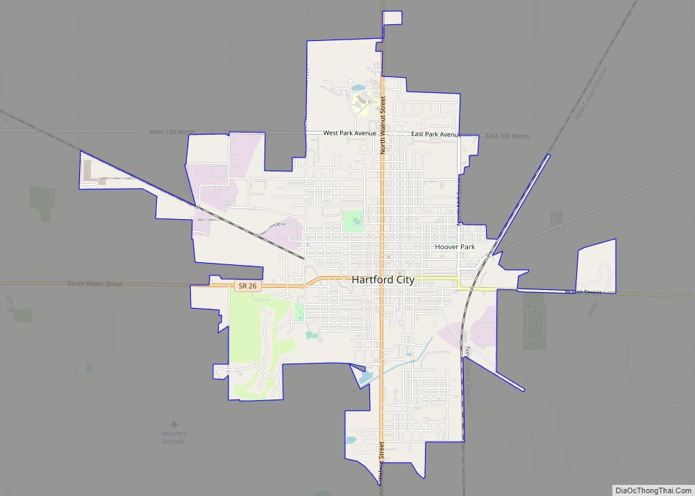
Hartford City is a city in the U.S. state of Indiana, and the county seat of Blackford County. Located in the northeast central portion of the state, the small farming community underwent a dramatic 15-year economic boom beginning in the late 1880s. The Indiana Gas Boom resulted from the discovery and exploitation of natural gas ... Read more
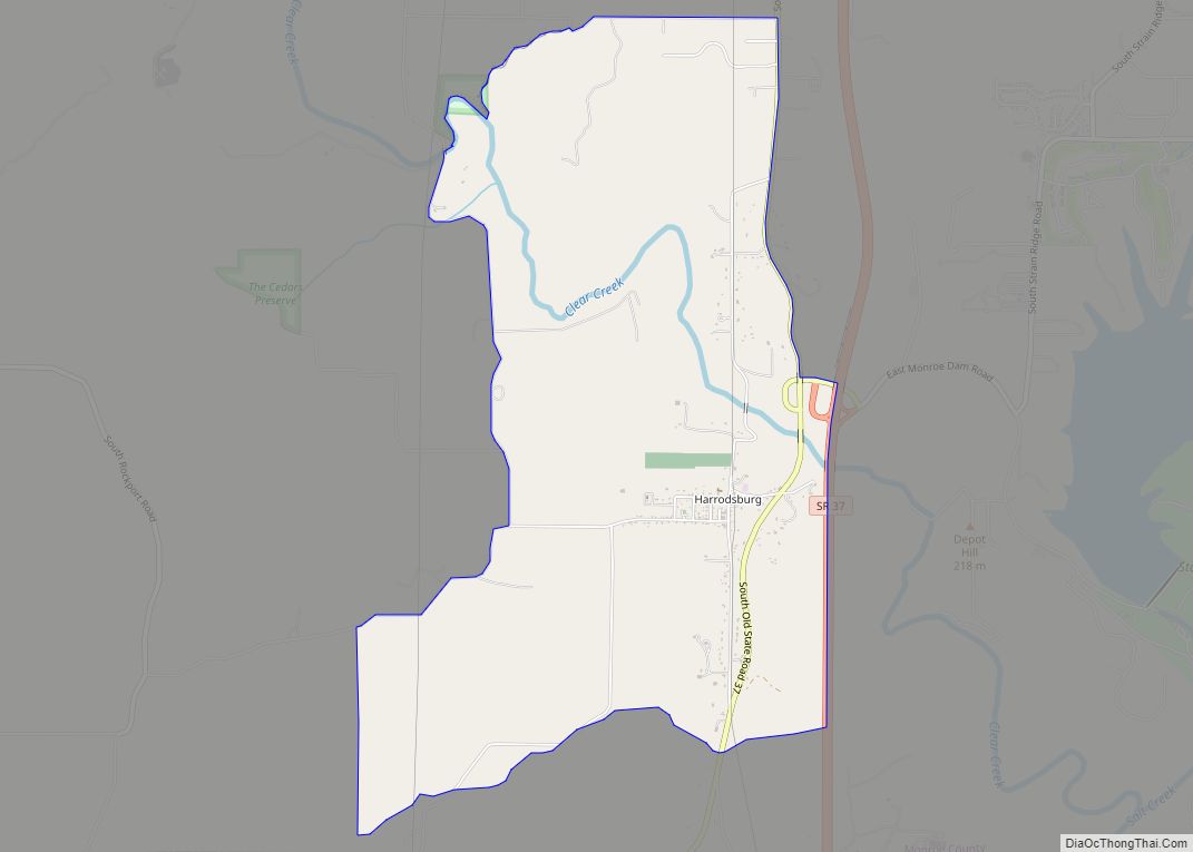
Harrodsburg is an unincorporated community and census-designated place (CDP) in Clear Creek Township, Monroe County, in the U.S. state of Indiana. Its population was 656 at the 2020 census. Harrodsburg CDP overview: Name: Harrodsburg CDP LSAD Code: 57 LSAD Description: CDP (suffix) State: Indiana County: Monroe County Elevation: 558 ft (170 m) Total Area: 4.35 sq mi (11.27 km²) Land ... Read more
Harmony is a town in Van Buren Township, Clay County, Indiana, United States. The population was 656 at the 2010 census. It is part of the Terre Haute Metropolitan Statistical Area. Harmony town overview: Name: Harmony town LSAD Code: 43 LSAD Description: town (suffix) State: Indiana County: Clay County Elevation: 719 ft (219 m) Total Area: 0.82 sq mi ... Read more
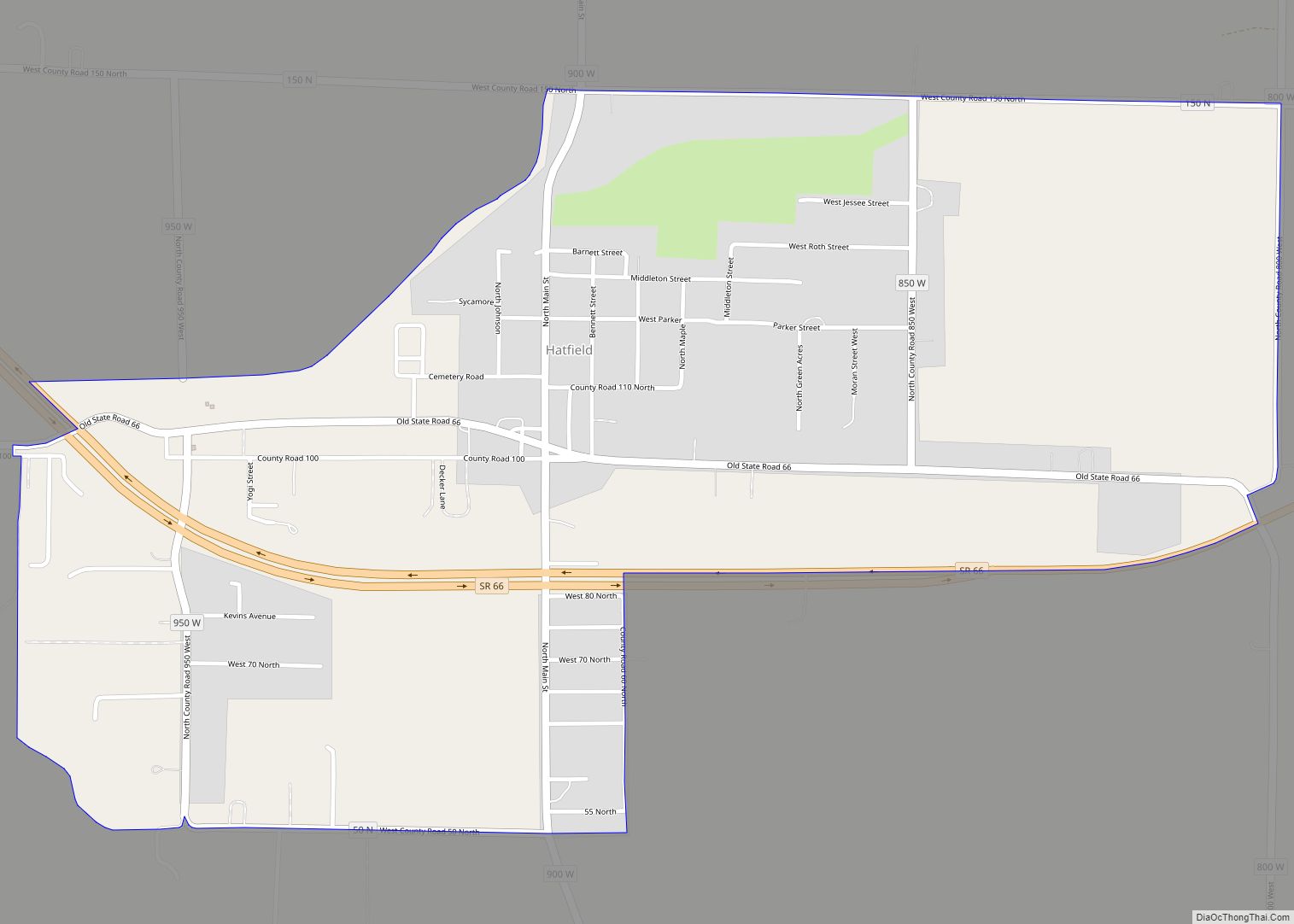
Hatfield is an unincorporated census-designated place in Luce Township, Spencer County, in the U.S. state of Indiana. Its population was 813 at the 2010 census. Hatfield CDP overview: Name: Hatfield CDP LSAD Code: 57 LSAD Description: CDP (suffix) State: Indiana County: Spencer County Elevation: 384 ft (117 m) Total Area: 1.17 sq mi (3.03 km²) Land Area: 1.17 sq mi (3.03 km²) Water ... Read more
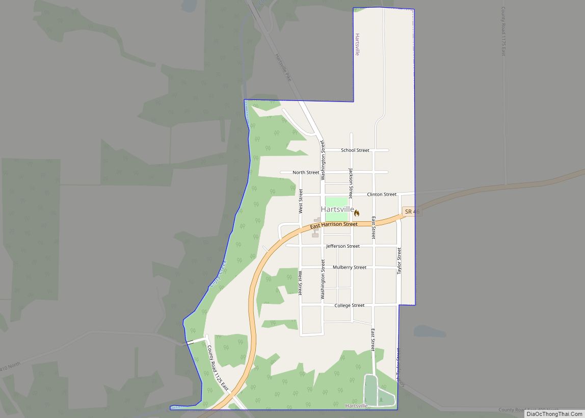
Hartsville is a town in Haw Creek and Clifty townships, Bartholomew County, Indiana, United States. The population was 362 at the 2010 census. It is part of the Columbus, Indiana metropolitan statistical area. Hartsville town overview: Name: Hartsville town LSAD Code: 43 LSAD Description: town (suffix) State: Indiana County: Bartholomew County Elevation: 761 ft (232 m) Total ... Read more
