Hartford City is a city in the U.S. state of Indiana, and the county seat of Blackford County. Located in the northeast central portion of the state, the small farming community underwent a dramatic 15-year economic boom beginning in the late 1880s. The Indiana Gas Boom resulted from the discovery and exploitation of natural gas in the area. The rural economy was transformed to one that included manufacturing. The boom attracted workers and residents, retail establishments, and craftspeople. The increased population was a catalyst for the construction of roads, schools, and churches. After the boom came a long period of growth and stability. Agriculture (and agricultural trade) remained as the basis for the economy.
From the 1920s through the 1970s, Hartford City continued to thrive. Agricultural automation and consolidation of small farms into industrial-size farms resulted in a decline in the population; the small farmer became unable to compete and fewer laborers were needed. Some workers turned to the manufacturing and construction sectors for employment in nearby cities. However, manufacturing hubs such as Muncie and Marion suffered the collapse of their economies during industrial restructuring when large factories closed. Despite the decline, Hartford City was able to retain the paper company, 3M.
The city government has concentrated on bringing manufacturing to Hartford City and has had some success in securing state funding for businesses that use recycled or agricultural materials in the manufacturing process. Younger people leave to attend college and pursue professional careers outside the scope of those available in Hartford City. Community college, private colleges, and a university are within commuting distance; however, Hartford City lacks rental housing appropriate to college students or young adults. The town’s population was 6,220 at the 2010 United States Census.
| Name: | Hartford City city |
|---|---|
| LSAD Code: | 25 |
| LSAD Description: | city (suffix) |
| State: | Indiana |
| County: | Blackford County |
| Elevation: | 919 ft (280 m) |
| Total Area: | 3.90 sq mi (10.10 km²) |
| Land Area: | 3.88 sq mi (10.05 km²) |
| Water Area: | 0.02 sq mi (0.05 km²) |
| Total Population: | 6,086 |
| Population Density: | 1,567.75/sq mi (605.34/km²) |
| ZIP code: | 47348 |
| Area code: | 765 |
| FIPS code: | 1832242 |
| GNISfeature ID: | 0435826 |
| Website: | http://www.hartfordcity.net |
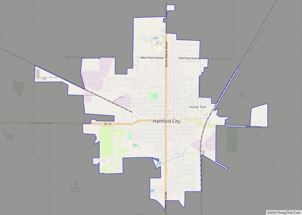
Online Interactive Map
Click on ![]() to view map in "full screen" mode.
to view map in "full screen" mode.
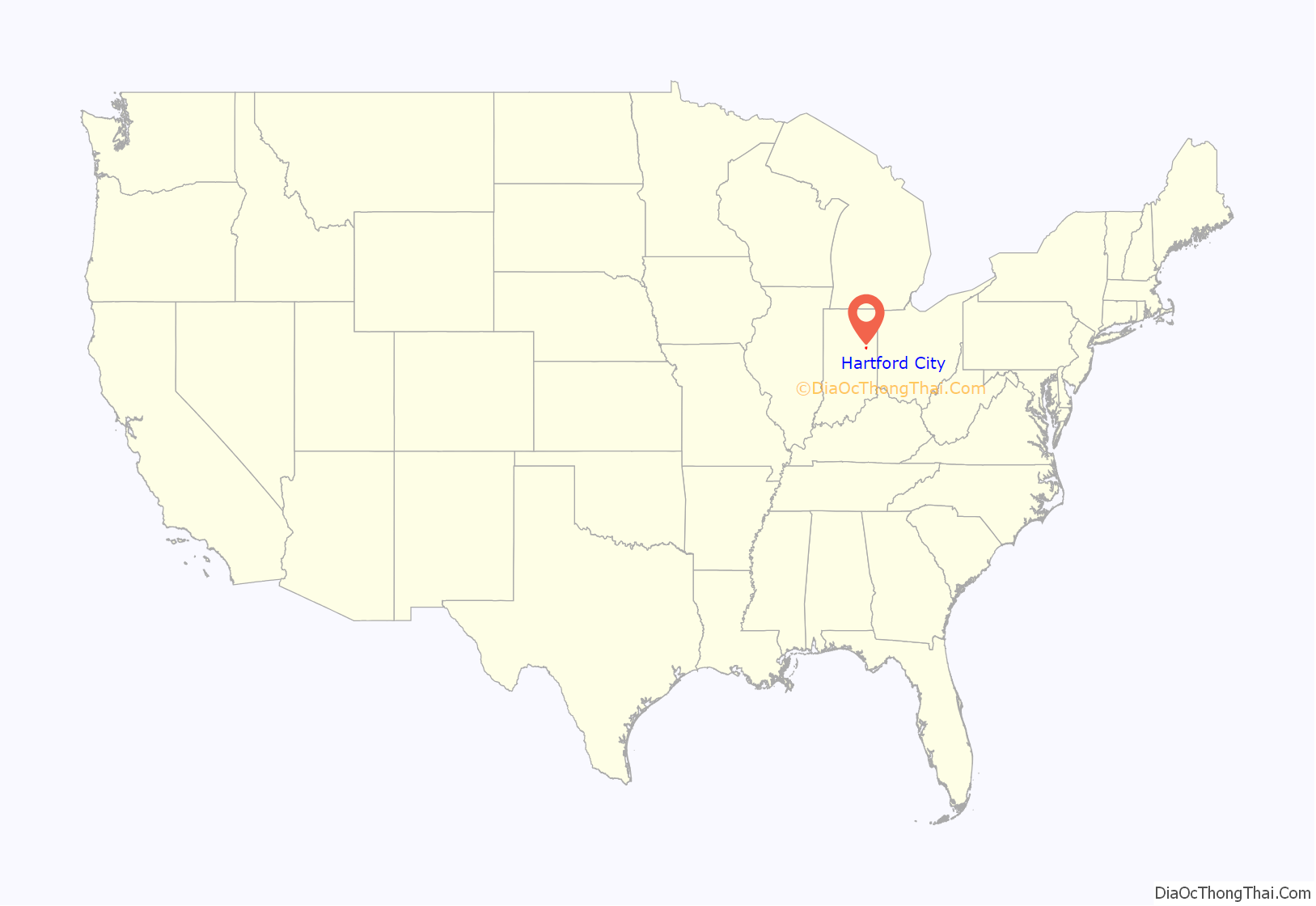
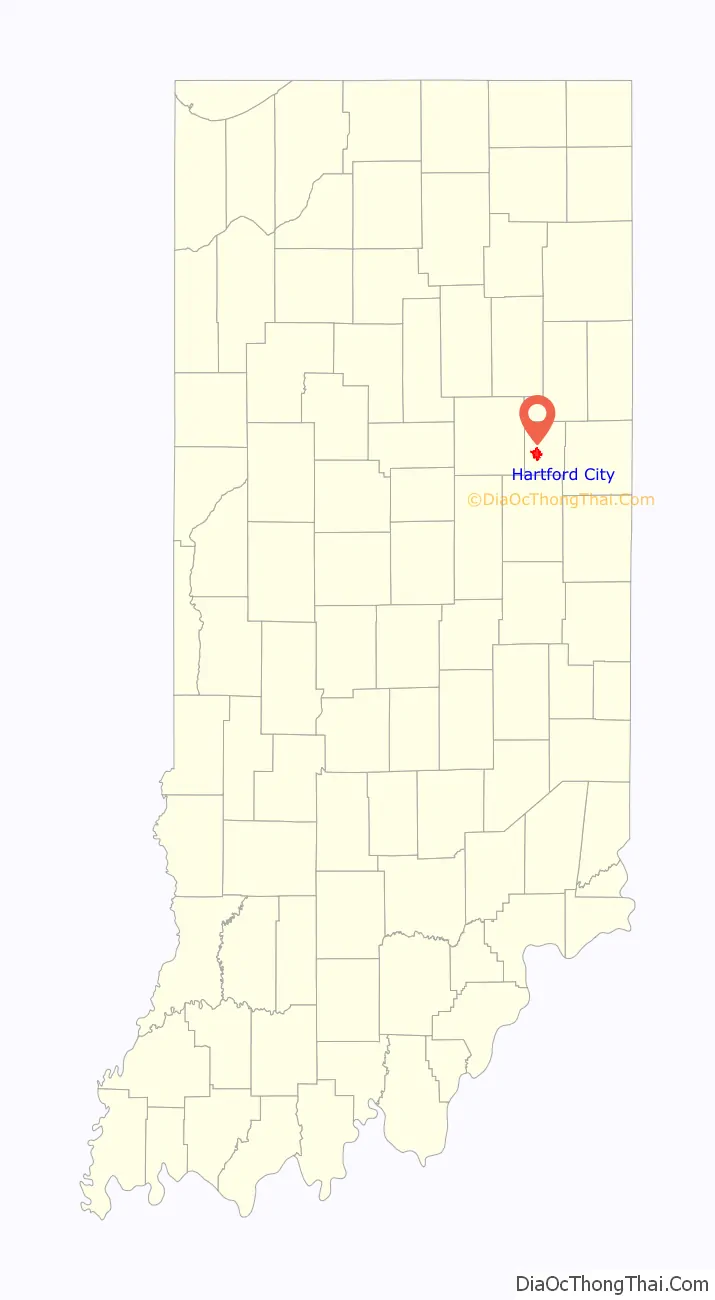
Hartford City location map. Where is Hartford City city?
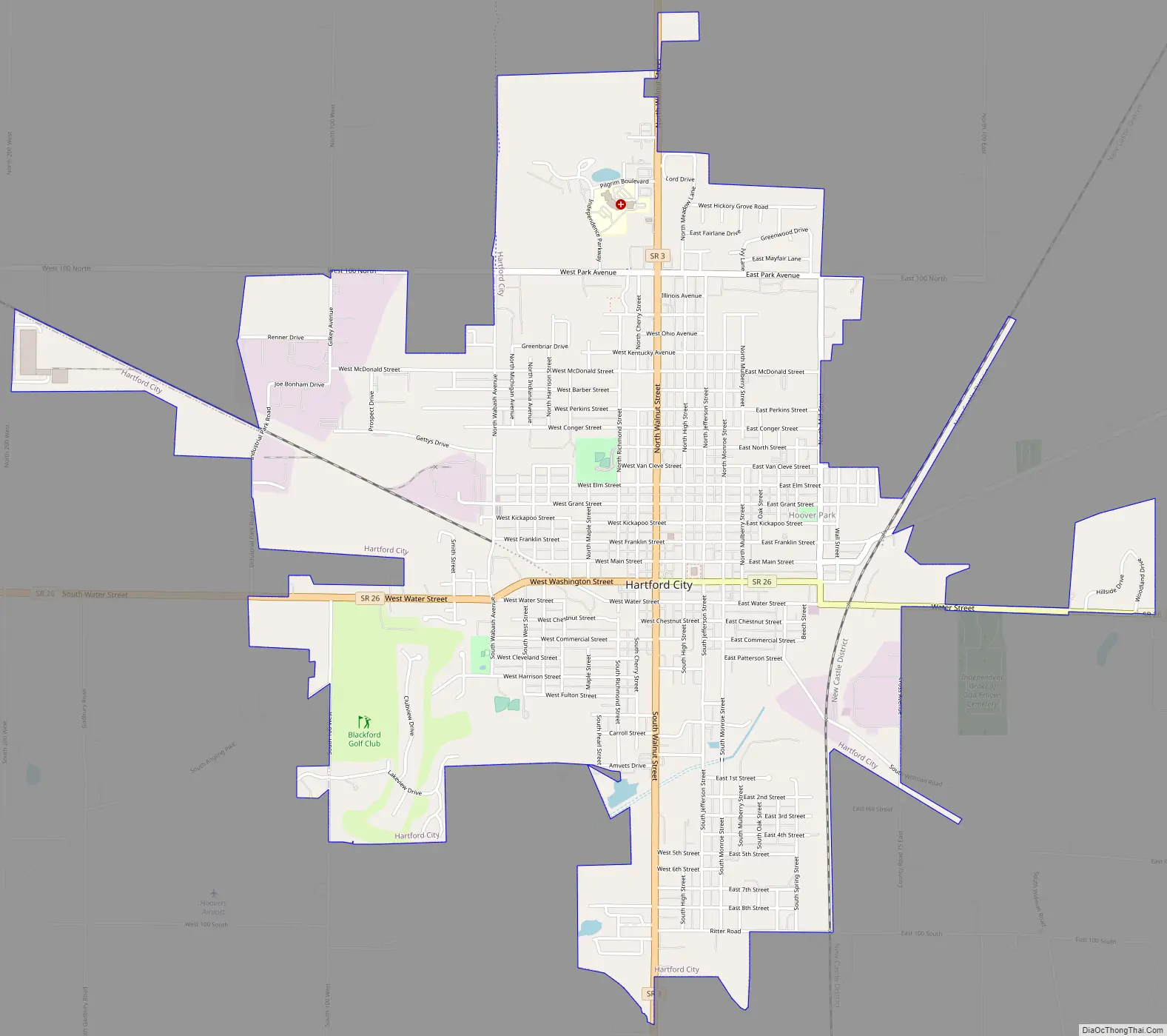
Hartford City Road Map
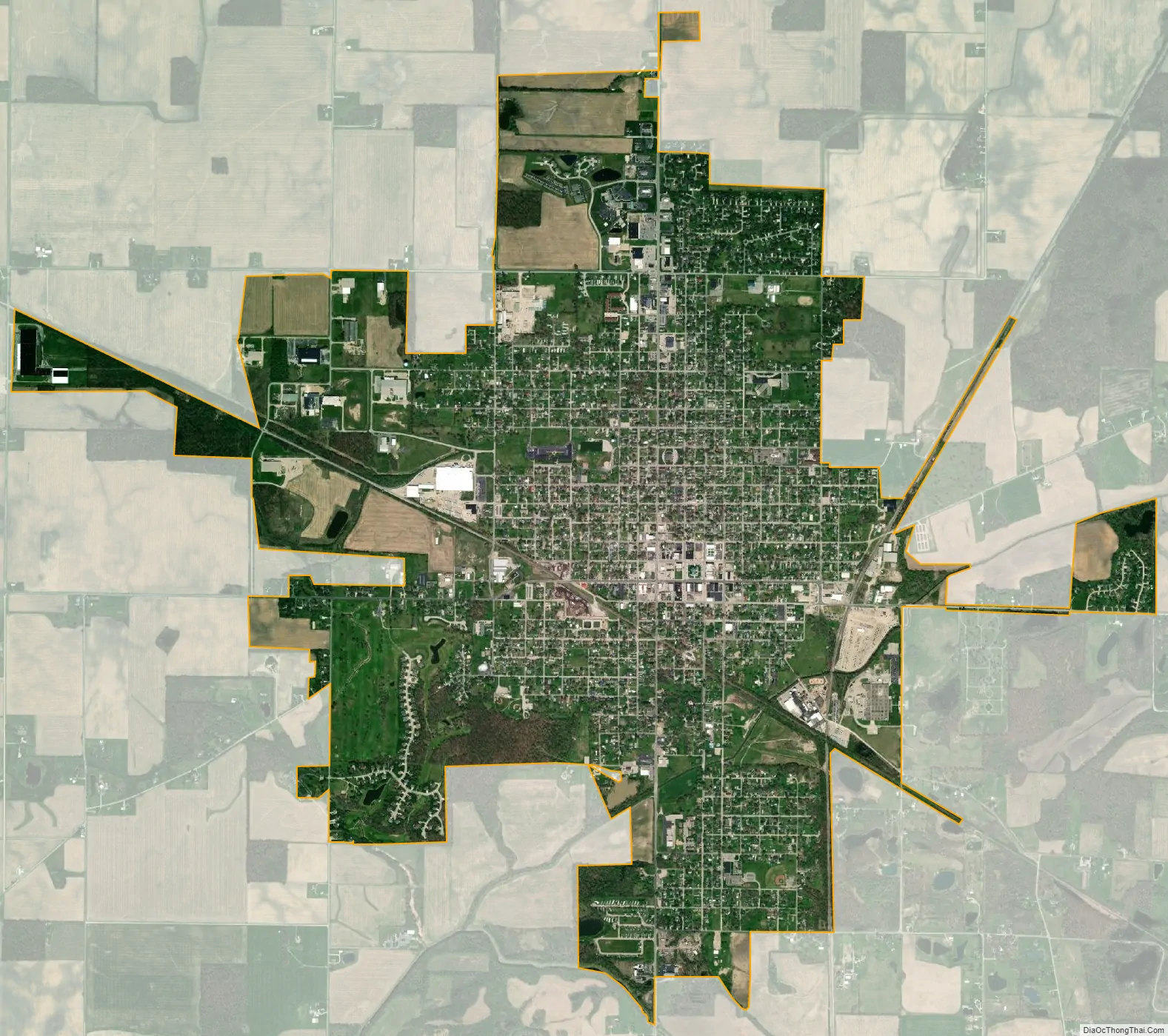
Hartford City city Satellite Map
Geography
Hartford City is located at 40°27′9″N 85°22′10″W / 40.45250°N 85.36944°W / 40.45250; -85.36944 (40.4525, -85.3693). The area sits on top of former natural gas fields. The area also has limestone formed from silt and mud deposits of an ancient sea. The land is flat from the effect of a prehistoric glacier, and the soil is excellent for farming. According to the 2010 census, Hartford City has a total area of 3.901 square miles (10.10 km), of which 3.88 square miles (10.05 km) (or 99.46%) is land and 0.021 square miles (0.05 km) (or 0.54%) is water.
Major highways
- Indiana State Road 3
- Indiana State Road 26
- Interstate 69 (less than 10 miles (16 km) west of city)
Adjacent cities
- Upland − about 8 highway miles west
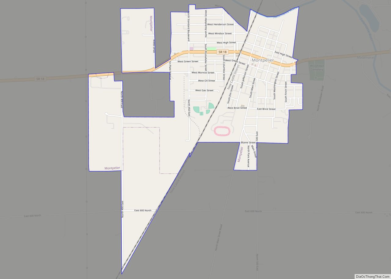
- Montpelier − about 12 highway miles northeast
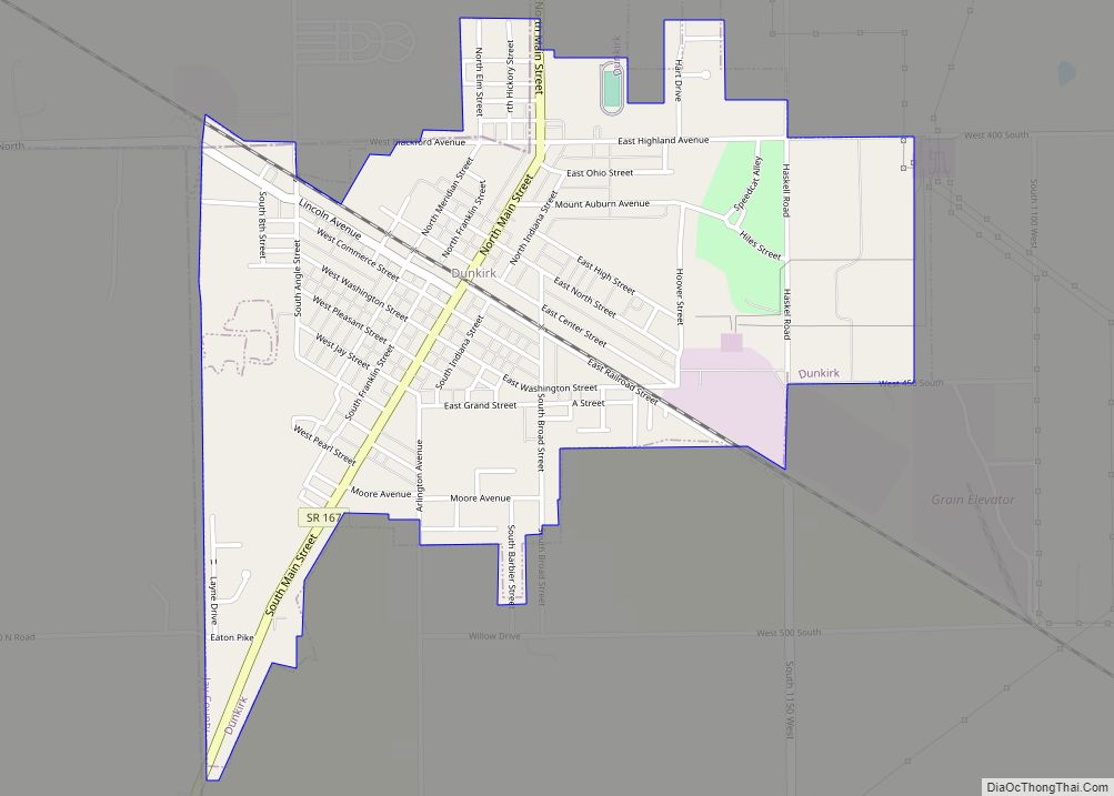
- Dunkirk − about 14 highway miles southeast
- Muncie − about 19 highway miles south
- Marion − about 23 highway miles northwest
Climate
Hartford City has a typical Midwestern humid continental seasonal climate. There are four distinct seasons, with winters being cold with moderate snowfall, while summers can be warm and humid. The highest average temperature is in July at 84 °F (29 °C), while the lowest average temperature is in January at 18 °F (−8 °C). However, summer temperatures can top 90 °F (32 °C), and winter temperatures can drop below 0 °F (−18 °C). Average monthly precipitation ranges from about 2 to 4 inches (5.1 to 10.2 centimetres), with the heaviest occurring during June, July, and August. The highest recorded temperature was 103.0 °F (39.4 °C) on June 25, 1988, and the lowest recorded temperature was −26.0 °F (−32.2 °C) on January 19, 1994.
See also
Map of Indiana State and its subdivision:- Adams
- Allen
- Bartholomew
- Benton
- Blackford
- Boone
- Brown
- Carroll
- Cass
- Clark
- Clay
- Clinton
- Crawford
- Daviess
- De Kalb
- Dearborn
- Decatur
- Delaware
- Dubois
- Elkhart
- Fayette
- Floyd
- Fountain
- Franklin
- Fulton
- Gibson
- Grant
- Greene
- Hamilton
- Hancock
- Harrison
- Hendricks
- Henry
- Howard
- Huntington
- Jackson
- Jasper
- Jay
- Jefferson
- Jennings
- Johnson
- Knox
- Kosciusko
- LaGrange
- Lake
- Lake Michigan
- LaPorte
- Lawrence
- Madison
- Marion
- Marshall
- Martin
- Miami
- Monroe
- Montgomery
- Morgan
- Newton
- Noble
- Ohio
- Orange
- Owen
- Parke
- Perry
- Pike
- Porter
- Posey
- Pulaski
- Putnam
- Randolph
- Ripley
- Rush
- Saint Joseph
- Scott
- Shelby
- Spencer
- Starke
- Steuben
- Sullivan
- Switzerland
- Tippecanoe
- Tipton
- Union
- Vanderburgh
- Vermillion
- Vigo
- Wabash
- Warren
- Warrick
- Washington
- Wayne
- Wells
- White
- Whitley
- Alabama
- Alaska
- Arizona
- Arkansas
- California
- Colorado
- Connecticut
- Delaware
- District of Columbia
- Florida
- Georgia
- Hawaii
- Idaho
- Illinois
- Indiana
- Iowa
- Kansas
- Kentucky
- Louisiana
- Maine
- Maryland
- Massachusetts
- Michigan
- Minnesota
- Mississippi
- Missouri
- Montana
- Nebraska
- Nevada
- New Hampshire
- New Jersey
- New Mexico
- New York
- North Carolina
- North Dakota
- Ohio
- Oklahoma
- Oregon
- Pennsylvania
- Rhode Island
- South Carolina
- South Dakota
- Tennessee
- Texas
- Utah
- Vermont
- Virginia
- Washington
- West Virginia
- Wisconsin
- Wyoming