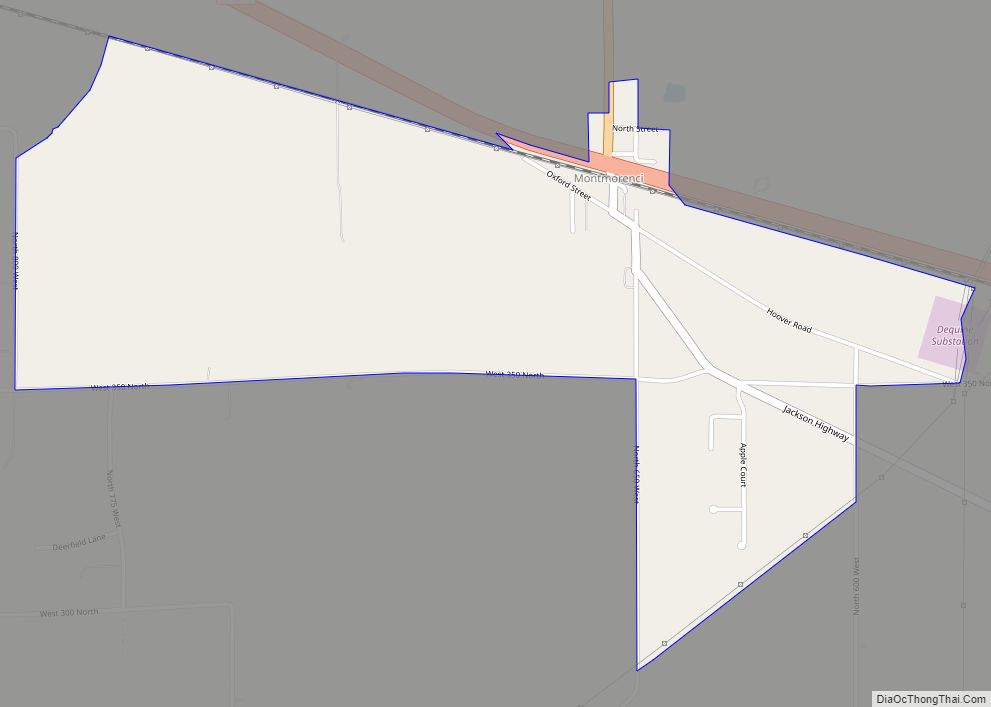
Montmorenci is an unincorporated census-designated place in Shelby Township, Tippecanoe County, Indiana. Older maps sometimes spell the name Montmorency or Montmorencie. It is part of the Lafayette, Indiana Metropolitan Statistical Area. Montmorenci CDP overview: Name: Montmorenci CDP LSAD Code: 57 LSAD Description: CDP (suffix) State: Indiana County: Tippecanoe County Elevation: 699 ft (213 m) Total Area: 1.59 sq mi ... Read more
Indiana Cities and Places
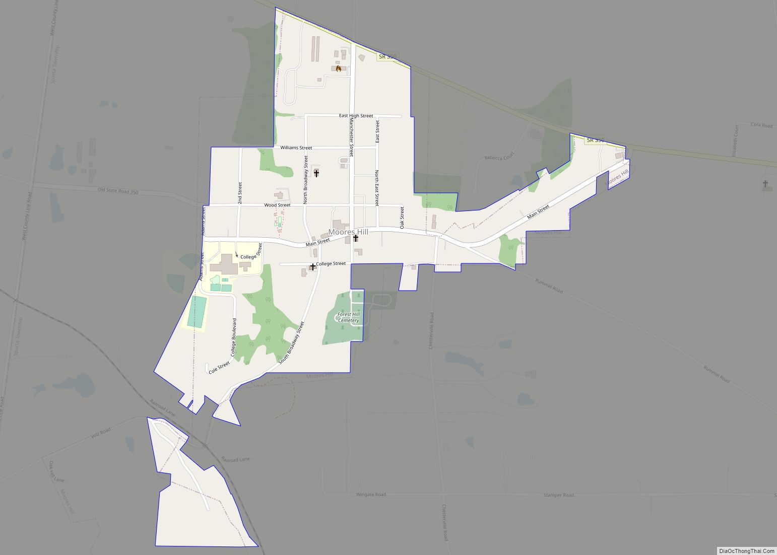
Moores Hill is a town in Sparta Township, Dearborn County, Indiana, United States. The population was 597 at the 2010 census. Moores Hill town overview: Name: Moores Hill town LSAD Code: 43 LSAD Description: town (suffix) State: Indiana County: Dearborn County Elevation: 991 ft (302 m) Total Area: 0.43 sq mi (1.11 km²) Land Area: 0.43 sq mi (1.11 km²) Water Area: 0.00 sq mi ... Read more
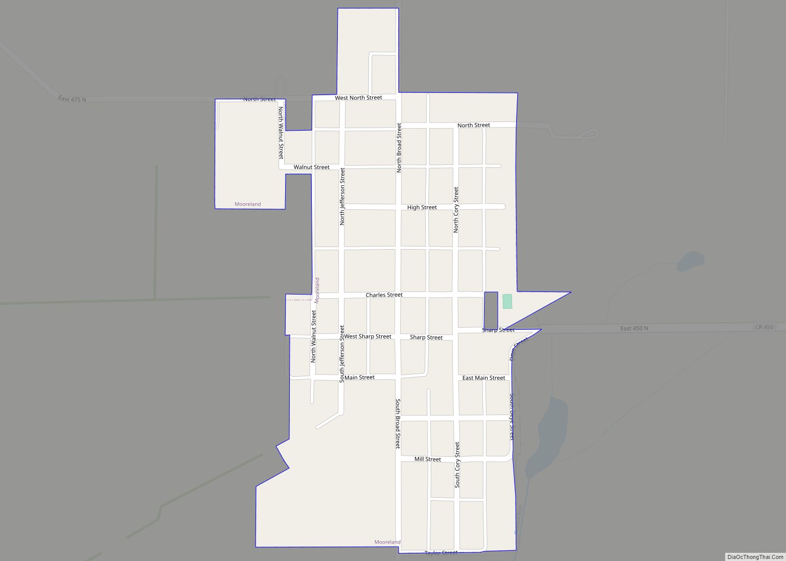
Mooreland is a town in Blue River Township, Henry County, Indiana, United States. The population was 375 at the 2010 census. Mooreland town overview: Name: Mooreland town LSAD Code: 43 LSAD Description: town (suffix) State: Indiana County: Henry County Elevation: 1,138 ft (347 m) Total Area: 0.14 sq mi (0.37 km²) Land Area: 0.14 sq mi (0.37 km²) Water Area: 0.00 sq mi (0.00 km²) Total ... Read more
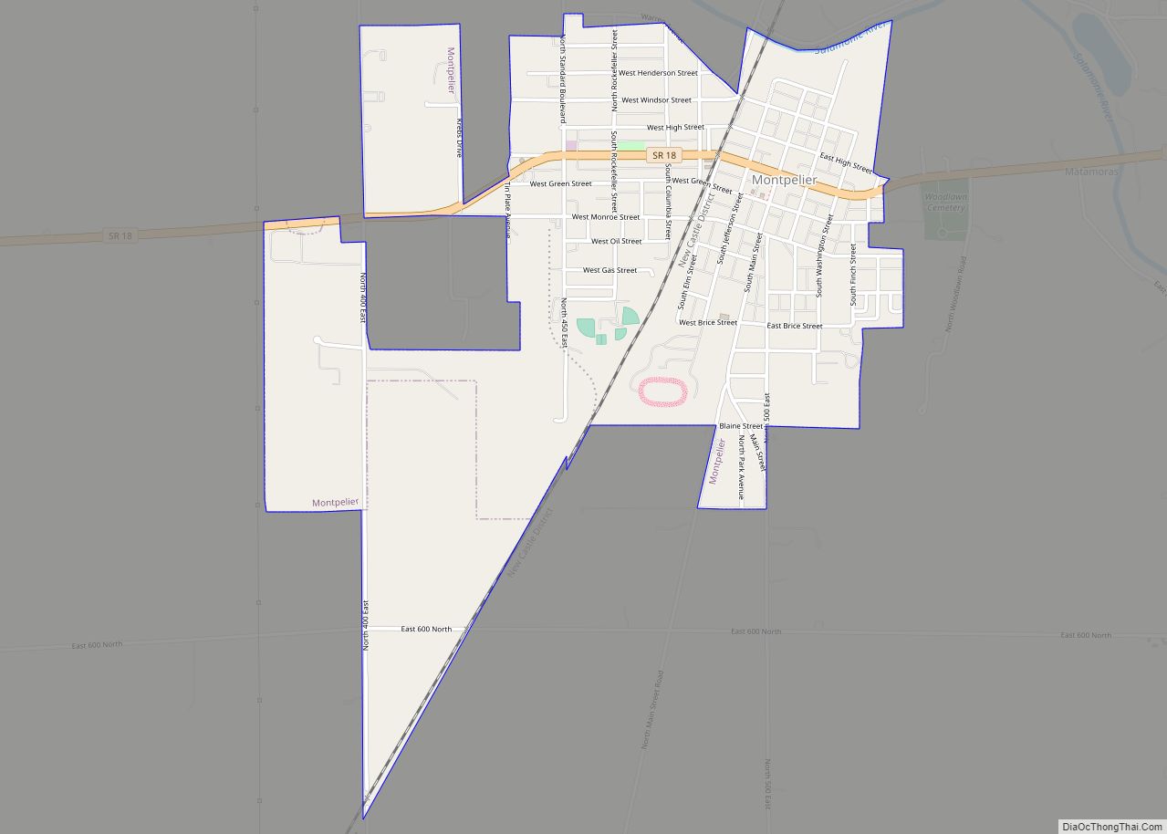
Montpelier /mɒntˈpiːliər/ is a city in Harrison Township, Blackford County, in the U.S. state of Indiana. This small rural community, the county’s first to be platted, was established by settlers from Vermont, and is named after Vermont’s capital city of Montpelier. Montpelier was a central participant in the Indiana Gas Boom, as natural gas was ... Read more
Morocco is a town in Beaver Township, Newton County, in the U.S. state of Indiana. The population was 1,129 at the 2010 census. Morocco town overview: Name: Morocco town LSAD Code: 43 LSAD Description: town (suffix) State: Indiana County: Newton County Elevation: 699 ft (213 m) Total Area: 1.07 sq mi (2.76 km²) Land Area: 1.07 sq mi (2.76 km²) Water Area: 0.00 sq mi ... Read more
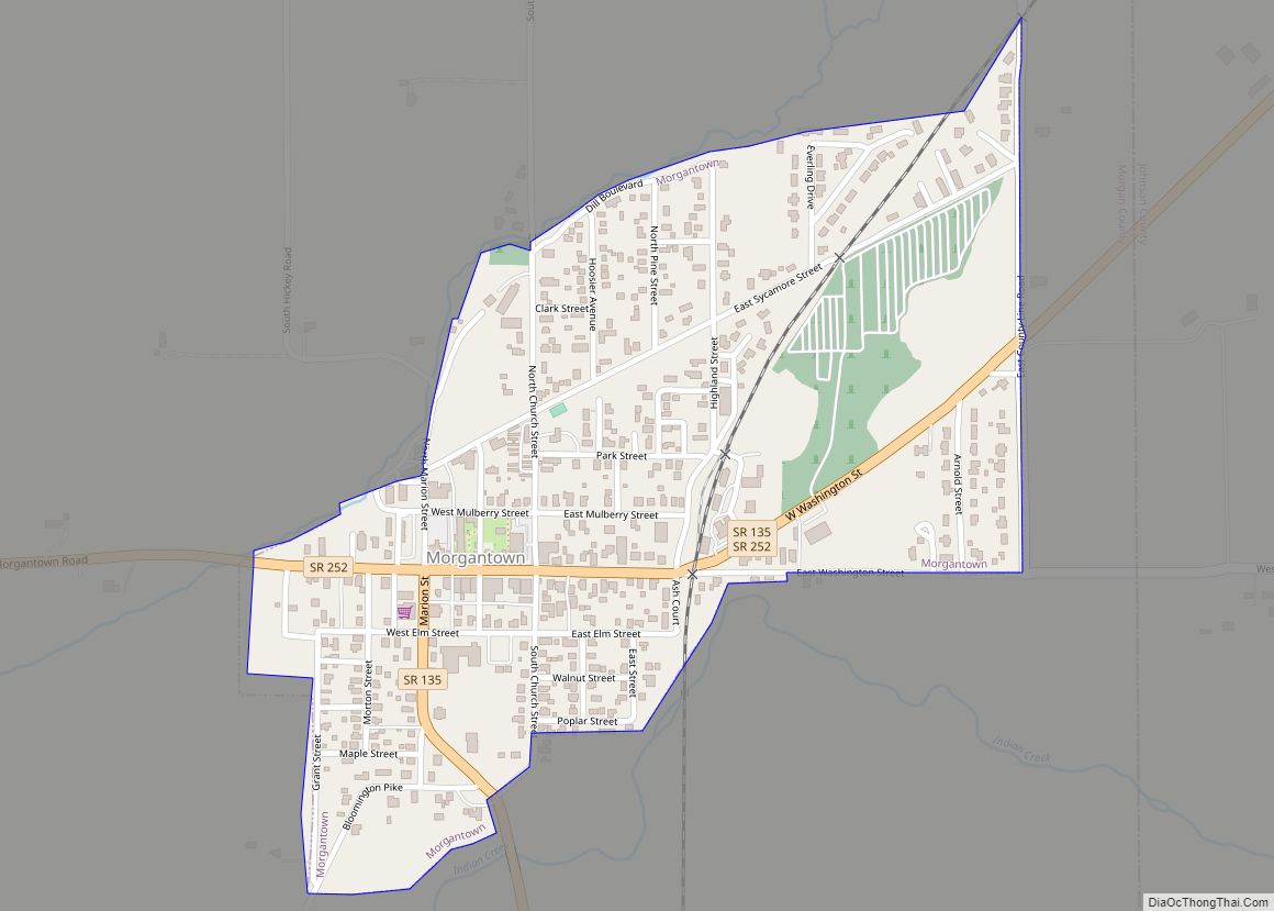
Morgantown is a town at the intersection of Indiana state routes 135 and 252 in Jackson Township, Morgan County, in the U.S. state of Indiana. The population was 1,014 at the 2020 census. Morgantown town overview: Name: Morgantown town LSAD Code: 43 LSAD Description: town (suffix) State: Indiana County: Morgan County Elevation: 679 ft (207 m) Total ... Read more
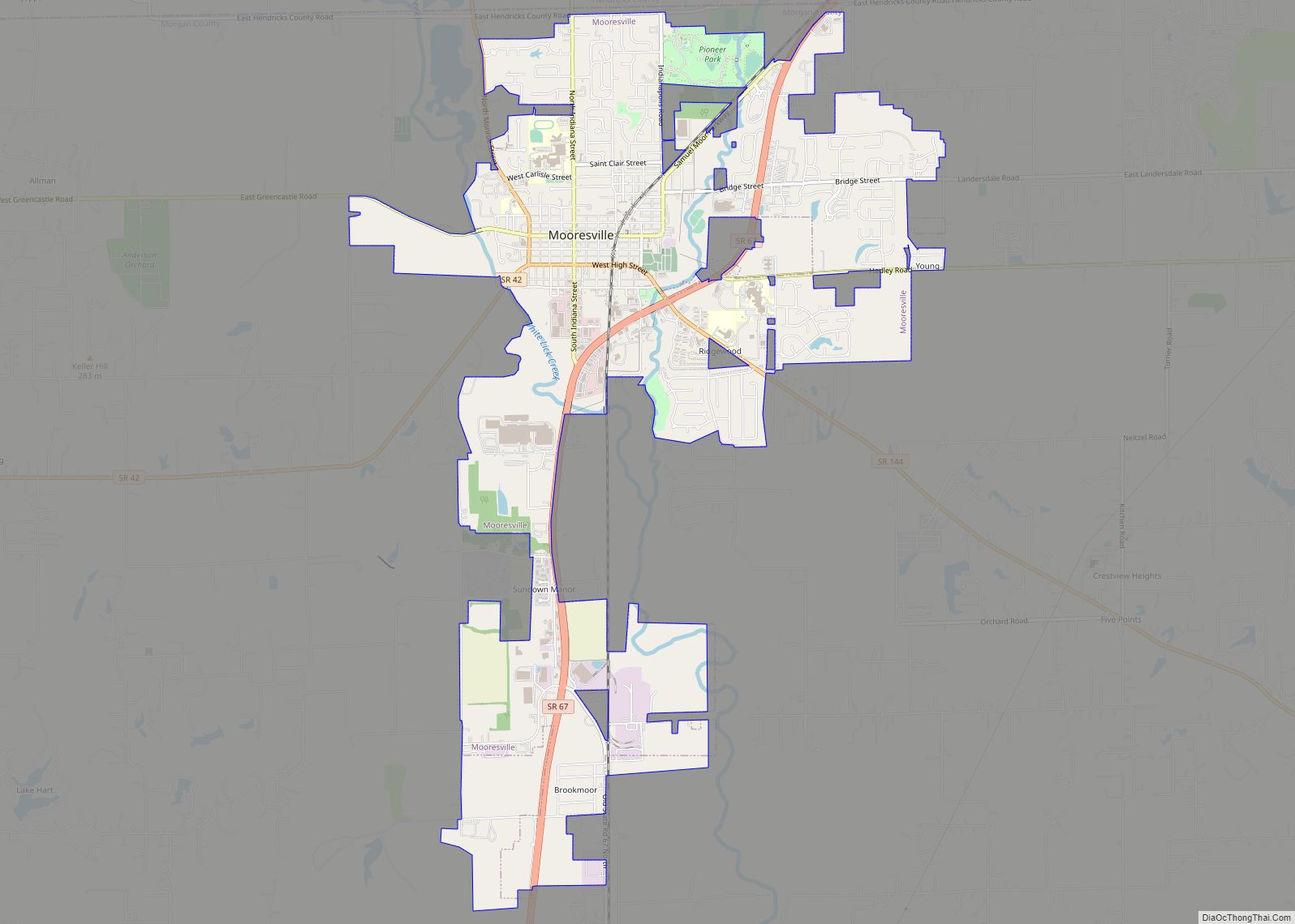
Mooresville is a town in Brown Township, Morgan County, in the U.S. state of Indiana. As of the 2020 census, the town population was 9,411. Mooresville town overview: Name: Mooresville town LSAD Code: 43 LSAD Description: town (suffix) State: Indiana County: Morgan County Elevation: 718 ft (219 m) Total Area: 6.76 sq mi (17.52 km²) Land Area: 6.71 sq mi (17.37 km²) Water ... Read more
Mount Ayr is a town in Jackson Township, Newton County, in the U.S. state of Indiana. The population was 122 at the 2010 census. Mount Ayr town overview: Name: Mount Ayr town LSAD Code: 43 LSAD Description: town (suffix) State: Indiana County: Newton County Elevation: 709 ft (216 m) Total Area: 0.17 sq mi (0.45 km²) Land Area: 0.17 sq mi (0.45 km²) ... Read more
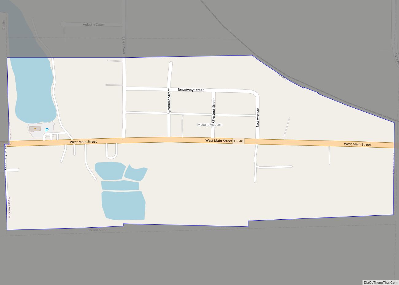
Mount Auburn is a town in Jackson Township, Wayne County, in the U.S. state of Indiana. The population was 117 at the 2010 census. The town is sandwiched between Dublin and Cambridge City. Mount Auburn town overview: Name: Mount Auburn town LSAD Code: 43 LSAD Description: town (suffix) State: Indiana County: Wayne County Elevation: 991 ft ... Read more
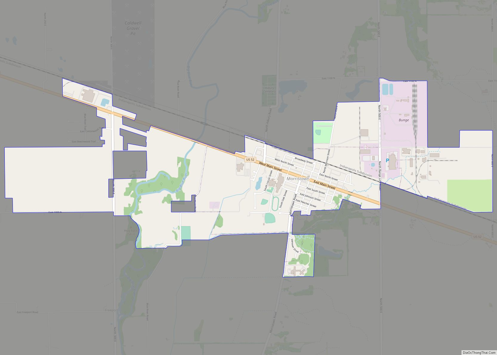
Morristown is a town in Hanover Township, Shelby County, in the U.S. state of Indiana. The population was 1,218 at the 2010 census. Morristown town overview: Name: Morristown town LSAD Code: 43 LSAD Description: town (suffix) State: Indiana County: Shelby County Elevation: 833 ft (254 m) Total Area: 2.52 sq mi (6.52 km²) Land Area: 2.50 sq mi (6.47 km²) Water Area: 0.02 sq mi ... Read more
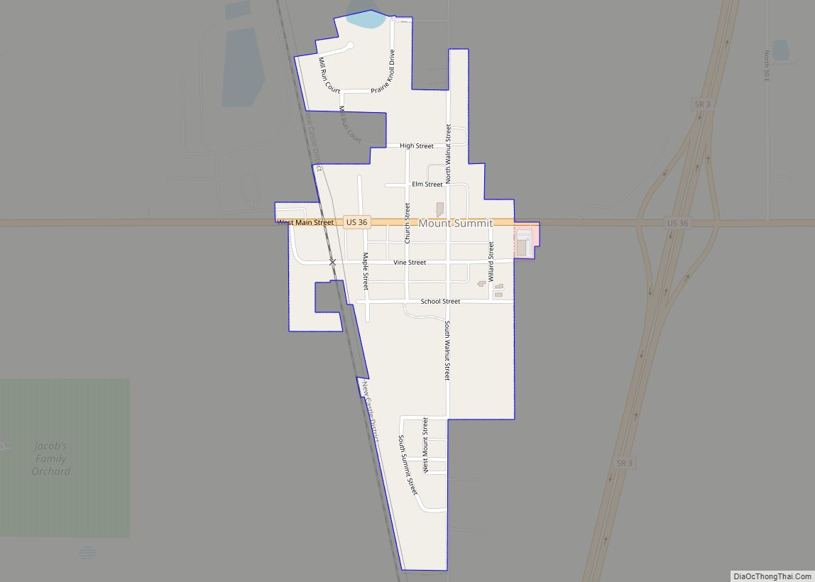
Mount Summit is a town in Prairie Township, Henry County, Indiana, United States. The population was 352 at the 2010 census. Mount Summit town overview: Name: Mount Summit town LSAD Code: 43 LSAD Description: town (suffix) State: Indiana County: Henry County Elevation: 1,093 ft (333 m) Total Area: 0.19 sq mi (0.50 km²) Land Area: 0.19 sq mi (0.50 km²) Water Area: 0.00 sq mi ... Read more
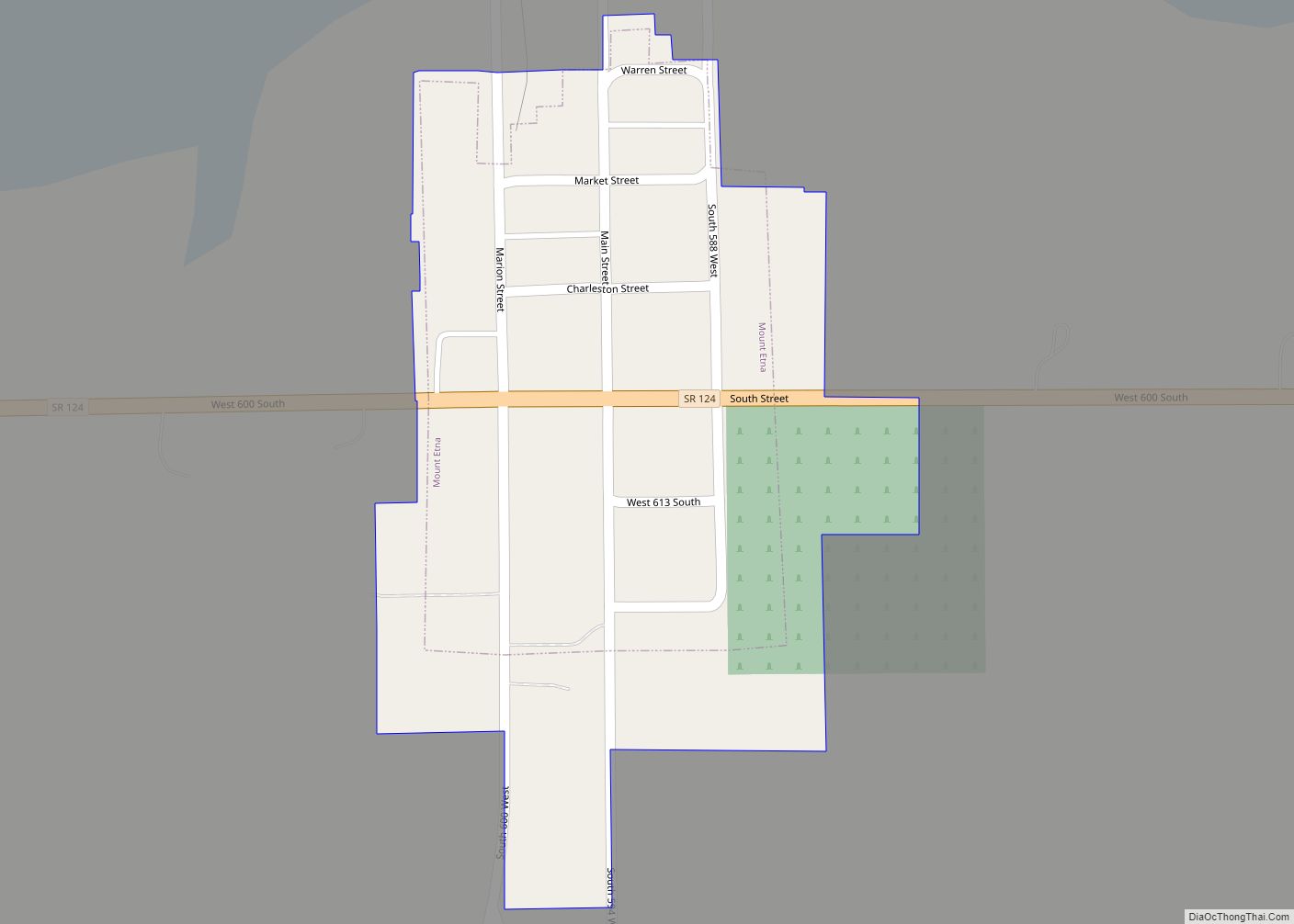
Mount Etna is a town in Huntington County, Indiana, United States. The population was 94 at the 2010 census. It lies at the intersection of four townships: Jefferson, Lancaster, Polk and Wayne. Mount Etna town overview: Name: Mount Etna town LSAD Code: 43 LSAD Description: town (suffix) State: Indiana County: Huntington County Elevation: 810 ft (247 m) ... Read more
