Montpelier /mɒntˈpiːliər/ is a city in Harrison Township, Blackford County, in the U.S. state of Indiana. This small rural community, the county’s first to be platted, was established by settlers from Vermont, and is named after Vermont’s capital city of Montpelier.
Montpelier was a central participant in the Indiana Gas Boom, as natural gas was discovered near the community in 1887. More importantly, the county’s first successful oil well was drilled on the south side of Montpelier in 1890. Its population quickly grew from 808 in 1890 to about 6,500 by 1896. The Gas Boom, mostly an oil boom for Montpelier, gradually ended during the first decade of the 20th century.
Like many boom towns, the city’s population has never matched that of the boom years. The city’s population was 1,805 at the 2010 census. However, the city’s population stabilized many decades ago, and the community has multiple industries and an active community association. Montpelier is located near the former Godfroy Indian Reservation, and a statue of an Indian is featured prominently in the downtown district.
| Name: | Montpelier city |
|---|---|
| LSAD Code: | 25 |
| LSAD Description: | city (suffix) |
| State: | Indiana |
| County: | Blackford County |
| Elevation: | 869 ft (265 m) |
| Total Area: | 1.50 sq mi (3.87 km²) |
| Land Area: | 1.50 sq mi (3.87 km²) |
| Water Area: | 0.00 sq mi (0.00 km²) 0% |
| Total Population: | 1,540 |
| Population Density: | 1,029.41/sq mi (397.57/km²) |
| ZIP code: | 47359 |
| Area code: | 765 |
| FIPS code: | 1850796 |
| GNISfeature ID: | 439371 |
| Website: | http://montpelier-indiana.com/ |
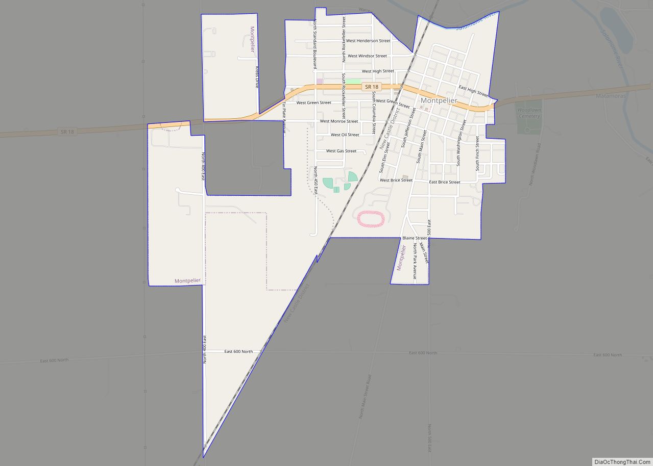
Online Interactive Map
Click on ![]() to view map in "full screen" mode.
to view map in "full screen" mode.
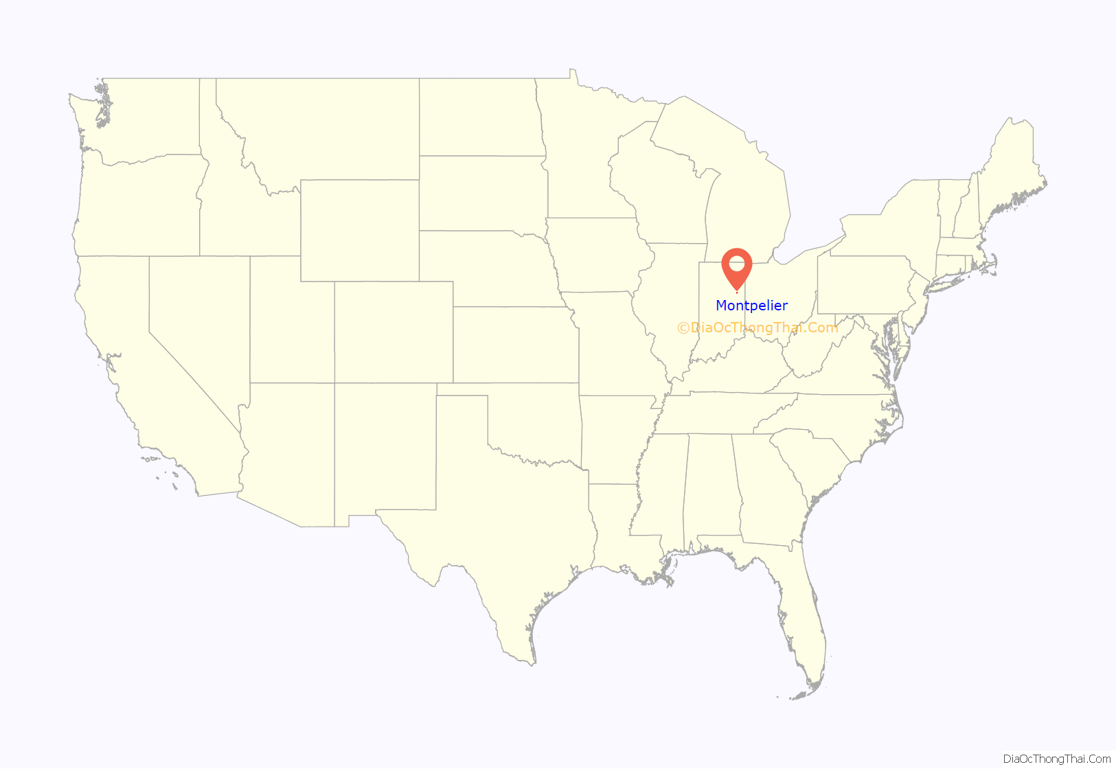
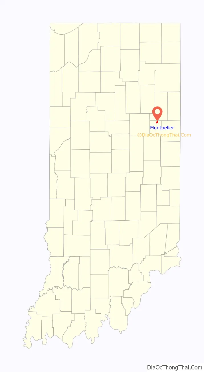
Montpelier location map. Where is Montpelier city?
History
In 1836 and 1837, several groups of settlers from Vermont moved to East Central Indiana, and settled on the high ground on the south side of the Salamonie River. Abel Baldwin, a veteran of the War of 1812, was the leader of this group of Vermont natives. They named their community Montpelier, after the capital of their original home state. Baldwin and his son-in-law, civil engineer John Cook, surveyed the area in 1836, and it was platted on September 5, 1837. The original plat had 16 blocks with a total of 154 lots.
At the time Montpelier was settled, it was part of Jay County. The western portion of Jay County was split away in 1838 to form Blackford County. Montpelier was not the first community in what would become Blackford County – a village named Matamoras existed earlier. However, Montpelier was platted first, and Matamoras was essentially a ghost town after the 1880s.
Beginning in September 1870, the Fort Wayne, Cincinnati & Louisville Railroad connected Fort Wayne with Muncie, Indiana, and Montpelier was (and still is) on this line. With dramatically improved transportation for the community, Montpelier became incorporated as a town at the end of 1870. By that time, the town had grown to a population of 231.
Gas Boom
In 1887, natural gas was discovered in Blackford County, and the area began its participation in the Indiana Gas Boom. While natural gas was found throughout Blackford County, crude oil was found mostly in the county’s Harrison Township, which includes Montpelier. Blackford County’s first successful oil well, located just south of Montpelier, began producing during 1890. Montpelier was thought to be “the very heart of the greatest natural gas and oil field in the world”. By the mid-1890s, about two-thirds of Harrison Township (25 square miles) was considered part of an oil-producing region. Montpelier became a city where “money and whiskey flowed frequently”, and numerous other “recreational activities” were available. Oil production from the Trenton Gas and Oil Field surrounding Montpelier began decreasing during the first decade of the 20th century, and the Gas Boom (or Montpelier’s oil boom) gradually came to an end. Montpelier began a return to normalcy and its population (like many boom towns) has never exceeded its Gas Boom peak.
Dillinger
The Montpelier National Bank was robbed by three men on the afternoon of August 4, 1933. The robbery lasted about ten minutes, and no shooting was involved. The robbers quietly left town, driving east on Indiana State Road 18, without being followed. It was later determined, by the Federal Bureau of Investigation, that the robbers were John Dillinger and the Dillinger Gang.
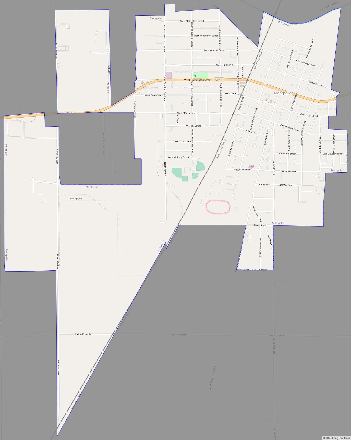
Montpelier Road Map
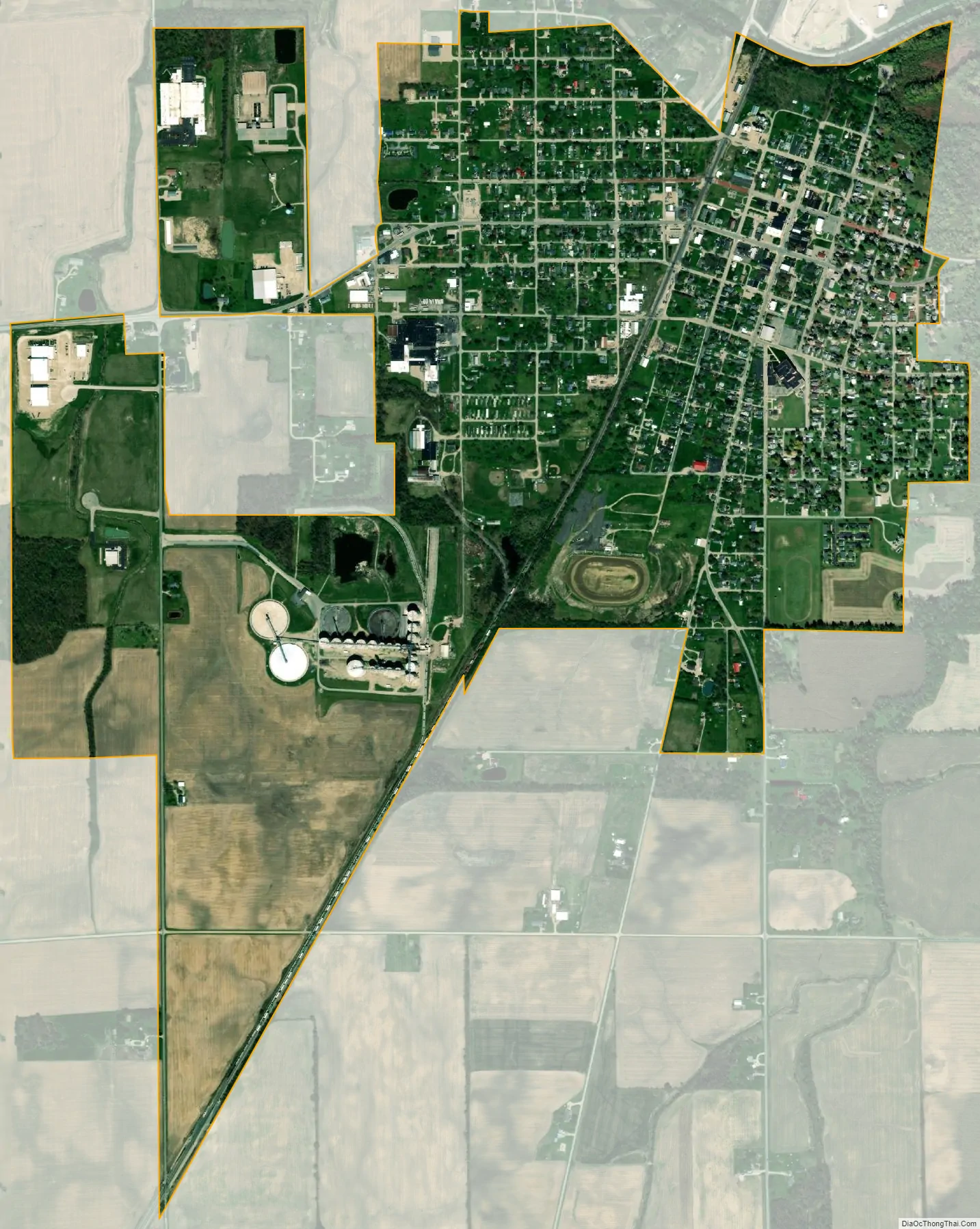
Montpelier city Satellite Map
Geography
Montpelier is part of East Central Indiana and Northern Indiana. Future Northern Indiana, including what became Harrison Township and Montpelier, was flattened by two glaciers millions of years ago. These glaciers are also responsible for the rich Blackford County farmland, which includes the land surrounding Montpelier.
Located in the Harrison Township portion of Blackford County, Indiana, Montpelier is adjacent to the Salamonie River. It is located 40 miles (64 km) south of Fort Wayne, Indiana, and 75 miles (121 km) northeast of Indianapolis.
According to the 2010 census, Montpelier has a total area of 1.54 square miles (3.99 km), all land.
Nearby cities
- Bluffton (about 20 highway miles north)
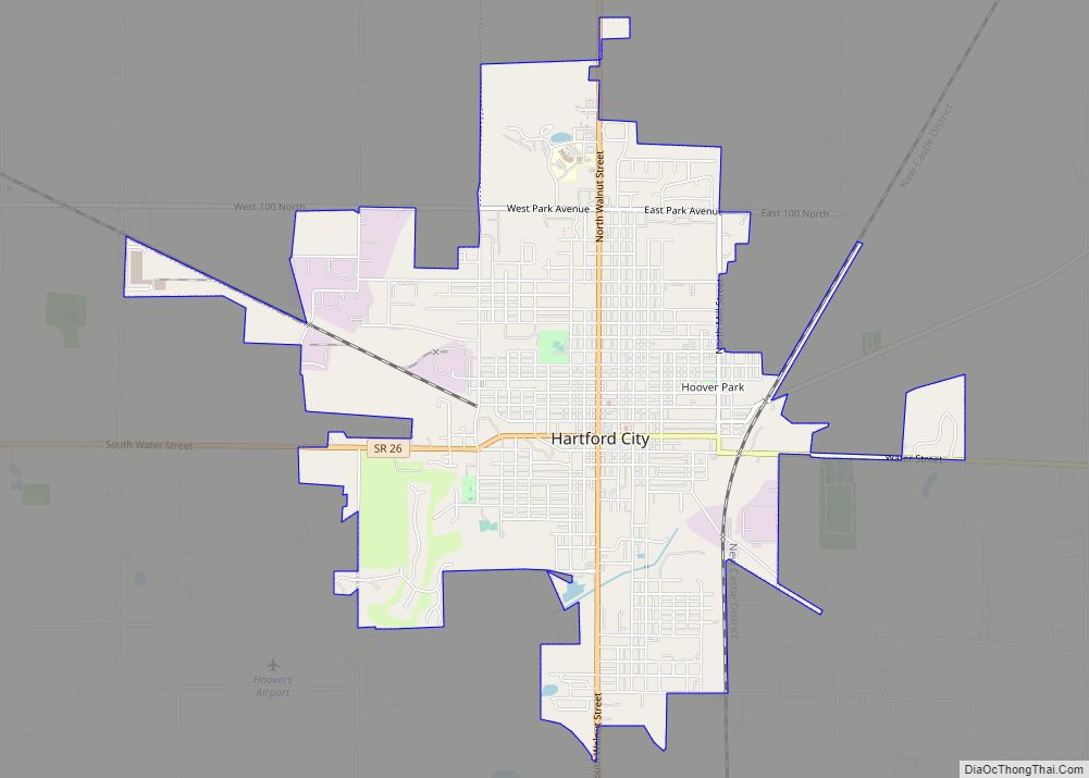
- Hartford City (about 12 highway miles southwest)
- Marion (about 20 highway miles west)
- Portland (about 24 highway miles southeast)
- Upland (about 18 highway miles southwest)
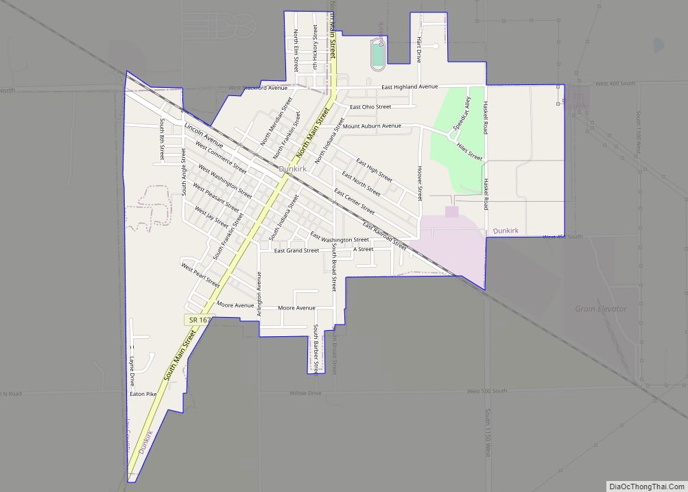
- Dunkirk (about 15 highway miles southeast)
Climate
Montpelier has a typical Midwestern humid continental seasonal climate. There are four distinct seasons, with winters being cold with moderate snowfall, while summers can be warm and humid. The highest average temperature is in July at 84 °F (29 °C), while the lowest average temperature is in January at 18 °F (−8 °C). However, summer temperatures can top 90 °F (32 °C), and winter temperatures can drop below 0 °F (−17 °C). Average monthly precipitation ranges from about 2 to 4 inches (5 to 10 cm), with the heaviest occurring during June, July, and August. The highest recorded temperature was 103.0 °F (39.0 °C) on June 26, 1988, and the lowest recorded temperature was −26.0 °F (−32.0 °C) on January 19, 1994.
See also
Map of Indiana State and its subdivision:- Adams
- Allen
- Bartholomew
- Benton
- Blackford
- Boone
- Brown
- Carroll
- Cass
- Clark
- Clay
- Clinton
- Crawford
- Daviess
- De Kalb
- Dearborn
- Decatur
- Delaware
- Dubois
- Elkhart
- Fayette
- Floyd
- Fountain
- Franklin
- Fulton
- Gibson
- Grant
- Greene
- Hamilton
- Hancock
- Harrison
- Hendricks
- Henry
- Howard
- Huntington
- Jackson
- Jasper
- Jay
- Jefferson
- Jennings
- Johnson
- Knox
- Kosciusko
- LaGrange
- Lake
- Lake Michigan
- LaPorte
- Lawrence
- Madison
- Marion
- Marshall
- Martin
- Miami
- Monroe
- Montgomery
- Morgan
- Newton
- Noble
- Ohio
- Orange
- Owen
- Parke
- Perry
- Pike
- Porter
- Posey
- Pulaski
- Putnam
- Randolph
- Ripley
- Rush
- Saint Joseph
- Scott
- Shelby
- Spencer
- Starke
- Steuben
- Sullivan
- Switzerland
- Tippecanoe
- Tipton
- Union
- Vanderburgh
- Vermillion
- Vigo
- Wabash
- Warren
- Warrick
- Washington
- Wayne
- Wells
- White
- Whitley
- Alabama
- Alaska
- Arizona
- Arkansas
- California
- Colorado
- Connecticut
- Delaware
- District of Columbia
- Florida
- Georgia
- Hawaii
- Idaho
- Illinois
- Indiana
- Iowa
- Kansas
- Kentucky
- Louisiana
- Maine
- Maryland
- Massachusetts
- Michigan
- Minnesota
- Mississippi
- Missouri
- Montana
- Nebraska
- Nevada
- New Hampshire
- New Jersey
- New Mexico
- New York
- North Carolina
- North Dakota
- Ohio
- Oklahoma
- Oregon
- Pennsylvania
- Rhode Island
- South Carolina
- South Dakota
- Tennessee
- Texas
- Utah
- Vermont
- Virginia
- Washington
- West Virginia
- Wisconsin
- Wyoming