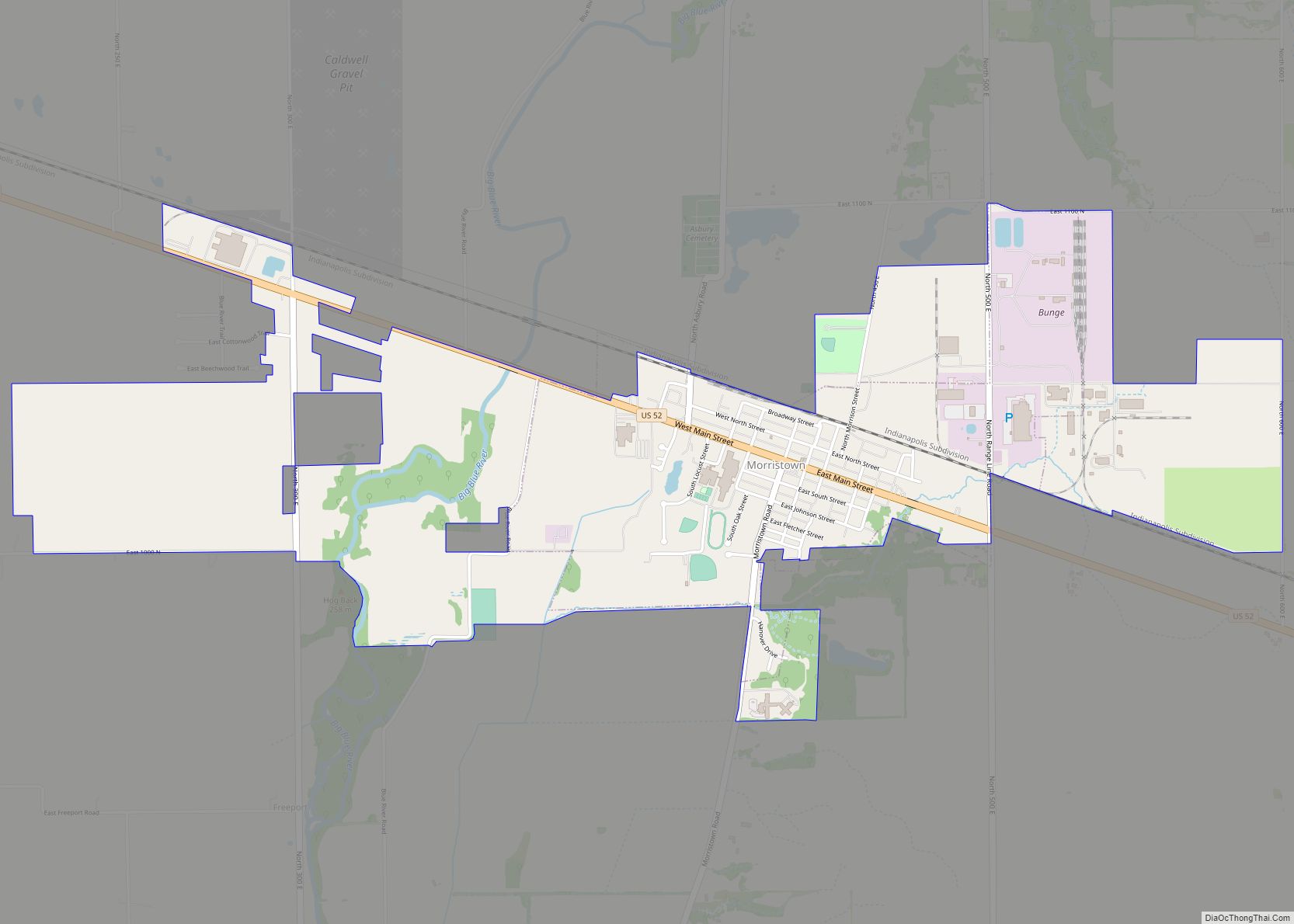
Morristown is a town in Hanover Township, Shelby County, in the U.S. state of Indiana. The population was 1,218 at the 2010 census.
| Name: | Morristown town |
|---|---|
| LSAD Code: | 43 |
| LSAD Description: | town (suffix) |
| State: | Indiana |
| County: | Shelby County |
| Elevation: | 833 ft (254 m) |
| Total Area: | 2.52 sq mi (6.52 km²) |
| Land Area: | 2.50 sq mi (6.47 km²) |
| Water Area: | 0.02 sq mi (0.05 km²) |
| Total Population: | 1,205 |
| Population Density: | 482.39/sq mi (186.23/km²) |
| ZIP code: | 46161 |
| Area code: | 765 |
| FIPS code: | 1851192 |
| GNISfeature ID: | 439467 |
| Website: | http://www.morristown.in.gov/ |
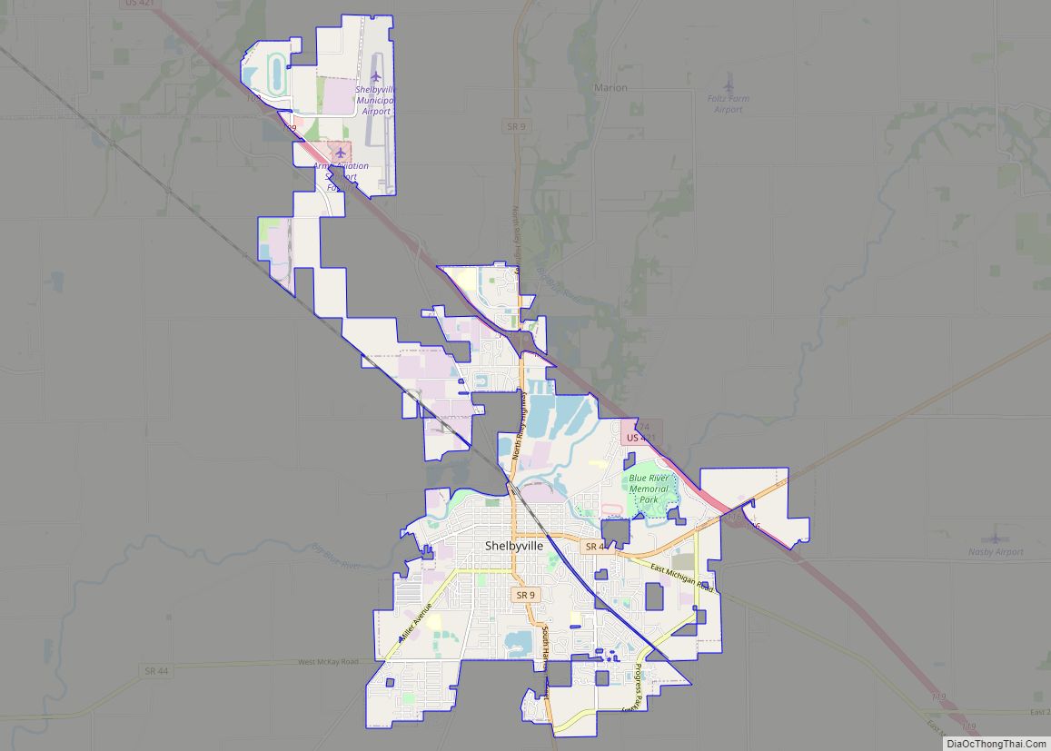
Online Interactive Map
Click on ![]() to view map in "full screen" mode.
to view map in "full screen" mode.
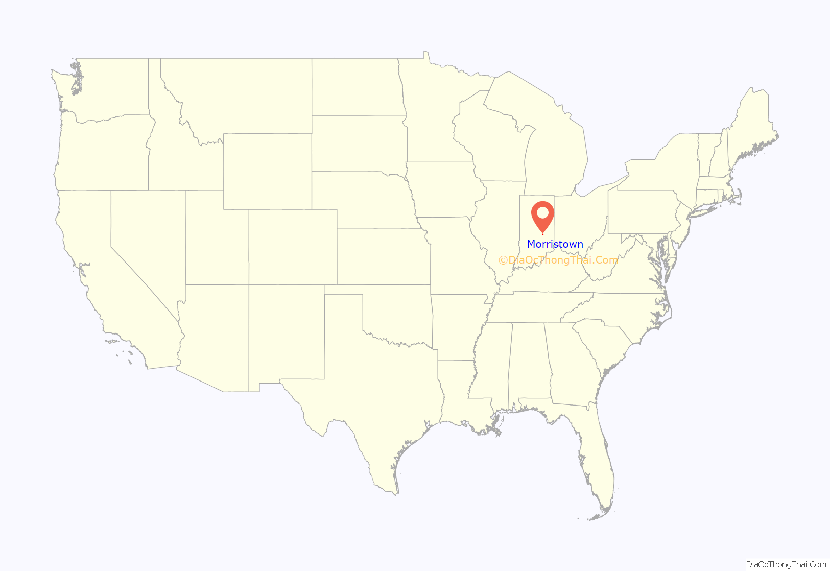
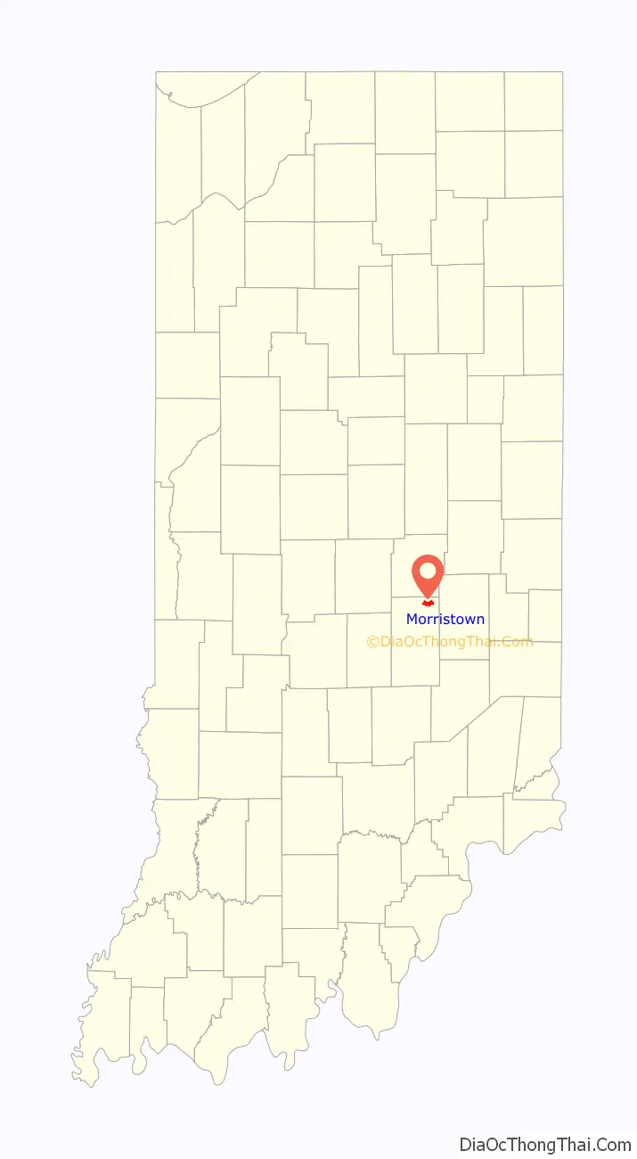
Morristown location map. Where is Morristown town?
History
Morristown was platted in 1828 by Samuel Morrison, and named for him. The Morristown post office has been in operation since 1834.
Junction Railroad Depot was listed on the National Register of Historic Places in 1979.
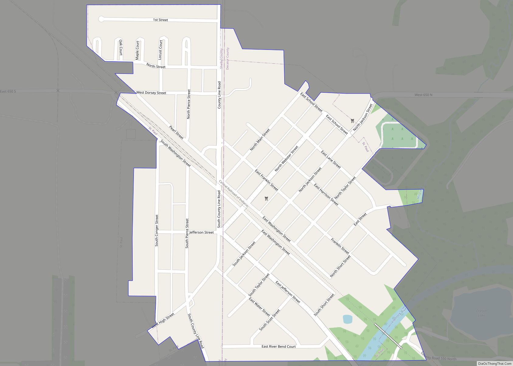
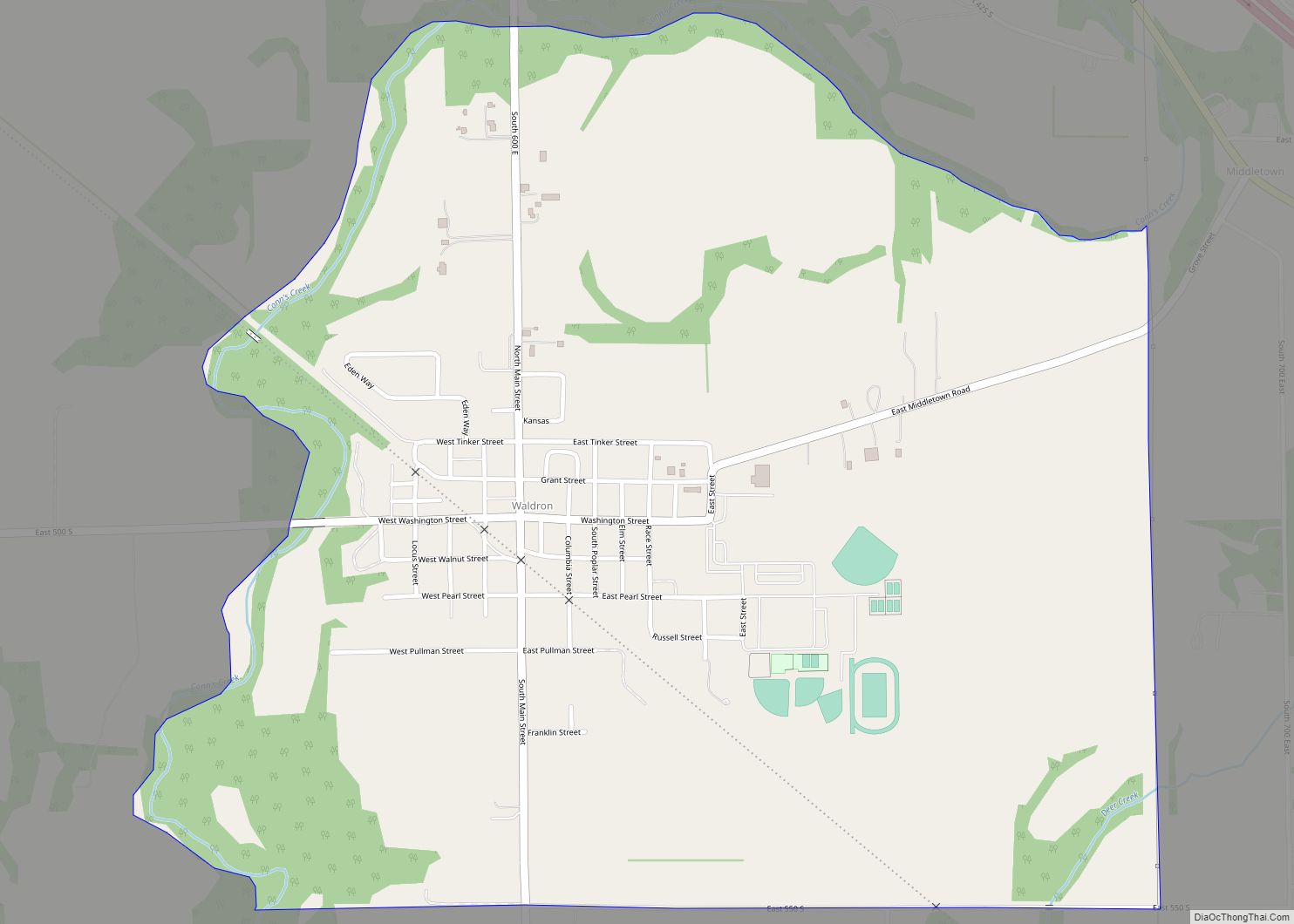
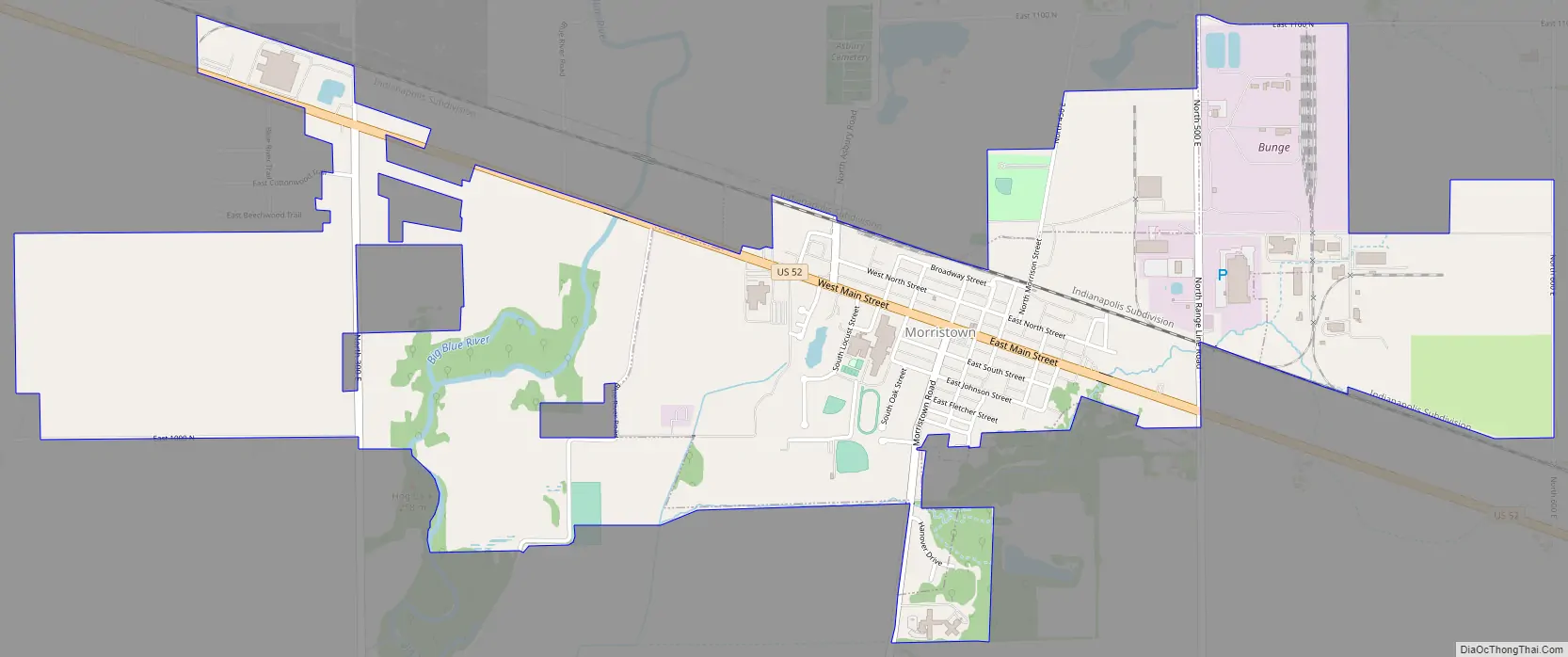
Morristown Road Map
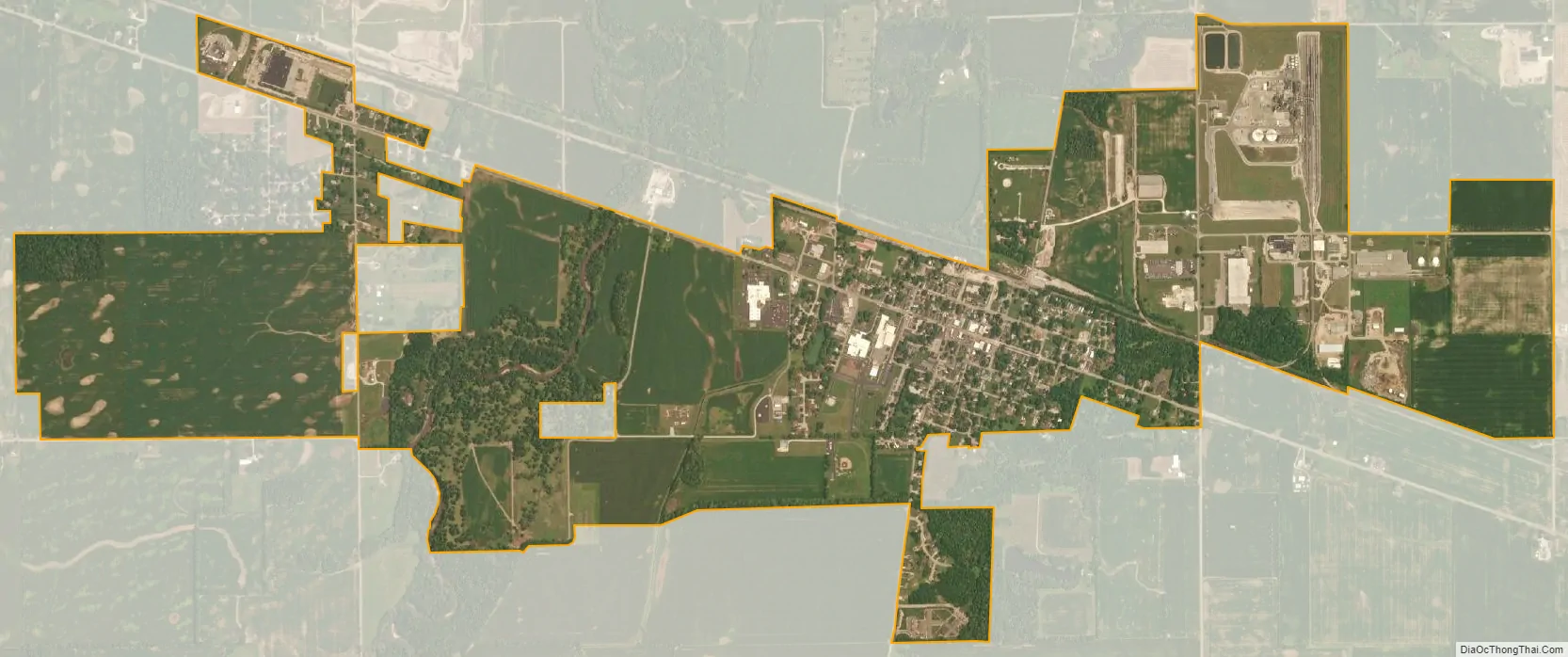
Morristown city Satellite Map
Geography
Morristown is located at 39°40′25″N 85°41′49″W / 39.67361°N 85.69694°W / 39.67361; -85.69694 (39.673478, -85.696871).
According to the 2010 census, Morristown has a total area of 2.37 square miles (6.14 km), of which 2.35 square miles (6.09 km) (or 99.16%) is land and 0.02 square miles (0.05 km) (or 0.84%) is water.
See also
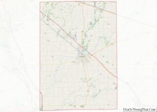
Map of Indiana State and its subdivision:- Adams
- Allen
- Bartholomew
- Benton
- Blackford
- Boone
- Brown
- Carroll
- Cass
- Clark
- Clay
- Clinton
- Crawford
- Daviess
- De Kalb
- Dearborn
- Decatur
- Delaware
- Dubois
- Elkhart
- Fayette
- Floyd
- Fountain
- Franklin
- Fulton
- Gibson
- Grant
- Greene
- Hamilton
- Hancock
- Harrison
- Hendricks
- Henry
- Howard
- Huntington
- Jackson
- Jasper
- Jay
- Jefferson
- Jennings
- Johnson
- Knox
- Kosciusko
- LaGrange
- Lake
- Lake Michigan
- LaPorte
- Lawrence
- Madison
- Marion
- Marshall
- Martin
- Miami
- Monroe
- Montgomery
- Morgan
- Newton
- Noble
- Ohio
- Orange
- Owen
- Parke
- Perry
- Pike
- Porter
- Posey
- Pulaski
- Putnam
- Randolph
- Ripley
- Rush
- Saint Joseph
- Scott
- Shelby
- Spencer
- Starke
- Steuben
- Sullivan
- Switzerland
- Tippecanoe
- Tipton
- Union
- Vanderburgh
- Vermillion
- Vigo
- Wabash
- Warren
- Warrick
- Washington
- Wayne
- Wells
- White
- Whitley
- Alabama
- Alaska
- Arizona
- Arkansas
- California
- Colorado
- Connecticut
- Delaware
- District of Columbia
- Florida
- Georgia
- Hawaii
- Idaho
- Illinois
- Indiana
- Iowa
- Kansas
- Kentucky
- Louisiana
- Maine
- Maryland
- Massachusetts
- Michigan
- Minnesota
- Mississippi
- Missouri
- Montana
- Nebraska
- Nevada
- New Hampshire
- New Jersey
- New Mexico
- New York
- North Carolina
- North Dakota
- Ohio
- Oklahoma
- Oregon
- Pennsylvania
- Rhode Island
- South Carolina
- South Dakota
- Tennessee
- Texas
- Utah
- Vermont
- Virginia
- Washington
- West Virginia
- Wisconsin
- Wyoming