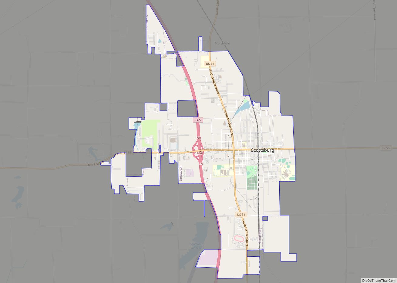
Scottsburg is a city within Vienna Township and the county seat of Scott County, in the U.S. state of Indiana, about 30 miles (48 km) north of Louisville, Kentucky. The population of Scottsburg was 7,345 at the 2020 census. Scottsburg city overview: Name: Scottsburg city LSAD Code: 25 LSAD Description: city (suffix) State: Indiana County: Scott ... Read more
Indiana Cities and Places
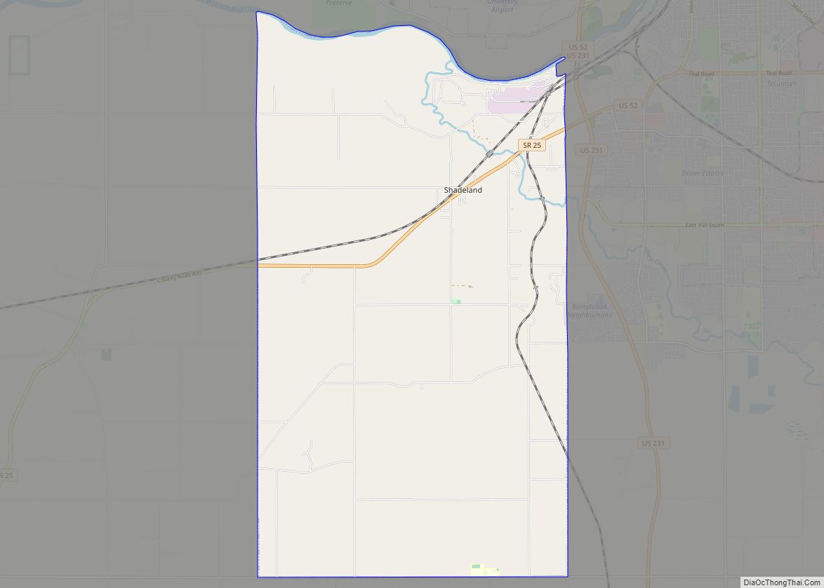
Shadeland is a town in Union Township, Tippecanoe County, in the U.S. state of Indiana. The population was 1,610 at the 2010 census. It is part of the Lafayette, Indiana Metropolitan Statistical Area. Shadeland town overview: Name: Shadeland town LSAD Code: 43 LSAD Description: town (suffix) State: Indiana County: Tippecanoe County Elevation: 620 ft (189 m) Total ... Read more
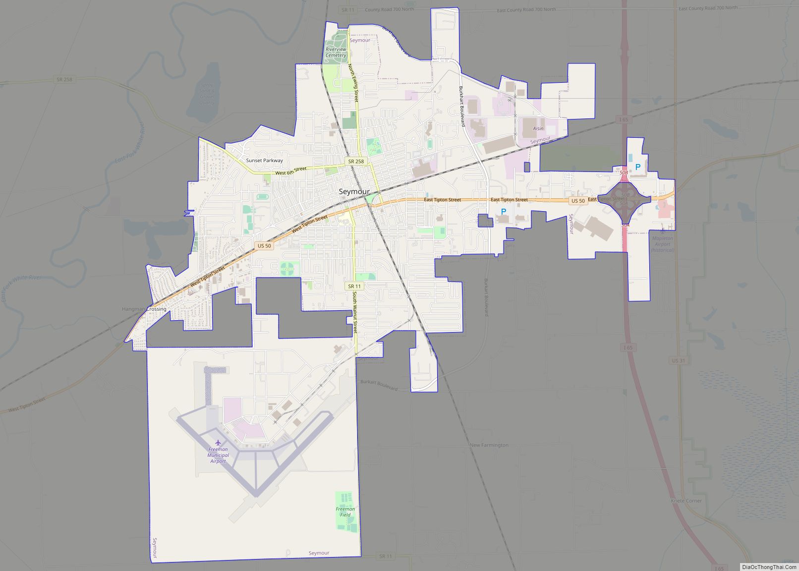
Seymour is a city in Jackson County, Indiana, United States. Its population was 21,569 at the 2020 census. The city is noted for its location at the intersection of two major north–south and east–west railroads, which cross each other in the downtown area. The north–south line (the Jeffersonville, Madison and Indianapolis Railroad) was built in ... Read more
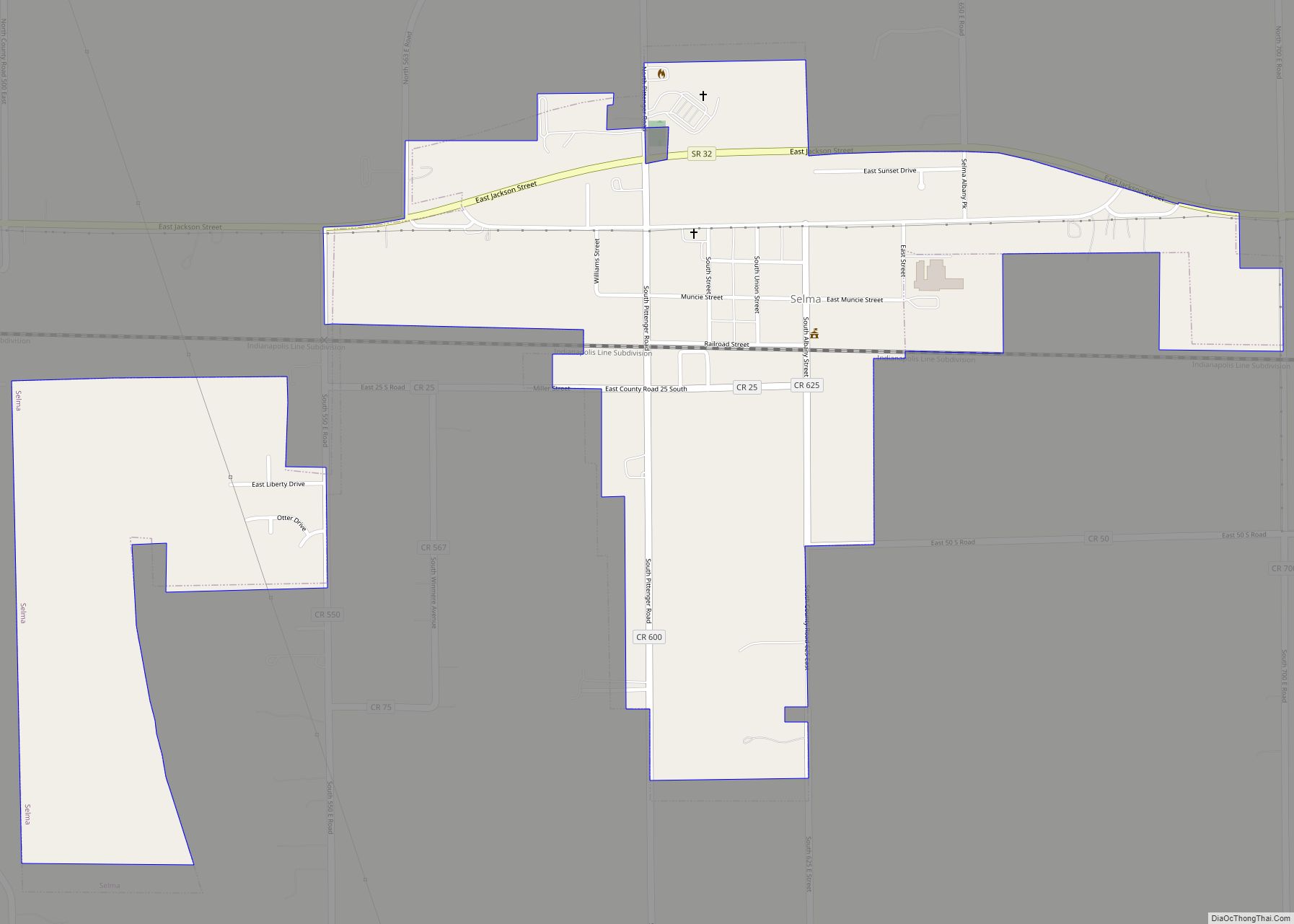
Selma is a town in Liberty Township, Delaware County, Indiana, United States. As of the 2020 census, the town had a total population of 747. It is part of the Muncie, IN Metropolitan Statistical Area. Selma town overview: Name: Selma town LSAD Code: 43 LSAD Description: town (suffix) State: Indiana County: Delaware County Elevation: 1,010 ft ... Read more
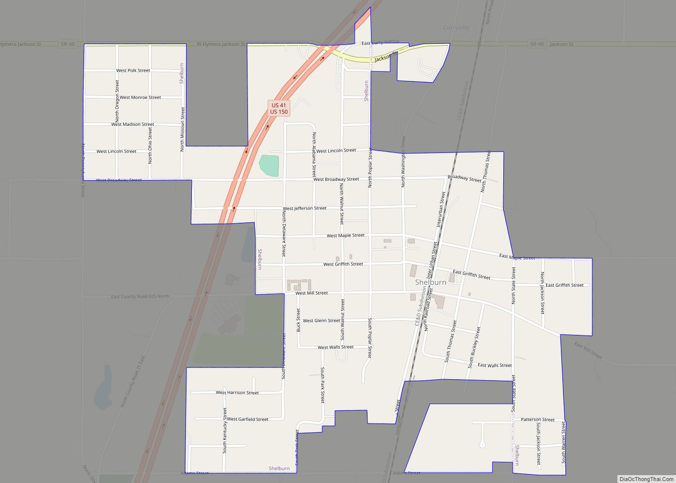
Shelburn is a town in Curry Township, Sullivan County, in the U.S. state of Indiana. The population was 1,252 at the 2010 census. It is part of the Terre Haute Metropolitan Statistical Area. Shelburn town overview: Name: Shelburn town LSAD Code: 43 LSAD Description: town (suffix) State: Indiana County: Sullivan County Elevation: 541 ft (165 m) Total ... Read more
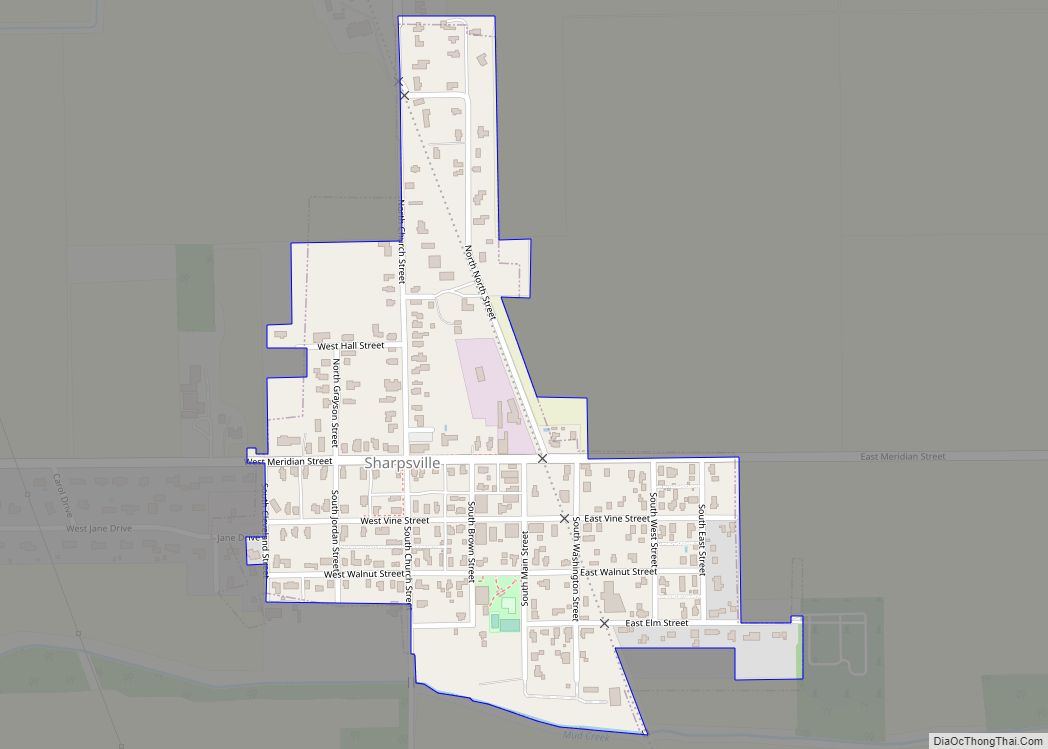
Sharpsville is a town in Liberty Township, Tipton County, in the U.S. state of Indiana. The community is part of the Kokomo, Indiana Metropolitan Statistical Area. As of the 2010 census, Sharpsville’s population is 607. Sharpsville town overview: Name: Sharpsville town LSAD Code: 43 LSAD Description: town (suffix) State: Indiana County: Tipton County Elevation: 879 ft ... Read more
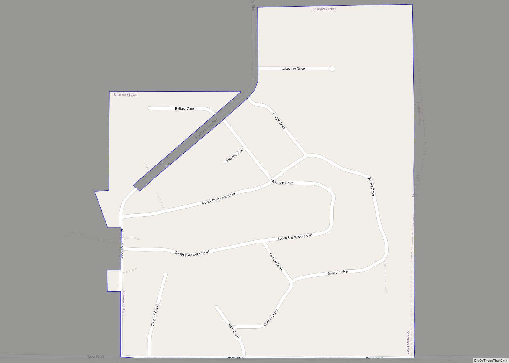
Shamrock Lakes is a town in Licking Township, Blackford County, Indiana, United States. It was incorporated on May 21, 1973—and was the first community in Indiana to do so in 50 years. The small town consists of a group of six lakes that were created between 1960 and 1965, and the first lake was originally ... Read more
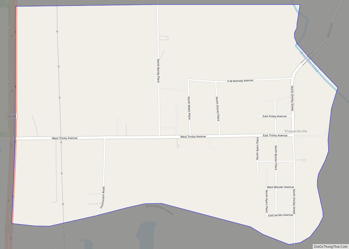
Shepardsville is an unincorporated census-designated place in northeastern Fayette Township, Vigo County, in the U.S. state of Indiana. It lies along Trinity Ave. north of the city of Terre Haute, the county seat of Vigo County. Its elevation is 502 feet (153 m), and it is located at 39°36′3″N 87°25′3″W / 39.60083°N 87.41750°W / 39.60083; -87.41750 (39.6008700, ... Read more
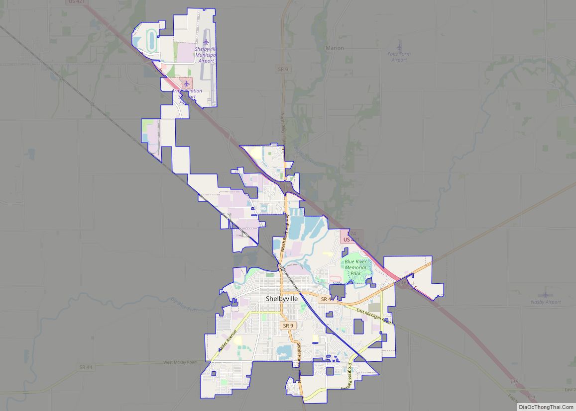
Shelbyville is a city in Addison Township, Shelby County, in the U.S. state of Indiana and is the county seat. The population was 20,067 as of the 2020 census. Shelbyville city overview: Name: Shelbyville city LSAD Code: 25 LSAD Description: city (suffix) State: Indiana County: Shelby County Elevation: 764 ft (233 m) Total Area: 12.81 sq mi (33.19 km²) Land ... Read more
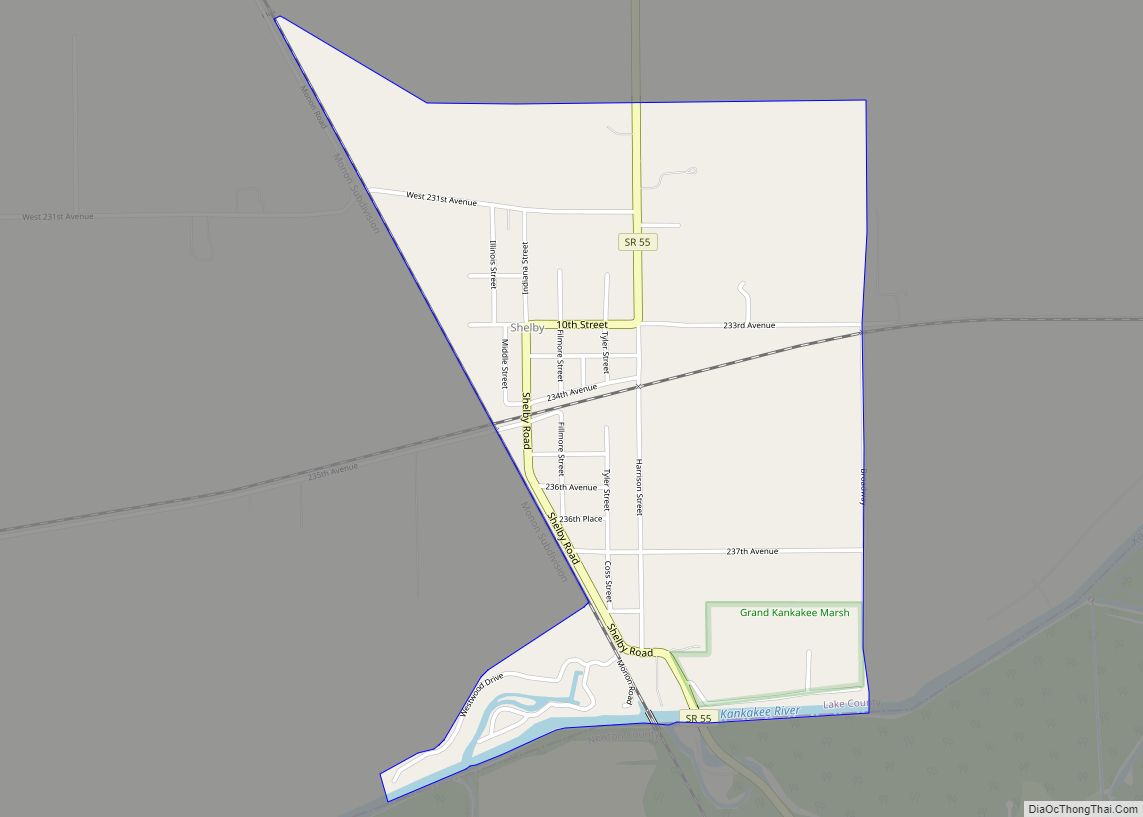
Shelby is an unincorporated community and census-designated place in Cedar Creek Township, Lake County, Indiana. Shelby had a population of 453 at the 2020 census. Shelby CDP overview: Name: Shelby CDP LSAD Code: 57 LSAD Description: CDP (suffix) State: Indiana County: Lake County Elevation: 640 ft (200 m) Total Area: 1.29 sq mi (3.33 km²) Land Area: 1.29 sq mi (3.33 km²) Water ... Read more
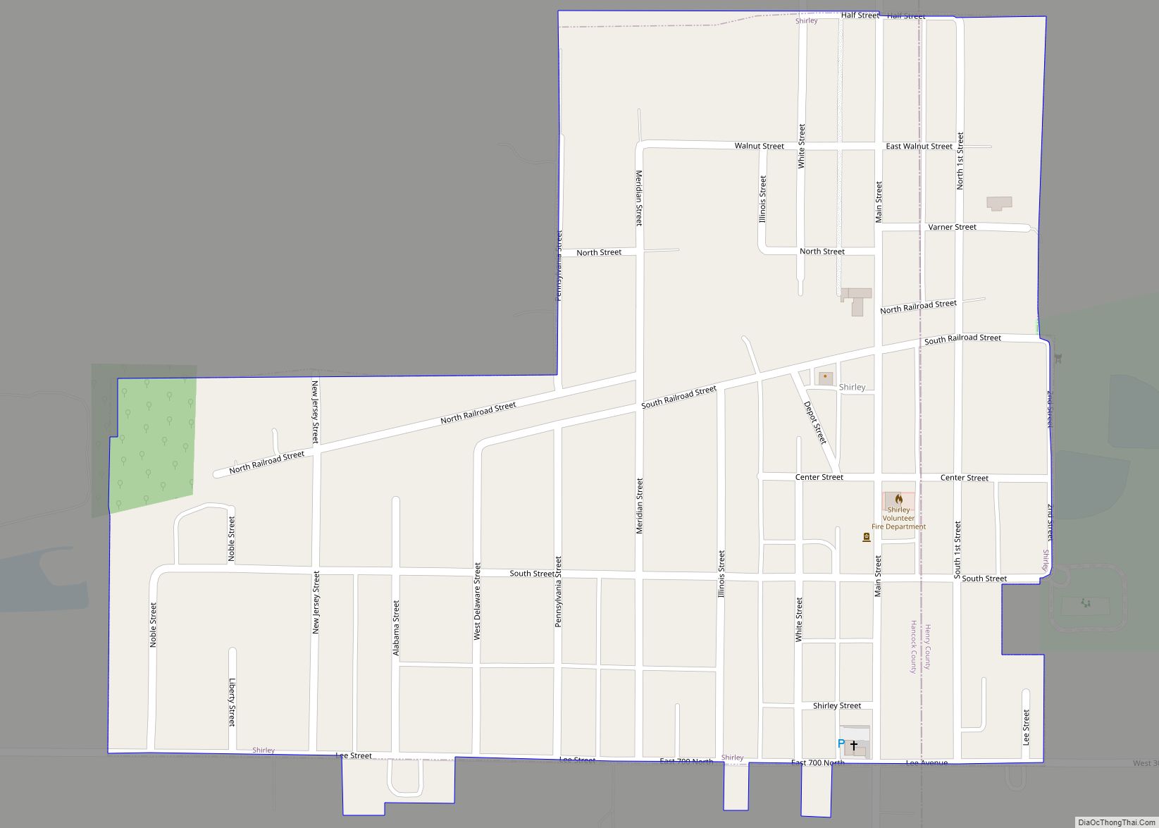
Shirley is a town in Brown Township, Hancock County and Greensboro Township, Henry County, Indiana, United States. The population was 830 at the 2010 census. Shirley town overview: Name: Shirley town LSAD Code: 43 LSAD Description: town (suffix) State: Indiana County: Hancock County, Henry County Elevation: 1,027 ft (313 m) Total Area: 0.36 sq mi (0.94 km²) Land Area: 0.36 sq mi ... Read more
Shipshewana is a town in Newbury Township, LaGrange County, Indiana, United States. The population was 658 at the 2010 census. It is the location of the Menno-Hof Amish & Mennonite Museum, which showcases the history of the Amish and Mennonite peoples. Shipshewana town overview: Name: Shipshewana town LSAD Code: 43 LSAD Description: town (suffix) State: ... Read more
