Shelbyville is a city in Addison Township, Shelby County, in the U.S. state of Indiana and is the county seat. The population was 20,067 as of the 2020 census.
| Name: | Shelbyville city |
|---|---|
| LSAD Code: | 25 |
| LSAD Description: | city (suffix) |
| State: | Indiana |
| County: | Shelby County |
| Elevation: | 764 ft (233 m) |
| Total Area: | 12.81 sq mi (33.19 km²) |
| Land Area: | 12.55 sq mi (32.50 km²) |
| Water Area: | 0.27 sq mi (0.69 km²) 2.36% |
| Total Population: | 20,067 |
| Population Density: | 1,599.22/sq mi (617.48/km²) |
| ZIP code: | 46176 |
| Area code: | 317 |
| FIPS code: | 1869318 |
| GNISfeature ID: | 443347 |
| Website: | http://www.cityofshelbyvillein.com/ |
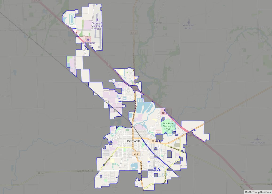
Online Interactive Map
Click on ![]() to view map in "full screen" mode.
to view map in "full screen" mode.
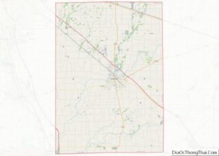
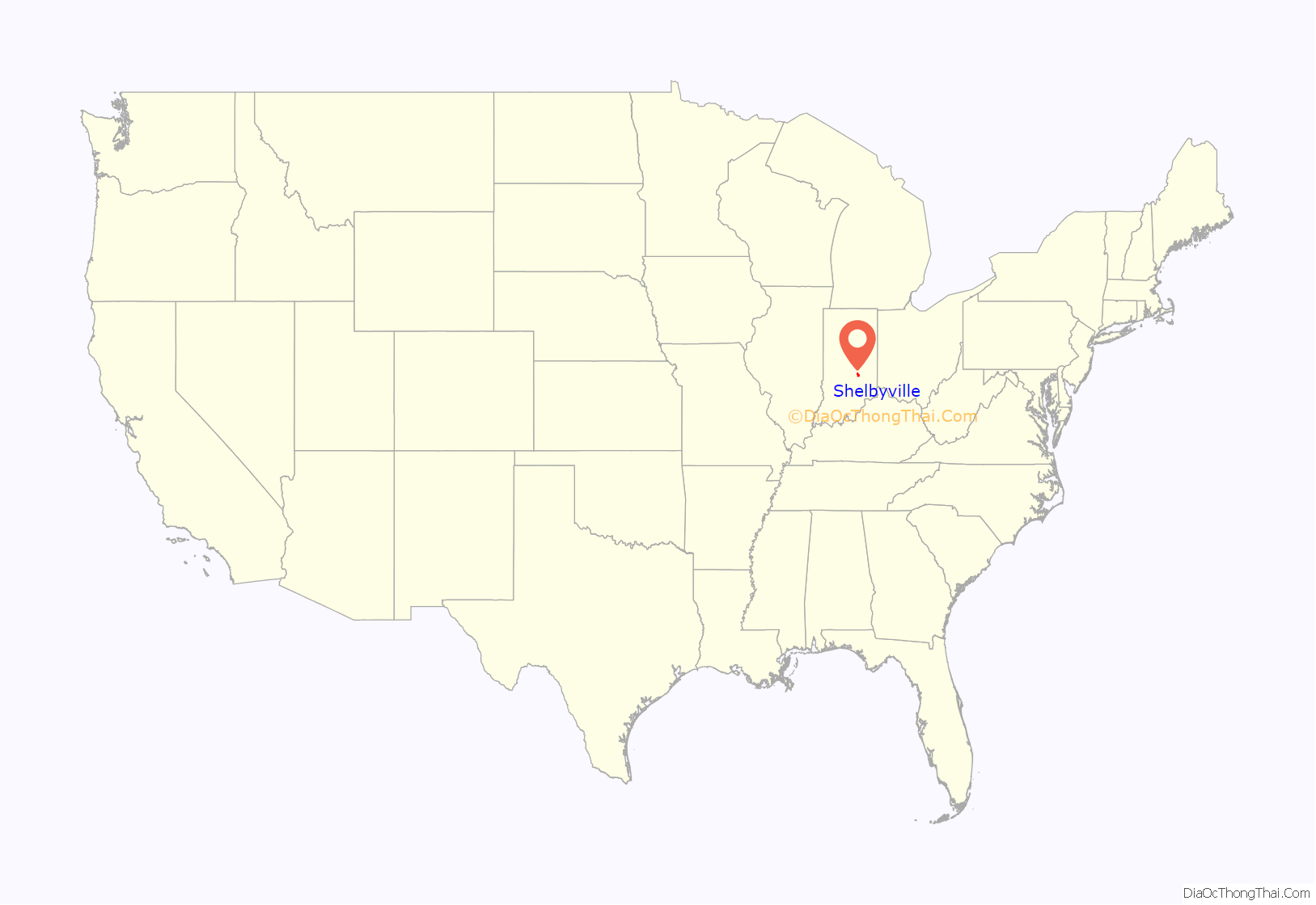
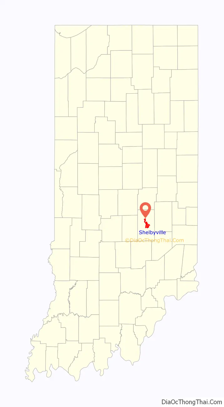
Shelbyville location map. Where is Shelbyville city?
History
In 1818, the land that would become Shelbyville was ceded to the United States by the Miami tribe in the Treaty of St. Mary’s. Also in 1818, the backwoodsman Jacob Whetzel and a party cut a trail through this “New Purchase” from the Whitewater River at Laurel due west to the White River at Waverly. This trail became known as Whetzel’s Trace and was the first east–west road into the New Purchase of central Indiana. Whetzel’s Trace was cut just 4 miles north of site of Shelbyville and proved important in the settlement of Shelby County.
Shelbyville was platted in 1822. Shelbyville was named in honor of Isaac Shelby, the first and fifth Governor of Kentucky and soldier in Lord Dunmore’s War, the Revolutionary War, and the War of 1812. The town incorporated January 21, 1850.
The Shelbyville post office has been in operation since 1823.
The city charter received at that time was destroyed in the City Hall fire on January 1, 1928.
A railroad was built connecting Shelbyville to Indianapolis in the late 1830s, the first railroad in the state, that later expanded to connect to Madison and Jeffersonville.
Allegheny Airlines Flight 853 crashed on September 9, 1969 near Fairland. Nearly thirty of the 83 people killed were never identified and were buried in a mass grave in Shelbyville.
John Hamilton House, Lora B. Pearson School, Porter Pool Bathhouse, Shelbyville Commercial Historic District, Shelby County Courthouse, Shelbyville High School, and West Side Historic District are listed on the National Register of Historic Places. The Grover Museum features a “Streets of Old Shelby” exhibit.
Horseshoe Indianapolis (owned by Caesars Entertainment) opened in 2009.
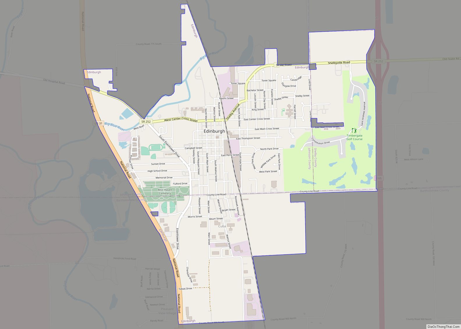
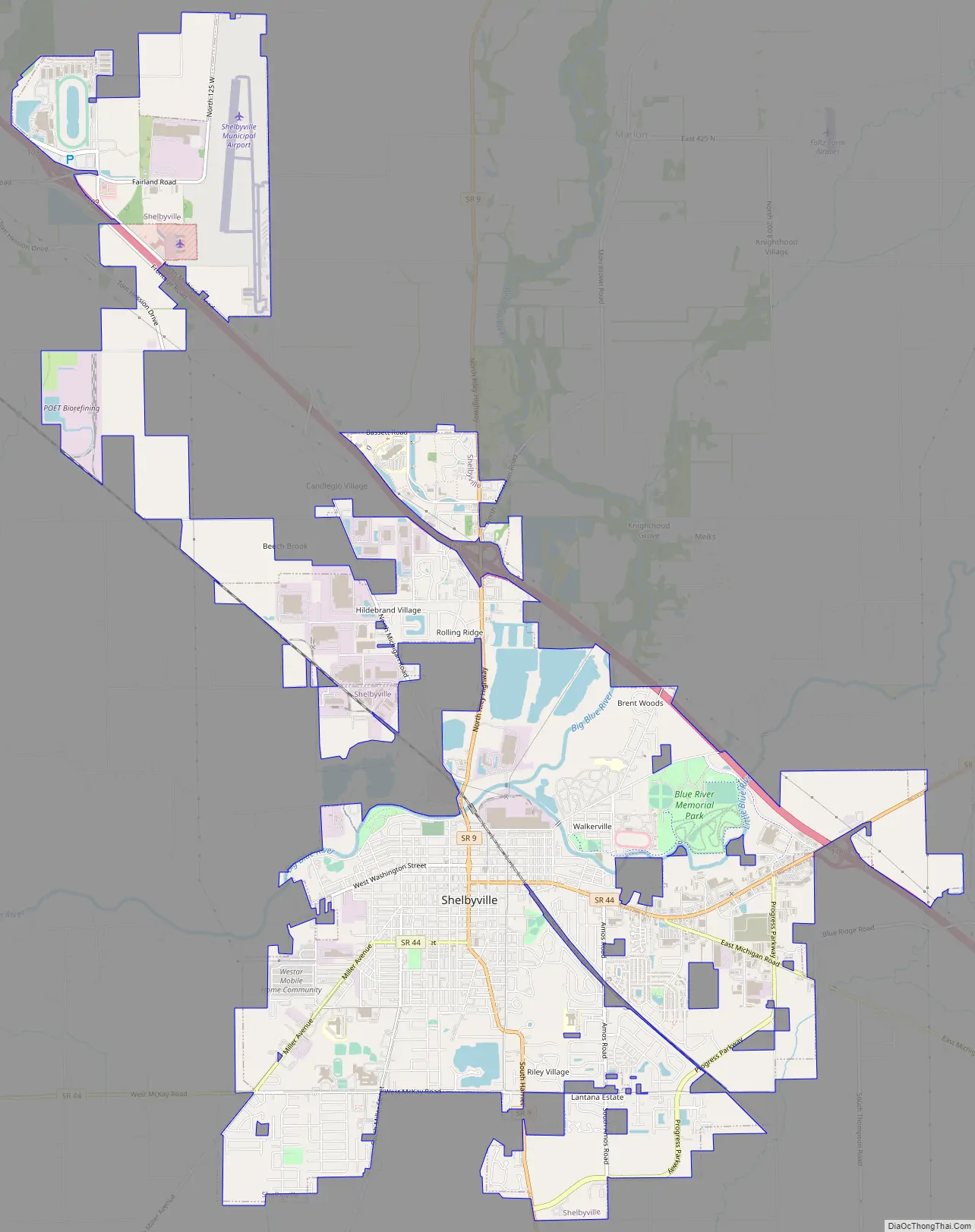
Shelbyville Road Map
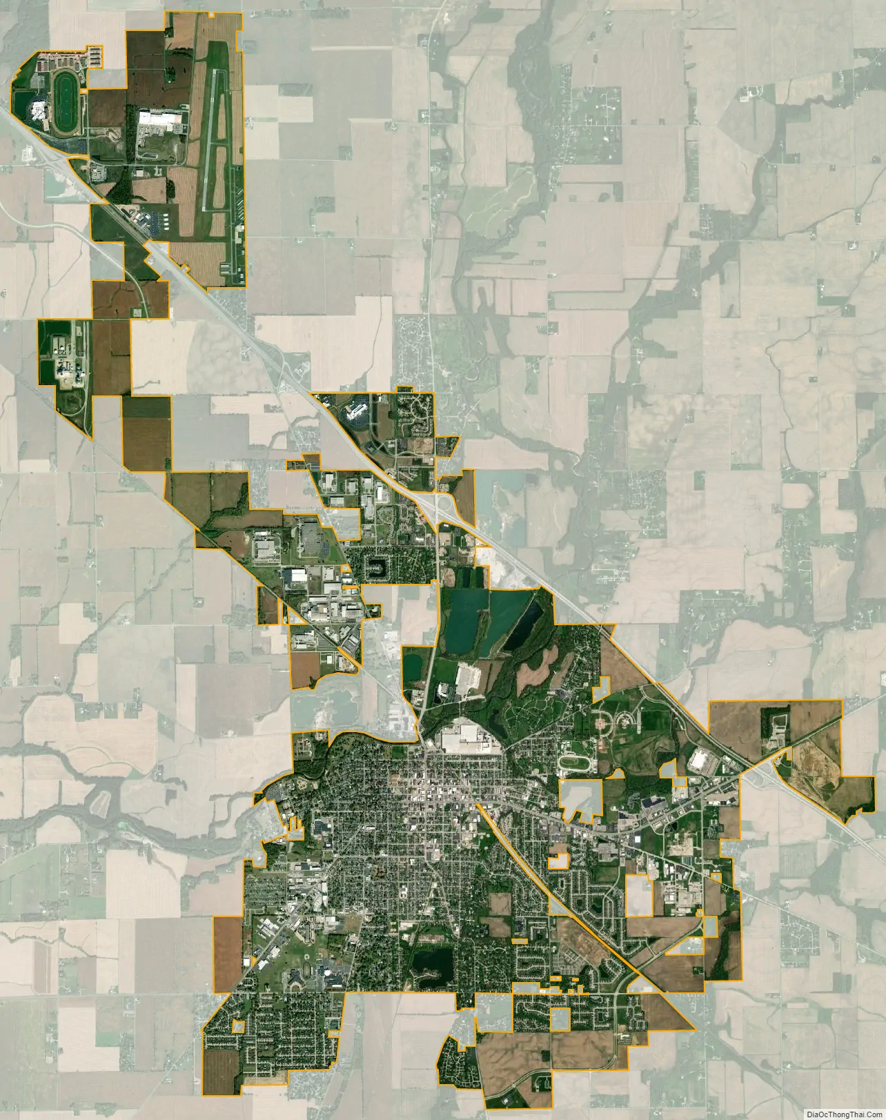
Shelbyville city Satellite Map
Geography
Shelbyville is located in Central Indiana and within the Indianapolis metropolitan area. It is 26 miles (42 km) southeast of Indianapolis. The city is at the fork of the Little Blue and Big Blue Rivers.
According to the 2010 census, Shelbyville has a total area of 11.845 square miles (30.68 km), of which 11.56 square miles (29.94 km) (or 97.59%) is land and 0.285 square miles (0.74 km) (or 2.41%) is water.
Climate
Shelbyville has a humid continental climate (Köppen climate classification Dfa) experiencing four distinct seasons.
See also
Map of Indiana State and its subdivision:- Adams
- Allen
- Bartholomew
- Benton
- Blackford
- Boone
- Brown
- Carroll
- Cass
- Clark
- Clay
- Clinton
- Crawford
- Daviess
- De Kalb
- Dearborn
- Decatur
- Delaware
- Dubois
- Elkhart
- Fayette
- Floyd
- Fountain
- Franklin
- Fulton
- Gibson
- Grant
- Greene
- Hamilton
- Hancock
- Harrison
- Hendricks
- Henry
- Howard
- Huntington
- Jackson
- Jasper
- Jay
- Jefferson
- Jennings
- Johnson
- Knox
- Kosciusko
- LaGrange
- Lake
- Lake Michigan
- LaPorte
- Lawrence
- Madison
- Marion
- Marshall
- Martin
- Miami
- Monroe
- Montgomery
- Morgan
- Newton
- Noble
- Ohio
- Orange
- Owen
- Parke
- Perry
- Pike
- Porter
- Posey
- Pulaski
- Putnam
- Randolph
- Ripley
- Rush
- Saint Joseph
- Scott
- Shelby
- Spencer
- Starke
- Steuben
- Sullivan
- Switzerland
- Tippecanoe
- Tipton
- Union
- Vanderburgh
- Vermillion
- Vigo
- Wabash
- Warren
- Warrick
- Washington
- Wayne
- Wells
- White
- Whitley
- Alabama
- Alaska
- Arizona
- Arkansas
- California
- Colorado
- Connecticut
- Delaware
- District of Columbia
- Florida
- Georgia
- Hawaii
- Idaho
- Illinois
- Indiana
- Iowa
- Kansas
- Kentucky
- Louisiana
- Maine
- Maryland
- Massachusetts
- Michigan
- Minnesota
- Mississippi
- Missouri
- Montana
- Nebraska
- Nevada
- New Hampshire
- New Jersey
- New Mexico
- New York
- North Carolina
- North Dakota
- Ohio
- Oklahoma
- Oregon
- Pennsylvania
- Rhode Island
- South Carolina
- South Dakota
- Tennessee
- Texas
- Utah
- Vermont
- Virginia
- Washington
- West Virginia
- Wisconsin
- Wyoming