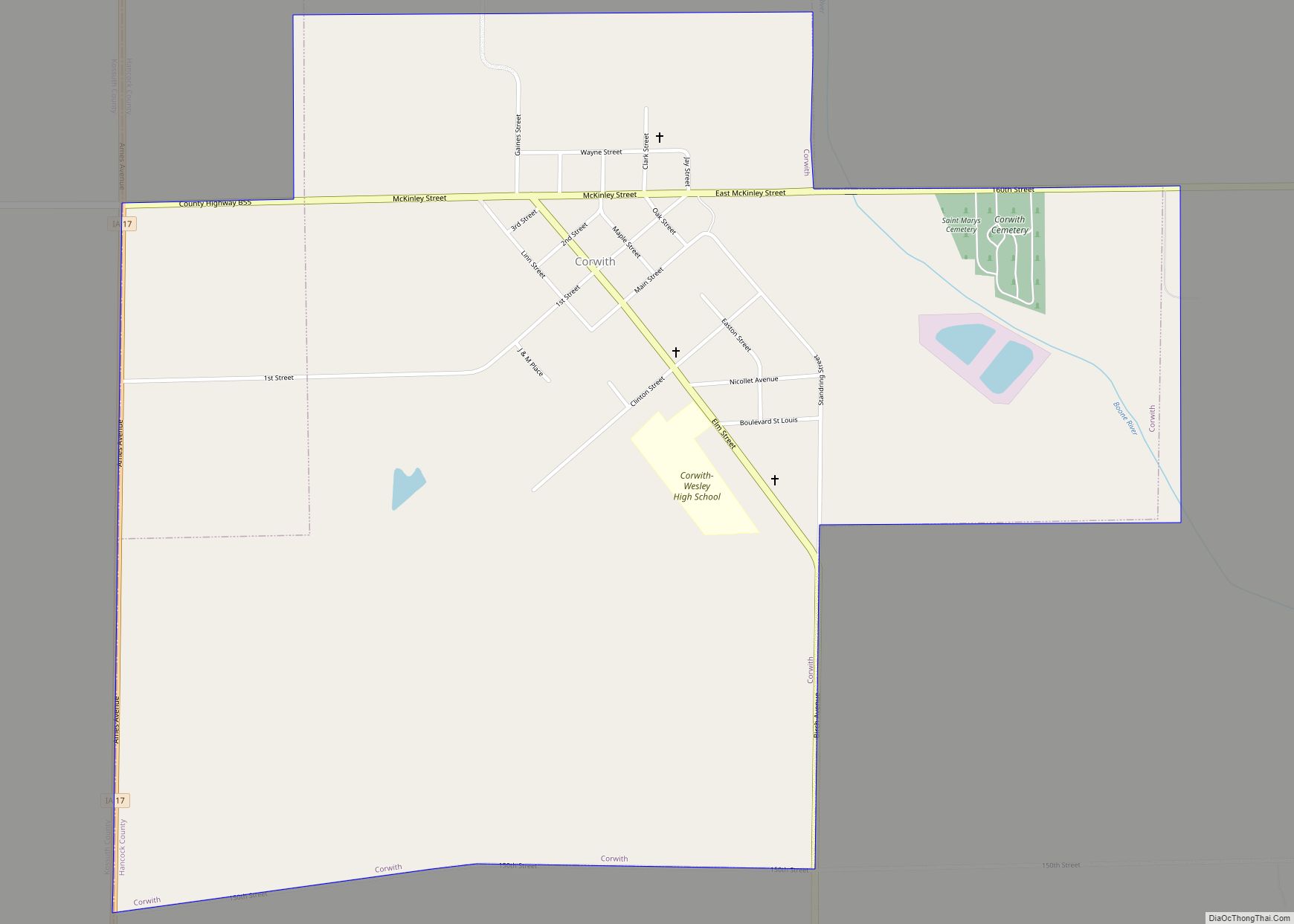
Corwith is a city in Hancock County, Iowa, United States. The population was 266 at the time of the 2020 census. Corwith city overview: Name: Corwith city LSAD Code: 25 LSAD Description: city (suffix) State: Iowa County: Hancock County Elevation: 1,178 ft (359 m) Total Area: 1.45 sq mi (3.75 km²) Land Area: 1.45 sq mi (3.75 km²) Water Area: 0.00 sq mi (0.00 km²) Total ... Read more
Iowa Cities and Places
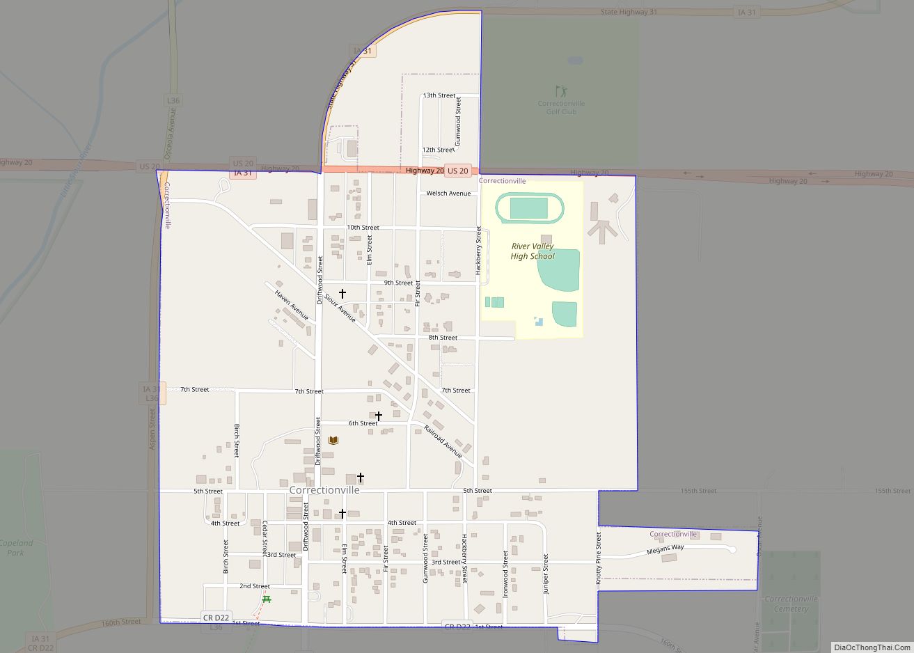
Correctionville is a city in Woodbury County, Iowa, United States. It is part of the Sioux City, IA–NE–SD Metropolitan Statistical Area. The population was 766 at the time of the 2020 census. The town name comes from the original survey of the town. Correctionville has been noted for its unusual place name. It is supposedly ... Read more
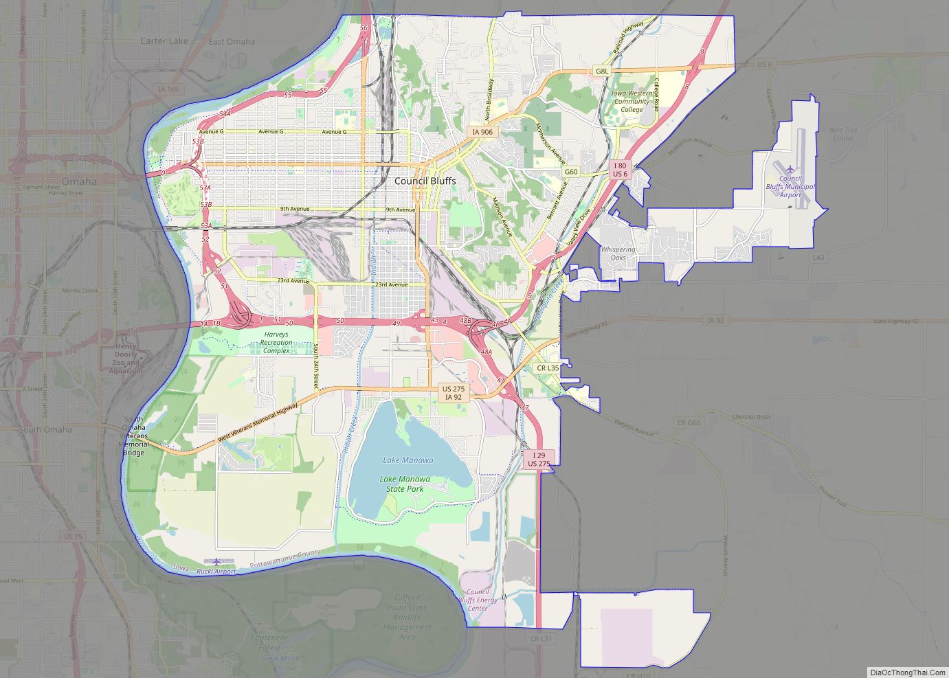
Council Bluffs is a city in and the county seat of Pottawattamie County, Iowa, United States. It is the most populous city in Southwest Iowa, as well as the third largest and a primary city of the Omaha-Council Bluffs Metropolitan Area. It is located on the east bank of the Missouri River, across from Omaha, ... Read more
Coulter is a city in Franklin County, Iowa, United States. The population was 219 at the 2020 census. Coulter city overview: Name: Coulter city LSAD Code: 25 LSAD Description: city (suffix) State: Iowa County: Franklin County Elevation: 1,240 ft (378 m) Total Area: 2.47 sq mi (6.40 km²) Land Area: 2.47 sq mi (6.40 km²) Water Area: 0.00 sq mi (0.00 km²) Total Population: 219 Population ... Read more
Cotter is a city in western Louisa County, Iowa, United States. The population was 39 at the 2020 census. It is part of the Muscatine Micropolitan Statistical Area. Cotter city overview: Name: Cotter city LSAD Code: 25 LSAD Description: city (suffix) State: Iowa County: Louisa County Elevation: 712 ft (217 m) Total Area: 0.10 sq mi (0.25 km²) Land Area: ... Read more
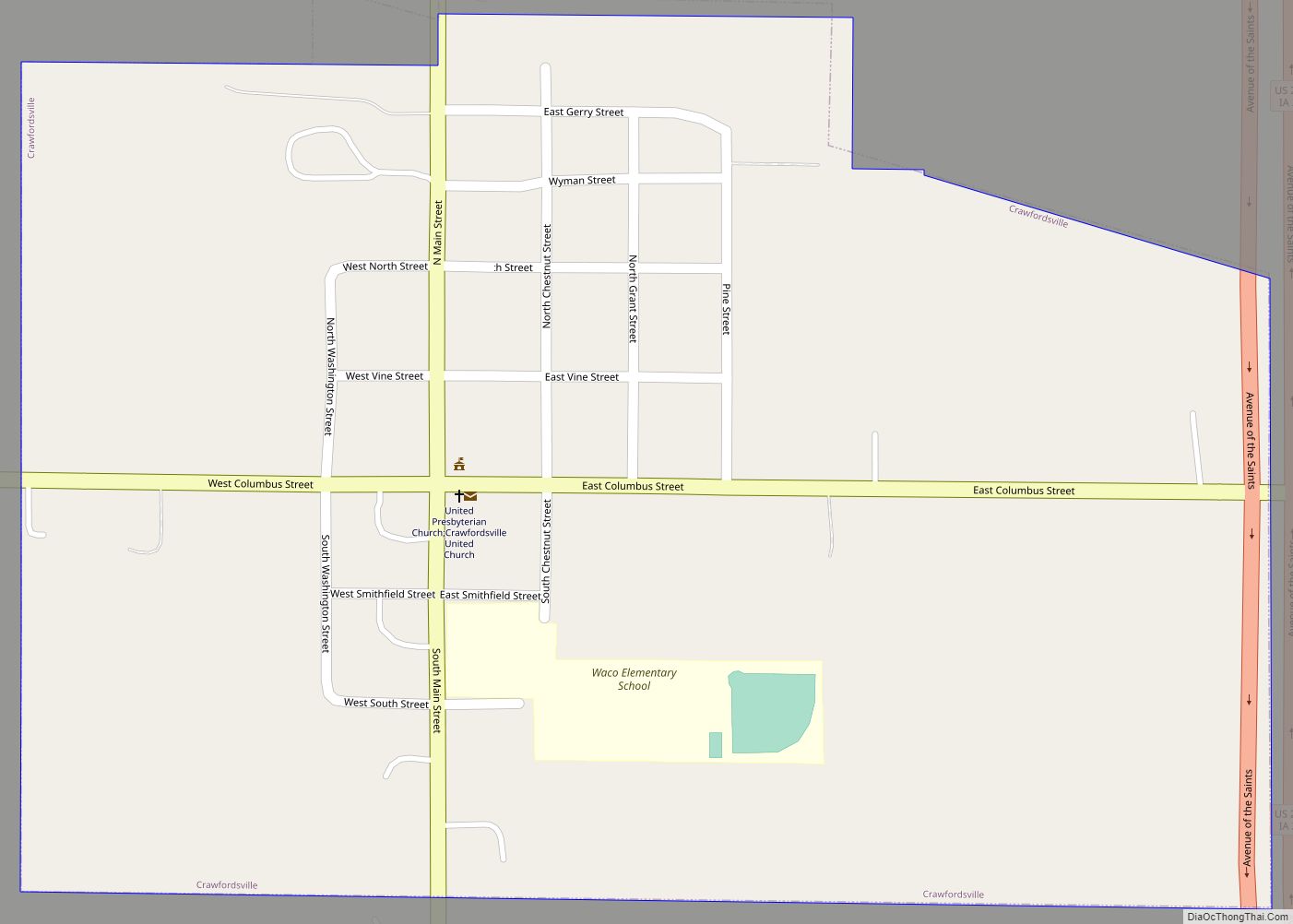
Crawfordsville is a city in Washington County, Iowa, United States. It is part of the Iowa City, Iowa Metropolitan Statistical Area. The population was 277 at the 2020 census. Crawfordsville city overview: Name: Crawfordsville city LSAD Code: 25 LSAD Description: city (suffix) State: Iowa County: Washington County Incorporated: March 26, 1891 Elevation: 709 ft (216 m) Total ... Read more
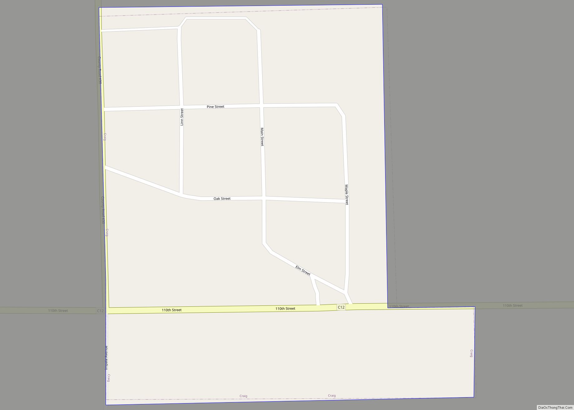
Craig is a city in Plymouth County, Iowa, United States. The population was 79 at the 2020 census. The town of Craig was incorporated in Plymouth County on April 26, 1911. Craig city overview: Name: Craig city LSAD Code: 25 LSAD Description: city (suffix) State: Iowa County: Plymouth County Elevation: 1,398 ft (426 m) Total Area: 0.09 sq mi ... Read more
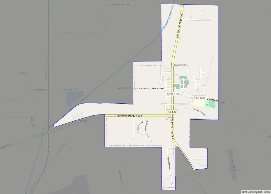
Crescent is a city in Pottawattamie County, Iowa, United States. The population was 628 at the 2020 census. Crescent city overview: Name: Crescent city LSAD Code: 25 LSAD Description: city (suffix) State: Iowa County: Pottawattamie County Elevation: 1,010 ft (308 m) Total Area: 0.97 sq mi (2.51 km²) Land Area: 0.97 sq mi (2.50 km²) Water Area: 0.00 sq mi (0.01 km²) Total Population: 628 Population ... Read more
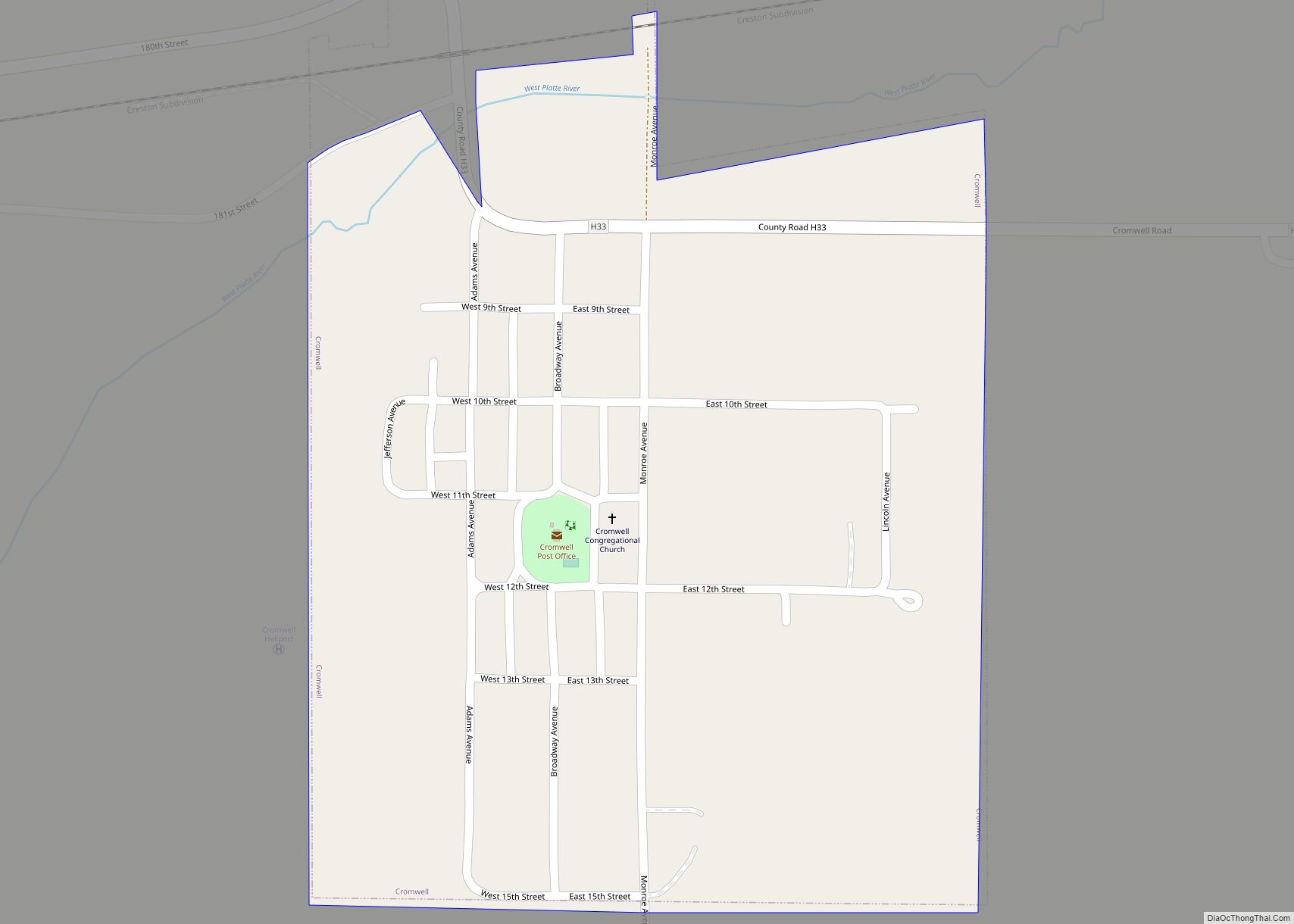
Cromwell is a city in Union County, Iowa, United States. The population was 105 at the 2020 census. Cromwell city overview: Name: Cromwell city LSAD Code: 25 LSAD Description: city (suffix) State: Iowa County: Union County Elevation: 1,286 ft (392 m) Total Area: 0.30 sq mi (0.77 km²) Land Area: 0.30 sq mi (0.77 km²) Water Area: 0.00 sq mi (0.00 km²) Total Population: 105 Population ... Read more
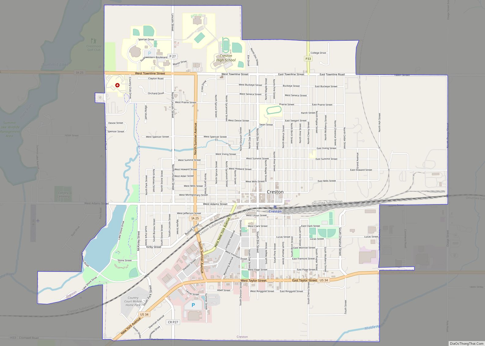
Creston is a city in and the county seat of Union County, Iowa. The population was 7,536 at the time of the 2020 Census. Creston city overview: Name: Creston city LSAD Code: 25 LSAD Description: city (suffix) State: Iowa County: Union County Elevation: 1,312 ft (400 m) Total Area: 5.25 sq mi (13.60 km²) Land Area: 5.19 sq mi (13.44 km²) Water Area: ... Read more
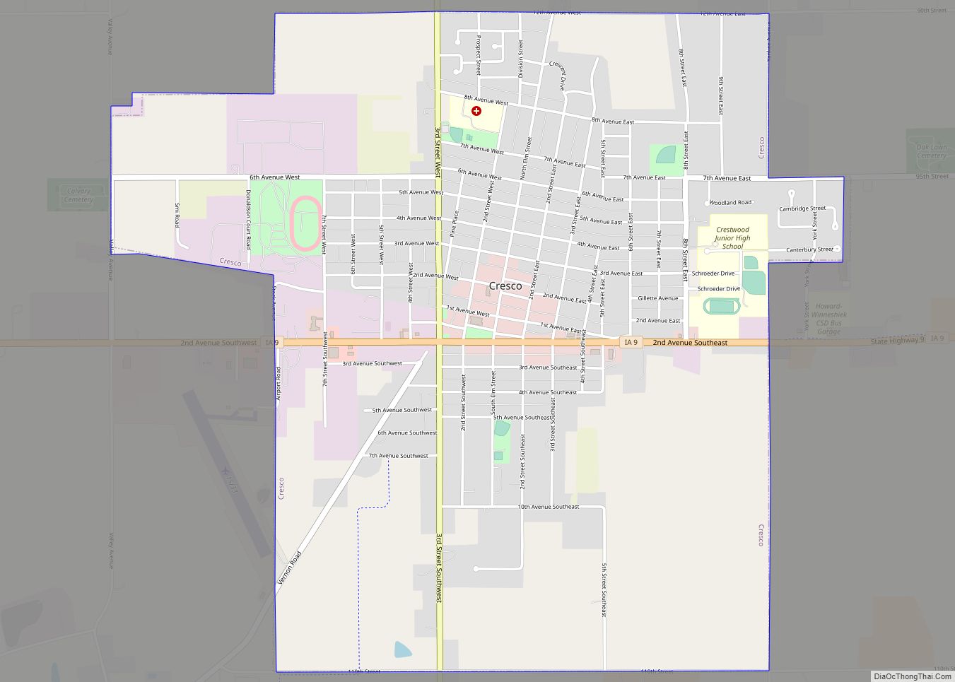
Cresco is a city in Howard County, Iowa, United States. The population was 3,888 in the 2020 census, a decline from 3,905 in 2000 census. It is the county seat of Howard County. Cresco city overview: Name: Cresco city LSAD Code: 25 LSAD Description: city (suffix) State: Iowa County: Howard County Incorporated: June 6, 1868 ... Read more
Cumming is a city in Warren County, Iowa, United States. The population was 436 at the time of the 2020 census. It is the hometown of former Senator Tom Harkin. A part of the Des Moines–West Des Moines Metropolitan Statistical Area, Cumming is considered one of the smallest incorporated suburbs of the metro area. The ... Read more
