Cresco is a city in Howard County, Iowa, United States. The population was 3,888 in the 2020 census, a decline from 3,905 in 2000 census. It is the county seat of Howard County.
| Name: | Cresco city |
|---|---|
| LSAD Code: | 25 |
| LSAD Description: | city (suffix) |
| State: | Iowa |
| County: | Howard County |
| Incorporated: | June 6, 1868 |
| Elevation: | 1,293 ft (394 m) |
| Total Area: | 3.34 sq mi (8.65 km²) |
| Land Area: | 3.34 sq mi (8.65 km²) |
| Water Area: | 0.00 sq mi (0.00 km²) |
| Total Population: | 3,888 |
| Population Density: | 1,164.07/sq mi (449.49/km²) |
| ZIP code: | 52136 |
| Area code: | 563 |
| FIPS code: | 1917220 |
| GNISfeature ID: | 0455712 |
| Website: | www.cityofcresco.com |
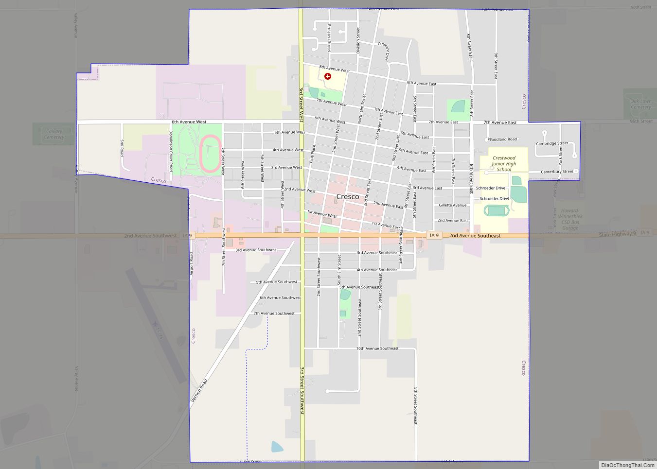
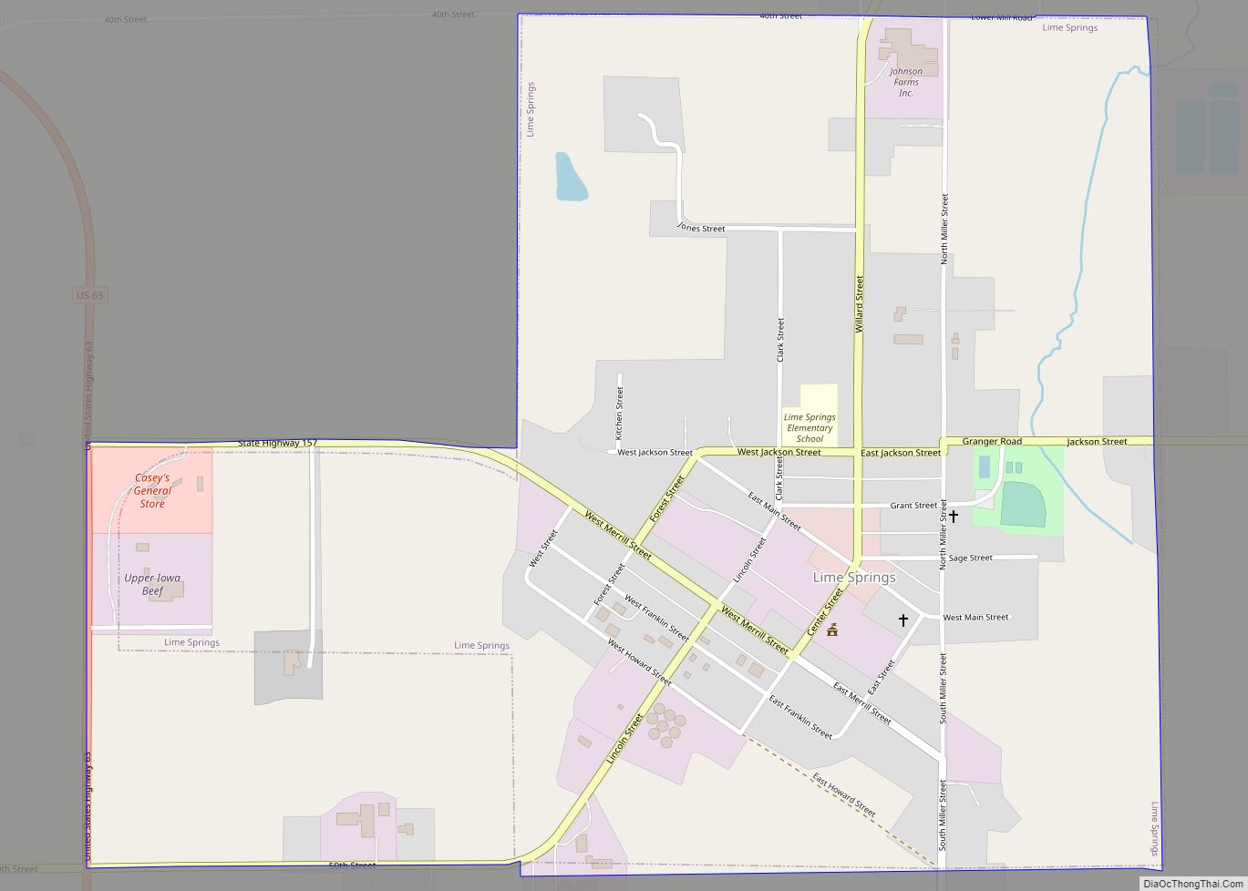
Online Interactive Map
Click on ![]() to view map in "full screen" mode.
to view map in "full screen" mode.
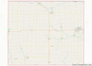
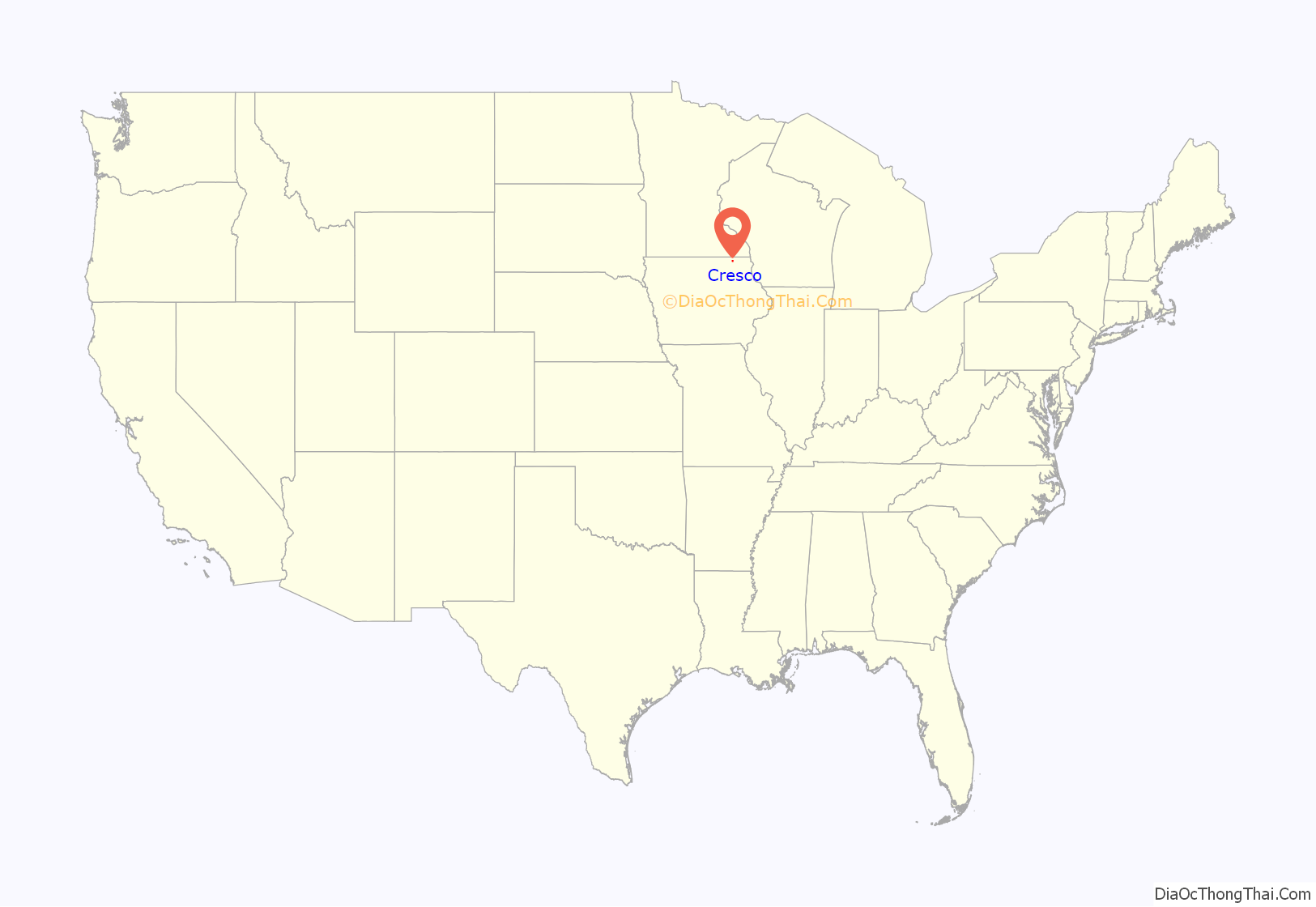
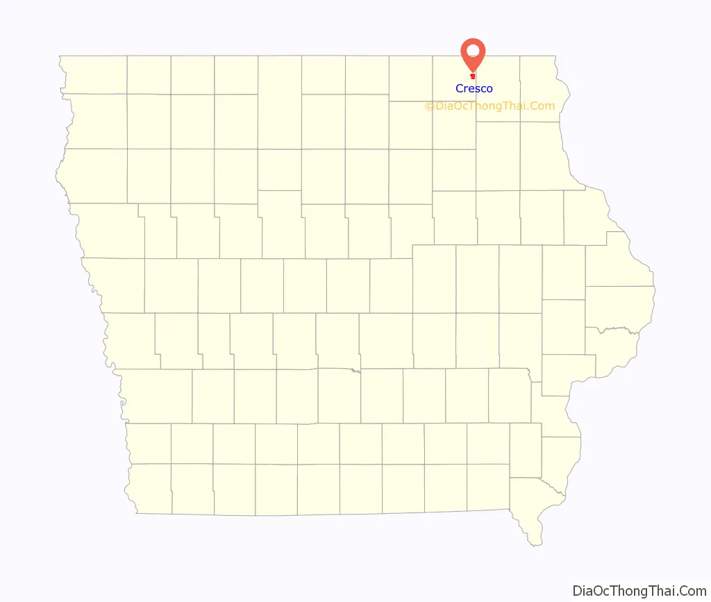
Cresco location map. Where is Cresco city?
History
Cresco was platted in 1866 at the time the railroad was expanding into the area. Cresco is a Latin phrase meaning “I grow”. Cresco was incorporated on June 6, 1868.
On October 20, 1980, The David Letterman Show was broadcast from Cresco, the winner in a competition to host the show.
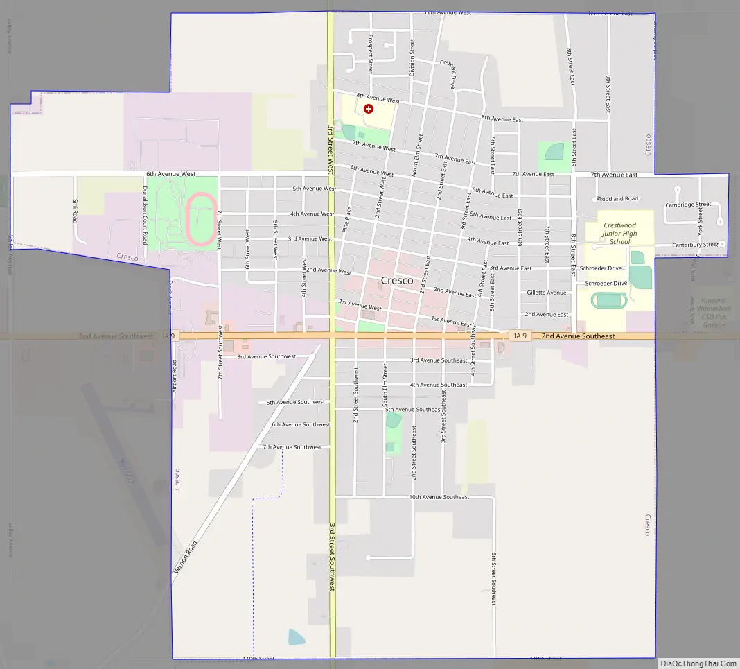
Cresco Road Map
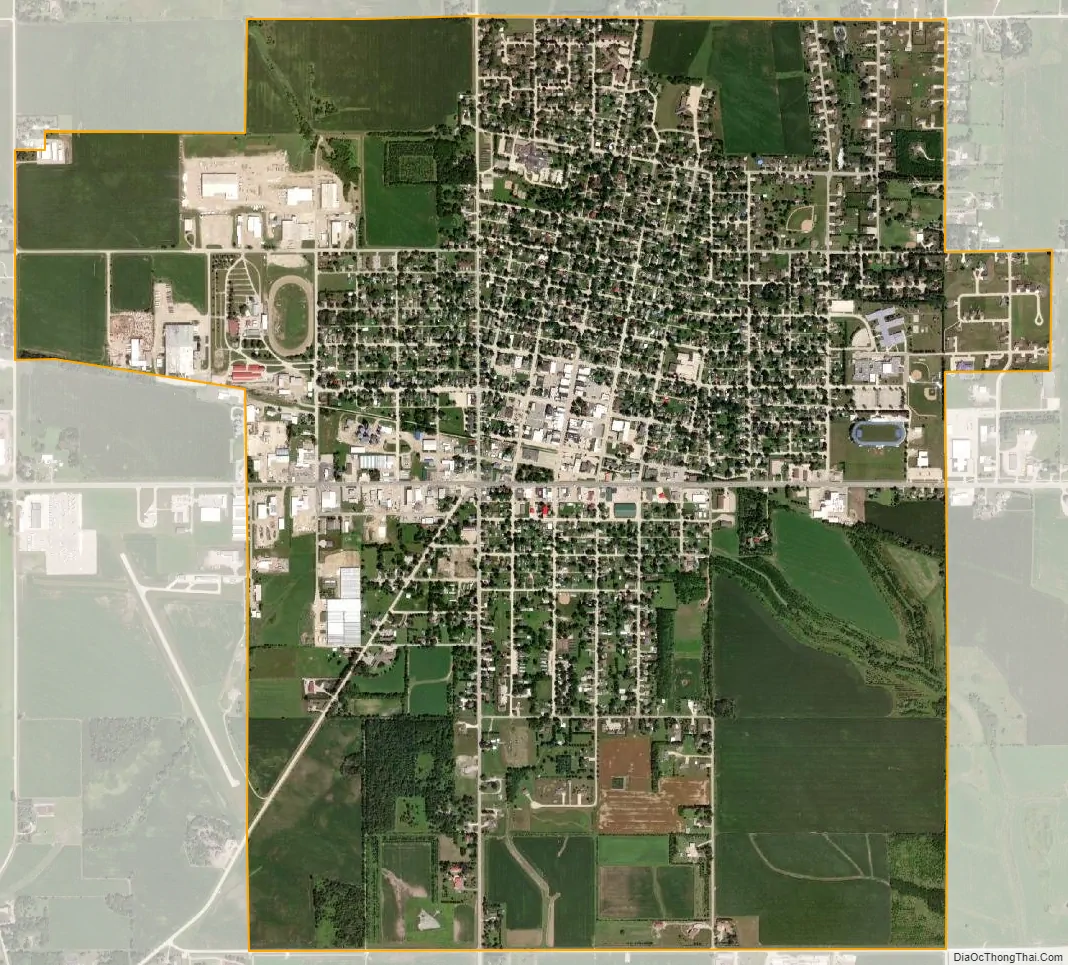
Cresco city Satellite Map
Geography
Cresco’s longitude and latitude coordinates in decimal form are 43.374491, −92.115121.
According to the United States Census Bureau, the city has a total area of 3.35 square miles (8.68 km), all of it land.
Climate
Cresco experiences a humid continental climate (Köppen Dfb) with long, cold, snowy winters and very warm, humid summers.
See also
Map of Iowa State and its subdivision:- Adair
- Adams
- Allamakee
- Appanoose
- Audubon
- Benton
- Black Hawk
- Boone
- Bremer
- Buchanan
- Buena Vista
- Butler
- Calhoun
- Carroll
- Cass
- Cedar
- Cerro Gordo
- Cherokee
- Chickasaw
- Clarke
- Clay
- Clayton
- Clinton
- Crawford
- Dallas
- Davis
- Decatur
- Delaware
- Des Moines
- Dickinson
- Dubuque
- Emmet
- Fayette
- Floyd
- Franklin
- Fremont
- Greene
- Grundy
- Guthrie
- Hamilton
- Hancock
- Hardin
- Harrison
- Henry
- Howard
- Humboldt
- Ida
- Iowa
- Jackson
- Jasper
- Jefferson
- Johnson
- Jones
- Keokuk
- Kossuth
- Lee
- Linn
- Louisa
- Lucas
- Lyon
- Madison
- Mahaska
- Marion
- Marshall
- Mills
- Mitchell
- Monona
- Monroe
- Montgomery
- Muscatine
- O'Brien
- Osceola
- Page
- Palo Alto
- Plymouth
- Pocahontas
- Polk
- Pottawattamie
- Poweshiek
- Ringgold
- Sac
- Scott
- Shelby
- Sioux
- Story
- Tama
- Taylor
- Union
- Van Buren
- Wapello
- Warren
- Washington
- Wayne
- Webster
- Winnebago
- Winneshiek
- Woodbury
- Worth
- Wright
- Alabama
- Alaska
- Arizona
- Arkansas
- California
- Colorado
- Connecticut
- Delaware
- District of Columbia
- Florida
- Georgia
- Hawaii
- Idaho
- Illinois
- Indiana
- Iowa
- Kansas
- Kentucky
- Louisiana
- Maine
- Maryland
- Massachusetts
- Michigan
- Minnesota
- Mississippi
- Missouri
- Montana
- Nebraska
- Nevada
- New Hampshire
- New Jersey
- New Mexico
- New York
- North Carolina
- North Dakota
- Ohio
- Oklahoma
- Oregon
- Pennsylvania
- Rhode Island
- South Carolina
- South Dakota
- Tennessee
- Texas
- Utah
- Vermont
- Virginia
- Washington
- West Virginia
- Wisconsin
- Wyoming