Creston is a city in and the county seat of Union County, Iowa. The population was 7,536 at the time of the 2020 Census.
| Name: | Creston city |
|---|---|
| LSAD Code: | 25 |
| LSAD Description: | city (suffix) |
| State: | Iowa |
| County: | Union County |
| Elevation: | 1,312 ft (400 m) |
| Total Area: | 5.25 sq mi (13.60 km²) |
| Land Area: | 5.19 sq mi (13.44 km²) |
| Water Area: | 0.06 sq mi (0.16 km²) |
| Total Population: | 7,536 |
| Population Density: | 1,452.30/sq mi (560.78/km²) |
| ZIP code: | 50801 |
| Area code: | 641 |
| FIPS code: | 1917265 |
| GNISfeature ID: | 0455716 |
| Website: | www.crestoniowa.gov |
Online Interactive Map
Click on ![]() to view map in "full screen" mode.
to view map in "full screen" mode.
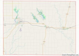
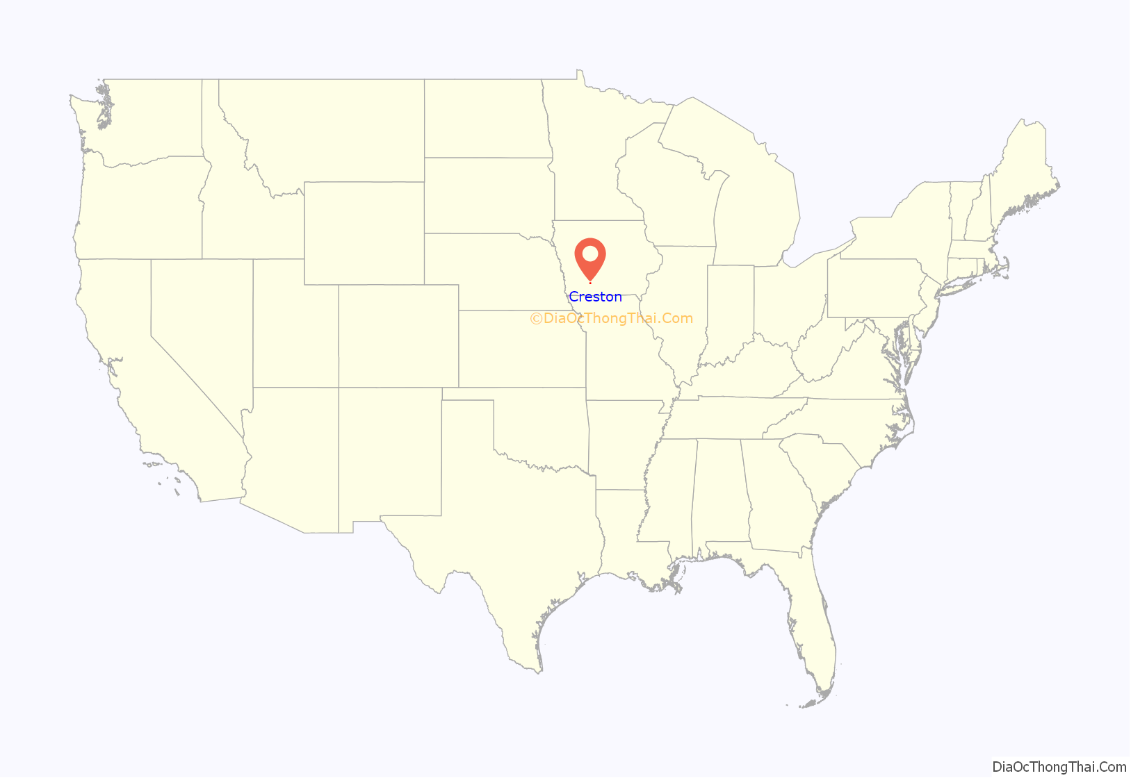
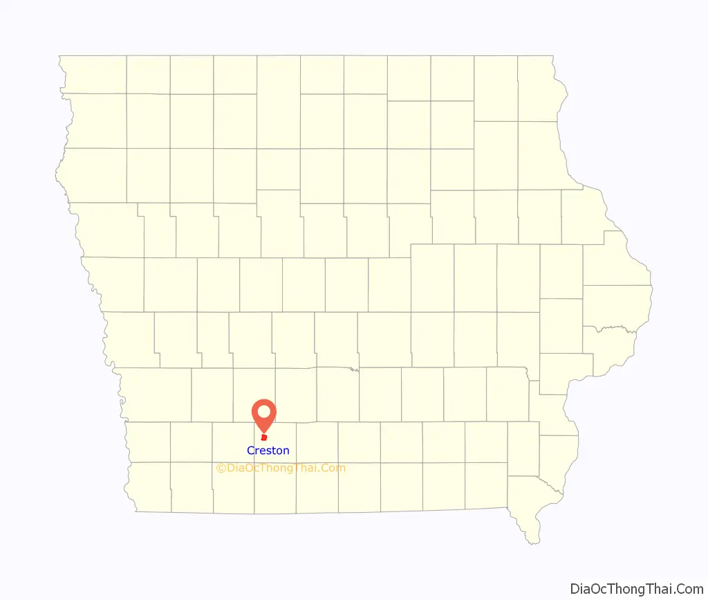
Creston location map. Where is Creston city?
History
Creston was originally settled in 1868 as a survey camp for the Burlington and Missouri Railroad. It was named for the fact that it was on the crest of the railroad line between the Missouri and Mississippi river basins. The area was developed largely for agriculture, with related industries accompanying it. Creston had a flour mill in the early decades of the 20th century. The town was officially established in 1869 and incorporated in 1871.
Creston was chosen as the division point for the railroad, who built machine shops, a roundhouse, and a construction camp in the new town. Railroad employees, including African Americans, were recruited from Chicago and other major cities to work in Creston. The Chicago, Burlington and Quincy Railroad (CB&Q) opened a new station in Creston in 1899. The three-story, yellow brick Creston station is in the French Provincial style, with a red-tiled mansard roof.
Creston’s economy and population were affected during the mid-20th century by a reduction in passenger train service and decline in railroad employment. The old machine shop building was destroyed by a tornado in 1946 and the remainder of the roundhouse burned down in 1981. The CB&Q station served passengers for 69 years before being renovated in 1978 to serve as city hall.
The railroad, now BNSF Railway, continues to be a major hauler of grain and coal in the region and uses Creston as a crew change point: Creston-based crews operate trains between Creston and Lincoln, Nebraska, while crews from Galesburg, Illinois and Lincoln stay in Creston before returning home.
Creston is served by Amtrak’s daily Chicago–San Francisco Bay Area California Zephyr. Amtrak has used Creston’s historic CB&Q station since 2019.
2012 tornado
Creston was hit by an EF2 tornado on April 14, 2012. The tornado caused considerable damage to the hospital, community college, Kingdom Hall of Jehovah’s Witnesses, and the high school. The town’s tornado sirens did not sound, catching people off guard. Patients at the hospital were transferred to other local hospitals. The college suffered roof and window damage to its dorms and students were transferred to local hotels for the rest of the school semester. Fourteen people suffered minor injuries; there were no deaths. The Greater Regional Medical Center was two weeks from an open house to unveil a major renovation when it was severely damaged by the tornado. One year after the tornado and $10 million in renovations later, the hospital was fully restored.
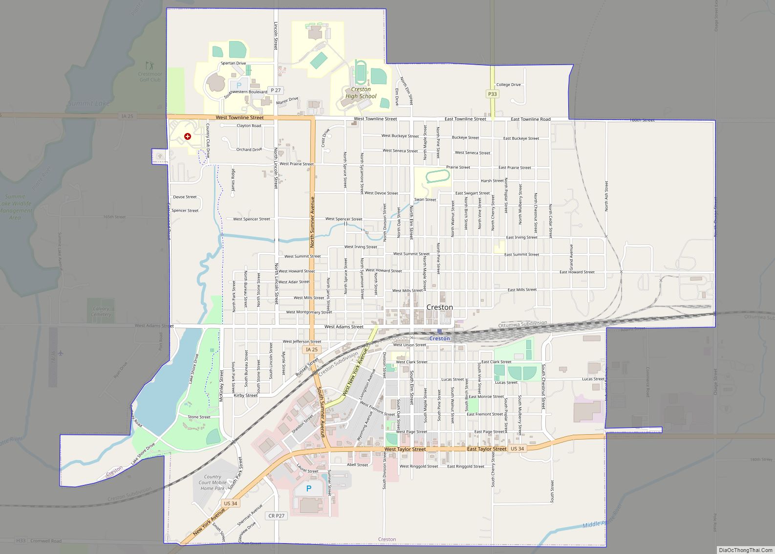
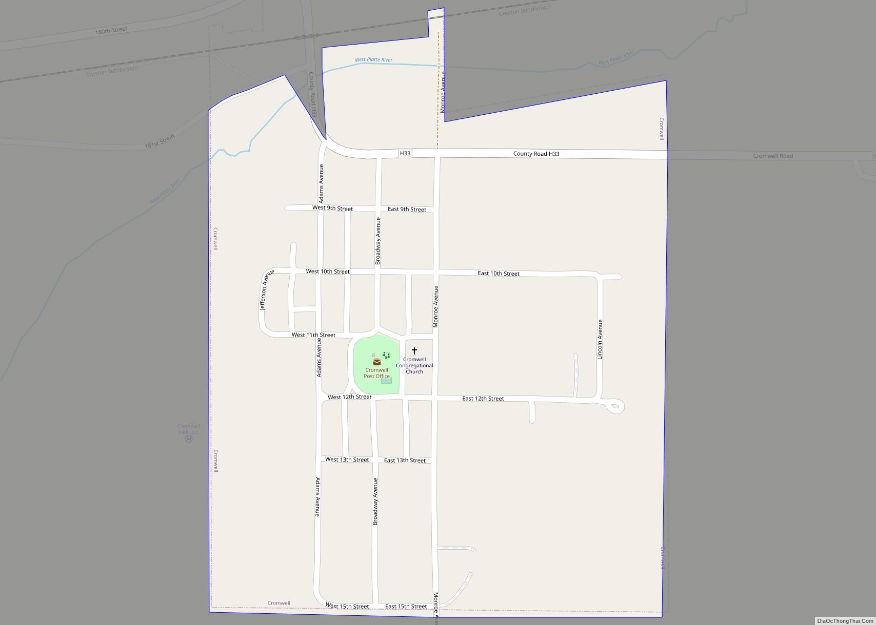
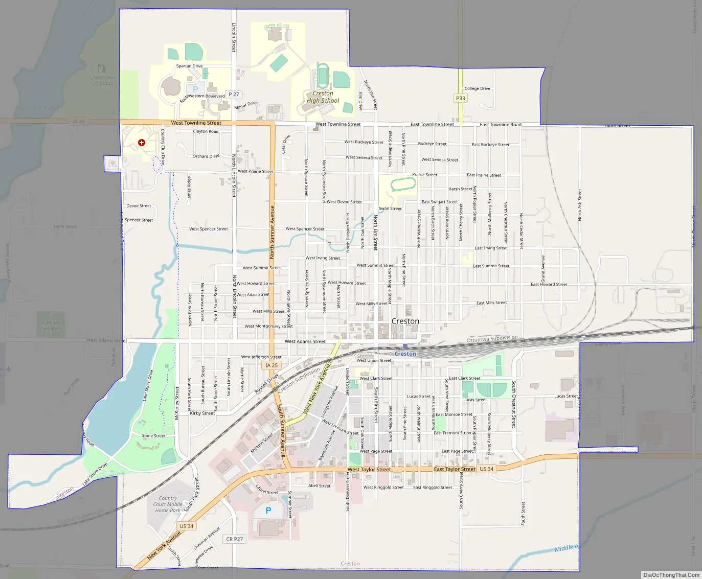
Creston Road Map
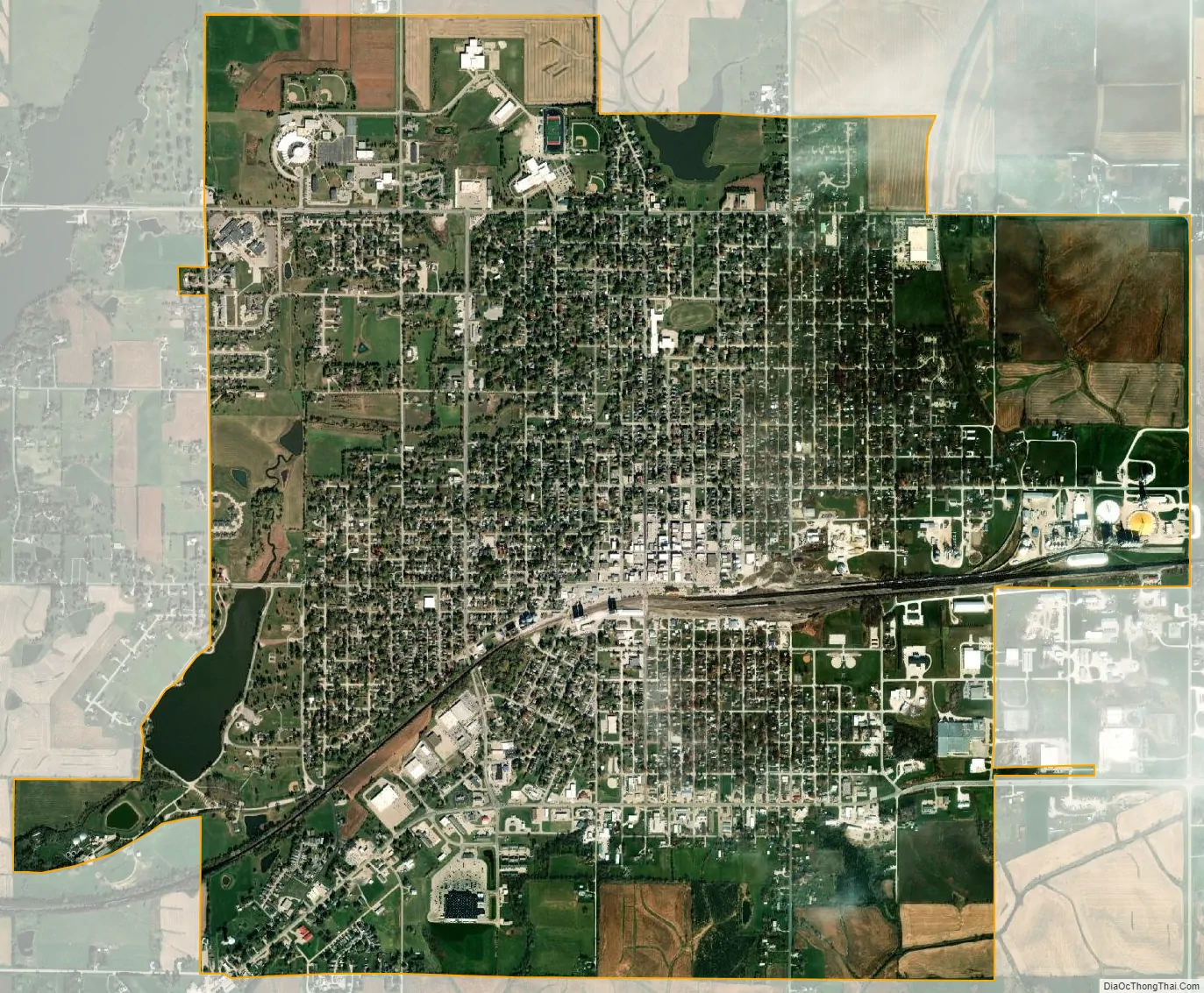
Creston city Satellite Map
Geography
Creston is located on U.S. Route 34 in southwest Iowa, approximately 55 miles (90 km) southwest of Des Moines and 80 miles (130 km) east of Omaha, Nebraska. According to the United States Census Bureau, the city has a total area of 5.25 square miles (13.60 km), of which 5.19 square miles (13.44 km) is land and 0.06 square miles (0.16 km) is water.
McKinley Lake lies within a large, multi-purpose municipal park within the city limits, and three additional recreational lakes are located within seven miles of Creston: Green Valley State Park, Summit Lake, Twelve Mile Lake and Three Mile Recreation Area.
See also
Map of Iowa State and its subdivision:- Adair
- Adams
- Allamakee
- Appanoose
- Audubon
- Benton
- Black Hawk
- Boone
- Bremer
- Buchanan
- Buena Vista
- Butler
- Calhoun
- Carroll
- Cass
- Cedar
- Cerro Gordo
- Cherokee
- Chickasaw
- Clarke
- Clay
- Clayton
- Clinton
- Crawford
- Dallas
- Davis
- Decatur
- Delaware
- Des Moines
- Dickinson
- Dubuque
- Emmet
- Fayette
- Floyd
- Franklin
- Fremont
- Greene
- Grundy
- Guthrie
- Hamilton
- Hancock
- Hardin
- Harrison
- Henry
- Howard
- Humboldt
- Ida
- Iowa
- Jackson
- Jasper
- Jefferson
- Johnson
- Jones
- Keokuk
- Kossuth
- Lee
- Linn
- Louisa
- Lucas
- Lyon
- Madison
- Mahaska
- Marion
- Marshall
- Mills
- Mitchell
- Monona
- Monroe
- Montgomery
- Muscatine
- O'Brien
- Osceola
- Page
- Palo Alto
- Plymouth
- Pocahontas
- Polk
- Pottawattamie
- Poweshiek
- Ringgold
- Sac
- Scott
- Shelby
- Sioux
- Story
- Tama
- Taylor
- Union
- Van Buren
- Wapello
- Warren
- Washington
- Wayne
- Webster
- Winnebago
- Winneshiek
- Woodbury
- Worth
- Wright
- Alabama
- Alaska
- Arizona
- Arkansas
- California
- Colorado
- Connecticut
- Delaware
- District of Columbia
- Florida
- Georgia
- Hawaii
- Idaho
- Illinois
- Indiana
- Iowa
- Kansas
- Kentucky
- Louisiana
- Maine
- Maryland
- Massachusetts
- Michigan
- Minnesota
- Mississippi
- Missouri
- Montana
- Nebraska
- Nevada
- New Hampshire
- New Jersey
- New Mexico
- New York
- North Carolina
- North Dakota
- Ohio
- Oklahoma
- Oregon
- Pennsylvania
- Rhode Island
- South Carolina
- South Dakota
- Tennessee
- Texas
- Utah
- Vermont
- Virginia
- Washington
- West Virginia
- Wisconsin
- Wyoming