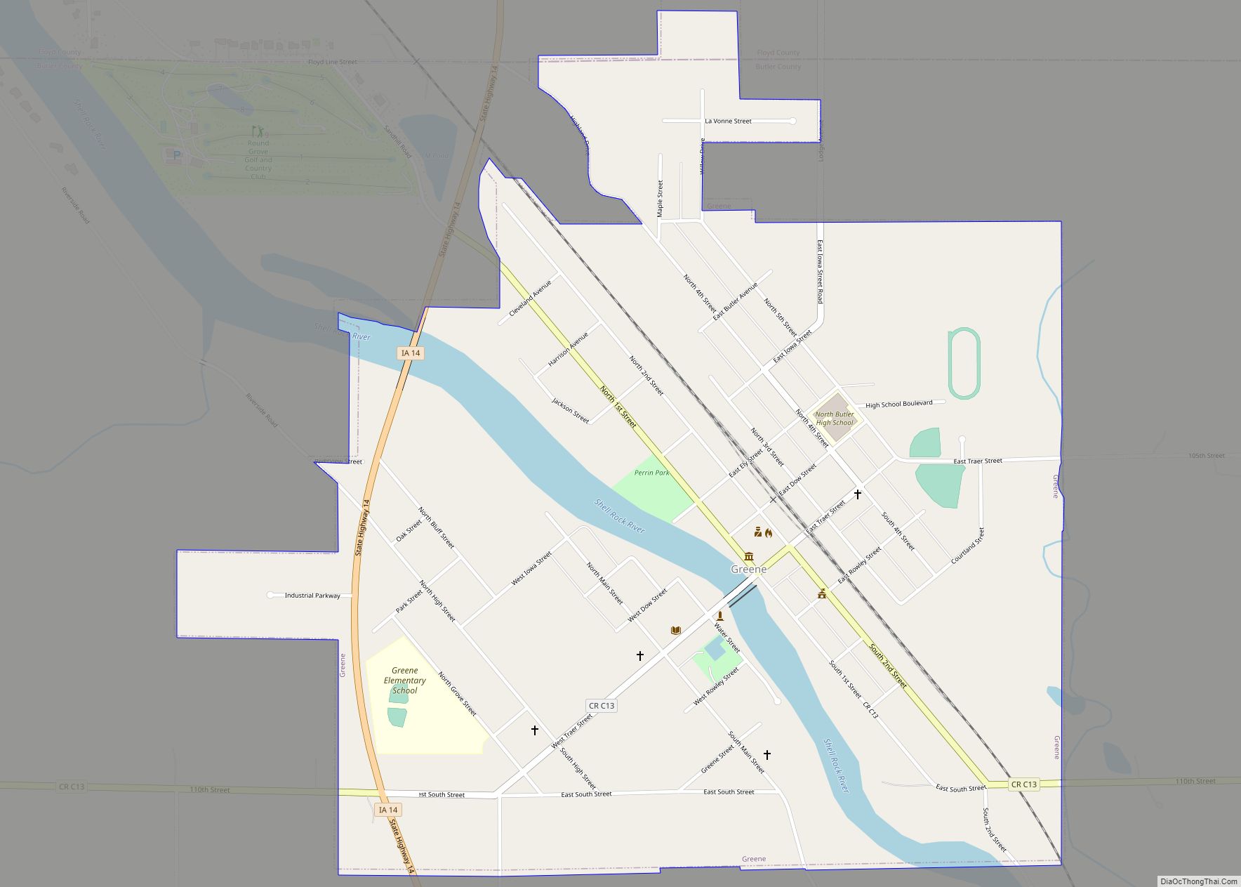
Greene is a city in Butler County, Iowa, United States, along the Shell Rock River, and along Butler County’s northern border, where Butler and Floyd counties meet. The population was 990 at the time of the 2020 census. Greene city overview: Name: Greene city LSAD Code: 25 LSAD Description: city (suffix) State: Iowa County: Butler ... Read more
Iowa Cities and Places
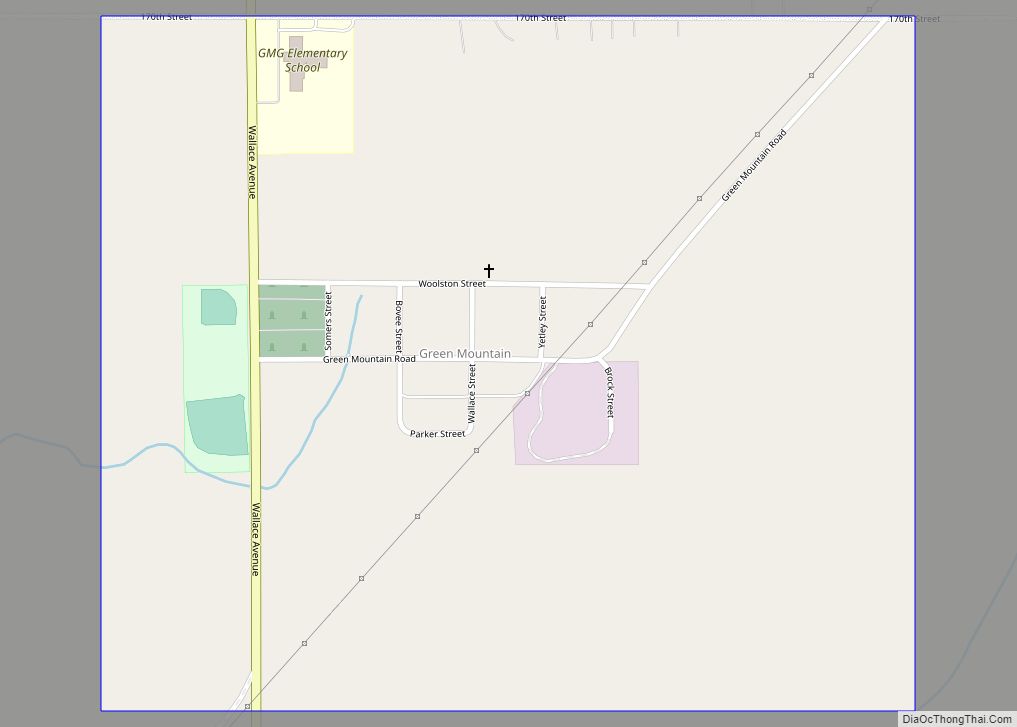
Green Mountain is a rural unincorporated community and census-designated place (CDP) in Marshall County, Iowa, United States. It is located in Marion Township. As of the 2020 census the population of Green Mountain was 113. Green Mountain CDP overview: Name: Green Mountain CDP LSAD Code: 57 LSAD Description: CDP (suffix) State: Iowa County: Marshall County ... Read more
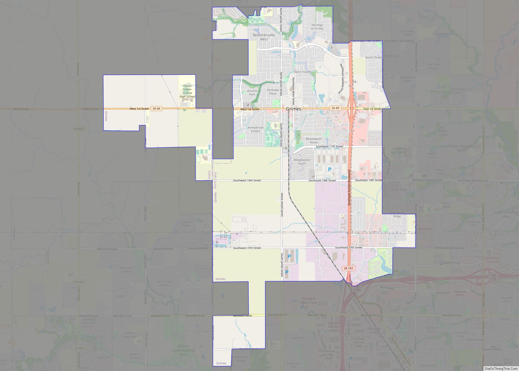
Grimes is a city in Polk and Dallas counties in the U.S. state of Iowa. The population was 15,392 at the time of the 2020 Census. Grimes is part of the Des Moines-West Des Moines metropolitan area. Grimes city overview: Name: Grimes city LSAD Code: 25 LSAD Description: city (suffix) State: Iowa County: Dallas County, ... Read more
Greenville is a city in Clay County, Iowa, United States. The population was 71 in the 2020 census, a decline from 93 in 2000. Greenville city overview: Name: Greenville city LSAD Code: 25 LSAD Description: city (suffix) State: Iowa County: Clay County Elevation: 1,391 ft (424 m) Total Area: 0.17 sq mi (0.43 km²) Land Area: 0.17 sq mi (0.43 km²) Water Area: ... Read more
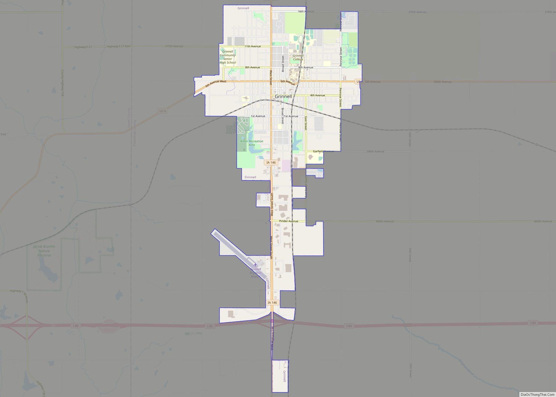
Grinnell (/ɡrɪˈnɛl/ GRIN-el) is a city in Poweshiek County, Iowa, United States. The population was 9,564 at the time of the 2020 census. It is best known for being the home of Grinnell College. Grinnell city overview: Name: Grinnell city LSAD Code: 25 LSAD Description: city (suffix) State: Iowa County: Poweshiek County Elevation: 1,014 ft (309 m) ... Read more
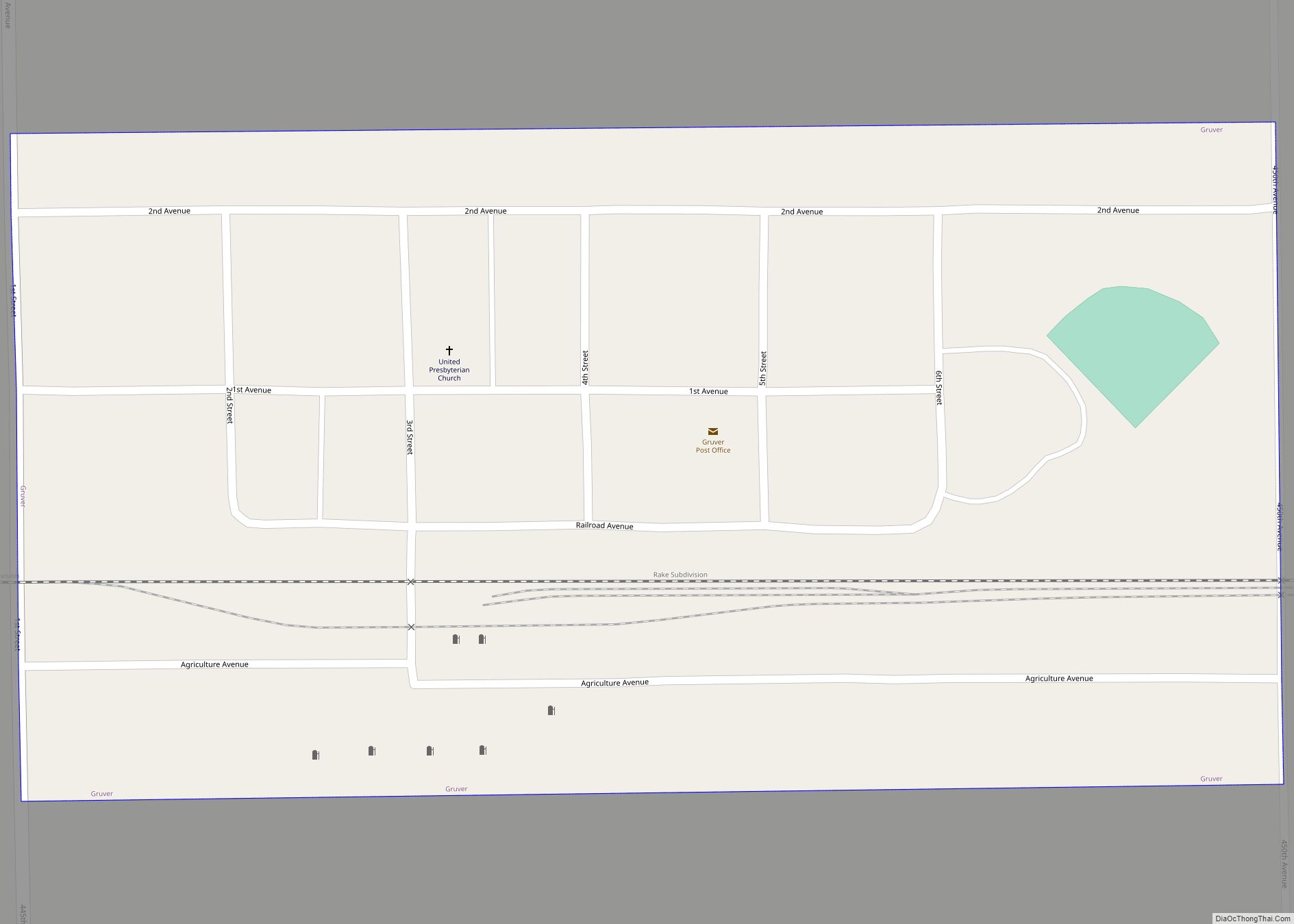
Gruver is a city in Emmet County, Iowa, United States. The population was 63 at the time of the 2020 census. Gruver city overview: Name: Gruver city LSAD Code: 25 LSAD Description: city (suffix) State: Iowa County: Emmet County Elevation: 1,302 ft (397 m) Total Area: 0.13 sq mi (0.33 km²) Land Area: 0.13 sq mi (0.33 km²) Water Area: 0.00 sq mi (0.00 km²) Total ... Read more
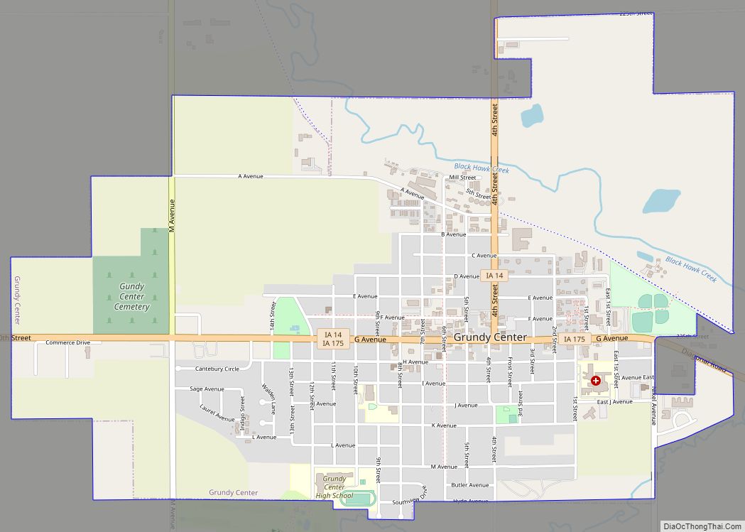
Grundy Center is a city in Grundy County, Iowa. The population was 2,796 at the time of the 2020 census, a 7.7% increase from 2,596 at the 2000 census. Grundy Center is also the county seat of Grundy County. Grundy Center is part of the Waterloo–Cedar Falls Metropolitan Statistical Area. Grundy Center city overview: Name: ... Read more
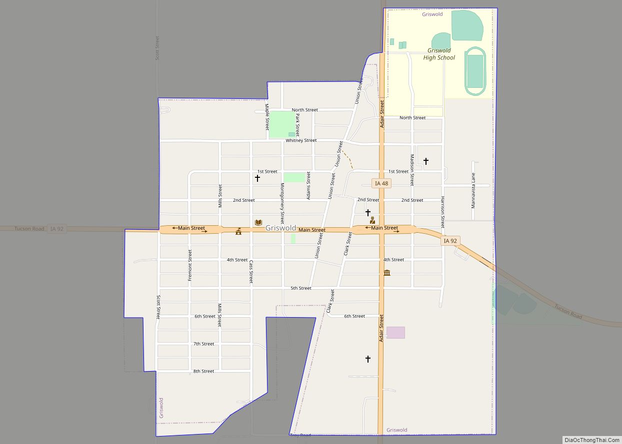
Griswold is a city in Cass County, Iowa, United States. The population was 994 at the time of the 2020 census. Griswold city overview: Name: Griswold city LSAD Code: 25 LSAD Description: city (suffix) State: Iowa County: Cass County Elevation: 1,102 ft (336 m) Total Area: 0.61 sq mi (1.58 km²) Land Area: 0.61 sq mi (1.58 km²) Water Area: 0.00 sq mi (0.00 km²) Total ... Read more
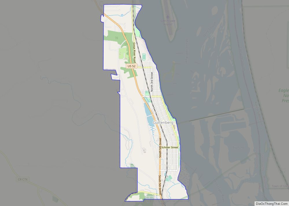
Guttenberg is a city in Clayton County, Iowa, United States, along the Mississippi River. The population was 1,817 at the time of the 2020 census, down from 1,987 at the 2000 census. Guttenberg city overview: Name: Guttenberg city LSAD Code: 25 LSAD Description: city (suffix) State: Iowa County: Clayton County Incorporated: 1851 Elevation: 625 ft (188 m) ... Read more
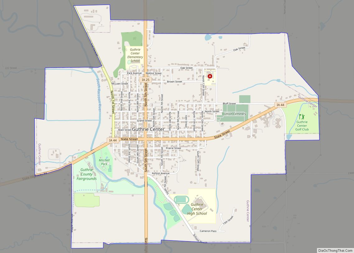
Guthrie Center is a city in Guthrie County, Iowa, United States, along the South Raccoon River. The population was 1,593 at the time of the 2020 census. It is the county seat of Guthrie County. Guthrie Center is part of the Des Moines–West Des Moines Metropolitan Statistical Area. Guthrie Center city overview: Name: Guthrie Center ... Read more
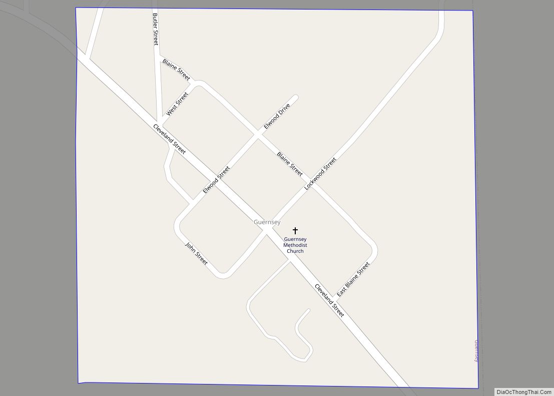
Guernsey is a town in Poweshiek County, Iowa, United States. The population was 63 at the time of the 2020 census. Guernsey city overview: Name: Guernsey city LSAD Code: 25 LSAD Description: city (suffix) State: Iowa County: Poweshiek County Elevation: 823 ft (251 m) Total Area: 0.56 sq mi (1.46 km²) Land Area: 0.56 sq mi (1.46 km²) Water Area: 0.00 sq mi (0.00 km²) Total ... Read more
Hamilton is a city in Marion County, Iowa, United States. The population was 119 at the time of the 2020 census. Hamilton city overview: Name: Hamilton city LSAD Code: 25 LSAD Description: city (suffix) State: Iowa County: Marion County Elevation: 899 ft (274 m) Total Area: 0.51 sq mi (1.31 km²) Land Area: 0.51 sq mi (1.31 km²) Water Area: 0.00 sq mi (0.00 km²) Total ... Read more
