Ida Grove is a city in Ida County, Iowa, United States. The population was 2,051 at the time of the 2020 census. It is the county seat of Ida County. Ida Grove city overview: Name: Ida Grove city LSAD Code: 25 LSAD Description: city (suffix) State: Iowa County: Ida County Elevation: 1,237 ft (377 m) Total Area: ... Read more
Iowa Cities and Places
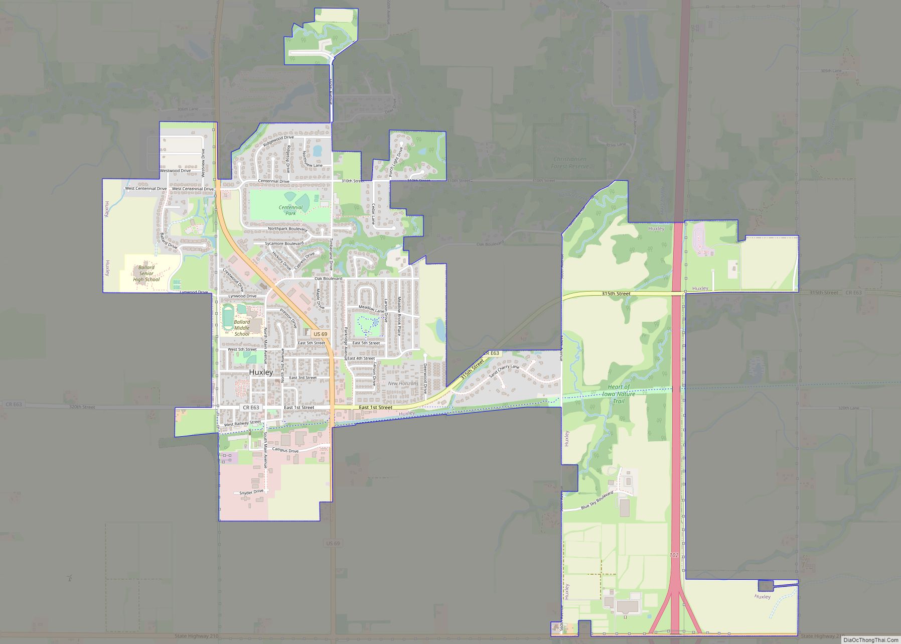
Huxley is a city in Story County, Iowa, United States. The population was 4,244 at the time of the 2020 census. It is part of the Ames, Iowa Metropolitan Statistical Area, which is a part of the larger Ames-Boone, Iowa Combined Statistical Area. Huxley city overview: Name: Huxley city LSAD Code: 25 LSAD Description: city ... Read more
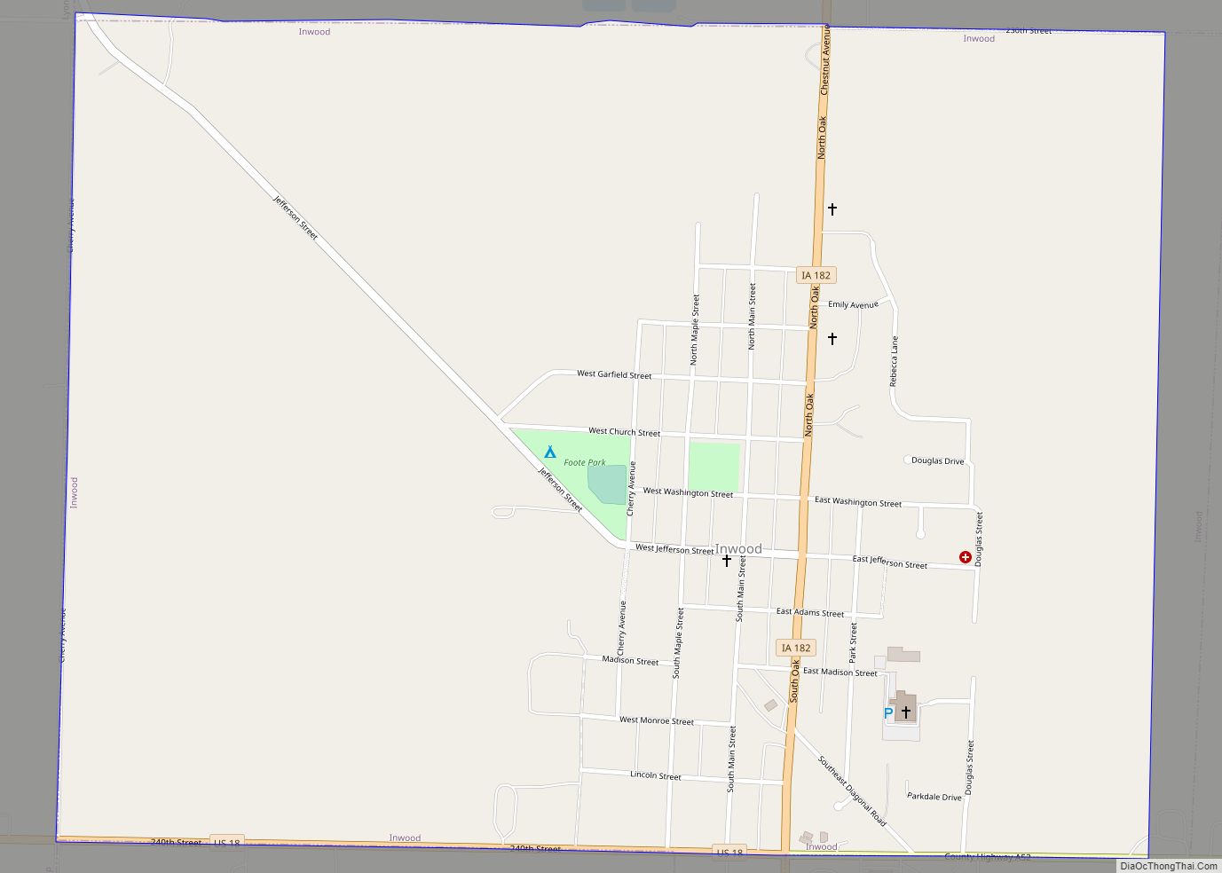
Inwood is a city in Lyon County, Iowa, United States. The population was 928 at the time of the 2020 census. Inwood city overview: Name: Inwood city LSAD Code: 25 LSAD Description: city (suffix) State: Iowa County: Lyon County Elevation: 1,467 ft (447 m) Total Area: 1.42 sq mi (3.67 km²) Land Area: 1.42 sq mi (3.67 km²) Water Area: 0.00 sq mi (0.00 km²) Total ... Read more
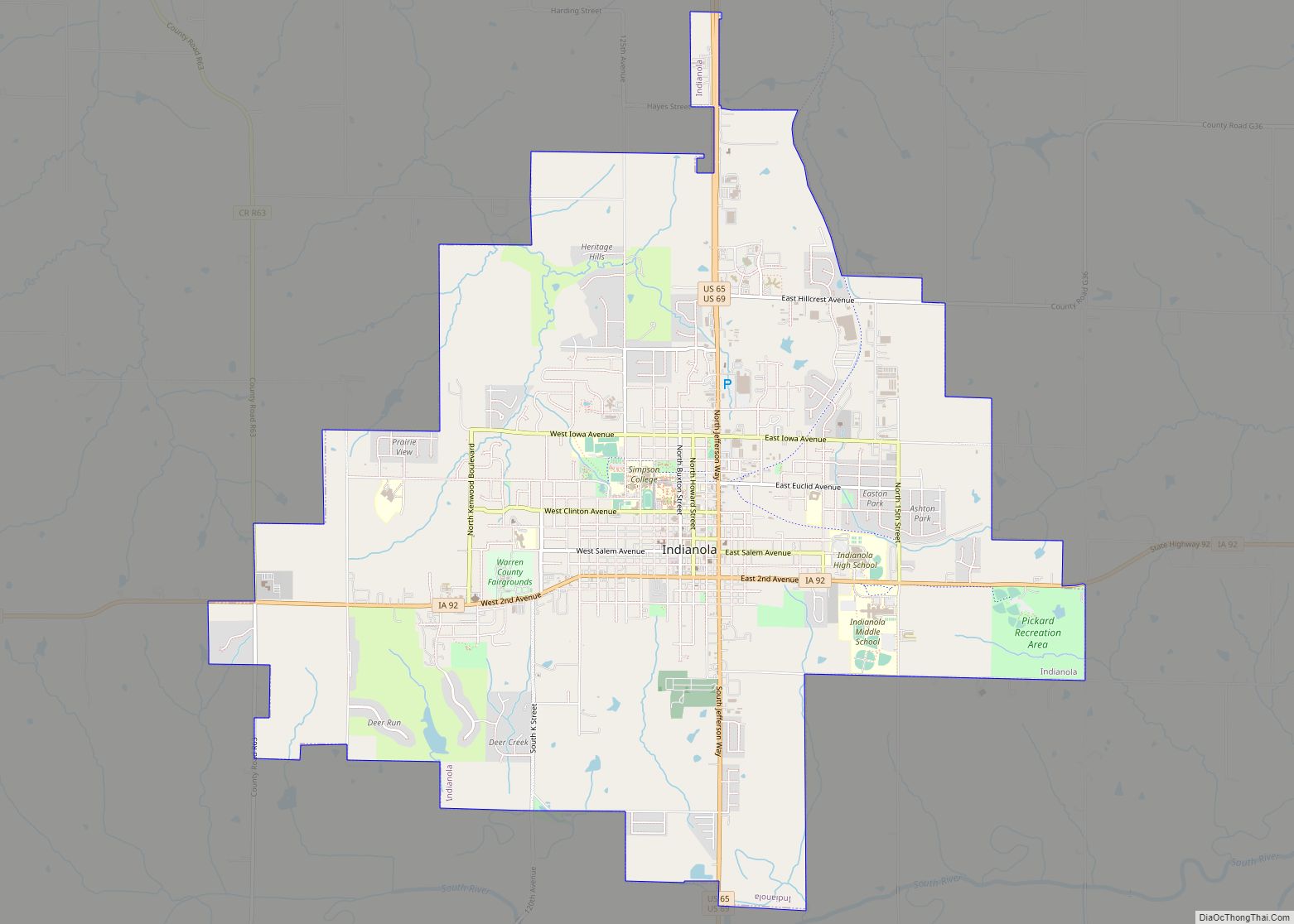
Indianola is a city in Warren County, Iowa, United States, located 14 miles (23 km) south of downtown Des Moines, Iowa. The population was 15,833 at the time of the 2020 census. It is the county seat of Warren County. Indianola is home to the National Balloon Classic, a nine-day hot air balloon festival held annually ... Read more
Independence is a city in, and the county seat of, Buchanan County, Iowa, United States. The population was 6,064 in the 2020 census, an increase from 6,014 in 2000. Independence city overview: Name: Independence city LSAD Code: 25 LSAD Description: city (suffix) State: Iowa County: Buchanan County Elevation: 935 ft (285 m) Total Area: 6.15 sq mi (15.93 km²) Land ... Read more
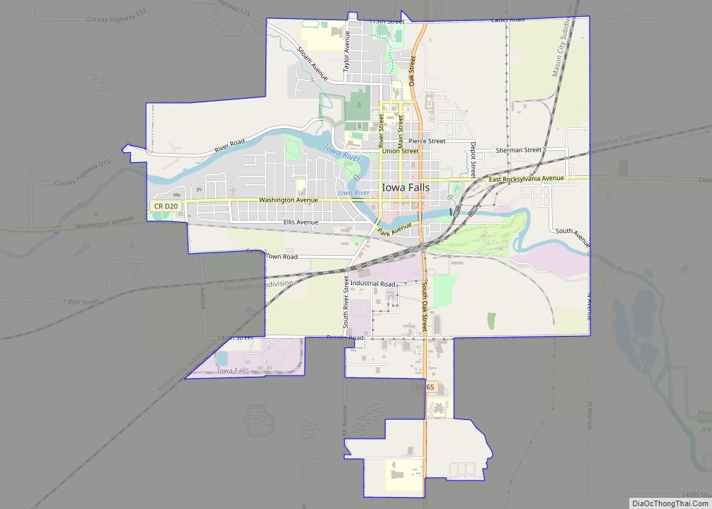
Iowa Falls is a city in Hardin County, Iowa, United States. Iowa Falls is the home of Ellsworth Community College. It is also a regional transportation center, located along U.S. Routes 20 and 65 and the Canadian National and Union Pacific Railroads. The population was 5,106 at the time of the 2020 census. A landmark ... Read more
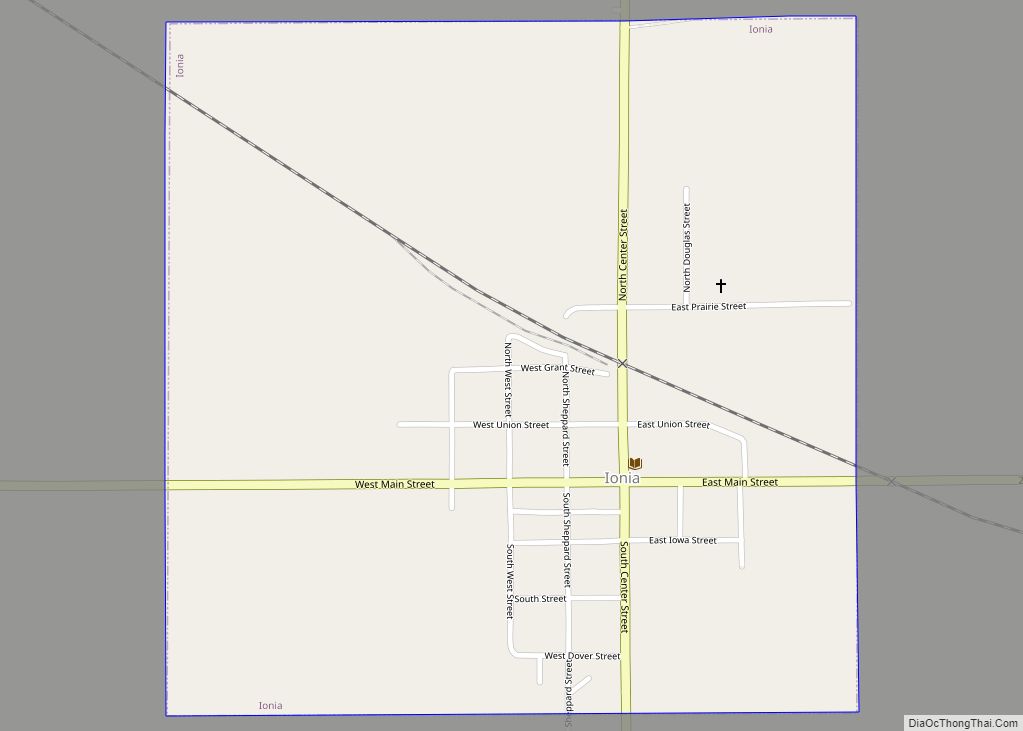
Ionia is a city in Chickasaw County, Iowa, United States. The population was 226 at the time of the 2020 census. Ionia city overview: Name: Ionia city LSAD Code: 25 LSAD Description: city (suffix) State: Iowa County: Chickasaw County Elevation: 1,148 ft (350 m) Total Area: 0.56 sq mi (1.46 km²) Land Area: 0.56 sq mi (1.46 km²) Water Area: 0.00 sq mi (0.00 km²) Total ... Read more
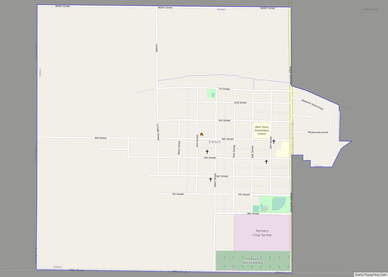
Ireton is a city in Sioux County, Iowa, United States. The population was 590 at the time of the 2020 census. Ireton city overview: Name: Ireton city LSAD Code: 25 LSAD Description: city (suffix) State: Iowa County: Sioux County Elevation: 1,424 ft (434 m) Total Area: 1.02 sq mi (2.64 km²) Land Area: 1.02 sq mi (2.64 km²) Water Area: 0.00 sq mi (0.00 km²) Total ... Read more
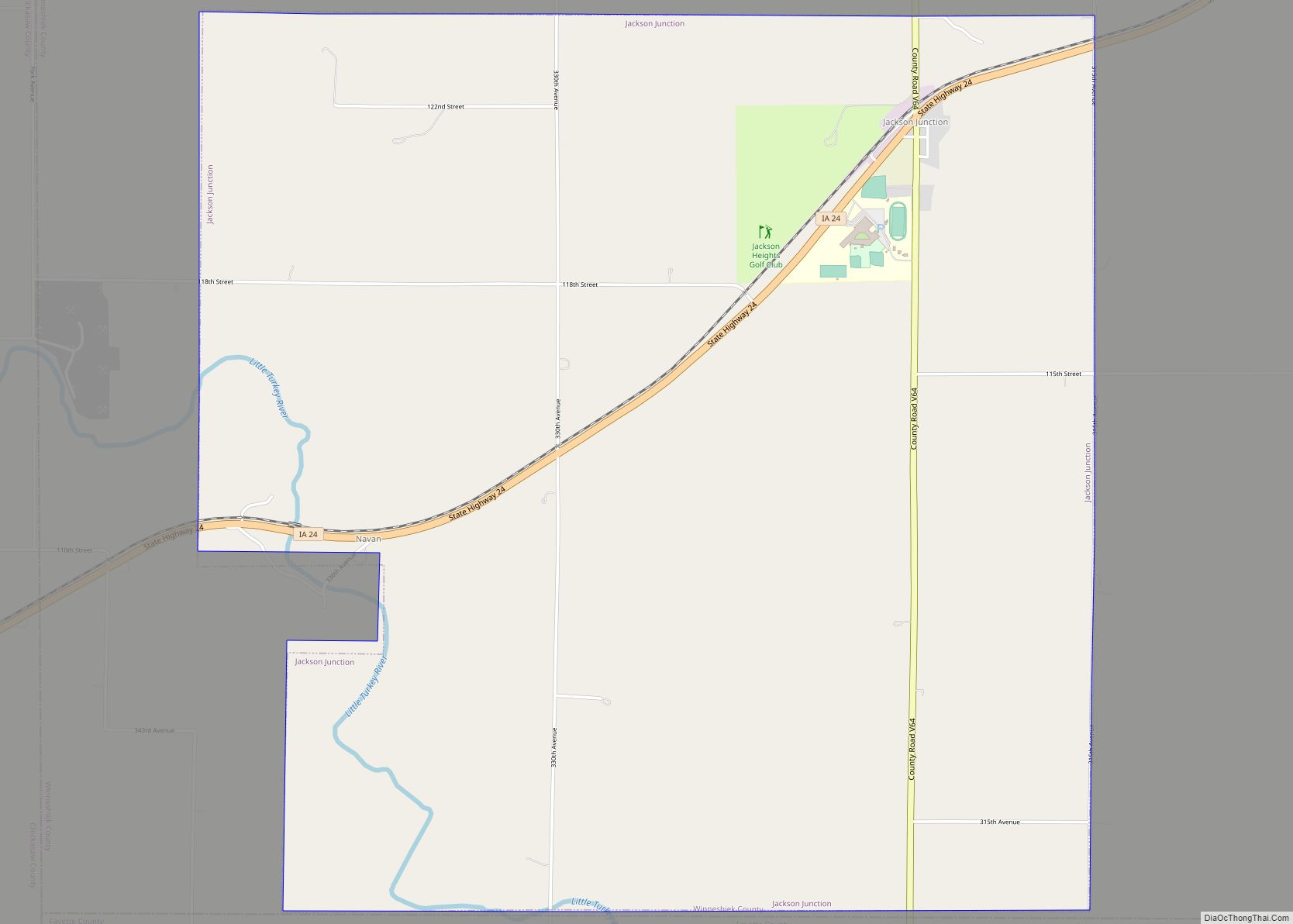
Jackson Junction is a city in Winneshiek County, Iowa, United States. The population was 37 at the time of the 2020 census. Jackson Junction city overview: Name: Jackson Junction city LSAD Code: 25 LSAD Description: city (suffix) State: Iowa County: Winneshiek County Elevation: 1,158 ft (353 m) Total Area: 5.96 sq mi (15.43 km²) Land Area: 5.96 sq mi (15.43 km²) Water Area: ... Read more
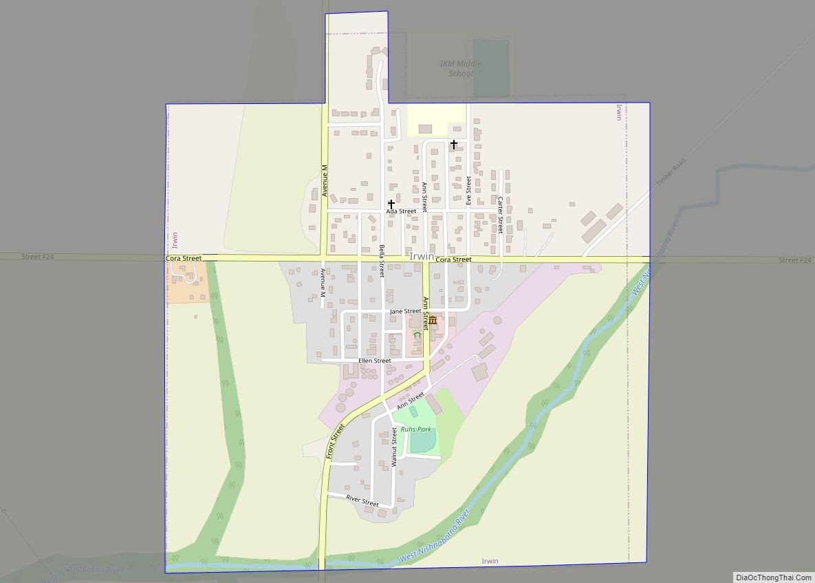
Irwin is a city in Shelby County, Iowa, United States, along the West Nishnabotna River. The population was 319 at the time of the 2020 census. Irwin city overview: Name: Irwin city LSAD Code: 25 LSAD Description: city (suffix) State: Iowa County: Shelby County Elevation: 1,289 ft (393 m) Total Area: 0.58 sq mi (1.52 km²) Land Area: 0.58 sq mi (1.52 km²) ... Read more
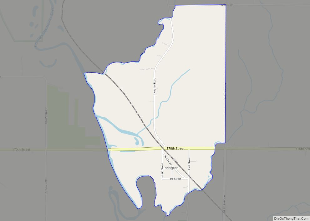
Irvington is an unincorporated community and census-designated place (CDP) in Irvington Township, Kossuth County, Iowa, United States. As of the 2010 census it had a population of 38. Irvington CDP overview: Name: Irvington CDP LSAD Code: 57 LSAD Description: CDP (suffix) State: Iowa County: Kossuth County Elevation: 1,152 ft (351 m) Total Area: 1.01 sq mi (2.62 km²) Land Area: ... Read more
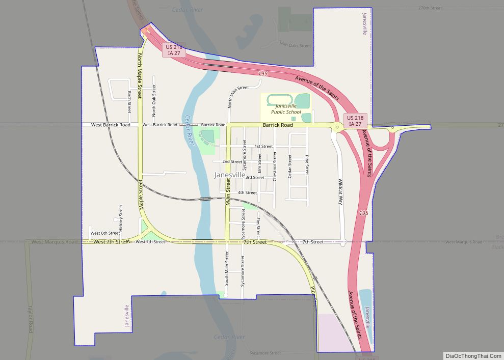
Janesville is a city in Black Hawk and Bremer counties in the U.S. state of Iowa. The population was 1034 at the 2020 census. It is part of the Waterloo–Cedar Falls Metropolitan Statistical Area. Janesville city overview: Name: Janesville city LSAD Code: 25 LSAD Description: city (suffix) State: Iowa County: Black Hawk County, Bremer County ... Read more

