Indianola is a city in Warren County, Iowa, United States, located 14 miles (23 km) south of downtown Des Moines, Iowa. The population was 15,833 at the time of the 2020 census. It is the county seat of Warren County. Indianola is home to the National Balloon Classic, a nine-day hot air balloon festival held annually in the summer, the Des Moines Metro Opera, a world renowned major American Summer Opera Festival, and Simpson College.
| Name: | Indianola city |
|---|---|
| LSAD Code: | 25 |
| LSAD Description: | city (suffix) |
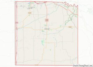
| State: | Iowa |
| County: | Warren County |
| Elevation: | 968 ft (295 m) |
| Total Area: | 11.44 sq mi (29.62 km²) |
| Land Area: | 11.44 sq mi (29.62 km²) |
| Water Area: | 0.00 sq mi (0.00 km²) |
| Total Population: | 15,833 |
| Population Density: | 1,384.61/sq mi (534.60/km²) |
| ZIP code: | 50125 |
| Area code: | 515 |
| FIPS code: | 1938280 |
| GNISfeature ID: | 0457810 |
| Website: | www.indianolaiowa.gov |
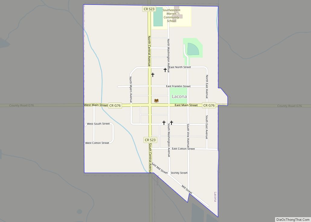
Online Interactive Map
Click on ![]() to view map in "full screen" mode.
to view map in "full screen" mode.
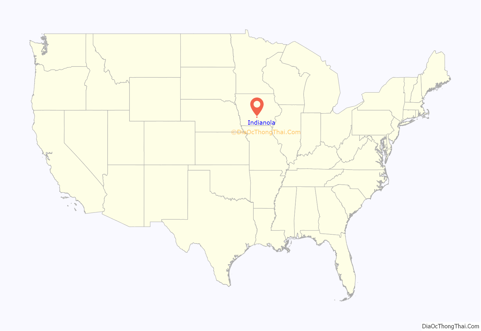
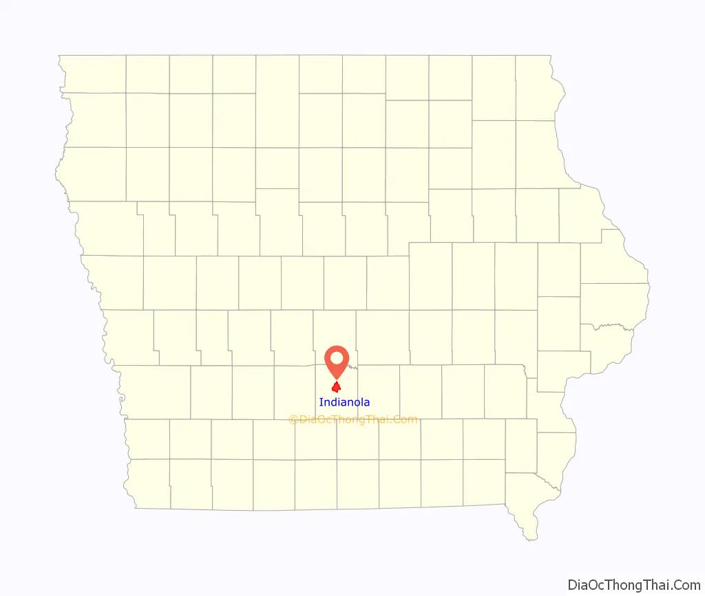
Indianola location map. Where is Indianola city?
History
Indianola was founded in 1849 as the county seat of Warren County. The town was located near the geographic center of the new county. The town’s name was taken from a newspaper account of a Texas ghost town of the same name.
Indianola was incorporated in 1863.
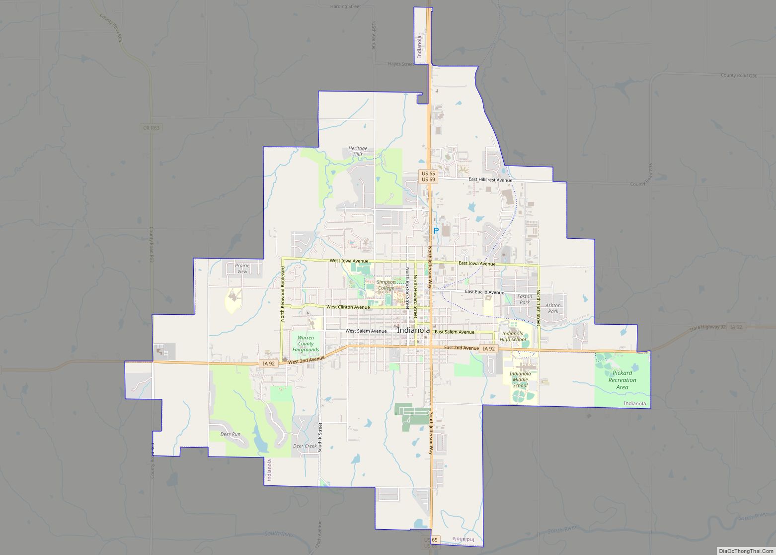
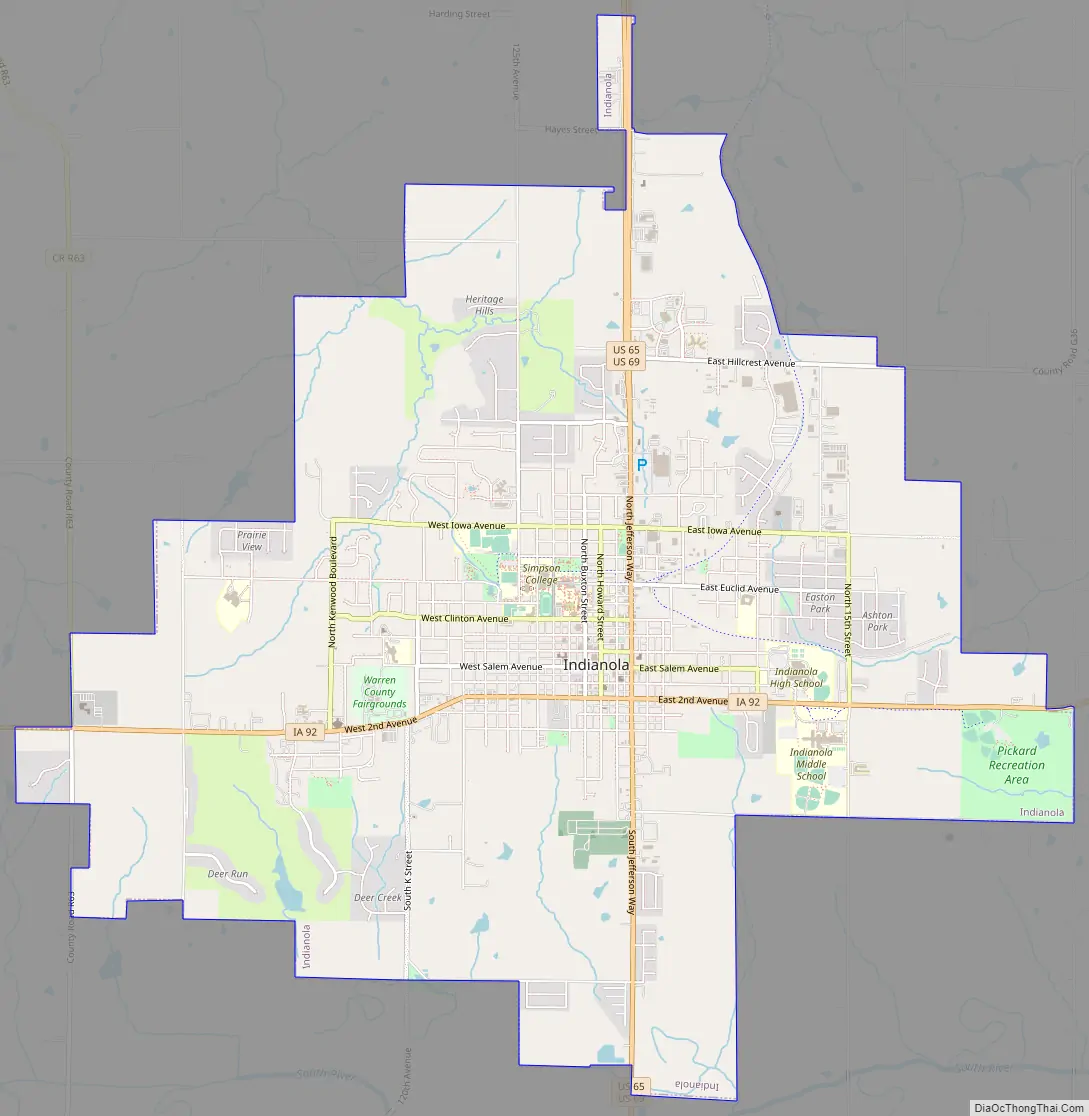
Indianola Road Map
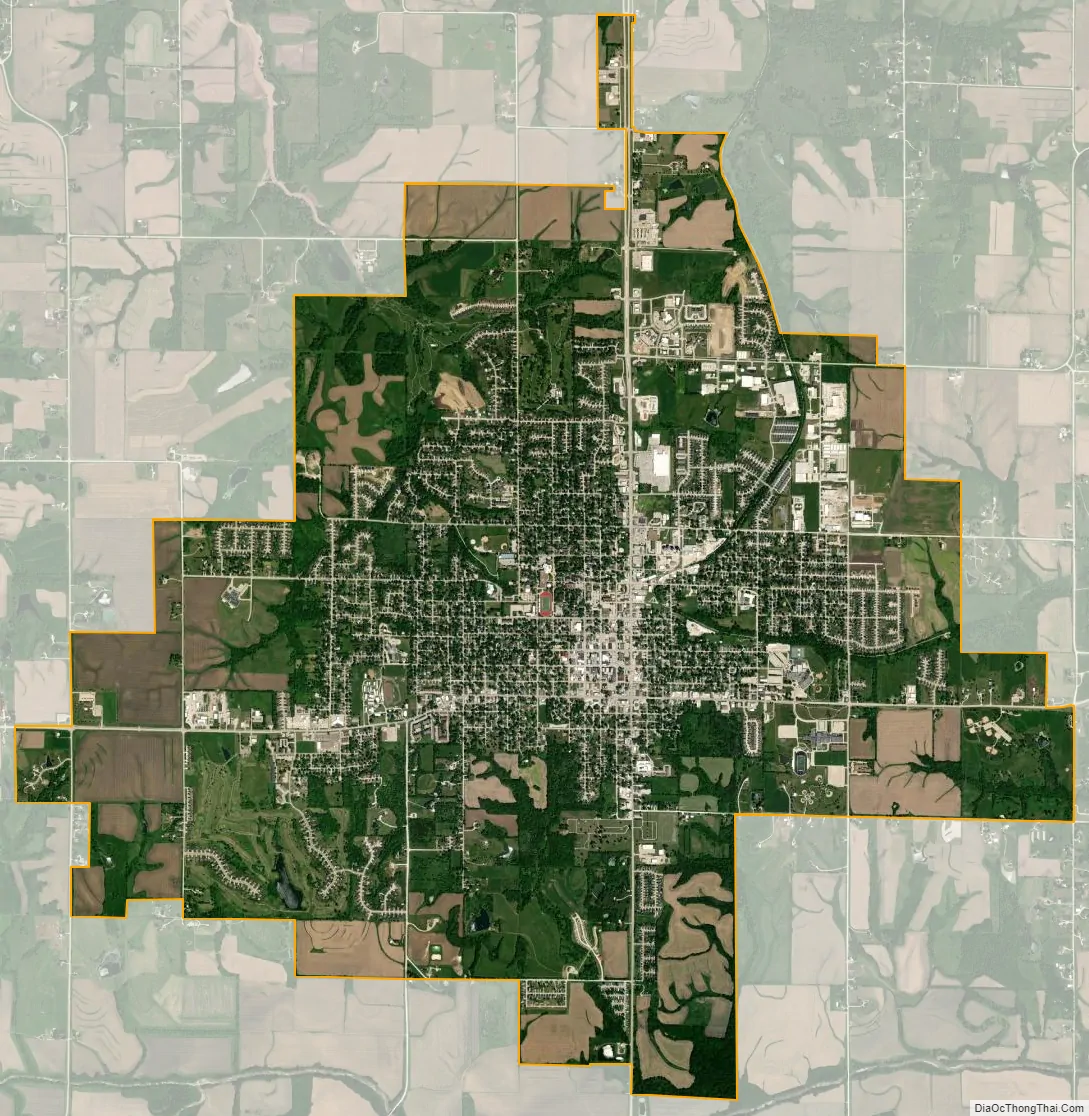
Indianola city Satellite Map
Geography
According to the United States Census Bureau, the city has a total area of 11.25 square miles (29.14 km), all of it land. The Summerset Trail’s southern terminus is in Indianola.
See also
Map of Iowa State and its subdivision:- Adair
- Adams
- Allamakee
- Appanoose
- Audubon
- Benton
- Black Hawk
- Boone
- Bremer
- Buchanan
- Buena Vista
- Butler
- Calhoun
- Carroll
- Cass
- Cedar
- Cerro Gordo
- Cherokee
- Chickasaw
- Clarke
- Clay
- Clayton
- Clinton
- Crawford
- Dallas
- Davis
- Decatur
- Delaware
- Des Moines
- Dickinson
- Dubuque
- Emmet
- Fayette
- Floyd
- Franklin
- Fremont
- Greene
- Grundy
- Guthrie
- Hamilton
- Hancock
- Hardin
- Harrison
- Henry
- Howard
- Humboldt
- Ida
- Iowa
- Jackson
- Jasper
- Jefferson
- Johnson
- Jones
- Keokuk
- Kossuth
- Lee
- Linn
- Louisa
- Lucas
- Lyon
- Madison
- Mahaska
- Marion
- Marshall
- Mills
- Mitchell
- Monona
- Monroe
- Montgomery
- Muscatine
- O'Brien
- Osceola
- Page
- Palo Alto
- Plymouth
- Pocahontas
- Polk
- Pottawattamie
- Poweshiek
- Ringgold
- Sac
- Scott
- Shelby
- Sioux
- Story
- Tama
- Taylor
- Union
- Van Buren
- Wapello
- Warren
- Washington
- Wayne
- Webster
- Winnebago
- Winneshiek
- Woodbury
- Worth
- Wright
- Alabama
- Alaska
- Arizona
- Arkansas
- California
- Colorado
- Connecticut
- Delaware
- District of Columbia
- Florida
- Georgia
- Hawaii
- Idaho
- Illinois
- Indiana
- Iowa
- Kansas
- Kentucky
- Louisiana
- Maine
- Maryland
- Massachusetts
- Michigan
- Minnesota
- Mississippi
- Missouri
- Montana
- Nebraska
- Nevada
- New Hampshire
- New Jersey
- New Mexico
- New York
- North Carolina
- North Dakota
- Ohio
- Oklahoma
- Oregon
- Pennsylvania
- Rhode Island
- South Carolina
- South Dakota
- Tennessee
- Texas
- Utah
- Vermont
- Virginia
- Washington
- West Virginia
- Wisconsin
- Wyoming