Ida Grove is a city in Ida County, Iowa, United States. The population was 2,051 at the time of the 2020 census. It is the county seat of Ida County.
| Name: | Ida Grove city |
|---|---|
| LSAD Code: | 25 |
| LSAD Description: | city (suffix) |
| State: | Iowa |
| County: | Ida County |
| Elevation: | 1,237 ft (377 m) |
| Total Area: | 2.20 sq mi (5.71 km²) |
| Land Area: | 2.20 sq mi (5.69 km²) |
| Water Area: | 0.01 sq mi (0.02 km²) |
| Total Population: | 2,051 |
| Population Density: | 933.97/sq mi (360.59/km²) |
| ZIP code: | 51445 |
| Area code: | 712 |
| FIPS code: | 1938010 |
| GNISfeature ID: | 0457744 |
| Website: | www.idagroveia.com |
Online Interactive Map
Click on ![]() to view map in "full screen" mode.
to view map in "full screen" mode.
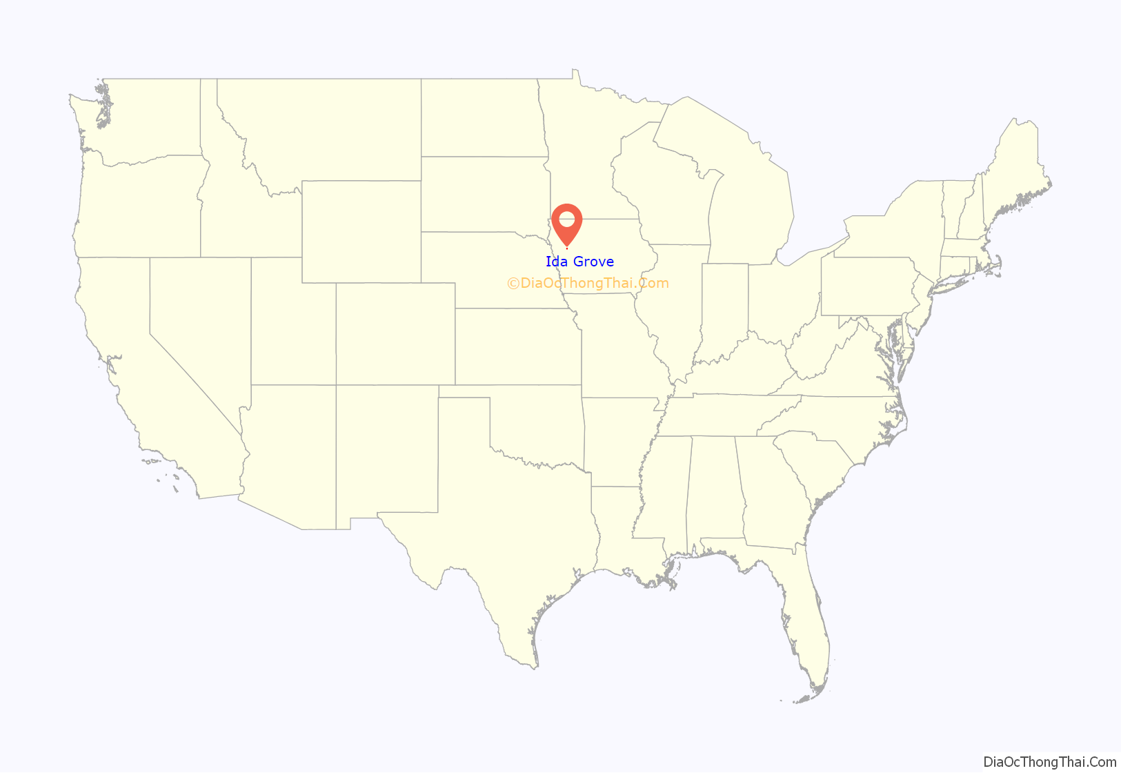
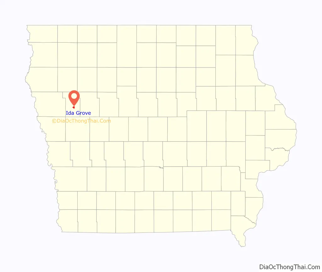
Ida Grove location map. Where is Ida Grove city?
History
Founded in 1871, the town now known as “Old Ida Grove” was located on the north side of the river. However, when the railroad was built through the neighborhood in 1877 on the south side, Ida Grove was relocated there.
Ida Grove was incorporated on May 31, 1878, and was named for the county, which was named for Mount Ida, Greece.
The Ida Grove post office contains an oil on linen mural, Preparation for the First County Fair in Ida Grove–1872, painted by Andrene Kauffman in 1940. Federally commissioned murals were produced from 1934 to 1943 in the United States through the Section of Fine Arts, of the Treasury Department.
Ida Grove Road Map
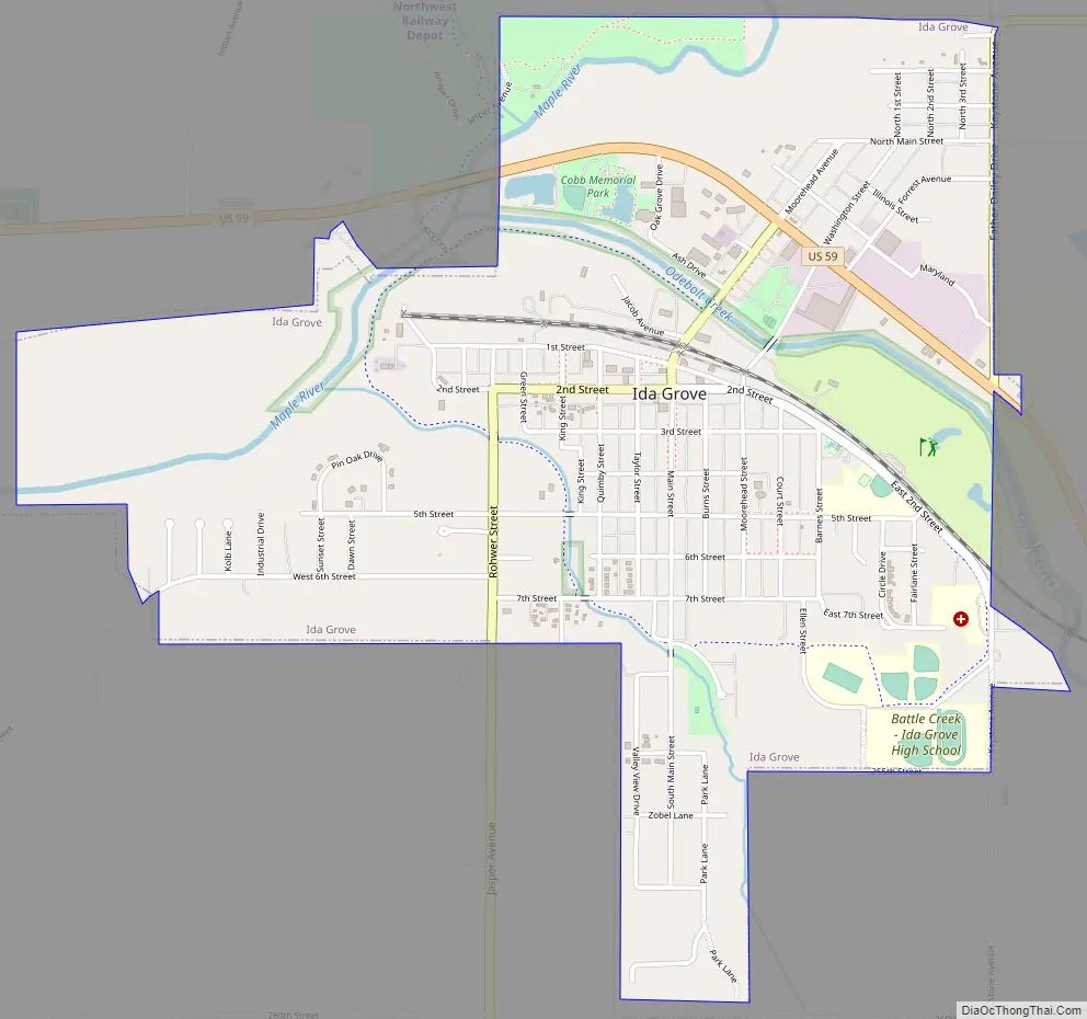
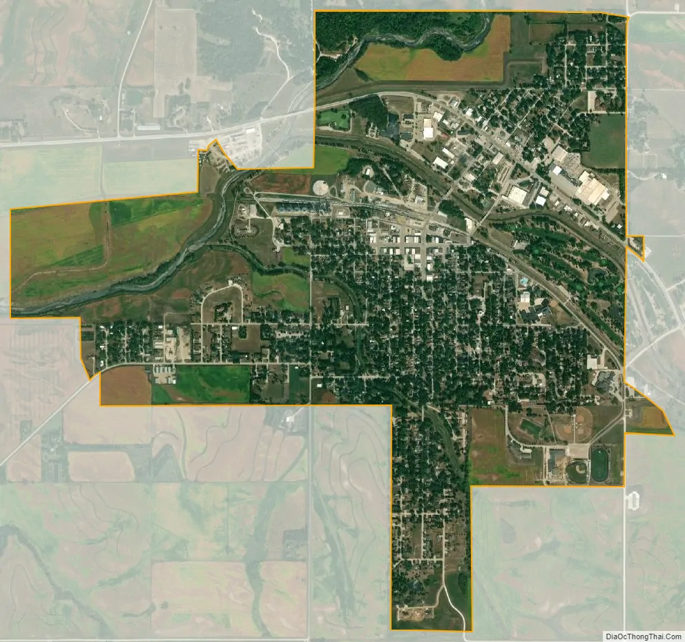
Ida Grove city Satellite Map
Geography
Ida Grove is located on US Route 59 and Iowa Highway 175 at the confluence of Odebolt Creek with Maple River. The Moorehead Pioneer Park and reservoir are located across the Maple River north of the city.
According to the United States Census Bureau, the city has a total area of 2.11 square miles (5.46 km), of which 2.10 square miles (5.44 km) is land and 0.01 square miles (0.03 km) is water.
See also
Map of Iowa State and its subdivision:- Adair
- Adams
- Allamakee
- Appanoose
- Audubon
- Benton
- Black Hawk
- Boone
- Bremer
- Buchanan
- Buena Vista
- Butler
- Calhoun
- Carroll
- Cass
- Cedar
- Cerro Gordo
- Cherokee
- Chickasaw
- Clarke
- Clay
- Clayton
- Clinton
- Crawford
- Dallas
- Davis
- Decatur
- Delaware
- Des Moines
- Dickinson
- Dubuque
- Emmet
- Fayette
- Floyd
- Franklin
- Fremont
- Greene
- Grundy
- Guthrie
- Hamilton
- Hancock
- Hardin
- Harrison
- Henry
- Howard
- Humboldt
- Ida
- Iowa
- Jackson
- Jasper
- Jefferson
- Johnson
- Jones
- Keokuk
- Kossuth
- Lee
- Linn
- Louisa
- Lucas
- Lyon
- Madison
- Mahaska
- Marion
- Marshall
- Mills
- Mitchell
- Monona
- Monroe
- Montgomery
- Muscatine
- O'Brien
- Osceola
- Page
- Palo Alto
- Plymouth
- Pocahontas
- Polk
- Pottawattamie
- Poweshiek
- Ringgold
- Sac
- Scott
- Shelby
- Sioux
- Story
- Tama
- Taylor
- Union
- Van Buren
- Wapello
- Warren
- Washington
- Wayne
- Webster
- Winnebago
- Winneshiek
- Woodbury
- Worth
- Wright
- Alabama
- Alaska
- Arizona
- Arkansas
- California
- Colorado
- Connecticut
- Delaware
- District of Columbia
- Florida
- Georgia
- Hawaii
- Idaho
- Illinois
- Indiana
- Iowa
- Kansas
- Kentucky
- Louisiana
- Maine
- Maryland
- Massachusetts
- Michigan
- Minnesota
- Mississippi
- Missouri
- Montana
- Nebraska
- Nevada
- New Hampshire
- New Jersey
- New Mexico
- New York
- North Carolina
- North Dakota
- Ohio
- Oklahoma
- Oregon
- Pennsylvania
- Rhode Island
- South Carolina
- South Dakota
- Tennessee
- Texas
- Utah
- Vermont
- Virginia
- Washington
- West Virginia
- Wisconsin
- Wyoming