Iowa Falls is a city in Hardin County, Iowa, United States. Iowa Falls is the home of Ellsworth Community College. It is also a regional transportation center, located along U.S. Routes 20 and 65 and the Canadian National and Union Pacific Railroads. The population was 5,106 at the time of the 2020 census. A landmark in the city is its movie theater. Built as the Metropolitan Opera House in 1899, it presented plays, operas, and vaudeville in the town during the first half of the twentieth century, and today is listed on the National Register of Historic Places.
| Name: | Iowa Falls city |
|---|---|
| LSAD Code: | 25 |
| LSAD Description: | city (suffix) |
| State: | Iowa |
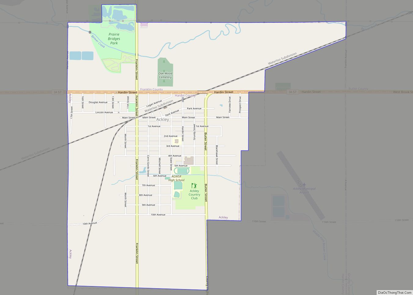
| County: | Hardin County |
| Elevation: | 1,106 ft (337 m) |
| Total Area: | 5.46 sq mi (14.15 km²) |
| Land Area: | 5.39 sq mi (13.95 km²) |
| Water Area: | 0.08 sq mi (0.20 km²) |
| Total Population: | 5,106 |
| Population Density: | 948.01/sq mi (366.06/km²) |
| ZIP code: | 50126 |
| Area code: | 641 |
| FIPS code: | 1938640 |
| GNISfeature ID: | 0457829 |
| Website: | www.cityofiowafalls.com |
Online Interactive Map
Click on ![]() to view map in "full screen" mode.
to view map in "full screen" mode.
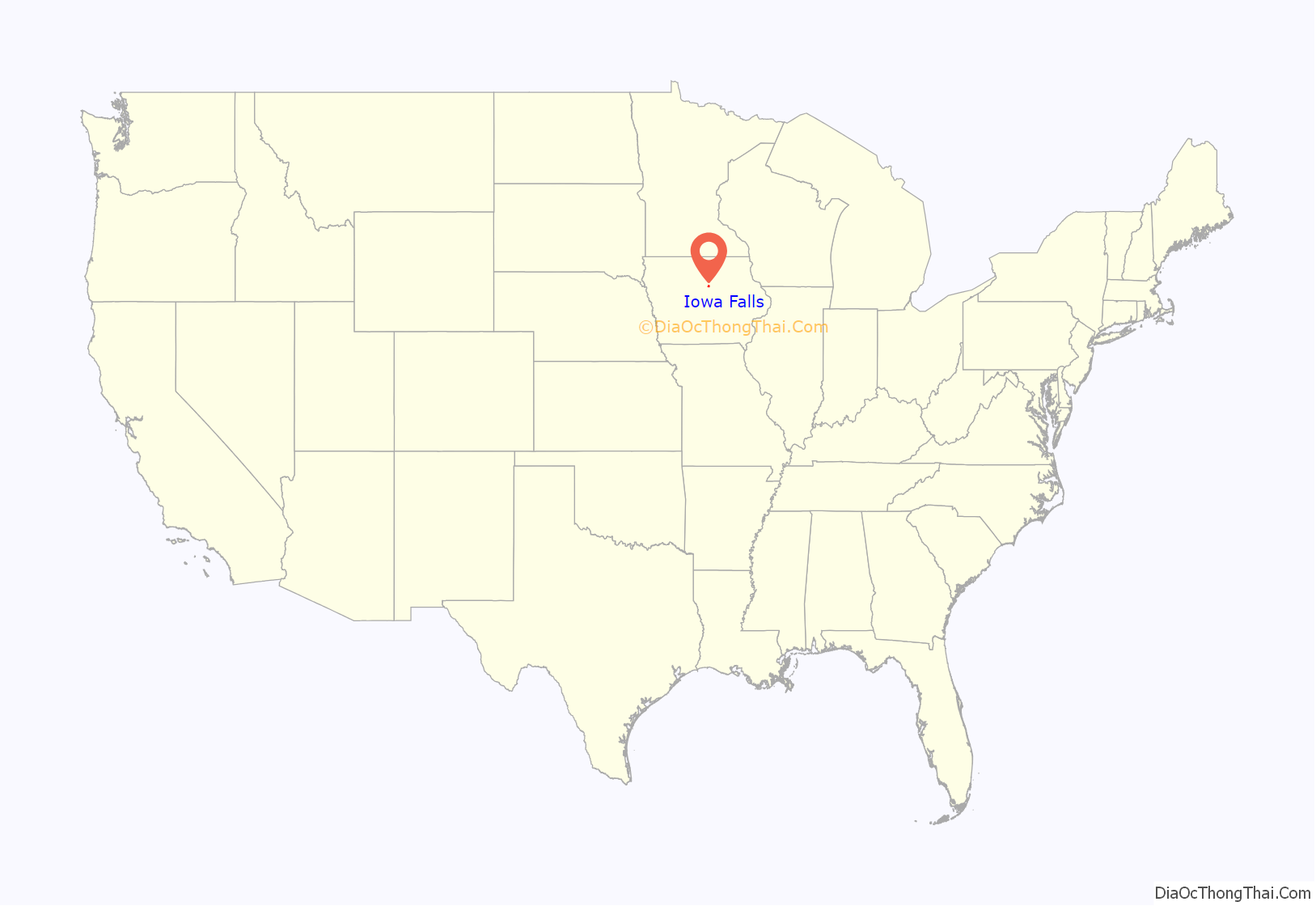
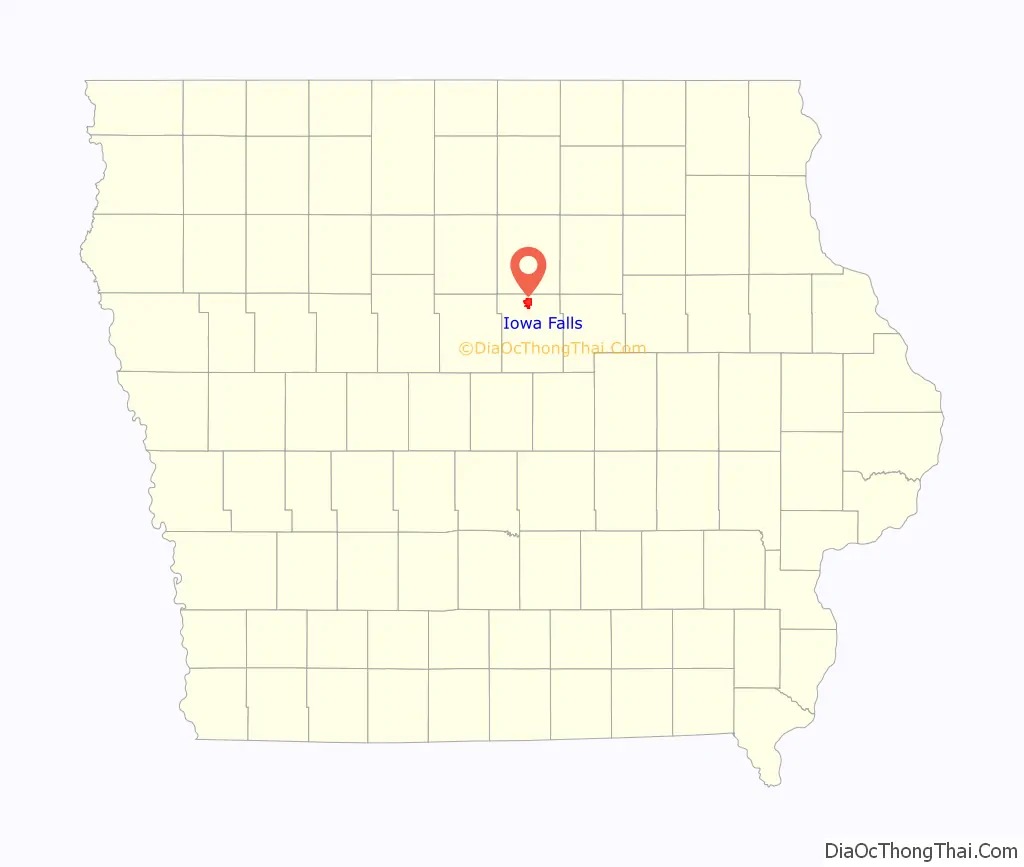
Iowa Falls location map. Where is Iowa Falls city?
History
Iowa Falls was laid out and platted in 1856. It was named from the falls on the Iowa River.
The Illinois Central Railroad was built through Iowa Falls in 1866.
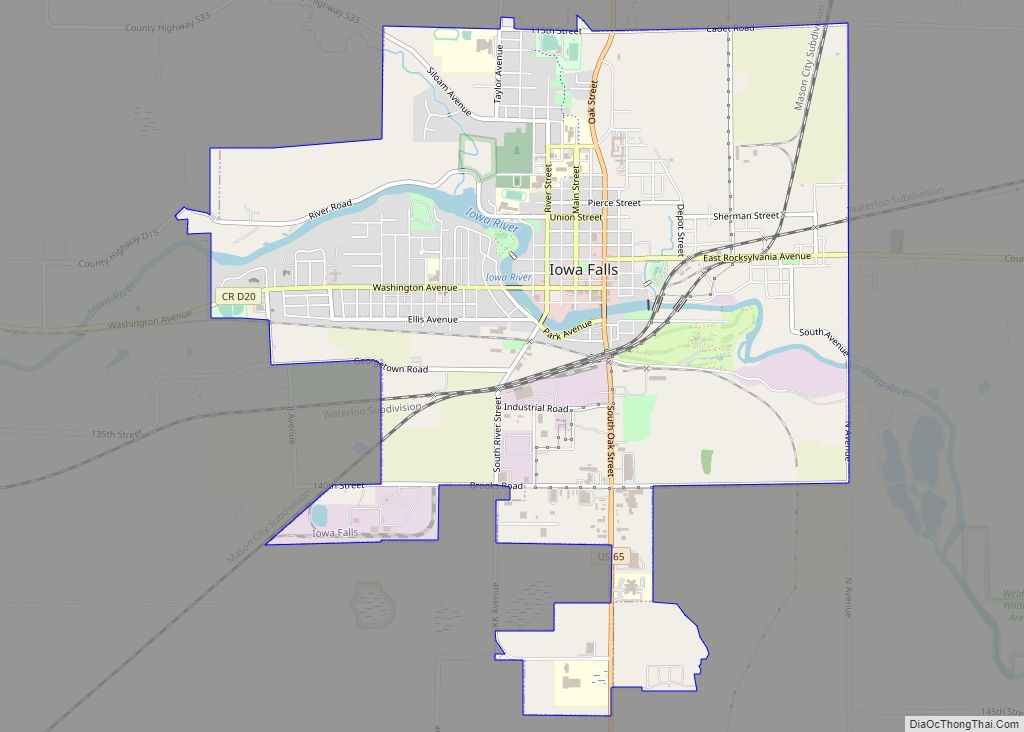
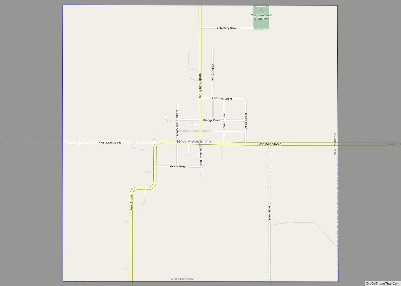
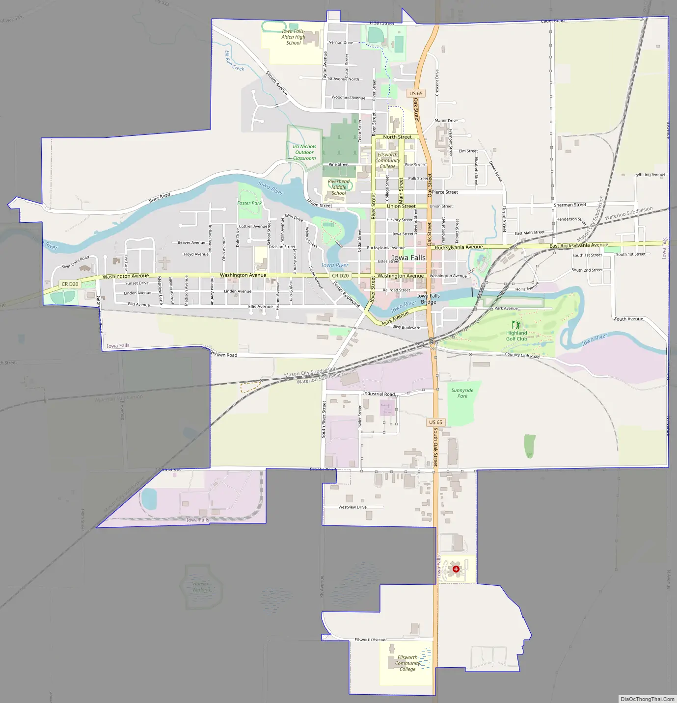
Iowa Falls Road Map
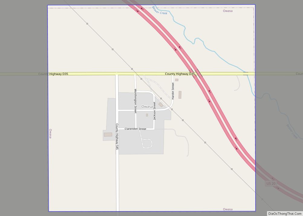
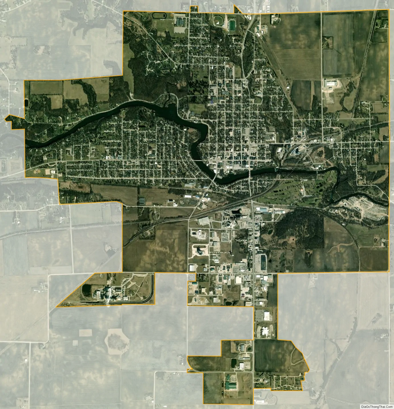
Iowa Falls city Satellite Map
Geography
Iowa Falls is located at 42°31′N 93°16′W / 42.517°N 93.267°W / 42.517; -93.267 (42.5221, -93.2673).
According to the United States Census Bureau, the city has a total area of 5.44 square miles (14.09 km), of which 5.36 square miles (13.88 km) is land and 0.08 square miles (0.21 km) is water.
Iowa Falls is located at the point where the Iowa River flows through a limestone gorge 70 feet (21.34 m) deep between bluffs that rise another 50 feet (15.24 m). The falls themselves were also known as the “rapids of the Iowa.” The falls are now submerged by a dam built in 1926 that is 26 feet (7.92 m) feet high and 200 feet long and serves a hydroelectric power station that currently generates 1.5MW.
See also
Map of Iowa State and its subdivision:- Adair
- Adams
- Allamakee
- Appanoose
- Audubon
- Benton
- Black Hawk
- Boone
- Bremer
- Buchanan
- Buena Vista
- Butler
- Calhoun
- Carroll
- Cass
- Cedar
- Cerro Gordo
- Cherokee
- Chickasaw
- Clarke
- Clay
- Clayton
- Clinton
- Crawford
- Dallas
- Davis
- Decatur
- Delaware
- Des Moines
- Dickinson
- Dubuque
- Emmet
- Fayette
- Floyd
- Franklin
- Fremont
- Greene
- Grundy
- Guthrie
- Hamilton
- Hancock
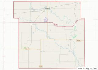
- Hardin
- Harrison
- Henry
- Howard
- Humboldt
- Ida
- Iowa
- Jackson
- Jasper
- Jefferson
- Johnson
- Jones
- Keokuk
- Kossuth
- Lee
- Linn
- Louisa
- Lucas
- Lyon
- Madison
- Mahaska
- Marion
- Marshall
- Mills
- Mitchell
- Monona
- Monroe
- Montgomery
- Muscatine
- O'Brien
- Osceola
- Page
- Palo Alto
- Plymouth
- Pocahontas
- Polk
- Pottawattamie
- Poweshiek
- Ringgold
- Sac
- Scott
- Shelby
- Sioux
- Story
- Tama
- Taylor
- Union
- Van Buren
- Wapello
- Warren
- Washington
- Wayne
- Webster
- Winnebago
- Winneshiek
- Woodbury
- Worth
- Wright
- Alabama
- Alaska
- Arizona
- Arkansas
- California
- Colorado
- Connecticut
- Delaware
- District of Columbia
- Florida
- Georgia
- Hawaii
- Idaho
- Illinois
- Indiana
- Iowa
- Kansas
- Kentucky
- Louisiana
- Maine
- Maryland
- Massachusetts
- Michigan
- Minnesota
- Mississippi
- Missouri
- Montana
- Nebraska
- Nevada
- New Hampshire
- New Jersey
- New Mexico
- New York
- North Carolina
- North Dakota
- Ohio
- Oklahoma
- Oregon
- Pennsylvania
- Rhode Island
- South Carolina
- South Dakota
- Tennessee
- Texas
- Utah
- Vermont
- Virginia
- Washington
- West Virginia
- Wisconsin
- Wyoming