Map of Elsmore city

Map of Elsmore city

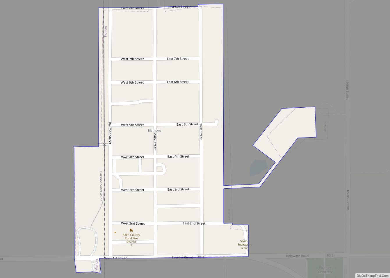
Elsmore is a city in Allen County, Kansas, United States. As of the 2020 census, the population of the city was 50. The name Elsmore is a corruption of Elsinore, where Shakespeare’s play Hamlet was set. Elsmore city overview: Name: Elsmore city LSAD Code: 25 LSAD Description: city (suffix) State: Kansas County: Allen County Founded: … Read more

Map of Elmdale city

Map of Elmdale city, Kansas

Elmdale is a city in Chase County, Kansas, United States. As of the 2020 census, the population of the city was 40. It is located along U.S. Route 50 highway. Elmdale city overview: Name: Elmdale city LSAD Code: 25 LSAD Description: city (suffix) State: Kansas County: Chase County Incorporated: 1899 Elevation: 1,201 ft (366 m) Total Area: … Read more

Map of Ellsworth city, Kansas

Map of Ellsworth city, Kansas

Ellsworth is a city in and the county seat of Ellsworth County, Kansas, United States. As of the 2020 census, the population of the city was 3,066. Known as a cow town in the 1870s, when the Kansas Pacific Railroad operated a stockyard here for shipping cattle to eastern markets, in the 21st century, it … Read more

Map of Emporia city

Map of Emporia city, Kansas

Emporia is a city in and the county seat of Lyon County, Kansas, United States. As of the 2020 census, the population of the city was 24,139. Emporia lies between Topeka and Wichita at the intersection of U.S. Route 50 with Interstates 335 and 35 on the Kansas Turnpike. Emporia is also a college town, … Read more

Map of Emmett city, Kansas

Map of Emmett city, Kansas

Emmett is a city in Pottawatomie County, Kansas, United States. As of the 2020 census, the population of the city was 170. Emmett city overview: Name: Emmett city LSAD Code: 25 LSAD Description: city (suffix) State: Kansas County: Pottawatomie County Incorporated: 1920 Elevation: 1,024 ft (312 m) Total Area: 0.20 sq mi (0.51 km²) Land Area: 0.20 sq mi (0.51 km²) Water Area: … Read more

Map of Elwood city, Kansas

Map of Elwood city, Kansas

Elwood is a city in Doniphan County, Kansas, United States, located west across the Missouri River from Saint Joseph, Missouri. As of the 2020 census, the population of the city was 1,125. Elwood city overview: Name: Elwood city LSAD Code: 25 LSAD Description: city (suffix) State: Kansas County: Doniphan County Founded: 1856 Incorporated: 1860 Elevation: … Read more

Map of Ensign city

Map of Ensign city

Ensign is a city in Gray County, Kansas, United States. As of the 2020 census, the population of the city was 166. Ensign city overview: Name: Ensign city LSAD Code: 25 LSAD Description: city (suffix) State: Kansas County: Gray County Founded: 1880s Incorporated: 1929 Elevation: 2,720 ft (830 m) Total Area: 0.29 sq mi (0.75 km²) Land Area: 0.29 sq mi (0.75 km²) … Read more

Map of Englewood city, Kansas

Map of Englewood city, Kansas

Englewood is a city in Clark County, Kansas, United States. As of the 2020 census, the population of the city was 58. Englewood city overview: Name: Englewood city LSAD Code: 25 LSAD Description: city (suffix) State: Kansas County: Clark County Founded: 1884 Incorporated: 1885 Elevation: 1,969 ft (600 m) Total Area: 1.13 sq mi (2.92 km²) Land Area: 1.13 sq mi (2.92 km²) … Read more

Map of Enterprise city, Kansas

Map of Enterprise city, Kansas

Enterprise is a city in Dickinson County, Kansas, United States. As of the 2020 census, the population of the city was 708. Enterprise city overview: Name: Enterprise city LSAD Code: 25 LSAD Description: city (suffix) State: Kansas County: Dickinson County Founded: 1868 Elevation: 1,158 ft (353 m) Total Area: 0.68 sq mi (1.77 km²) Land Area: 0.67 sq mi (1.74 km²) Water Area: … Read more

Map of Eskridge city

Map of Eskridge city

Eskridge is a city in Wabaunsee County, Kansas, United States. As of the 2020 census, the population of the city was 439. Eskridge city overview: Name: Eskridge city LSAD Code: 25 LSAD Description: city (suffix) State: Kansas County: Wabaunsee County Incorporated: 1887 Elevation: 1,421 ft (433 m) Total Area: 0.52 sq mi (1.34 km²) Land Area: 0.52 sq mi (1.34 km²) Water Area: … Read more

Map of Esbon city

Map of Esbon city

Esbon is a city in Jewell County, Kansas, United States. As of the 2020 census, the population of the city was 69. Esbon city overview: Name: Esbon city LSAD Code: 25 LSAD Description: city (suffix) State: Kansas County: Jewell County Founded: 1870s Incorporated: 1904 Elevation: 1,844 ft (562 m) Total Area: 0.28 sq mi (0.73 km²) Land Area: 0.28 sq mi (0.73 km²) … Read more

Map of Erie city, Kansas

Map of Erie city, Kansas

Erie is a city in and the county seat of Neosho County, Kansas, United States, and situated in the valley of the Neosho River, about a mile Northeast of the river. As of the 2020 census, the population of the city was 1,047. Erie city overview: Name: Erie city LSAD Code: 25 LSAD Description: city … Read more