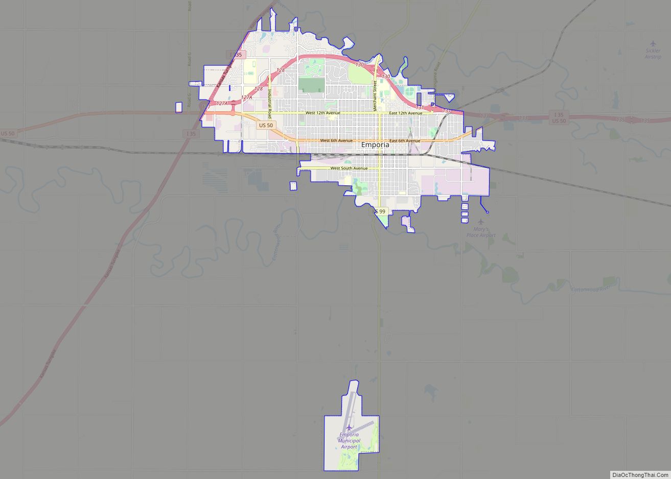
Emporia is a city in and the county seat of Lyon County, Kansas, United States. As of the 2020 census, the population of the city was 24,139. Emporia lies between Topeka and Wichita at the intersection of U.S. Route 50 with Interstates 335 and 35 on the Kansas Turnpike. Emporia is also a college town, home to Emporia State University and Flint Hills Technical College. It is home of two annual sporting events: Unbound Gravel (gravel bicycle races) and Dynamic Discs Open (disc golf tournaments).
| Name: | Emporia city |
|---|---|
| LSAD Code: | 25 |
| LSAD Description: | city (suffix) |
| State: | Kansas |
| County: | Lyon County |
| Founded: | 1857 |
| Incorporated: | 1870 |
| Elevation: | 1,148 ft (350 m) |
| Total Area: | 12.11 sq mi (31.37 km²) |
| Land Area: | 12.00 sq mi (31.07 km²) |
| Water Area: | 0.11 sq mi (0.30 km²) 0.6% |
| Total Population: | 24,139 |
| Population Density: | 2,000/sq mi (770/km²) |
| ZIP code: | 66801 |
| Area code: | 620 |
| FIPS code: | 2021275 |
| Website: | emporiaks.gov |
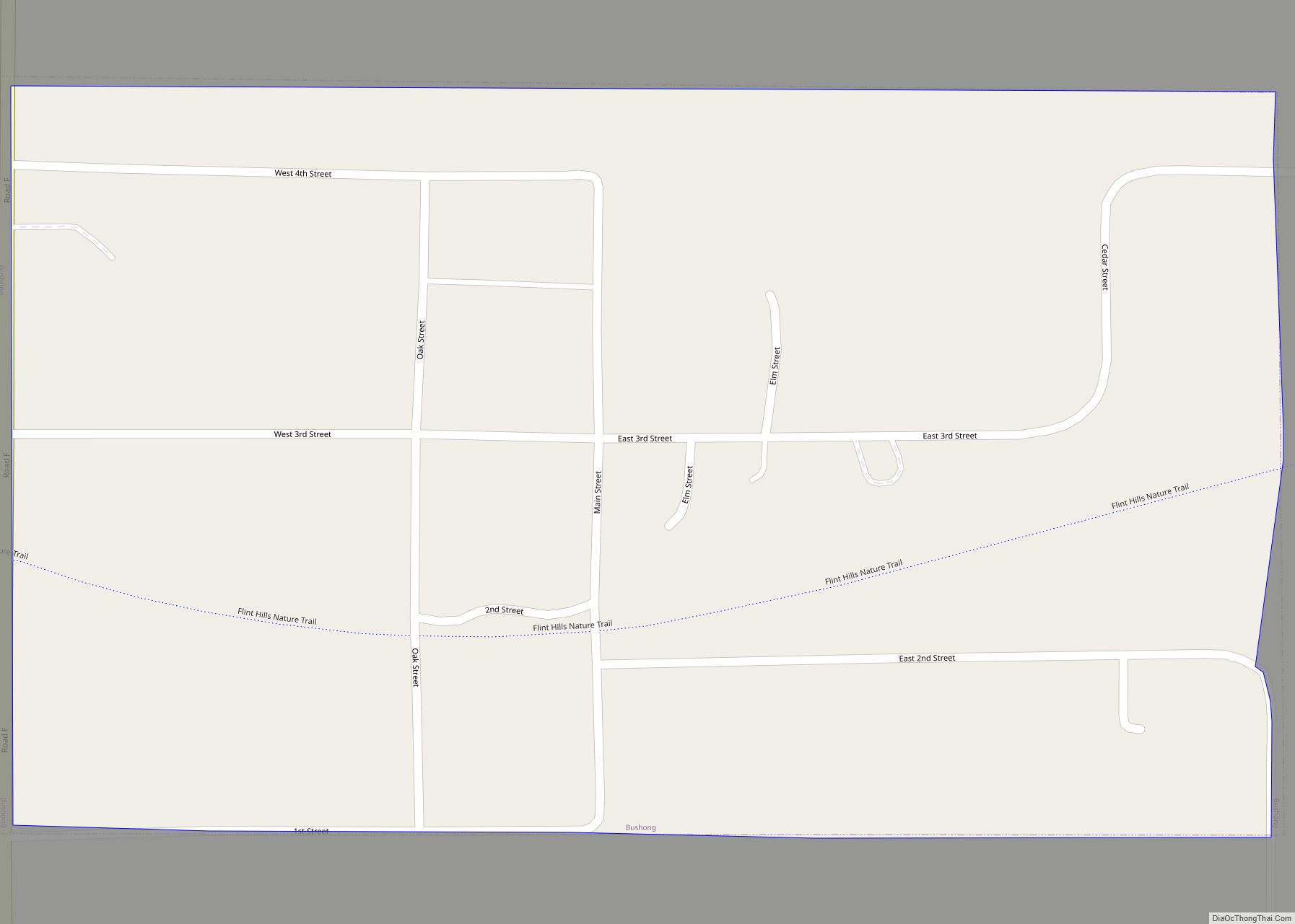
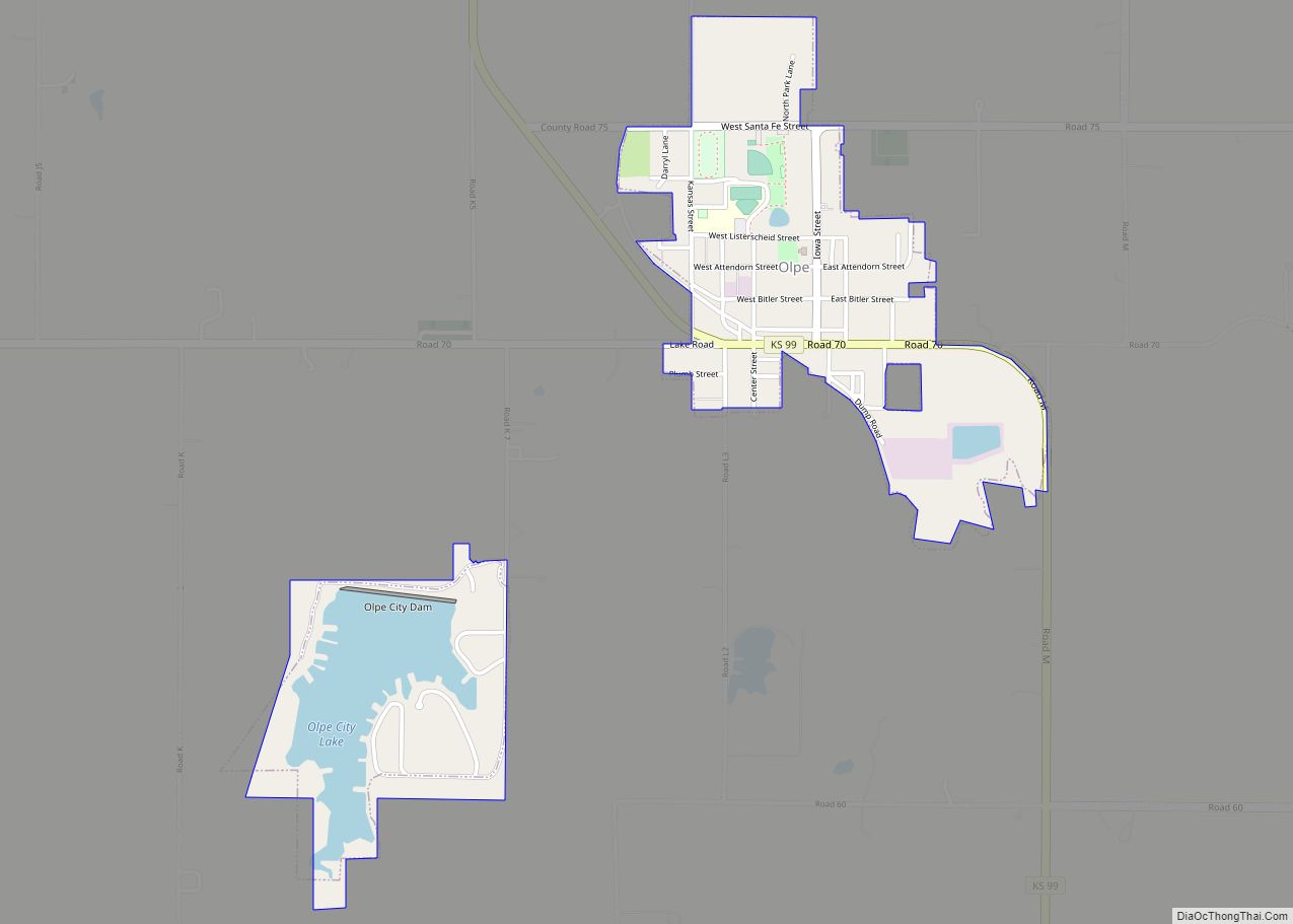
Online Interactive Map
Click on ![]() to view map in "full screen" mode.
to view map in "full screen" mode.
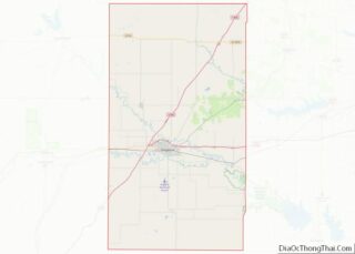
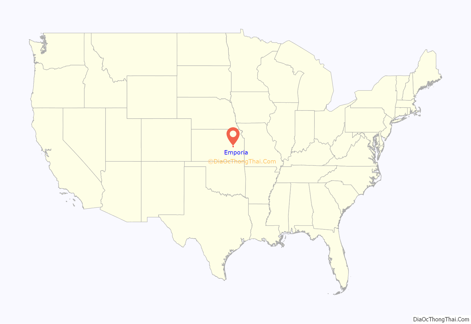
Emporia location map. Where is Emporia city?

History
Located on upland prairie, Emporia was founded in 1857, drawing its name from ancient Carthage, a place known in history as a prosperous center of commerce.
In 1864 the Union Pacific Railway, Southern Branch (later incorporated into the Missouri-Kansas-Texas Railroad) received land grants to build from Fort Riley to Emporia. The road eventually reached Emporia in 1869, becoming the first railroad to serve the burgeoning town. In July 1870, a second railroad, the Atchison, Topeka and Santa Fe Railway reached Emporia, and in the years following the American Civil War the city became a booming railroad hub. In 1888, railroad executive and educator John Byers Anderson donated his personal library to the College of Emporia to commemorate his 50th wedding anniversary, and his former mentee Andrew Carnegie donated additional funds to build a library in Anderson’s honor (conditioned upon the new college paying off its mortgage).
In 1953, Emporia was the site of the first Veterans Day observance in the United States. At the urging of local shoe cobbler Alvin J. King, U.S. Representative Edward Rees introduced legislation in The United States Congress to rename Armistice Day as Veterans Day. President Dwight D. Eisenhower signed the bill into law on October 8, 1954.
On June 8, 1974, an F4 tornado struck Emporia, killing six people, injuring 200 people, and causing $25 million in damages.
On Sunday, March 6, 1988 a heavily armed gunman walked into the Calvary Baptist Church during services and opened fire. The 29-year-old gunman, Cheunphon Ji, had no particular target, killing one person and injuring four others.
Emporia Road Map

Emporia city Satellite Map

Geography
Emporia is located in east-central Kansas. It lies along the Kansas Turnpike at its intersection with Interstate 35 and U.S. Highway 50, 108 miles (174 km) southwest of Kansas City, 58 miles (93 km) southwest of Topeka, and 87 miles (140 km) northeast of Wichita on the eastern edge of the Flint Hills. According to the United States Census Bureau, the city has a total area of 11.94 square miles (30.92 km), of which 11.83 square miles (30.64 km) is land and 0.11 square miles (0.28 km) is water. The Neosho River flows along the northern side of the city. The Cottonwood River, one of its tributaries, flows along the city’s southern edge and of two large city parks, Peter Pan and Soden’s Grove; the two rivers meet near the eastern boundary of Emporia and flow southeast to join the Arkansas River in Oklahoma.
Climate
The city averages about 60 rainy days per year, 59 days with high temperatures of 90 °F (32 °C) or higher, and 124 days with low temperatures below freezing. The average temperature in January is 29 °F (−2 °C), and in July it is 79 °F (26 °C). Annual snowfall averages 10.2 inches (25.9 cm).
See also
Map of Kansas State and its subdivision:- Allen
- Anderson
- Atchison
- Barber
- Barton
- Bourbon
- Brown
- Butler
- Chase
- Chautauqua
- Cherokee
- Cheyenne
- Clark
- Clay
- Cloud
- Coffey
- Comanche
- Cowley
- Crawford
- Decatur
- Dickinson
- Doniphan
- Douglas
- Edwards
- Elk
- Ellis
- Ellsworth
- Finney
- Ford
- Franklin
- Geary
- Gove
- Graham
- Grant
- Gray
- Greeley
- Greenwood
- Hamilton
- Harper
- Harvey
- Haskell
- Hodgeman
- Jackson
- Jefferson
- Jewell
- Johnson
- Kearny
- Kingman
- Kiowa
- Labette
- Lane
- Leavenworth
- Lincoln
- Linn
- Logan
- Lyon
- Marion
- Marshall
- McPherson
- Meade
- Miami
- Mitchell
- Montgomery
- Morris
- Morton
- Nemaha
- Neosho
- Ness
- Norton
- Osage
- Osborne
- Ottawa
- Pawnee
- Phillips
- Pottawatomie
- Pratt
- Rawlins
- Reno
- Republic
- Rice
- Riley
- Rooks
- Rush
- Russell
- Saline
- Scott
- Sedgwick
- Seward
- Shawnee
- Sheridan
- Sherman
- Smith
- Stafford
- Stanton
- Stevens
- Sumner
- Thomas
- Trego
- Wabaunsee
- Wallace
- Washington
- Wichita
- Wilson
- Woodson
- Wyandotte
- Alabama
- Alaska
- Arizona
- Arkansas
- California
- Colorado
- Connecticut
- Delaware
- District of Columbia
- Florida
- Georgia
- Hawaii
- Idaho
- Illinois
- Indiana
- Iowa
- Kansas
- Kentucky
- Louisiana
- Maine
- Maryland
- Massachusetts
- Michigan
- Minnesota
- Mississippi
- Missouri
- Montana
- Nebraska
- Nevada
- New Hampshire
- New Jersey
- New Mexico
- New York
- North Carolina
- North Dakota
- Ohio
- Oklahoma
- Oregon
- Pennsylvania
- Rhode Island
- South Carolina
- South Dakota
- Tennessee
- Texas
- Utah
- Vermont
- Virginia
- Washington
- West Virginia
- Wisconsin
- Wyoming