Erie is a city in and the county seat of Neosho County, Kansas, United States, and situated in the valley of the Neosho River, about a mile Northeast of the river. As of the 2020 census, the population of the city was 1,047.
| Name: | Erie city |
|---|---|
| LSAD Code: | 25 |
| LSAD Description: | city (suffix) |
| State: | Kansas |
| County: | Neosho County |
| Incorporated: | 1869 |
| Elevation: | 896 ft (273 m) |
| Total Area: | 1.27 sq mi (3.28 km²) |
| Land Area: | 1.27 sq mi (3.28 km²) |
| Water Area: | 0.00 sq mi (0.00 km²) |
| Total Population: | 1,047 |
| Population Density: | 820/sq mi (320/km²) |
| ZIP code: | 66733 |
| Area code: | 620 |
| FIPS code: | 2021500 |
| Website: | ErieKS.com |
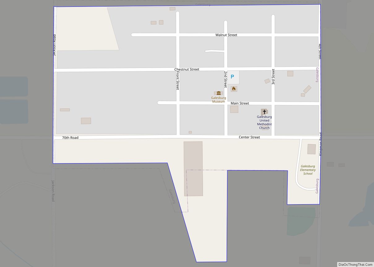
Online Interactive Map
Click on ![]() to view map in "full screen" mode.
to view map in "full screen" mode.
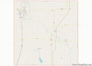
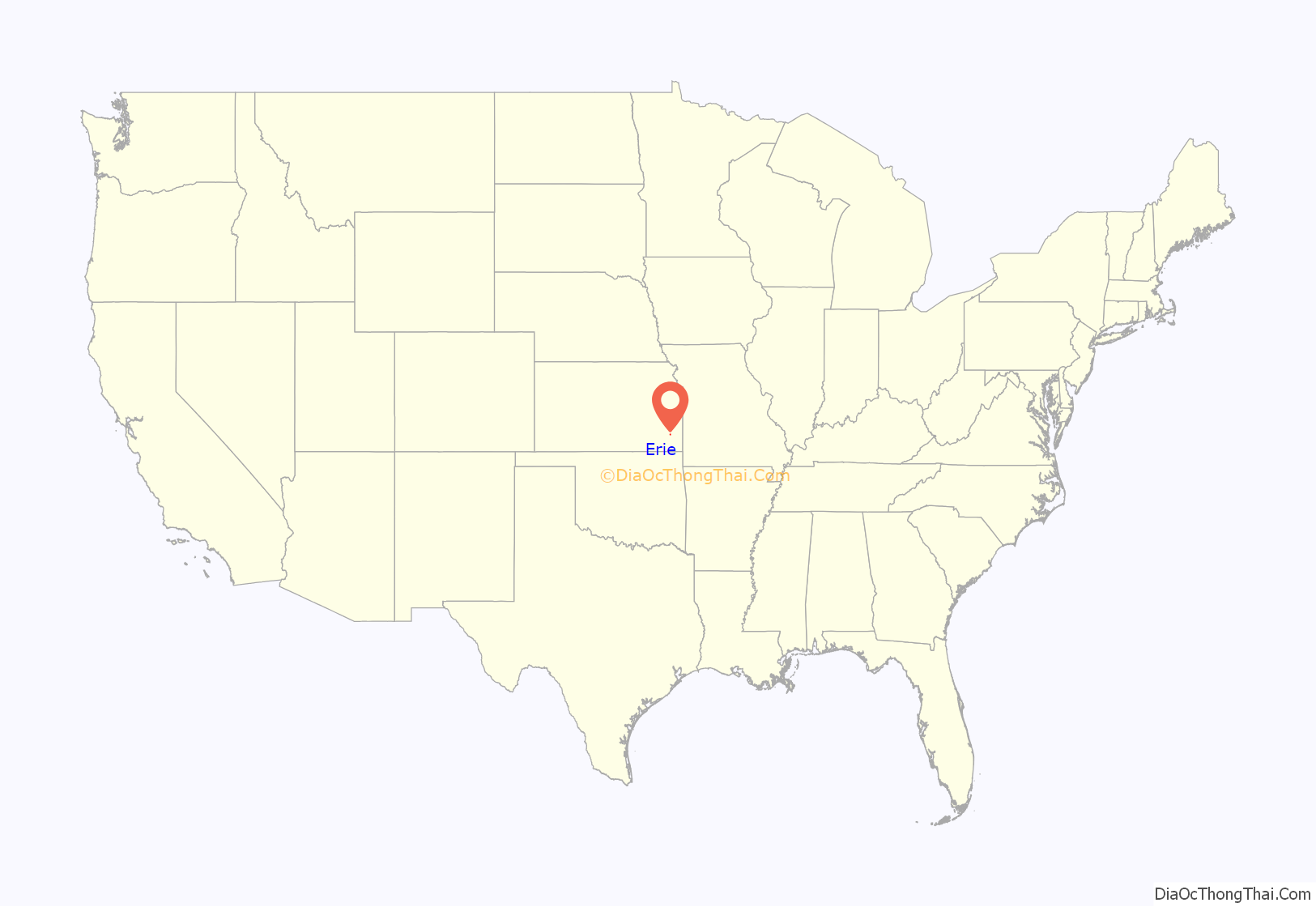
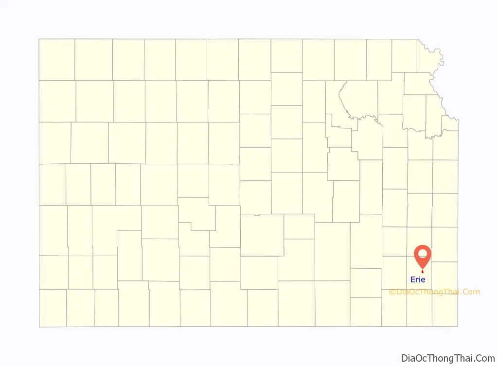
Erie location map. Where is Erie city?
History
A settlement named “Erie”, later referred to as “Old Erie” and “Beantown USA”, was platted 2 miles (3.2 km) northwest of the present townsite, while another community, known as Crawfordsville, was started two miles northeast of the current site. In 1866, the proprietors of these two towns made a compromise to abandon the towns and combine with the settlement at the present Erie site. Four men gave 40 acres each, that butted together, out of their 160-acre shares, to create the city plat of Erie. These men were: David Bray, Luther Puckett, John Himmelwright and Peter Walter. In November of that year the Erie Town Company was formed. Each member of this company donated forty acres of land in the center of Section 32, Township 28, Range 20 east. Each member was to buy city plots and improve them.
Erie’s first fire company was established in November 1866; its charter members were those men who had donated the land on which the community was built. The first log home in Erie was built in 1866, while the first businesses were built in the following year. By 1883, the city had two general stores, two blacksmith shops, one drug store, two hotels, one newspaper office, two churches, and a population of about 300.
Erie was incorporated on December 25, 1869. On December 30, the trustees met and declared Erie to be a city of the 3rd class.
In 1872, Erie was designated the county seat of Neosho County, defeating “Osage Mission” (later renamed Saint Paul) in a contentious election. After a lawsuit reached the Kansas Supreme Court, Erie retained the position of county seat.
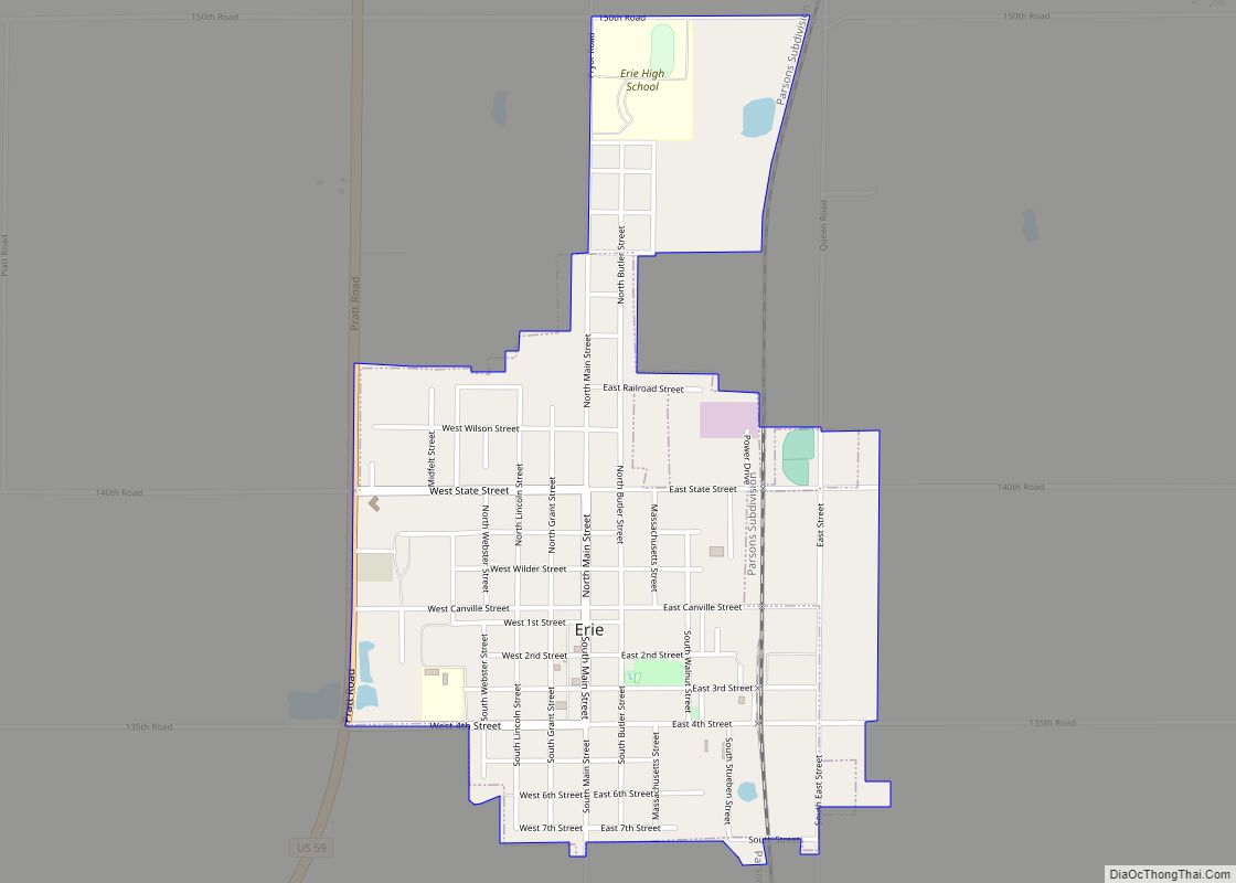
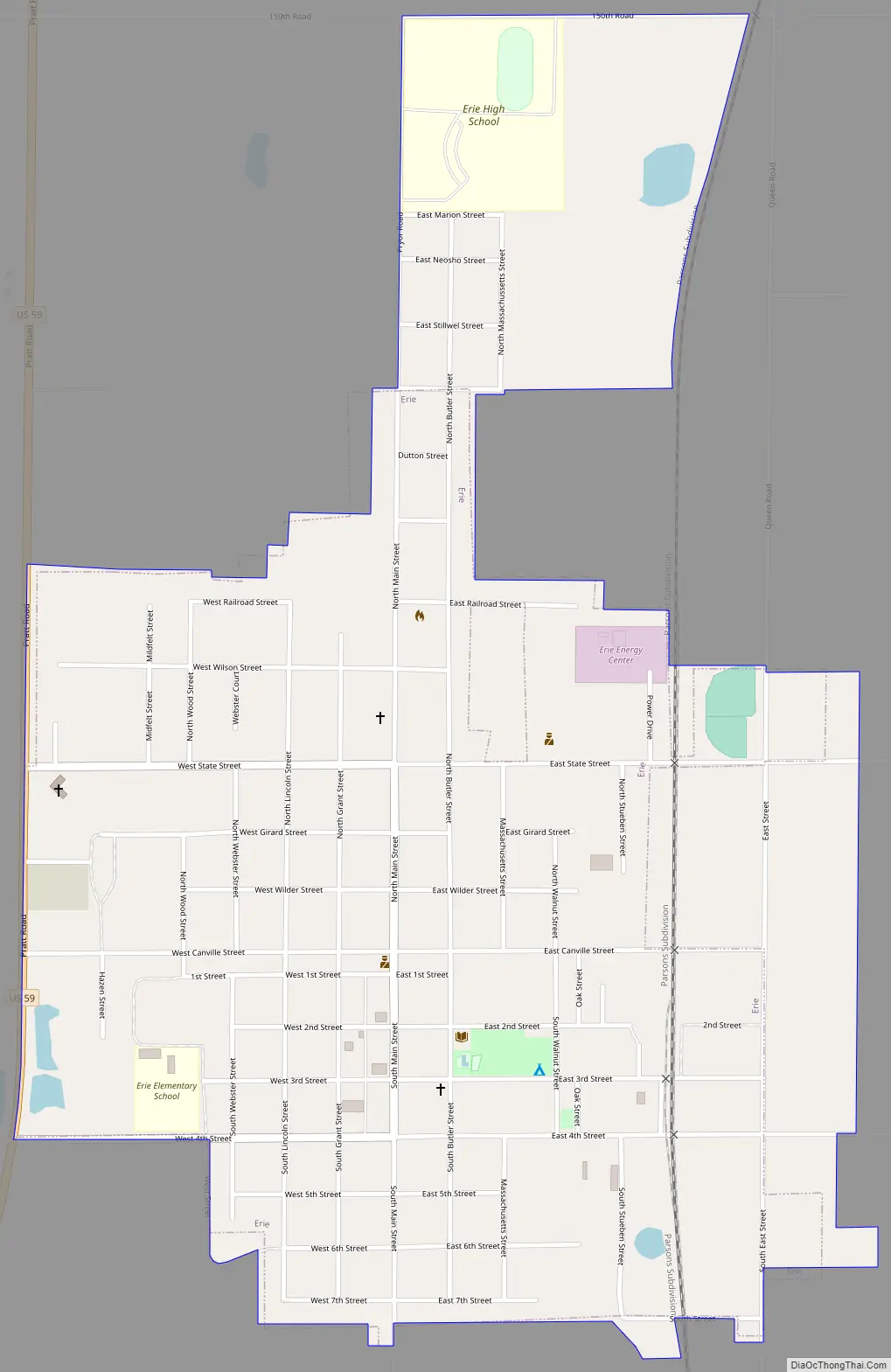
Erie Road Map
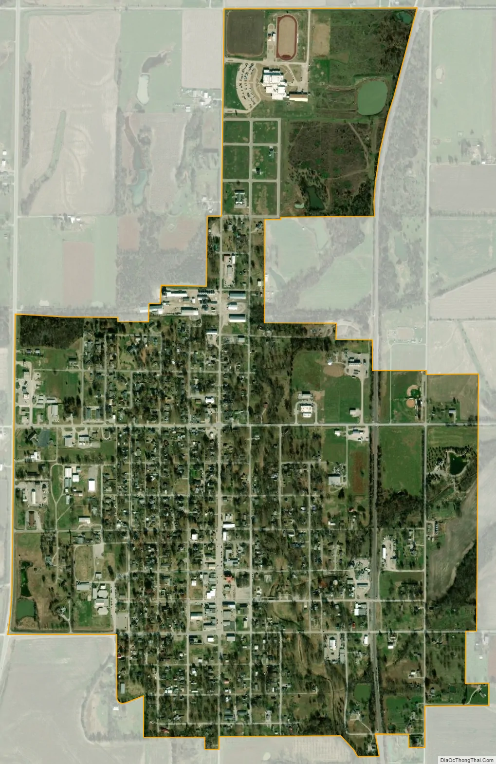
Erie city Satellite Map
Geography
Erie is located at 37°34′7″N 95°14′33″W / 37.56861°N 95.24250°W / 37.56861; -95.24250 (37.568548, -95.242562). According to the United States Census Bureau, the city has a total area of 1.21 square miles (3.13 km), all of it land.
Climate
The climate in this area is characterized by hot, humid summers and generally mild to cool winters. According to the Köppen Climate Classification system, Erie has a humid subtropical climate, abbreviated “Cfa” on climate maps.
See also
Map of Kansas State and its subdivision:- Allen
- Anderson
- Atchison
- Barber
- Barton
- Bourbon
- Brown
- Butler
- Chase
- Chautauqua
- Cherokee
- Cheyenne
- Clark
- Clay
- Cloud
- Coffey
- Comanche
- Cowley
- Crawford
- Decatur
- Dickinson
- Doniphan
- Douglas
- Edwards
- Elk
- Ellis
- Ellsworth
- Finney
- Ford
- Franklin
- Geary
- Gove
- Graham
- Grant
- Gray
- Greeley
- Greenwood
- Hamilton
- Harper
- Harvey
- Haskell
- Hodgeman
- Jackson
- Jefferson
- Jewell
- Johnson
- Kearny
- Kingman
- Kiowa
- Labette
- Lane
- Leavenworth
- Lincoln
- Linn
- Logan
- Lyon
- Marion
- Marshall
- McPherson
- Meade
- Miami
- Mitchell
- Montgomery
- Morris
- Morton
- Nemaha
- Neosho
- Ness
- Norton
- Osage
- Osborne
- Ottawa
- Pawnee
- Phillips
- Pottawatomie
- Pratt
- Rawlins
- Reno
- Republic
- Rice
- Riley
- Rooks
- Rush
- Russell
- Saline
- Scott
- Sedgwick
- Seward
- Shawnee
- Sheridan
- Sherman
- Smith
- Stafford
- Stanton
- Stevens
- Sumner
- Thomas
- Trego
- Wabaunsee
- Wallace
- Washington
- Wichita
- Wilson
- Woodson
- Wyandotte
- Alabama
- Alaska
- Arizona
- Arkansas
- California
- Colorado
- Connecticut
- Delaware
- District of Columbia
- Florida
- Georgia
- Hawaii
- Idaho
- Illinois
- Indiana
- Iowa
- Kansas
- Kentucky
- Louisiana
- Maine
- Maryland
- Massachusetts
- Michigan
- Minnesota
- Mississippi
- Missouri
- Montana
- Nebraska
- Nevada
- New Hampshire
- New Jersey
- New Mexico
- New York
- North Carolina
- North Dakota
- Ohio
- Oklahoma
- Oregon
- Pennsylvania
- Rhode Island
- South Carolina
- South Dakota
- Tennessee
- Texas
- Utah
- Vermont
- Virginia
- Washington
- West Virginia
- Wisconsin
- Wyoming