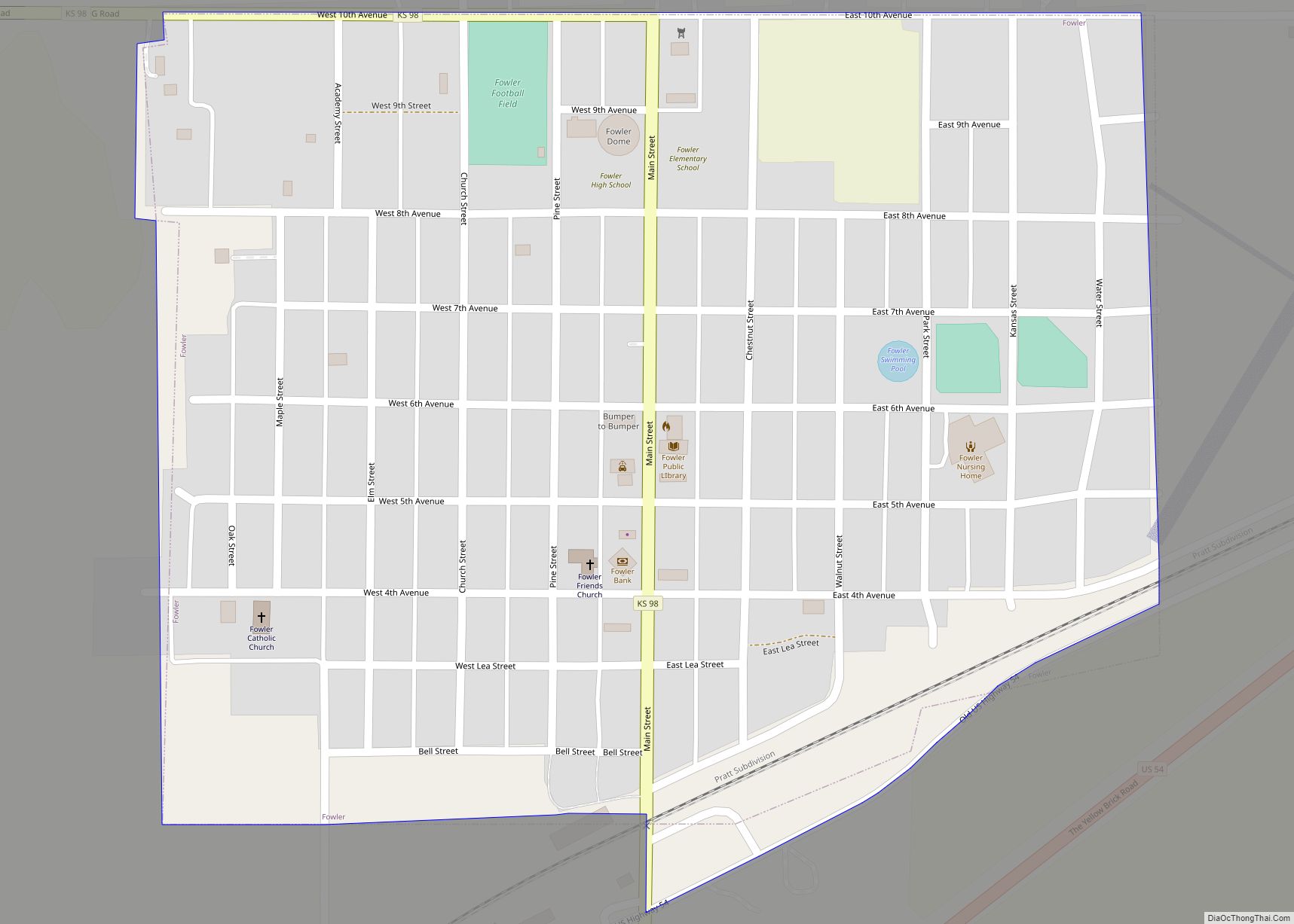
Fowler is a city in Meade County, Kansas, United States. As of the 2020 census, the population of the city was 534. Fowler city overview: Name: Fowler city LSAD Code: 25 LSAD Description: city (suffix) State: Kansas County: Meade County Founded: 1880s Incorporated: 1908 Elevation: 2,490 ft (760 m) Total Area: 0.47 sq mi (1.23 km²) Land Area: 0.47 sq mi (1.23 km²) ... Read more
Kansas Cities and Places
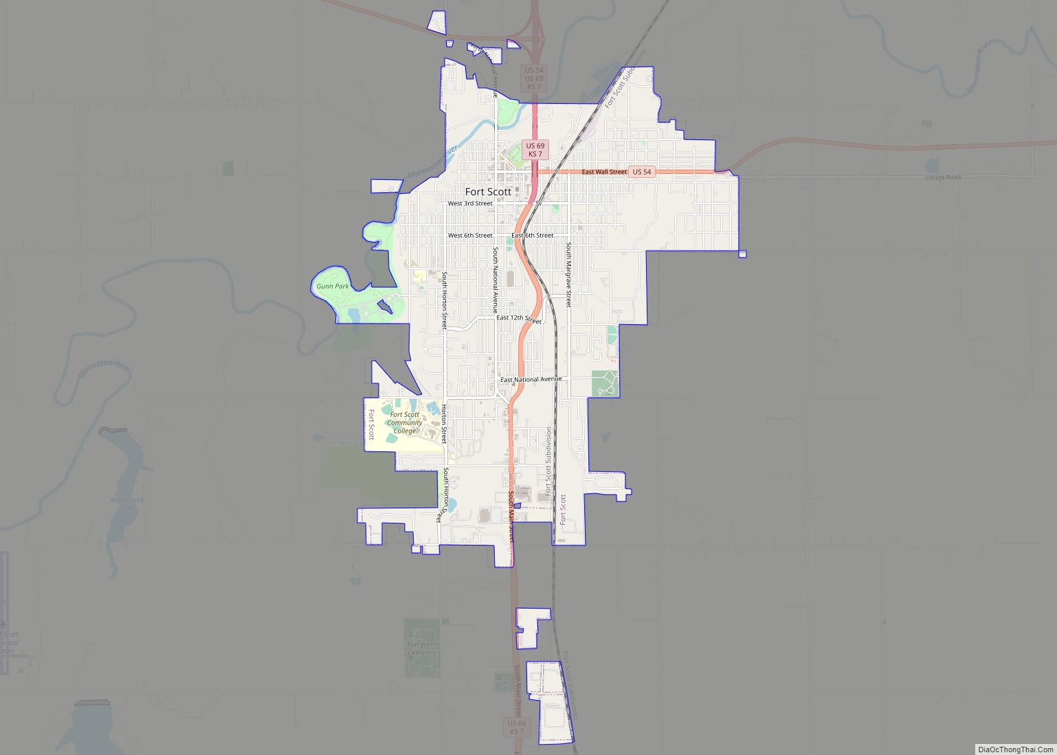
Fort Scott is a city in and the county seat of Bourbon County, Kansas, United States. As of the 2020 census, the population of the city was 7,552. It is named for Gen. Winfield Scott. The city is located 88 miles (142 km) south of Kansas City on the Marmaton River. It is the home of ... Read more
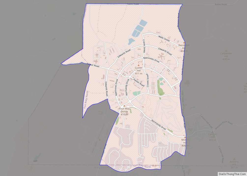
Fort Riley is a unincorporated community that covers part of Fort Riley, a US Army installation in Geary and Riley counties in the U.S. state of Kansas. As of the 2020 census, the population of the community and nearby areas was 9,230. Fort Riley CDP overview: Name: Fort Riley CDP LSAD Code: 57 LSAD Description: ... Read more
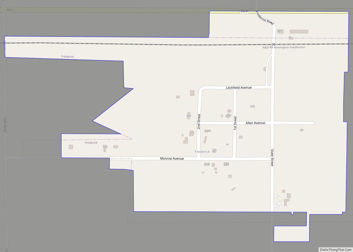
Frederick is a city in Rice County, Kansas, United States. As of the 2020 census, the population of the city was 8. Frederick city overview: Name: Frederick city LSAD Code: 25 LSAD Description: city (suffix) State: Kansas County: Rice County Incorporated: 1909 Elevation: 1,759 ft (536 m) Total Area: 0.19 sq mi (0.50 km²) Land Area: 0.19 sq mi (0.50 km²) Water Area: ... Read more
Franklin is an unincorporated community in Crawford County, Kansas, United States. As of the 2020 census, the population of the community and nearby areas was 473. Franklin is located along U.S. Route 69, 1 mile (1.6 km) south of Arma, or 5.9 miles (9.5 km) north of Frontenac. Franklin CDP overview: Name: Franklin CDP LSAD Code: 57 ... Read more
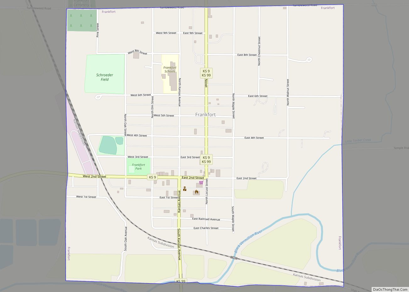
Frankfort is a city in Marshall County, Kansas, United States. As of the 2020 census, the population of the city was 730. Frankfort city overview: Name: Frankfort city LSAD Code: 25 LSAD Description: city (suffix) State: Kansas County: Marshall County Incorporated: 1875 Elevation: 1,158 ft (353 m) Total Area: 1.01 sq mi (2.62 km²) Land Area: 1.01 sq mi (2.61 km²) Water Area: ... Read more
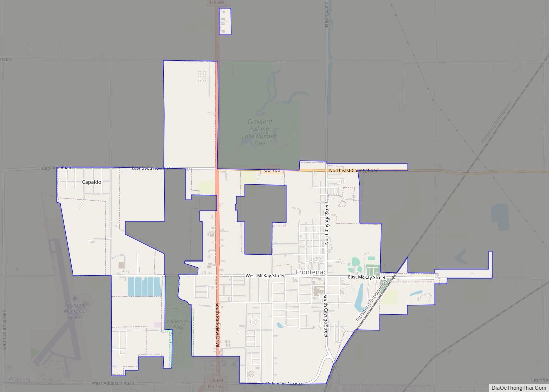
Frontenac is the second largest city in Crawford County, Kansas, United States. As of the 2020 census, the population of the city was 3,382. Frontenac city overview: Name: Frontenac city LSAD Code: 25 LSAD Description: city (suffix) State: Kansas County: Crawford County Founded: 1886 Incorporated: 1895 Elevation: 958 ft (292 m) Total Area: 5.32 sq mi (13.78 km²) Land Area: ... Read more
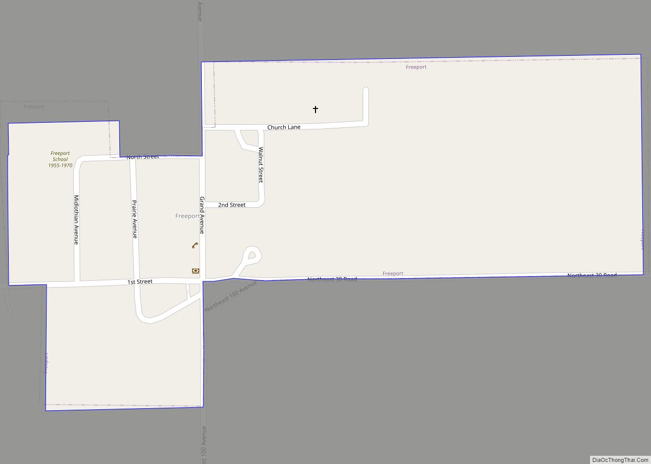
Freeport city overview: Name: Freeport city LSAD Code: 25 LSAD Description: city (suffix) State: Kansas County: Harper County FIPS code: 2024725 Online Interactive Map Freeport online map. Source: Basemap layers from Google Map, Open Street Map (OSM), Arcgisonline, Wmflabs. Boundary Data from Database of Global Administrative Areas. Freeport location map. Where is Freeport city? Freeport ... Read more
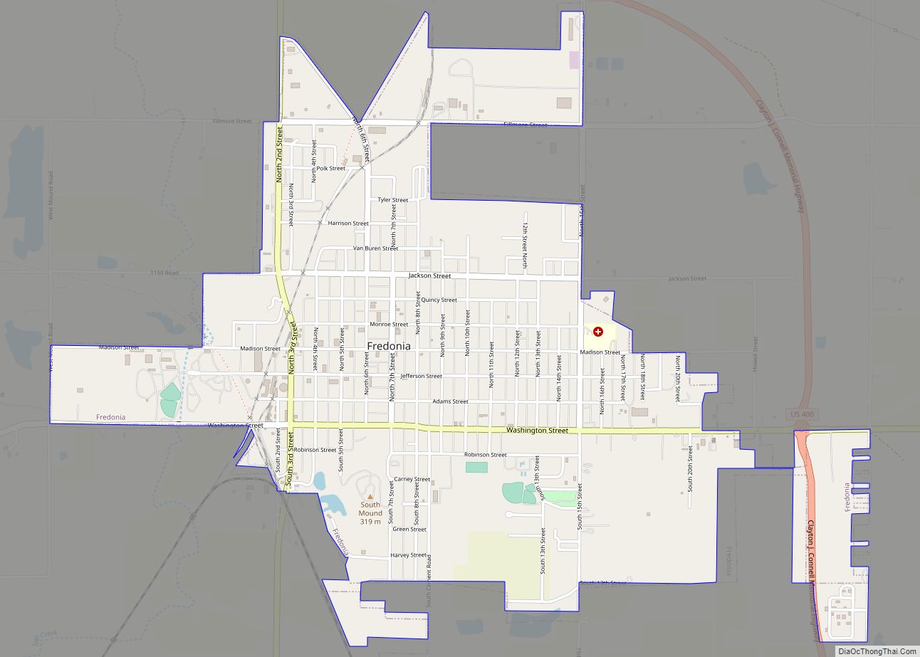
Fredonia is a city in and the county seat of Wilson County, Kansas, United States. As of the 2020 census, the population of the city was 2,151. The city was founded in 1868, and saw considerable expansion in the early 20th century, with a fossil fuel boom. Fredonia city overview: Name: Fredonia city LSAD Code: ... Read more
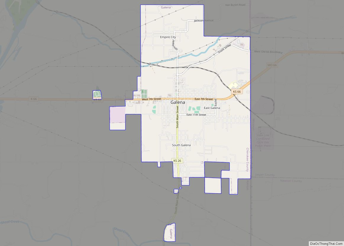
Galena is a city in Cherokee County, Kansas, United States. As of the 2020 census, the population of the city was 2,761. Galena city overview: Name: Galena city LSAD Code: 25 LSAD Description: city (suffix) State: Kansas County: Cherokee County Founded: 1877 Incorporated: 1877 Elevation: 902 ft (275 m) Total Area: 4.66 sq mi (12.06 km²) Land Area: 4.60 sq mi (11.92 km²) ... Read more
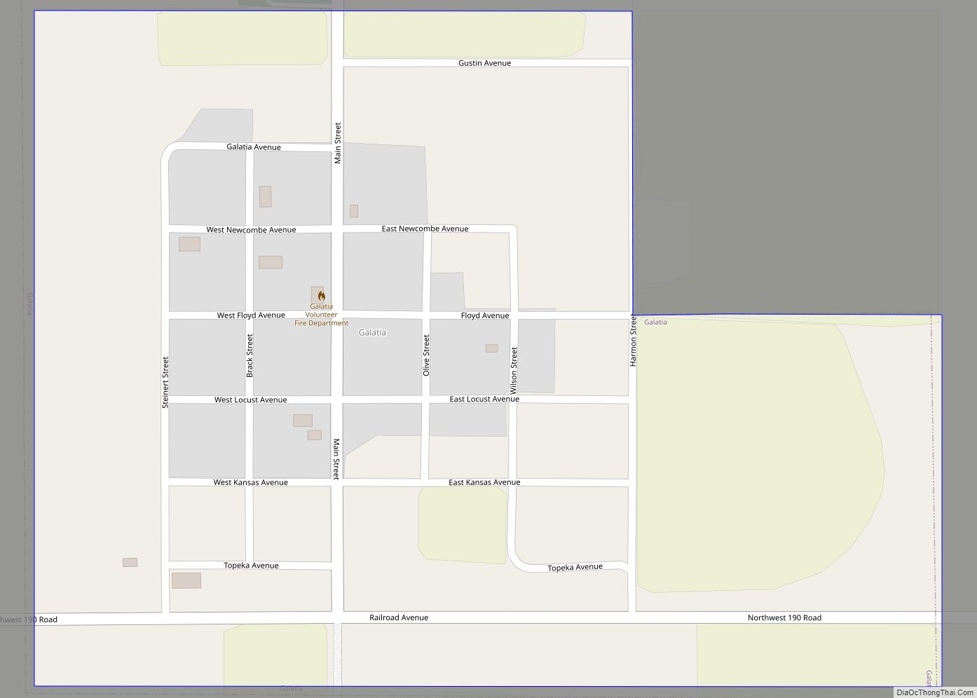
Galatia is a city in Barton County, Kansas, United States. As of the 2020 census, the population of the city was 45. Galatia city overview: Name: Galatia city LSAD Code: 25 LSAD Description: city (suffix) State: Kansas County: Barton County Founded: 1885 Incorporated: 1921 Elevation: 1,998 ft (609 m) Total Area: 0.35 sq mi (0.92 km²) Land Area: 0.35 sq mi (0.92 km²) ... Read more
Fulton is a city in Bourbon County, Kansas, United States. As of the 2020 census, the population of the city was 165. Fulton city overview: Name: Fulton city LSAD Code: 25 LSAD Description: city (suffix) State: Kansas County: Bourbon County Founded: 1869 Incorporated: 1884 Elevation: 843 ft (257 m) Total Area: 0.19 sq mi (0.50 km²) Land Area: 0.19 sq mi (0.50 km²) ... Read more
