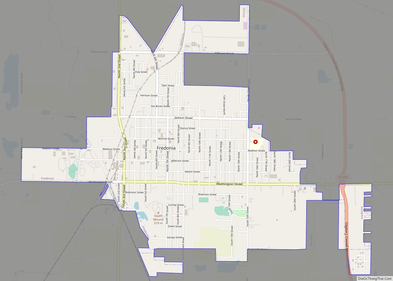
Fredonia is a city in and the county seat of Wilson County, Kansas, United States. As of the 2020 census, the population of the city was 2,151. The city was founded in 1868, and saw considerable expansion in the early 20th century, with a fossil fuel boom.
| Name: | Fredonia city |
|---|---|
| LSAD Code: | 25 |
| LSAD Description: | city (suffix) |
| State: | Kansas |
| County: | Wilson County |
| Founded: | 1860s |
| Incorporated: | 1871 |
| Elevation: | 896 ft (273 m) |
| Total Area: | 2.45 sq mi (6.34 km²) |
| Land Area: | 2.44 sq mi (6.32 km²) |
| Water Area: | 0.01 sq mi (0.02 km²) |
| Total Population: | 2,151 |
| Population Density: | 880/sq mi (340/km²) |
| ZIP code: | 66736 |
| Area code: | 620 |
| FIPS code: | 2024575 |
| Website: | fredoniaks.org |
Online Interactive Map
Click on ![]() to view map in "full screen" mode.
to view map in "full screen" mode.
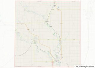
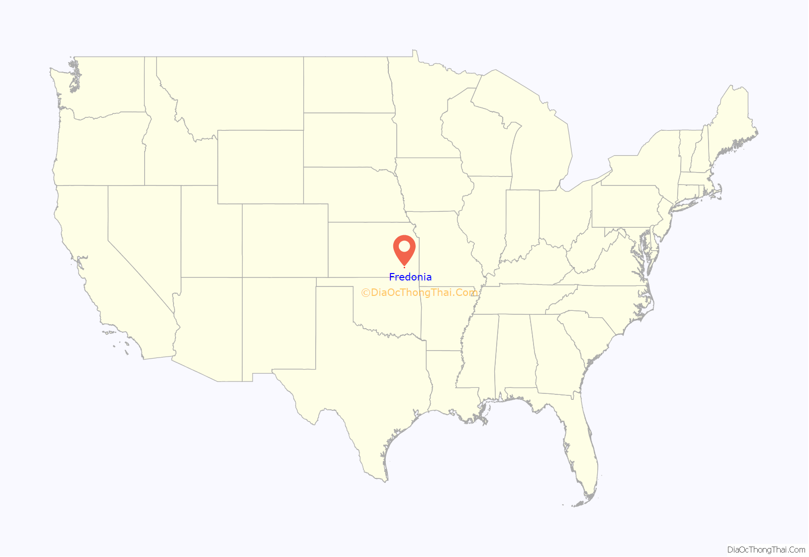
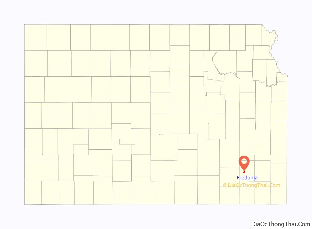
Fredonia location map. Where is Fredonia city?
History
Fredonia was laid out in 1868 near a large hillock located along the St. Louis & San Francisco Railway in southeast Kansas. It was named after Fredonia, New York. The first building on the town site was a general store, erected in 1868, on the southwest corner of the town square, soon followed by a simple courthouse and hotel. The first post office was established in August 1868. The Gold Dust Hotel was completed in 1885.
It became a booming town with an emphasis on large industry. In May 1913, a large vein of semi-anthracite coal was discovered near the town. The coal that was found was “said to be of better quality than any other found in Kansas” at that time. With this discovery, it had the possibility of bringing in large amounts of money for the Wilson County area. A cement plant opened in Fredonia in 1907, supplying jobs to the community for more than 100 years, before it was closed in 2012. The economy in Fredonia was again boosted by the Archer Daniels Midland Company. The plant was obtained in 1928 and operated as a soybean processing facility and supplied many jobs for the growing industrial town. In March 2003 the plant announced it would close its Fredonia branch effective immediately. At one time, Fredonia was a hub for oil and natural gas development.
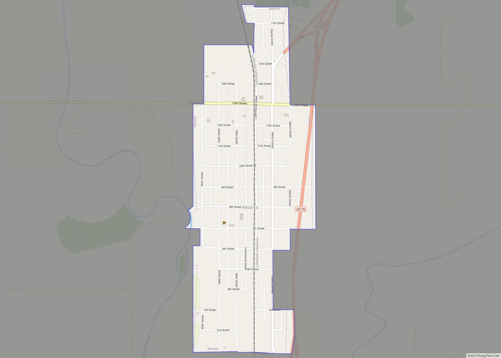
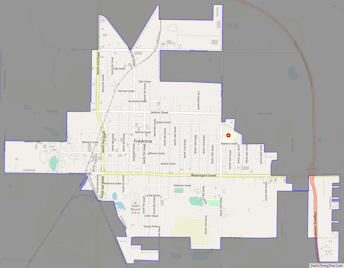
Fredonia Road Map
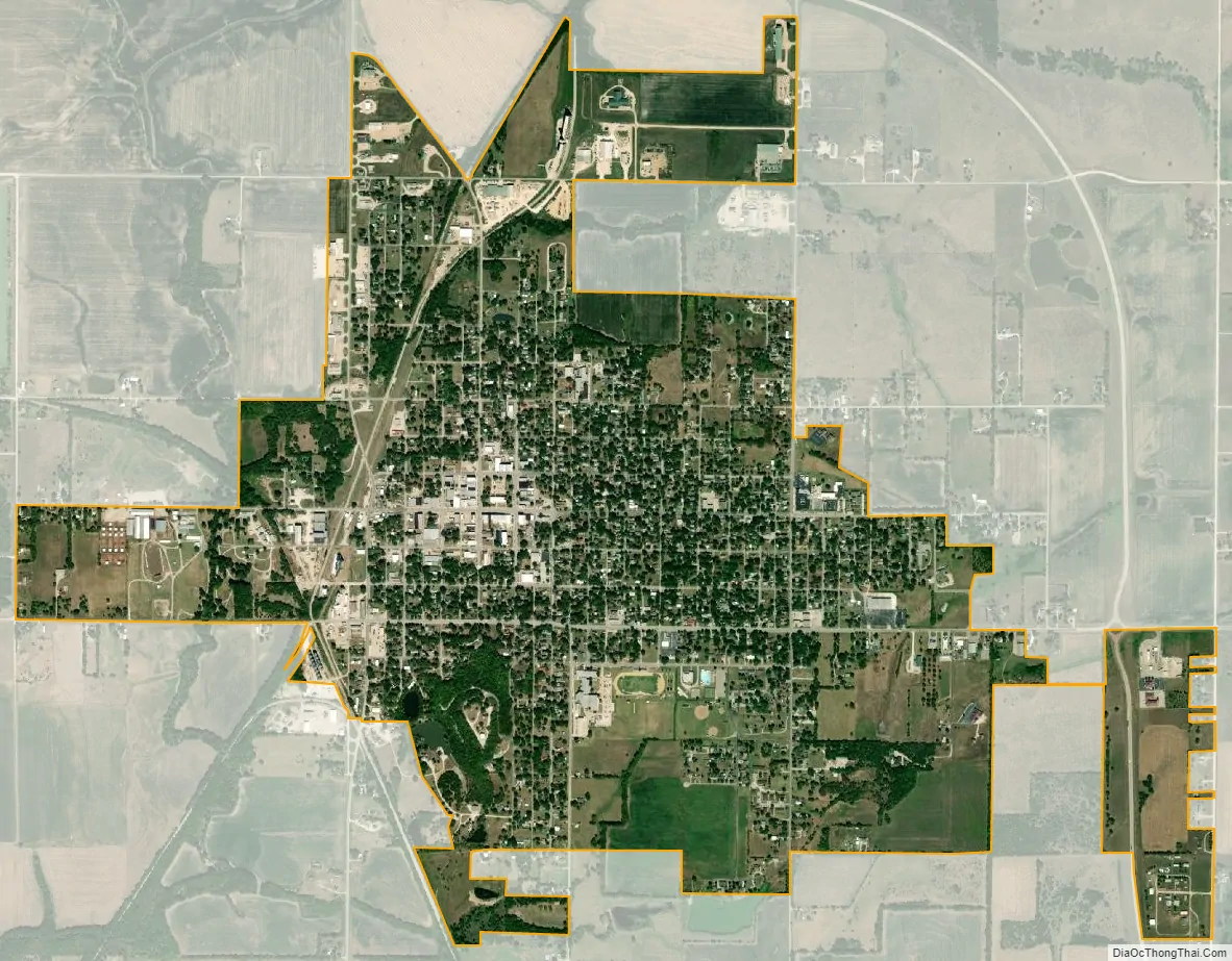
Fredonia city Satellite Map
Geography
According to the U.S. Census Bureau, the city has a total area of 2.45 square miles (6.35 km), of which, 2.44 square miles (6.32 km) is land and 0.01 square miles (0.03 km) is water.
Climate
The area climate is characterized by hot, humid summers and generally mild to cool winters. According to the Köppen Climate Classification system, Fredonia has a humid subtropical climate, abbreviated “Cfa” on climate maps. On July 18, 1936, Fredonia set the Kansas record high temperature of 121 °F. This record was later tied by Alton, Kansas.
In late June and early July 2007, Fredonia was one of several communities in Southeast Kansas to experience record flooding. On the night of June 29, at least 10 inches of rainfall was recorded and additional rainfall fell over the weekend of June 30 and July 1. On the night of June 30, a Topeka television station reported on its website that 100 people in Wilson County had lost their homes due to the flooding.
See also
Map of Kansas State and its subdivision:- Allen
- Anderson
- Atchison
- Barber
- Barton
- Bourbon
- Brown
- Butler
- Chase
- Chautauqua
- Cherokee
- Cheyenne
- Clark
- Clay
- Cloud
- Coffey
- Comanche
- Cowley
- Crawford
- Decatur
- Dickinson
- Doniphan
- Douglas
- Edwards
- Elk
- Ellis
- Ellsworth
- Finney
- Ford
- Franklin
- Geary
- Gove
- Graham
- Grant
- Gray
- Greeley
- Greenwood
- Hamilton
- Harper
- Harvey
- Haskell
- Hodgeman
- Jackson
- Jefferson
- Jewell
- Johnson
- Kearny
- Kingman
- Kiowa
- Labette
- Lane
- Leavenworth
- Lincoln
- Linn
- Logan
- Lyon
- Marion
- Marshall
- McPherson
- Meade
- Miami
- Mitchell
- Montgomery
- Morris
- Morton
- Nemaha
- Neosho
- Ness
- Norton
- Osage
- Osborne
- Ottawa
- Pawnee
- Phillips
- Pottawatomie
- Pratt
- Rawlins
- Reno
- Republic
- Rice
- Riley
- Rooks
- Rush
- Russell
- Saline
- Scott
- Sedgwick
- Seward
- Shawnee
- Sheridan
- Sherman
- Smith
- Stafford
- Stanton
- Stevens
- Sumner
- Thomas
- Trego
- Wabaunsee
- Wallace
- Washington
- Wichita
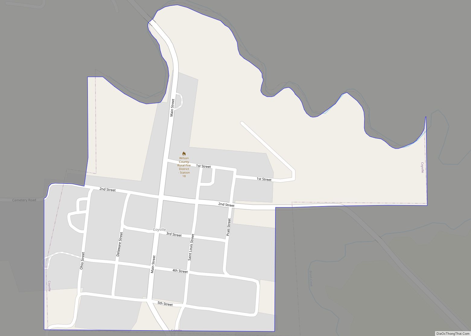
- Wilson
- Woodson
- Wyandotte
- Alabama
- Alaska
- Arizona
- Arkansas
- California
- Colorado
- Connecticut
- Delaware
- District of Columbia
- Florida
- Georgia
- Hawaii
- Idaho
- Illinois
- Indiana
- Iowa
- Kansas
- Kentucky
- Louisiana
- Maine
- Maryland
- Massachusetts
- Michigan
- Minnesota
- Mississippi
- Missouri
- Montana
- Nebraska
- Nevada
- New Hampshire
- New Jersey
- New Mexico
- New York
- North Carolina
- North Dakota
- Ohio
- Oklahoma
- Oregon
- Pennsylvania
- Rhode Island
- South Carolina
- South Dakota
- Tennessee
- Texas
- Utah
- Vermont
- Virginia
- Washington
- West Virginia
- Wisconsin
- Wyoming