Frontenac is the second largest city in Crawford County, Kansas, United States. As of the 2020 census, the population of the city was 3,382.
| Name: | Frontenac city |
|---|---|
| LSAD Code: | 25 |
| LSAD Description: | city (suffix) |
| State: | Kansas |
| County: | Crawford County |
| Founded: | 1886 |
| Incorporated: | 1895 |
| Elevation: | 958 ft (292 m) |
| Total Area: | 5.32 sq mi (13.78 km²) |
| Land Area: | 5.22 sq mi (13.53 km²) |
| Water Area: | 0.10 sq mi (0.25 km²) |
| Total Population: | 3,382 |
| Population Density: | 640/sq mi (250/km²) |
| ZIP code: | 66763 |
| Area code: | 620 |
| FIPS code: | 2024850 |
| Website: | frontenacks.net |
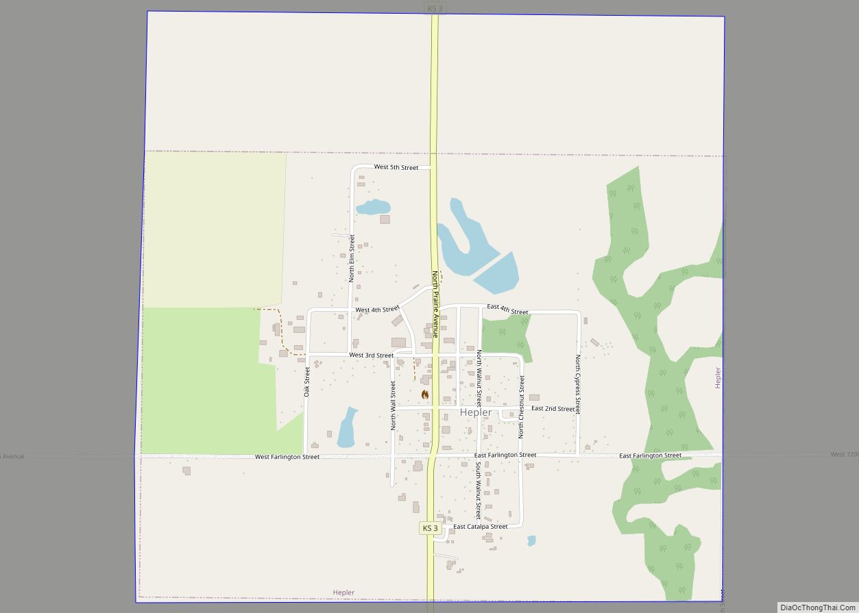
Online Interactive Map
Click on ![]() to view map in "full screen" mode.
to view map in "full screen" mode.
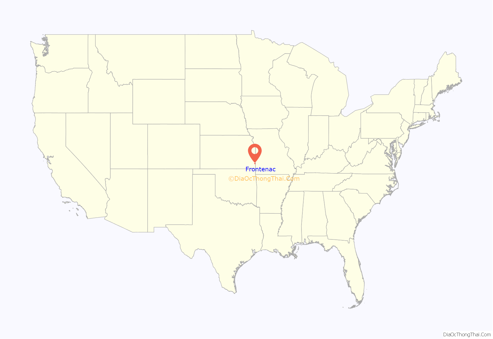
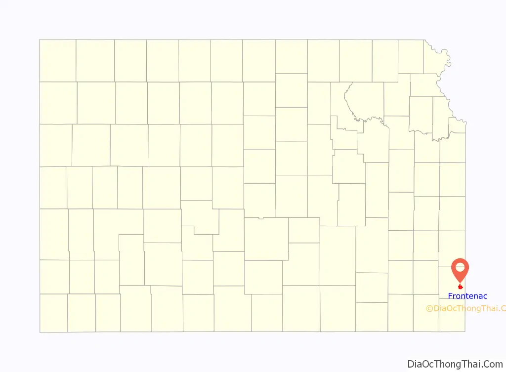
Frontenac location map. Where is Frontenac city?
History
Frontenac was established as a coal mining town in 1886 in the Cherokee-Crawford Coal Fields in the western Ozark Plateau.
A post office was opened in Frontenac in 1887.
On the night of November 9, 1888, Frontenac had the worst mining disaster in Kansas history, when a coal dust explosion killed 44 miners.
During the last decade of the nineteenth century and in the early twentieth century the town was populated primarily by immigrant families from eastern and southeastern Europe, predominantly Sicilian, Italian, and Slavic people from the Austro-Hungarian Empire. Its maximum population neared 4,000. It housed various ethnic lodges and drinking parlors despite the state’s increasingly severe ban on the distribution, sale, and manufacture of alcoholic beverages.
Coal mining remained the town’s occupational base until World War II, when its economy began to change, as did the entire region’s.
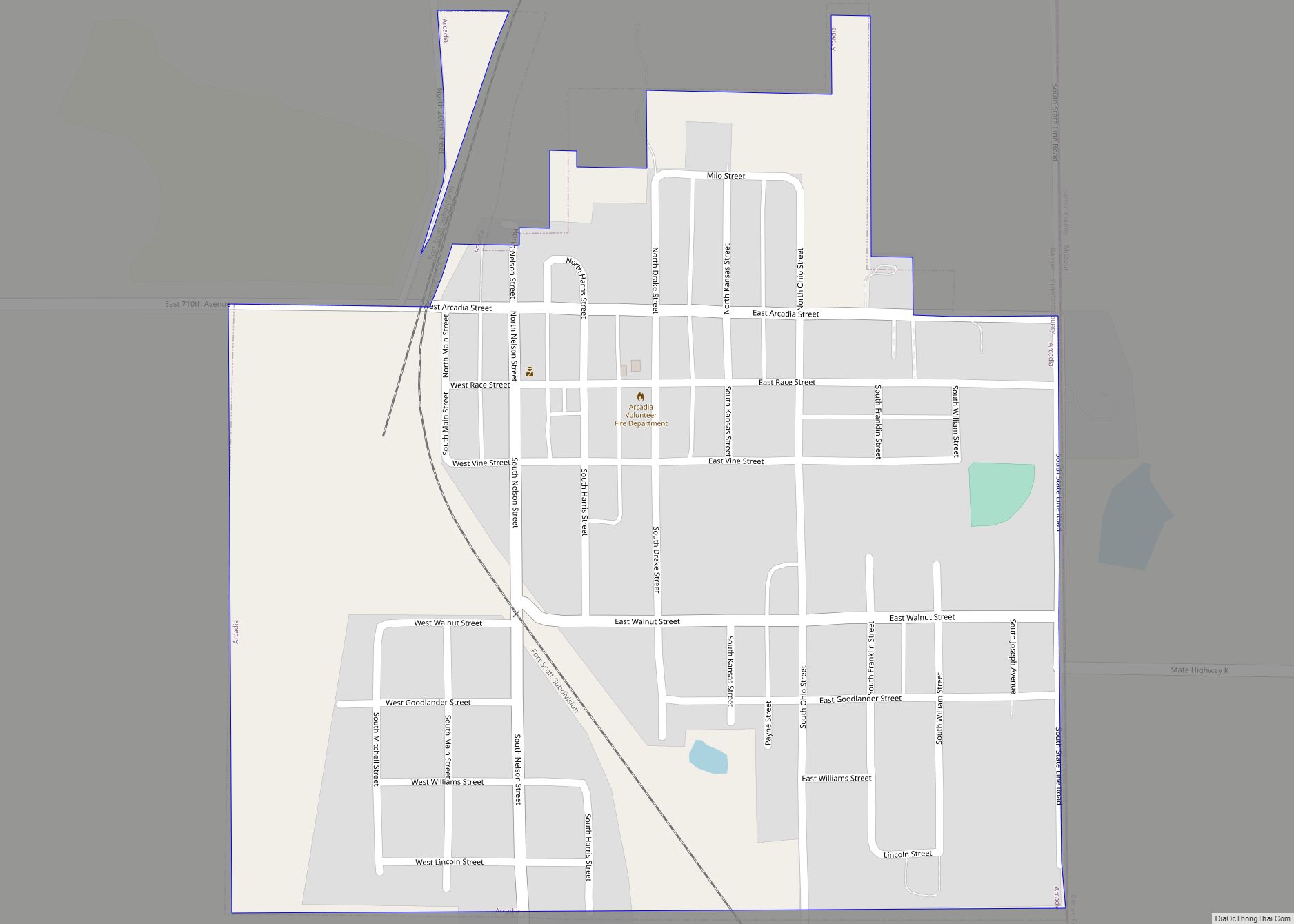
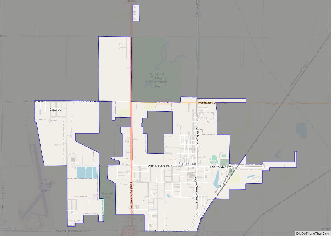
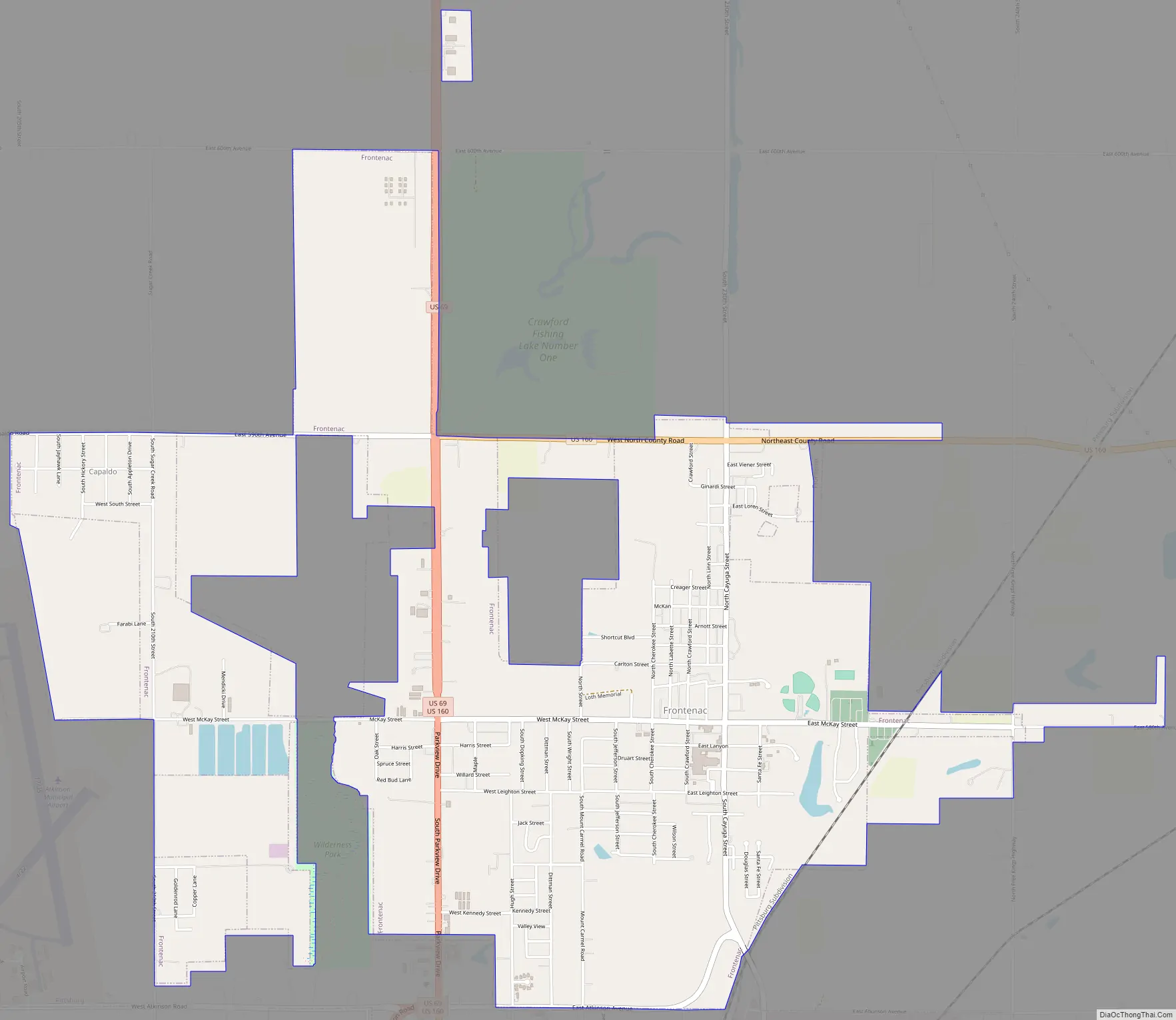
Frontenac Road Map
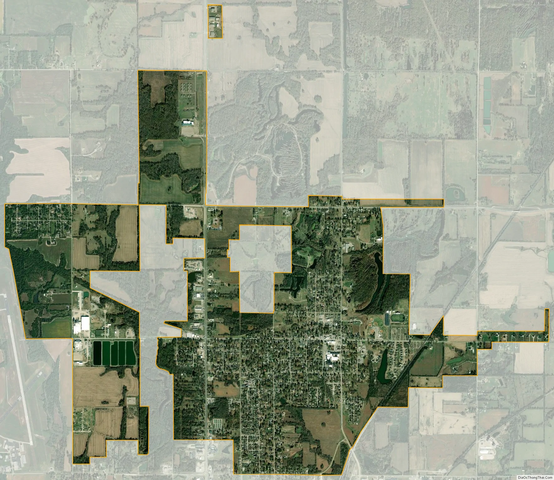
Frontenac city Satellite Map
Geography
Frontenac is located at 37°27′16″N 94°41′43″W / 37.45444°N 94.69528°W / 37.45444; -94.69528 (37.454465, -94.695185) in the Cherokee Lowlands, at the western edge of the Ozarks. According to the United States Census Bureau, the city has a total area of 5.06 square miles (13.11 km), of which, 4.97 square miles (12.87 km) is land and 0.09 square miles (0.23 km) is water.
Climate
The climate in this area is characterized by hot, humid summers and generally mild to cool winters. According to the Köppen Climate Classification system, Frontenac has a humid subtropical climate, abbreviated “Cfa” on climate maps.
See also
Map of Kansas State and its subdivision:- Allen
- Anderson
- Atchison
- Barber
- Barton
- Bourbon
- Brown
- Butler
- Chase
- Chautauqua
- Cherokee
- Cheyenne
- Clark
- Clay
- Cloud
- Coffey
- Comanche
- Cowley
- Crawford
- Decatur
- Dickinson
- Doniphan
- Douglas
- Edwards
- Elk
- Ellis
- Ellsworth
- Finney
- Ford
- Franklin
- Geary
- Gove
- Graham
- Grant
- Gray
- Greeley
- Greenwood
- Hamilton
- Harper
- Harvey
- Haskell
- Hodgeman
- Jackson
- Jefferson
- Jewell
- Johnson
- Kearny
- Kingman
- Kiowa
- Labette
- Lane
- Leavenworth
- Lincoln
- Linn
- Logan
- Lyon
- Marion
- Marshall
- McPherson
- Meade
- Miami
- Mitchell
- Montgomery
- Morris
- Morton
- Nemaha
- Neosho
- Ness
- Norton
- Osage
- Osborne
- Ottawa
- Pawnee
- Phillips
- Pottawatomie
- Pratt
- Rawlins
- Reno
- Republic
- Rice
- Riley
- Rooks
- Rush
- Russell
- Saline
- Scott
- Sedgwick
- Seward
- Shawnee
- Sheridan
- Sherman
- Smith
- Stafford
- Stanton
- Stevens
- Sumner
- Thomas
- Trego
- Wabaunsee
- Wallace
- Washington
- Wichita
- Wilson
- Woodson
- Wyandotte
- Alabama
- Alaska
- Arizona
- Arkansas
- California
- Colorado
- Connecticut
- Delaware
- District of Columbia
- Florida
- Georgia
- Hawaii
- Idaho
- Illinois
- Indiana
- Iowa
- Kansas
- Kentucky
- Louisiana
- Maine
- Maryland
- Massachusetts
- Michigan
- Minnesota
- Mississippi
- Missouri
- Montana
- Nebraska
- Nevada
- New Hampshire
- New Jersey
- New Mexico
- New York
- North Carolina
- North Dakota
- Ohio
- Oklahoma
- Oregon
- Pennsylvania
- Rhode Island
- South Carolina
- South Dakota
- Tennessee
- Texas
- Utah
- Vermont
- Virginia
- Washington
- West Virginia
- Wisconsin
- Wyoming