Galena is a city in Cherokee County, Kansas, United States. As of the 2020 census, the population of the city was 2,761.
| Name: | Galena city |
|---|---|
| LSAD Code: | 25 |
| LSAD Description: | city (suffix) |
| State: | Kansas |
| County: | Cherokee County |
| Founded: | 1877 |
| Incorporated: | 1877 |
| Elevation: | 902 ft (275 m) |
| Total Area: | 4.66 sq mi (12.06 km²) |
| Land Area: | 4.60 sq mi (11.92 km²) |
| Water Area: | 0.05 sq mi (0.14 km²) |
| Total Population: | 2,761 |
| Population Density: | 590/sq mi (230/km²) |
| ZIP code: | 66739 |
| Area code: | 620 |
| FIPS code: | 2025100 |
| Website: | galenaks.gov |
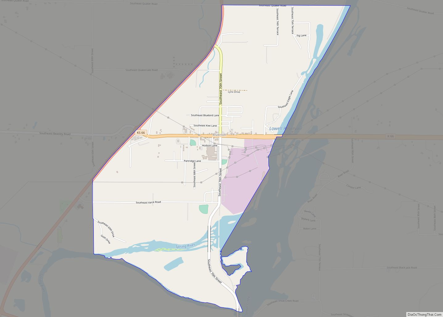
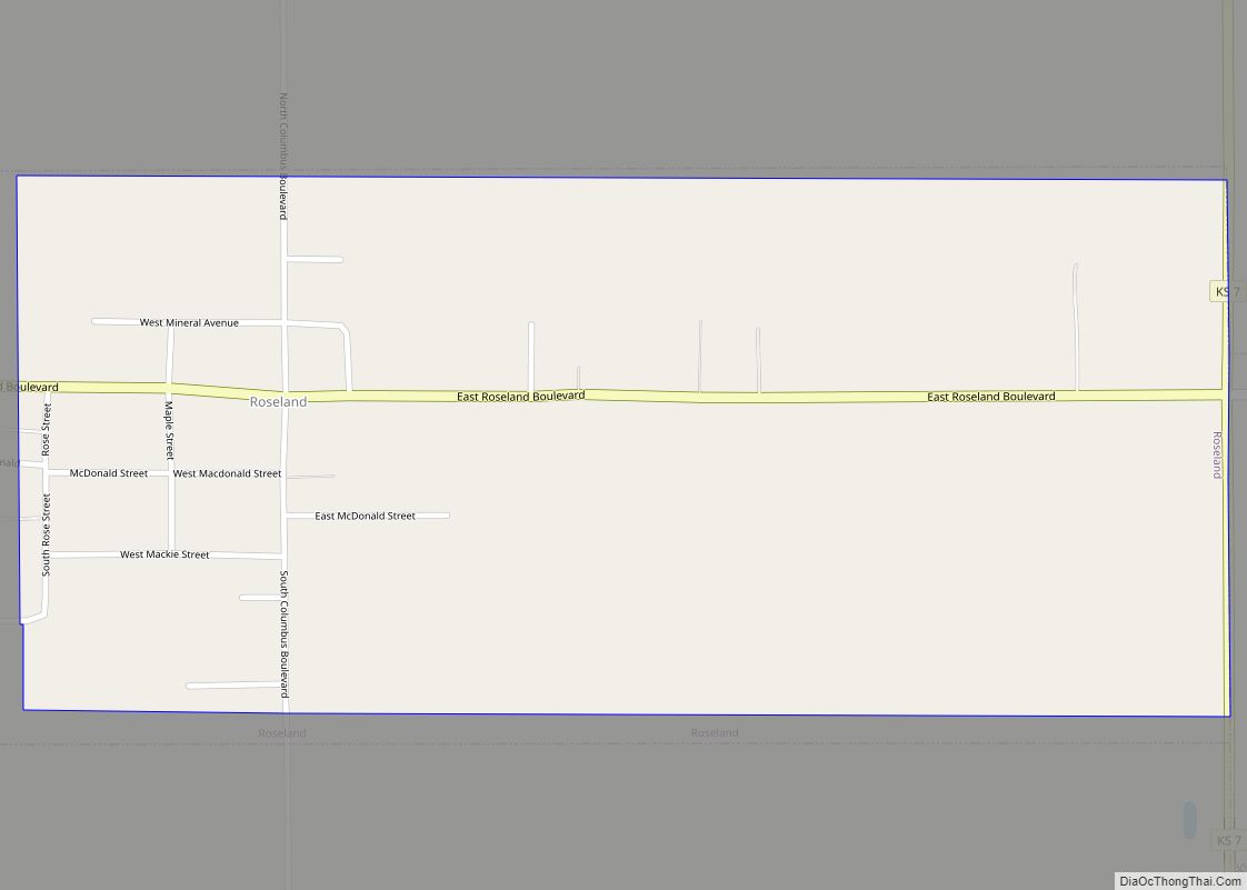
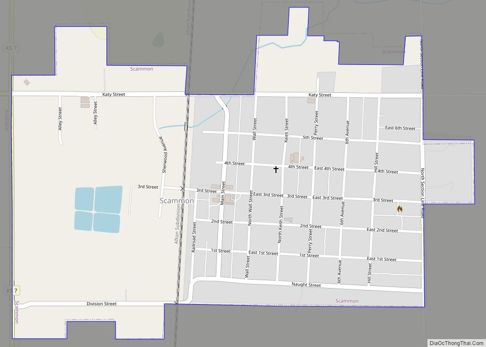
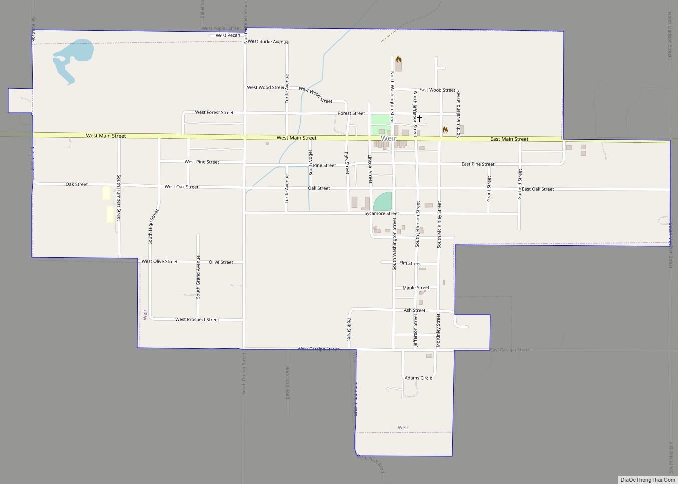
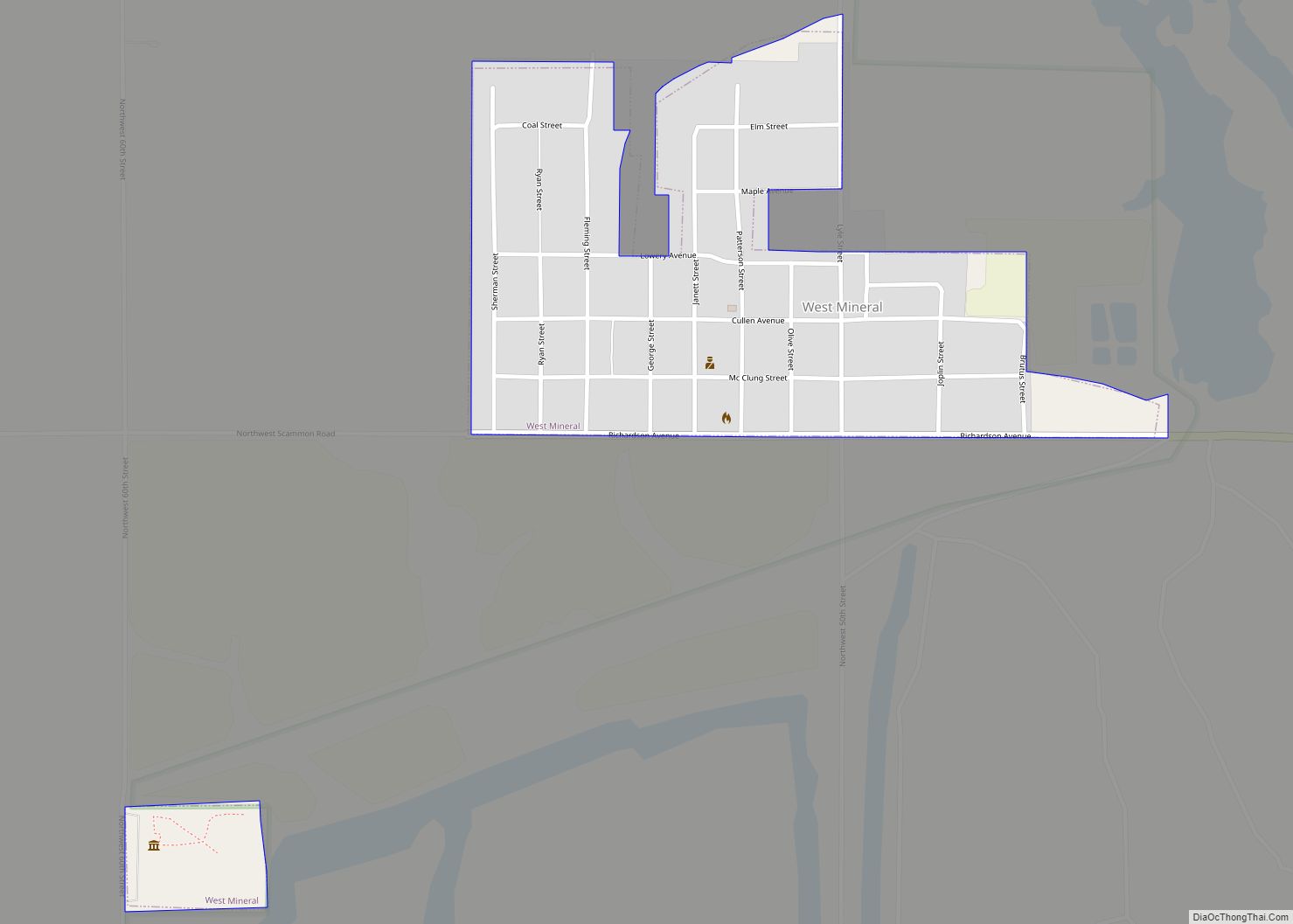
Online Interactive Map
Click on ![]() to view map in "full screen" mode.
to view map in "full screen" mode.
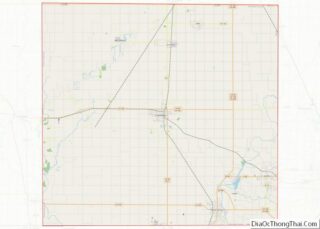
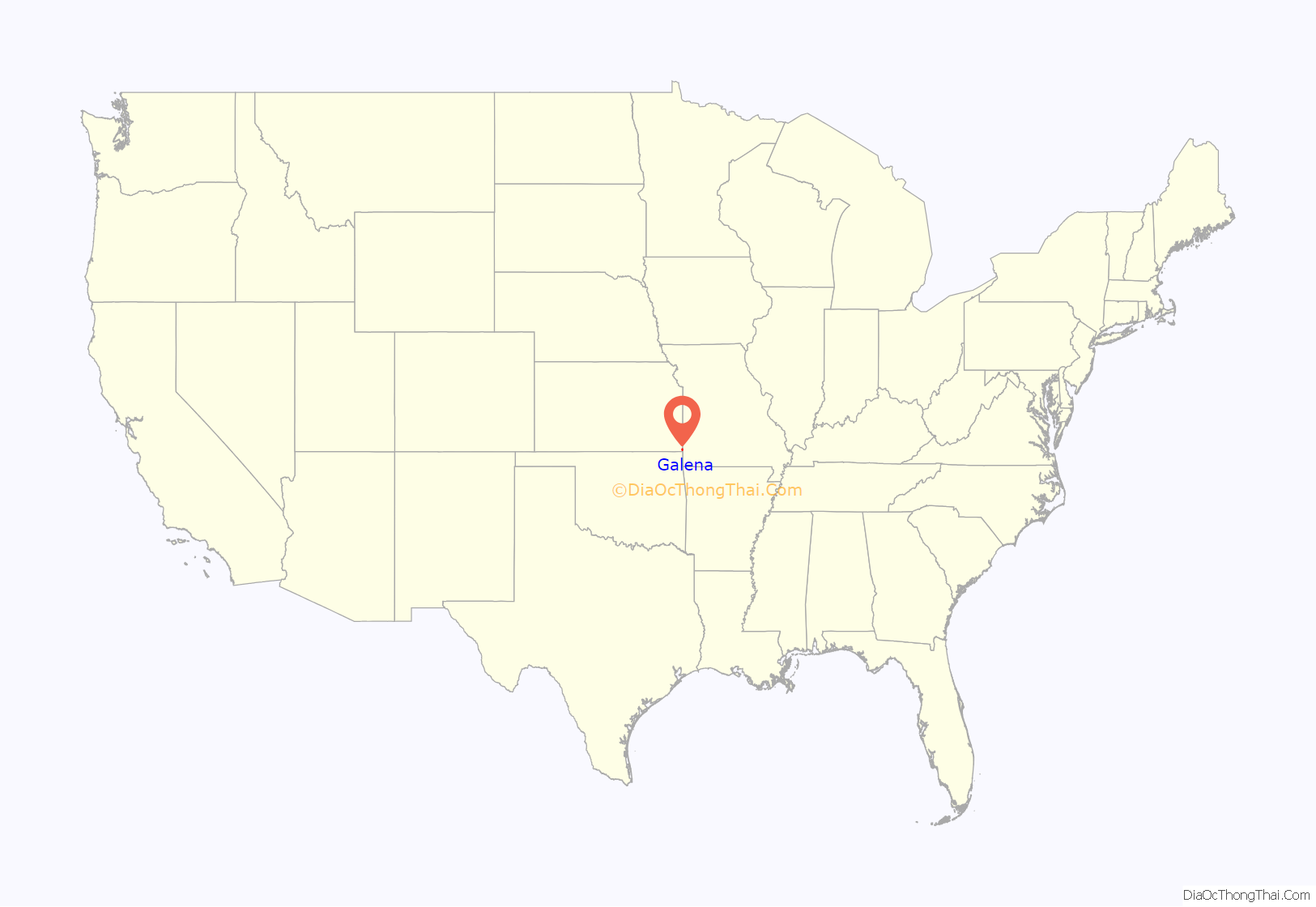
Galena location map. Where is Galena city?

History
Although the railroad was built through the territory of Galena in 1871, the community did not start until the discovery of lead there in the spring of 1877. The first post office was established in 1877.
The city was originally platted by the Galena Mining and Smelting Company and was to be known as Cornwall. The city was actually known as Short Creek when first established because of a nearby creek and was known as Bonanza briefly before taking the present name of Galena in 1877, which is named after the lead ore galena found in the area. The city was part of the tri state mining area and had over 30,000 inhabitants. After the mines closed in the 1970s, population decreased.
The Jayhawk Ordnance Works northwest of Galena, built during World War II, was a large ordnance plant producing ammonium nitrate. After the war it was privatized by its operator Kenneth Aldred Spencer and at one point was the world’s largest producer of ammonium nitrate fertilizer in the world. It would form the basis for the Spencer Chemical Company’s fortune which would eventually be funneled into numerous philanthropies throughout Missouri and Kansas. The Spencer family had been in the area because of their ownership of the Pittsburg & Midway Coal Company mining operation. The plant is still in operation as the Jayhawk Fine Chemicals Corporation now owned by CABB.
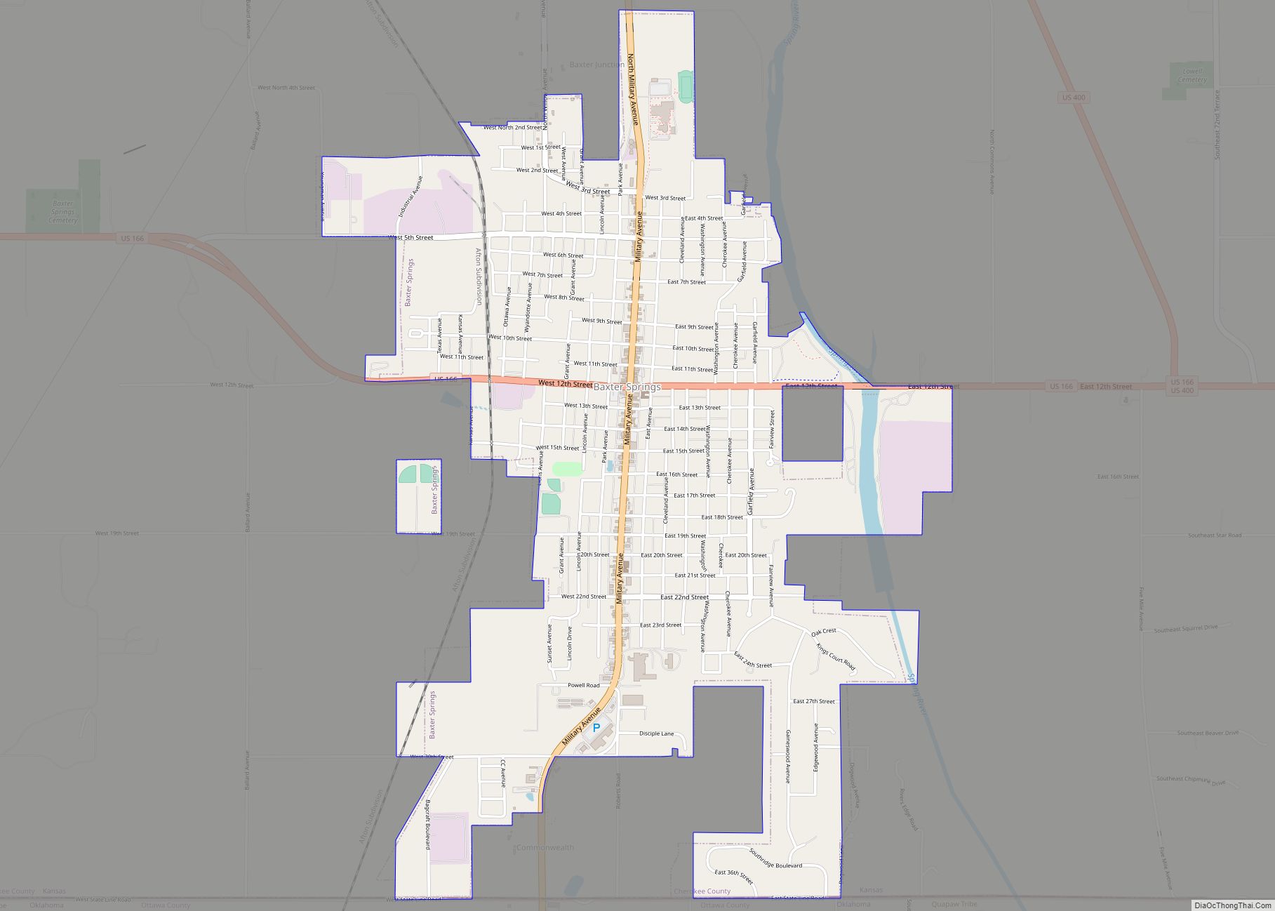
Galena Road Map

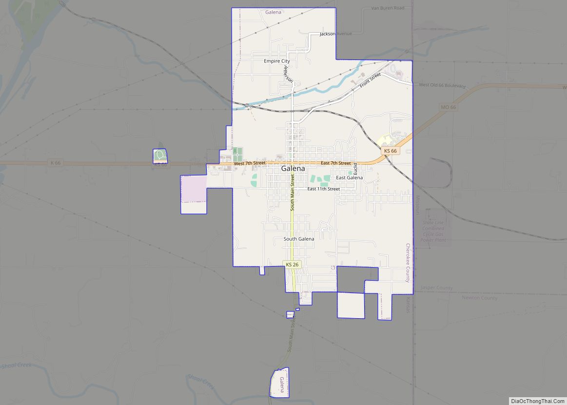
Galena city Satellite Map

Geography
Galena is located at 37°4′28″N 94°38′8″W / 37.07444°N 94.63556°W / 37.07444; -94.63556 (37.074459, -94.635549). According to the United States Census Bureau, the city has a total area of 4.62 square miles (11.97 km), of which, 4.57 square miles (11.84 km) is land and 0.05 square miles (0.13 km) is water. Galena is the eastern end of the segment of U.S. Route 66 that passes through Kansas.
See also
Map of Kansas State and its subdivision:- Allen
- Anderson
- Atchison
- Barber
- Barton
- Bourbon
- Brown
- Butler
- Chase
- Chautauqua
- Cherokee
- Cheyenne
- Clark
- Clay
- Cloud
- Coffey
- Comanche
- Cowley
- Crawford
- Decatur
- Dickinson
- Doniphan
- Douglas
- Edwards
- Elk
- Ellis
- Ellsworth
- Finney
- Ford
- Franklin
- Geary
- Gove
- Graham
- Grant
- Gray
- Greeley
- Greenwood
- Hamilton
- Harper
- Harvey
- Haskell
- Hodgeman
- Jackson
- Jefferson
- Jewell
- Johnson
- Kearny
- Kingman
- Kiowa
- Labette
- Lane
- Leavenworth
- Lincoln
- Linn
- Logan
- Lyon
- Marion
- Marshall
- McPherson
- Meade
- Miami
- Mitchell
- Montgomery
- Morris
- Morton
- Nemaha
- Neosho
- Ness
- Norton
- Osage
- Osborne
- Ottawa
- Pawnee
- Phillips
- Pottawatomie
- Pratt
- Rawlins
- Reno
- Republic
- Rice
- Riley
- Rooks
- Rush
- Russell
- Saline
- Scott
- Sedgwick
- Seward
- Shawnee
- Sheridan
- Sherman
- Smith
- Stafford
- Stanton
- Stevens
- Sumner
- Thomas
- Trego
- Wabaunsee
- Wallace
- Washington
- Wichita
- Wilson
- Woodson
- Wyandotte
- Alabama
- Alaska
- Arizona
- Arkansas
- California
- Colorado
- Connecticut
- Delaware
- District of Columbia
- Florida
- Georgia
- Hawaii
- Idaho
- Illinois
- Indiana
- Iowa
- Kansas
- Kentucky
- Louisiana
- Maine
- Maryland
- Massachusetts
- Michigan
- Minnesota
- Mississippi
- Missouri
- Montana
- Nebraska
- Nevada
- New Hampshire
- New Jersey
- New Mexico
- New York
- North Carolina
- North Dakota
- Ohio
- Oklahoma
- Oregon
- Pennsylvania
- Rhode Island
- South Carolina
- South Dakota
- Tennessee
- Texas
- Utah
- Vermont
- Virginia
- Washington
- West Virginia
- Wisconsin
- Wyoming