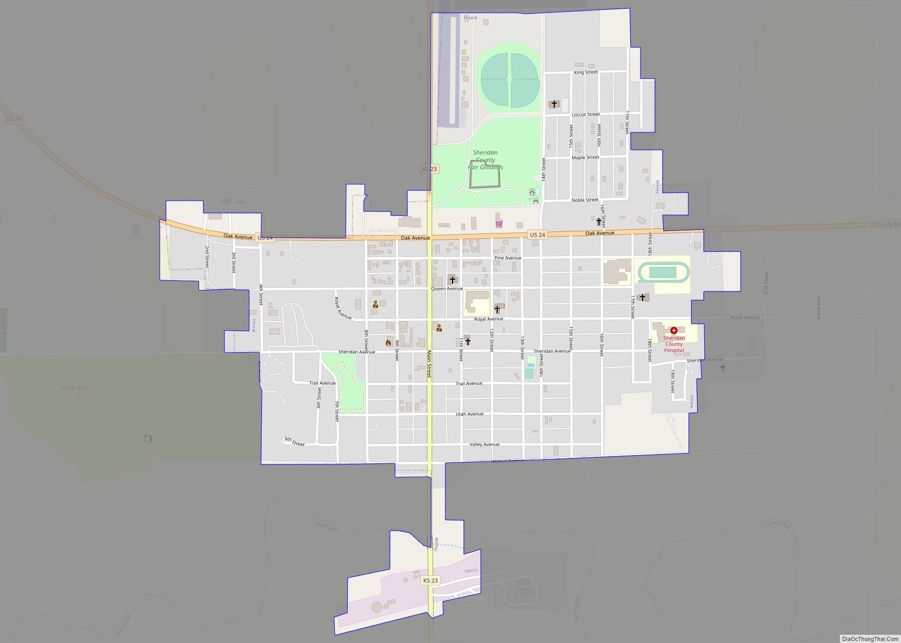
Hoxie is a city in and the county seat of Sheridan County, Kansas, United States. As of the 2020 census, the population of the city was 1,211. Hoxie city overview: Name: Hoxie city LSAD Code: 25 LSAD Description: city (suffix) State: Kansas County: Sheridan County Founded: 1886 Incorporated: 1886 Elevation: 2,713 ft (827 m) Total Area: 0.86 sq mi ... Read more
Kansas Cities and Places
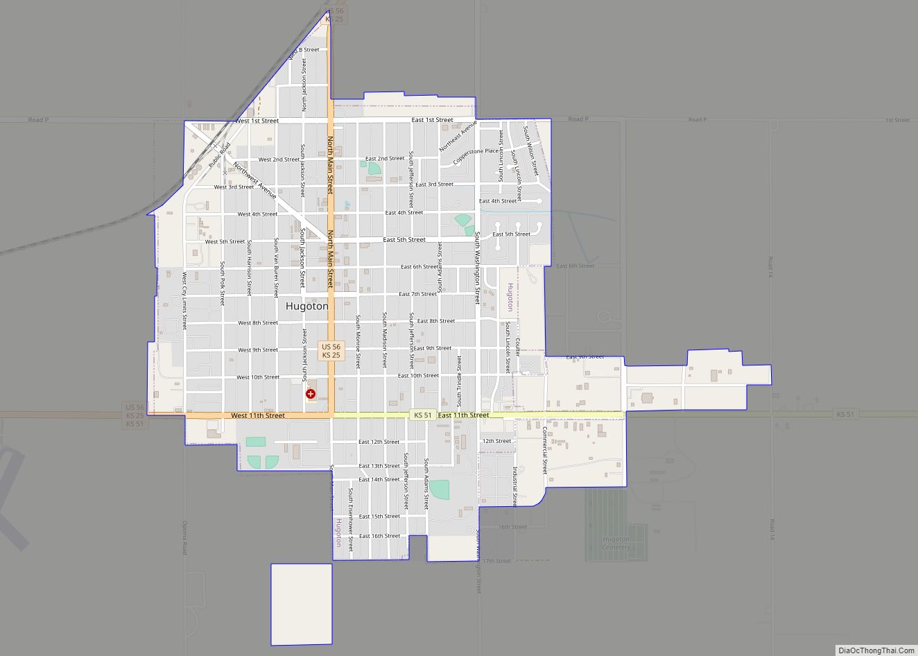
Hugoton /hjuːɡətən/ is a city in and the county seat of Stevens County, Kansas, United States. As of the 2020 census, the population of the city was 3,747. Hugoton city overview: Name: Hugoton city LSAD Code: 25 LSAD Description: city (suffix) State: Kansas County: Stevens County Founded: 1885 Incorporated: 1910 Elevation: 3,114 ft (949 m) Total Area: ... Read more
Hudson is a city in Stafford County, Kansas, United States. As of the 2020 census, the population of the city was 95. Hudson city overview: Name: Hudson city LSAD Code: 25 LSAD Description: city (suffix) State: Kansas County: Stafford County Founded: 1880s Incorporated: 1905 Elevation: 1,873 ft (571 m) Total Area: 0.13 sq mi (0.32 km²) Land Area: 0.13 sq mi (0.32 km²) ... Read more
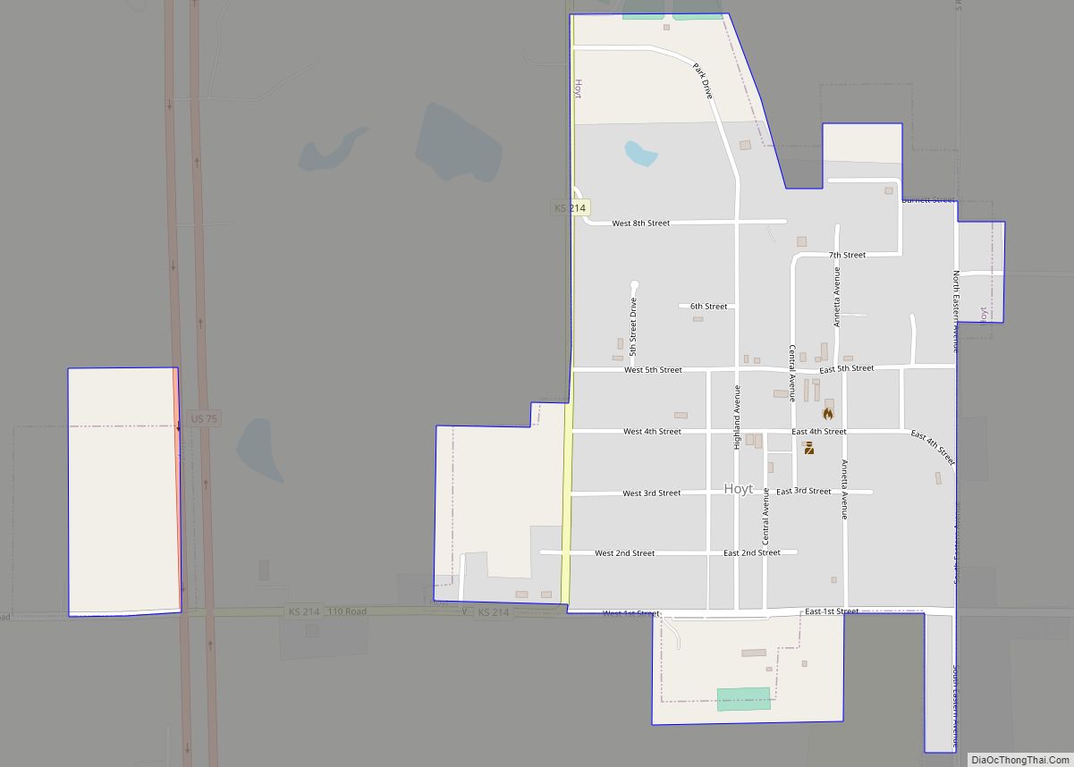
Hoyt is a city in Jackson County, Kansas, United States. As of the 2020 census, the population of the city was 593. Hoyt city overview: Name: Hoyt city LSAD Code: 25 LSAD Description: city (suffix) State: Kansas County: Jackson County Founded: 1886 Incorporated: 1909 Elevation: 1,178 ft (359 m) Total Area: 0.47 sq mi (1.22 km²) Land Area: 0.47 sq mi (1.22 km²) ... Read more
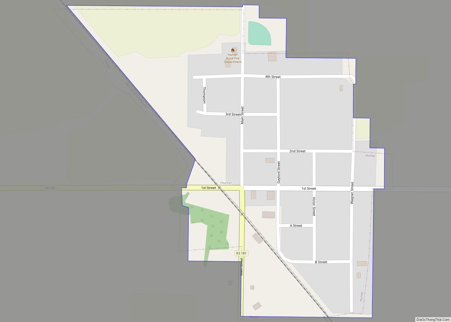
Hunter is a city in Mitchell County, Kansas, United States. As of the 2020 census, the population of the city was 51. Hunter city overview: Name: Hunter city LSAD Code: 25 LSAD Description: city (suffix) State: Kansas County: Mitchell County Founded: 1890s Incorporated: 1918 Elevation: 1,598 ft (487 m) Total Area: 0.21 sq mi (0.54 km²) Land Area: 0.21 sq mi (0.54 km²) ... Read more
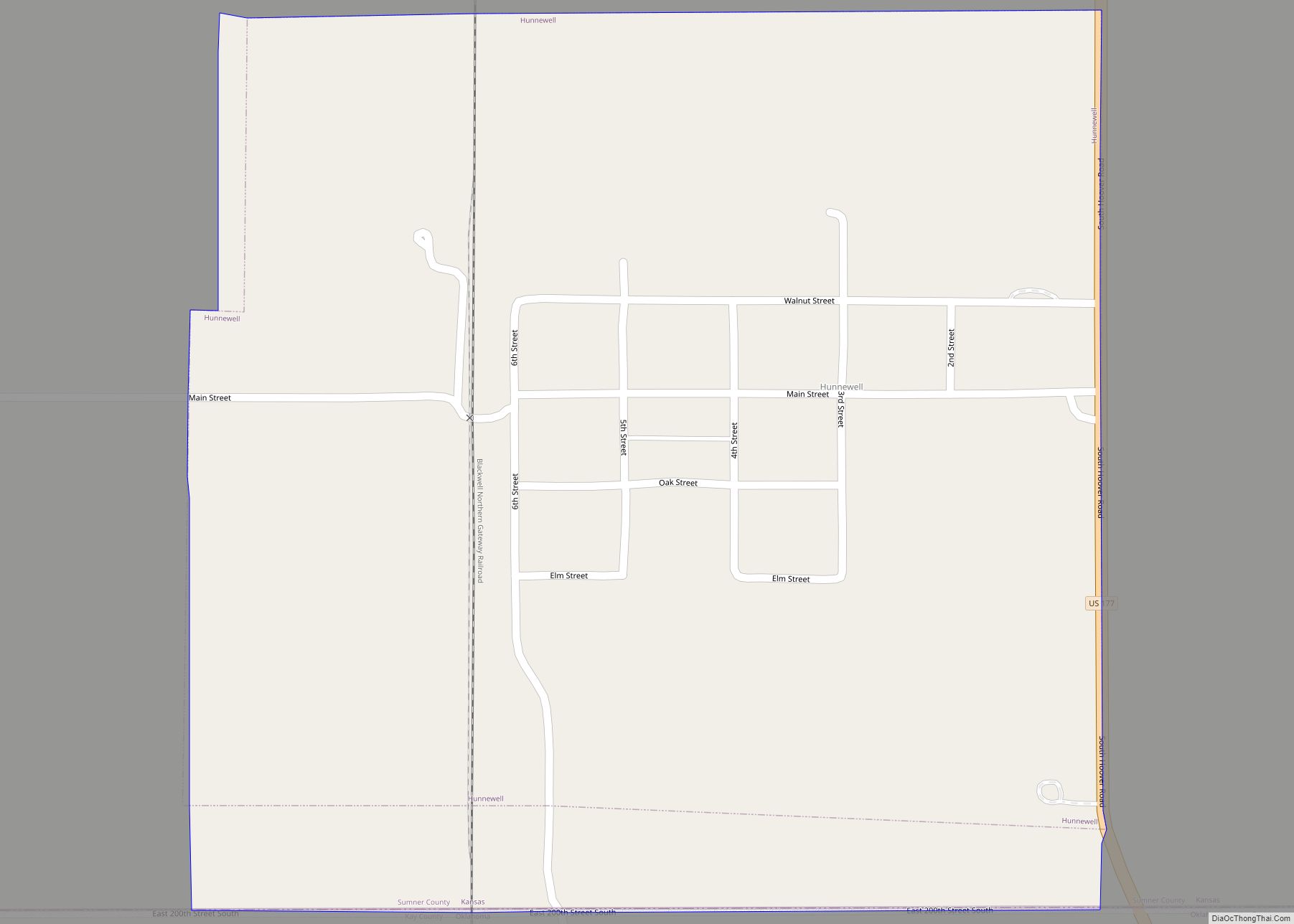
Hunnewell is a city in Sumner County, Kansas, United States. As of the 2020 census, the population of the city was 44. Hunnewell city overview: Name: Hunnewell city LSAD Code: 25 LSAD Description: city (suffix) State: Kansas County: Sumner County Founded: 1880 Incorporated: 1882 Elevation: 1,112 ft (339 m) Total Area: 0.55 sq mi (1.43 km²) Land Area: 0.55 sq mi (1.43 km²) ... Read more
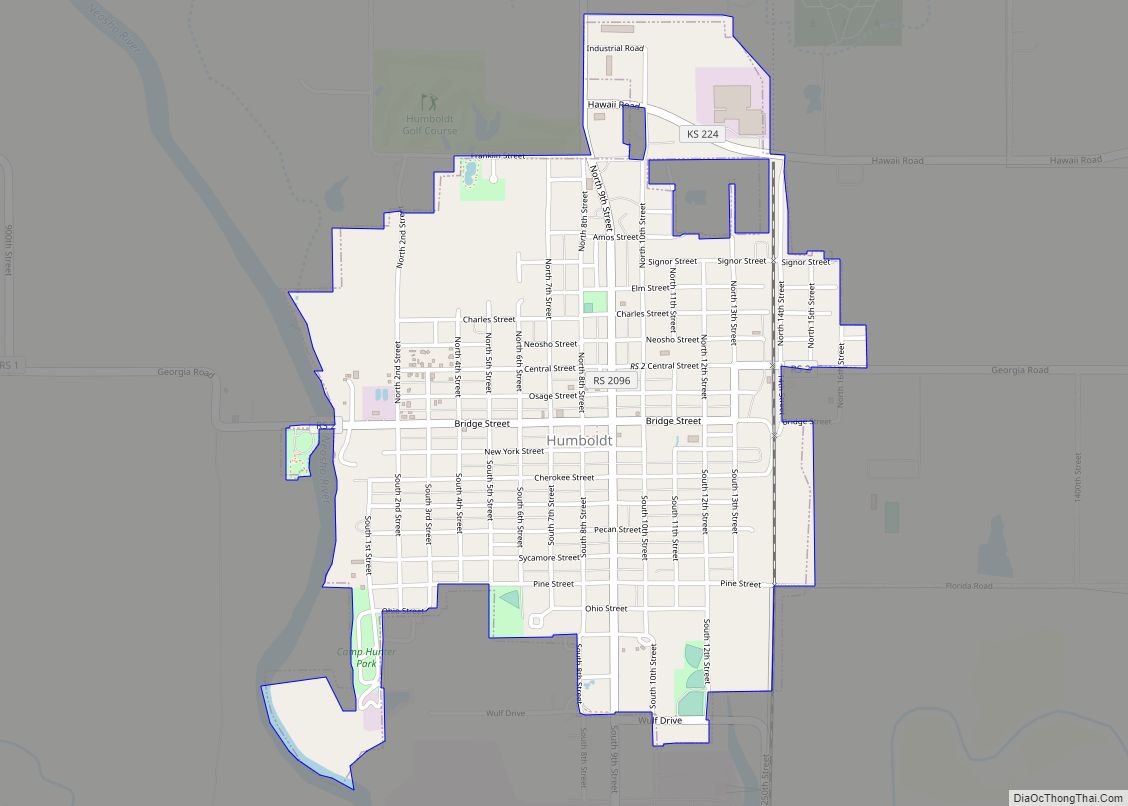
Humboldt is a city in Allen County, Kansas, United States. It is situated along the Neosho River. As of the 2020 census, the population of the city was 1,847. Humboldt city overview: Name: Humboldt city LSAD Code: 25 LSAD Description: city (suffix) State: Kansas County: Allen County Founded: 1857 Incorporated: 1878 Elevation: 978 ft (298 m) Total ... Read more
Independence is a city in and the county seat of Montgomery County, Kansas, United States. As of the 2020 census, the population of the city was 8,548. It was named in commemoration of the Declaration of Independence. Independence city overview: Name: Independence city LSAD Code: 25 LSAD Description: city (suffix) State: Kansas County: Montgomery County ... Read more
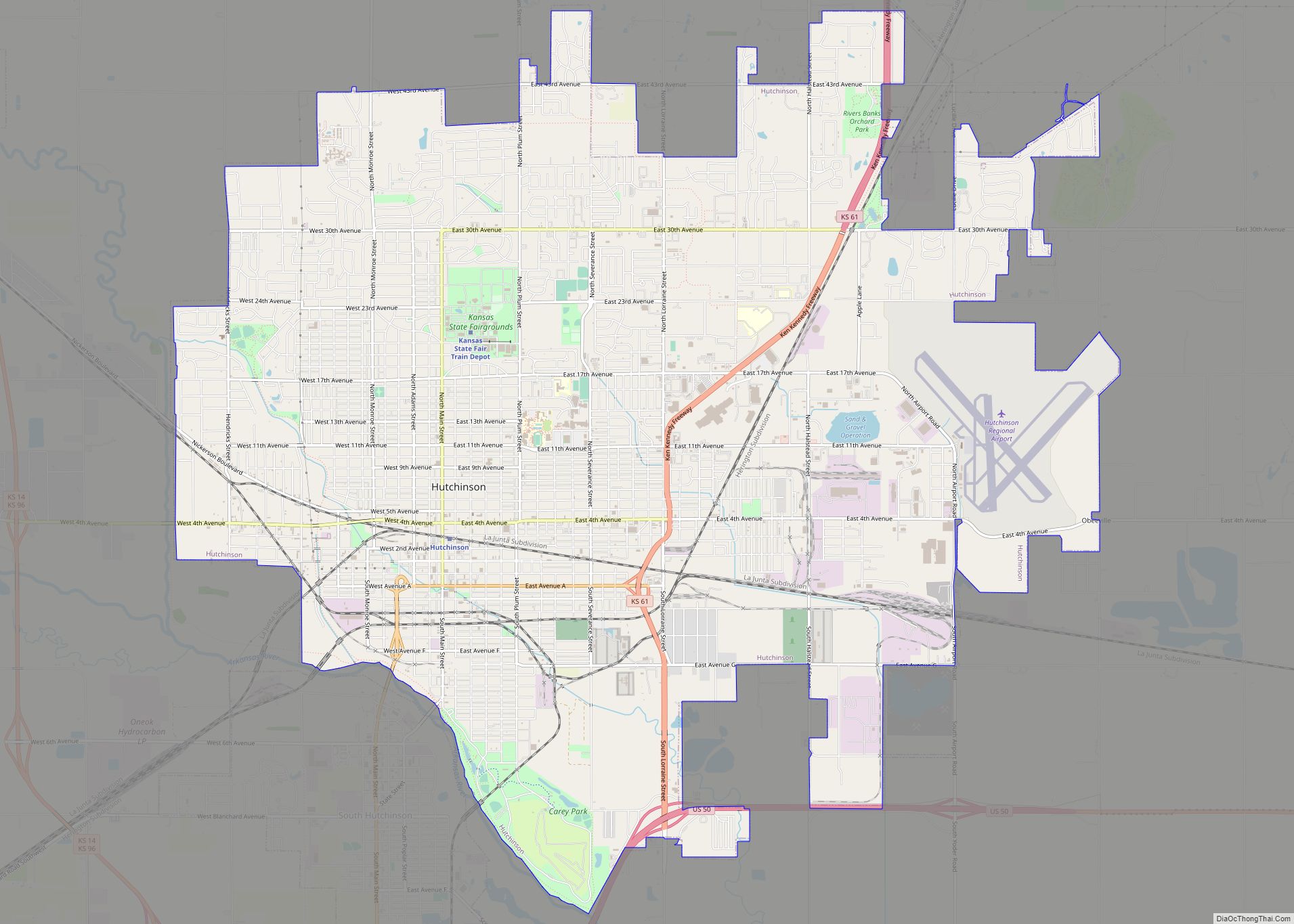
Hutchinson is the largest city and county seat in Reno County, Kansas, United States, and located on the Arkansas River. It has been home to salt mines since 1887, thus its nickname of “Salt City”, but locals call it “Hutch”. As of the 2020 census, the population of the city was 40,006. Each year, Hutchinson ... Read more
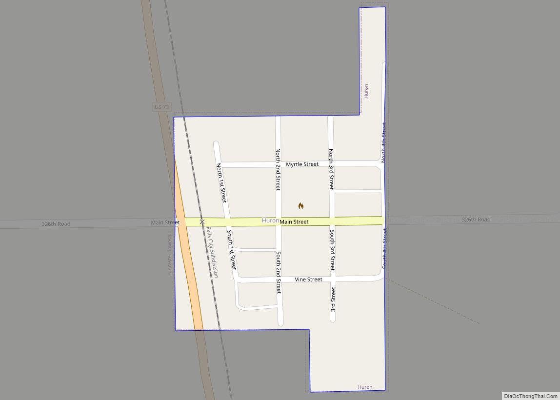
Huron is a city in Atchison County, Kansas, United States. As of the 2020 census, the population of the city was 74. Huron city overview: Name: Huron city LSAD Code: 25 LSAD Description: city (suffix) State: Kansas County: Atchison County Elevation: 1,165 ft (355 m) Total Area: 0.07 sq mi (0.19 km²) Land Area: 0.07 sq mi (0.19 km²) Water Area: 0.00 sq mi (0.00 km²) ... Read more
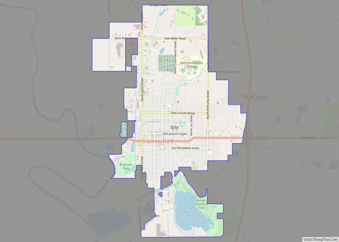
Iola (/aɪˈoʊlə/) is the county seat of Allen County, Kansas, United States. The city is situated along the Neosho River in southeast Kansas. As of the 2020 census, the population of the city was 5,396. It is named in honor of Iola Colborn. Iola city overview: Name: Iola city LSAD Code: 25 LSAD Description: city ... Read more
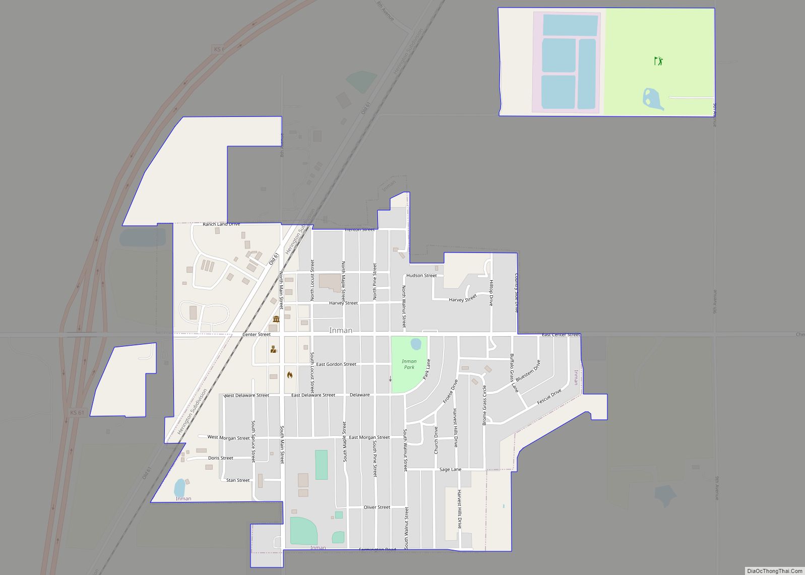
Inman is a city in McPherson County, Kansas, United States. As of the 2020 census, the population of the city was 1,341. Inman city overview: Name: Inman city LSAD Code: 25 LSAD Description: city (suffix) State: Kansas County: McPherson County Incorporated: 1887 Elevation: 1,522 ft (464 m) Total Area: 0.80 sq mi (2.06 km²) Land Area: 0.77 sq mi (1.99 km²) Water Area: ... Read more
