Independence is a city in and the county seat of Montgomery County, Kansas, United States. As of the 2020 census, the population of the city was 8,548. It was named in commemoration of the Declaration of Independence.
| Name: | Independence city |
|---|---|
| LSAD Code: | 25 |
| LSAD Description: | city (suffix) |
| State: | Kansas |
| County: | Montgomery County |
| Founded: | 1869 (Colfax) |
| Incorporated: | 1870 |
| Elevation: | 804 ft (245 m) |
| Total Area: | 7.67 sq mi (19.88 km²) |
| Land Area: | 7.67 sq mi (19.86 km²) |
| Water Area: | 0.01 sq mi (0.01 km²) |
| Total Population: | 8,548 |
| Population Density: | 1,100/sq mi (430/km²) |
| ZIP code: | 67301 |
| Area code: | 620 |
| FIPS code: | 2033875 |
| Website: | independenceks.gov |
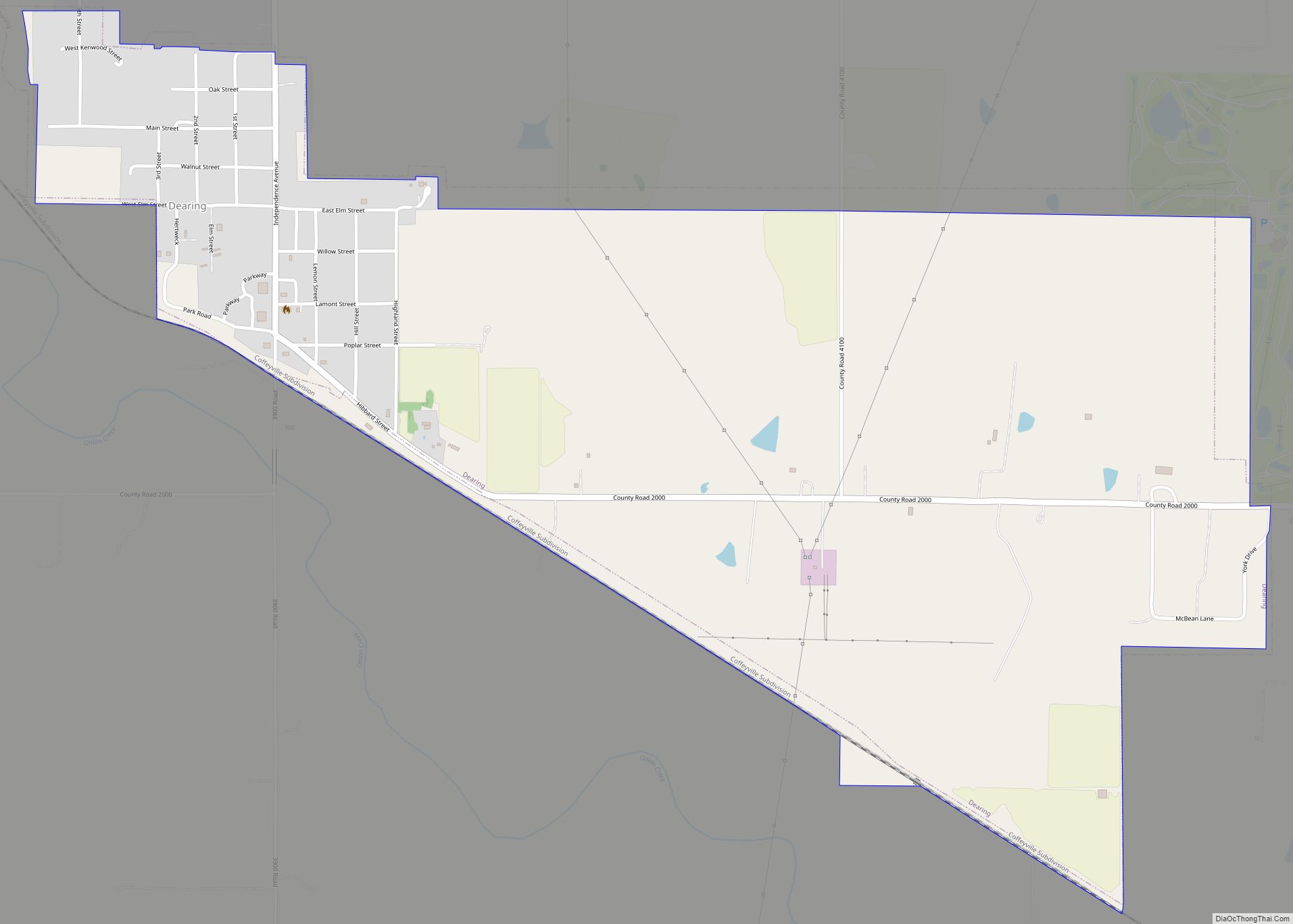
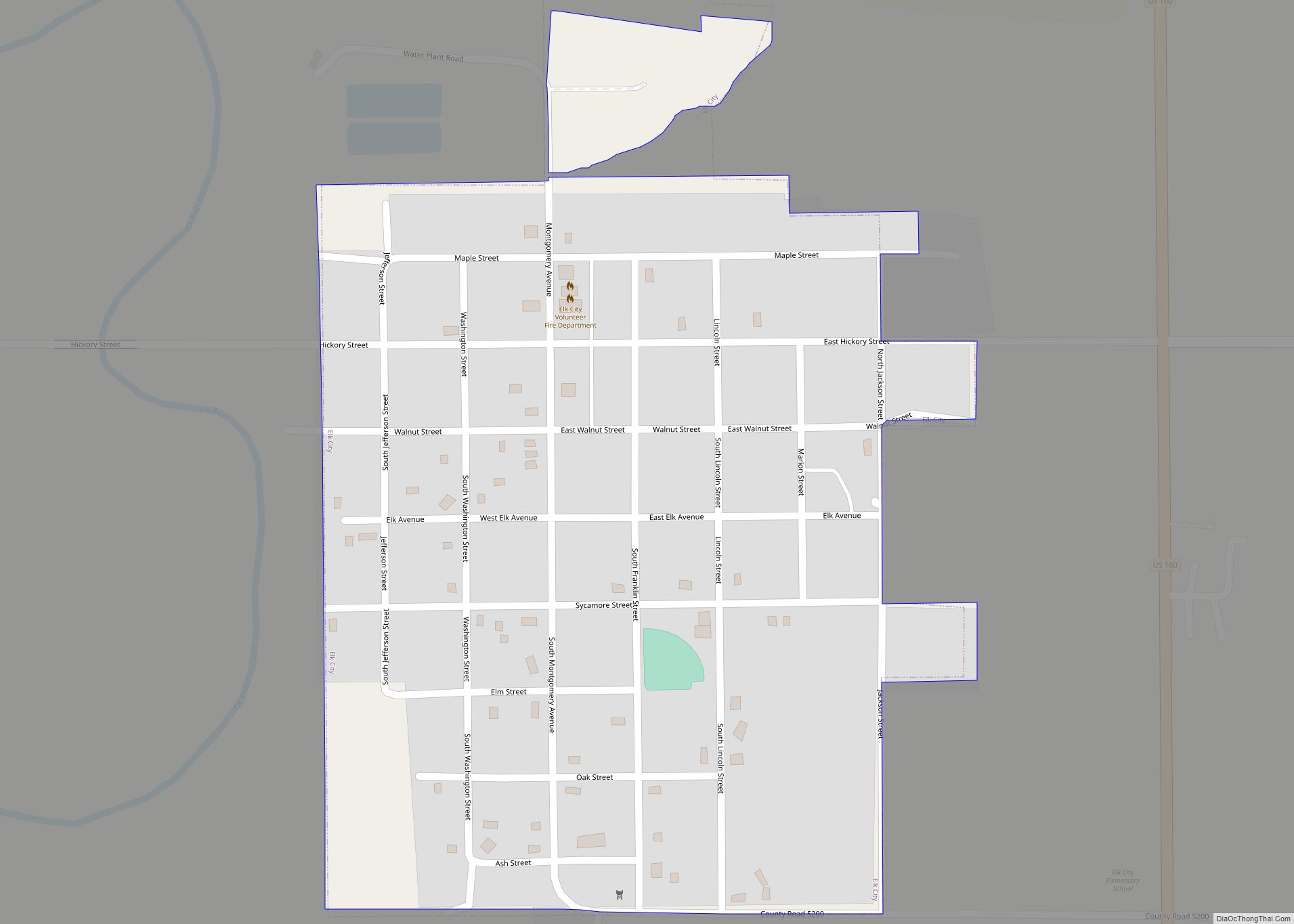
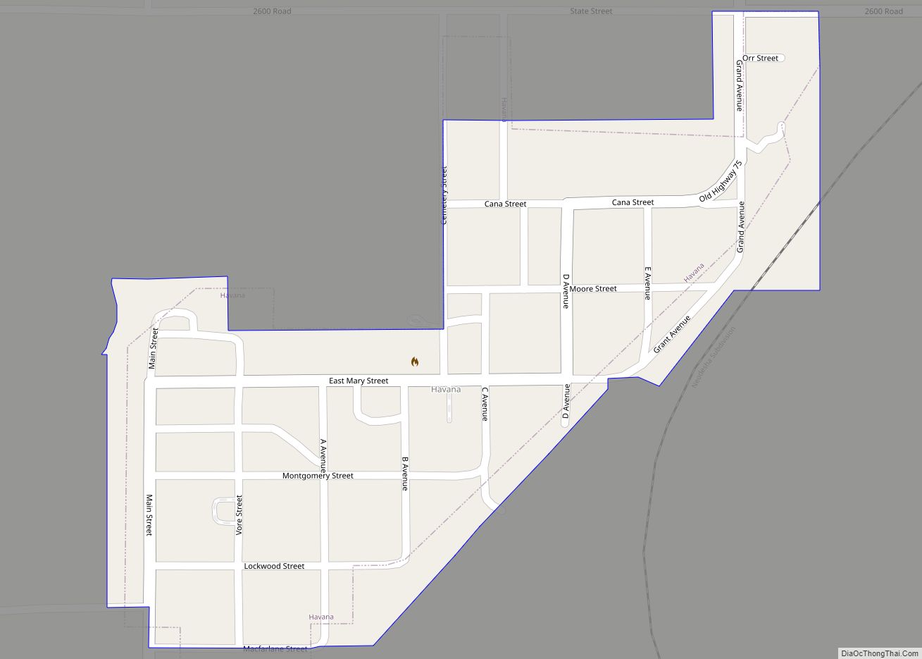
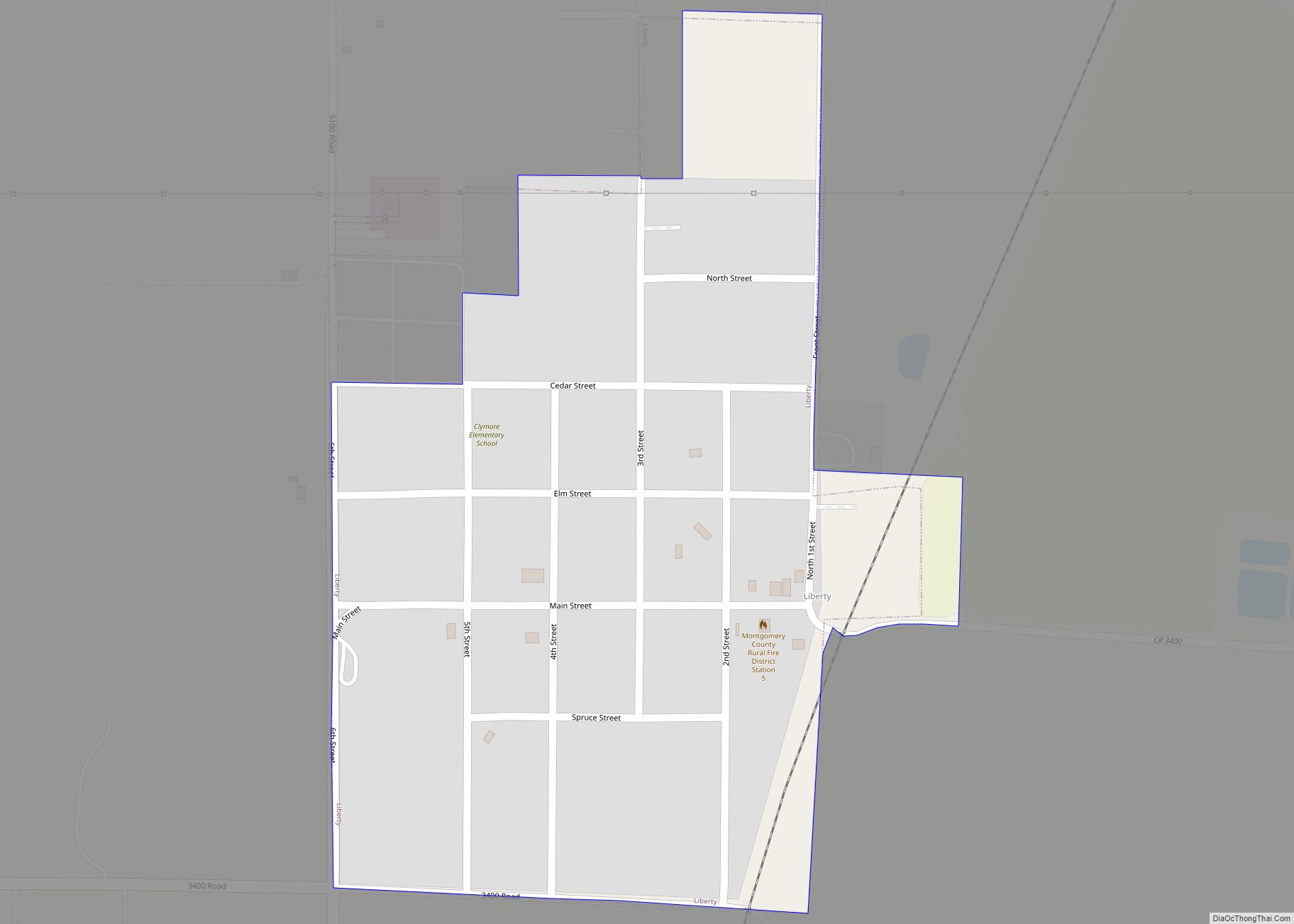
Online Interactive Map
Click on ![]() to view map in "full screen" mode.
to view map in "full screen" mode.
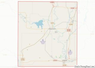
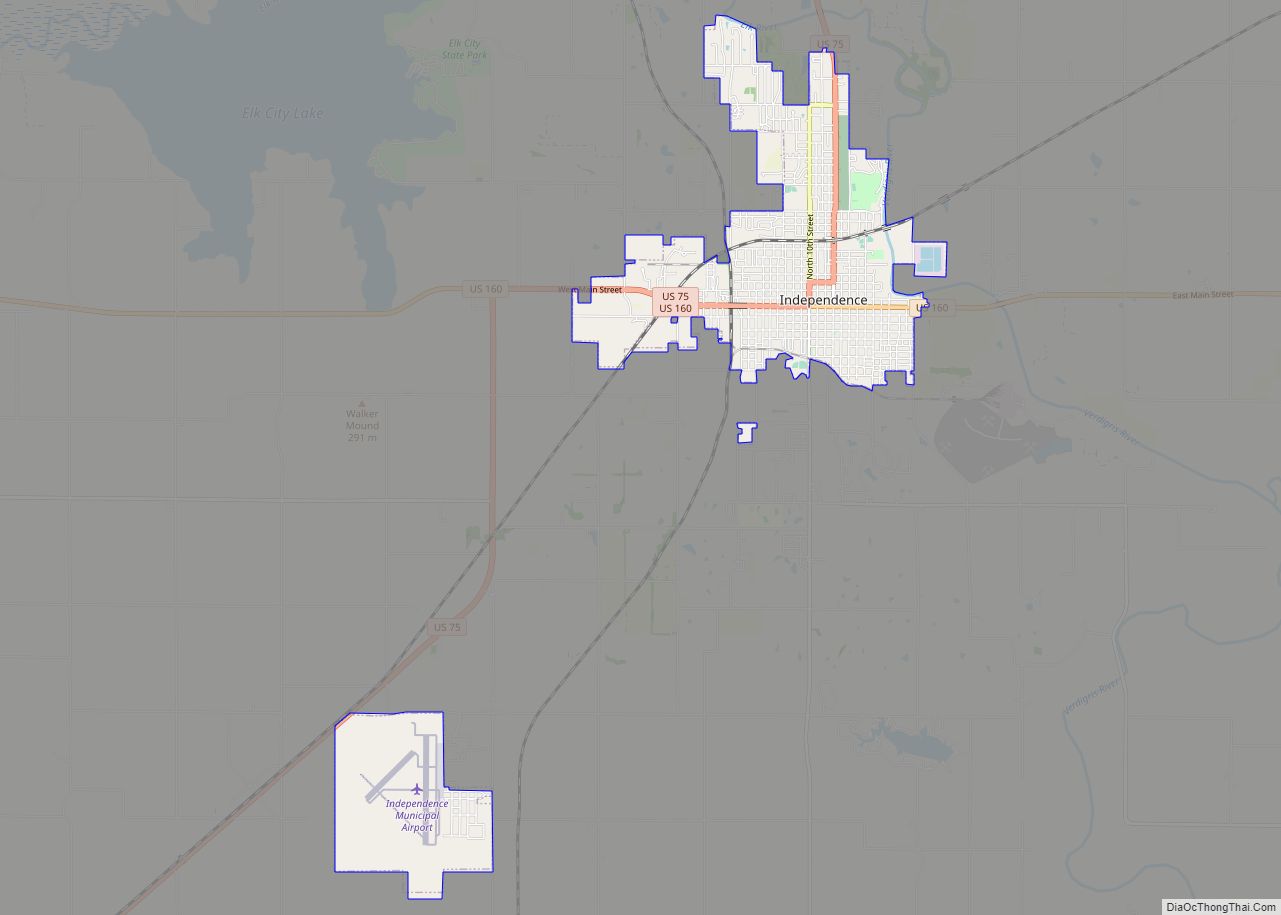
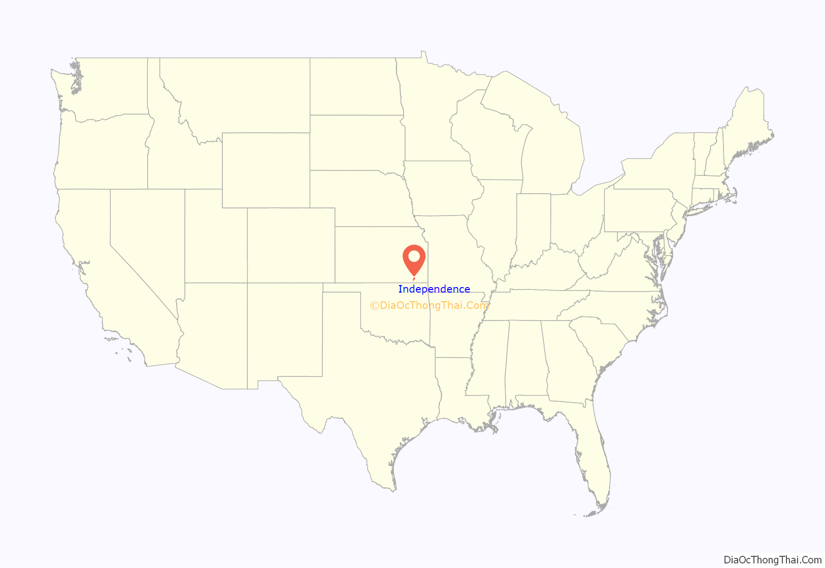
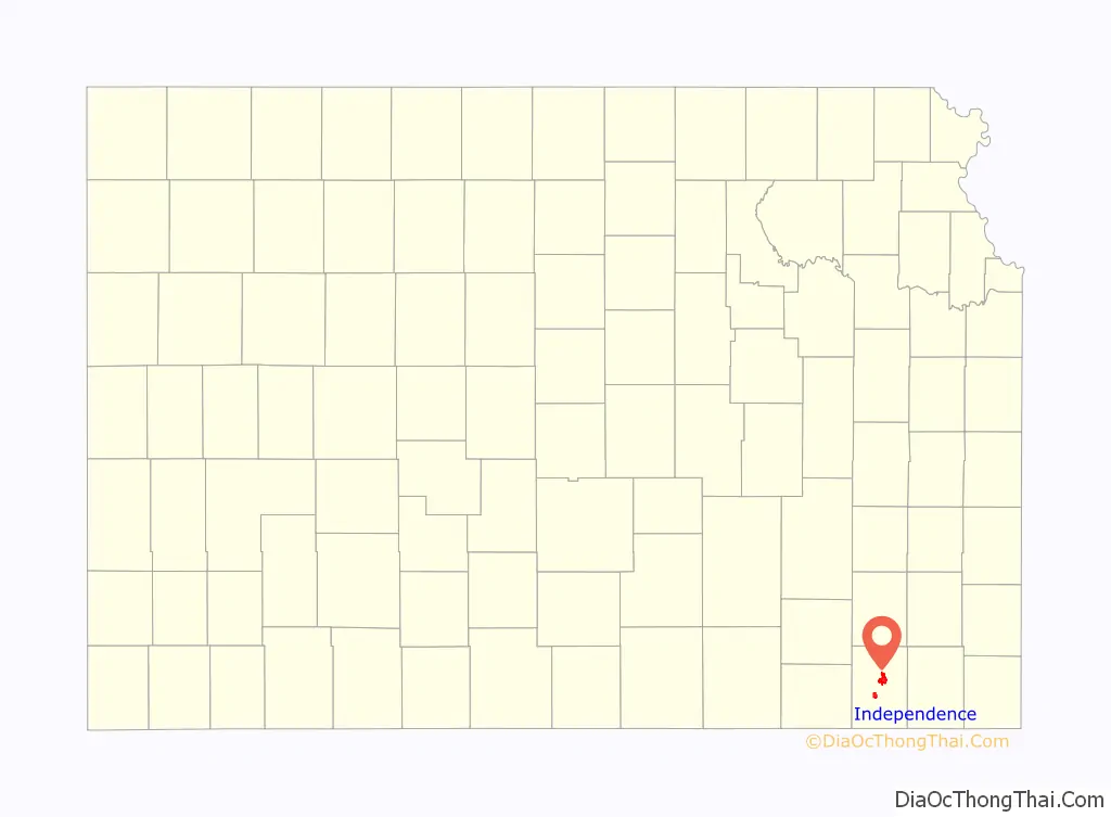
Independence location map. Where is Independence city?
History
Independence was settled on land that was purchased from the Osage Indians in September 1869 by George A. Brown for the price of $50; they were being moved to Indian Territory in present-day Oklahoma. He originally called the townsite Colfax after Schuyler Colfax, vice president under President Ulysses S. Grant. On August 21, 1869 a group of Oswego, Kansas men led by R. W. Wright settled there with the intent to make Independence the county seat. E. E. Wilson and F D. Irwin opened the first store in October 1869, Wilson & Irwin Groceries. Independence was designated county seat in 1870.
A permanent lighting system was first used for an exhibition baseball game on April 17, 1930 between the Independence Producers and House of David semi-professional baseball team of Benton Harbor, Michigan, with the Independence team winning with a score of 9 to 1 before a crowd of 1,700 spectators.
Miss Able, a rhesus monkey, was born at Ralph Mitchell Zoo. Miss Able along with Miss Baker, a squirrel monkey, became the first monkeys to fly in space; they returned alive on May 28, 1959.
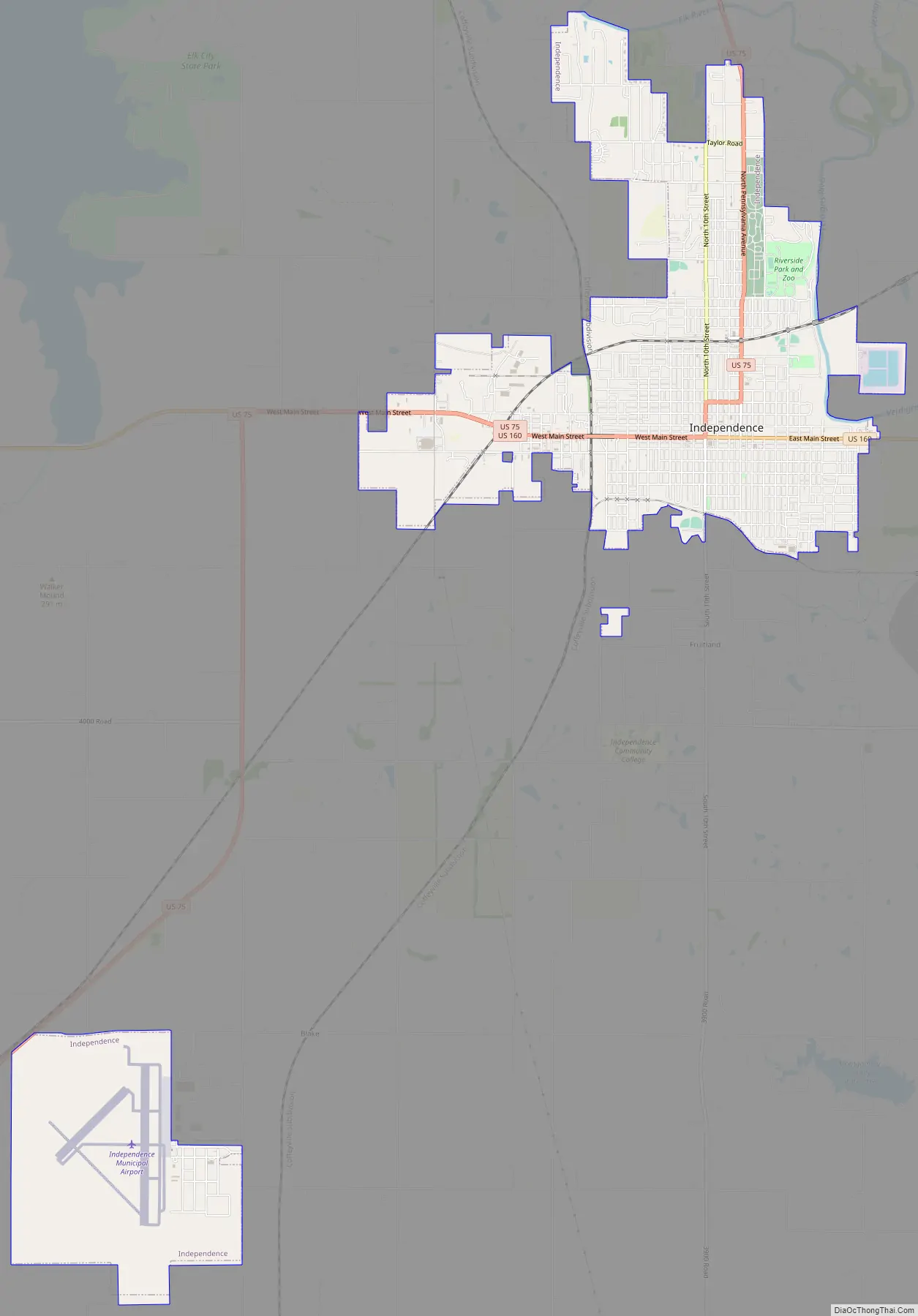
Independence Road Map
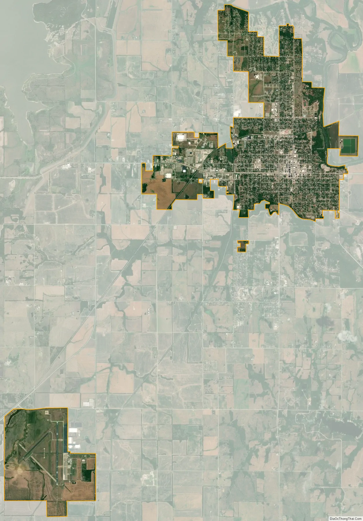
Independence city Satellite Map
Geography
Independence is located along the Verdigris River just south of its confluence with the Elk River. According to the United States Census Bureau, the city has a total area of 7.75 square miles (20.07 km), of which, 7.74 square miles (20.05 km) is land and 0.01 square miles (0.03 km) is water.
Climate
Independence has a humid subtropical climate (Köppen Cfa) characterized by hot, humid and unpleasant summers, and chilly though extremely variable winters. Precipitation is heavy in summer due to frequent incursions of very moist air from the Gulf of Mexico: as much as 7.69 inches (195.3 mm) fell on May 27, 1984 and a maximum daily fall of 3.49 inches or 88.6 millimetres can be expected in an average calendar year. The wettest month has been June 2007 when 19.53 inches (496.1 mm) was reported, whereas July 1935 saw a mere 0.03 inches (0.8 mm). The winters are drier and cold, although temperatures in winter are very erratic, ranging from an average of four afternoons in the three winter months above 70 °F or 21.1 °C to an average of three mornings below 0 °F or −17.8 °C. Winters are much drier than the summer, with November 1986 and October 1952 seeing not even a trace of precipitation.
Overall the wettest calendar year has been 1908 with 60.29 inches (1,531.4 mm) – although the incomplete year of 2007 likely had more than this – and the driest 1952 with only 18.27 inches (464.1 mm). The hottest month has been July 1936 with an average of 88 °F (31.1 °C) and a mean maximum of 104.8 °F or 40.4 °C, while the coldest has been January 1979 with an average of 18.8 °F (−7.3 °C), a mean maximum of only 28.9 °F (−1.7 °C) and a mean minimum of 8.7 °F or −12.9 °C. The hottest monthly mean minimum was in July 2011 with a mean low as high as 74.3 °F or 23.5 °C.
See also
Map of Kansas State and its subdivision:- Allen
- Anderson
- Atchison
- Barber
- Barton
- Bourbon
- Brown
- Butler
- Chase
- Chautauqua
- Cherokee
- Cheyenne
- Clark
- Clay
- Cloud
- Coffey
- Comanche
- Cowley
- Crawford
- Decatur
- Dickinson
- Doniphan
- Douglas
- Edwards
- Elk
- Ellis
- Ellsworth
- Finney
- Ford
- Franklin
- Geary
- Gove
- Graham
- Grant
- Gray
- Greeley
- Greenwood
- Hamilton
- Harper
- Harvey
- Haskell
- Hodgeman
- Jackson
- Jefferson
- Jewell
- Johnson
- Kearny
- Kingman
- Kiowa
- Labette
- Lane
- Leavenworth
- Lincoln
- Linn
- Logan
- Lyon
- Marion
- Marshall
- McPherson
- Meade
- Miami
- Mitchell
- Montgomery
- Morris
- Morton
- Nemaha
- Neosho
- Ness
- Norton
- Osage
- Osborne
- Ottawa
- Pawnee
- Phillips
- Pottawatomie
- Pratt
- Rawlins
- Reno
- Republic
- Rice
- Riley
- Rooks
- Rush
- Russell
- Saline
- Scott
- Sedgwick
- Seward
- Shawnee
- Sheridan
- Sherman
- Smith
- Stafford
- Stanton
- Stevens
- Sumner
- Thomas
- Trego
- Wabaunsee
- Wallace
- Washington
- Wichita
- Wilson
- Woodson
- Wyandotte
- Alabama
- Alaska
- Arizona
- Arkansas
- California
- Colorado
- Connecticut
- Delaware
- District of Columbia
- Florida
- Georgia
- Hawaii
- Idaho
- Illinois
- Indiana
- Iowa
- Kansas
- Kentucky
- Louisiana
- Maine
- Maryland
- Massachusetts
- Michigan
- Minnesota
- Mississippi
- Missouri
- Montana
- Nebraska
- Nevada
- New Hampshire
- New Jersey
- New Mexico
- New York
- North Carolina
- North Dakota
- Ohio
- Oklahoma
- Oregon
- Pennsylvania
- Rhode Island
- South Carolina
- South Dakota
- Tennessee
- Texas
- Utah
- Vermont
- Virginia
- Washington
- West Virginia
- Wisconsin
- Wyoming