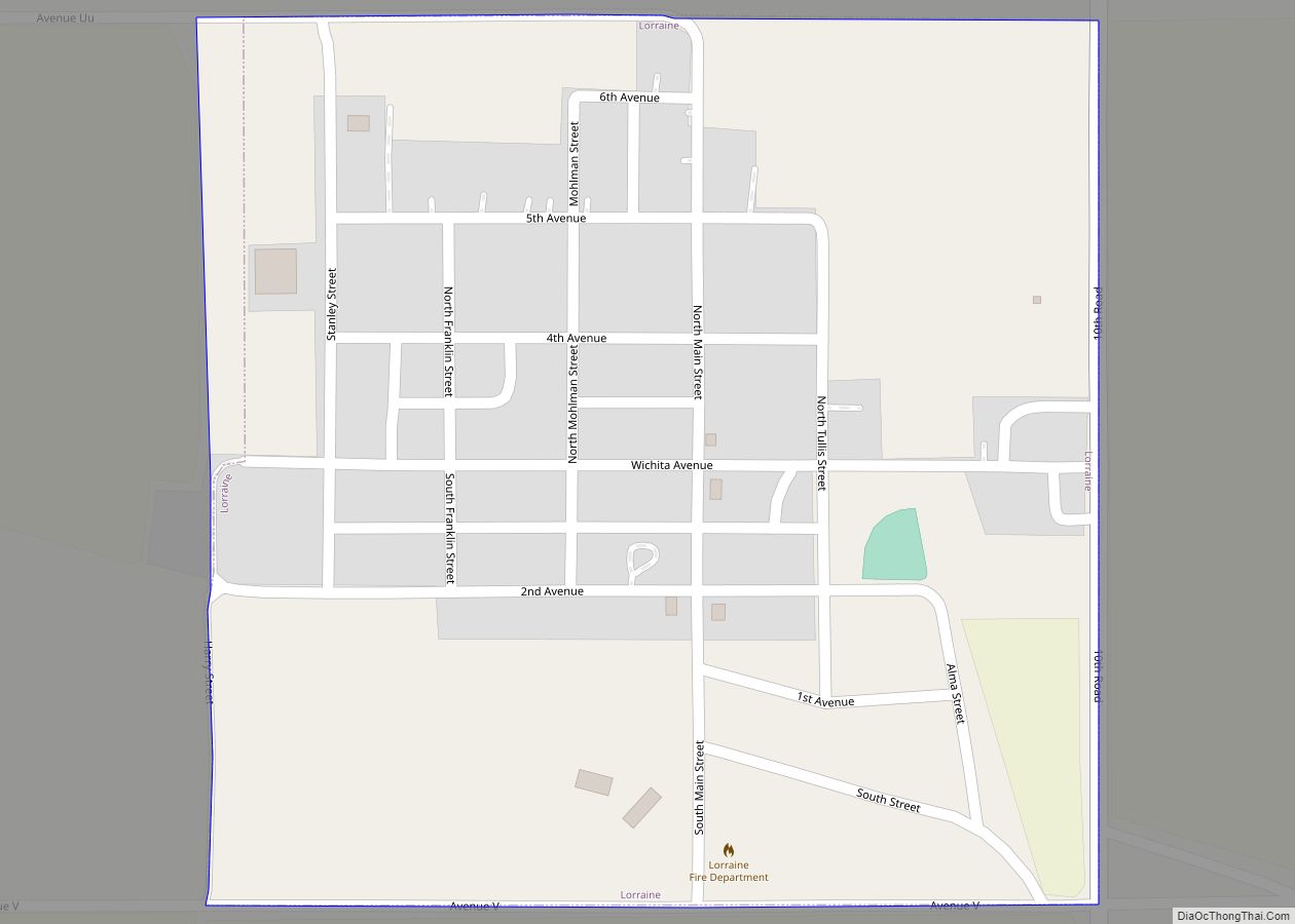
Lorraine is a city in Ellsworth County, Kansas, United States. As of the 2020 census, the population of the city was 137. Lorraine city overview: Name: Lorraine city LSAD Code: 25 LSAD Description: city (suffix) State: Kansas County: Ellsworth County Founded: 1888 Incorporated: 1923 Elevation: 1,788 ft (545 m) Total Area: 0.25 sq mi (0.65 km²) Land Area: 0.25 sq mi (0.65 km²) ... Read more
Kansas Cities and Places
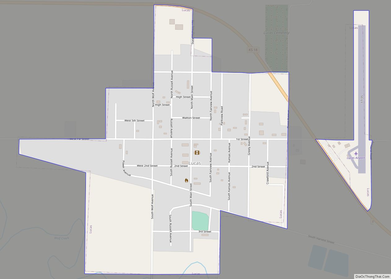
Lucas is a city in Russell County, Kansas, United States. As of the 2020 census, the population of the city was 332. Lucas city overview: Name: Lucas city LSAD Code: 25 LSAD Description: city (suffix) State: Kansas County: Russell County Founded: 1877 Incorporated: 1899 Elevation: 1,493 ft (455 m) Total Area: 0.61 sq mi (1.58 km²) Land Area: 0.61 sq mi (1.58 km²) ... Read more
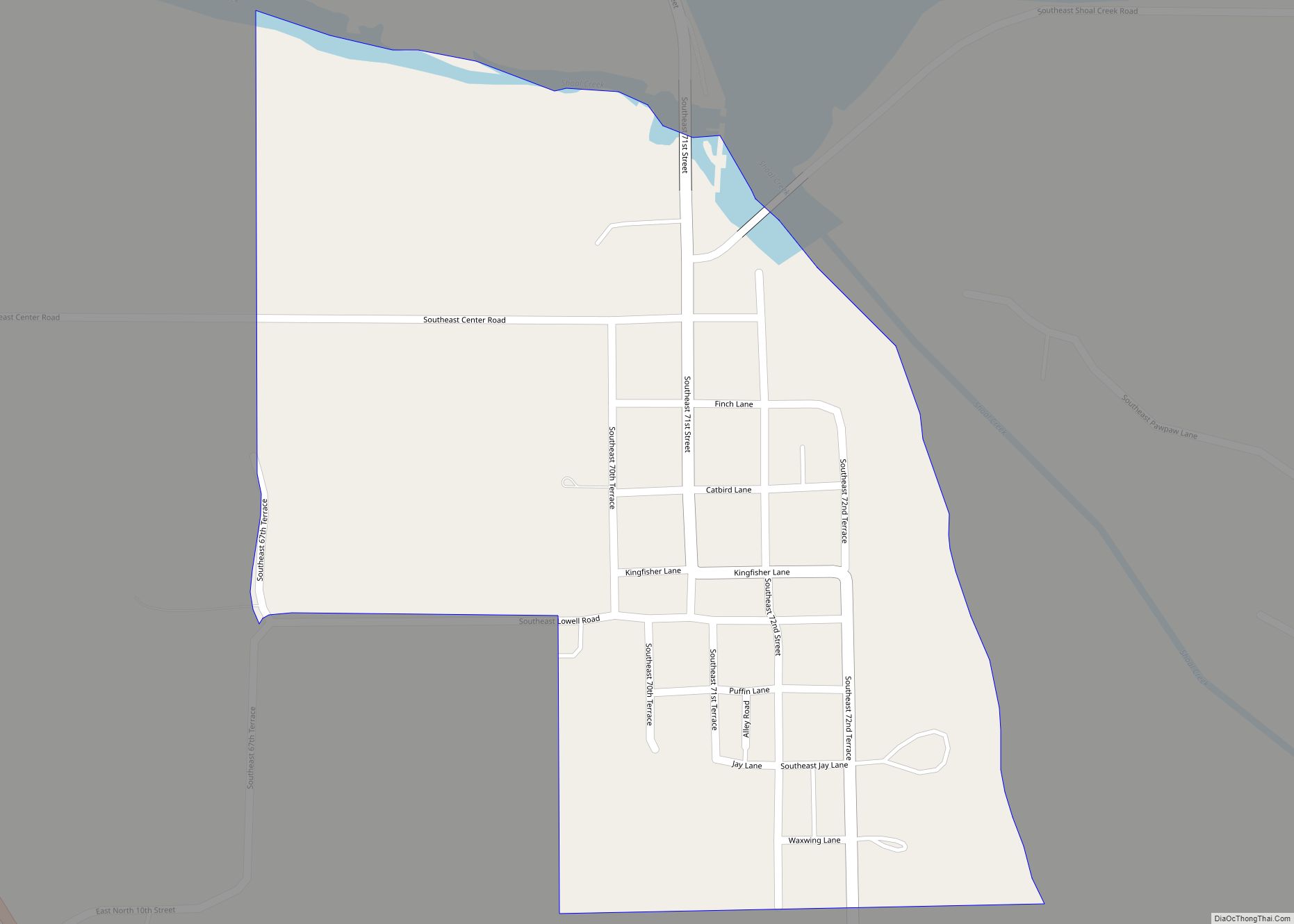
Lowell is an unincorporated community in Cherokee County, Kansas, United States. As of the 2020 census, the population of the community and nearby areas was 244. Lowell CDP overview: Name: Lowell CDP LSAD Code: 57 LSAD Description: CDP (suffix) State: Kansas County: Cherokee County Elevation: 850 ft (260 m) Total Area: 244 ZIP code: 66713, 66739 Area ... Read more
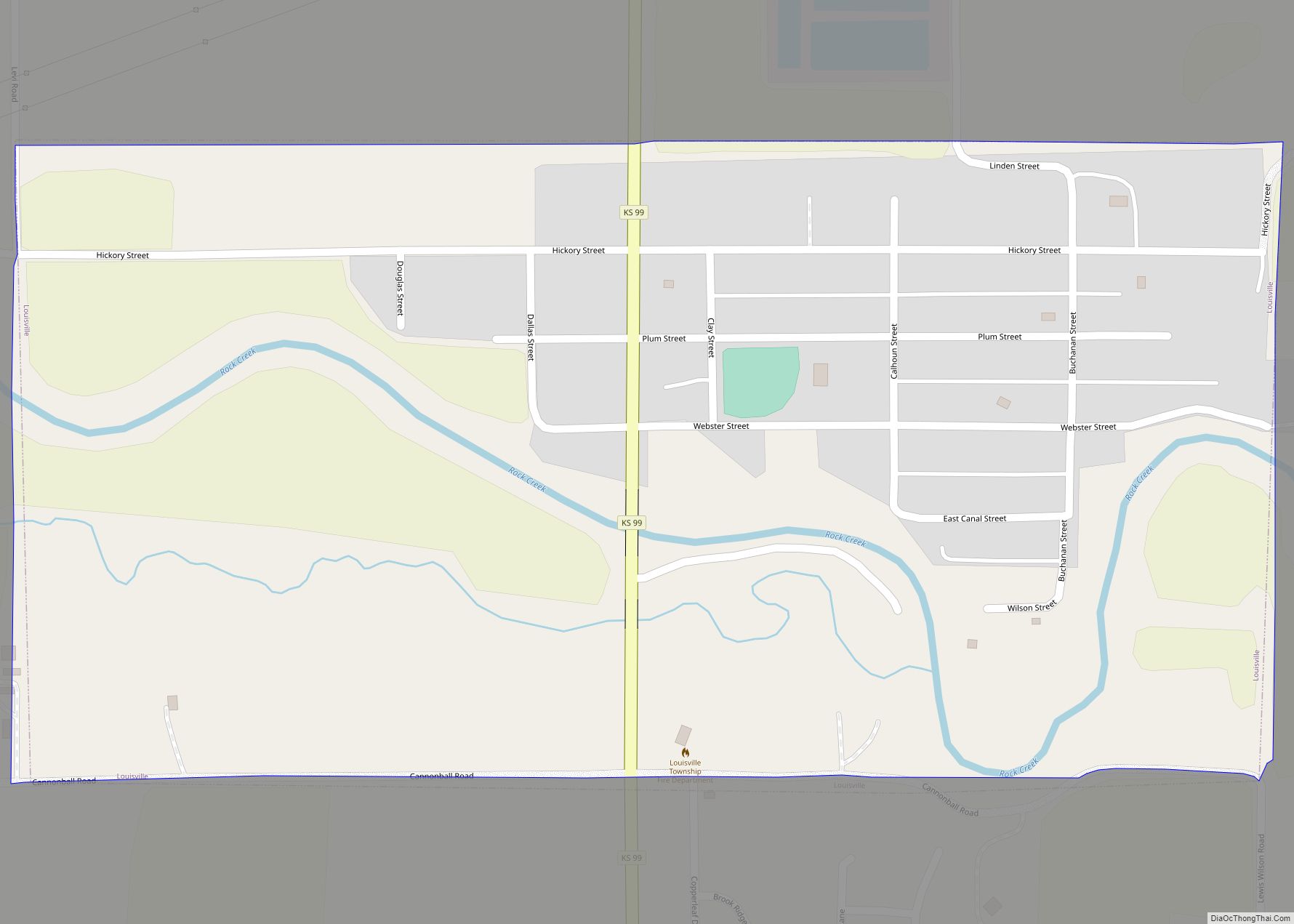
Louisville is a city in Pottawatomie County, Kansas, United States. As of the 2020 census, the population of the city was 131. Louisville city overview: Name: Louisville city LSAD Code: 25 LSAD Description: city (suffix) State: Kansas County: Pottawatomie County Founded: 1857 Incorporated: 1870 Elevation: 1,011 ft (308 m) Total Area: 0.50 sq mi (1.29 km²) Land Area: 0.50 sq mi (1.29 km²) ... Read more
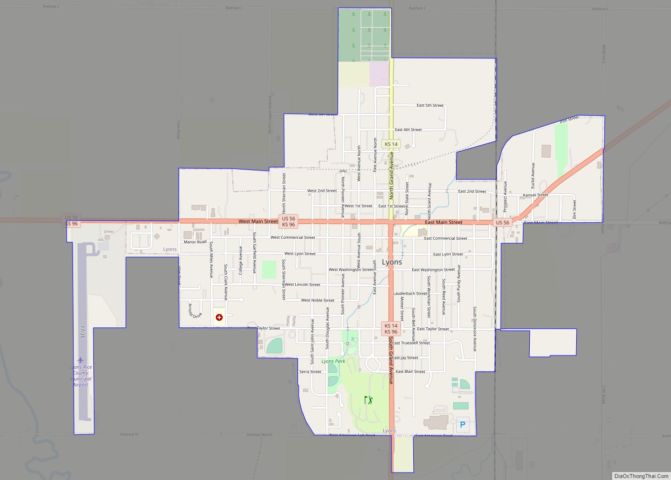
Lyons is a city in and the county seat of Rice County, Kansas, United States. As of the 2020 census, the population of the city was 3,611. Lyons city overview: Name: Lyons city LSAD Code: 25 LSAD Description: city (suffix) State: Kansas County: Rice County Founded: 1870 Incorporated: 1880 Elevation: 1,680 ft (510 m) Total Area: 2.58 sq mi ... Read more
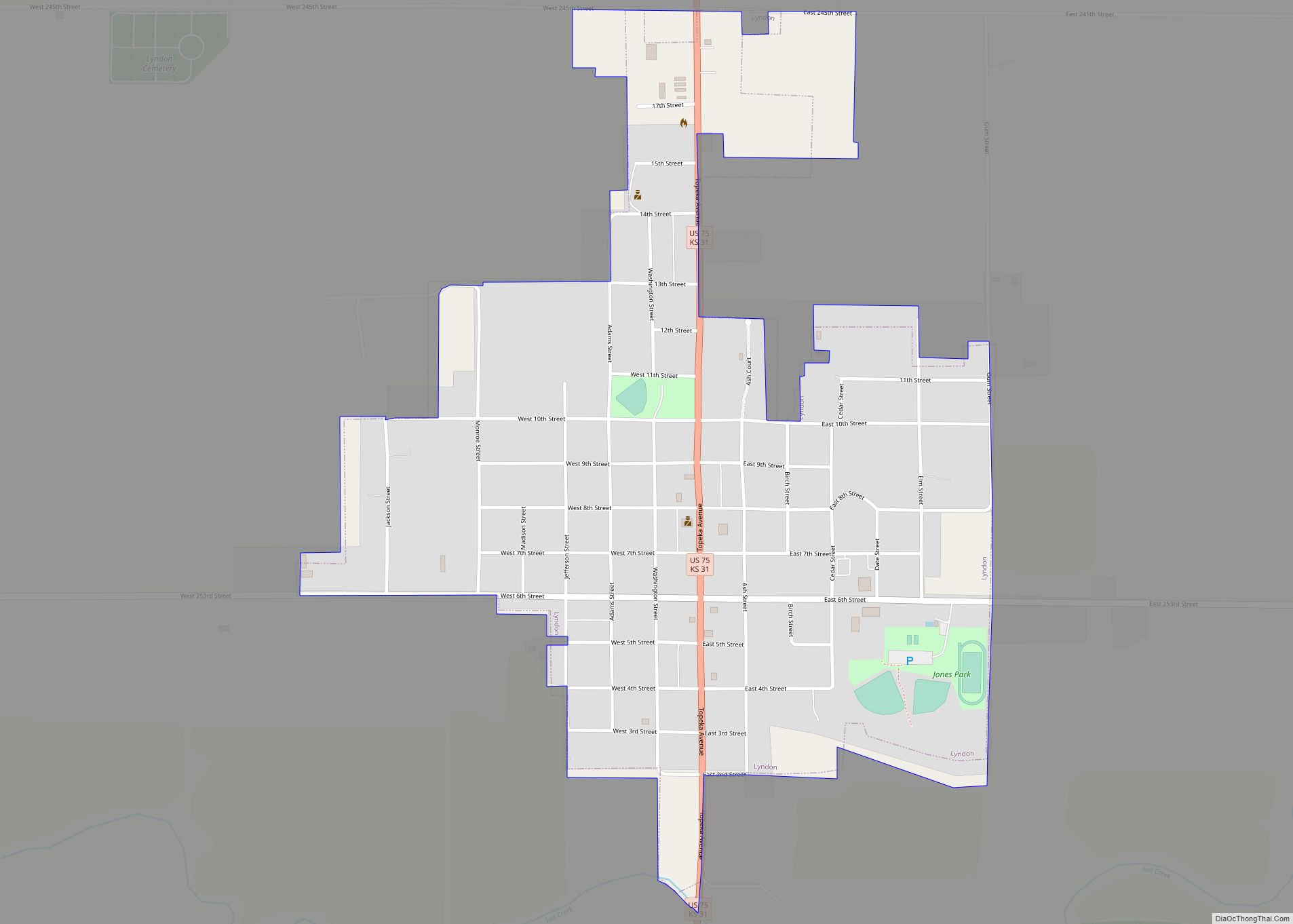
Lyndon is a city in, and the county seat of Osage County, Kansas, United States. As of the 2020 census, the population of the city was 1,037. Lyndon city overview: Name: Lyndon city LSAD Code: 25 LSAD Description: city (suffix) State: Kansas County: Osage County Founded: 1869 Incorporated: 1870 Elevation: 1,040 ft (320 m) Total Area: 0.89 sq mi ... Read more
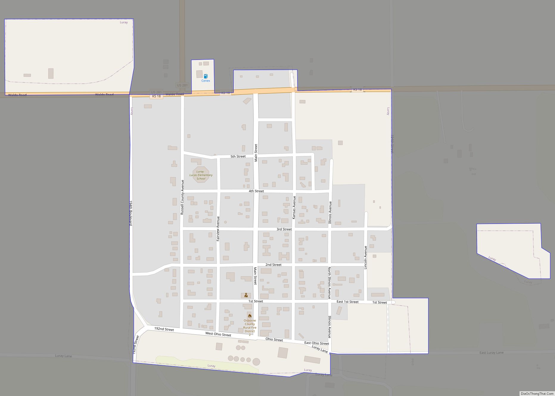
Luray is a city in Russell County, Kansas, United States. As of the 2020 census, the population of the city was 166. Luray city overview: Name: Luray city LSAD Code: 25 LSAD Description: city (suffix) State: Kansas County: Russell County Founded: 1870s Incorporated: 1904 Elevation: 1,572 ft (479 m) Total Area: 0.33 sq mi (0.86 km²) Land Area: 0.33 sq mi (0.86 km²) ... Read more
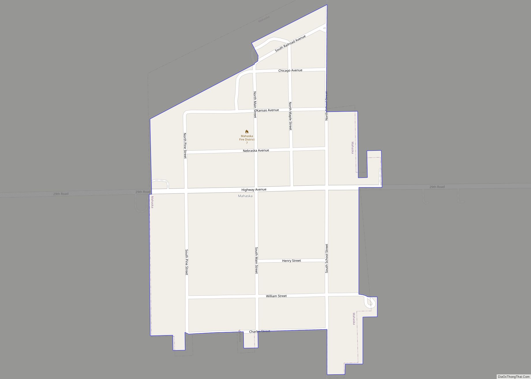
Mahaska is a city in Washington County, Kansas, United States. As of the 2020 census, the population of the city was 46. It is located 1 mile south of the Nebraska state line. Mahaska city overview: Name: Mahaska city LSAD Code: 25 LSAD Description: city (suffix) State: Kansas County: Washington County Founded: 1887 Incorporated: 1909 ... Read more
Madison is a city in Greenwood County, Kansas, United States, along the Verdigris River. As of the 2020 census, the population of the city was 689. Madison city overview: Name: Madison city LSAD Code: 25 LSAD Description: city (suffix) State: Kansas County: Greenwood County Founded: 1872 Incorporated: 1885 Elevation: 1,093 ft (333 m) Total Area: 0.59 sq mi (1.52 km²) ... Read more
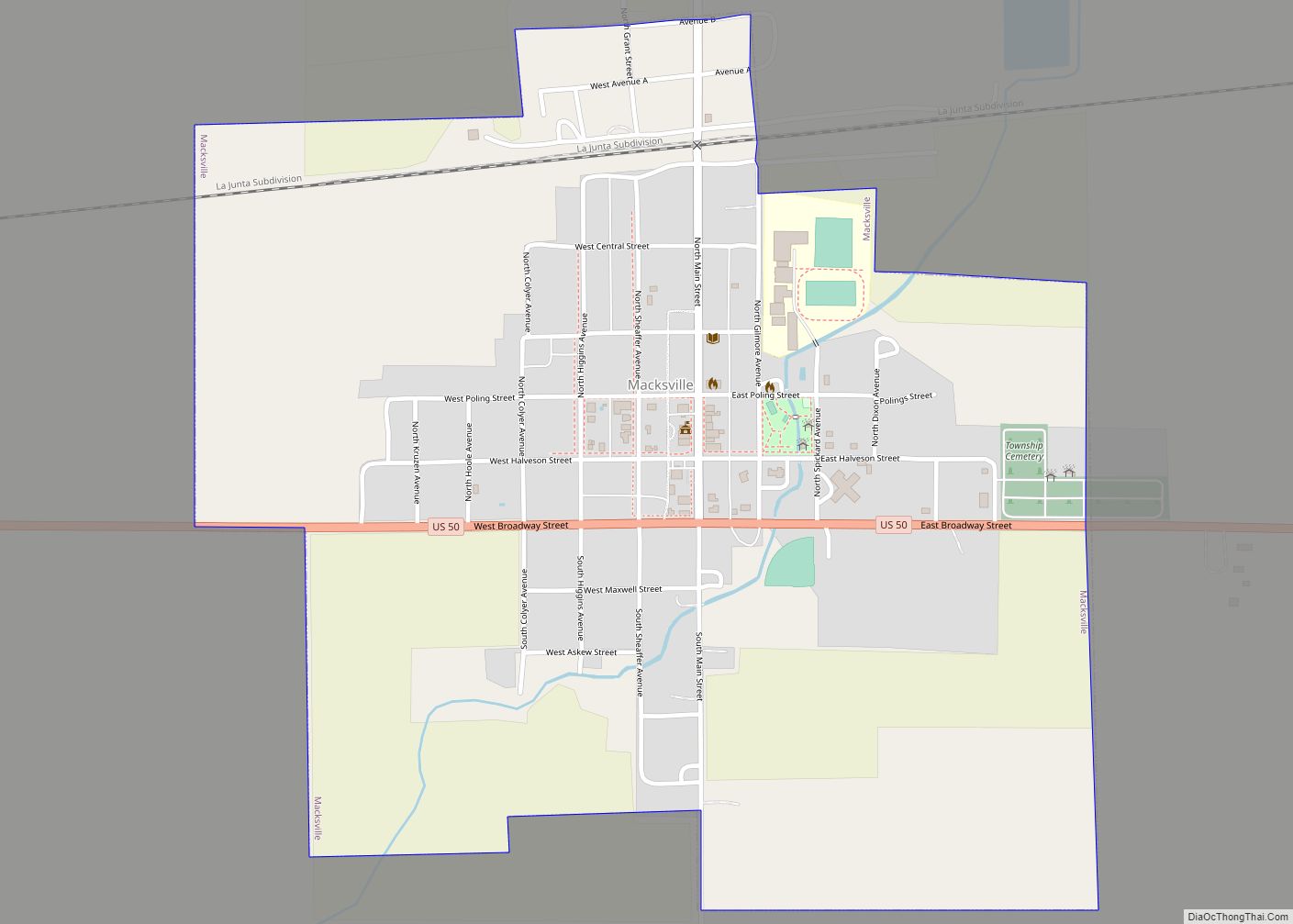
Macksville is a city in Stafford County, Kansas, United States. As of the 2020 census, the population of the city was 471. Macksville city overview: Name: Macksville city LSAD Code: 25 LSAD Description: city (suffix) State: Kansas County: Stafford County Founded: 1885 Incorporated: 1886 Elevation: 2,028 ft (618 m) Total Area: 1.00 sq mi (2.59 km²) Land Area: 1.00 sq mi (2.59 km²) ... Read more
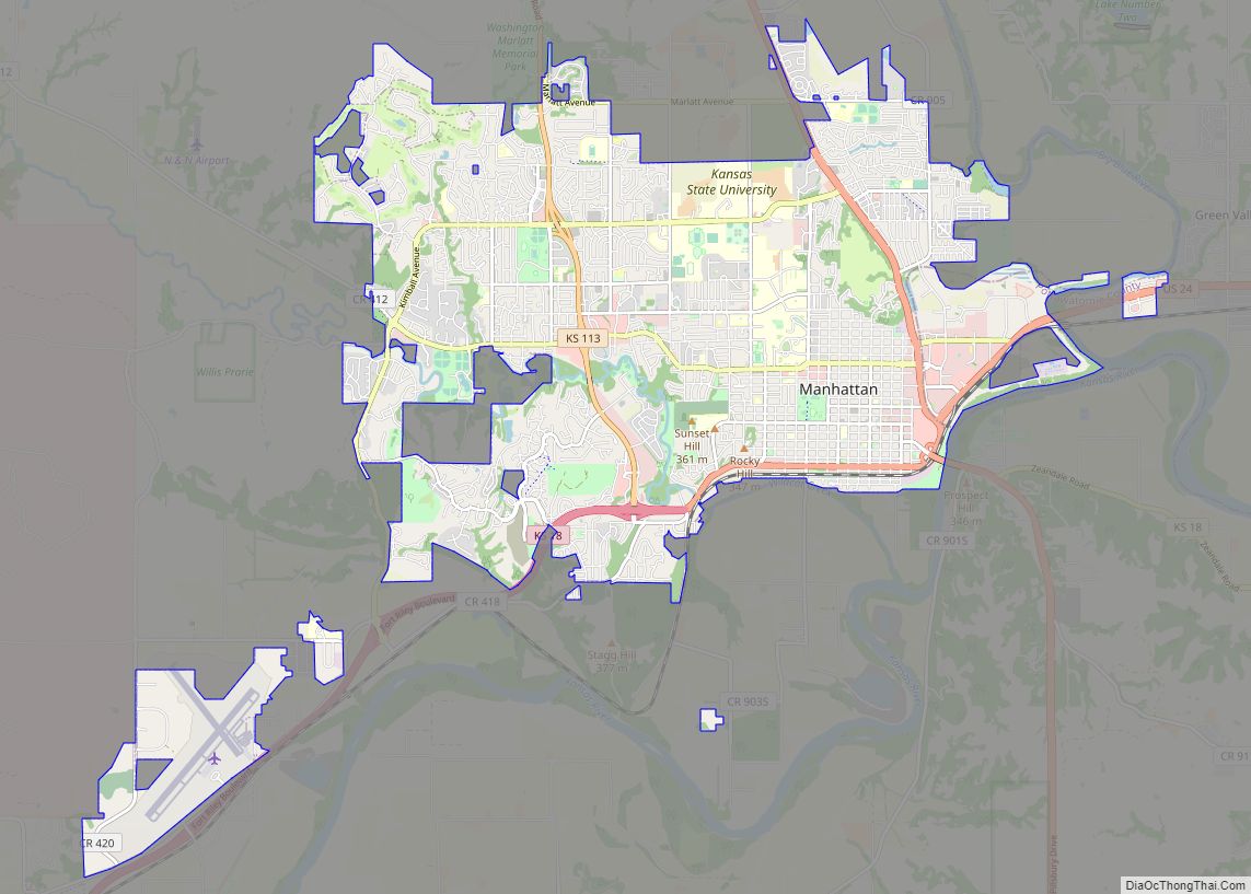
Manhattan is a city in, and the county seat of, Riley County, Kansas, United States, although the city extends into Pottawatomie County. It is located in northeastern Kansas at the junction of the Kansas River and Big Blue River. As of the 2020 Census, the population of the city was 54,100. The city was founded ... Read more
Manchester is a city in Dickinson County, Kansas, United States. As of the 2020 census, the population of the city was 47. Manchester city overview: Name: Manchester city LSAD Code: 25 LSAD Description: city (suffix) State: Kansas County: Dickinson County Elevation: 1,289 ft (393 m) Total Area: 0.16 sq mi (0.42 km²) Land Area: 0.16 sq mi (0.42 km²) Water Area: 0.00 sq mi (0.00 km²) ... Read more
