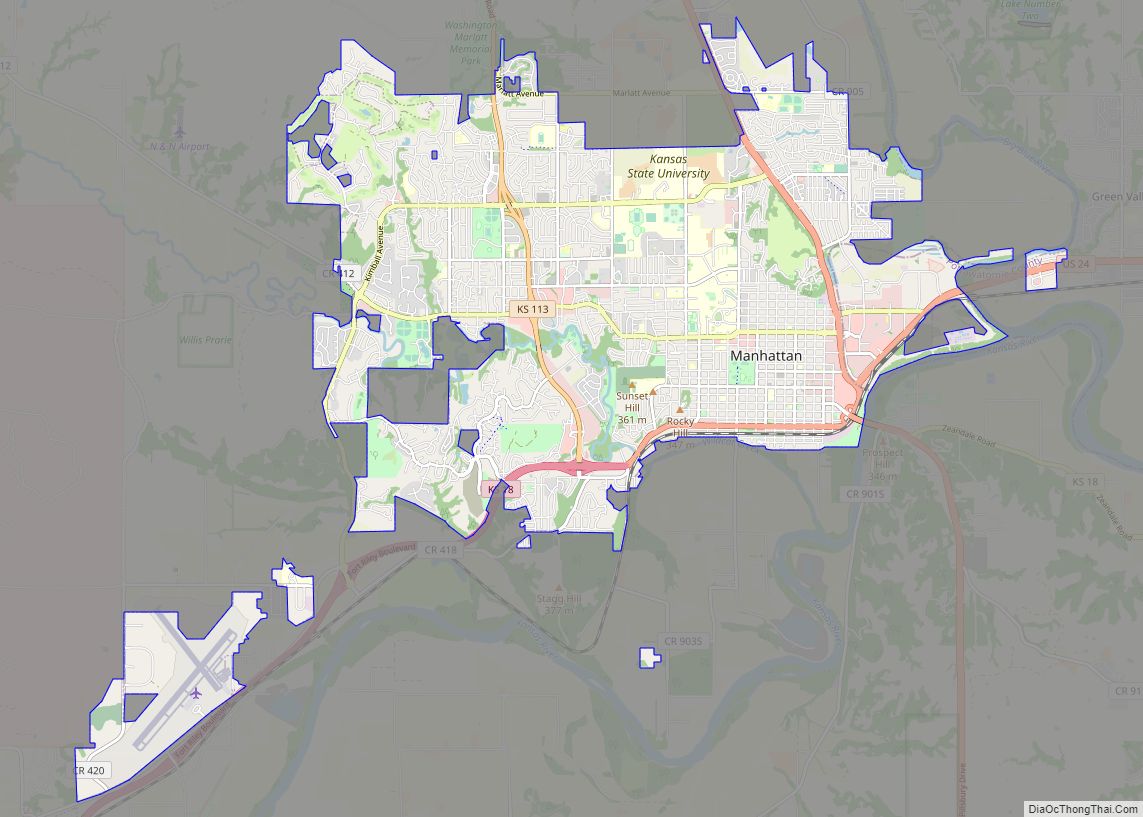
Manhattan is a city in, and the county seat of, Riley County, Kansas, United States, although the city extends into Pottawatomie County. It is located in northeastern Kansas at the junction of the Kansas River and Big Blue River. As of the 2020 Census, the population of the city was 54,100.
The city was founded by settlers from the New England Emigrant Aid Company as a Free-State town in the 1850s, during the Bleeding Kansas era. Nicknamed “The Little Apple” as a play on New York City’s moniker of the “Big Apple”, Manhattan is the home of Kansas State University and has a distinct college town atmosphere.
| Name: | Manhattan city |
|---|---|
| LSAD Code: | 25 |
| LSAD Description: | city (suffix) |
| State: | Kansas |
| County: | Pottawatomie County, Riley County |
| Founded: | 1855 |
| Incorporated: | 1857 |
| Elevation: | 1,024 ft (312 m) |
| Land Area: | 19.85 sq mi (51.40 km²) |
| Water Area: | 0.06 sq mi (0.16 km²) |
| Population Density: | 2,700/sq mi (1,000/km²) |
| ZIP code: | 66502–66503,#&66505-66506 |
| Area code: | 785 |
| FIPS code: | 2044250 |
| Website: | cityofmhk.com |
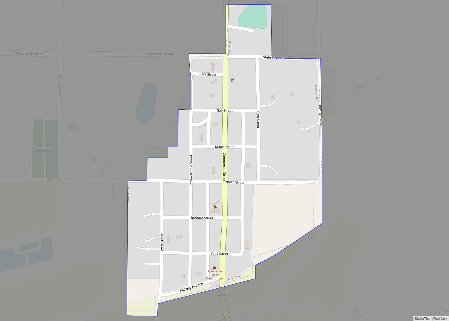
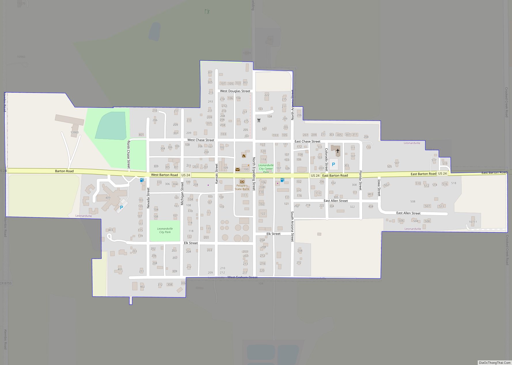
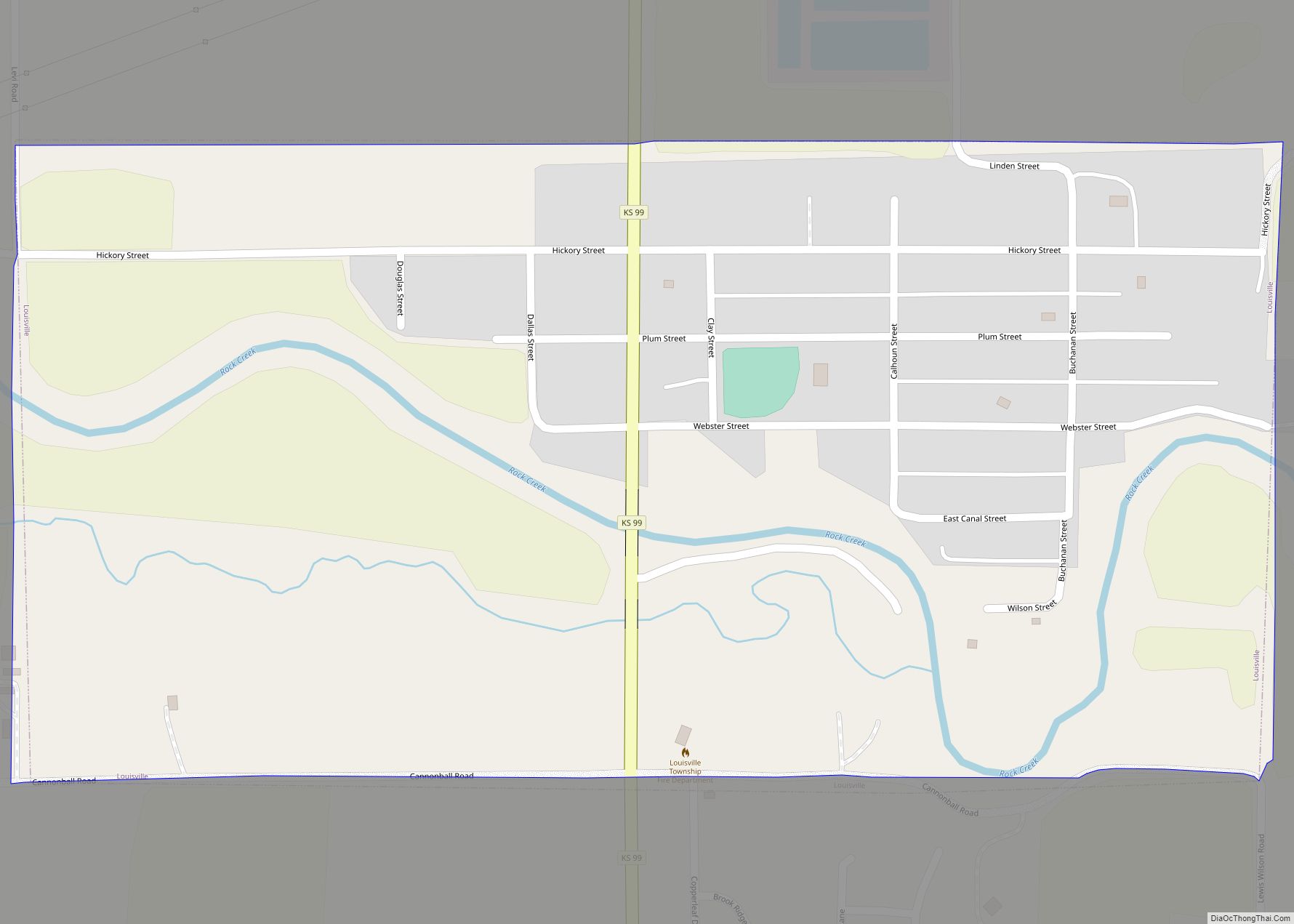
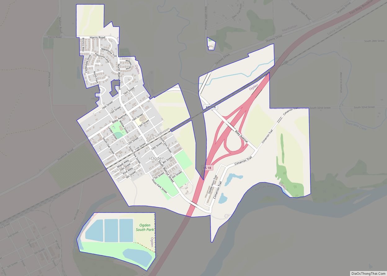
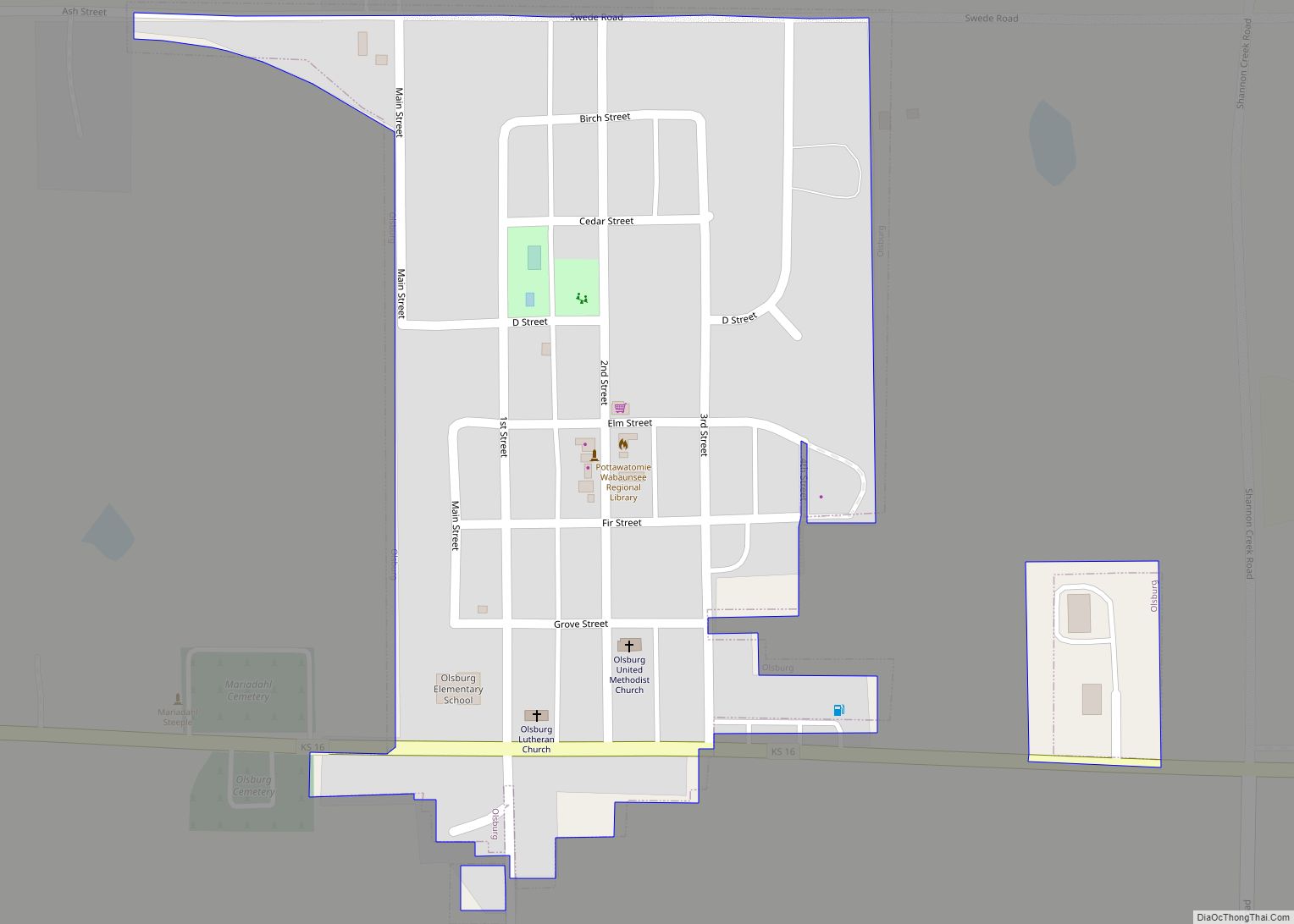
Online Interactive Map
Click on ![]() to view map in "full screen" mode.
to view map in "full screen" mode.
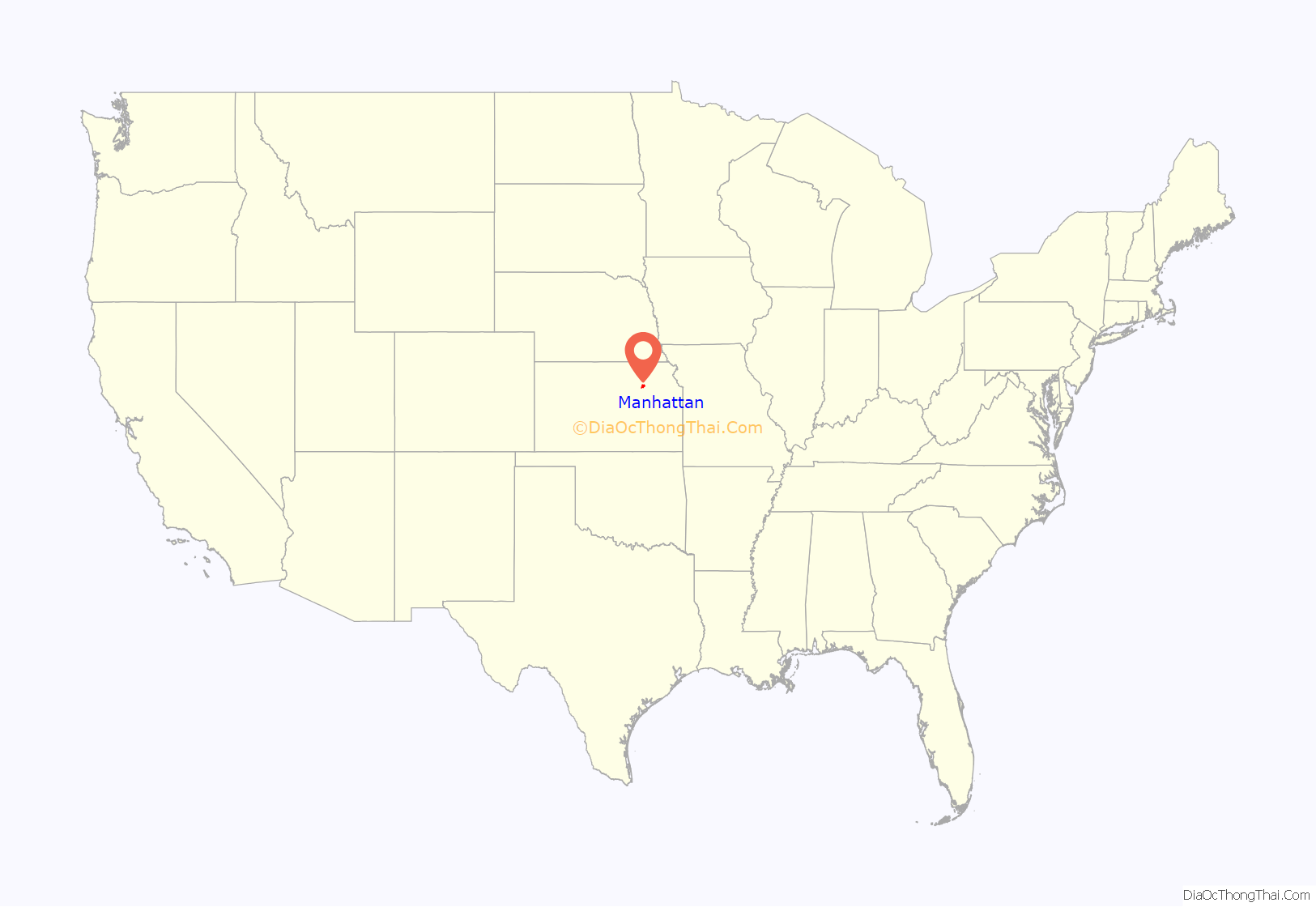
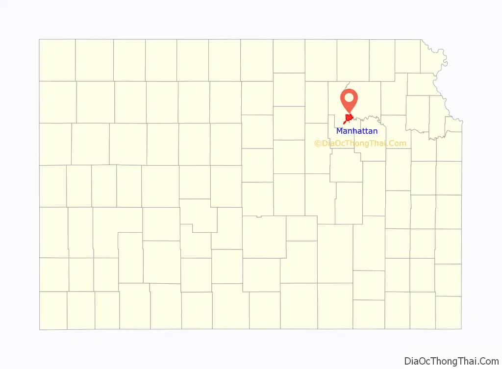
Manhattan location map. Where is Manhattan city?
History
Native American settlement
Before settlement by European-Americans in the 1850s, the land around Manhattan was home to Native American tribes. From 1780 to 1830, it was home to the Kaw people, also known as the Kansa. The Kaw settlement was called Blue Earth Village (Manyinkatuhuudje), named after the river which the tribe had named the Great Blue Earth River, today known as the Big Blue River, which intersected with the Kansas River by their village. Blue Earth Village was the site of a large battle between the Kaw and the Pawnee in 1812.
The Kaw tribe ceded ownership of this land in a treaty signed at the Shawnee Methodist Mission on January 14, 1846.
1854: Polistra and Canton
The Kansas–Nebraska Act opened the territory to settlement by U.S. citizens in 1854. That fall, George S. Park founded the first Euro-American settlement within the borders of the current Manhattan. Park named it Polistra (some histories refer to it as Poliska or Poleska).
Later that year, Samuel D. Houston and three other pioneers founded Canton, a neighboring community near the mouth of the Big Blue River. Neither Canton nor Polistra ever grew beyond their original founders.
1855: Free-Staters
In March 1855, a group of New England Free-Staters traveled to Kansas Territory under the auspices of the New England Emigrant Aid Company to found a Free-State town. Led by Isaac Goodnow, the first members of the group (with the help of Samuel C. Pomeroy) selected the location of the Polistra and Canton claims for the Aid Company’s new settlement. Soon after the New Englanders arrived at the site, in April 1855, they agreed to join Canton and Polistra to make one settlement named Boston. They were soon joined by dozens more New Englanders, including Goodnow’s brother-in-law Joseph Denison.
In June 1855, the paddle steamer Hartford, carrying 75 settlers from Ohio, ran aground in the Kansas River near the settlement. The Ohio settlers, who were members of the Cincinnati-Manhattan Company, had been headed 20 miles (32 km) farther upstream to the headwaters of the Kansas River, the location today of Junction City. After realizing they were stranded, the Hartford passengers accepted an invitation to join the new town, but insisted that it be renamed Manhattan, which was done on June 29, 1855. Manhattan was incorporated on May 30, 1857.
Early events
Early Manhattan settlers sometimes conflicted with Native Americans, and the town was threatened by pro-slavery Southerners. Manhattan was staunchly Free-State, and it elected the only two Free-State legislators to the first Territorial Legislature, commonly called the “Bogus Legislature”. However, nearby Fort Riley protected the settlement from the major violence visited upon other Free-State towns during the “Bleeding Kansas” era. This allowed the town to develop relatively quickly. On January 30, 1858, Territorial Governor James W. Denver signed an act naming Manhattan as county seat for Riley County. Ten days later, on February 9, 1858, Governor Denver chartered a Methodist college in Manhattan, named Blue Mont Central College.
The young city received another boost when gold was discovered in the Rocky Mountains in 1859 and Fifty-Niners began to stream through Manhattan on their way to prospect in the mountains. Manhattan was one of the last significant settlements on the route west, and the village’s merchants did a brisk business selling supplies to miners. Manhattan’s first newspaper, The Kansas Express, began publishing on May 21, 1859.
In 1861, when the State of Kansas entered the Union, Isaac Goodnow, who had been a teacher in Rhode Island, began lobbying the legislature to convert Manhattan’s Blue Mont Central College into the state university. The culmination of these efforts came on February 16, 1863, when the Kansas legislature established Kansas State Agricultural College (now Kansas State University) in Manhattan. When the college began its first session on September 2, 1863, it was the first public college in Kansas, the nation’s first land-grant institution created under the Morrill Act, and only the second public institution of higher learning to admit women and men equally in the United States.
By the time the Kansas Pacific Railroad laid its tracks west through Manhattan in 1866, the 11-year-old settlement was permanently ensconced in the tallgrass prairie. Manhattan’s population has grown every decade since its founding.
20th century
The town received the All-America City Award in 1952, the first in Kansas.
21st century
In 2007, CNN and Money magazine rated Manhattan as one of the ten best places in America to retire young. In 2011, Forbes rated Manhattan No. 1 for “Best Small Communities for a Business and Career”.
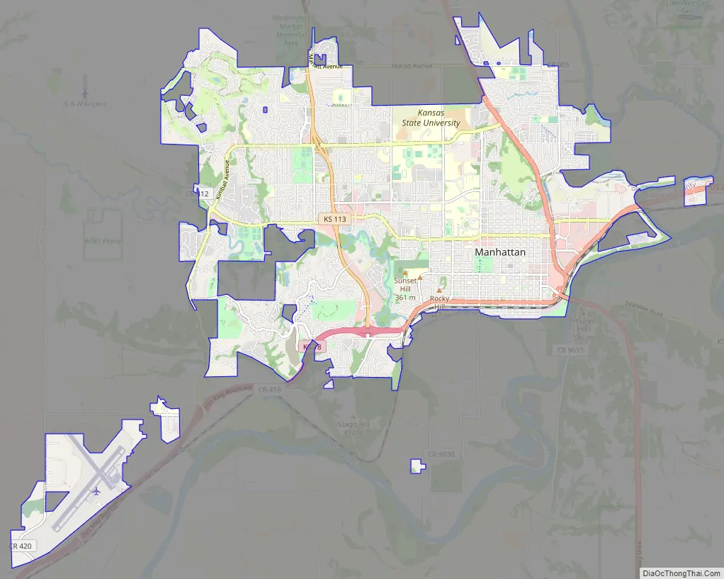
Manhattan Road Map
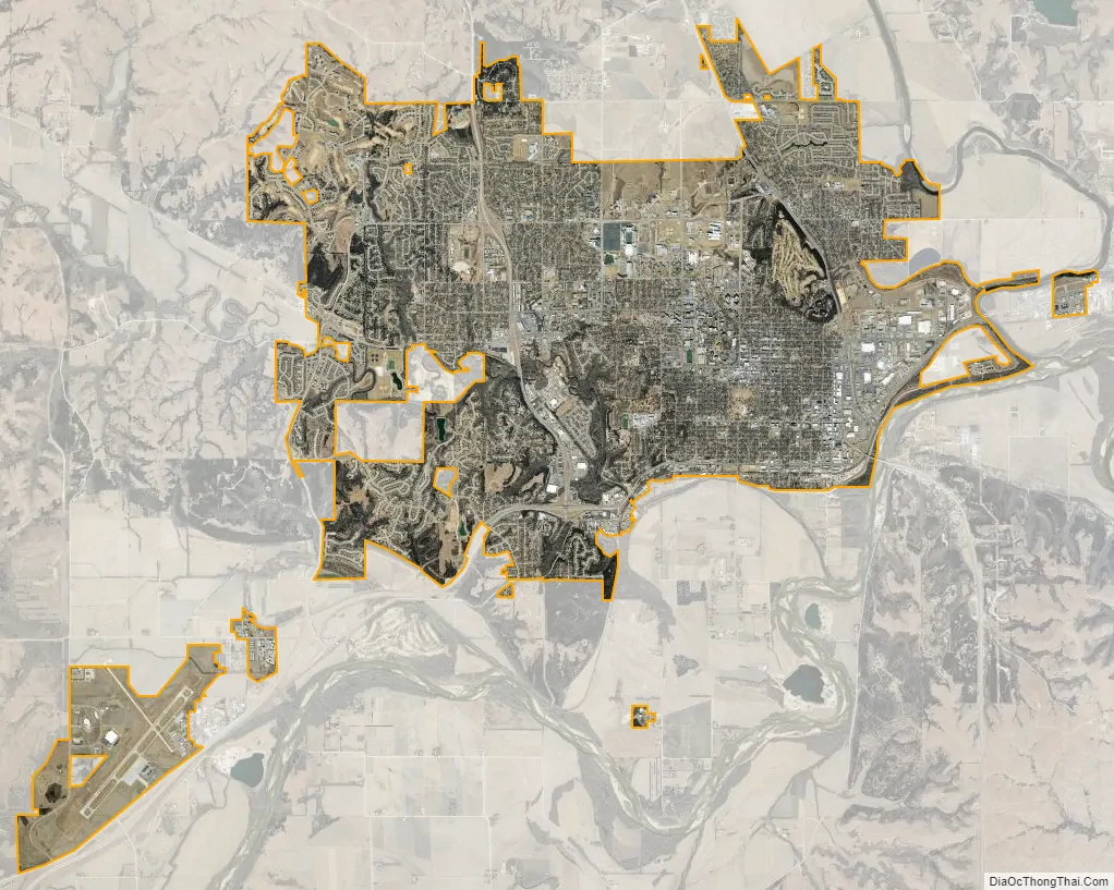
Manhattan city Satellite Map
Geography
Manhattan is located at coordinates 39.1836082, -96.5716694 in the scenic Flint Hills and Great Plains of the state of Kansas, or about 50 miles (80 km) west of Topeka on the Kansas River.
According to the United States Census Bureau, the city has an area of 18.79 square miles (48.67 km), of which 18.76 square miles (48.59 km) is land and 0.03 square miles (0.08 km) is water.
Geographic features
Manhattan is in the Flint Hills region of Kansas, which consists of continuous rolling hills covered in tall grasses. However, the downtown area – Manhattan’s original site – was built on a broad, flat floodplain at the junction of the Kansas and Big Blue rivers. Manhattan is the largest town in the Flint Hills, and is home to the Flint Hills Discovery Center.
Tuttle Creek Reservoir is 5 miles (8 km) north of Manhattan. The lake was formed when the Big Blue River was dammed for flood control in the 1960s, and it is now a state park that offers many recreational opportunities. South of the city is the Konza Prairie, a tallgrass prairie preserve owned by The Nature Conservancy and Kansas State University.
Kansas is not known for earthquake activity, but Manhattan is near the Nemaha Ridge, a long structure bounded by several faults, and which is still active. In particular, the Humboldt Fault Zone lies just 12 miles (19 km) eastward of Tuttle Creek Reservoir.
On April 24, 1867, the 1867 Manhattan earthquake struck Riley County. Measuring 5.1 on the Richter magnitude scale, the earthquake’s epicenter was by Manhattan. It remains the strongest earthquake to originate in Kansas, at an intensity of VII (Very strong) on the Mercalli intensity scale, and felt across roughly 193,051 square miles (500,000 km). It caused largely minor damage, reports of which were confined to Kansas, Iowa, and Missouri, according to the United States Geological Survey.
Although Kansas is not seismically active, a strong earthquake could pose significant threats to the state. If an earthquake had occurred along the Nemaha Ridge prior to 2010, it could have destroyed the dam on Tuttle Creek Reservoir, releasing 300,000 feet (91,440 m) of water per second and flooding the nearby area, threatening roughly 13,000 people and 5,900 homes. A study in the 1980s found a moderate earthquake “between 5.7 to 6.6 would cause sand underneath the dam to liquefy into quicksand, causing the dam to spread out and the top to drop up to three feet.” To address this threat, the Army Corps of Engineers completed a project in July 2010 that replaced the sand with more than 350 concrete walls and equipped the dam with sensors. Alarms are connected to these sensors, which would alert nearby citizens to the earthquake.
Climate
Manhattan has a humid continental climate (Köppen Dfa), typically experiencing hot, humid summers and cold, dry winters. The monthly daily average temperature ranges from 29.1 °F (−1.6 °C) in January to 79.9 °F (26.6 °C) in July. The high temperature reaches or exceeds 90 °F (32 °C) an average of 58 days a year and 100 °F (38 °C) an average of 10 days. The minimum temperature falls to or below 0 °F (−18 °C) on an average 5.3 days a year. Extreme temperatures range from 116 °F (47 °C) on August 13, 1936, down to −35 °F (−37 °C) on February 12, 1899.
On average, Manhattan receives 35.7 inches (907 mm) of precipitation annually, a majority of which occurs from May to August, and records 102 days of measurable precipitation. Measurable snowfall occurs an average of 9.6 days per year with 6.1 days receiving at least 1.0 inch (2.5 cm). Snow depth of at least one inch occurs an average of 22 days a year. Typically, the average window for freezing temperatures is October 12 through April 21.
The state of Kansas falls within an area sometimes called Tornado Alley. The most destructive tornado in Manhattan touched down at approximately 10:30 pm on June 11, 2008. Thirty-one homes and several businesses were destroyed by the EF4 tornado. Kansas State University’s campus incurred about $20 million in damage – a number of university buildings sustained significant damage and the tornado’s winds destroyed the Wind Erosion Laboratory’s garage. No one was killed.
Previously, the most destructive tornado to hit Manhattan was on June 8, 1966. The 1966 tornado caused $5 million in damage and injured at least 65 people in Manhattan.
Manhattan was built on a floodplain at the junction of the Kansas and Big Blue rivers, and it has faced recurring problems with flooding from heavy precipitation. The worst floods were the 1903 and 1908 floods, the Great Flood of 1951, and the Great Flood of 1993. In 2019, record amounts of rainfall in Kansas brought water levels up massive amounts and flood records were broken that had not been seen since 1993. Tuttle Creek Reservoir recorded its second highest flood level ever on May 31 at 1,135.80 feet above sea-level. The only level higher came from The Great Flood of 1993, which recorded an astounding 1,138 feet above sea-level on July 23. The top of the emergency Spillway gates measures at 1,136 feet, only 0.2 feet above the 2019 record lake level. The only time that the emergency Spillway gates have ever been opened was on July 19, 1993, at 3:15 PM. The gates were opened 0.8 feet which allowed 10,000 cubic feet per second of water to move through the downstream channel. The gates were slowly opened more each day until July 23 at a peak 60,000 cubic feet per second (450,000 gallons per second). The gates remained open until August 9, 1993. The normal level for Tuttle Creek Reservoir averages 1,075 feet.
See also
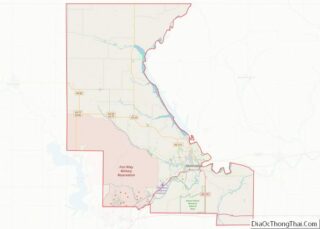
Map of Kansas State and its subdivision:- Allen
- Anderson
- Atchison
- Barber
- Barton
- Bourbon
- Brown
- Butler
- Chase
- Chautauqua
- Cherokee
- Cheyenne
- Clark
- Clay
- Cloud
- Coffey
- Comanche
- Cowley
- Crawford
- Decatur
- Dickinson
- Doniphan
- Douglas
- Edwards
- Elk
- Ellis
- Ellsworth
- Finney
- Ford
- Franklin
- Geary
- Gove
- Graham
- Grant
- Gray
- Greeley
- Greenwood
- Hamilton
- Harper
- Harvey
- Haskell
- Hodgeman
- Jackson
- Jefferson
- Jewell
- Johnson
- Kearny
- Kingman
- Kiowa
- Labette
- Lane
- Leavenworth
- Lincoln
- Linn
- Logan
- Lyon
- Marion
- Marshall
- McPherson
- Meade
- Miami
- Mitchell
- Montgomery
- Morris
- Morton
- Nemaha
- Neosho
- Ness
- Norton
- Osage
- Osborne
- Ottawa
- Pawnee
- Phillips
- Pottawatomie
- Pratt
- Rawlins
- Reno
- Republic
- Rice
- Riley
- Rooks
- Rush
- Russell
- Saline
- Scott
- Sedgwick
- Seward
- Shawnee
- Sheridan
- Sherman
- Smith
- Stafford
- Stanton
- Stevens
- Sumner
- Thomas
- Trego
- Wabaunsee
- Wallace
- Washington
- Wichita
- Wilson
- Woodson
- Wyandotte
- Alabama
- Alaska
- Arizona
- Arkansas
- California
- Colorado
- Connecticut
- Delaware
- District of Columbia
- Florida
- Georgia
- Hawaii
- Idaho
- Illinois
- Indiana
- Iowa
- Kansas
- Kentucky
- Louisiana
- Maine
- Maryland
- Massachusetts
- Michigan
- Minnesota
- Mississippi
- Missouri
- Montana
- Nebraska
- Nevada
- New Hampshire
- New Jersey
- New Mexico
- New York
- North Carolina
- North Dakota
- Ohio
- Oklahoma
- Oregon
- Pennsylvania
- Rhode Island
- South Carolina
- South Dakota
- Tennessee
- Texas
- Utah
- Vermont
- Virginia
- Washington
- West Virginia
- Wisconsin
- Wyoming