Lowell is an unincorporated community in Cherokee County, Kansas, United States. As of the 2020 census, the population of the community and nearby areas was 244.
| Name: | Lowell CDP |
|---|---|
| LSAD Code: | 57 |
| LSAD Description: | CDP (suffix) |
| State: | Kansas |
| County: | Cherokee County |
| Elevation: | 850 ft (260 m) |
| Total Area: | 244 |
| ZIP code: | 66713, 66739 |
| Area code: | 620 |
| FIPS code: | 2043050 |
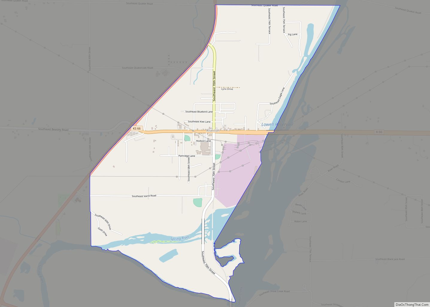
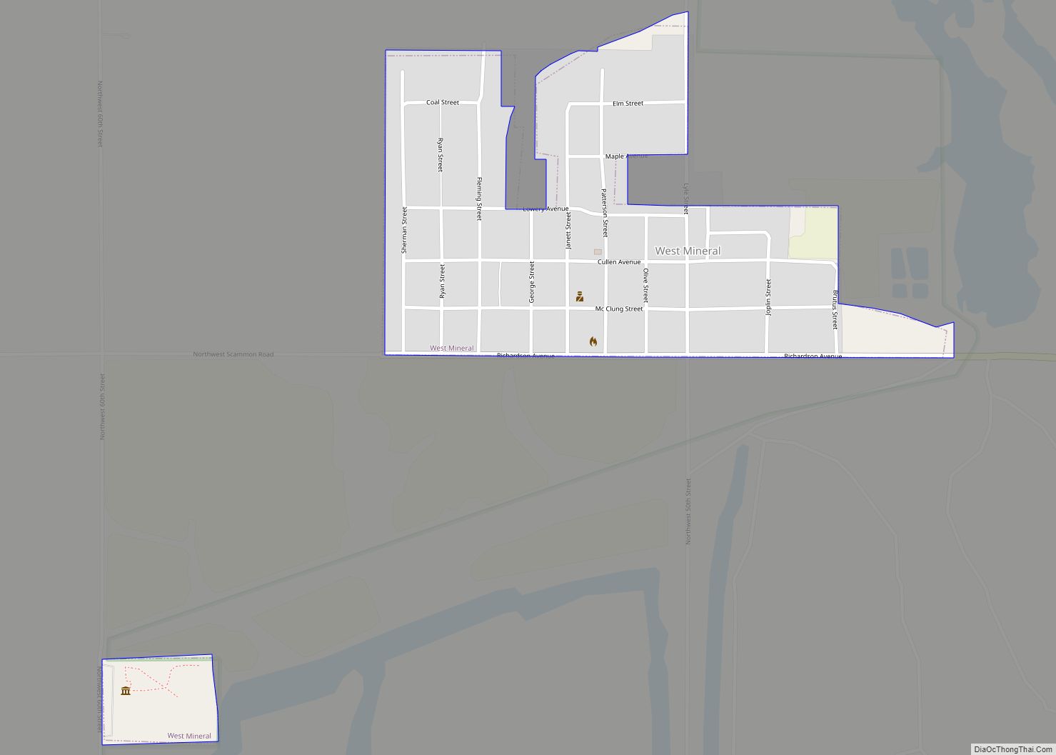
Online Interactive Map
Click on ![]() to view map in "full screen" mode.
to view map in "full screen" mode.
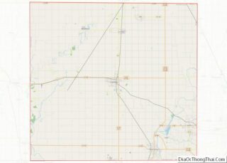
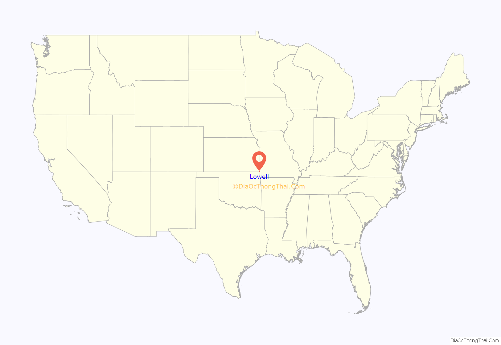
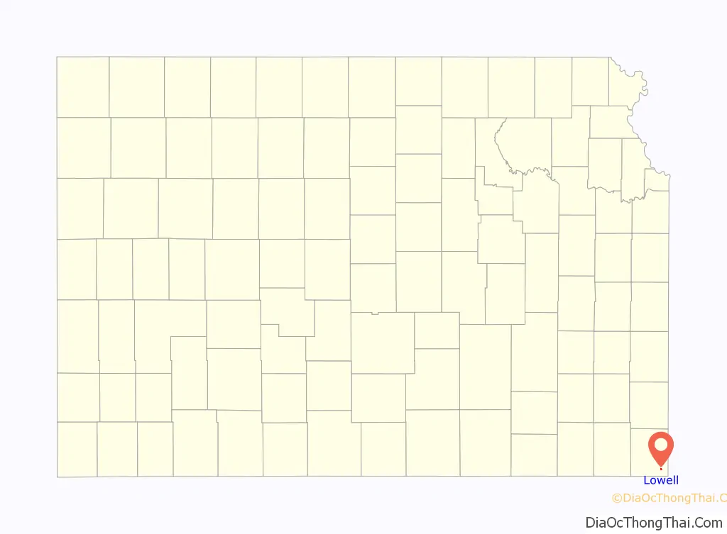
Lowell location map. Where is Lowell CDP?
History
A post office was opened in Lowell in 1868, and remained in operation until it was discontinued in 1905.
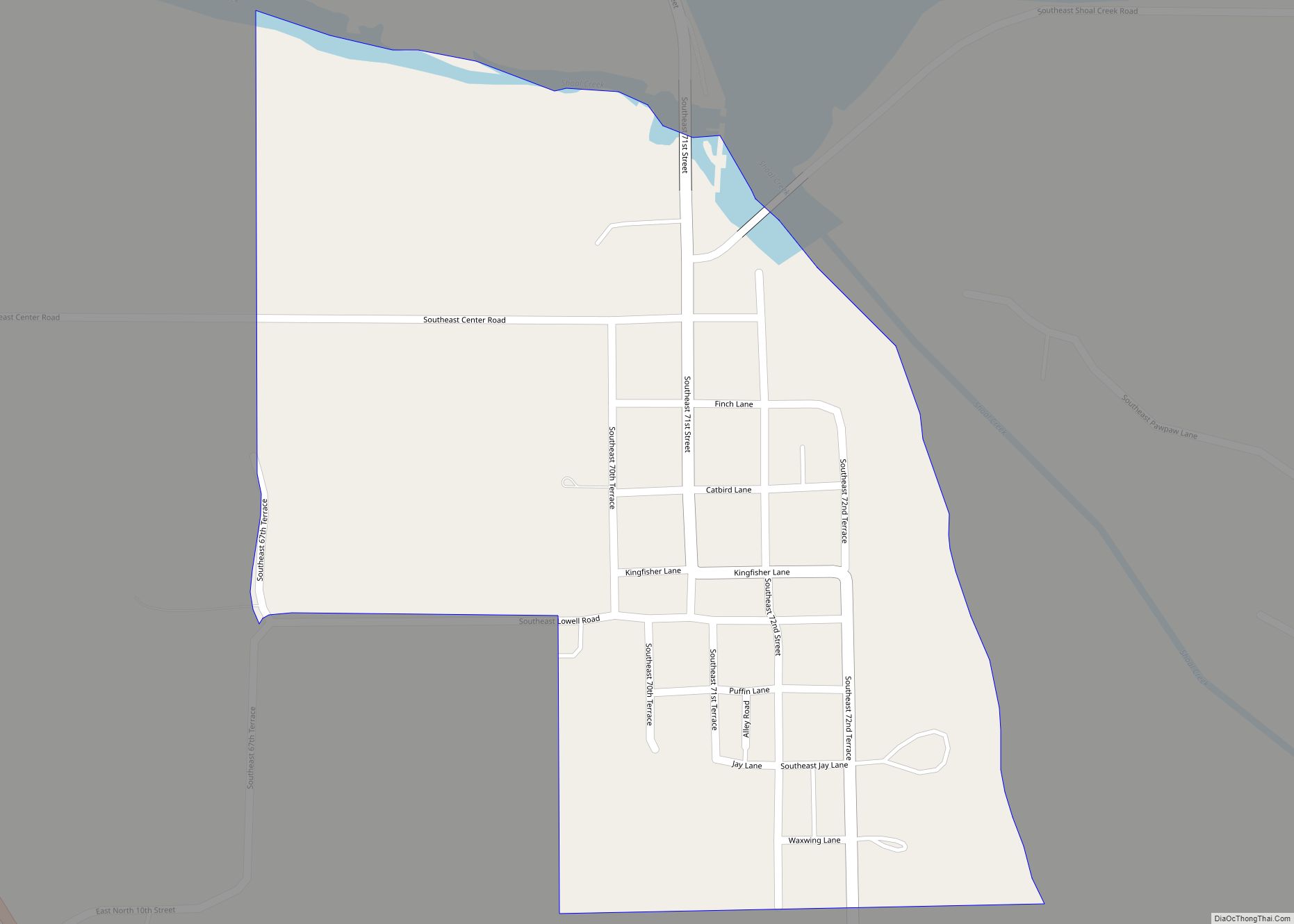
Lowell Road Map
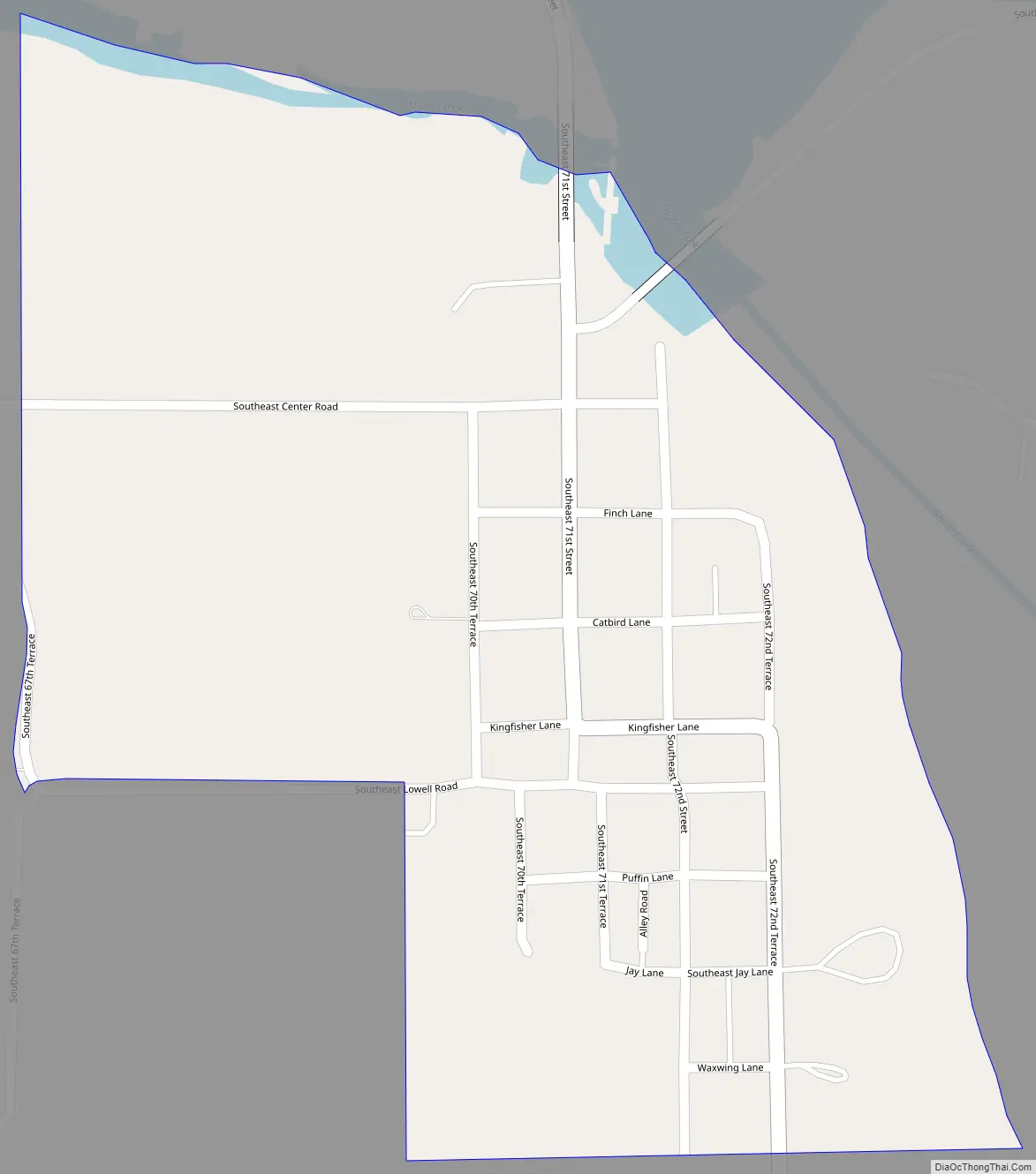
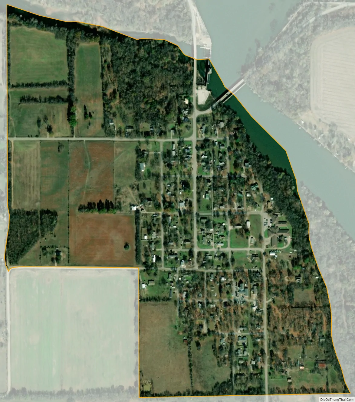
Lowell city Satellite Map
Geography
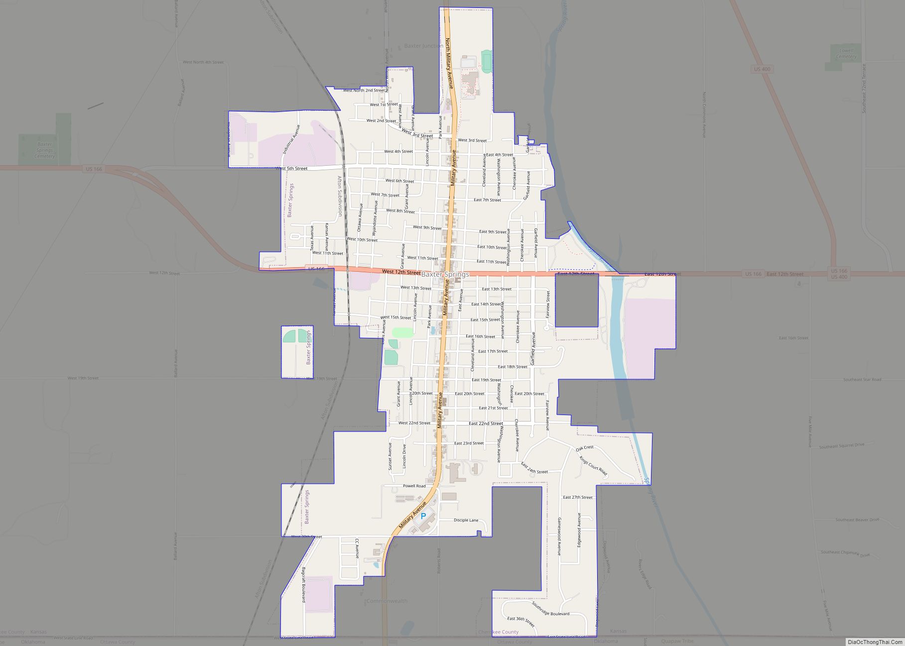
Lowell is located in southeastern Cherokee County near the southeastern corner of Kansas. It is bordered to the north by the Spring River, a tributary of the Neosho River. Across the river is the community of Riverton. Baxter Springs is 4 miles (6 km) by road to the southwest.
See also
Map of Kansas State and its subdivision:- Allen
- Anderson
- Atchison
- Barber
- Barton
- Bourbon
- Brown
- Butler
- Chase
- Chautauqua
- Cherokee
- Cheyenne
- Clark
- Clay
- Cloud
- Coffey
- Comanche
- Cowley
- Crawford
- Decatur
- Dickinson
- Doniphan
- Douglas
- Edwards
- Elk
- Ellis
- Ellsworth
- Finney
- Ford
- Franklin
- Geary
- Gove
- Graham
- Grant
- Gray
- Greeley
- Greenwood
- Hamilton
- Harper
- Harvey
- Haskell
- Hodgeman
- Jackson
- Jefferson
- Jewell
- Johnson
- Kearny
- Kingman
- Kiowa
- Labette
- Lane
- Leavenworth
- Lincoln
- Linn
- Logan
- Lyon
- Marion
- Marshall
- McPherson
- Meade
- Miami
- Mitchell
- Montgomery
- Morris
- Morton
- Nemaha
- Neosho
- Ness
- Norton
- Osage
- Osborne
- Ottawa
- Pawnee
- Phillips
- Pottawatomie
- Pratt
- Rawlins
- Reno
- Republic
- Rice
- Riley
- Rooks
- Rush
- Russell
- Saline
- Scott
- Sedgwick
- Seward
- Shawnee
- Sheridan
- Sherman
- Smith
- Stafford
- Stanton
- Stevens
- Sumner
- Thomas
- Trego
- Wabaunsee
- Wallace
- Washington
- Wichita
- Wilson
- Woodson
- Wyandotte
- Alabama
- Alaska
- Arizona
- Arkansas
- California
- Colorado
- Connecticut
- Delaware
- District of Columbia
- Florida
- Georgia
- Hawaii
- Idaho
- Illinois
- Indiana
- Iowa
- Kansas
- Kentucky
- Louisiana
- Maine
- Maryland
- Massachusetts
- Michigan
- Minnesota
- Mississippi
- Missouri
- Montana
- Nebraska
- Nevada
- New Hampshire
- New Jersey
- New Mexico
- New York
- North Carolina
- North Dakota
- Ohio
- Oklahoma
- Oregon
- Pennsylvania
- Rhode Island
- South Carolina
- South Dakota
- Tennessee
- Texas
- Utah
- Vermont
- Virginia
- Washington
- West Virginia
- Wisconsin
- Wyoming